The best mountain hikes around Karrösten
4.8
(70)
645
hikers
37
hikes
Mountaineering routes around Karrösten are characterized by alpine terrain, prominent summits, and deep valleys within the Tyrolean Alps. The region offers a diverse network of trails, ranging from easier paths through lower elevations to challenging ascents to high peaks. With 37 designated mountaineering routes, including 5 easy, 4 moderate, and 28 difficult options, Karrösten provides varied experiences for different skill levels.
Best mountaineering routes around Karrösten
- The most popular mountaineering route is View of Imst – Tschirgant Summit loop from Karrösten, a 8.9 miles (14.3 km) trail that takes 7 hours 13 minutes to complete. This challenging route offers expansive views from the Tschirgant Summit.
- Another top favourite among local mountaineers is Muttekopf Hut – Jägerstieg loop from Imst, a difficult 10.3 miles (16.6 km) path. This route traverses alpine landscapes, passing by the Muttekopf Hut and offering rugged mountain scenery.
- Local mountaineers also love the Tschirgant Summit – Bergwacht Mountain Hut loop from Karrösten, a 9.6 miles (15.5 km) trail leading through high alpine terrain and past mountain huts, often completed in about 7 hours 35 minutes.
- Mountaineering around Karrösten is defined by alpine summits, forested slopes, and panoramic viewpoints, offering routes for both beginner mountaineering routes Karrösten and advanced mountaineering Karrösten trails. The network includes options for various ability levels, from shorter ascents to demanding multi-hour expeditions.
- The routes in Karrösten are highly rated by the komoot community with an average score of 4.8 stars from over 60 reviews. More than 600 mountaineers have used komoot to explore Karrösten's varied terrain.
Last updated: September 27, 2026
5.0
(4)
67
hikers
14.5km
07:17
1,330m
1,330m
Hard mountaineering route. Very good fitness required. Sure-footedness, sturdy shoes and alpine experience required.
4.8
(8)
51
hikers
16.2km
06:28
1,040m
1,050m
Hard mountaineering route. Very good fitness required. Sure-footedness, sturdy shoes and alpine experience required.

5.0
(2)
36
hikers
15.6km
07:38
1,380m
1,380m
Hard mountaineering route. Very good fitness required. Sure-footedness, sturdy shoes and alpine experience required.
4.3
(3)
31
hikers
8.29km
04:50
830m
830m
Hard mountaineering route. Good fitness required. Sure-footedness, sturdy shoes and alpine experience required.
5.0
(1)
22
hikers
5.46km
01:48
250m
250m
Easy mountaineering route. Great for any fitness level. Easily-accessible paths. Suitable for all skill levels.
Get access to more routes and recommendations from other explorers.
Already have an account?
Our route recommendations are based on thousands of hikes, rides, and runs completed by other people on komoot.
Start today with a free account
Your next adventure awaits.
Popular around Karrösten
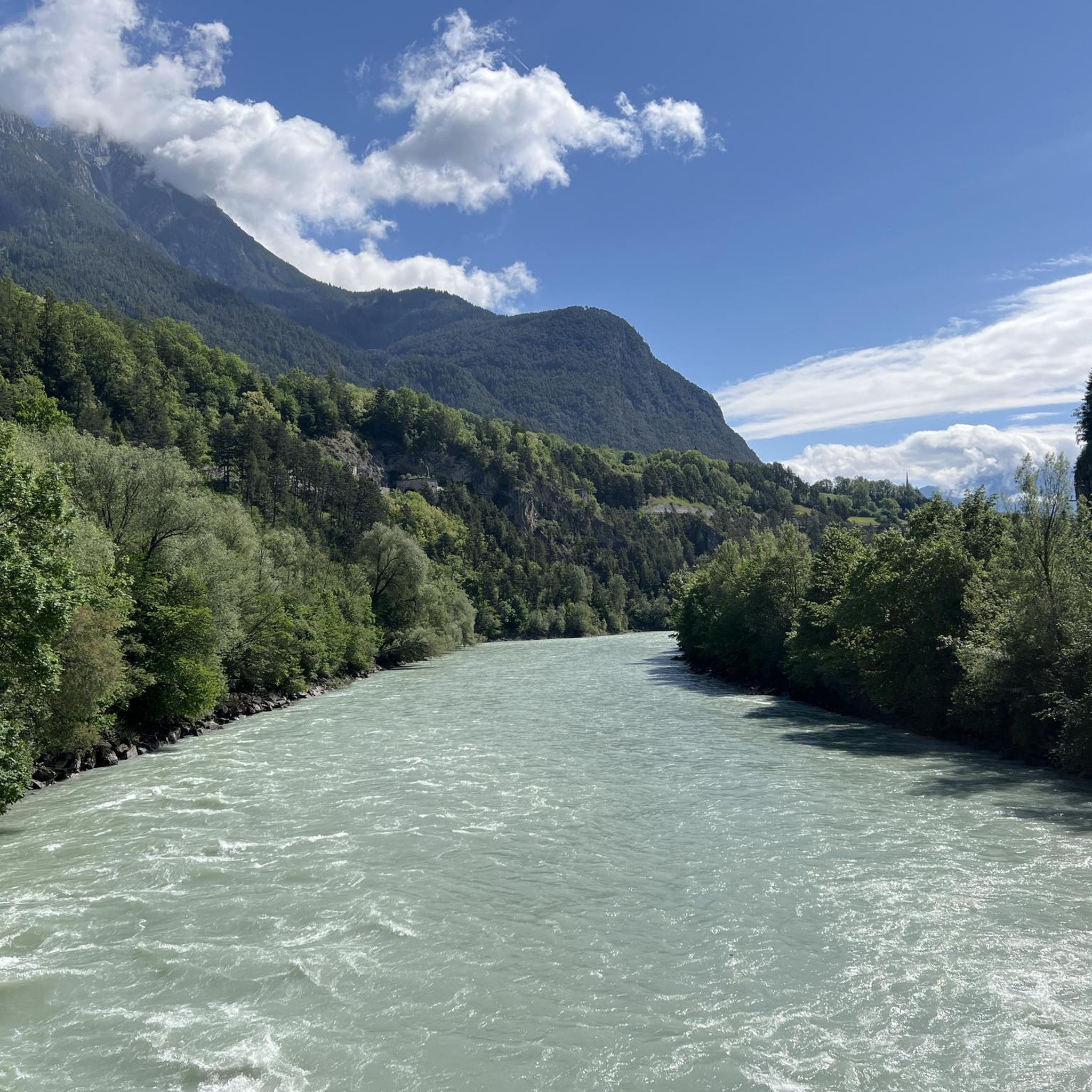
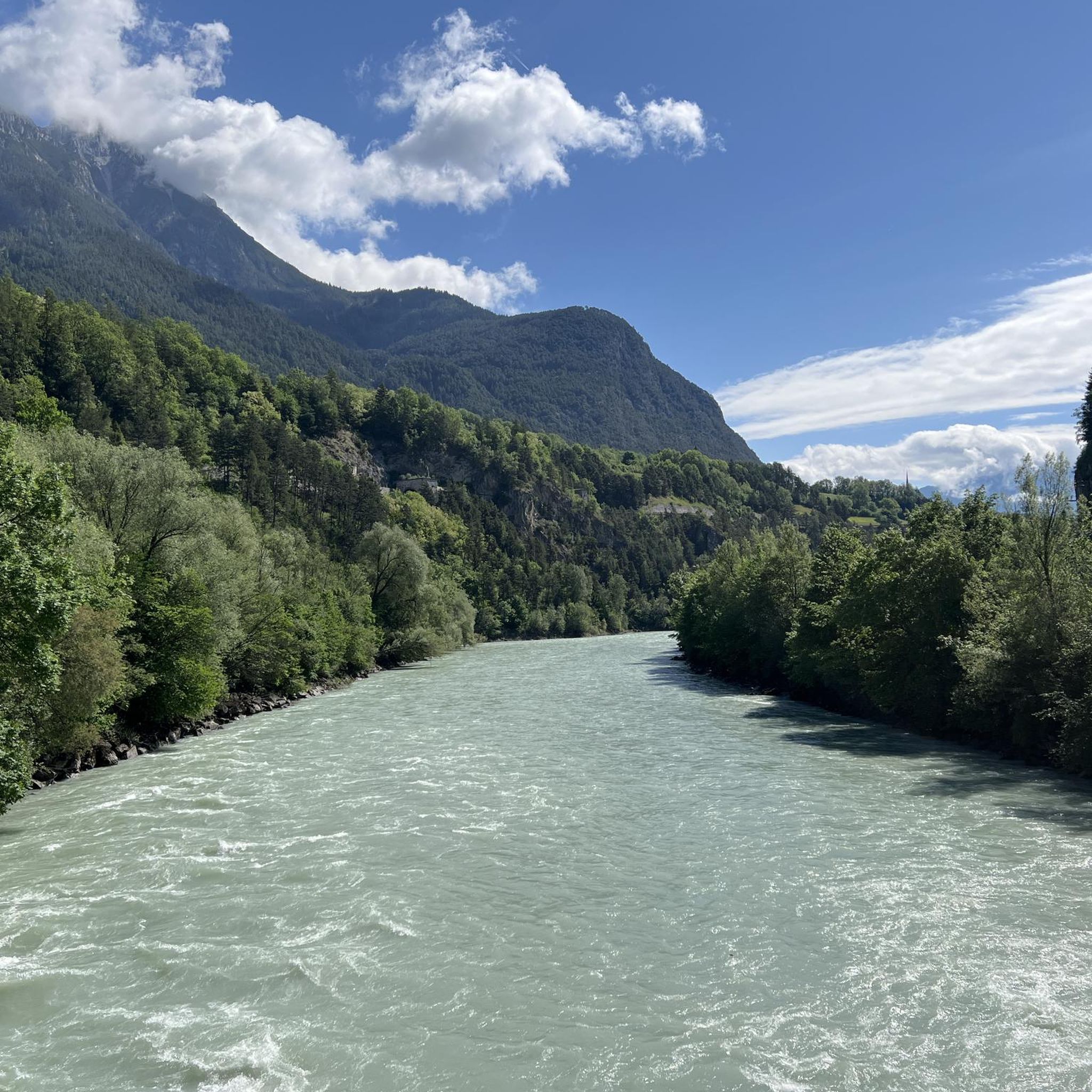
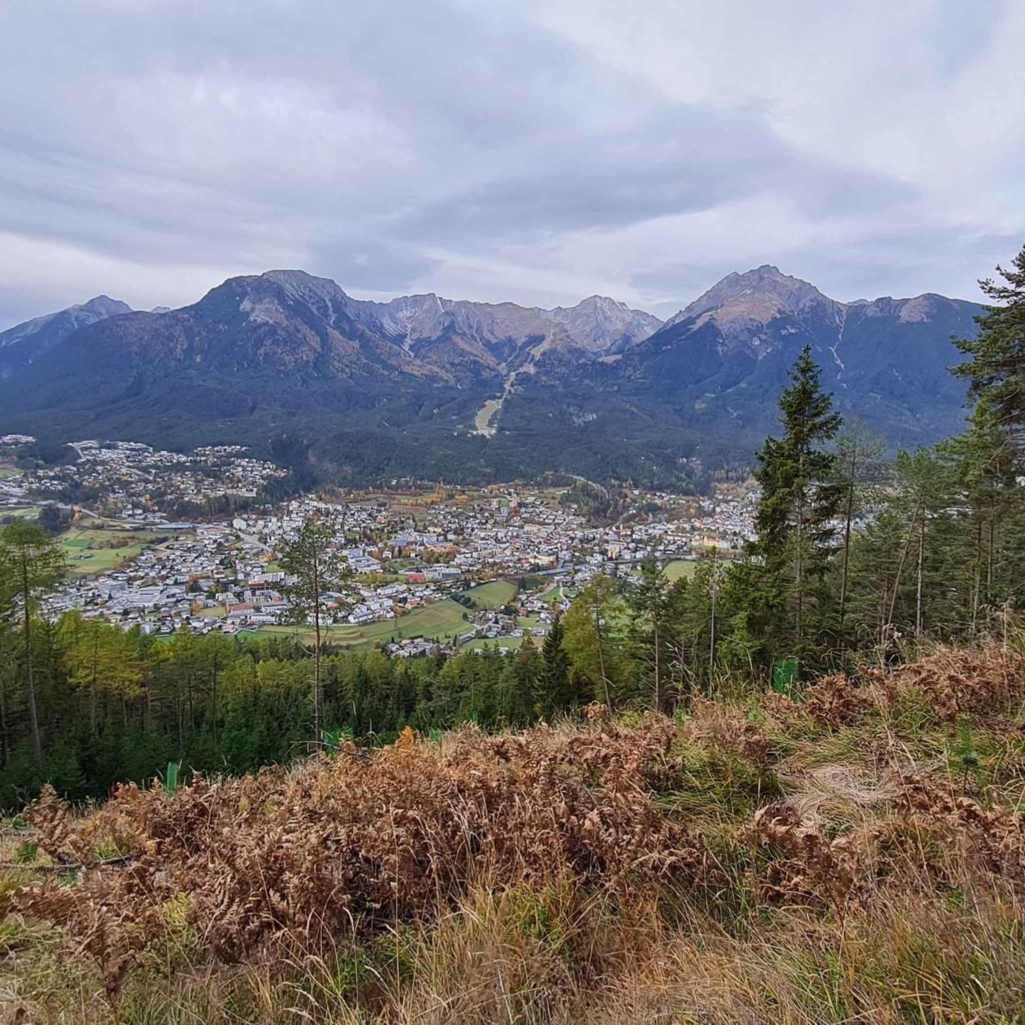


Tips from the Community

Start for the ascent with good refreshment stops
0
0

A very beautiful alpine pasture; unfortunately, the sympathy we were used to has gone down the drain with the new tenant. And if the good lady is reading this – if you're going to criticize someone (at the alpine pasture), it's best to do it at a low volume. But fortunately, this isn't the only alpine pasture in the region.
0
0

Bring enough water! There's none on the mountain.
1
1

Via mountain rescue trail to Tschirgant
1
0

Starting point for bike tours. The public bus goes here. There are restaurants, parking spaces, holiday apartments and sports shops.
2
0

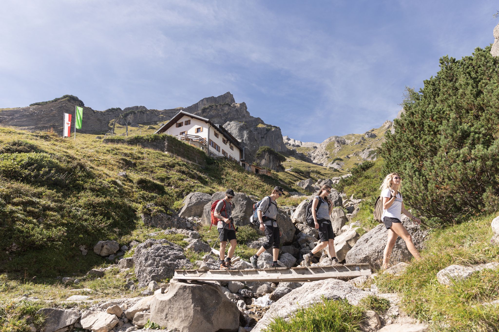
Hiked from the Rosental Gorge from Imst. A beautiful mountain path to the hut. You are rewarded in the hut with a great view of the valley in the middle of the mountains. Friendly staff. The food was OK, but the food on offer was significantly reduced in the evenings (but this could also be due to the approaching end of the season). Prices were great for the effort (food etc. is transported by cable car). Sanitary facilities are well maintained. There are options to book rooms or camp here. It is very nice to sit and linger in the hut in the evening. In the morning there is a buffet on offer. Several peaks and viewpoints can be reached from the hut. The descent into the valley is no problem with the right footwear. All in all a great hut and definitely worth seeing.
2
1

beautiful, well-developed path to the alpine pasture
0
0

Very nice, small, artificially created bathing lake, which invites you to take a cooling bath or at least a foot bath.
1
0
Frequently Asked Questions
What are the difficulty levels of mountaineering routes around Karrösten?
Karrösten offers a wide range of mountaineering routes. You'll find 5 easy routes, 4 moderate options, and 28 challenging trails, catering to various skill levels from beginners to experienced mountaineers.
Are there any shorter mountaineering routes suitable for a quicker outing?
Yes, for a less demanding experience, consider the Old Town of Imst – Wetterkreuz Imst Viewpoint loop from Imst. This easy route is about 5.6 miles (9 km) long and typically takes under 2 hours to complete, offering pleasant views without extensive elevation gain.
Is parking available near the mountaineering trailheads in Karrösten?
Parking is generally available in Karrösten and surrounding villages, often near trailheads or designated parking areas. It's advisable to check local signage for any fees or restrictions, especially during peak season.
Do I need any special permits for mountaineering in Karrösten?
Generally, no special permits are required for mountaineering on marked trails in the Karrösten region. However, always respect local regulations, especially if you plan to enter protected areas or attempt routes that might require specific safety equipment or guided access.
Are there family-friendly mountaineering options in Karrösten?
While many routes are challenging, Karrösten does offer 5 easy mountaineering routes that can be suitable for families with older children or those looking for a less strenuous experience. These trails typically feature gentler ascents and well-maintained paths.
What is the best time of year for mountaineering in Karrösten?
The prime season for mountaineering in Karrösten is typically from late spring (May/June) through early autumn (September/October). During these months, trails are generally free of snow, and weather conditions are more stable. Always check current weather and trail conditions before heading out.
What kind of wildlife might I encounter on the trails?
The Tyrolean Alps around Karrösten are home to diverse wildlife. You might spot chamois, ibex, marmots, and various bird species, including eagles. Remember to observe from a distance and avoid disturbing their natural habitat.
Are there any circular mountaineering trails in Karrösten?
Yes, many of the mountaineering routes in Karrösten are designed as loops, allowing you to start and end at the same point. For example, the challenging View of Imst – Tschirgant Summit loop from Tarrenz offers a complete circuit with stunning views.
What do other mountaineers enjoy most about the routes in Karrösten?
The komoot community highly rates the mountaineering routes in Karrösten, with an average score of 4.8 stars from over 60 reviews. Mountaineers often praise the diverse alpine landscapes, the challenging ascents to prominent summits, and the panoramic views of the Tyrolean Alps.
Are there mountain huts or cafes along the mountaineering routes?
Yes, some of the longer and more challenging routes, like the Tschirgant Summit – Bergwacht Mountain Hut loop from Karrösten, pass by mountain huts (Berghütten) where you can often find refreshments and a place to rest. It's always a good idea to check their opening times in advance.
What are some interesting landmarks or attractions near the mountaineering routes?
Beyond the trails, the region offers several points of interest. You could visit Lake Piburg for a refreshing stop or explore the Hoch-Imst Bathing Lake. For those interested in more active pursuits, the Area 47 adventure park is also nearby.
What gear should I bring for mountaineering in Karrösten?
For mountaineering in Karrösten, essential gear includes sturdy hiking boots, weather-appropriate clothing (layers are key), a backpack with water and snacks, a map or GPS device, sun protection, and a first-aid kit. For more challenging routes, trekking poles and potentially via ferrata equipment might be necessary.
Most popular routes around Karrösten
Most popular attractions around Karrösten

Get inspired with the komoot mobile app


Explore more
Browse the best Mountain Hikes & Routes in other regions.
