The best road cycling routes around Karrösten
4.5
(296)
9,899
riders
53
rides
Road cycling around Karrösten offers diverse terrain at an altitude of 918 meters, situated at the confluence of the Gurgltal and Inntal valleys. The region provides access to the Inntal cycle path, featuring both extensive valley routes and challenging ascents into the surrounding mountains. Cyclists encounter varied landscapes, including idyllic side valleys and well-paved roads that cater to different preferences and fitness levels. The area is characterized by its alpine setting, with the village resting on the slopes of Mount…
Last updated: May 29, 2026
4.8
(6)
338
riders
139km
07:33
2,760m
2,760m
Hard road ride. Very good fitness required. Some segments of this route may be unpaved and difficult to ride.
4.3
(18)
513
riders
Moderate road ride. Good fitness required. Some segments of this route may be unpaved and difficult to ride.

Sign up for free
4.9
(16)
203
riders
42.6km
02:25
940m
940m
Hard road ride. Very good fitness required. Mostly well-paved surfaces and easy to ride.
3.0
(1)
176
riders
96.4km
04:58
1,610m
1,610m
Hard road ride. Very good fitness required. Some segments of this route may be unpaved and difficult to ride.
4.8
(4)
299
riders
77.9km
04:04
1,430m
1,430m
Hard road ride. Very good fitness required. Mostly well-paved surfaces and easy to ride.
Get access to more routes and recommendations from other explorers.
Sign up for free
Already have an account?
Our route recommendations are based on thousands of hikes, rides, and runs completed by other people on komoot.
Start today with a free account
Your next adventure awaits.
Login or Signup
Popular around Karrösten
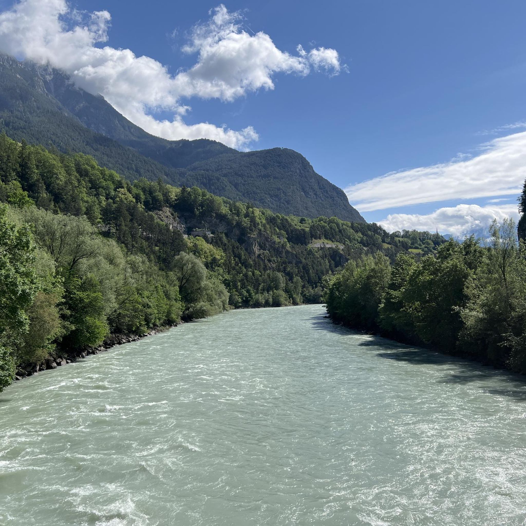
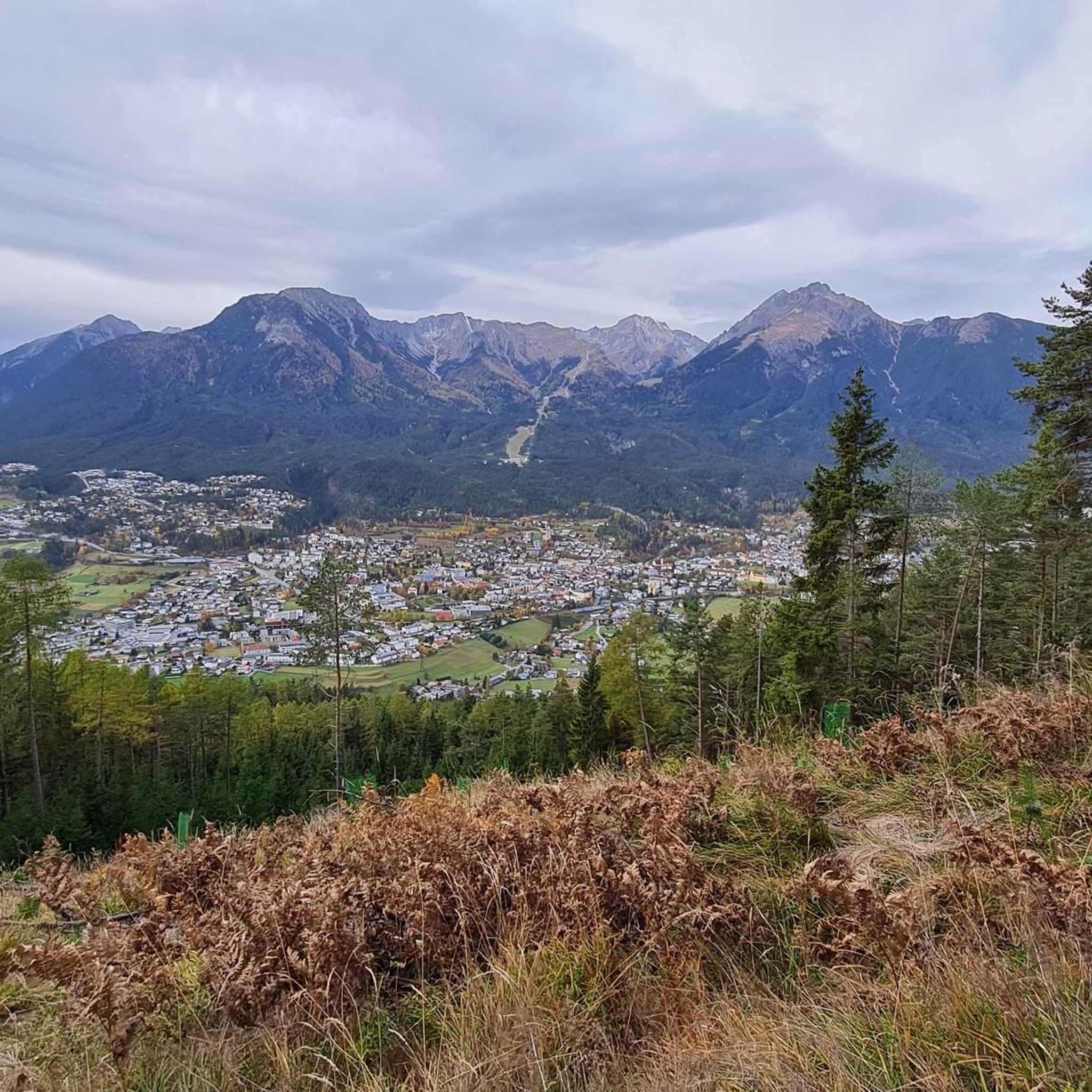


Tips from the Community

You don't always have to go through the Inn Valley. This cross-country route via the Piller Strasse from Wenns to Fliess is also very scenic and rewards you with a magnificent view from the Piller Höhe.
0
0

This brutalist church was built from 1965 to 1967 according to plans by architect Norbert Heltschl. The freestanding, sculptural bell tower is particularly striking. A drinking water fountain is located directly next to the tower.
0
0

Relaxing landscapes excellent cycle path
0
0


the key point right at the beginning of the pass
1
0
fantastic view out of the valley to the Lechtal
1
0

We drove past today, came from St. Anton a. Arlberg. Beautiful landscape
5
0

View on the way up to Hahntennjoch
0
0
Frequently Asked Questions
How many road cycling routes are available around Karrösten?
There are over 50 road cycling routes around Karrösten, offering a wide range of options for different skill levels. The komoot community has explored more than 9,500 road cycling tours in the area.
What kind of terrain can I expect when road cycling in Karrösten?
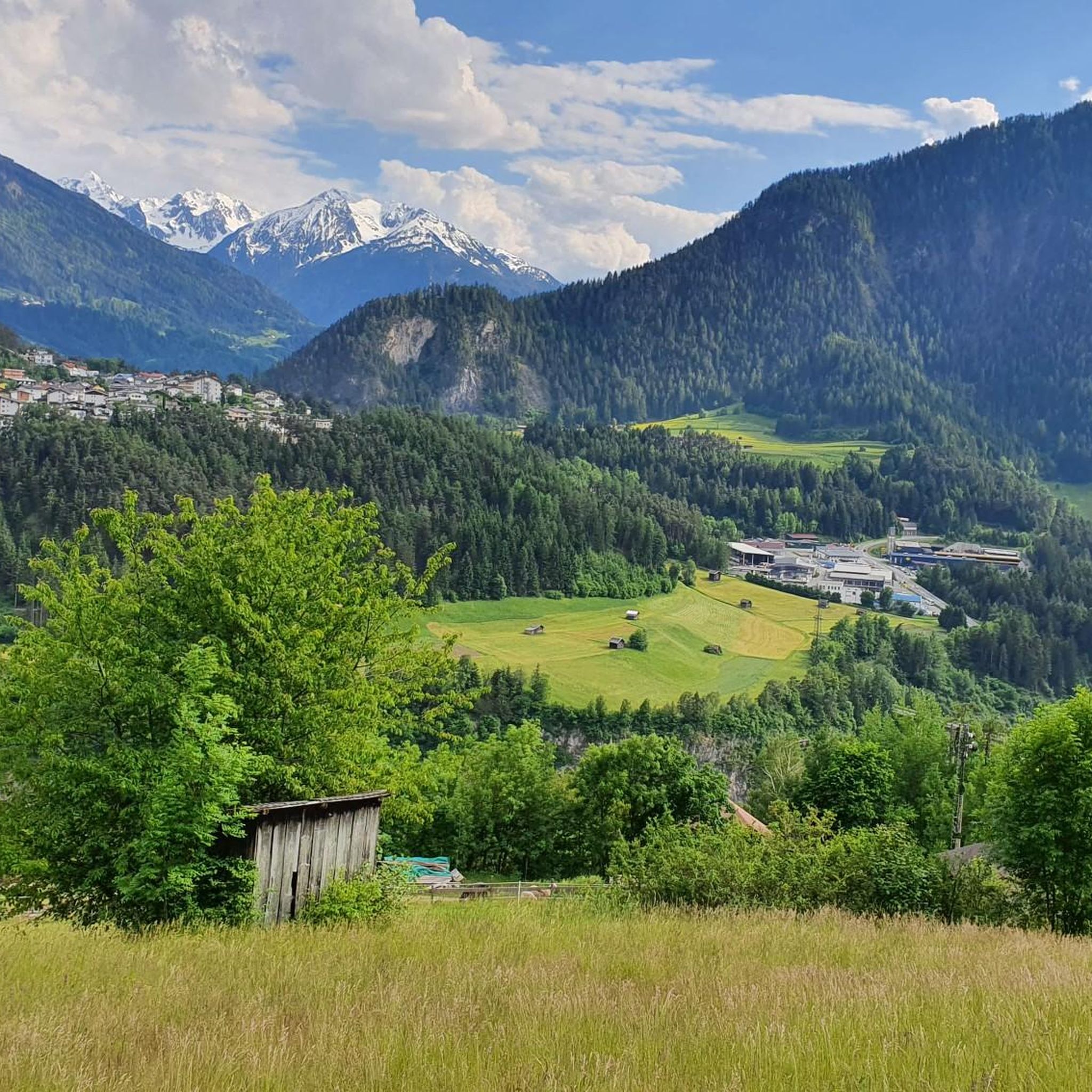
Karrösten, situated at the confluence of the Gurgltal and Inntal valleys, offers diverse terrain. You'll find extensive valley routes, particularly along the Inn Valley Cycle Path, as well as challenging ascents into the surrounding mountains, including the slopes of Mount Tschirgant. This variety caters to both leisurely rides and demanding climbs.
Are there any easy or beginner-friendly road cycling routes in the Karrösten area?
Yes, Karrösten offers 9 easy road cycling routes suitable for beginners or those looking for a more relaxed ride. These routes often follow the valley floors, providing a gentler experience through the picturesque landscapes.
What are some challenging road cycling routes for advanced riders near Karrösten?
For advanced riders seeking a challenge, Karrösten provides 20 difficult routes with significant elevation gains. Notable options include the Hahntennjoch – View of the Zugspitze and the Blindsee loop from Imst-Pitztal, a 107.7 km route with challenging climbs, and the Hahntennjoch Pass summit – Inntal Cycle Path Section Mils loop from Imst-Pitztal, which covers 139.5 km with extensive climbs and descents.
What natural features or landmarks can I see along road cycling routes in Karrösten?
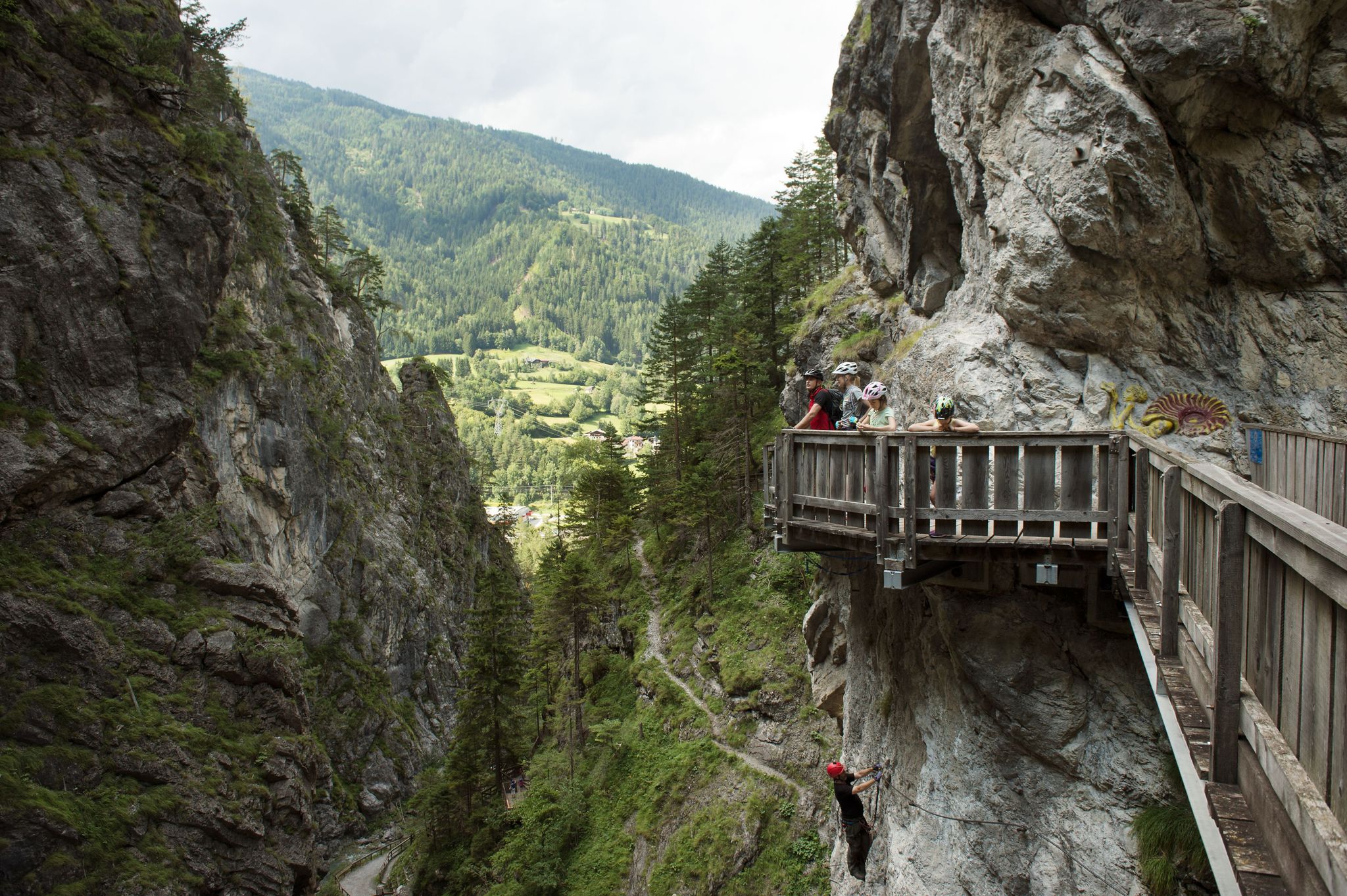
The region is rich in natural beauty. You can cycle past the impressive Rosengarten Gorge with its roaring Schinderbach and waterfalls, or enjoy views of the Inn Valley and Gurgltal. The area also features the unique Lake Piburg and the historic Weller Bridge over the Ötztaler Ache. Higher routes offer panoramic views of the Inntal, Gurgltal, Pitztal, and Ötztal Alps.
Are there any loop trails for road cycling around Karrösten?
Yes, many road cycling routes in Karrösten are designed as loops, allowing you to start and finish in the same location. Examples include the Inntal Cycle Path Section Mils – Inn Valley Cycle Path loop from Imst-Pitztal, which is a substantial 154.1 km, and the Scenic Road with Mountain View loop from Imst-Pitztal, a 42.4 km option.
What is the best time of year for road cycling in Karrösten?
The warmer months, particularly from late spring to early autumn, are generally the best for road cycling in Karrösten. During this period, the weather is more stable, and mountain passes are typically clear of snow, allowing access to the full range of routes, including higher elevations.
Are there any family-friendly road cycling options in Karrösten?
While many routes involve climbs, the extensive Inntal Cycle Path sections offer flatter, well-paved surfaces that can be suitable for families with older children or those looking for a less strenuous ride. It's advisable to check individual route profiles for elevation and distance to ensure they match your family's fitness level.
What do other road cyclists enjoy most about the routes in Karrösten?
The road cycling routes in Karrösten are highly rated by the komoot community, with an average score of 4.6 stars from over 270 reviews. Cyclists frequently praise the diverse terrain, from scenic valley paths to challenging alpine ascents, and the breathtaking panoramic views of the surrounding mountains.
Are there places to stop for refreshments or accommodation along the road cycling routes?
Yes, the region around Karrösten offers various opportunities for refreshment and accommodation. You'll find mountain huts like the Latschen Hut, Larcher Alpine Hut, and Muttekopf Hut, which serve Tyrolean delicacies during the hiking season. Villages along the Inntal and Gurgltal also provide cafes, pubs, and guesthouses.
What are the public transport options for accessing road cycling routes in Karrösten?
Karrösten is well-connected within the broader Tyrol region. Public transport, including buses, can provide access to various starting points for road cycling routes, especially those along the Inntal valley. It's recommended to check local bus schedules and bike transport policies for specific routes.
Are there any unique natural monuments to see while cycling near Karrösten?
Yes, the area is home to North Tyrol's highest sweet chestnut tree, a protected natural monument since the 1960s. This ancient tree grows on the slopes towards the Karröster Alm, offering a unique natural sight for cyclists exploring the local roads.
Most popular routes around Karrösten
Most popular attractions around Karrösten

Get inspired with the komoot mobile app


Explore more
Browse the best Road cycling routes in other regions.
