The best running trails around St. Veit an der Gölsen
5.0
(1)
135
runners
21
runs
Jogging routes around St. Veit an der Gölsen are situated between the Vienna Woods and the foothills of the Alps, offering a varied landscape. The region features extensive meadows and forests, providing a natural environment for running. The Gölsen river flows through the area, and the St. Veiter Staff offers views over the Vienna Woods heights and the Gölsental valley. Elevations range from 369 to 1,399 meters above sea level, presenting diverse terrain for runners.
Best jogging routes around St.…
Last updated: July 1, 2026
17
runners
9.68km
01:18
440m
440m
Hard run. Very good fitness required. Sure-footedness, sturdy shoes and alpine experience required.
21
runners
Hard run. Very good fitness required. Mostly paved surfaces. Suitable for all skill levels.

Sign up for free
11
runners
16.8km
02:32
910m
900m
Hard run. Very good fitness required. Sure-footedness, sturdy shoes and alpine experience required.
9
runners
6.60km
00:41
40m
40m
Moderate run. Good fitness required. Mostly paved surfaces. Suitable for all skill levels.
6
runners
Moderate run. Good fitness required. Mostly paved surfaces. Suitable for all skill levels.
Get access to more routes and recommendations from other explorers.
Sign up for free
Already have an account?
Our route recommendations are based on thousands of hikes, rides, and runs completed by other people on komoot.
Start today with a free account
Your next adventure awaits.
Login or Signup

Tips from the Community

The food tastes good, but apart from the pasta dishes and meat dumplings (which are very, very tasty), it is very manageable.
0
0

The Lilienfeld Local History Museum is housed in a historic building that is itself part of the town's history and reflects the traditional character of the region. The old structure, with its solid walls and simple rooms, lends the museum an authentic atmosphere and provides a fitting setting for the exhibition. The museum displays exhibits on the history of Lilienfeld, on rural and craft life, and on the everyday lives of previous generations. By operating as a museum, the building is not only preserved but also used as an important place for the preservation and dissemination of local cultural heritage.
0
0

Pleasant sunny rest area next to the bridge
1
0
The bicycle bridge over the Gölsen River connects the Gölsen Valley Cycle Path with the Traisen Valley Cycle Path and is located just before the Gölsen River flows into the Traisen River. Its modern construction, with a light-colored surface and wooden siding, blends harmoniously into the surroundings. Crossing it, a sweeping view opens up over the lower Gölsen Valley with its meadows, groves of trees, and rolling hills. Especially in good weather or in the evening light, the landscape appears tranquil and idyllic. From here, cyclists can easily cross from the narrow Gölsen Valley into the open Traisen Valley, making the bridge a small but important connecting point between two popular cycle paths.
2
0

The parish church of St. Veit an der Gölsen is located west of the market town of St. Veit an der Gölsen in the Lilienfeld district of Lower Austria. The Roman Catholic parish church, dedicated to St. Veit and incorporated into Göttweig Abbey, belongs to the deanery of Lilienfeld in the Diocese of St. Pölten.
0
0

A rustic landlady and a good snack - we'll be back soon!
0
0

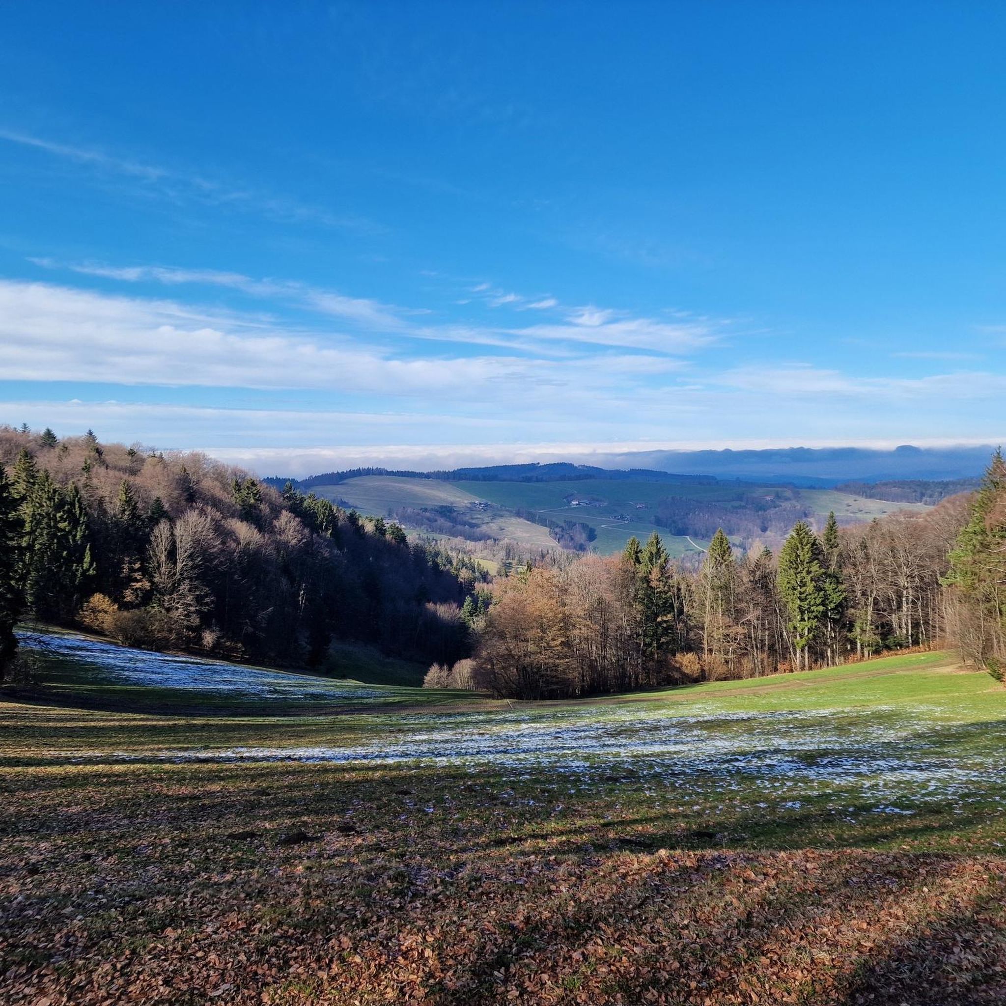
magnificent view of the Alpine foothills from the Schneeberg over Hochschwab to the Gesäuse
0
0
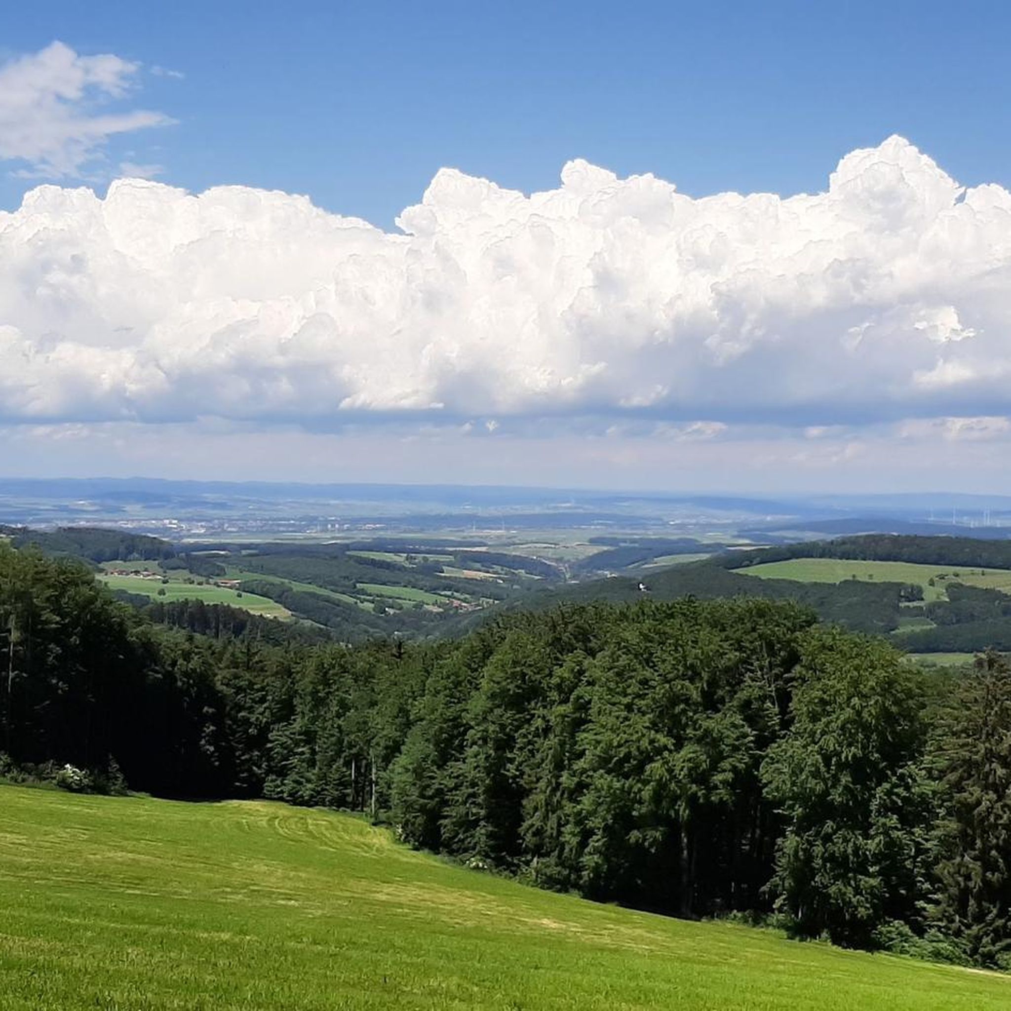
magnificent view of the Alpine foothills from the Schneeberg over Hochschwab to the Gesäuse
0
0
Frequently Asked Questions
How many running routes are available in St. Veit an der Gölsen?
St. Veit an der Gölsen offers a diverse network of over 20 running routes. These include 13 moderate and 10 difficult trails, catering to various fitness levels and preferences.
What kind of terrain can I expect on the jogging trails around St. Veit an der Gölsen?
The region is characterized by a varied landscape, nestled between the Vienna Woods and the foothills of the Alps. You'll find extensive meadows and forests, with elevations ranging from 369 to 1,399 meters above sea level. The Gölsen river also flows through the area, potentially offering riverside paths. Expect a mix of moderate inclines and more challenging ascents.
Are there any circular running routes in St. Veit an der Gölsen?
Yes, St. Veit an der Gölsen features several excellent circular running routes. A popular option is the Running loop from Wiesenfeld-Schwarzenbach, a moderate 6.6 km trail. For a longer, more challenging loop, consider the Reisalpe – Bergsturzloch loop from Inner-Wiesenbach, which covers 16.7 km with significant elevation gain.
What are some scenic points or landmarks I can see while running in the area?
The St. Veiter Staff area offers expansive views over the Vienna Woods heights and the Gölsental valley. You can explore this on the Parish Church of St. Veit – Staff Hut loop from St. Veit an der Gölsen. Other notable natural features include the Gölsen River and the region's diverse forests and meadows. Historically, the area also has a 12th-century castle site on the St. Veiter Staff and the Gothic parish church.
What do other runners think about the trails in St. Veit an der Gölsen?
The running routes in St. Veit an der Gölsen are highly rated by the komoot community, with an average score of 4.5 stars. Over 130 runners have used komoot to explore the varied terrain, often praising the natural environment and the diverse challenges offered by the trails.
Are there any longer, more challenging running routes for experienced runners?
Absolutely. For experienced runners seeking a challenge, the Lilienfeld Local History Museum – Chineser Observation Tower loop from Traisen is a difficult 17 km route. Another demanding option is the Reisalpe – Bergsturzloch loop from Inner-Wiesenbach, which features over 900 meters of elevation gain over 16.7 km.
Are there any running routes that pass by historical sites or cultural points of interest?
Yes, some routes offer glimpses of the region's history. The Parish Church of St. Veit – Staff Hut loop from St. Veit an der Gölsen takes you through the St. Veiter Staff area, where early medieval castle remains can be found. The Gothic parish church, known as the 'Cathedral of the Gölsental', is also a prominent landmark in the municipality.
What are the best seasons for jogging in St. Veit an der Gölsen?
St. Veit an der Gölsen is suitable for outdoor activities throughout much of the year. Spring and autumn offer pleasant temperatures and vibrant scenery with blooming meadows or colorful foliage. Summer is also great, especially in the shaded forest sections. Winter running is possible, but conditions may vary, and some trails might be snow-covered.
Are there any routes that follow the Gölsen River?
The Gölsen River flows through the area, adding to the natural beauty. While specific routes dedicated solely to the riverside are not detailed, many trails in the region will likely offer sections or views along the river, providing a gentler running experience in parts.
Where can I find parking near the running trailheads?
While specific parking locations for every trailhead are not listed, St. Veit an der Gölsen is well-equipped for outdoor enthusiasts. It's common for trailheads, especially for popular routes, to have designated parking areas. For routes starting from specific villages like Wiesenfeld-Schwarzenbach or St. Veit an der Gölsen, parking is generally available within the village or at the start of the trail.
Are there any running events or organized runs in St. Veit an der Gölsen?
Yes, the 'Naturfreunde St. Veit / Gölsen' actively promotes running and hosts events like the 'Stafflauf,' which includes various distances and elevation profiles, such as the 'Stafflauf extrem' and 'Stafflauf light.' The Stafflauf is also part of the 'Traisentaler Berglaufcup' (mountain running cup), indicating a vibrant running community.
Can I combine my run with a visit to a mountain peak or hut?
Yes, the region around St. Veit an der Gölsen is rich with mountain peaks and huts that can be incorporated into longer, more challenging runs or used as destinations. Notable peaks include Hochstaff Summit and Hohenstein Summit. You might also find huts like Türnitzer Hut or Kaiserkogel Hut along or near some trails, offering a place to rest or refuel.
Most popular routes around St. Veit an der Gölsen
Most popular attractions around St. Veit an der Gölsen

Get inspired with the komoot mobile app


Explore more
Browse the best Running Trails & Routes in other regions.
