The best cycling routes around St. Veit an der Gölsen
4.8
(78)
632
riders
21
rides
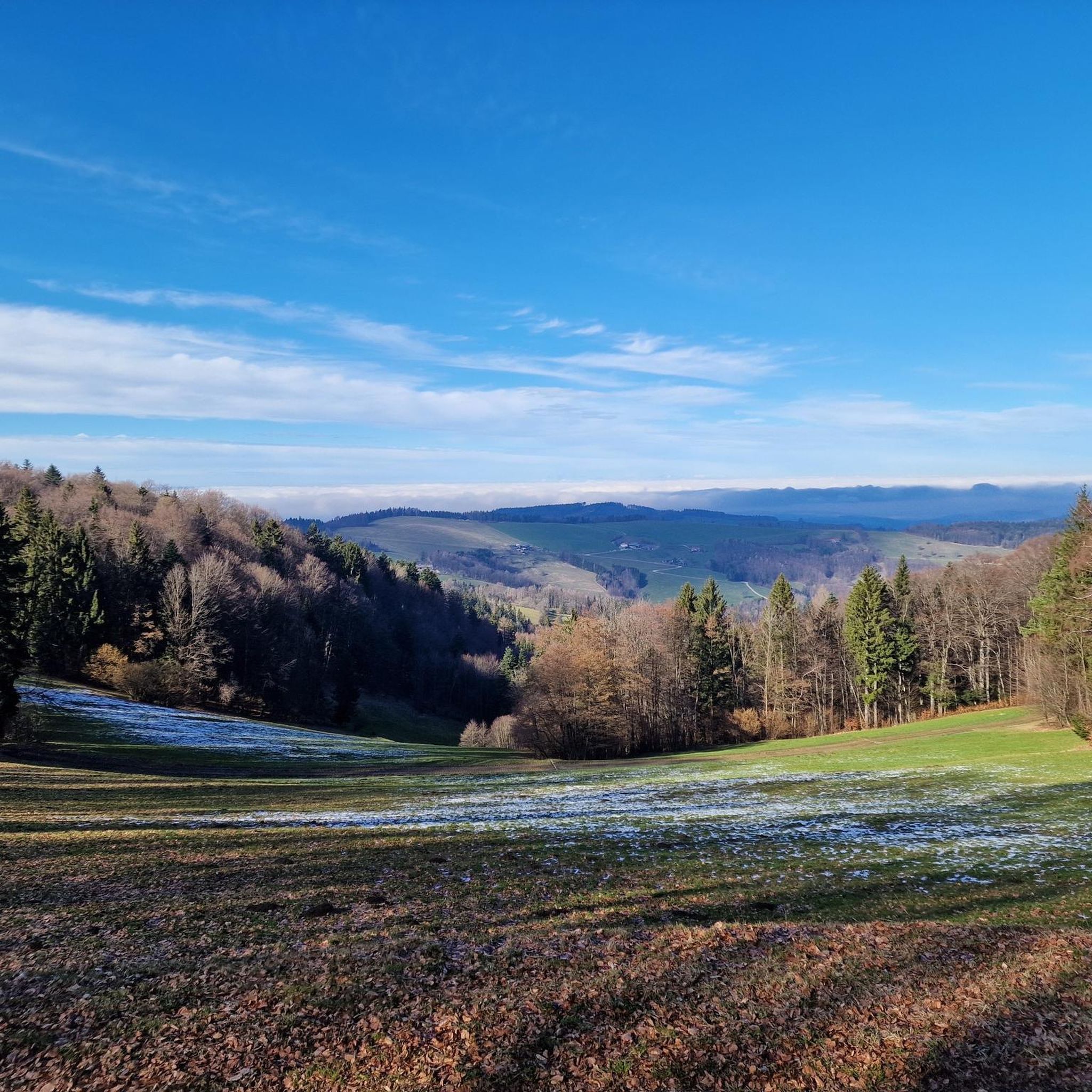
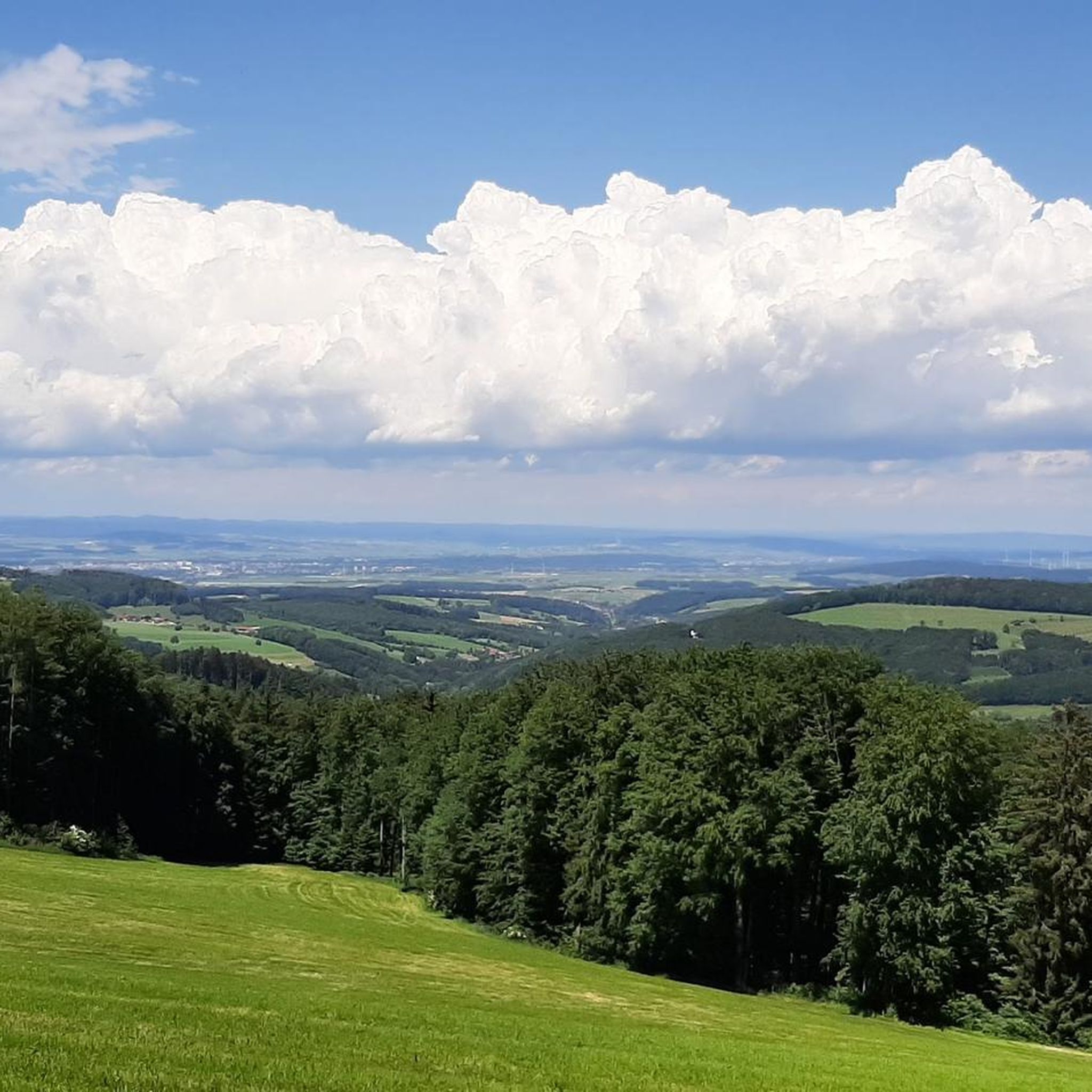
Touring cycling routes around St. Veit an der Gölsen are situated between the Vienna Woods and the foothills of the Alps, offering varied terrain for cyclists. The region features rolling hills and mountains, with elevations ranging from 369 to 1,399 meters above sea level. The Gölsental Valley provides gentle routes along river paths, while other areas present more challenging ascents and descents.
Best touring cycling routes around St. Veit an der Gölsen
- The most popular touring cycling route is Lilienfeld Abbey – Rail Trail Tunnel loop from Traisen, a 26.7 miles (43.0 km) trail that takes 2 hours 37 minutes to complete. This moderate route is mostly paved and suitable for various skill levels.
- Another top favourite among local touring cyclists is Parish Church of Ramsau – Parish Church of St. Veit loop from Wiesenfeld-Schwarzenbach, a difficult 31.4 miles (50.5 km) path. This route offers scenic views across the Danube Valley towards the Waldviertel.
- Local touring cyclists also love the View of St. Veit Parish Church – Kukubauerhütte loop from Wiesenfeld-Schwarzenbach, a 17.8 miles (28.6 km) trail leading through rolling hills and mountains, often completed in about 2 hours 1 minute.
- Touring cycling around St. Veit an der Gölsen is defined by the Gölsental Valley, Vienna Woods, and Alpine foothills. The network offers options for different ability levels, from gentle river paths to more demanding routes.
- The routes in St. Veit an der Gölsen are highly rated by the komoot community with an average score of 4.8 stars from over 60 reviews. More than 500 touring cyclists have used komoot to explore St. Veit an der Gölsen's varied terrain.
Last updated: October 5, 2026
4.7
(30)
180
riders
43.0km
02:37
360m
360m
Moderate bike ride. Good fitness required. Mostly paved surfaces. Suitable for all skill levels.
4.4
(22)
122
riders
Moderate bike ride. Good fitness required. Mostly paved surfaces. Suitable for all skill levels.

5.0
(2)
69
riders
43.0km
03:56
1,380m
1,380m
Hard bike ride. Very good fitness required. Mostly paved surfaces. Suitable for all skill levels.
5.0
(2)
36
riders
27.9km
01:58
420m
420m
Moderate bike ride. Good fitness required. Mostly paved surfaces. Suitable for all skill levels.
25
riders
116km
07:22
1,370m
1,370m
Hard bike ride. Very good fitness required. Mostly paved surfaces. Suitable for all skill levels.
Get access to more routes and recommendations from other explorers.
Already have an account?
Our route recommendations are based on thousands of hikes, rides, and runs completed by other people on komoot.
Start today with a free account
Your next adventure awaits.

Tips from the Community

A beautiful resting and information point, here it goes up to the observatory.
0
0
A nice information and rest stop.
0
0


The Dickenauer Tunnel is a former railway tunnel in Lower Austria, which today is part of the car-free Türnitz cycle path (R4a). With a length of 155 meters (partially 154.7 m), it is one of three tunnels on the route between Freiland and Türnitz, which runs along the railway line closed in 2001.
0
0

The catering is entirely geared towards seminars and conferences, with small snacks in between and a buffet during the main meals. Unusual requests are also kindly accepted and fulfilled.
1
0
beautiful MTB trail through the Haselrastklamm
0
0
beautiful river in the Triestingtal
0
0
Frequently Asked Questions
How many touring cycling routes are available in St. Veit an der Gölsen?
There are over 20 touring cycling routes around St. Veit an der Gölsen, catering to various preferences and fitness levels. These include 8 easy, 6 moderate, and 8 difficult routes, offering diverse experiences from gentle river paths to challenging ascents.
Are there any easy or family-friendly touring cycling routes in the region?
Yes, St. Veit an der Gölsen offers several easy routes suitable for families or those seeking a relaxed ride. The Gölsental cycle path, for instance, provides a gentle journey through idyllic landscapes, perfect for observing local wildlife. For a moderate option, the Lilienfeld Abbey – Rail Trail Tunnel loop from Traisen is mostly paved and suitable for various skill levels.
What kind of terrain can I expect on the touring cycling routes?
The terrain around St. Veit an der Gölsen is quite varied, ranging from 369 to 1,399 meters above sea level. You'll find gentle routes along river paths in the Gölsental Valley, as well as rolling hills and mountains in the Vienna Woods and Alpine foothills. Routes feature a mix of paved and unpaved sections, offering diverse challenges for touring cyclists.
What interesting sights or landmarks can I see along the touring cycling routes?
Many routes pass by significant cultural and natural attractions. You can explore historical sites like the 12th-century castle site on the St. Veiter Staff or the Gothic parish church. For those interested in nature, the St. Veiter Staff is known for its diverse flora, including various orchid species. Some routes also lead past charming huts like the Traisner Hut or the Lilienfelder Hut, offering scenic stops.
Are there any circular touring cycling routes available?
Yes, many routes in the region are designed as loops, allowing you to start and end at the same point. An example is the View of St. Veit Parish Church – Kukubauerhütte loop from Wiesenfeld-Schwarzenbach, which takes you through rolling hills and mountains.
What do other touring cyclists enjoy most about cycling in St. Veit an der Gölsen?
The touring cycling routes in St. Veit an der Gölsen are highly rated by the komoot community, with an average score of 4.8 stars from over 60 reviews. Cyclists often praise the varied terrain, the scenic views across the Danube Valley, and the well-maintained paths that cater to different skill levels.
Are there any challenging touring cycling routes for experienced riders?
Absolutely. For experienced touring cyclists seeking a demanding experience, routes like the Parish Church of Ramsau – Parish Church of St. Veit loop from Wiesenfeld-Schwarzenbach offer a difficult 50.5 km path with significant elevation changes. Another challenging option is the Triesting Cycle Path – Haselrast Crucifix and Cave loop from Rainfeld-Kleinzell, which spans over 116 km.
Can I find places to eat or rest along the cycling routes?
Yes, the region is known for its cyclist-friendly infrastructure. Many routes pass by refreshment stops, allowing you to take a break and refuel. You'll find various cafes and pubs in the towns and villages along the trails.
What is the best time of year to go touring cycling in St. Veit an der Gölsen?
The spring, summer, and early autumn months generally offer the most pleasant conditions for touring cycling in St. Veit an der Gölsen. During these seasons, the weather is typically mild, and the natural landscapes, including the diverse flora of the St. Veiter Staff, are at their most vibrant.
Is public transport available to access the cycling routes?
While specific public transport connections directly to every trailhead may vary, St. Veit an der Gölsen is generally accessible. It's advisable to check local bus or train schedules for connections to the main towns or starting points of the routes. For more detailed information on the region's accessibility, you can visit the official Lower Austria tourism site: lower-austria.info.
Are there any specific routes that offer great viewpoints?
Yes, the region's location between the Vienna Woods and the Alpine foothills means many routes offer stunning vistas. For example, the Parish Church of Ramsau – Parish Church of St. Veit loop from Wiesenfeld-Schwarzenbach provides scenic views across the Danube Valley towards the Waldviertel. The Donaublick Route, while primarily for mountain biking, also highlights the excellent viewpoints available to cyclists in the broader area.
Most popular routes around St. Veit an der Gölsen
Most popular attractions around St. Veit an der Gölsen

Get inspired with the komoot mobile app


Explore more
Browse the best Cycling routes in other regions.
