The best mountain hikes around Reißeck
4.9
(96)
760
hikers
27
hikes
Mountaineering around Reißeck offers a diverse and wild mountain landscape within the High Tauern of Carinthia, Austria. The region features long valleys, alpine meadows, and steep peaks, including the Reißeck Group and parts of the Kreuzeck Group, all situated within the Hohe Tauern National Park. Dense forests and clear streams also characterize the lower elevations, leading up to challenging high mountain terrain. Key peaks like Großes Reißeck, at 2,965 meters (9,728 ft), provide panoramic views across the surrounding ranges.
Best…
Last updated: September 28, 2026
5.0
(1)
49
hikers
Moderate mountaineering route. Good fitness required. Easily-accessible paths. Suitable for all skill levels.
5.0
(5)
26
hikers
6.02km
04:41
740m
740m
Hard mountaineering route. Good fitness required. Sure-footedness, sturdy shoes and alpine experience required.

12
hikers
15.2km
06:36
1,170m
1,170m
Hard mountaineering route. Very good fitness required. Mostly accessible paths. Sure-footedness required.
5.0
(1)
16
hikers
10.9km
04:43
850m
850m
Moderate mountaineering route. Good fitness required. Mostly accessible paths. Sure-footedness required.
5.0
(4)
11
hikers
7.05km
04:23
740m
740m
Hard mountaineering route. Good fitness required. Sure-footedness, sturdy shoes and alpine experience required.
Get access to more routes and recommendations from other explorers.
Already have an account?
Our route recommendations are based on thousands of hikes, rides, and runs completed by other people on komoot.
Start today with a free account
Your next adventure awaits.
Popular around Reißeck
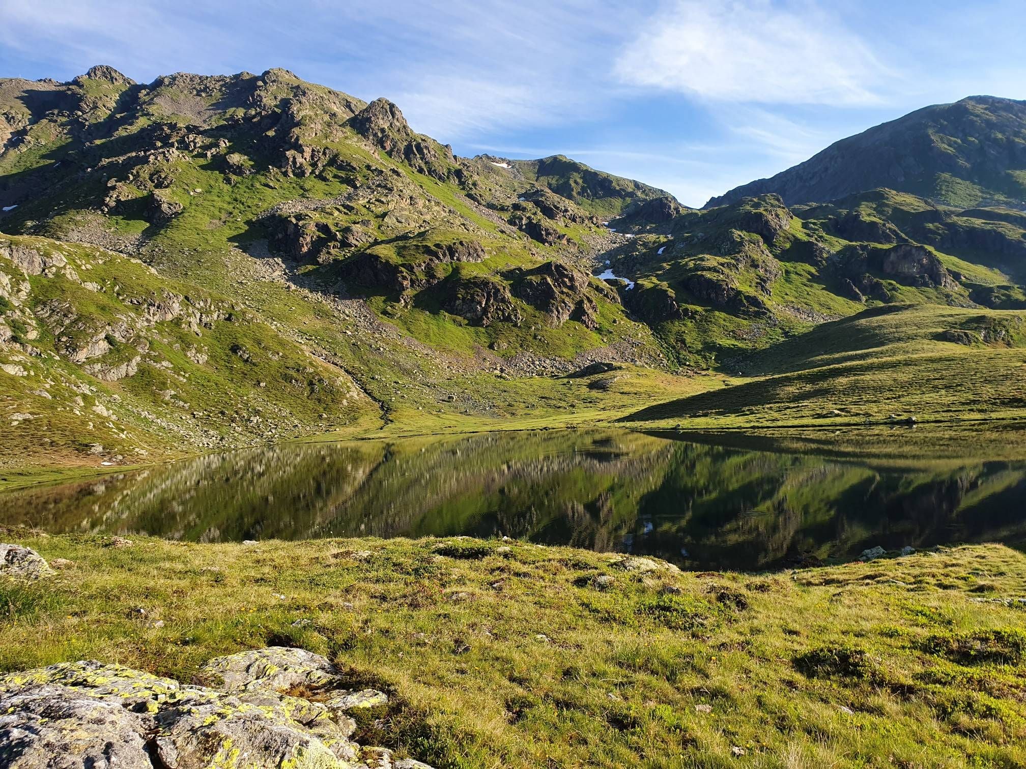
The Kreuzeck Trail — Hike remote paths in the southern Austrian Alps

Alpe-Adria-Trail: My long-distance hike from the glacier to the sea
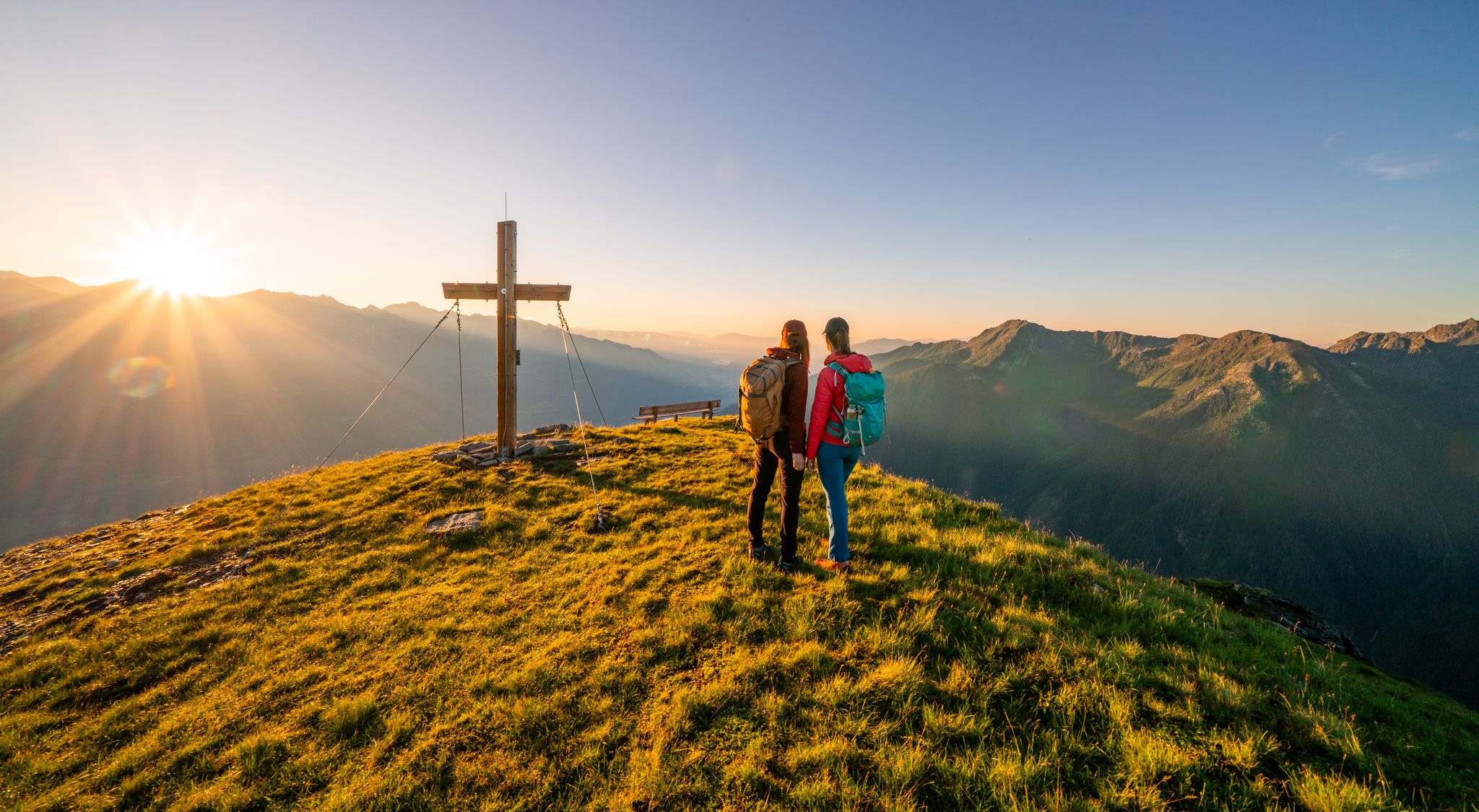
Your time out – long-distance hiking trails in the High Tauern

Magnificent mountain biking on Austria's alpine pastures
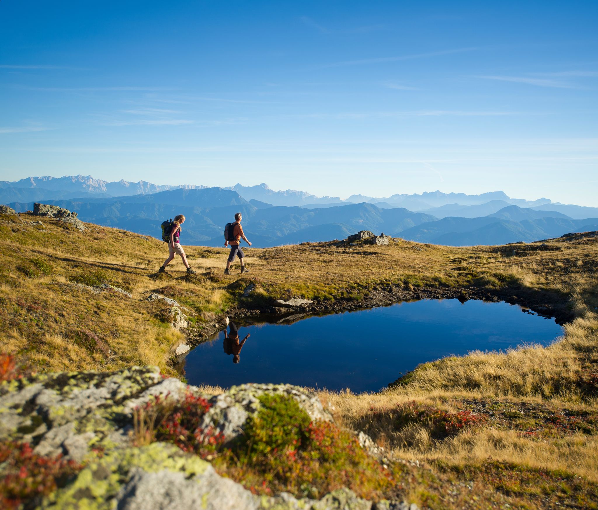
Hiking Without a Footprint on the Alpe-Adria-Trail

From the Grossglockner to the sea on the Alpe Adria Trail
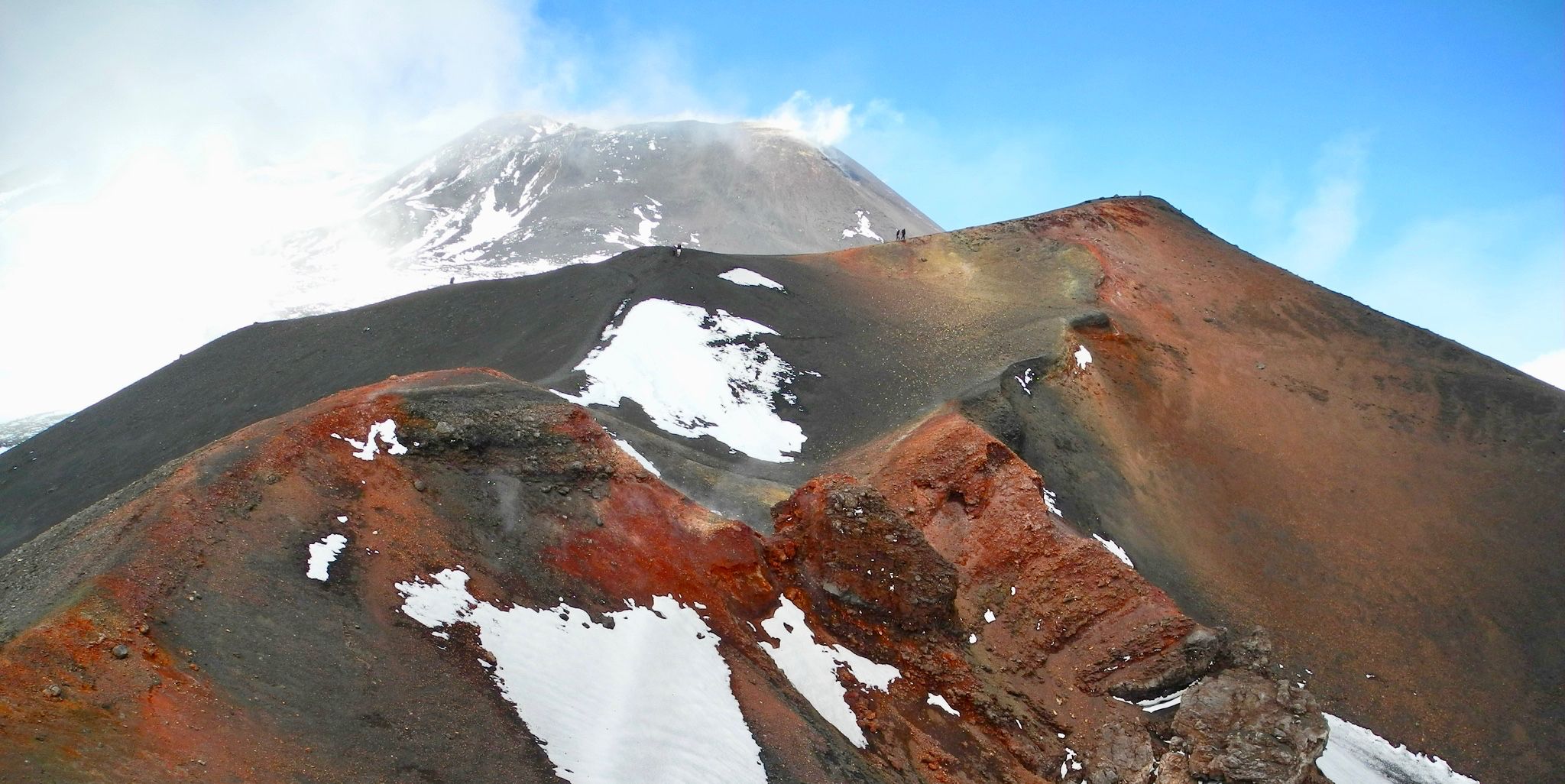
Holy mountains and their stories
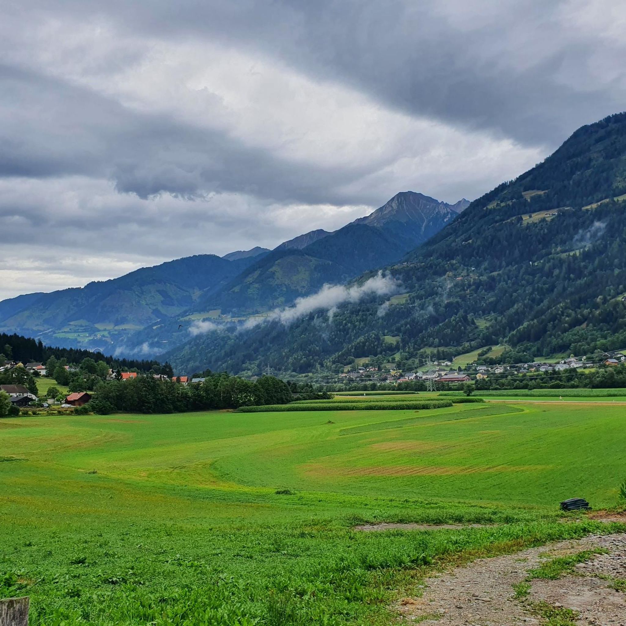
Cycling around Reißeck
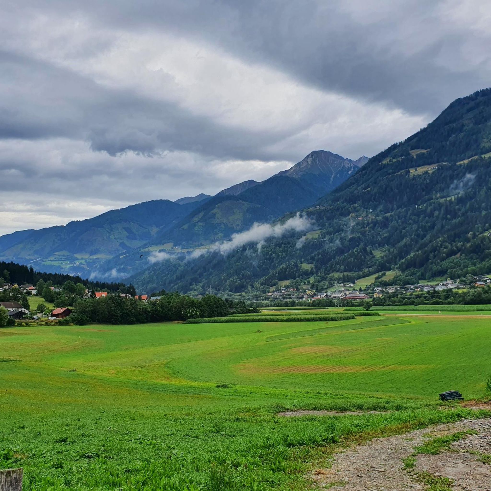
Hiking around Reißeck
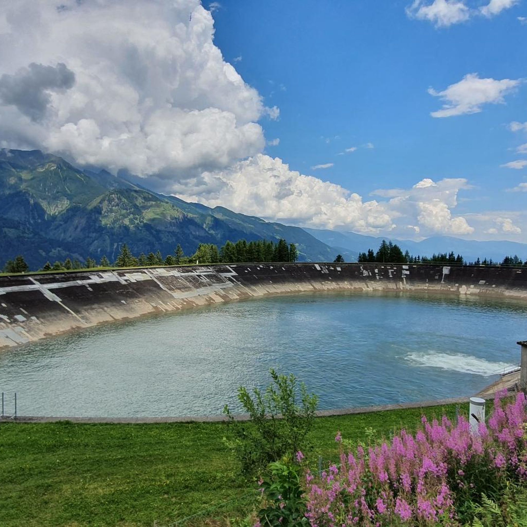
Road Cycling Routes around Reißeck
Other adventures around Reißeck


Tips from the Community


Super nice hut and an incredibly nice hut host!
0
0

It is probably emptied daily...by whom? In any case, we were not prepared and did not have a map with us. It was a bit too windy for a break, so we sat down in the lee of the nearby lake.
0
0


Not very difficult, very varied, high alpine mountain hike in a unique landscape. However, you need to be in good shape - it is also possible to spend the night in the Arthur-von-Schmid-Haus. You definitely need to be sure-footed and not afraid of heights for the final climb over the southern ridge.
2
0

It used to be called the “women’s three-thousander”. “Easy entry to the three-thousander” is nicer and more accurate. Also works with sure-footed children. But it can also be rough if the weather isn't right. It is best to go from the A.-v.-Schmid-Haus (2-3 hours). The climb is steep at times and you have to be careful at the top for loose stones and rubble. You will be rewarded with a great view of the Hohe Tauern, over to Dachstein, Tennengebirge, Hochkönig, in the south the Karawanken and in front of you Hochalmspitze and Ankogel.
1
0
If you're intrepid, you can go swimming here when it's 10 degrees or less.
2
0

The best way to climb is the evil nose over the ridge from the Hummelkopf.
0
0
Frequently Asked Questions
How many mountaineering routes are available in Reißeck?
There are nearly 30 mountaineering routes around Reißeck, catering to various skill levels. You'll find a mix of 1 easy, 11 moderate, and 17 difficult trails, offering diverse experiences within the region.
What kind of terrain can I expect when mountaineering in Reißeck?
Reißeck offers a diverse and wild mountain landscape within the High Tauern of Carinthia. Expect long valleys, wonderful meadows, and steep peaks. The terrain ranges from dense forests and clear streams at lower elevations to challenging high mountain areas, including parts of the Kreuzeck Group, which demands sure-footedness and a head for heights.
Are there any family-friendly mountaineering options in Reißeck?
Yes, while many routes are challenging, there are options suitable for families. For instance, the Raggaschlucht Gorge loop from Flattach is an easy 2.4-mile (3.8 km) trail that takes you through a dramatic gorge, making it a great choice for a less strenuous outing.
What natural features or attractions can I see along the mountaineering routes?
The Reißeck area is rich in natural beauty. You can explore stunning gorges and waterfalls like the Ragga gorge and waterfalls and the Groppenstein Waterfall. There are also picturesque lakes such as Stappitzer Lake and various viewpoints offering expansive vistas, including a notable View of the Möll Valley.
Are there any circular mountaineering routes in Reißeck?
Yes, many routes in Reißeck are designed as loops, allowing you to experience varied scenery without retracing your steps. Examples include the challenging Gießener Hütte loop from Gießener Hütte, which explores high alpine terrain, or the moderate Gießener Hütte loop from Parkplatz Obere Thomanbaueralm 1677 m.
What do other mountaineers enjoy most about the routes in Reißeck?
The routes in Reißeck are highly rated by the komoot community, with an average score of 4.9 stars from over 90 reviews. Mountaineers often praise the region's wild and diverse mountain landscape, the breathtaking panoramic views from peaks like Großes Reißeck, and the extensive network of trails that cater to various skill levels.
Are there any routes that lead to prominent peaks or offer significant views?
Absolutely. The region is known for its impressive peaks. For a challenging ascent with spectacular views, consider the Dösner Lake – Säuleck Summit (3,086 m) loop from Dösener See. Großes Reißeck itself, at 2,965 meters, offers panoramic views of the surrounding High Tauern ranges, Dolomites, Karawanks, and Julian Alps.
What is the best time of year for mountaineering in Reißeck?
The warmer months, typically from late spring to early autumn, are ideal for mountaineering in Reißeck, as the high alpine trails are generally free of snow. However, the region also offers winter activities like ski tours and snowshoe hikes, so the 'best' time depends on your preferred activity.
Are there any regulations or permits required for hiking in the Hohe Tauern National Park area of Reißeck?
As Reißeck is part of the Hohe Tauern National Park, it's important to respect national park regulations, which typically include rules on waste disposal, staying on marked trails, and protecting wildlife. While general hiking usually doesn't require permits, specific activities or restricted zones might. It's always advisable to check with local information centers or the National Park authority for the most current guidelines.
Where can I find accommodation or places to eat near the Reißeck hiking areas?
The Reißeck Hut serves as a crucial base for mountaineers, offering accommodation and refreshments. Additionally, nearby towns like Kolbnitz and Spittal an der Drau provide various options for cafes, pubs, and accommodation, catering to visitors exploring the region.
Are there any particularly challenging routes for experienced mountaineers?
Yes, Reißeck offers several demanding routes for experienced mountaineers. The Mountain mailbox – Hochkreuz (2709 m) loop from Kraftwerk Wölla is a difficult 10.6-mile (17.1 km) trail with significant elevation gain, providing a substantial challenge and rewarding alpine experience.
Most popular routes around Reißeck
Most popular attractions around Reißeck

Get inspired with the komoot mobile app


Explore more
Browse the best Mountain Hikes & Routes in other regions.
