The best hikes from bus stations around Reißeck
4.6
(1736)
9,171
hikers
12
hikes
Bus station hiking trails around Reißeck are situated in Carinthia, Austria, within the Hohe Tauern National Park. The region features a landscape of majestic peaks, deep valleys, dense forests, and alpine meadows. Key natural features include the Möll and Lieser rivers, the Reißeck massif with its highest peak at 2,965 meters, and the less frequented Kreuzeck Group known for its mountain lakes. The area also incorporates reservoirs of the Reißeck-Kreuzeck hydropower group, adding to the scenic variety.
Best bus station…
Last updated: May 14, 2026
4.5
(34)
169
hikers
23.9km
07:57
1,110m
1,110m
Hard hike. Very good fitness required. Easily-accessible paths. Suitable for all skill levels.
4.5
(6)
28
hikers
7.40km
02:22
310m
310m
Moderate hike. Good fitness required. Easily-accessible paths. Suitable for all skill levels.

Sign up for free
3.5
(4)
32
hikers
6.23km
02:05
310m
310m
Moderate hike. Good fitness required. Easily-accessible paths. Suitable for all skill levels.
4.0
(3)
15
hikers
12.7km
03:29
200m
200m
Moderate hike. Good fitness required. Easily-accessible paths. Suitable for all skill levels.
4.0
(1)
22
hikers
Easy hike. Great for any fitness level. Easily-accessible paths. Suitable for all skill levels.
Get access to more routes and recommendations from other explorers.
Sign up for free
Already have an account?
Our route recommendations are based on thousands of hikes, rides, and runs completed by other people on komoot.
Start today with a free account
Your next adventure awaits.
Login or Signup
Popular around Reißeck
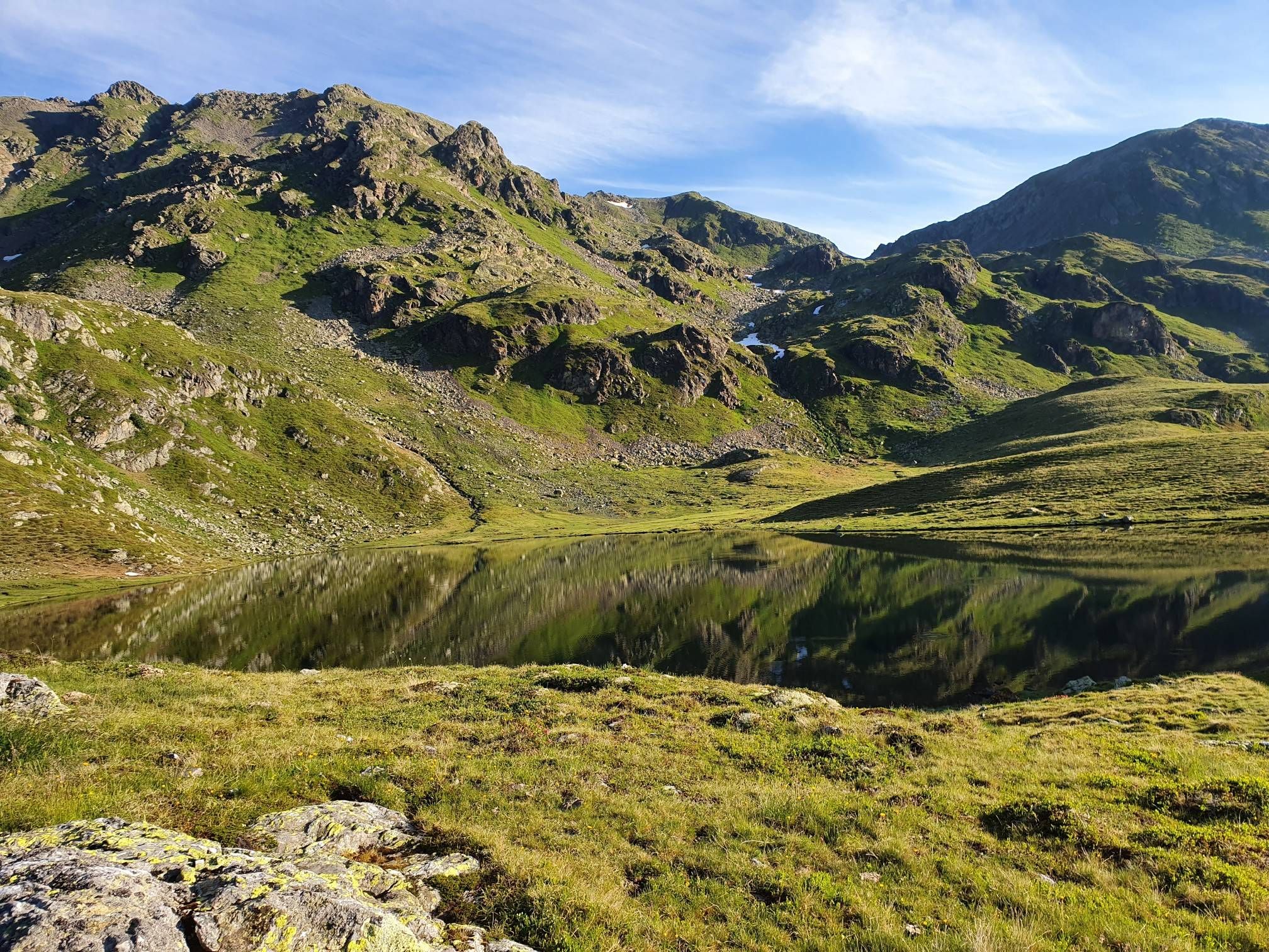
The Kreuzeck Trail — Hike remote paths in the southern Austrian Alps

Alpe-Adria-Trail: My long-distance hike from the glacier to the sea
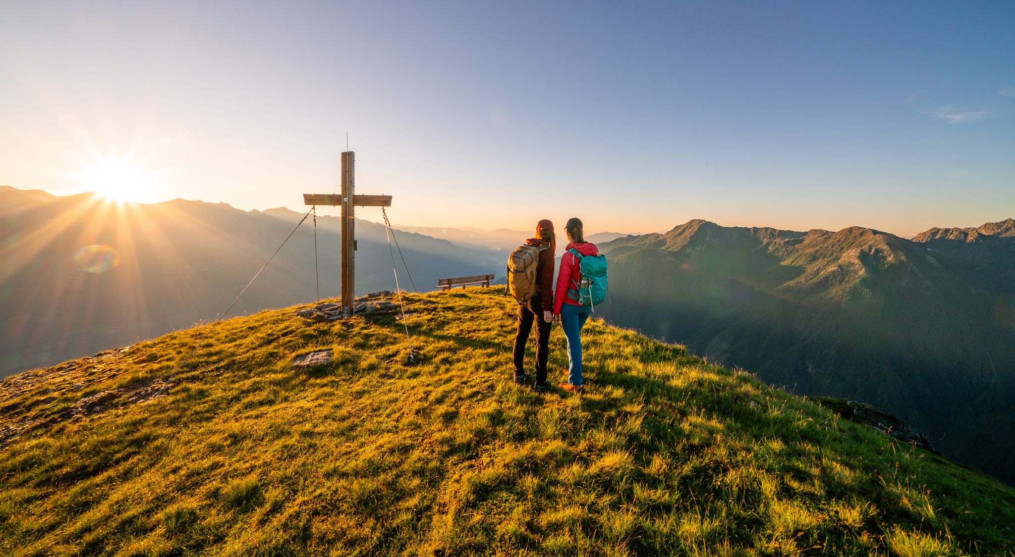
Your time out – long-distance hiking trails in the High Tauern
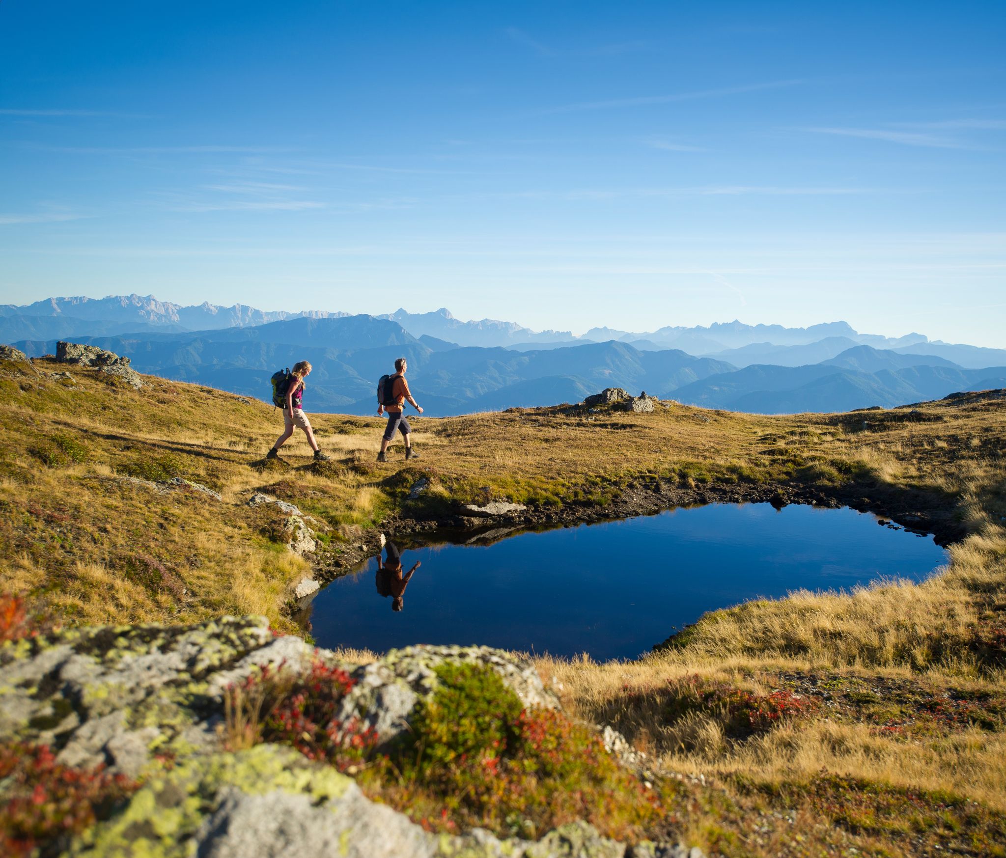
Hiking Without a Footprint on the Alpe-Adria-Trail

From the Grossglockner to the sea on the Alpe Adria Trail
Holy mountains and their stories

Magnificent mountain biking on Austria's alpine pastures
Other adventures around Reißeck


Tips from the Community

always a beautiful view
0
0
seen from the "Herzl" across the pond, always a delight
0
0
great view of the Teuchl
0
0

One can only guess at what remains of the Klinzer Castle... old foundations provide a rough overview. The history of the castle and the Magic Linden Tree is described on iron plaques.
0
0
The Barbarossa Gorge is not directly located at the parking lot. To reach the gorge entrance, you have to cross a wooden bridge and a tunnel.
0
0

We were out at the end of September, where there were many restaurants, cafes, and bars along the bike paths. On this beautiful route, which runs parallel to the Alpe Adria Trail, this cozy ski hut was open. The goulash soup and Kaiserschmarrn (sweet pancakes) were absolutely delicious.
0
0

...almost on the bike path is this hut with excellent food and attentive staff! 😋
1
0
The bike path from Mallnitz to Spittal is well signposted! Some sections require chunkier tires! 🚵♂️ There's plenty of interesting things to see and some great places to stop for a break!
2
0
Frequently Asked Questions
How many bus station hiking trails are available in Reißeck?
There are 12 diverse hiking trails accessible directly from bus stations in the Reißeck region. These routes cater to various skill levels, offering a convenient way to explore the stunning landscapes of Carinthia.
What are the difficulty levels of bus station hikes in Reißeck?
The bus station hikes in Reißeck offer a range of difficulties. You'll find 4 easy routes perfect for a relaxed stroll, 7 moderate trails for those seeking a bit more challenge, and 1 difficult route for experienced hikers looking for a demanding adventure.
What is the best time of year to go hiking from bus stations in Reißeck?
The best seasons for hiking in Reißeck are spring, summer, and autumn. Spring offers blooming alpine meadows, summer provides pleasant temperatures and opportunities to cool off in clear mountain waters, while autumn transforms the landscape with warm, vibrant colors, making it ideal for scenic walks.
Are there any family-friendly bus station hikes in Reißeck?
Yes, there are several family-friendly options. For an easy and scenic walk, consider the Bridge over the Möll – Former Raft Mooring Area loop from Unterkolbnitz. This route is relatively flat and offers beautiful views along the Möll river, suitable for all ages.
Can I bring my dog on these bus station hiking trails?
Many trails in the Reißeck region are dog-friendly, but it's always recommended to keep your dog on a leash, especially in nature protection areas or near grazing livestock. The View of Kolbnitz – Herkuleshof loop from Polan is a moderate option that offers varied terrain suitable for a walk with your canine companion.
Are there circular routes available from bus stations in Reißeck?
Yes, many of the bus station hikes in Reißeck are circular, allowing you to start and end at the same point without needing to retrace your steps. An example is the Zauberlinde at Klinzer Schloss – Bridge over the Möll loop from Polan, which offers a moderate circular experience.
What natural features or landmarks can I see on these bus station hikes?
The Reißeck region, part of the Hohe Tauern National Park, is rich in natural beauty. You can expect to see majestic peaks, deep valleys, dense forests, and crystal-clear streams. Some routes offer views of the Möll and Lieser rivers. While hiking, you might also encounter highlights like the Gmeineck Summit or the Evil Nose, offering spectacular panoramic views.
What kind of views can I expect on bus station hikes in Reißeck?
Hikes in Reißeck offer diverse and stunning views. From lower elevation trails, you'll enjoy picturesque alpine meadows, charming villages like Kolbnitz, and the scenic Möll Valley. Higher routes, such as parts of the View of Kolbnitz – Unterfalkenstein Castle loop from Gappen im Mölltal Bundesstraße, provide expansive panoramas of the surrounding High Tauern ranges, and even glimpses of the Dolomites, Karawanks, and Julian Alps on clear days.
How long do the bus station hikes in Reißeck typically take?
The duration of bus station hikes in Reißeck varies significantly depending on the route's distance and difficulty. Easy walks can take around 2 hours, while moderate trails might range from 3 to 5 hours. More challenging routes, like the View of Kolbnitz – Unterfalkenstein Castle loop, can take over 7 hours to complete.
Where can I find refreshments or accommodation near the bus station trailheads?
The main village of Kolbnitz, where many bus stations are located, offers various options for refreshments and accommodation. You'll find local cafes, restaurants, and guesthouses. For example, after completing the Sandbichl Church – View of Kolbnitz loop from Polan, you'll be close to amenities in Kolbnitz.
What do other hikers say about the bus station trails in Reißeck?
The bus station trails in Reißeck are highly rated by the komoot community, with an average score of 4.6 out of 5 stars from over 1,700 ratings. Hikers often praise the convenience of public transport access, the diverse landscapes, and the well-maintained paths that lead to stunning viewpoints and natural attractions.
Most popular routes around Reißeck
Most popular attractions around Reißeck

Get inspired with the komoot mobile app


Explore more
Browse the best Hikes in other regions.
