The best cycling routes around Reißeck
4.7
(1802)
11,178
riders
13
rides
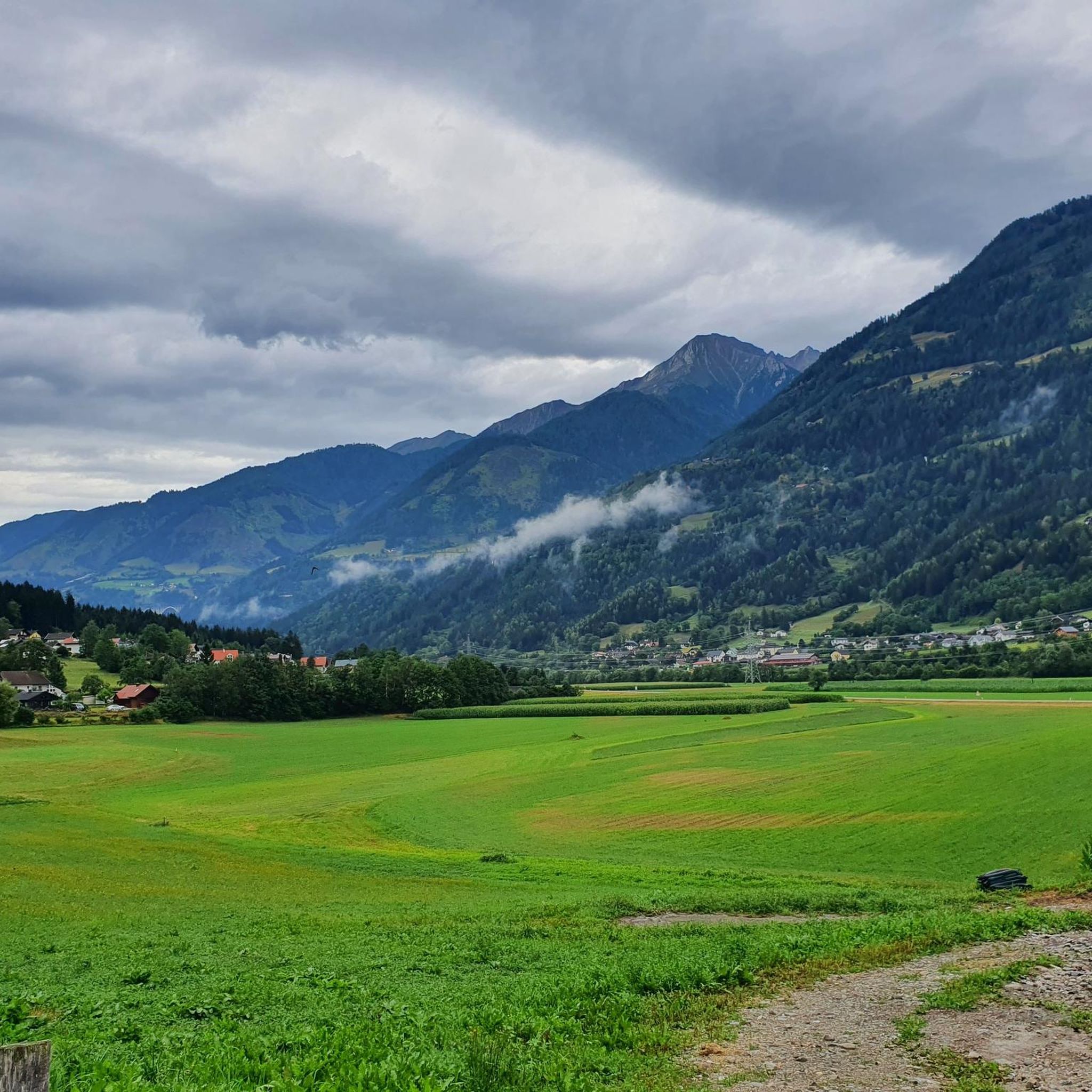
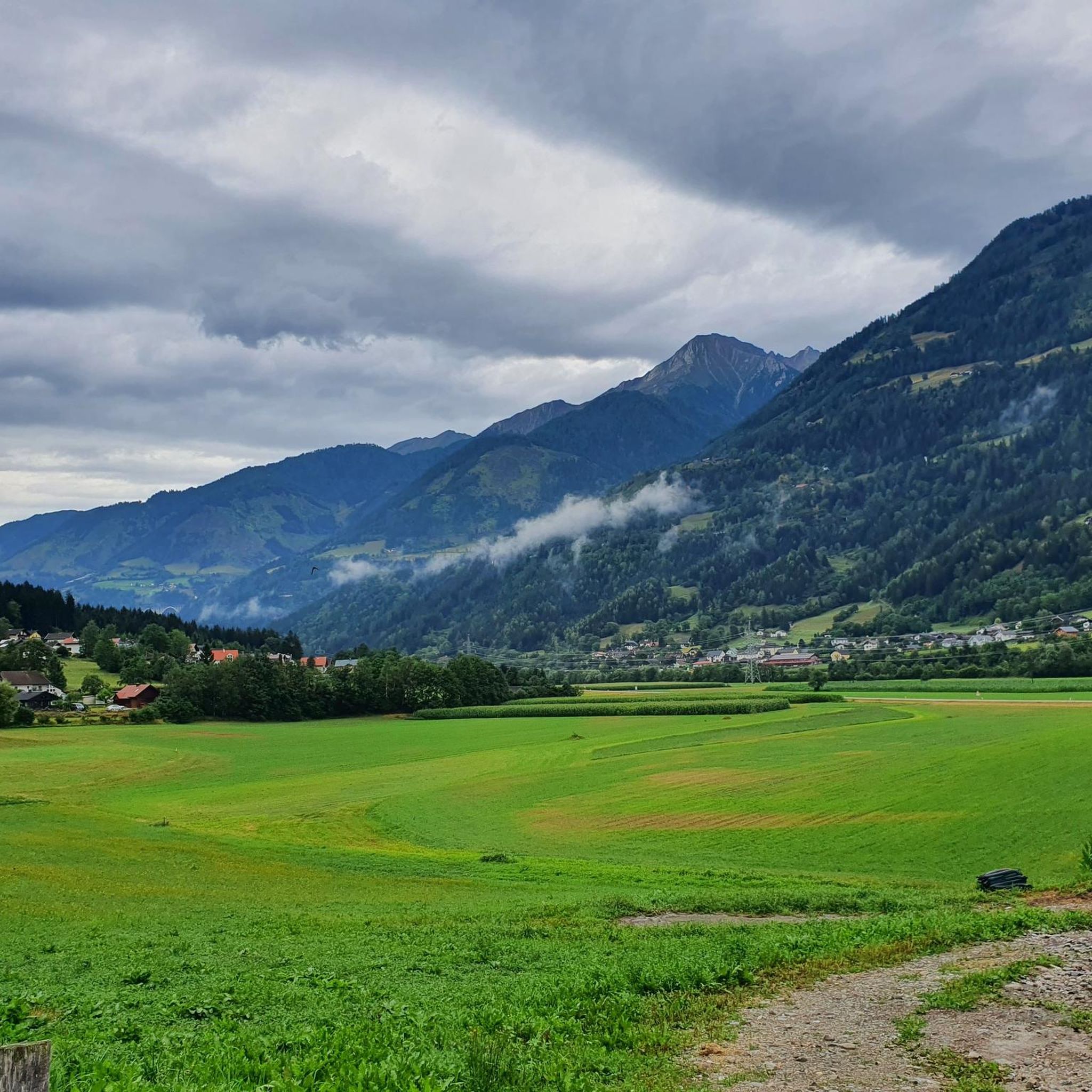
Touring cycling around Reißeck offers routes through diverse alpine scenery within the Hohe Tauern National Park. The region features deep valleys, lush forests, and the Möll and Lieser rivers, alongside several hydropower reservoirs. Elevations range from valley floors to routes with significant climbs, providing varied terrain for cyclists. The landscape is characterized by its natural features, including the Großes Reißeck peak and numerous waterways.
Best touring cycling routes around Reißeck
- The most popular touring cycling route is Mallnitz Village Center…
Last updated: June 25, 2026
4.9
(50)
511
riders
44.9km
03:25
1,090m
1,090m
Hard bike ride. Very good fitness required. Mostly paved surfaces. Suitable for all skill levels.
4.6
(20)
258
riders
Moderate bike ride. Good fitness required. Mostly paved surfaces. Suitable for all skill levels.

Sign up for free
4.9
(8)
204
riders
Hard bike ride. Very good fitness required. Mostly paved surfaces. Suitable for all skill levels.
4.7
(23)
181
riders
30.8km
02:00
380m
380m
Moderate bike ride. Good fitness required. Mostly paved surfaces. Suitable for all skill levels.
4.5
(17)
127
riders
48.6km
03:08
450m
450m
Moderate bike ride. Good fitness required. Mostly paved surfaces. Suitable for all skill levels.
Get access to more routes and recommendations from other explorers.
Sign up for free
Already have an account?
Our route recommendations are based on thousands of hikes, rides, and runs completed by other people on komoot.
Start today with a free account
Your next adventure awaits.
Login or Signup
Popular around Reißeck
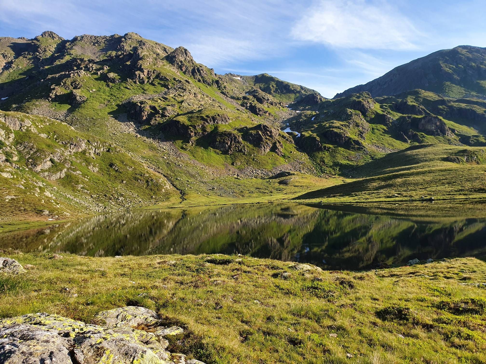
The Kreuzeck Trail — Hike remote paths in the southern Austrian Alps

Alpe-Adria-Trail: My long-distance hike from the glacier to the sea
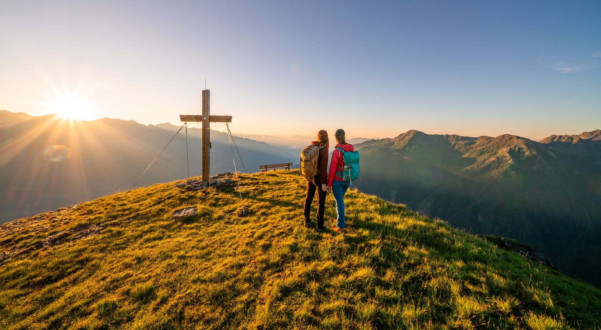
Your time out – long-distance hiking trails in the High Tauern

Magnificent mountain biking on Austria's alpine pastures
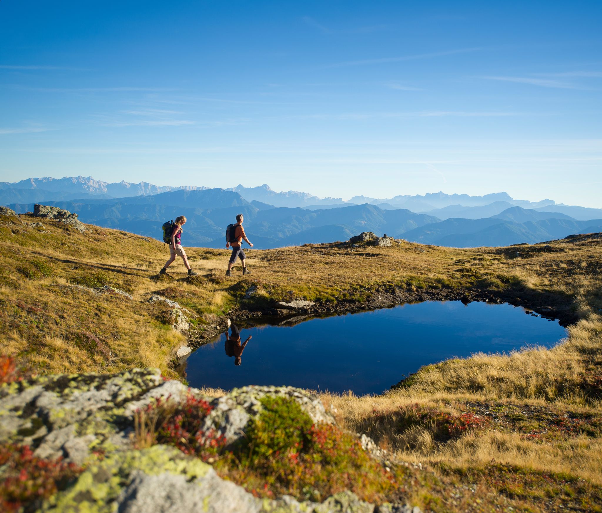
Hiking Without a Footprint on the Alpe-Adria-Trail

From the Grossglockner to the sea on the Alpe Adria Trail
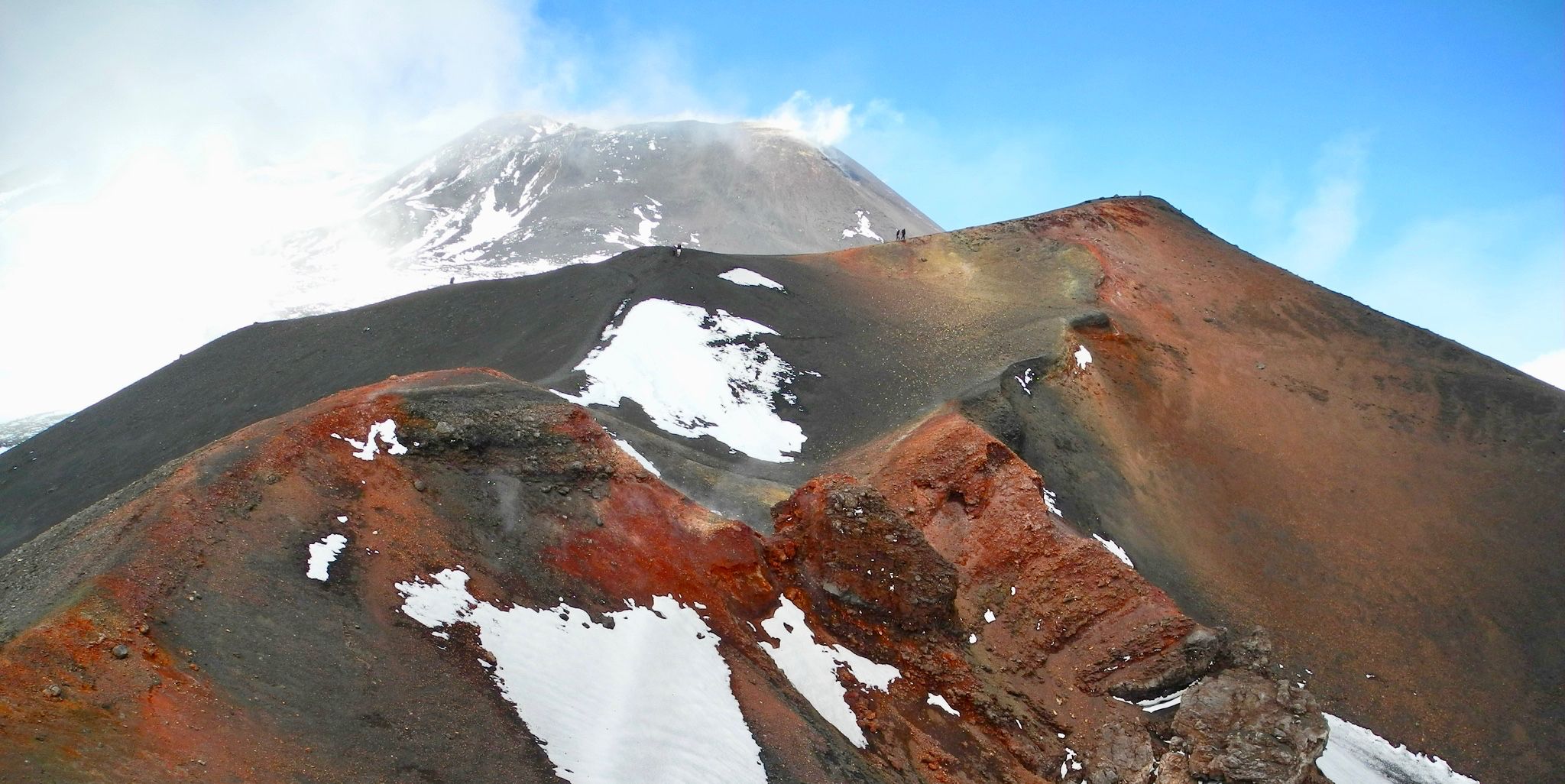
Holy mountains and their stories
Hiking around Reißeck
Road Cycling Routes around Reißeck
MTB Trails around Reißeck
Other adventures around Reißeck


Tips from the Community

…a nice little place with a pretty center 👀
2
0
The bike path from Mallnitz to Spittal is well signposted! Some sections require chunkier tires! 🚵♂️ There's plenty of interesting things to see and some great places to stop for a break!
2
0
The bike path from Mallnitz to Spittal is well signposted! Some sections require chunkier tires! 🚵♂️ There's plenty of interesting things to see and some great places to stop for a break!
2
0
The bike path from Mallnitz to Möllbrücke is well signposted! Some sections require chunkier tires! 🚵♂️
2
0

Craziness
0
0

The Möll, the main river of the valley, which rises above Heiligenblut!
0
0

Very well organized and not expensive either.
0
0

The route along the old railway line is now open again! Highly recommended – pay attention to the signs!
0
1
Frequently Asked Questions
How many touring cycling routes are available in Reißeck?
Reißeck offers a diverse selection of touring cycling routes, with a total of 13 routes documented on komoot. These routes cater to various skill levels, including 6 moderate and 7 difficult options, ensuring there's a suitable ride for most cyclists.
Are there family-friendly touring cycling routes in Reißeck?
Yes, the Reißeck region, particularly along the Mölltal and Drau Cycle Paths, features sections that are well-suited for families. These paths often offer relatively flat terrain and scenic views, making them enjoyable for all ages. While specific family-friendly routes are not highlighted in the guide data, the general nature of these major cycle paths provides excellent options for family outings.
Can I bring my dog on the touring cycling trails in Reißeck?
Generally, dogs are welcome on many outdoor trails in the Reißeck region, especially on designated cycle paths like the Mölltal Cycle Path. However, it's always advisable to keep dogs on a leash, especially in nature protection areas or near livestock. Always check local regulations for specific routes or national park areas within the Hohe Tauern National Park to ensure compliance.
What natural features or landmarks can I see while cycling in Reißeck?
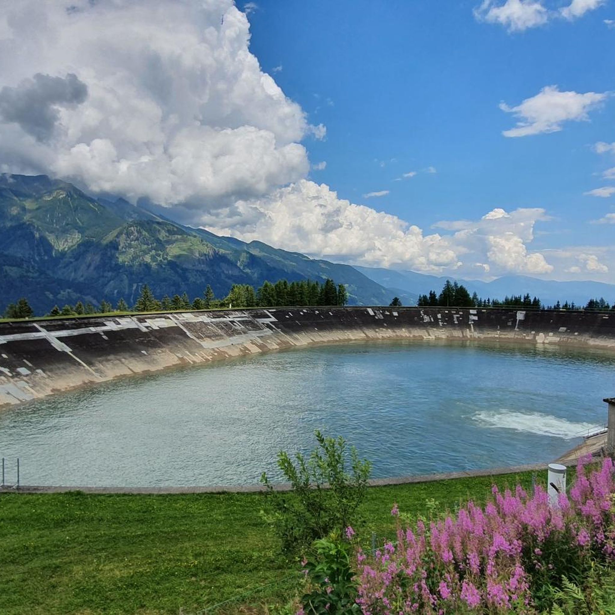
The Reißeck area is rich in natural beauty and landmarks. You can encounter impressive hydropower reservoirs like Großer Mühldorfer See and Hochalmsee, and the dramatic Ragga gorge and waterfalls or the stunning Groppenstein Waterfall. Some routes also offer views of historic sites such as Falkenstein Castle. The Möll and Lieser rivers provide picturesque backdrops throughout the region.
Are there any circular touring cycling routes in the Reißeck area?
Yes, several routes in Reißeck are designed as loops, offering a complete circular journey. For instance, the Mallnitz Village Center – View of the Möll Valley loop from Kolbnitz is a challenging 27.9-mile (44.9 km) route, while the Möll River Near Oberkolbnitz – Wooden Bridge Over the Möll loop from Gappen im Mölltal Bundesstraße offers a moderate 16.7-mile (26.9 km) circular path along the Möll River.
What is the best time of year for touring cycling in Reißeck?
The best time for touring cycling in Reißeck is typically from late spring to early autumn (May to October). During these months, the weather is generally mild, and the alpine paths are clear of snow. Summer offers lush landscapes, while spring and autumn provide cooler temperatures and vibrant foliage. Always check local weather forecasts before heading out, especially for higher elevation routes.
What are the options for parking when cycling in Reißeck?
Parking is generally available in the villages and towns that serve as starting points for touring cycling routes in Reißeck, such as Kolbnitz or Gappen im Mölltal. Many trailheads, especially those connected to popular cycle paths like the Mölltal Cycle Path, offer designated parking areas. It's advisable to look for specific parking information for your chosen route's starting point.
Is public transport available to access touring cycling routes in Reißeck?
Yes, public transport options, including buses and trains, can be utilized to access various touring cycling routes in the Reißeck region. The Drau Cycle Path, for example, is known for its excellent connections with train travel, allowing cyclists to combine riding with convenient transport. This can be particularly useful for longer routes or for returning to your starting point.
Where can I find bike rentals in the Reißeck region?
Bike rental services are available in the broader Mölltal and Drau valleys, which are easily accessible from Reißeck. While specific rental shops in Kolbnitz or Penk are not detailed, larger towns in the vicinity, such as Greifenburg (along the Drau Cycle Path), often have rental facilities. It's recommended to search for 'Fahrradverleih' (bike rental) in nearby towns for current options.
What do other cyclists say about their experience touring cycling in Reißeck?
The touring cycling experience in Reißeck is highly regarded by the komoot community, with an impressive average rating of 4.8 out of 5 stars from over 1745 reviews. Cyclists frequently praise the region's diverse alpine scenery, the well-maintained river paths, and the variety of routes that cater to different fitness levels, from gentle valley rides to more challenging ascents.
Are there any routes that follow the Möll River?
Absolutely. The Möll River is a central feature of the Reißeck cycling landscape. The Möll River Near Oberkolbnitz – Wooden Bridge Over the Möll loop from Gappen im Mölltal Bundesstraße is a moderate 16.7-mile (26.9 km) path that directly follows the river, offering serene views. Additionally, the renowned Mölltal Cycle Path (R8) traverses the valley, providing numerous opportunities to cycle alongside the Möll River.
What kind of terrain can I expect on touring cycling routes in Reißeck?
The terrain in Reißeck is quite varied, ranging from relatively flat sections along river valleys to significant climbs in alpine areas. You'll find smooth, paved surfaces on major cycle paths like the Mölltal and Alpe-Adria routes, as well as gravel paths and more challenging ascents with steeper gradients on routes like the Mallnitz Village Center – View of the Möll Valley loop from Kolbnitz, which features over 1000 meters of elevation gain.
Most popular routes around Reißeck
Most popular attractions around Reißeck

Get inspired with the komoot mobile app


Explore more
Browse the best Cycling routes in other regions.
