The best walks and hikes around Storrington And Sullington
4.6
(330)
1,368
hikers
63
hikes
Hikes around Storrington and Sullington explore the varied landscapes of the South Downs National Park. The region is characterized by rolling hills, open meadows, and sections of woodland. Gentle climbs to hills like Kithurst Hill and Sullington Hill provide expansive views over the surrounding countryside. The area's trails follow a mix of footpaths and bridleways, including parts of the South Downs Way.
Best hiking trails around Storrington And Sullington
- The most popular hiking route is the Kithurst & Chantry Hill loop — South Downs National Park, a 4.2 mile (6.8 km) trail that takes about 1 hour 55 minutes to complete. This route features a gentle climb and offers views across the national park.
- Another top favourite among local hiking enthusiasts is the Sullington & Harrow Hill loop — South Downs National Park, a moderate 8.7 mile (14.0 km) path. The terrain includes ascents to Sullington Hill, which is just under 200 meters in elevation.
- Local hiking enthusiasts also love the Kithurst Hill and Amberley loop from Storrington — South Downs National Park, a 11.8 mile (19.1 km) trail leading through the countryside, often completed in about 5 hours 15 minutes.
- Hiking around Storrington and Sullington is defined by rolling chalk downlands, patches of ancient woodland, and open heathland like Sullington Warren. The network of paths provides routes suitable for different fitness levels, from easy circular walks to more difficult sections of long-distance trails.
- The routes in Storrington and Sullington are highly rated by the komoot community with an average score of 4.8 stars from over 200 reviews. More than 700 hikers have used komoot to explore Storrington and Sullington's varied terrain.
Last updated: August 17, 2026
4.7
(64)
158
hikers
6.84km
01:54
130m
130m
Embark on the Kithurst & Chantry Hill loop, an easy hike that guides you through the varied landscapes of the South Downs National Park. You will traverse chalk, gravel paths, and grassy fields, enjoying magnificent panoramic views across rolling hills that often stretch out to the sea. Keep an eye out for the Kithurst Hill Trig Point, a specific landmark offering expansive vistas along this 4.3-mile (6.8 km) route, which includes 418 feet (127 metres) of elevation gain and takes about 1 hour and 54 minutes to complete.
When planning your visit, you can typically find parking at Kithurst Hill car park or Chantry Post car park, often without charge. While the trail is rated easy, be prepared for some sections that can become muddy after rain, so appropriate footwear is a good idea. You should also expect uneven surfaces, particularly on the uphill and downhill parts of the path.
This loop offers a wonderful chance to experience the natural beauty of the South Downs, with sections winding through woodlands and open fields where you might spot grazing sheep. The route's diverse terrain and consistent views make it a rewarding option for a relatively quick outdoor adventure in this scenic national park.
5.0
(11)
46
hikers
19.1km
05:13
290m
290m
Embark on a challenging hiking adventure with the West Sussex Literary Trail and South Downs Way Loop. This difficult route spans 11.8 miles (19.1 km), taking you through rolling chalk hills and ancient woodlands, with a total elevation gain of 941 feet (287 metres). You can expect to spend around 5 hours and 12 minutes traversing the diverse landscape, including panoramic views from the Kithurst Hill Trig Point.
When planning your visit, be aware that while many sections of these trails are generally firm, some areas can become muddy, especially during winter and early spring. Make sure to prepare accordingly with appropriate footwear. Parking is conveniently available at locations such as Kithurst Hill Car Park, providing easy access to the start of your hike. You will also find picturesque villages along the way, offering natural stopping points for refreshments or a well-deserved rest.
This loop uniquely combines two well-known paths, the West Sussex Literary Trail and the South Downs Way, offering a rich experience within the South Downs National Park. As you hike, you will pass through areas steeped in natural beauty and historical significance, making it a rewarding journey for those who appreciate both challenging terrain and scenic exploration. It's a great way to experience the heart of this protected landscape.

Sign up for free
4.0
(1)
7
hikers
14.0km
03:48
200m
200m
Hike the moderate 8.7-mile Sullington & Harrow Hill loop in South Downs National Park, featuring chalk downlands, ancient woodlands, and pan
4.6
(11)
35
hikers
Moderate hike. Good fitness required. Easily-accessible paths. Suitable for all skill levels.
4.4
(7)
14
hikers
Moderate hike. Good fitness required. Easily-accessible paths. Suitable for all skill levels.
Get access to more routes and recommendations from other explorers.
Sign up for free
Already have an account?
Our route recommendations are based on thousands of hikes, rides, and runs completed by other people on komoot.
Start today with a free account
Your next adventure awaits.
Login or Signup
Popular around Storrington And Sullington
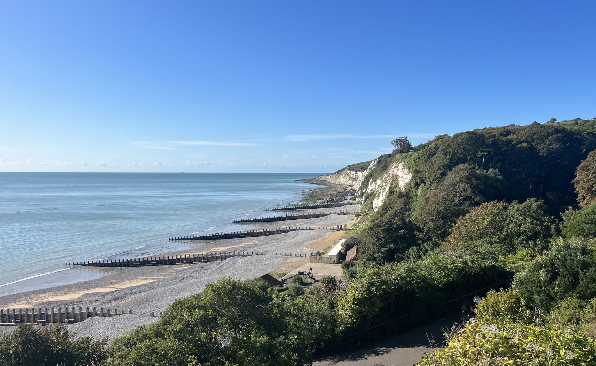
South Downs National Park – A Walk in the Parks
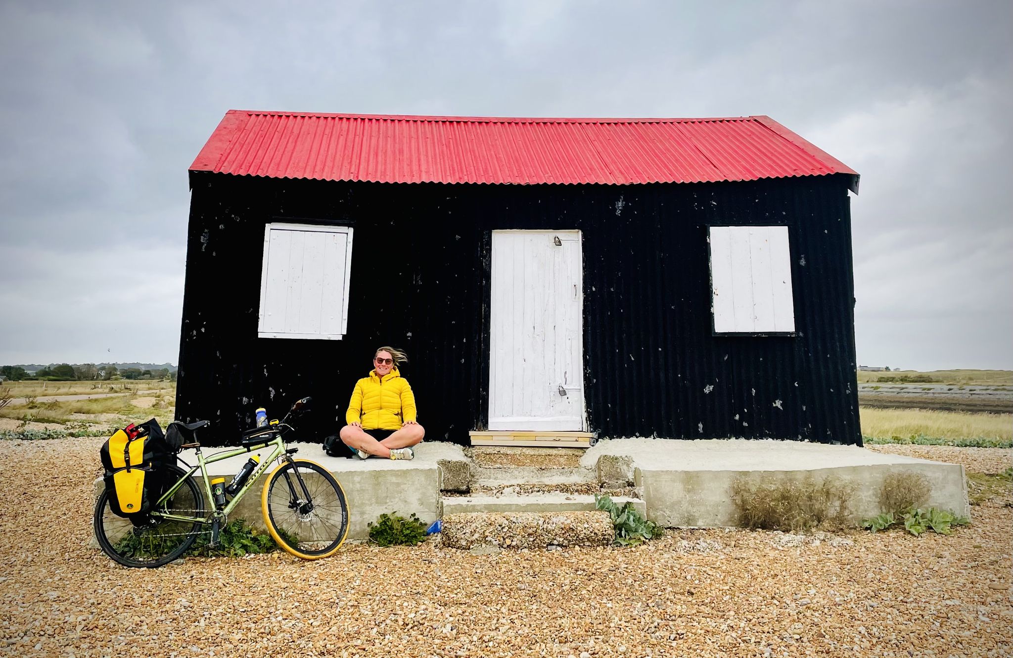
Sussex 1000 — A bikepacking adventure from Hammer to Camber
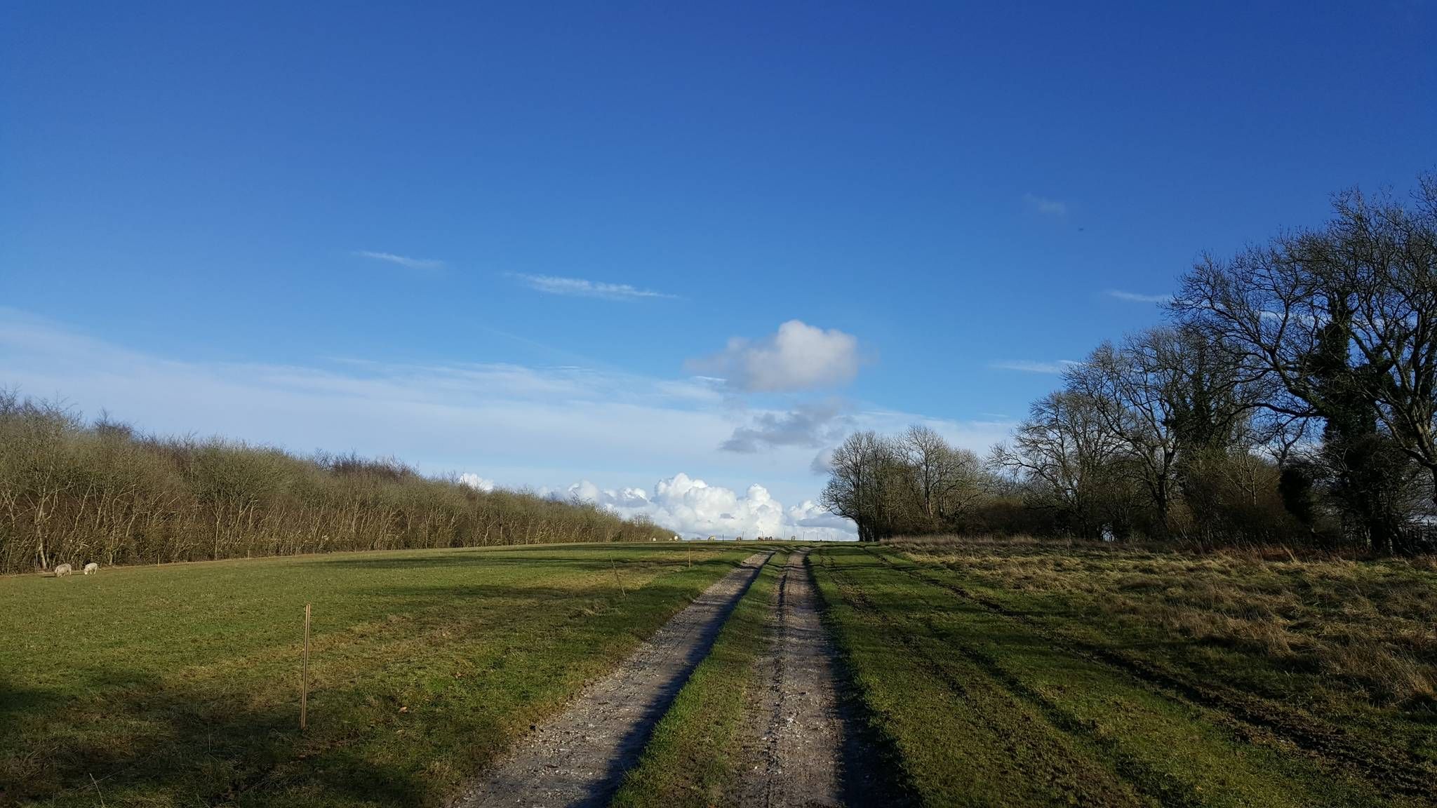
The hill seeker's chalky white dream — South Downs 300
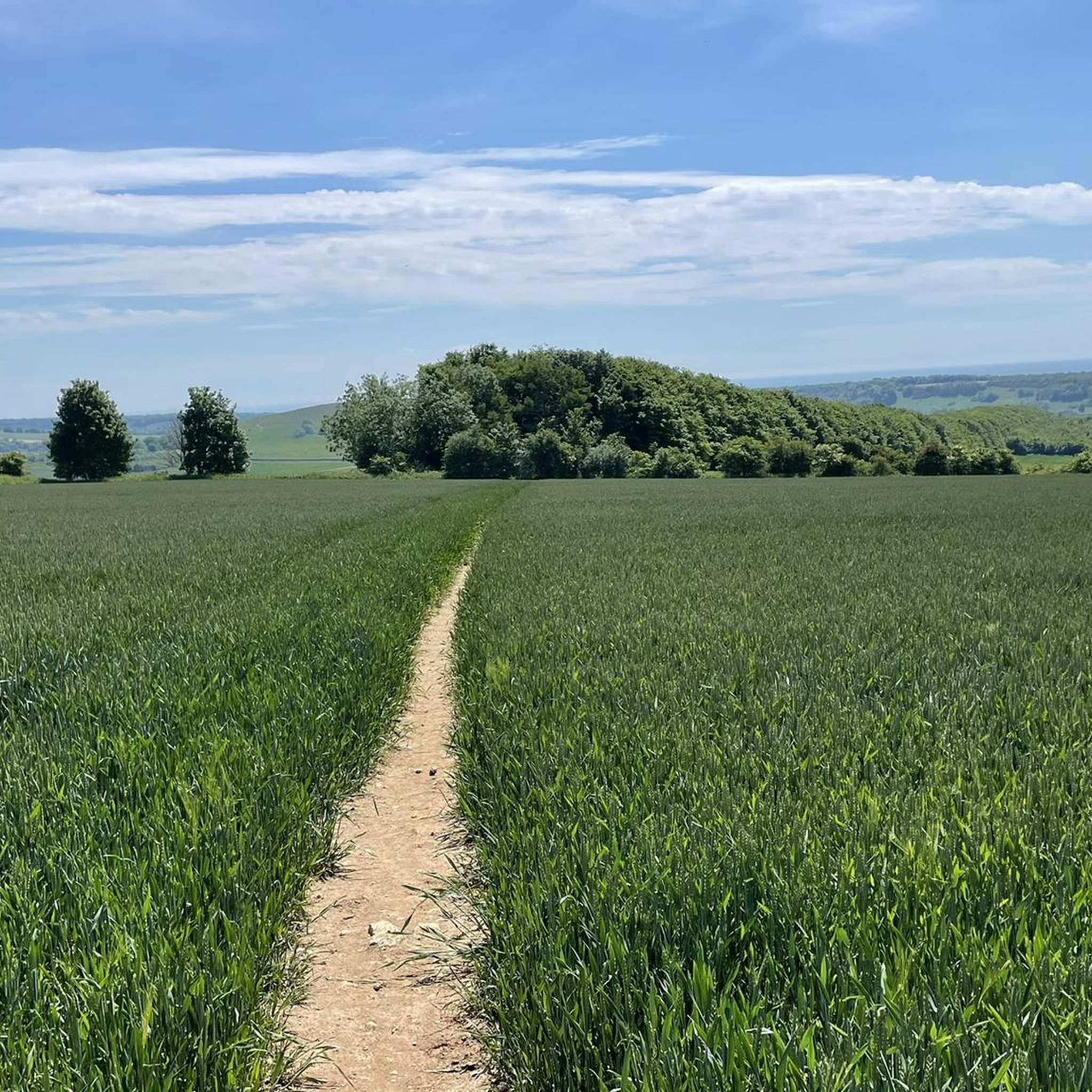
Running Trails around Storrington And Sullington
Road Cycling Routes around Storrington And Sullington
Cycling around Storrington And Sullington
MTB Trails around Storrington And Sullington

Gravel biking around Storrington And Sullington
Other adventures around Storrington And Sullington


Tips from the Community


Great walk but incredibly muddy and wet in the winter so make sure you're prepared for that or wait till the summer!
0
0


Beautiful part of the South Downs with great views.
0
0
Chantry Hill is adjacent to Kithurst Hill and provides another route to this accessible trig point. The paths and wide open views down over the South Downs are stunning.
0
0
Yet another trig point to do on the South Downs Way. Well, not quite as Kithurst Hill is slightly north of the official trail, but worth the dog leg to it just to get another trig.
0
0

The Downs are excellent for cycling and walking not always for the faint hearted.
0
0

Frequently Asked Questions
Are there many circular walks available around Storrington and Sullington?
Yes, many of the trails in the area are circular, allowing you to start and end at the same point without retracing your steps. These loops vary in length and difficulty, taking you through the diverse landscapes of the South Downs. A great example of a moderate circular route is the View from Rackham Hill summit – View Across the South Downs loop from Parham Park, which offers fantastic views.
What are some easy, family-friendly walks in the area?
The region has a good selection of easier trails suitable for families. These routes generally have minimal elevation and are shorter in length. For a straightforward and enjoyable outing, consider the Kithurst & Chantry Hill loop. It's a relatively short walk with gentle climbs, offering rewarding views without being too strenuous for younger hikers.
Can I take my dog on the hiking trails?
Most trails around Storrington and Sullington are dog-friendly, but it's always best to keep them on a lead, especially near farmland with livestock. The woodlands and open spaces of Sullington Warren and the adjacent National Trust Warren Hill are particularly popular with local dog walkers. Remember to be mindful of wildlife and other walkers.
Where can I find the best viewpoints?
For panoramic views across the South Downs, head up to the summits of the local hills. Kithurst Hill and Sullington Hill are two key highlights that reward a bit of a climb with expansive vistas. On a clear day, you can see for miles. The View Across the South Downs – View from Rackham Hill summit loop from Storrington is specifically known for its excellent viewpoints.
What is the terrain like on the walks?
The terrain is quite varied. You'll encounter rolling chalk downlands, well-trodden footpaths, some sections of ancient woodland, and open heathland. While many paths are gentle, some routes, like the Sullington & Harrow Hill loop, include ascents to hills just under 200 meters, so expect some moderate climbs.
Are there any walks that feature historical sites?
Yes, the area is rich in history. Many trails pass near significant landmarks. A longer, more challenging hike like the Kithurst Hill and Amberley loop from Storrington takes you through countryside steeped in history. You can also plan routes to include sites like Chanctonbury Ring, an ancient hillfort famous for its beech trees and legends.
How can I access the South Downs Way from Storrington?
Storrington is conveniently located near the midpoint of the South Downs Way, making it an excellent base for exploring sections of this famous 100-mile national trail. Several local footpaths and bridleways connect directly to the main trail, allowing you to hike a portion of it as part of a day walk.
What should I know about walking through Sullington Warren?
Sullington Warren is a beautiful 60-acre area of heathland and woodland managed by the National Trust. The paths here are generally easy to follow, taking you through a mix of open heath with heather and patches of woodland. It's a protected area, so it's important to stick to the marked paths to preserve the fragile ecosystem, which is home to rare plants and wildlife.
Where is a good place to park for walks around Sullington?
There is a car park at National Trust Warren Hill, located off Georges Lane, which provides good access to Sullington Warren and the surrounding network of footpaths. It's a popular starting point for many local walks. Be aware that the lane leading to it can be uneven, so it's best to drive slowly.
Are there any pubs or cafes on the walking routes?
While most routes are through natural landscapes, the villages of Storrington and Sullington offer welcoming pubs and cafes for a rest after your hike. You can easily plan a circular walk to start and end in one of the villages. The café at Sullington Manor Farm is a well-regarded spot located conveniently close to several trails.
How many hiking trails are there around Storrington and Sullington?
There are over 60 hiking routes to explore in the area. These range from 22 easy trails perfect for a gentle stroll to 7 difficult hikes for those seeking a full-day challenge, with plenty of moderate options in between.
What do other hikers think of the trails in this area?
The hikes around Storrington and Sullington are highly rated by the komoot community, with an average score of 4.8 stars. Hikers often praise the stunning panoramic views from the hilltops and the variety of landscapes, from open downland to peaceful woodland.
Most popular routes around Storrington And Sullington
Most popular attractions around Storrington And Sullington

Get inspired with the komoot mobile app


Explore more
Browse the best Hikes in other regions.
