The best hikes from bus stations around Storrington And Sullington
4.6
(334)
1,376
hikers
21
hikes
Hiking around Storrington And Sullington offers diverse landscapes within the South Downs National Park. The area features rolling hills, chalk downlands, and ancient woodlands, alongside open heathland such as Sullington Warren. Topography includes low ridges and shallow valleys, with elevated points like Kithurst Hill and Sullington Hill providing views. The nearby River Arun also contributes to the scenic variety for bus station hiking trails.
Best bus station hiking trails around Storrington And Sullington
- The most popular bus station hiking route…
Last updated: October 4, 2026
4.6
(11)
35
hikers
Moderate hike. Good fitness required. Easily-accessible paths. Suitable for all skill levels.
4.0
(5)
23
hikers
12.2km
03:22
200m
200m
Moderate hike. Good fitness required. Easily-accessible paths. Suitable for all skill levels.

6
hikers
Hard hike. Very good fitness required. Easily-accessible paths. Suitable for all skill levels.
5.0
(2)
14
hikers
Easy hike. Great for any fitness level. Easily-accessible paths. Suitable for all skill levels.
5.0
(1)
11
hikers
5.67km
01:42
170m
170m
Easy hike. Great for any fitness level. Easily-accessible paths. Suitable for all skill levels.
Get access to more routes and recommendations from other explorers.
Already have an account?
Our route recommendations are based on thousands of hikes, rides, and runs completed by other people on komoot.
Start today with a free account
Your next adventure awaits.
Popular around Storrington And Sullington
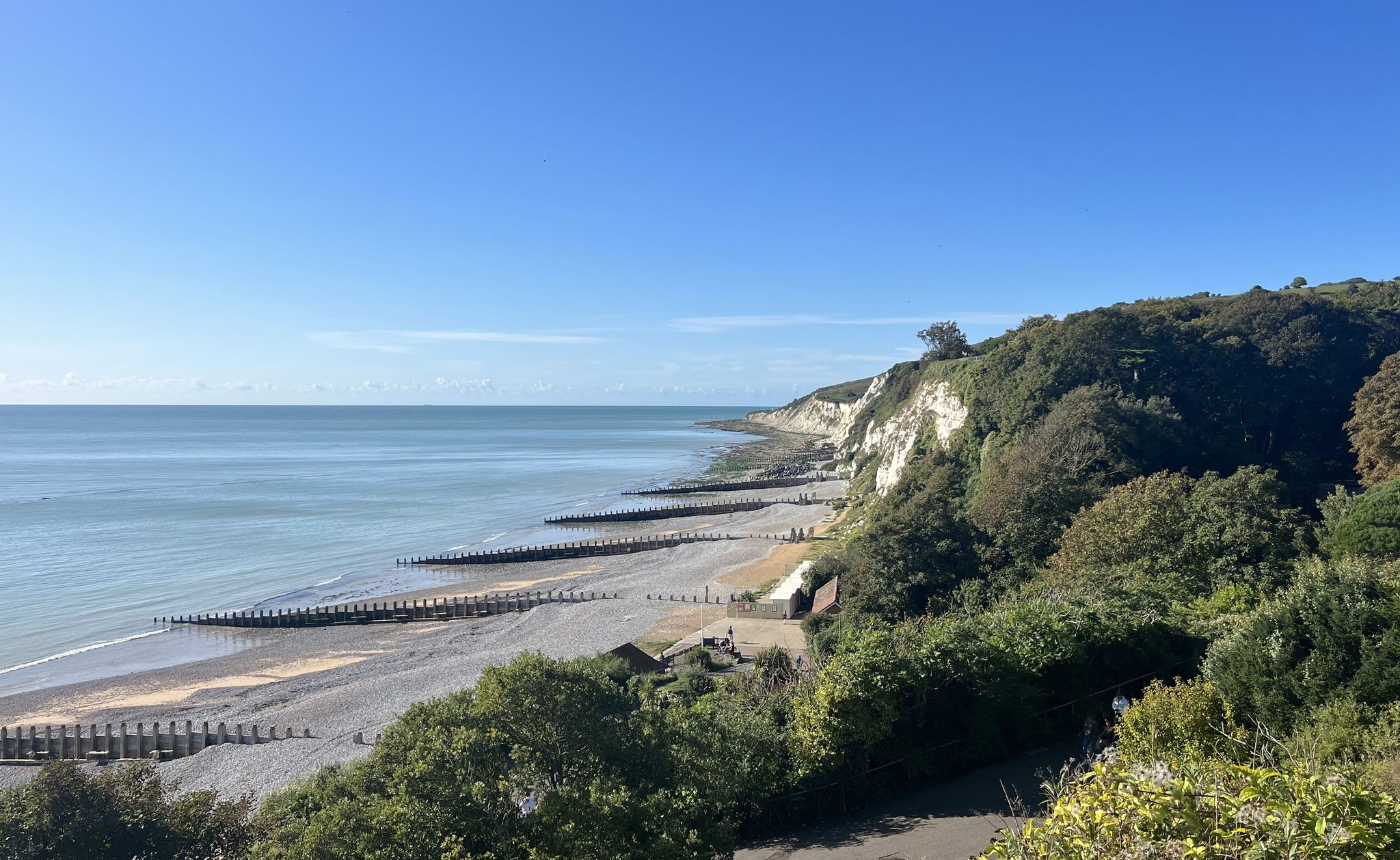
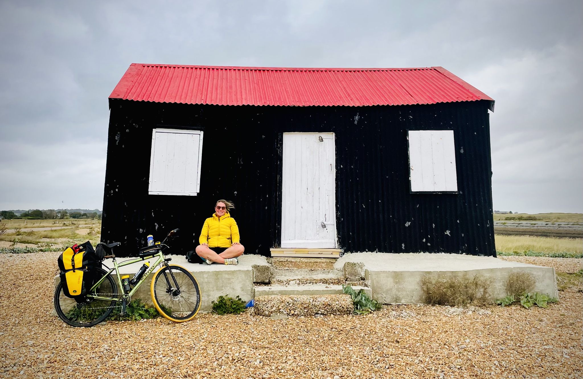
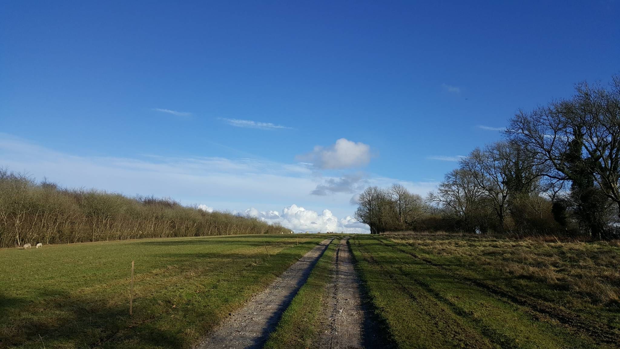
Other adventures around Storrington And Sullington


Tips from the Community

Unfortunately there is no lake visible anymore, only diggers!
0
0


Good shelter all year round after demanding climb. please keep it clean and don't leave waste so the farmer keeps it open for everyone.
0
0

Great walk but incredibly muddy and wet in the winter so make sure you're prepared for that or wait till the summer!
0
0

Coffee shop at Storrington bike shop 👌
0
0

Frequently Asked Questions
How many bus station hiking trails are available in Storrington And Sullington?
There are over 20 bus station hiking trails in Storrington And Sullington, offering a variety of options for different skill levels. This includes 5 easy routes, 13 moderate routes, and 3 difficult routes.
What kind of terrain can I expect on bus-accessible hikes in this area?
The bus-accessible trails in Storrington And Sullington, nestled within the South Downs National Park, feature diverse terrain. You can expect rolling chalk downlands, ancient woodlands, and open heathland like Sullington Warren. Some routes include gentle climbs to elevated points such as Kithurst Hill and Sullington Hill, offering expansive views. Paths can vary from well-maintained tracks to more rugged sections, especially on longer routes.
Are there easy bus-accessible walks suitable for beginners or families?
Yes, there are several easy bus-accessible walks perfect for beginners or families. One popular option is the Woodland Path with Daffodils – Reflective Pond loop from Storrington, which is just under 6 km long with minimal elevation gain. Another easy route is the View from Kithurst Hill – Kithurst Hill Trig Point loop from Storrington, offering great views with a manageable distance.
Can I find longer, more challenging hikes accessible by bus?
Absolutely. For those seeking a challenge, the Kithurst Hill Trig Point – Chanctonbury Ring hillfort loop from Storrington is a difficult 27 km route with over 500 meters of elevation gain, offering comprehensive exploration of the countryside and views of the ancient Chanctonbury Ring. Moderate options include the View Across the South Downs – View from Rackham Hill summit loop from Storrington, which is over 15 km long.
Are there any circular routes starting from bus stops?
Many of the bus-accessible trails in Storrington And Sullington are circular, allowing you to return to your starting point without retracing your steps. Examples include the Kithurst Hill Trig Point – Chantry Hill loop from Storrington and the Woodland Path with Daffodils – Reflective Pond loop from Storrington, both designed as loops for convenience.
Can I bring my dog on these bus-accessible trails?
Many trails in the South Downs National Park are dog-friendly, but it's always best to keep dogs on a lead, especially near livestock or in areas with ground-nesting birds. Always check local signage for specific restrictions. The varied landscapes, from woodlands to open downland, offer great opportunities for walks with your canine companion.
Are there any waterfalls or unique natural features to see on these routes?
Yes, the region boasts unique natural features. You can find a small, historic waterfall in Chantry Lane, which once powered a fulling mill. Additionally, areas like Sullington Warren offer open heathland, and the River Arun flows nearby, providing scenic riverside walking opportunities.
What viewpoints or landmarks can I expect to see on bus-accessible hikes?
Hikers can enjoy expansive views from elevated points like Kithurst Hill and Sullington Hill, stretching across the South Downs, the Sussex coast, and even the Isle of Wight on clear days. Notable landmarks include the ancient Chanctonbury Ring hillfort, visible on routes like the Kithurst Hill Trig Point – Chanctonbury Ring hillfort loop from Storrington. While not directly on bus routes, other significant sites in the wider area include Cissbury Ring and Hiorne Tower.
What historical sites or attractions are near the bus station hiking trails?
While hiking from bus stations, you can explore the rich history of the area. Nearby historical attractions include the Bramber Castle Ruins and the impressive Gatehouse at Arundel Castle. These sites offer a glimpse into the region's past and can be combined with a hike for a full day out.
Are there any pubs or cafes near the bus station trails?
Storrington and Sullington offer various amenities. After your hike, you can find pubs and cafes in Storrington village, which is a central hub for many bus routes. These establishments provide a convenient spot for refreshments and a meal.
What do other hikers say about the bus station trails in Storrington And Sullington?
The bus station trails in Storrington And Sullington are highly rated by the komoot community, with an average score of 4.7 out of 5 stars. Reviewers often praise the stunning panoramic views from the hilltops, the variety of terrain, and the peaceful atmosphere of the South Downs National Park.
Can I access sections of long-distance trails from Storrington bus stops?
Yes, Storrington is conveniently located at the mid-point of the renowned South Downs Way, a long-distance trail. This makes it an excellent base for accessing and exploring sections of this iconic route directly from bus stops, allowing for varied day hikes along the Downs.
Most popular routes around Storrington And Sullington
Most popular attractions around Storrington And Sullington

Get inspired with the komoot mobile app


Explore more
Browse the best Hikes in other regions.
