The best road cycling routes around Throckmorton
4.6
(147)
3,143
riders
215
rides
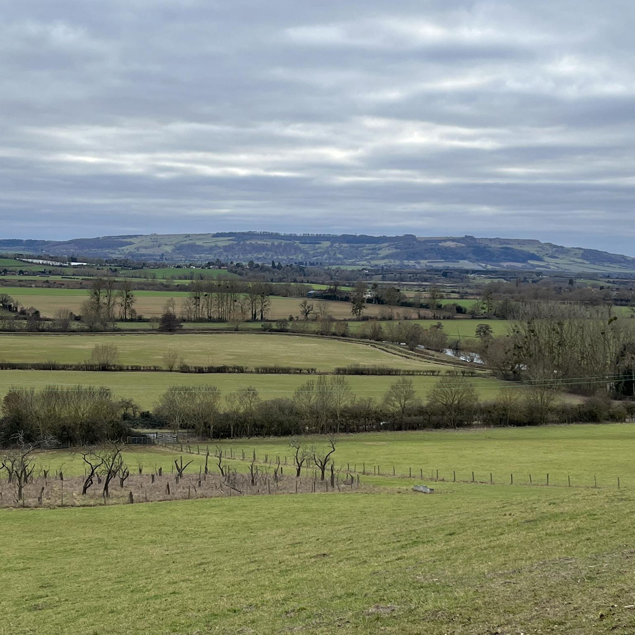
Road cycling routes around Throckmorton are situated in a rural setting characterized by rolling plains and open landscapes. The area features elevations ranging from 1,200 to 1,800 feet above sea level, with prominent hills in the southwestern parts of the county. The landscape includes the Clear Fork and Salt Fork of the Brazos River, contributing to the natural scenery. This region offers varied terrain for road cyclists.
Best road cycling routes around Throckmorton
- The most popular road cycling route is…
Last updated: October 11, 2026
4.7
(6)
86
riders
41.4km
01:47
230m
230m
Easy road ride. Great for any fitness level. Mostly well-paved surfaces and easy to ride.
4.7
(3)
55
riders
55.7km
02:29
430m
430m
Moderate road ride. Good fitness required. Mostly well-paved surfaces and easy to ride.

4.0
(1)
36
riders
42.8km
01:56
230m
230m
Easy road ride. Great for any fitness level. Mostly well-paved surfaces and easy to ride.
38
riders
79.1km
03:47
560m
560m
Moderate road ride. Good fitness required. Mostly well-paved surfaces and easy to ride.
24
riders
44.1km
01:55
220m
220m
Easy road ride. Great for any fitness level. Mostly well-paved surfaces and easy to ride.
Get access to more routes and recommendations from other explorers.
Already have an account?
Our route recommendations are based on thousands of hikes, rides, and runs completed by other people on komoot.
Start today with a free account
Your next adventure awaits.
Tips from the Community

The Stock Green to Himbleton lane is a delight, lovely road and usually very quiet.
0
0
Shell Ford is both picturesque and notorious. It gets very deep during floods and countless motorists have drowned their cars here over the years. The old Packhorse bridge is the best way to get across on foot or with a bike as the ford itself gets very slippery.
0
0
Wonderful house and gardens, which were designed by Capability Brown. I love this place in the evening when the crowds have gone home.
0
0
Lovely old Sandstone bridge that is so narrow it is single track only and so is controlled by traffic lights. Note there is a small car park on the Eckington side that can get full very quickly, some folk have taken to parking on the road partially blocking it - it is illegal to park on the road here due to the double white lines.
0
0
These two windblown trees stand in isolation with the view of Bredon Hill beyond.
0
0
Beautiful little village below Bredon hill, with a magnificent 800yr old Yew Tree in the church grounds.
0
0

Always use the footbridge. Very slippy! A cyclist broke their shoulder.
0
0

Frequently Asked Questions
How many road cycling routes are available in Throckmorton?
Throckmorton offers a wide selection of road cycling routes, with over 220 tours available. This includes a variety of options for different skill levels and preferences.
Are there road cycling routes suitable for beginners in Throckmorton?
Yes, Throckmorton has numerous routes ideal for beginners. There are 95 easy routes, such as the Café Near Croome Court – Croome Court loop from Pershore, which is 24.6 miles (39.7 km) with an elevation gain of 704 feet (214 meters), offering a scenic and manageable ride.
What kind of terrain can I expect on road cycling routes around Throckmorton?
Road cycling around Throckmorton is characterized by rolling plains and open landscapes, with elevations ranging from 1,200 to 1,800 feet above sea level. You'll encounter prominent hills, especially in the southwestern parts of the county, providing varied terrain from gentle slopes to more challenging climbs.
Are there challenging road cycling routes for experienced cyclists?
Yes, for experienced cyclists seeking a challenge, Throckmorton offers 15 difficult routes. Additionally, there are 116 moderate routes, such as the Pershore Abbey – Quiet Country Lane loop from Pershore, a 47.7-mile (76.8 km) trail with an elevation gain of 1,708 feet (520 meters), which provides varied terrain and a longer ride.
What are some of the longer road cycling routes in the area?
For longer rides, consider routes like the Pershore Abbey – Quiet Country Lane loop from Pershore, which spans 47.7 miles (76.8 km). Another substantial option is the Croome Court – Pershore Abbey loop from Pershore, covering 34.5 miles (55.5 km).
Can I find circular road cycling routes in Throckmorton?
Yes, many of the road cycling routes in Throckmorton are designed as loops, allowing you to start and end at the same point. Examples include the Seaford Ford and Footbridge – St John the Baptist Church loop from Pershore and the St Bartholomew's Church – Throckmorton–Pinvin Route loop from Pershore.
What are the best times of year to go road cycling in Throckmorton?
Given the rural setting and open landscapes, spring and fall generally offer the most pleasant conditions for road cycling in Throckmorton, with milder temperatures. Summers can be hot, and while winter cycling is possible, be prepared for cooler weather.
Are there any scenic viewpoints or natural attractions along the road cycling routes?
While cycling, you can enjoy the expansive views of the rolling plains and the natural scenery shaped by the Clear Fork and Salt Fork of the Brazos River. Nearby natural attractions include Grafton Wood Nature Reserve and Bredon Hill Summit, which offers panoramic vistas.
What do other cyclists say about road cycling in Throckmorton?
The road cycling routes in Throckmorton are highly rated by the komoot community, with an average score of 4.5 stars from over 115 reviews. Cyclists often praise the varied terrain, from easy loops to more challenging routes with significant climbs, and the quiet, open landscapes.
Are there family-friendly road cycling options in Throckmorton?
Yes, with 95 easy routes available, many are suitable for families looking for a relaxed ride. These routes typically feature less elevation gain and shorter distances, providing an enjoyable experience for all ages.
What are the typical road surfaces like on routes in Throckmorton?
While specific road cycling routes are generally paved, the region's rural character means that some less-trafficked county roads may have varying surfaces. Cyclists should be prepared for conditions that might include older asphalt or sections that could be less smooth than urban roads, reflecting the area's natural and agricultural landscape.
Are there any historical sites or man-made monuments to see while cycling?
Yes, several historical sites and man-made monuments are accessible near the cycling routes. You might pass by Parsons Folly on Bredon Hill, Pershore Old Bridge, or Croome Court, offering interesting points of interest during your ride.
Most popular routes around Throckmorton
Most popular attractions around Throckmorton

Get inspired with the komoot mobile app


Explore more
Browse the best Road cycling routes in other regions.
