The best walks and hikes around Throckmorton
4.4
(546)
3,563
hikers
260
hikes
Hiking around Throckmorton offers routes through a landscape characterized by river valleys, community wetlands, and gentle agricultural terrain. The area features paths along the River Avon and its meadows, providing flat and accessible walking opportunities. Trails often connect historic points and offer views of the surrounding countryside, including distant hills like Bredon Hill. The region's topography is generally low-lying with minimal elevation gain, making it suitable for various activity levels.
Best hiking trails around Throckmorton
- The most popular hiking route is Pershore Abbey – Avon Meadows Community Wetland loop from Pershore, a 2.7 miles (4.4 km) trail that takes 1 hour 6 minutes to complete, exploring historic sites and natural wetlands.
- Another top favourite among local hikers is Pershore Old Bridge – Wick History Trail loop from Pershore, a moderate 7.6 miles (12.3 km) path. This route follows the river and delves into local history.
- Local hikers also love the Muddy Cattle Path Crossing – First View of Bredon Hill loop from Bishampton, a 5.1 miles (8.2 km) trail leading through rural paths with views towards Bredon Hill, often completed in about 2 hours 7 minutes.
- Hiking around Throckmorton is defined by river paths, community wetlands, and views of gentle hills. The network offers options for different ability levels, from easy strolls to moderate walks.
- The routes in Throckmorton are highly rated by the komoot community with an average score of 4.4 stars from over 400 reviews. More than 3,300 hikers have used komoot to explore Throckmorton's varied terrain.
Last updated: October 9, 2026
5.0
(1)
17
hikers
Easy hike. Great for any fitness level. Easily-accessible paths. Suitable for all skill levels.
6
hikers
12.0km
03:05
50m
50m
Moderate hike. Good fitness required. Easily-accessible paths. Suitable for all skill levels.

5
hikers
Moderate hike. Good fitness required. Easily-accessible paths. Suitable for all skill levels.
3
hikers
Moderate hike. Good fitness required. Easily-accessible paths. Suitable for all skill levels.
7
hikers
Easy hike. Great for any fitness level. Easily-accessible paths. Suitable for all skill levels.
Get access to more routes and recommendations from other explorers.
Already have an account?
Our route recommendations are based on thousands of hikes, rides, and runs completed by other people on komoot.
Start today with a free account
Your next adventure awaits.
Tips from the Community

The house is privately owned by the Hudsons. During WWI, Aubrey Hudson wanted to marry a young local girl. His parents didn't approve and asked his CO to transfer him away. So they sent him to the front. He lasted two weeks. The house contains and is a shrine to him.
0
0


Beautiful medieval bridge over river Avon. Incredibly well preserved given its age.
0
0

The old bridge is picturesque, and its also a great place to while away an hour or two by the river.
0
0
By far the highlight of this section of the Wychavon Way. Very pleasant place, but it is on the flood plain and so is not accessible when the Avon is in flood.
0
0
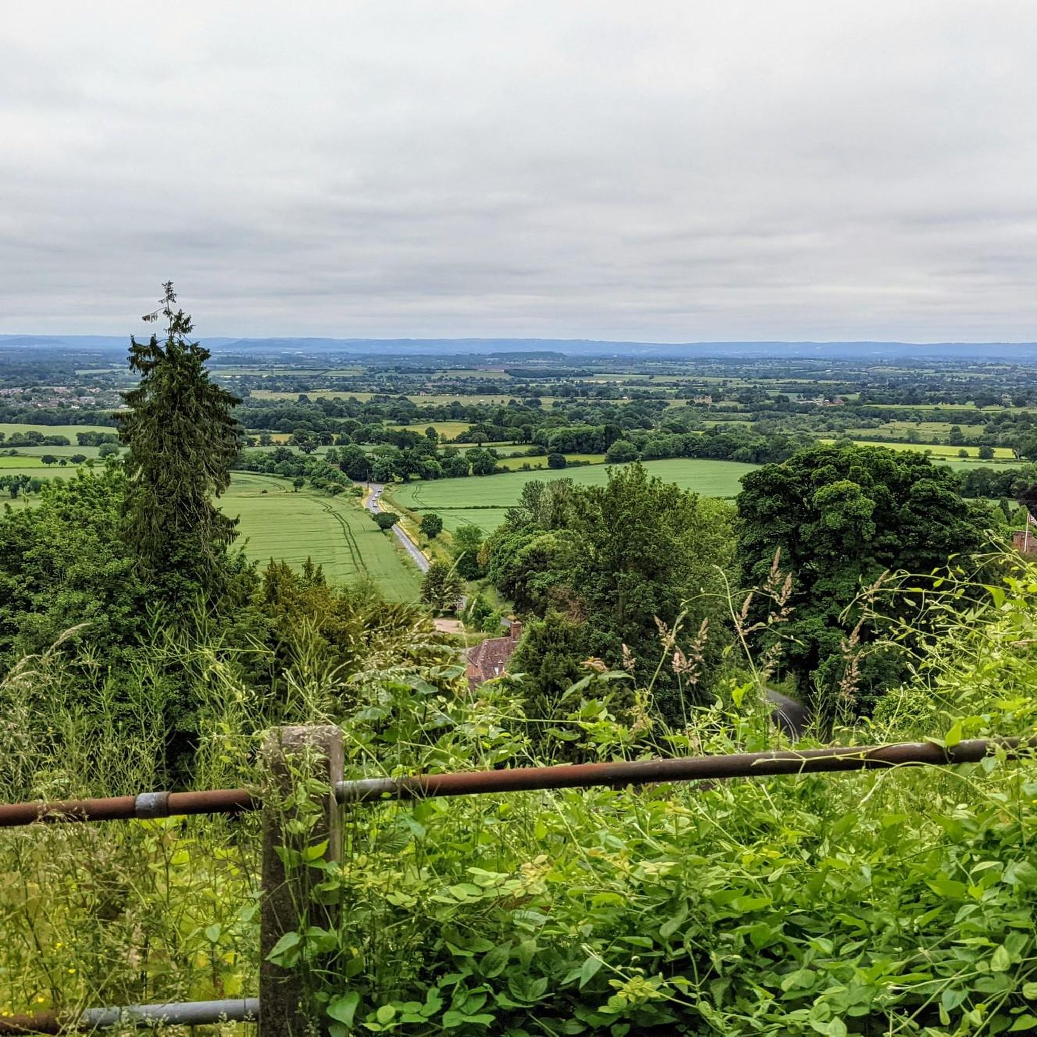
Just after Abberton, the focus of the view switches from looking north to looking south, towards the great bulk of Bredon Hill (part covered by low cloud...)
0
0
Frequently Asked Questions
How many hiking trails are available around Throckmorton?
There are over 260 hiking routes in the Throckmorton area. These include a good mix of easy and moderate trails, with 133 routes classified as easy and 124 as moderate, making the area accessible for various fitness levels.
Are there easy hiking trails suitable for beginners or casual walkers?
Yes, Throckmorton offers many easy trails. For instance, the Pershore Abbey – Avon Meadows Community Wetland loop from Pershore is an easy 2.7-mile (4.4 km) route that takes just over an hour, perfect for a relaxed stroll through historic sites and wetlands.
Are the hiking trails in Throckmorton suitable for families with children?
Many of the trails around Throckmorton are family-friendly, especially those along the River Avon and through the community wetlands, which are generally flat and accessible. The View of the Pond Near Wick – Avon Meadows Community Wetland loop from Wyre Piddle is a shorter, easy option at 3.1 miles (5 km) that could be enjoyable for families.
Can I bring my dog on the hiking trails around Throckmorton?
Most public footpaths and trails in the Throckmorton area are dog-friendly, though it's always recommended to keep dogs on a lead, especially near livestock or in nature reserves. The river paths and open countryside offer good opportunities for walks with your canine companion.
When is the best time of year to hike in Throckmorton?
The gentle terrain and river paths of Throckmorton make it suitable for hiking year-round. Spring and summer offer lush green landscapes and pleasant weather, while autumn brings beautiful colors. Even in winter, the low-lying routes are generally accessible, though some paths might be muddy, especially after rain.
Are there circular hiking routes available in Throckmorton?
Yes, many routes in Throckmorton are circular, allowing you to start and end in the same location. Examples include the Pershore Old Bridge – Wick History Trail loop from Pershore, which is a moderate 7.6-mile (12.3 km) historical walk, and the Muddy Cattle Path Crossing – First View of Bredon Hill loop from Bishampton, a 5.1-mile (8.2 km) rural path.
What kind of wildlife can I expect to see while hiking in Throckmorton?
The river valleys and wetland areas around Throckmorton are rich in birdlife, including various waterfowl. Keep an eye out for common countryside mammals. The Grafton Wood Nature Reserve, a nearby natural monument, is particularly good for wildlife spotting.
What do other hikers enjoy most about hiking in Throckmorton?
The komoot community rates the Throckmorton trails highly, with an average score of 4.4 stars from over 400 reviews. Hikers often praise the accessible river paths, the peaceful wetland areas, and the views of the surrounding countryside, including distant hills like Bredon Hill.
Are there any historical landmarks or attractions to see along the trails?
Absolutely. The area is dotted with historical sites. You can explore the Pershore Old Bridge, visit Parsons Folly on Bredon Hill, or discover charming churches like St Mary's Church, Elmley Castle. Many routes incorporate these points of interest.
Is parking available near the trailheads in Throckmorton?
Parking is generally available in the villages and towns that serve as starting points for many of the trails, such as Pershore or Bishampton. Specific parking information can often be found on individual route pages on komoot.
Are there any places to eat or pubs along the hiking routes?
Many of the routes pass through or near villages and towns like Pershore, which offer pubs and cafes where you can stop for refreshments or a meal. It's advisable to check opening times in advance, especially for smaller establishments.
What kind of terrain can I expect on the Throckmorton trails?
The terrain around Throckmorton is predominantly low-lying with minimal elevation gain, characterized by river valleys, community wetlands, and agricultural land. You'll mostly encounter flat paths, riverside tracks, and rural footpaths, which can be muddy in wet conditions.
Most popular attractions around Throckmorton

Get inspired with the komoot mobile app


Explore more
Browse the best Hikes in other regions.
