The best road cycling routes in the Wyoming Range
5.0
(4)
390
riders
6
rides
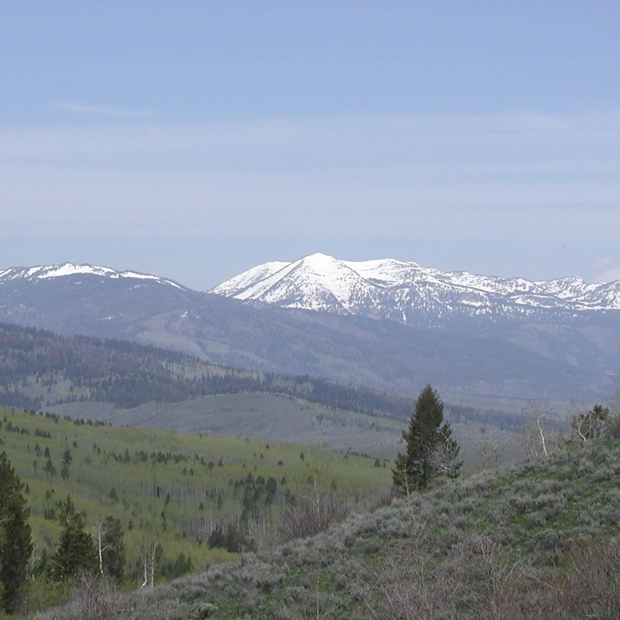
Road cycling in the Wyoming Range offers routes through diverse terrain, characterized by alpine scenery, lush forests, and expansive meadows. The region features parts of the Green River Basin and follows the Greys River, providing varied geographical features. While some routes are well-paved, many include gravel and dirt roads, offering a secluded experience with minimal traffic. The landscape includes impressive peaks, with the highest point being Wyoming Peak at 11,383 feet.
Best road cycling routes in the Wyoming Range
- The…
Last updated: June 28, 2026
26
riders
44.7km
01:47
130m
130m
Moderate road ride. Great for any fitness level. Some segments of this route may be unpaved and difficult to ride.
5.0
(1)
20
riders
26.1km
01:09
130m
130m
Easy road ride. Great for any fitness level. Mostly well-paved surfaces and easy to ride.

Sign up for free
16
riders
64.8km
04:23
600m
600m
Moderate road ride. Good fitness required. Some segments of this route may be unpaved and difficult to ride.
33
riders
116km
05:04
590m
590m
Hard road ride. Very good fitness required. Mostly well-paved surfaces and easy to ride.
Get access to more routes and recommendations from other explorers.
Sign up for free
Already have an account?
Our route recommendations are based on thousands of hikes, rides, and runs completed by other people on komoot.
Start today with a free account
Your next adventure awaits.
Login or Signup

Tips from the Community


Good skiing and tobogganing in winter.
0
0
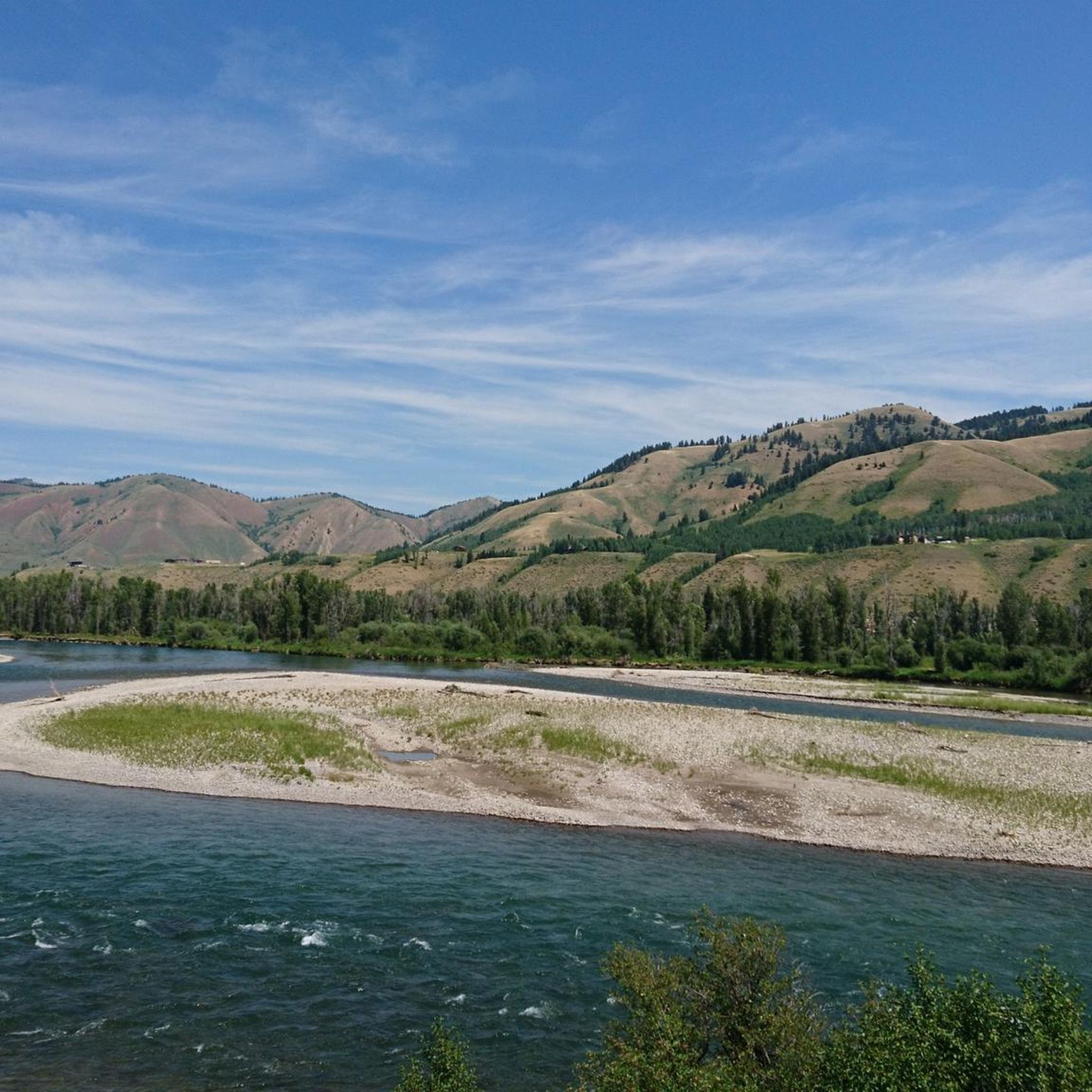
Winter quarters of the Grand Teton deer herd.
1
0
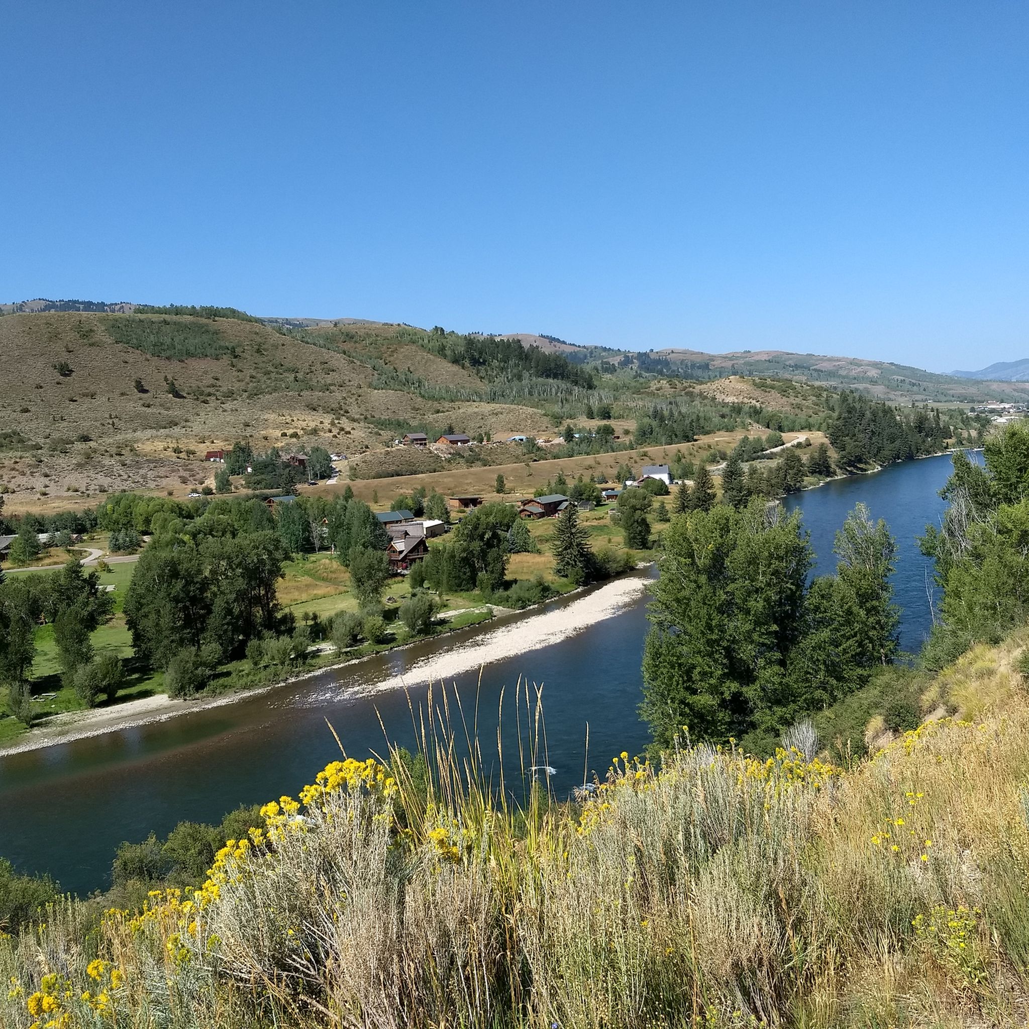
The purpose of the dam is unclear. It apparently doesn't generate electricity.
3
0
Frequently Asked Questions
How many road cycling routes are available in the Wyoming Range?
The Wyoming Range offers 5 road cycling routes, catering to various skill levels. You'll find 2 easy routes and 3 moderate routes, ensuring there's something for everyone.
What kind of terrain can I expect on road cycling routes in the Wyoming Range?
Road cycling in the Wyoming Range features diverse terrain, from stunning alpine scenery and lush forests to expansive meadows. Routes often traverse parts of the Green River Basin and follow the scenic Greys River. While some sections are well-paved, many routes include gravel and dirt roads, offering a secluded experience with minimal traffic.
What is the best time of year for road cycling in the Wyoming Range?
The best time for road cycling in the Wyoming Range is typically during the warmer months, from late spring through early autumn. This period offers the most favorable weather and road conditions. Be aware that some unpaved sections can become challenging, especially after rain, due to 'death mud'.
How challenging are the road cycling routes in the Wyoming Range?
The routes in the Wyoming Range vary in difficulty. You can find relatively easy rides with up to 1,000 feet of elevation gain over a couple of hours, suitable for any fitness level. More challenging routes, often on unpaved segments, can involve over 3,000 feet of climbing over several hours and require good to very good fitness. For example, the View of Snake River loop from Alpine is a moderate route with significant elevation gain.
Are there any easy road cycling routes suitable for beginners in the Wyoming Range?
Yes, there are easy road cycling routes perfect for beginners. Two notable options include the View of Snake River – Snake River Bridge loop from South Park and the View of Snake River – Snake River Bridge loop from Green Mountain. These routes offer gentler gradients and are ideal for those new to road cycling in the region.
What natural features or landmarks can I see while road cycling in the Wyoming Range?
While cycling, you can encounter various natural features and landmarks. Keep an eye out for the Anne's Pond, the scenic Henry's Rd Bypass (Snake River Valley), and Gibbs Creek. For panoramic views, consider routes that offer glimpses from areas like View from Munger Mountain. The region is also known for its alpine scenery, lush forests, and the unique Tri Basin Divide.
What are the road conditions like for cycling in the Wyoming Range?
Road conditions in the Wyoming Range can vary significantly. While some routes are well-paved, many are gravel and dirt, and certain sections can be quite rough. For these more challenging segments, it's advisable to use the widest gravel tires possible or even a mountain bike. Be prepared for minimal services and carry enough water, though natural water sources are often available with a filter.
Are there any longer, more challenging road cycling routes in the Wyoming Range?
For those seeking a longer and more challenging experience, the Wyoming Range offers routes that delve deep into its wilderness. An 85-mile circuit in the central part of the range, for instance, features 6,000 feet of climbing, predominantly on gravel and dirt roads within the Bridger-Teton National Forest. This route includes the Wyoming Range Road, a crossing at McDougal Gap, and the Greys River Road. Another historical option is the former Lander Cutoff of the Oregon Trail, now La Barge Road, which climbs Thompson Pass and crosses Snider Basin.
What do other road cyclists enjoy the most about road cycling in the Wyoming Range?
The Wyoming Range is highly rated by the komoot community, with an average score of 5.0 stars. Cyclists often praise the region for its stunning natural beauty, diverse terrain, and the sense of seclusion it offers. The minimal traffic on many routes allows for a tranquil and immersive outdoor experience, with opportunities to spot wildlife like moose, antelope, and elk.
Are there any circular road cycling routes in the Wyoming Range?
Yes, many of the road cycling routes in the Wyoming Range are designed as loops, allowing you to start and end at the same point. Examples include the View of Snake River loop from Jackson Hole Classical Academy and the Roadbike loop from Smiths, which offer varied distances and experiences.
What kind of wildlife can I expect to see while cycling in the Wyoming Range?
The Wyoming Range is home to a variety of wildlife. Cyclists often have the chance to spot moose, antelope, elk, mule deer, and even bears, especially in the more secluded areas. The quiet nature of many routes enhances the opportunity for wildlife viewing.
Are there specific towns or areas that serve as good starting points for road cycling in the Wyoming Range?
While services are minimal within the range itself, the closest towns that can serve as starting points or resupply locations are Big Piney and Alpine. These towns offer access to various routes and are where you might find basic amenities before heading out on your ride.
Most popular routes in the Wyoming Range
Most popular attractions in the Wyoming Range

Get inspired with the komoot mobile app


