The best walks and hikes in the Wyoming Range
5.0
(2)
98
hikers
11
hikes
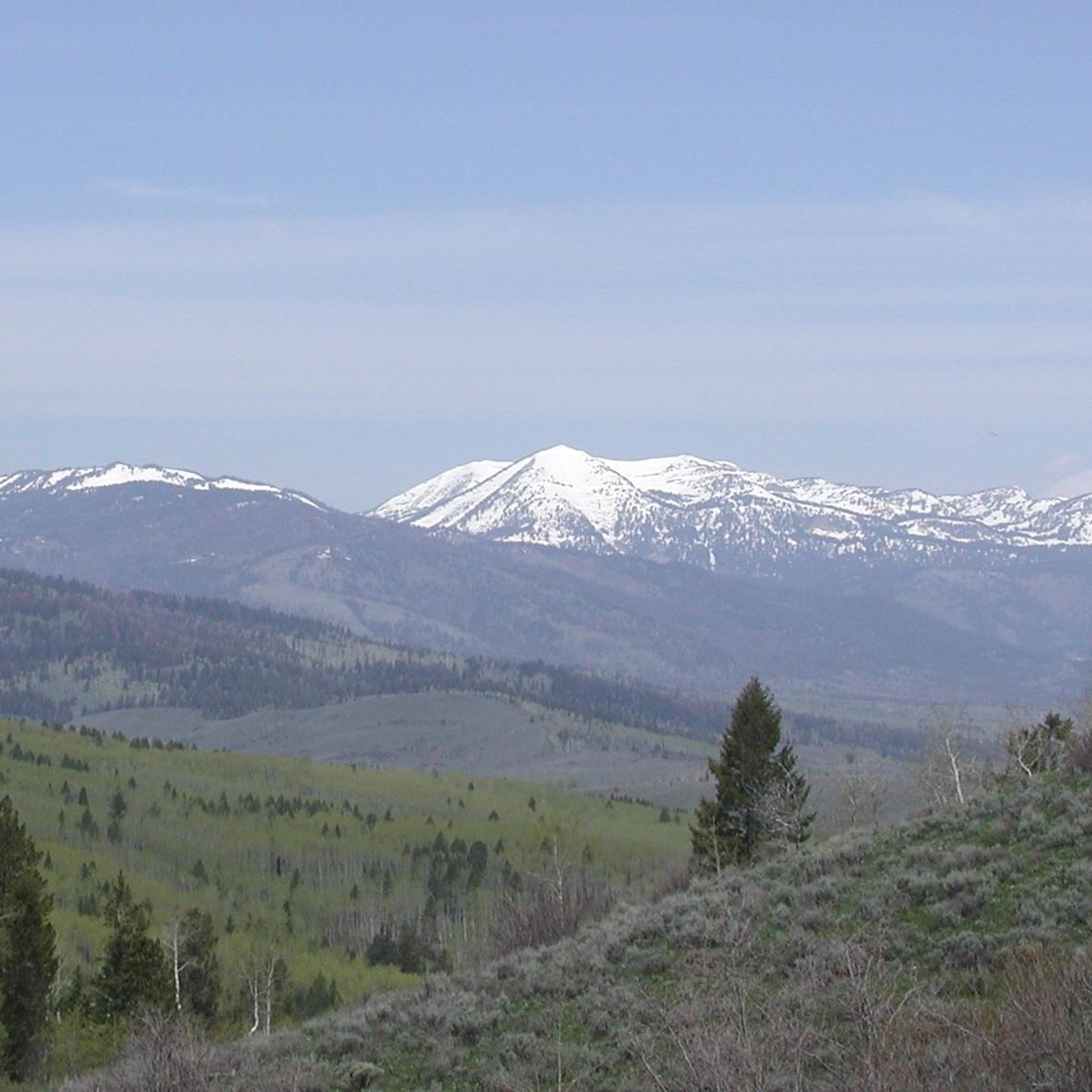
Hikes in the Wyoming Range explore a mountain landscape in western Wyoming known for its rolling open slopes and dense evergreen forests. The terrain features a mix of sagebrush, aspen groves, and high-elevation paths, including sections of the long-distance Wyoming Range National Recreation Trail. These routes offer a variety of options for different fitness levels, from short walks to more demanding day hikes.
Best hiking trails in the Wyoming Range
- The most popular hiking route is Cache Creek and Skyline Trail Loop — Gros Ventre Wilderness, a 13.2 mile (21.2 km) trail that takes about 6 hours 10 minutes to complete. This difficult route involves a significant elevation gain of 1,890 feet (576 m).
- Another top favourite among local hiking enthusiasts is Woods Canyon Trail — Gros Ventre Wilderness, a moderate 4.6 mile (7.5 km) path. The trail ascends through the canyon and is typically completed in around 2 hours 55 minutes.
- Local hiking enthusiasts also love the Cache Creek – Cache Creek Trail loop from Jackson, a 3.7 mile (6.0 km) trail leading through the creek area, often completed in about 1 hour 40 minutes.
- Hiking in the Wyoming Range is defined by rolling open slopes, aspen groves, and dense evergreen forests. The network of trails provides options for different ability levels, from easy riverside walks to challenging high-elevation hikes.
- The routes in Wyoming Range are highly rated by the komoot community with an average score of 5.0 stars from 3 reviews. More than 100 hikers have used komoot to explore Wyoming Range's varied terrain.
Last updated: June 23, 2026
1
hikers
2.32km
00:36
20m
10m
The Russ Garaman Pathway offers a delightful, easy stroll through Jackson, Wyoming, perfect for a quick outing. This paved, multi-use path meanders alongside Flat Creek, providing pleasant scenery and, on clear days, glimpses of the Grand Teton mountains. You'll also encounter the Jackson Hole Community Garden and various sculptures along the way, making this 1.4-mile (2.3 km) route with just 75 feet (23 metres) of elevation gain a charming experience that takes about 36 minutes.
Planning your visit is straightforward; there are no permits or fees required to enjoy this accessible pathway. Its paved surface means you can comfortably use it even in winter, making it a year-round option for those seeking an easy walk. The pathway is also dog-friendly, provided your furry friend stays on a leash, and connects to several other local trails, offering extended exploration opportunities.
Historically significant as the first section of the Jackson Hole pathway system, opened in 1996, the Russ Garaman Pathway was partly financed by the Garaman family. It remains a popular and well-used route, serving as a convenient access point within Jackson. Recent safety enhancements in Garaman Park, such as a bicycle roundabout and chicane gate fencing, further improve the experience for all users.
5.43km
01:32
180m
10m
Hike the easy 3.4-mile Game Creek Trail in Bridger-Teton National Forest, enjoying forests, willows, and views of the Gros Ventre Mountains.

Sign up for free
17.0km
04:30
150m
170m
Hike the moderate 10.6-mile Snake River Paddle Route in Bridger-Teton National Forest, gaining 501 feet in 4 hours and 30 minutes.
638m
00:10
10m
0m
The Astoria Mineral Hot Springs Trail offers a delightful, easy hike leading to natural, free hot springs nestled along the Snake River. You'll follow a dirt path along a bluff, enjoying scenic views of the river and the surrounding Bridger-Teton National Forest before reaching the bright blue mineral pools. This short 0.4-mile (0.6 km) route, with only 25 feet (8 metres) of elevation gain, is a quick 10-minute walk, making it an ideal choice for a relaxing, high-reward outdoor experience.
Planning your visit is straightforward, as the trail is accessible year-round. However, if you're heading out in winter, be prepared for potentially slippery conditions, ice, and snow; bringing spikes for your boots is a smart move. Proper hiking footwear is always advised due to the uneven terrain, and remember this is a rustic, unregulated spot, so come prepared for a natural experience rather than a developed park.
What makes this trail truly special is its destination: the beautiful, mineral-rich hot springs themselves, offering a unique opportunity to soak in nature. The distinct sulfur smell confirms you've found the right spot, differentiating it from the nearby commercial hot springs. It's a fantastic way to experience the natural beauty of Hoback, Wyoming, and enjoy a free, therapeutic dip.
5.0
(1)
5
hikers
21.2km
06:11
580m
580m
Embark on a difficult 13.2-mile (21.2 km) hike along the Cache Creek to Skyline Trail Loop, a strenuous adventure that rewards you with stunning mountain scenery. You will gain 1890 feet (576 metres) over an estimated 6 hours and 10 minutes, traversing lush meadows and old-growth forests. The route begins by following the cascading Cache Creek, offering a serene start before a steep climb to the ridgeline. Once on the Skyline Trail, you can enjoy expansive views of Cache Peak, the Game Creek drainage, and the distant Teton Mountains.
Before you set out, be aware of important seasonal closures that affect this route. The Skyline Trail segment is typically closed for wildlife protection from May 1st to July 1st, so plan your visit accordingly. The loop begins on Cache Creek Road, and you should also note that sections like Ferrin's Trail are popular with mountain bikers; always stay alert and share the path respectfully.
This challenging loop is nestled within the vast Bridger-Teton National Forest, an area renowned for its diverse ecosystems and abundant wildlife. The trail offers a unique opportunity to experience the rugged beauty of the region, from its riparian corridors to its high-alpine vistas. It stands out as a rewarding option for experienced hikers seeking a substantial day out in a truly wild setting.
7.47km
02:57
570m
570m
Embark on the Woods Canyon Trail, a moderate hiking route that guides you through a diverse landscape. You will cover 4.6 miles (7.5 km) and ascend 1883 feet (574 metres), typically taking around 2 hours and 57 minutes to complete. As you hike, you will experience a transition from open sagebrush and desert grasses to lush riparian zones featuring scrub oaks and junipers, often following Dry Beaver Creek with its striking red rock pools after rain or snowmelt. Keep an eye out for glimpses of red rock formations that punctuate the quiet solitude of the Munds Mountain Wilderness.
To begin your adventure, the trail conveniently starts near the Red Rock Ranger Station, ensuring easy access to the trailhead. Be prepared for sections of the route that are unshaded, which can make hiking hot during the summer months. It is also wise to exercise caution in wash areas, especially on cloudy days, as conditions can change rapidly. Planning your visit for cooler parts of the day or year will enhance your experience.
This trail offers a unique opportunity to immerse yourself in the natural environment of the Munds Mountain Wilderness. The varied terrain, from desert flora to creek-side vegetation, showcases the region's ecological diversity. You will find a rewarding outdoor experience here, perfect for those seeking a good workout while enjoying the distinctive geological features and peaceful atmosphere of this Arizona landscape.
16.5km
05:52
990m
990m
Embark on a difficult hike along the Cow Creek Trail to Cream Puff Peak, a challenging route that spans 10.2 miles (16.5 km) with a significant elevation gain of 3244 feet (989 metres). You can expect to spend around 5 hours and 51 minutes on this journey. The trail starts by winding through lush forests of fir, spruce, and aspen, eventually opening up to vibrant meadows often dotted with wildflowers like lupine and Indian paintbrush as you climb. The ultimate reward is reaching Cream Puff Peak, where you'll be treated to expansive, 360-degree views that include the majestic Tetons. This trail offers a truly immersive experience in the Gros Ventre Wilderness.
When planning your visit, be aware that this remote trail offers a less crowded experience, which is great for solitude seekers. However, you should be prepared for varied conditions, as some sections, especially near the ridgeline and Cream Puff Peak, can be overgrown. It's wise to pay close attention to your route, as some social trails might be unmarked. The route tends to melt off earlier than other high-elevation trails, making it a good option if you're looking for an early-season hike.
This trail is situated within the Bridger-Teton National Forest, offering a unique perspective of the region's diverse landscapes. The less crowded nature of the route provides a peaceful escape into the wilderness, allowing you to connect with nature without the hustle and bustle of more popular spots. The opportunity to witness the vastness of multiple mountain ranges from Cream Puff Peak makes this a memorable and distinctive adventure for experienced hikers.
22
hikers
6.04km
01:41
110m
110m
Easy hike. Great for any fitness level. Easily-accessible paths. Suitable for all skill levels.
10
hikers
Easy hike. Great for any fitness level. Easily-accessible paths. Suitable for all skill levels.
3
hikers
3.15km
01:34
360m
370m
Moderate hike. Good fitness required. Easily-accessible paths. Suitable for all skill levels.
Our route recommendations are based on thousands of hikes, rides, and runs completed by other people on komoot.
Start today with a free account
Your next adventure awaits.
Login or Signup

Tips from the Community

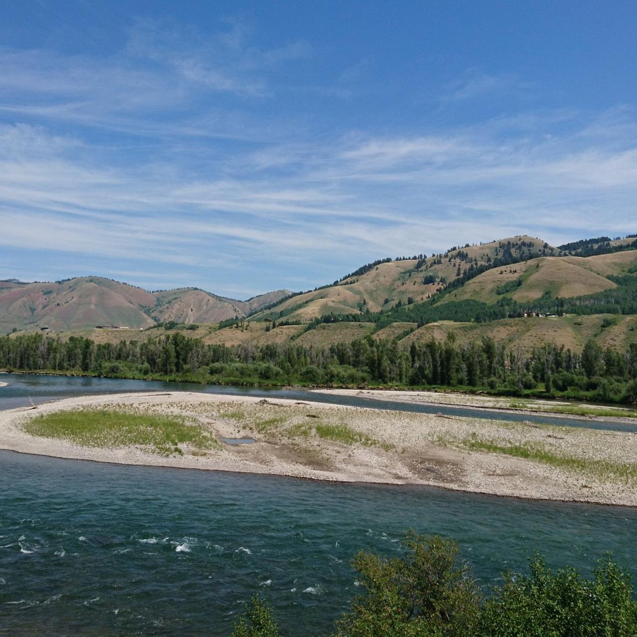
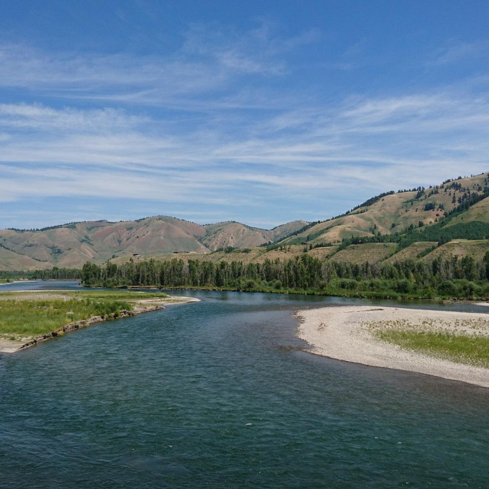
River that winds through Jackson in tight loops. The bank is very flat and I am sure that there are frequent floods that flood the houses
1
0

Small stream that runs through Jackson AZ with wonderful hiking trails branching off of the main trail.
0
0

This section of the trail is pretty narrow single track that is not technical at all. The trail is very smooth with the occasional rock, but keep an eye out for oncoming riders/bears as the vegetation is thick and hard to see through.
0
0

Very steep trail. Great view
0
0

Cream Puff Peak makes for a challenging day hike to a lofty summit. The trail that ascends from the Bighorn Conservation Area is relentlessly steep and will certainly get the heart pumping. From the top, you are rewarded with panoramic views across the Gros Ventre region.
0
0
The Cow Creek Trail climbs steadily to reach the summit of Cream Puff Peak for an exceptional panorama across the Gros Ventre Range. Highway 189 gives access to a number of great hiking routes, including the Cow Creek Trail to Cream Puff Peak. The views along the road are excellent, particularly to the conspicuous Battle Mountain.
0
0
A lovely trail that follows the course of Cache Creek. There are a couple of things to bear in mind on hikes in the area. Firstly, the trails are also used by mountain bikers and, secondly, don't forget to bring your bug spray in the warmer months.
0
0
The parking here on Cache Creek Drive gives access to a variety of MTB trails and the Cache Creek Trail and Woods Canyon Trail for hikers. It is easily reached from the town of Jackson.
0
0
Frequently Asked Questions
When is the best time of year to hike in the Wyoming Range?
The prime hiking season in the Wyoming Range is from July through September. During these months, the trails are generally free of snow, especially at higher elevations. August and September often provide the most stable weather and optimal trail conditions. Wildflower displays are typically at their peak in late spring and early summer.
Are there any easy, family-friendly hikes in the area?
Yes, there are several options suitable for families. The Cache Creek – Cache Creek Trail loop from Jackson is a great choice. It's a relatively short and flat walk of about 3.7 miles (6.0 km) that is perfect for an easy outing with children.
Can I bring my dog on the trails in the Wyoming Range?
Most trails within the Bridger-Teton National Forest, which encompasses the Wyoming Range, are dog-friendly. However, dogs must be under voice control or on a leash. It's important to be aware that this is bear country and home to other large wildlife, so keeping your dog close is crucial for their safety and to avoid disturbing the local fauna.
What are the trail conditions like and do I need a permit?
Trail conditions vary by season and elevation. Higher trails can hold snow until early July. The paths are generally well-maintained but can be rocky or muddy after rain. For general day hiking and backpacking, no specific permits are required. However, standard national forest regulations for camping and campfires apply. Always check with the local Greys River Ranger District for the most current conditions and any alerts before you go.
Are there any good circular hikes or loops?
The area offers some excellent loop hikes. For a challenging day out with rewarding views, consider the Cache Creek and Skyline Trail Loop. This 13.2-mile (21.2 km) circuit provides a comprehensive experience of the region's terrain.
What kind of wildlife might I see while hiking?
The Wyoming Range is teeming with wildlife. It's common to spot elk, moose, mule deer, and pronghorn antelope. The area is also habitat for both black and grizzly bears, so it is essential to carry bear spray and know how to use it. Birdwatchers can also enjoy a wide variety of species in the forests and meadows.
Are there options for multi-day backpacking trips?
Absolutely. The Wyoming Range is a fantastic destination for backpacking. The premier long-distance route is the Wyoming Range National Recreation Trail, which runs for about 75 miles along the crest of the range. You can tackle shorter sections of this trail or plan other multi-day loops using the extensive network of paths in the region.
What is a good moderate day hike in the Wyoming Range?
For a moderately challenging hike, the Woods Canyon Trail is a popular choice. It's a 4.6-mile (7.5 km) out-and-back trail that offers a steady ascent through a scenic canyon, taking around three hours to complete.
I'm looking for a challenging hike with significant elevation gain. Any recommendations?
If you're seeking a strenuous hike, the route to Cream Puff Peak via Cow Creek Trail is an excellent option. This difficult trail covers over 10 miles (16.5 km) and involves an ascent of more than 3,200 feet (988 m), rewarding hikers with expansive views from the top.
How does hiking in the Wyoming Range compare to the nearby Wind River Range?
The Wyoming Range generally offers a more solitary experience with fewer crowds than the more famous Wind River Range. Its terrain is characterized by rolling, open high country and forested slopes, whereas the Winds are known for their rugged granite peaks and thousands of alpine lakes. Both are spectacular, but the Wyoming Range is often preferred by those seeking solitude and a more remote-feeling wilderness.
Where can I find information on camping near trailheads?
Dispersed camping is widely permitted throughout the Bridger-Teton National Forest, which includes the Wyoming Range, unless otherwise posted. This allows you to camp for free in undeveloped sites. Be sure to follow Leave No Trace principles. There are also several established campgrounds. For more specific information on regulations and locations, you can check with the local ranger district or visit official forest service websites.
Most popular routes in the Wyoming Range
Most popular attractions in the Wyoming Range

Get inspired with the komoot mobile app


Explore more
Browse the best Hikes in other regions.
