The best running trails in the Wyoming Range
5.0
(3)
134
runners
11
runs
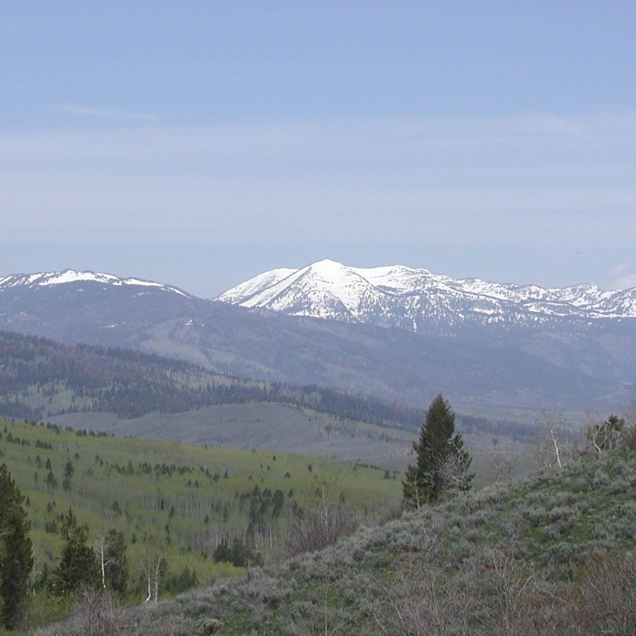
Jogging in the Wyoming Range offers a secluded experience within a rugged and remote landscape. The region is characterized by rolling open slopes dotted with sagebrush, interspersed with aspen trees and forested hills. Many routes traverse high elevations, often above 9,000 feet, and can involve challenging conditions such as faint paths, stream crossings, and mud.
Best jogging routes in the Wyoming Range
- The most popular jogging route is Sink or Swim Trail loop from Maverick, Broadway and Huff, a…
Last updated: June 29, 2026
14
runners
Embark on a challenging journey through the heart of Snow King Mountain with this difficult 6.1-mile (9.9 km) jogging loop, gaining 1648 feet (502 metres) of elevation. The Sink or…
9
runners
5.91km
00:45
110m
110m
Moderate run. Good fitness required. Mostly paved surfaces. Suitable for all skill levels.

Sign up for free
10
runners
9.62km
01:15
210m
210m
Moderate run. Good fitness required. Mostly accessible paths. Some sure footedness required.
8
runners
11.5km
01:12
40m
40m
Moderate run. Good fitness required. Mostly paved surfaces. Suitable for all skill levels.
5.0
(1)
8
runners
11.9km
01:14
50m
50m
The "Running loop from High School and Rangeview" is a moderate jogging route designed for consistent exercise in the South Park area of Wyoming. You'll cover 7.4 miles (11.9 km)…
8
runners
8.59km
00:53
20m
20m
Moderate run. Good fitness required. Mostly paved surfaces. Suitable for all skill levels.
6
runners
5.34km
00:41
110m
110m
Moderate run. Good fitness required. Mostly accessible paths. Some sure footedness required.
Get access to more routes and recommendations from other explorers.
Sign up for free
Already have an account?
Our route recommendations are based on thousands of hikes, rides, and runs completed by other people on komoot.
Start today with a free account
Your next adventure awaits.
Login or Signup
Tips from the Community

The Sink or Swim trail is one of the popular trail to get up Snow King Mountain. It is not technical, but there is a lot of elevation gain, so it can be challenging.
0
0

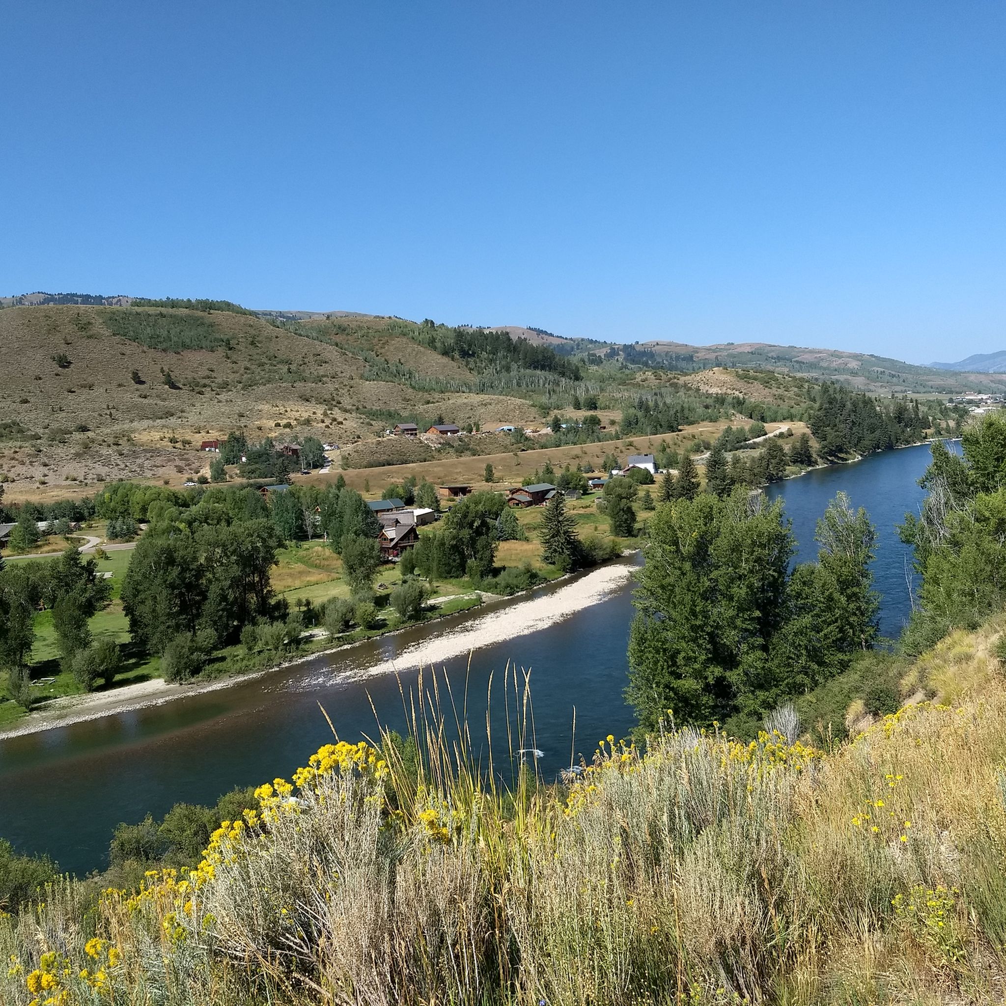
River Trail merges into Ferrin's Trail close to the car park. Both trails run along a scenic river lines with shade and wildflowers!
0
0
South Park Pathway is a multi-use path that is off the main road.The path provides car-free views of the surrounding mountains and a nice place to be able to ride while connecting ot other trails!
0
0
This section of the trail is pretty narrow single track that is not technical at all. The trail is very smooth with the occasional rock, but keep an eye out for oncoming riders/bears as the vegetation is thick and hard to see through.
0
0

Snow King Mountain is home to Jackson's original ski resort and today offers all kinds of outdoor activities. There are many hiking trails on the mountain, including Sink or Swim and the trail up Josie's Ridge to the west. The view from the summit towards the Tetons is spectacular.
0
0
A lovely trail that follows the course of Cache Creek. There are a couple of things to bear in mind on hikes in the area. Firstly, the trails are also used by mountain bikers and, secondly, don't forget to bring your bug spray in the warmer months.
0
0
The parking here on Cache Creek Drive gives access to a variety of MTB trails and the Cache Creek Trail and Woods Canyon Trail for hikers. It is easily reached from the town of Jackson.
0
0

An excellent bike trail connects Jackson with the Teton Village resort area, framed by spectacular views of the Teton Range along the entire route.
0
0
Frequently Asked Questions
How many running routes are available in the Wyoming Range?
Komoot features 8 dedicated running routes in the Wyoming Range. These trails offer a variety of experiences, primarily catering to moderate to difficult skill levels due to the region's rugged terrain.
What is the general difficulty level of running trails in the Wyoming Range?
The running trails in the Wyoming Range are generally considered moderate to difficult. Out of the 8 routes listed, 7 are rated moderate and 1 is difficult. The region's rugged and remote nature, often with faint paths and significant elevation changes, makes it particularly appealing for experienced trail runners.
Are there any easy running routes for beginners in the Wyoming Range?
Based on the available routes, there are no trails specifically rated as 'easy' for beginners. The Wyoming Range is known for its challenging, high-altitude terrain, making it more suitable for experienced trail runners. Even moderate routes can involve rough sections and stream crossings.
What is the best time of year to go running in the Wyoming Range?
The best conditions for accessing most trails, especially the higher elevation sections of the Wyoming Range National Recreation Trail, are typically from July through September. Some lower elevation portions may be accessible from mid-May, but runners should be prepared for challenging conditions like mud and stream crossings outside of peak summer months.
What kind of landscapes and views can I expect on a run in the Wyoming Range?
Running in the Wyoming Range offers breathtaking landscapes characterized by rolling open slopes dotted with sagebrush, interspersed with pockets of aspen trees and forested hills. You'll experience rugged, high-altitude mountain views and a sense of solitude, as the area is known for fewer crowds. The region is also a haven for diverse wildlife.
Are there any circular running routes in the Wyoming Range?
Yes, several routes in the Wyoming Range are circular. For example, the challenging Sink or Swim Trail loop from Maverick, Broadway and Huff is a 9.9 km loop. Other moderate loop options include the Cache Creek Trail loop from Cache Creek Trailhead (5.9 km) and the Cache Creek loop from Cache Creek Trailhead (9.6 km).
What kind of wildlife might I encounter while running in the Wyoming Range?
The Wyoming Range is rich in wildlife. While running, you might have the opportunity to spot mule deer, elk, moose, antelope, and various bird species. More elusive animals like black and grizzly bears, mountain lions, wolverines, and lynx also inhabit the area, so it's important to be aware of your surroundings and practice wildlife safety.
Are there any notable landmarks or points of interest along the running routes?
While the focus is on natural beauty, you can find interesting points nearby. For instance, the Hoback Canyon State Historic Marker offers a glimpse into the region's history. You can also find scenic natural features like Anne's Pond, the Henry's Rd Bypass (Snake River Valley), and the Gibbs Creek. For panoramic views, consider the View from Munger Mountain.
What do other runners say about the trails in the Wyoming Range?
The running routes in the Wyoming Range are highly rated by the komoot community, with an average score of 5.0 stars from 2 reviews. Over 80 runners have used komoot to explore the varied and challenging terrain, often praising the solitude, rugged beauty, and opportunities for a true backcountry adventure.
What should I bring for a trail run in the Wyoming Range?
Given the rugged and remote nature of the Wyoming Range, it's crucial to be well-prepared. Runners should bring strong navigation skills, ideally with a GPX track, as trail markings can be faint or nonexistent. Be prepared for challenging conditions including stream crossings and mud. Essential gear includes appropriate trail running shoes, layers of clothing, sufficient water, snacks, and bear spray.
Are there any family-friendly running trails in the Wyoming Range?
The Wyoming Range primarily offers routes for experienced trail runners due to its rugged and remote characteristics. There are no routes specifically listed as 'easy' or 'family-friendly' in this guide. The terrain often involves significant elevation, rough paths, and potential stream crossings, which may be challenging for younger children or those new to trail running.
Is the Wyoming Range National Recreation Trail suitable for running?
The Wyoming Range National Recreation Trail (WRNRT) is a centerpiece for trail activities, spanning 70-75 miles at high elevations. While open to hikers, it's described as a 'graduate-level course' for runners. Many sections are rough, with faint paths, game trails, and even bushwhacking. Runners should be prepared for challenging conditions, strong navigation skills, and stream crossings. It's best suited for highly experienced trail runners seeking a demanding adventure.
Most popular routes in the Wyoming Range
Most popular attractions in the Wyoming Range

Get inspired with the komoot mobile app


