The best walks and hikes around Wielenbach
4.4
(80)
464
hikers
34
hikes
Hiking around Wielenbach offers access to diverse landscapes, situated between the Ammergau Alps and Lake Starnberg. The region features a mix of forests, expansive meadows, and unique moor areas. Trails often lead along the shores of Lake Ammer and Lake Starnberg, and through the Kiental Gorge, which is known for its impressive rock formations. The varied terrain includes both gentle paths and longer hill chains, providing a range of hiking experiences.
Best hiking trails around Wielenbach
- The most popular hiking…
Last updated: June 28, 2026
4.6
(11)
79
hikers
Easy hike. Great for any fitness level. Easily-accessible paths. Suitable for all skill levels.
4.0
(16)
44
hikers
Moderate hike. Good fitness required. Easily-accessible paths. Suitable for all skill levels.

Sign up for free
4.7
(9)
36
hikers
Moderate hike. Good fitness required. Easily-accessible paths. Suitable for all skill levels.
5.0
(4)
28
hikers
12.6km
03:11
20m
20m
Moderate hike. Good fitness required. Mostly accessible paths. Sure-footedness required.
4.7
(7)
35
hikers
7.40km
01:52
10m
10m
Moderate hike. Great for any fitness level. Mostly accessible paths. Sure-footedness required.
Get access to more routes and recommendations from other explorers.
Sign up for free
Already have an account?
Our route recommendations are based on thousands of hikes, rides, and runs completed by other people on komoot.
Start today with a free account
Your next adventure awaits.
Login or Signup
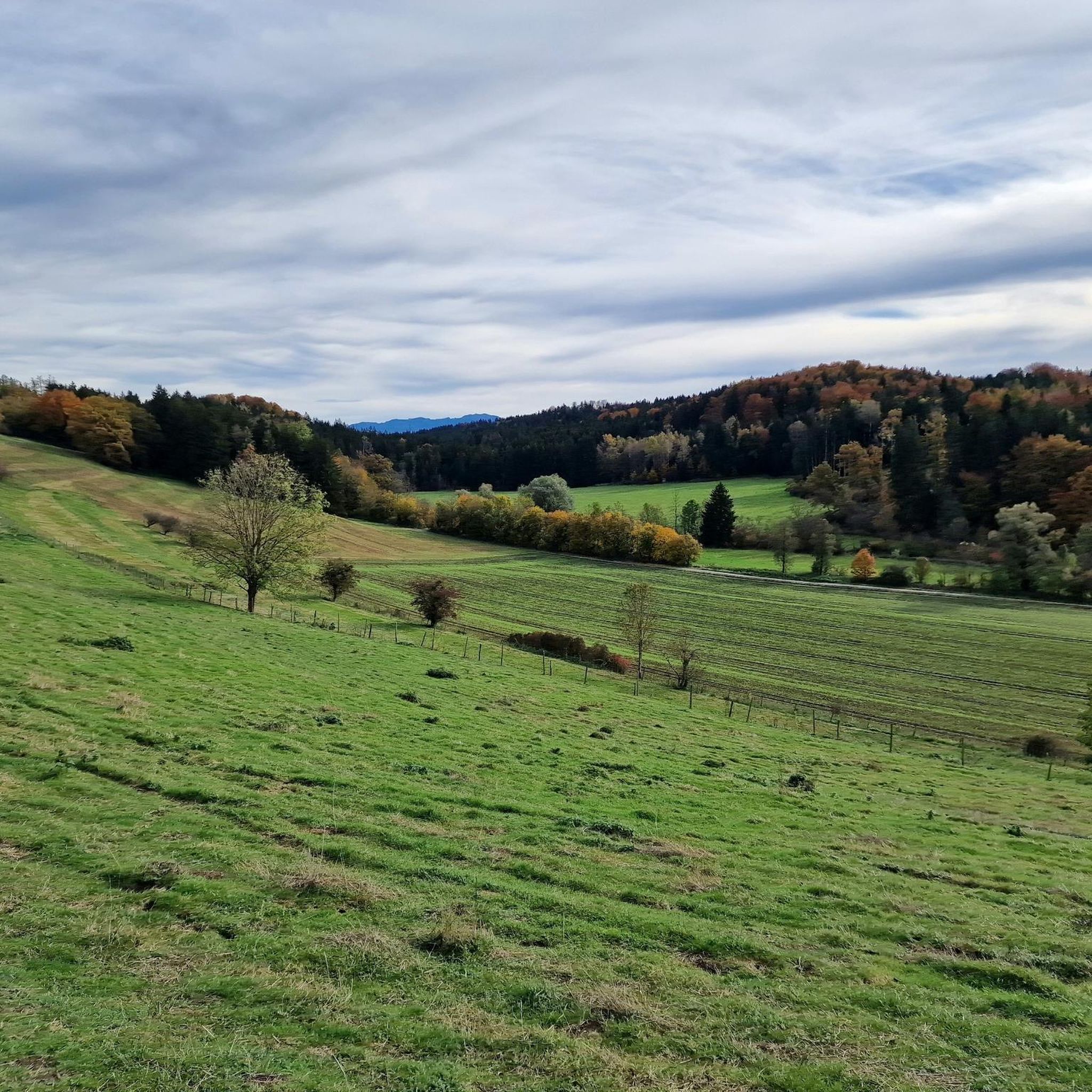
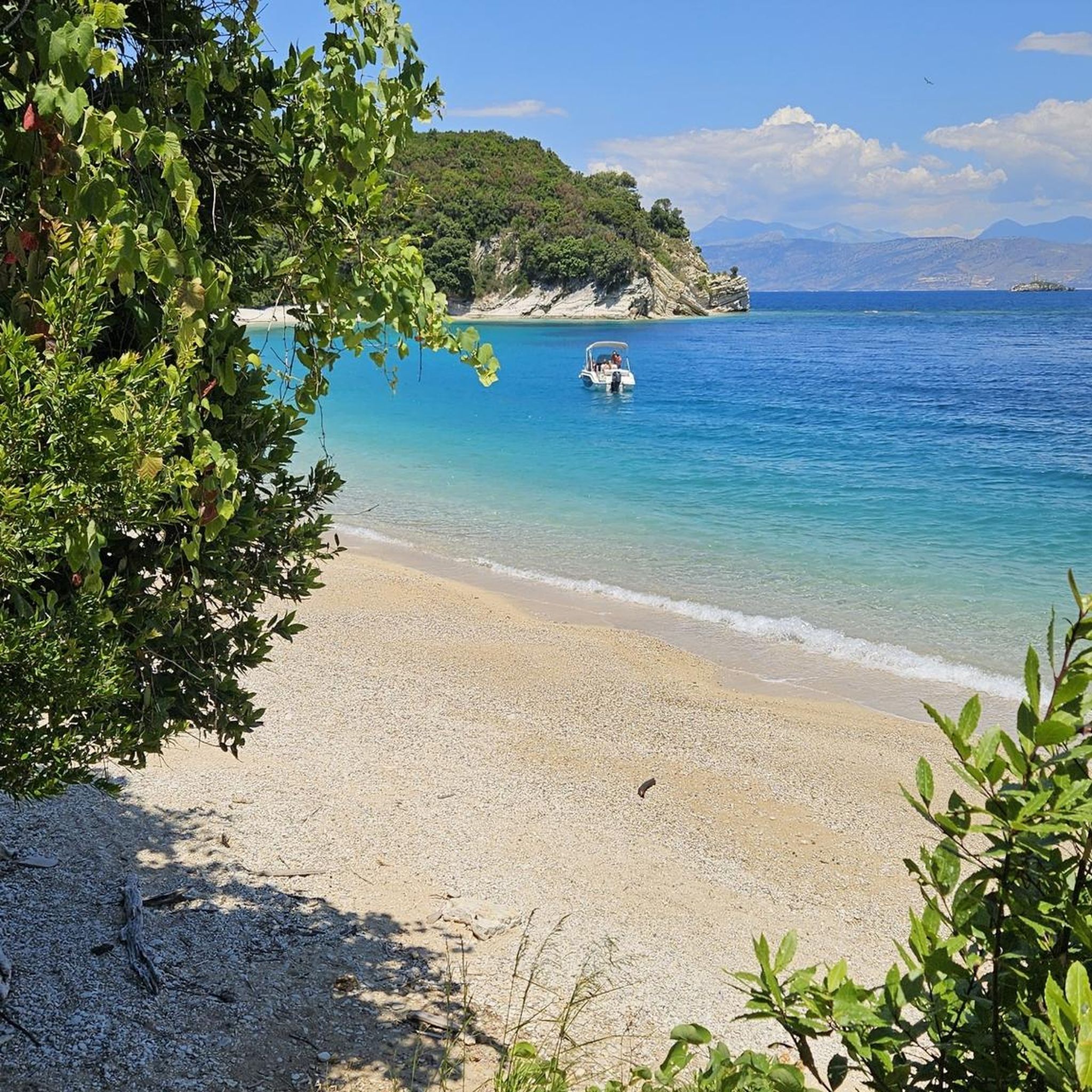
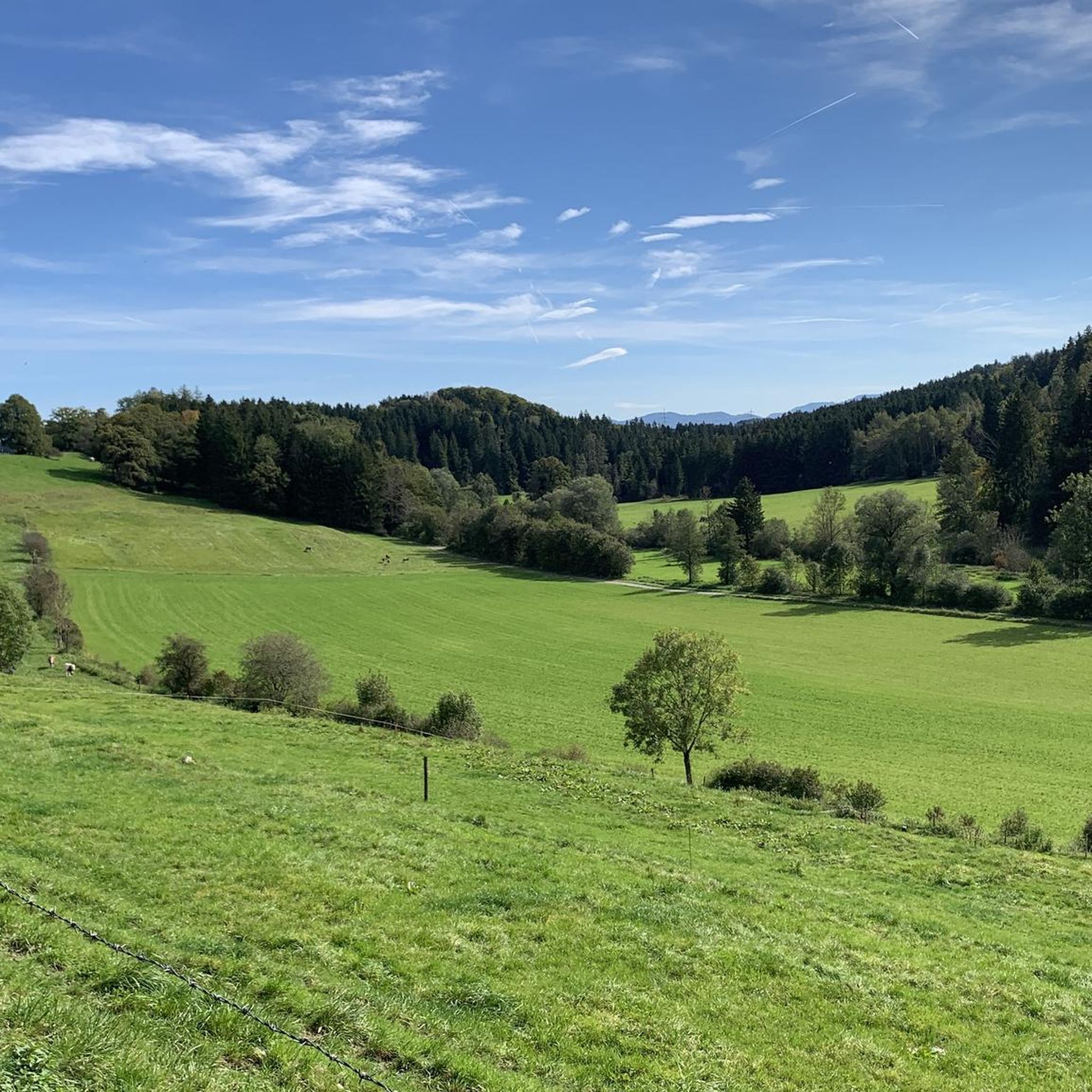

Tips from the Community

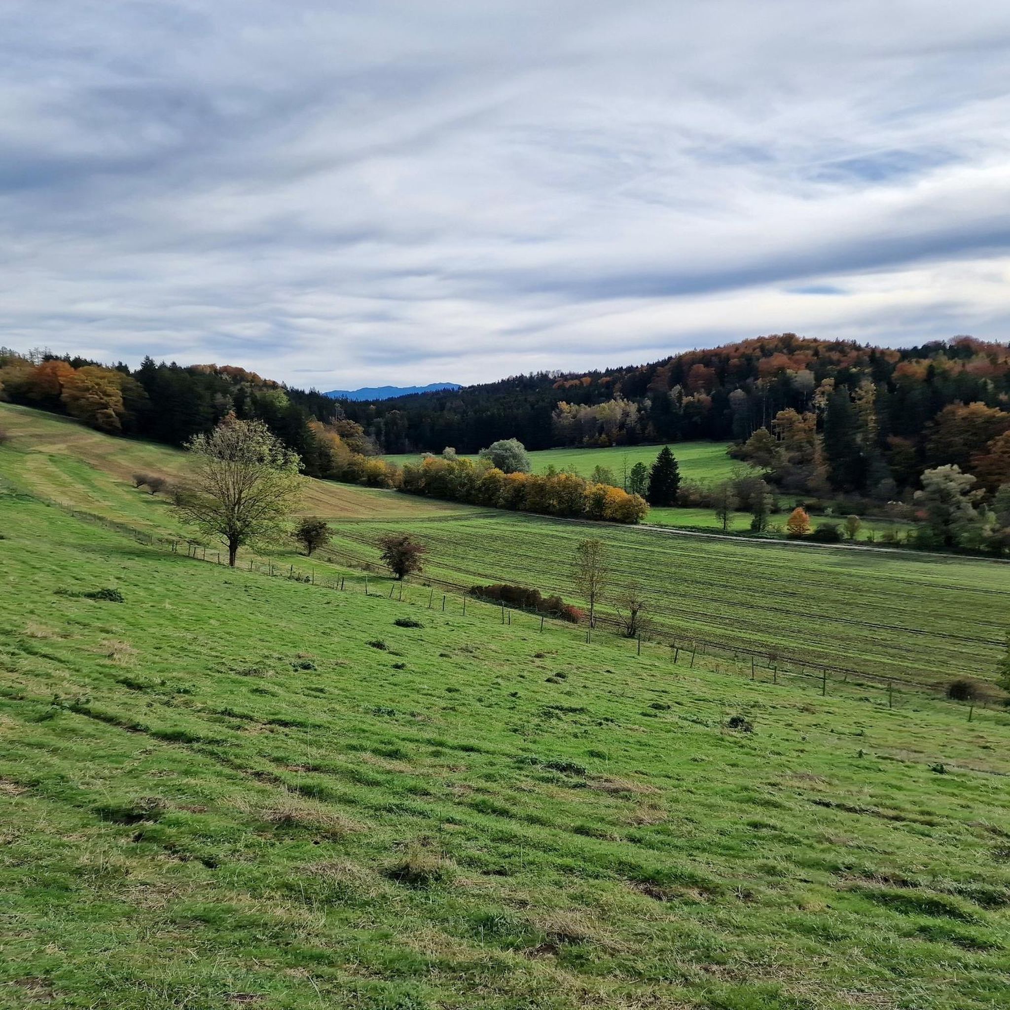
Beautiful view over the pond to the mountains
0
0
Guesthouse and small beer garden
1
0
Great view over Nußberger Weiher to the Alps
0
0
Great view over the Nußberger Weiher to the Alps
0
0

The church "St. Leonhard" is located in the hamlet of Bauerbach in the municipality of Wielenbach and forms the visible center of this nice little village. A first building at this site was erected around 1540, and in 1709 the nave was rebuilt in a baroque style, with the tower largely preserved in its original form. In 1735/36 the choir was added and the tower was raised by an upper story. The cemetery wall probably dates from the mid-18th century and is made of tuff stone. For such a small place as Bauerbach, this beautiful church represents a very striking and defining structure. Further information can be found on Wikipedia at https://de.wikipedia.org/wiki/St._Leonhard_(Bauerbach). From the surrounding cemetery, with appropriate weather, there is a wonderful view over the foothills of the Alps towards the mountains - simply beautiful... Classically, opposite the church is the village inn, where you can enjoy yourself with good food at affordable prices.
2
0

This small chapel stands amidst the open fields near Wilzhofen – simple, peaceful, and full of rural charm. Surrounded by vastness and nature, it invites you to pause for a moment and offers a special moment of tranquility away from the beaten track.
4
0
A place that exudes tranquility and offers a beautiful contrast to the activity outside.
0
0
Frequently Asked Questions
How many hiking trails are available in Wielenbach?
Wielenbach offers a diverse network of over 30 hiking trails, catering to various skill levels. You'll find a mix of easy and moderate routes, with 12 trails specifically rated as easy.
Are there easy or beginner-friendly hikes in Wielenbach?
Yes, Wielenbach has several easy trails perfect for beginners or those looking for a relaxed walk. For example, the Hardt Chapel, Haunshofen – Eberfinger Drumlin Field loop from Magnetsrieder Hardt is an easy 4.3-mile (6.9 km) route that explores varied terrain. Many paths along the lake shores are also gentle and suitable for all.
What kind of natural features can I expect to see on hikes around Wielenbach?
The Wielenbach region is rich in natural beauty, situated between the Ammergau Alps and Lake Starnberg. You can expect to see stunning lakes like Lake Ammer and Lake Starnberg, dense forests, expansive meadows, and unique moor areas. A notable feature is the Kiental Gorge, with its impressive rock formations and ancient trees.
Are there any circular hiking routes in the Wielenbach area?
Yes, Wielenbach offers numerous well-rated circular hikes. Popular options include the View of Nussberger Weiher – View of Hausweiher loop from Bernrieder Filz, a moderate 6.9-mile (11.1 km) path, and the Hardt Chapel, Haunshofen – St. Gallus Catholic Church loop from Wielenbach, which is 7.6 miles (12.3 km) and connects cultural landmarks.
Are there family-friendly hiking options suitable for kids?
Absolutely. Many trails in Wielenbach are suitable for families, especially the easier, flatter paths along the lake shores or through the meadows. The Kiental Gorge trail, for instance, is an easy and engaging walk for families, offering natural beauty and interesting sights.
What are some notable cultural or historical landmarks I can visit while hiking?
Beyond natural beauty, you can incorporate cultural attractions into your hikes. The world-famous Benedictine monastery of Andechs Abbey, known for its brewery, is a popular destination. The Hoher Peißenberg, with its over 500-year-old pilgrimage church, offers one of Bavaria's most beautiful panoramic views. You might also encounter castles like Höhenried Castle or Seeseiten Castle near Lake Starnberg.
When is the best time of year to go hiking in Wielenbach?
Both spring and autumn are considered ideal seasons for hiking in Wielenbach. The mild climate during these months makes for pleasant walking conditions, and the natural landscapes are particularly stunning, with wildflowers in spring and vibrant foliage in autumn.
Are there trails with good views or opportunities for lakeside walks?
Yes, many trails offer magnificent views, especially those leading along the shores of Lake Ammer and Lake Starnberg. You can enjoy panoramic vistas of the lakes and surrounding Alps. The View of the Ammer River – Rapids on the Ammer River loop from Wielenbach is a moderate route that provides scenic river views.
What do other hikers say about the trails in Wielenbach?
The hiking trails in Wielenbach are highly rated by the komoot community, with an average score of 4.5 stars from more than 70 reviews. Hikers often praise the diverse landscapes, the tranquility of the forests and moor areas, and the beautiful lakeside paths.
Are there any opportunities for wild swimming near the hiking trails?
The region's proximity to lakes like Lake Ammer and Lake Starnberg, as well as numerous smaller lakes and moors, suggests potential spots for wild swimming. While specific designated wild swimming locations aren't detailed, the presence of these natural water bodies offers opportunities for a refreshing dip during warmer months.
Are there any longer day hikes available for experienced hikers?
While Wielenbach features many easy to moderate routes, the proximity to the Ammergau Alps means more challenging and longer day hikes are accessible for experienced hikers. Within Wielenbach itself, routes like the Hardt Chapel, Haunshofen – St. Gallus Catholic Church loop from Wielenbach (7.6 miles / 12.3 km) offer a good duration for a day out, exploring rural landscapes.
What makes the Kiental Gorge a special place to hike?
The Kiental Gorge is a unique natural attraction known for its impressive rock formations, ancient trees, and roots that line the Kienbach stream. Its shady deciduous trees provide a pleasant hiking experience, especially on warmer days, making it a popular spot for its natural beauty.
Most popular routes around Wielenbach
Most popular attractions around Wielenbach

Get inspired with the komoot mobile app


Explore more
Browse the best Hikes in other regions.
