The best mountain hikes around Wielenbach
3.9
(10)
66
hikers
6
hikes
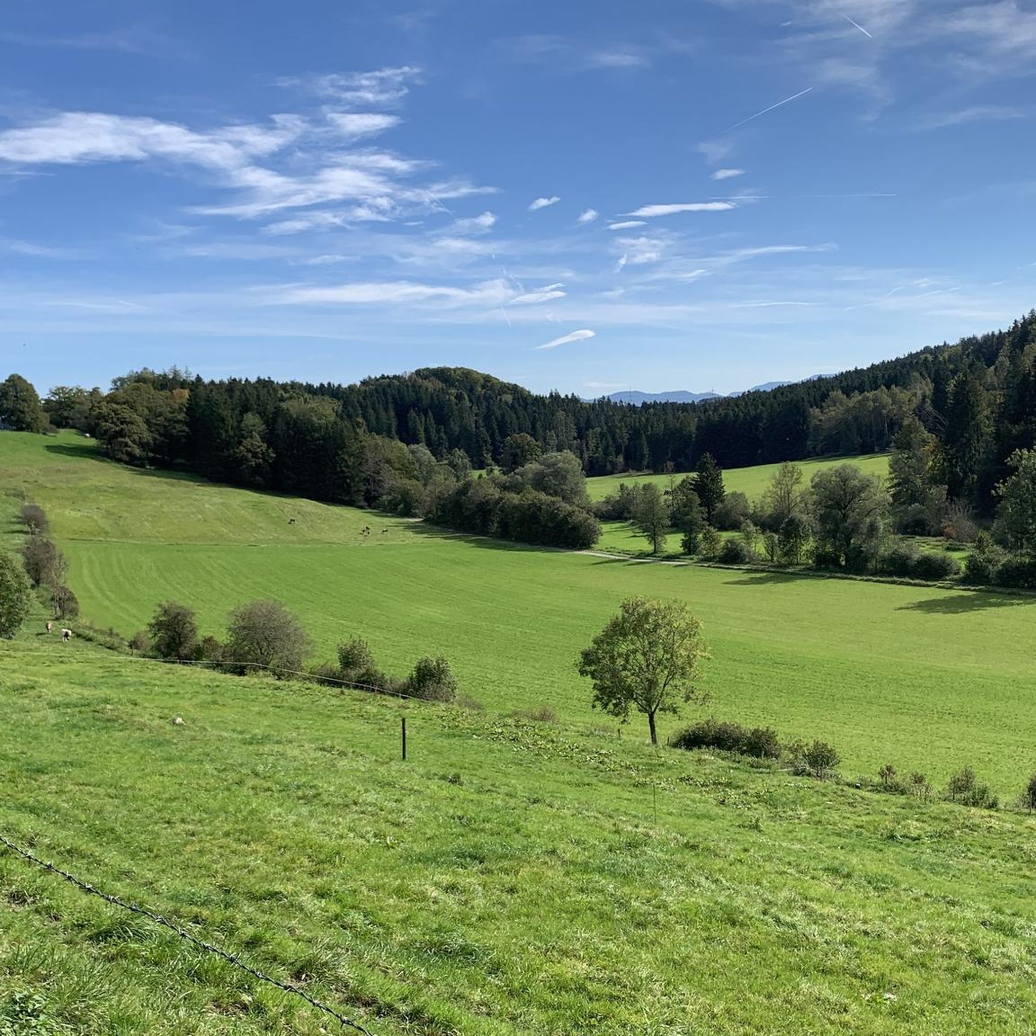
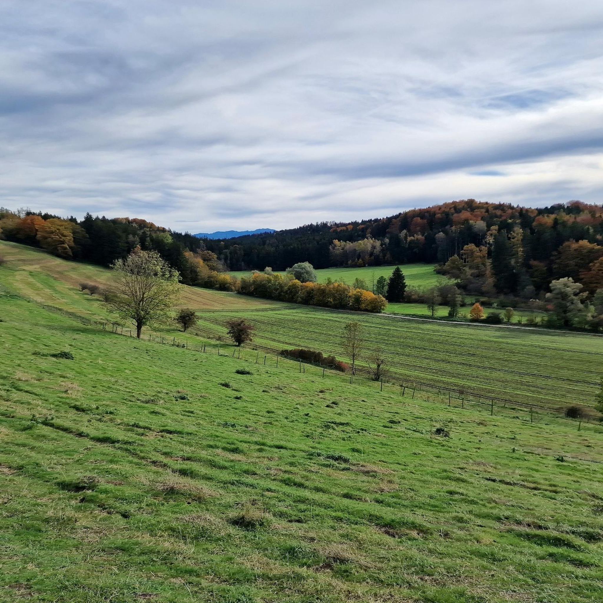
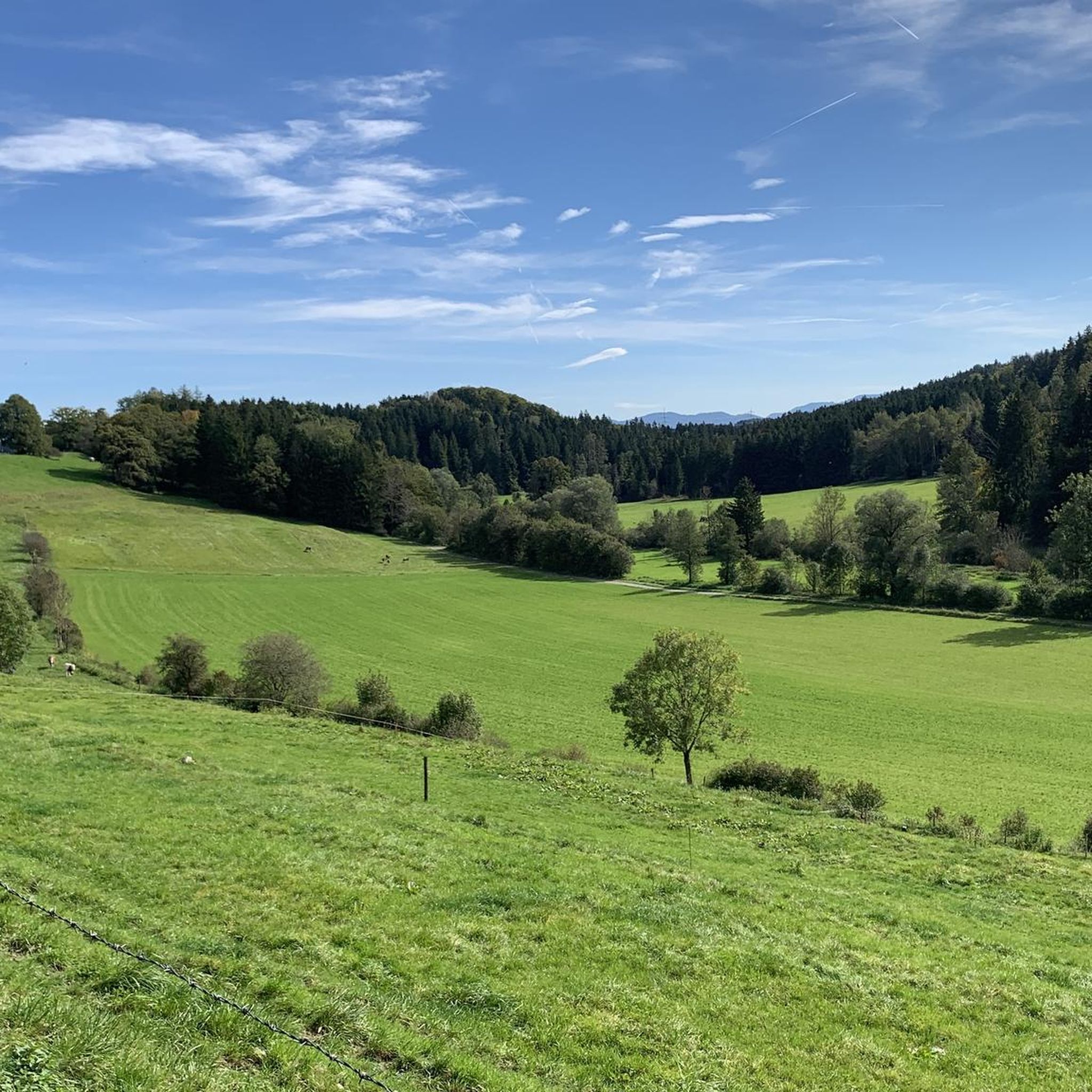
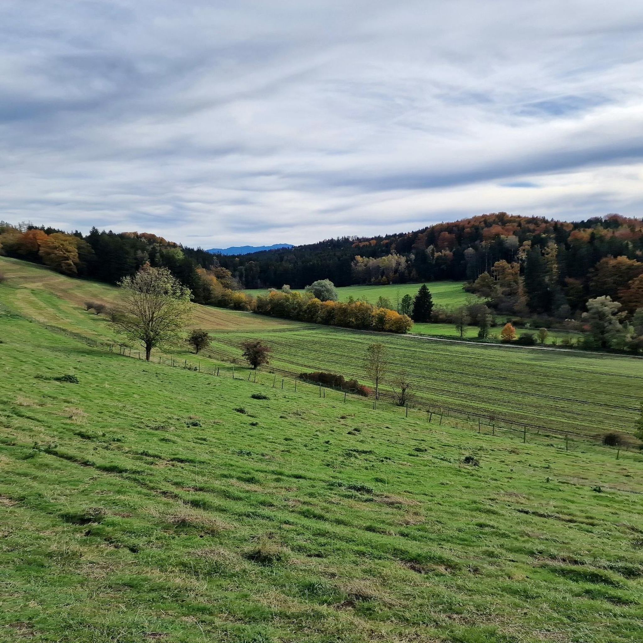
Mountaineering routes around Wielenbach traverse a landscape characterized by rolling hills, serene lakes, and areas of moorland. The region offers varied terrain, from the elevated views of Hohenpeißenberg to tranquil paths around the Ostersee. These routes often lead through forested sections and open countryside, providing diverse experiences for mountaineers.
Best mountaineering routes around Wielenbach
- The most popular mountaineering route is Musikpunkt Peißenberg – View from Hohenpeißenberg loop from Peißenberg, a 6.7 miles (10.9 km) trail that takes 3 hours 26 minutes to complete. This route offers expansive views from Hohenpeißenberg.
- Another top favourite among local mountaineers is Great Ostersee – View of the Ameissee and the moorland loop from Schwaigerinsel, a moderate 5.3 miles (8.6 km) path. This trail features scenic views of the Ameissee and surrounding moorland.
- Local mountaineers also love the Totem Pole at Hoher Peißenberg – View from Hohenpeißenberg loop from Peißenberg, a 7.7 miles (12.4 km) trail leading through the area around Hoher Peißenberg, often completed in about 3 hours 58 minutes.
- Mountaineering around Wielenbach is defined by its hills, lakes, and moorland, offering a mix of natural beauty and varied terrain. The network includes options for easy and moderate ability levels.
- The routes in Wielenbach are highly rated by the komoot community with an average score of 3.9 stars from over 10 reviews. More than 60 mountaineers have used komoot to explore Wielenbach's varied terrain.
Last updated: October 8, 2026
4.9
(9)
34
hikers
10.9km
03:27
390m
390m
Moderate mountaineering route. Good fitness required. Mostly accessible paths. Sure-footedness required.
13
hikers
Moderate mountaineering route. Good fitness required. Easily-accessible paths. Suitable for all skill levels.

3.0
(1)
6
hikers
12.3km
03:58
420m
420m
Moderate mountaineering route. Good fitness required. Mostly accessible paths. Sure-footedness required.
3
hikers
10.3km
02:45
120m
120m
Moderate mountaineering route. Good fitness required. Easily-accessible paths. Suitable for all skill levels.
2
hikers
5.82km
01:32
50m
50m
Easy mountaineering route. Great for any fitness level. Easily-accessible paths. Suitable for all skill levels.
Our route recommendations are based on thousands of hikes, rides, and runs completed by other people on komoot.
Start today with a free account
Your next adventure awaits.
Tips from the Community

Very nice forest bathing spot, not much going on 👍😎💦
0
0

The Hohenpeißenberg Meteorological Observatory is the world's oldest mountain weather station and has been carrying out almost uninterrupted measurements for the German Weather Service since 1781.
2
0
Great view in all directions from Bayrischen Rigi
1
0
Great view of the mountains
1
0
Beautiful view of the Alps mountain range
1
0

An idyllically situated small pond, which, with its calm water surface and surrounding trees, offers a wonderful break from the path.
3
0
A lovely spot by the lake to rest.
2
0
small hidden lake on the edge of the Deixelfurt lakes
2
0
Frequently Asked Questions
How many mountaineering routes are available around Wielenbach?
There are over 5 mountaineering routes around Wielenbach, offering a variety of experiences across the region's rolling hills, serene lakes, and moorland areas.
Are there easy mountaineering routes suitable for beginners in Wielenbach?
Yes, Wielenbach offers a couple of easy mountaineering routes perfect for beginners or those seeking a more relaxed experience. These trails typically feature gentler inclines and well-maintained paths.
What kind of natural attractions can I expect to see along the mountaineering routes?
The routes around Wielenbach often lead through diverse natural landscapes. You might encounter features like the stunning Kiental Gorge, the tranquil Great Ostersee, or the unique Blue Gumpe Spring (Osterseen). Many trails also offer views of the Ammer River.
Are there any circular mountaineering routes around Wielenbach?
Yes, many of the mountaineering routes in Wielenbach are designed as loops, allowing you to start and end at the same point. For example, the Benches at Rüdigerweiher – Vogl Pond loop from Tutzing is a moderate circular trail that takes you through scenic areas.
What do other mountaineers enjoy most about the routes in Wielenbach?
The mountaineering routes in Wielenbach are highly rated by the komoot community, with an average score of 3.9 stars. Reviewers often praise the varied terrain, from elevated views to tranquil lakeside paths, and the mix of forested sections and open countryside.
Are the mountaineering trails around Wielenbach suitable for families?
Many of the routes around Wielenbach, especially the easier ones, are suitable for families. They offer a chance to explore nature together, with paths that are generally well-suited for a family outing. Consider routes with less elevation gain for younger children.
Can I bring my dog on the mountaineering routes in Wielenbach?
Generally, dogs are welcome on the mountaineering trails around Wielenbach. The region's varied landscape of forests, fields, and lakeside paths provides a great environment for walks with your canine companion. Always keep your dog on a leash where required and be mindful of local wildlife and other hikers.
What is the best time of year for mountaineering in Wielenbach?
The best time for mountaineering in Wielenbach is typically from spring through autumn (April to October). During these months, the weather is generally mild, and the trails are clear. Spring brings blooming flora, while autumn offers beautiful fall colors.
Are there any less crowded or 'hidden gem' mountaineering routes in the area?
While popular routes offer stunning views, you can find quieter experiences. Consider exploring the Sulzer Tunnel – Stollenweg at Hoher Peißenberg loop from Peißenberg for a moderate trail that might offer a more secluded feel compared to the more frequented paths.
Are there any historical landmarks or castles near the mountaineering routes?
Yes, the Wielenbach area is rich in history and features several notable landmarks. You might find yourself near Höhenried Castle or Seeseiten Castle, offering a glimpse into the region's past amidst your outdoor adventure.
What are the typical terrain conditions on Wielenbach's mountaineering routes?
The terrain around Wielenbach is quite varied, characterized by rolling hills, forested sections, and open countryside. You'll encounter a mix of well-trodden paths, some gravel sections, and natural forest floors, especially on routes like the Great Ostersee – View of the Ameissee and the moorland loop from Schwaigerinsel.
Most popular routes around Wielenbach
Most popular attractions around Wielenbach

Get inspired with the komoot mobile app


Explore more
Browse the best Mountain Hikes & Routes in other regions.
