The best cycling routes in West Virginia
4.7
(59)
754
riders
90
rides
If you've ever tried to plan touring cycling in West Virginia, you know how quickly the sheer number of options can become overwhelming. With so many trails and scenic roads, it's tough to tell which routes are genuinely worth your time and effort, and which are just filler. That's where we come in. Our komoot community has ridden, reviewed, and mapped these routes, so this guide cuts through the noise to give you a curated shortlist of the very best…
Last updated: May 10, 2026
1
riders
13.6km
01:00
300m
310m
The Fayette Station Road Scenic Drive offers a unique touring cycling experience, plunging you into the heart of the New River Gorge on a historic paved road. You'll navigate steep…
5.0
(2)
7
riders
17.3km
00:59
30m
30m
The Kanawha Boulevard Trail is a fantastic option for a relaxed touring cycling experience, offering continuous riverfront views and a flat, paved surface. You'll glide along the north bank of…

4.0
(2)
5
riders
85.9km
07:58
690m
690m
The North Bend Rail Trail offers a distinctive touring cycling experience through the scenic hills and hollows of West Virginia. As you pedal, you'll pass through long stretches of shaded…
3
riders
31.6km
02:02
290m
270m
The Mon River Trail South offers a delightful touring cycling experience, winding through a picturesque wooded river valley alongside the Monongahela River. You'll find yourself on a well-packed crushed limestone…
3
riders
51.4km
03:22
610m
620m
The Deckers Creek Trail Loop offers a dynamic touring cycling adventure, transitioning from paved urban paths to a well-maintained crushed limestone surface as it winds through West Virginia's varied landscape.…
3.0
(1)
2
riders
68.1km
05:02
450m
450m
Embark on the Shepherdstown and Williamsport C&O Canal Loop for a rugged touring cycling adventure that immerses you in history and natural beauty. This difficult 42.3-mile (68.1 km) route, with…
3
riders
42.6km
02:43
380m
380m
The West Fork River Trail is a delightful journey that follows the meandering West Fork River, offering cyclists a blend of natural beauty and small-town charm. You'll ride through a…
3
riders
11.4km
00:45
140m
140m
The Cheat Lake Trail offers a delightful touring cycling experience, winding along the shores of Cheat Lake on a smooth, crushed limestone path. You'll enjoy continuous, expansive views of the…
5.0
(3)
2
riders
60.7km
03:41
430m
430m
The Martinsburg to Shepherdstown loop offers a delightful touring cycling experience, guiding you through picturesque rural West Virginia. You'll pedal along a mix of paved roads and dedicated cycleways, including…
2
riders
31.1km
01:53
160m
160m
The Wheeling Heritage Trail offers a unique touring cycling experience, blending urban history with natural beauty over its 19.3 miles (31.1 km). This moderate route, which you can complete in…
Get access to more routes and recommendations from other explorers.
Already have an account?
Our route recommendations are based on thousands of hikes, rides, and runs completed by other people on komoot.
Start today with a free account
Your next adventure awaits.
Popular around West Virginia
Other adventures in West Virginia


Tips from the Community

The wheeling waterfront is beautiful. Be sure to check out the giant wooden swing for two. One of two in the northern panhandle, the second is tucked away on a side trail in Thomlinson Run state park New Cumberland Wv. If you’d like to cross or go out on the wheeling suspension bridge, currently closed to car traffic, the most direct route is water st to main but it’s an intense uphill battle. The longer easier way is to go down to 14th, cut across to Market st, turn left and up to 10th. Pretty low, slow traffic and along the way you’ll pass some really good restaurants and a cool plaza area. When you turn on 10th you’re presented with a great full view of the wheeling suspension bridge designed by Roebling.
0
0

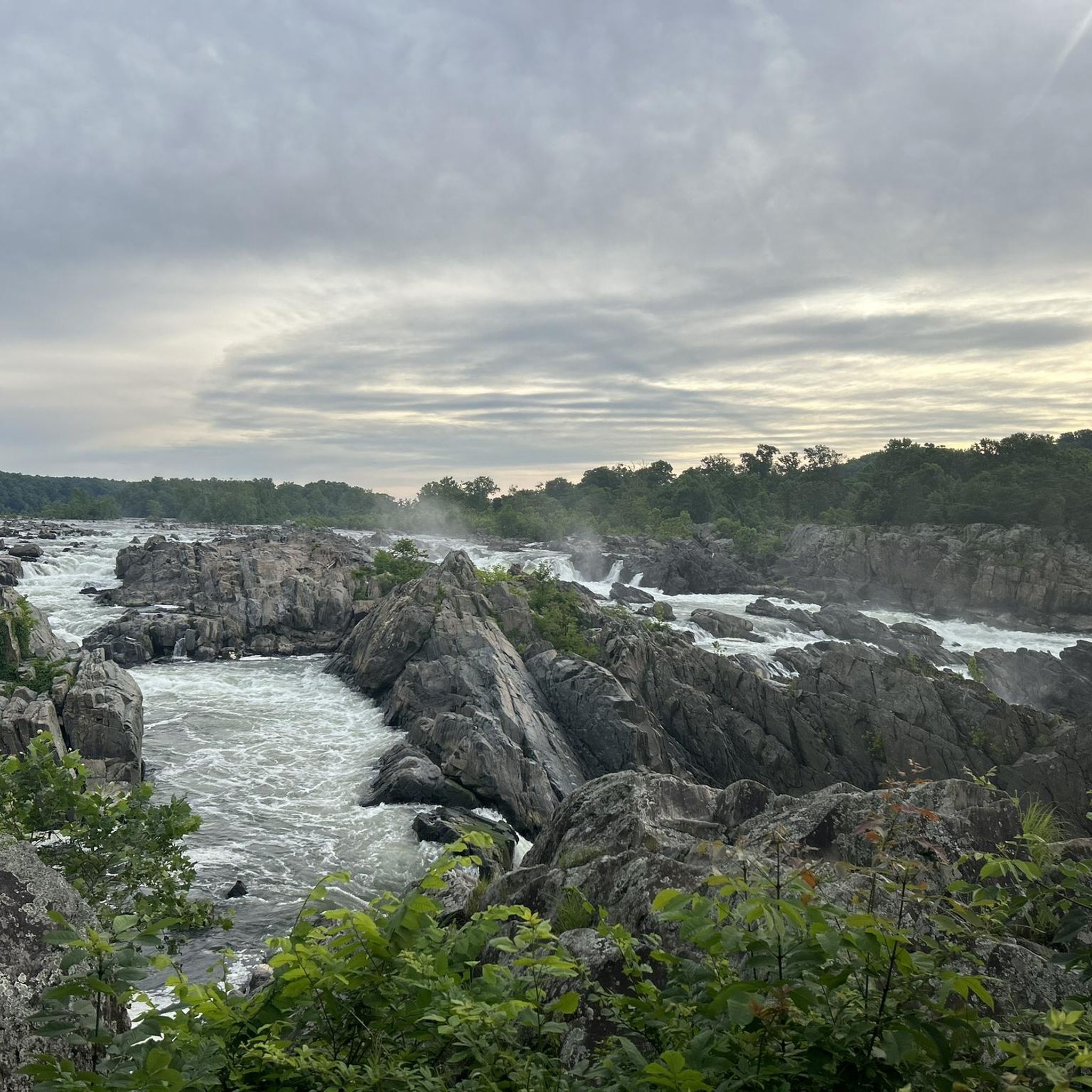
A paved elevated boardwalk stretches out along the water, giving you a fantastic view of the Potomac River. This spot can get pretty popular on summer weekends.
0
0

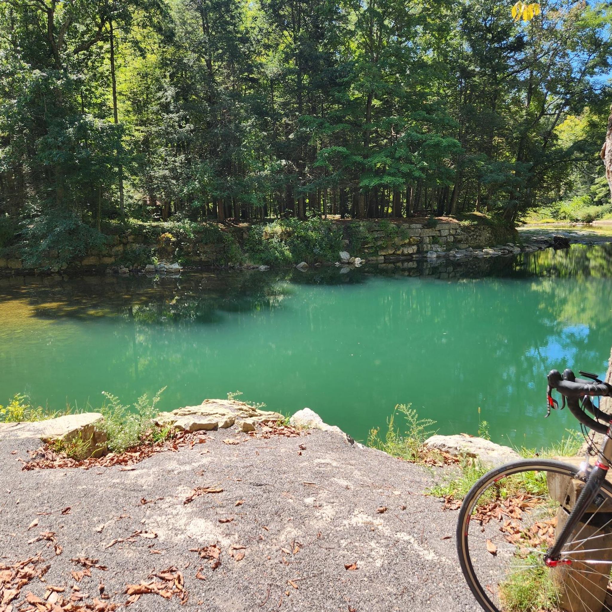
From this spot near McMahon’s Mill, you get great views of Big Slackwater. McMahon’s Mill used a steel wheel in the early 20th century to generate electricity. The mill closed in 1922 after a flood but was later restored by the National Park Service. Downstream from McMahon’s Mill, Big Slackwater marks where canal boats entered the Potomac River, avoiding the rocky cliffs by using pools behind Dam 4 and Dam 5. In 1996, flooding damaged the towpath, making this section impassable for over 15 years. Reconstruction began in 2010, and by 2012, the missing towpath section was restored, allowing visitors to travel the entire 184.5 miles of the C&O Canal once again.
0
0

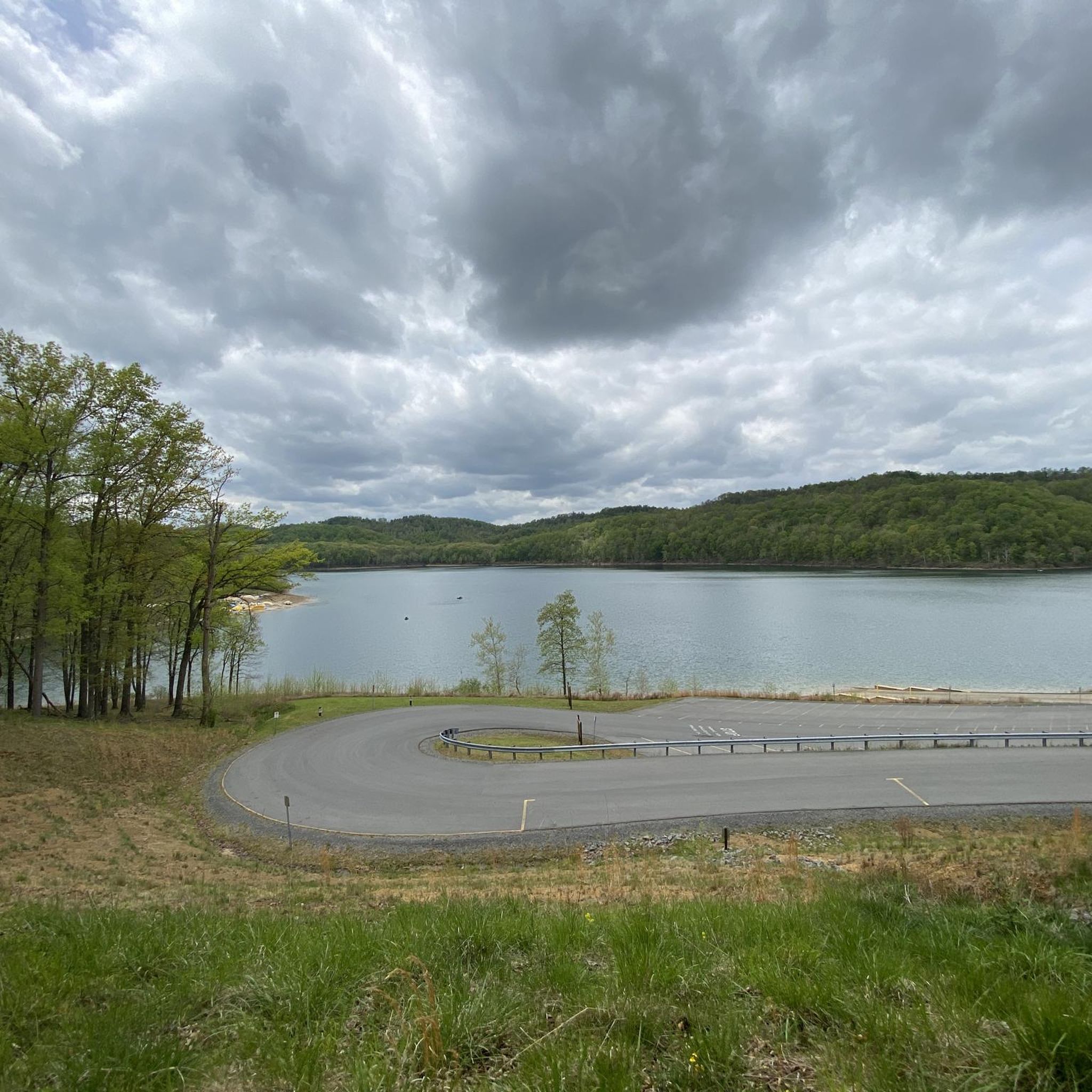
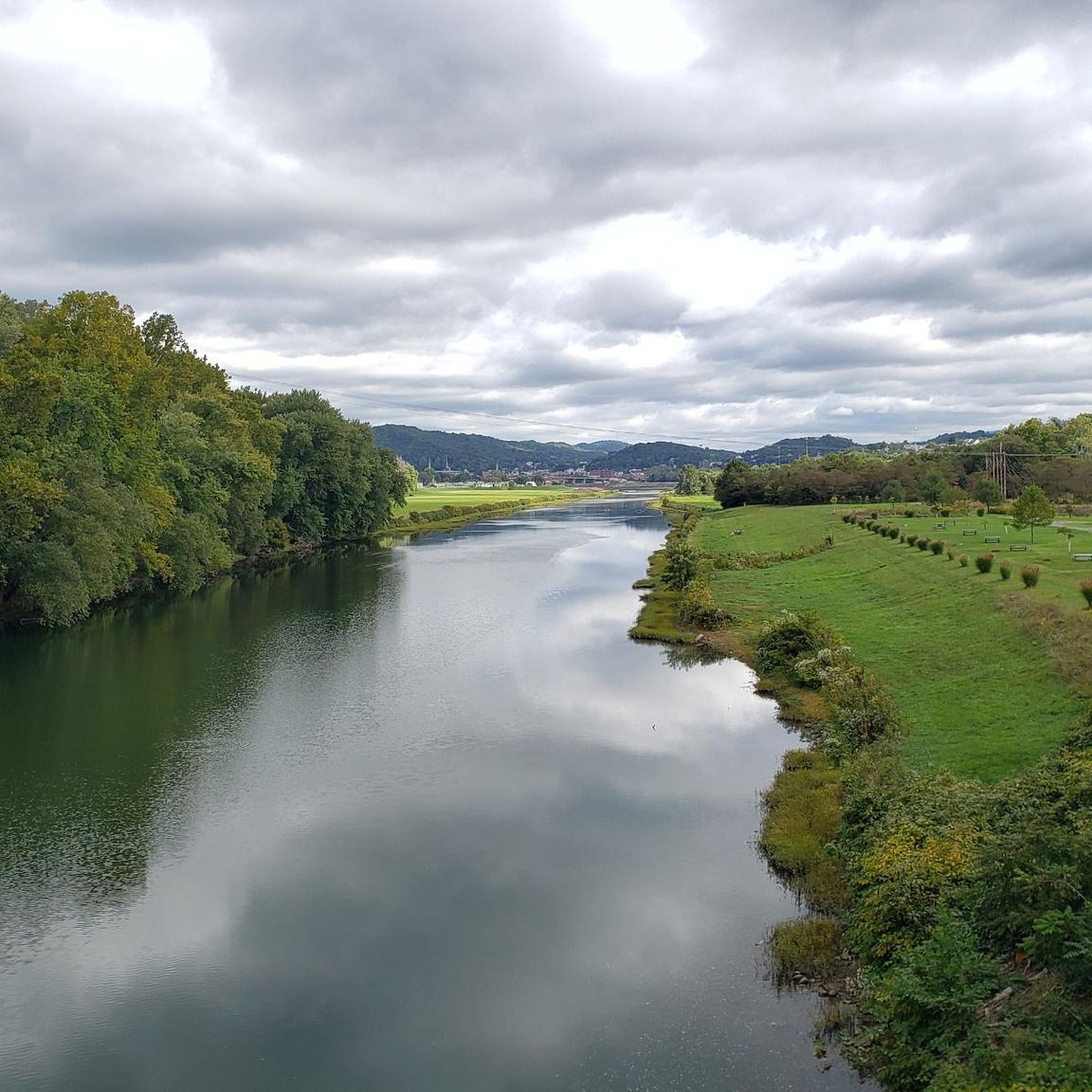
Cheat Lake spans across 1,730 acres and is a man-made reservoir, with certain areas known as "the backwaters," ideal for activities like swimming, canoeing, kayaking, and fishing. At this point, you'll find the end of the Cheat Lake Trail, providing a pleasant spot to pause and enjoy some remarkable views.
0
0
Cheat Lake spans across 1,730 acres and is a man-made reservoir, with certain areas known as "the backwaters", ideal for activities like swimming, canoeing, kayaking, and fishing. At this point, you'll find the end of the Cheat Lake Trail, providing a pleasant spot to pause and enjoy some remarkable views.
1
0

Big Slackwater is a deep, smooth area of the C&O canal. It is the place that canal boats used to be launched into the canal. After a flood destroyed the canal path in 1996, a rasied canal path was reconstructed in 2012. It is now open to the public.
0
0
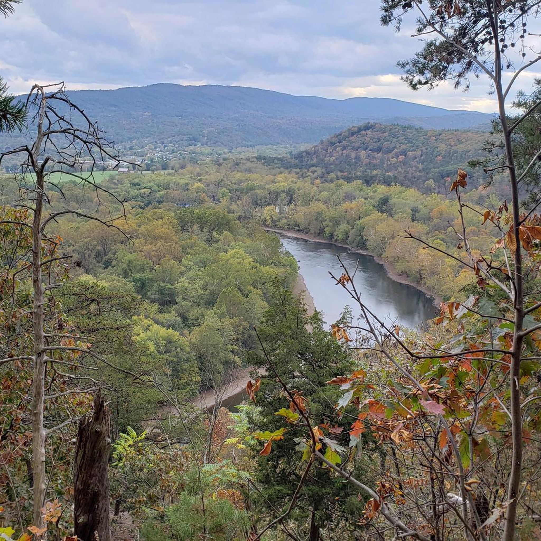
The Mon River Rail Trail South runs from Morgan town to Prickett’s Fort State Park. It is an 18 mile long, wooded trail that follows the Monongahela River and is completely traffic-free.
0
0
Pricketts Fort State Park is a reconstruction of an old colonial fort. The site is open to visitors to learn more about the fort and life at the time. More information can be find at: https://wvstateparks.com/park/pricketts-fort-state-park/
0
0
Frequently Asked Questions
How many touring cycling routes are available in West Virginia?
West Virginia offers a wide variety of touring cycling routes, with over 90 options available. These include 12 easy routes, 50 moderate routes, and 28 difficult routes, catering to different skill levels and preferences.
What are some of the best long-distance touring cycling routes in West Virginia?
For those seeking longer adventures, West Virginia features extensive rail-trails. The North Bend Rail Trail is a challenging 53.4-mile route traversing forests, tunnels, and historical sites. Another excellent option is the Shepherdstown and Williamsport C&O Canal Loop, a difficult 42.3-mile path that provides access to the flat and well-maintained C&O Canal Towpath.
Are there any easy or family-friendly touring cycling routes in West Virginia?
Yes, West Virginia has several easy and family-friendly options. The Kanawha Boulevard Trail is an easy 10.7-mile paved path in Charleston with scenic river views. Another great choice is the Cheat Lake Trail, an easy 7.1-mile route offering beautiful lake views and woodlands. These routes are generally flatter and suitable for all skill levels.
What kind of natural attractions can I see along touring cycling routes in West Virginia?
West Virginia's routes often pass through stunning natural landscapes. You can encounter majestic waterfalls like those at Blackwater Falls State Park, or enjoy panoramic views from spots like Spruce Knob Observation Tower. Many trails also wind through dense forests, past serene lakes such as Lake Sherwood Recreation Area, and unique ecosystems like those found in Sleepy Creek Wildlife Management Area.
Are there any circular touring cycling routes in West Virginia?
While many routes in West Virginia are point-to-point, there are some excellent circular options. The Deckers Creek Trail Loop offers a challenging 31.9-mile ride with significant elevation changes. Another popular loop is the Martinsburg to Shepherdstown loop, a moderate 37.7-mile route that allows you to explore charming towns.
What do other touring cyclists enjoy most about cycling in West Virginia?
The touring cycling experience in West Virginia is highly rated by the komoot community, with an average score of 4.7 stars from over 50 reviews. Cyclists often praise the diverse terrain, from rugged Appalachian mountains to extensive rail-trail networks, and the scenic beauty of river valleys and dense woodlands. The variety of routes caters to all abilities, offering both challenging climbs and more gradual paths.
What is the best time of year for touring cycling in West Virginia?
The spring and autumn months are generally ideal for touring cycling in West Virginia. Spring offers pleasant temperatures and blooming landscapes, while autumn provides spectacular fall foliage, especially in areas like the Monongahela National Forest and Canaan Valley. Summers can be warm and humid, but higher elevations offer cooler rides. Winters are best for snow sports, though some lower elevation paved trails might be accessible.
Are there any touring cycling routes that feature tunnels or historical sites?
Yes, West Virginia's rail-trails are particularly known for incorporating historical elements and unique features. The North Bend Rail Trail, for instance, traverses multiple tunnels and historical sites along its 53.4-mile length. The Greenbrier River Trail, while not listed in the top routes, is also famous for its 500-foot-long Sharps Tunnel and historical significance as a former railway line.
Which touring cycling routes offer scenic river views?
Many of West Virginia's touring cycling routes follow river valleys, providing picturesque views. The Mon River Trail South is a 19.6-mile trail that leads directly through river valleys. The Kanawha Boulevard Trail also offers pleasant river views in Charleston. Additionally, the Wheeling Heritage Trail provides scenic river vistas along its 19.3-mile path.
Are there any bike-friendly towns in West Virginia that are good starting points for touring cyclists?
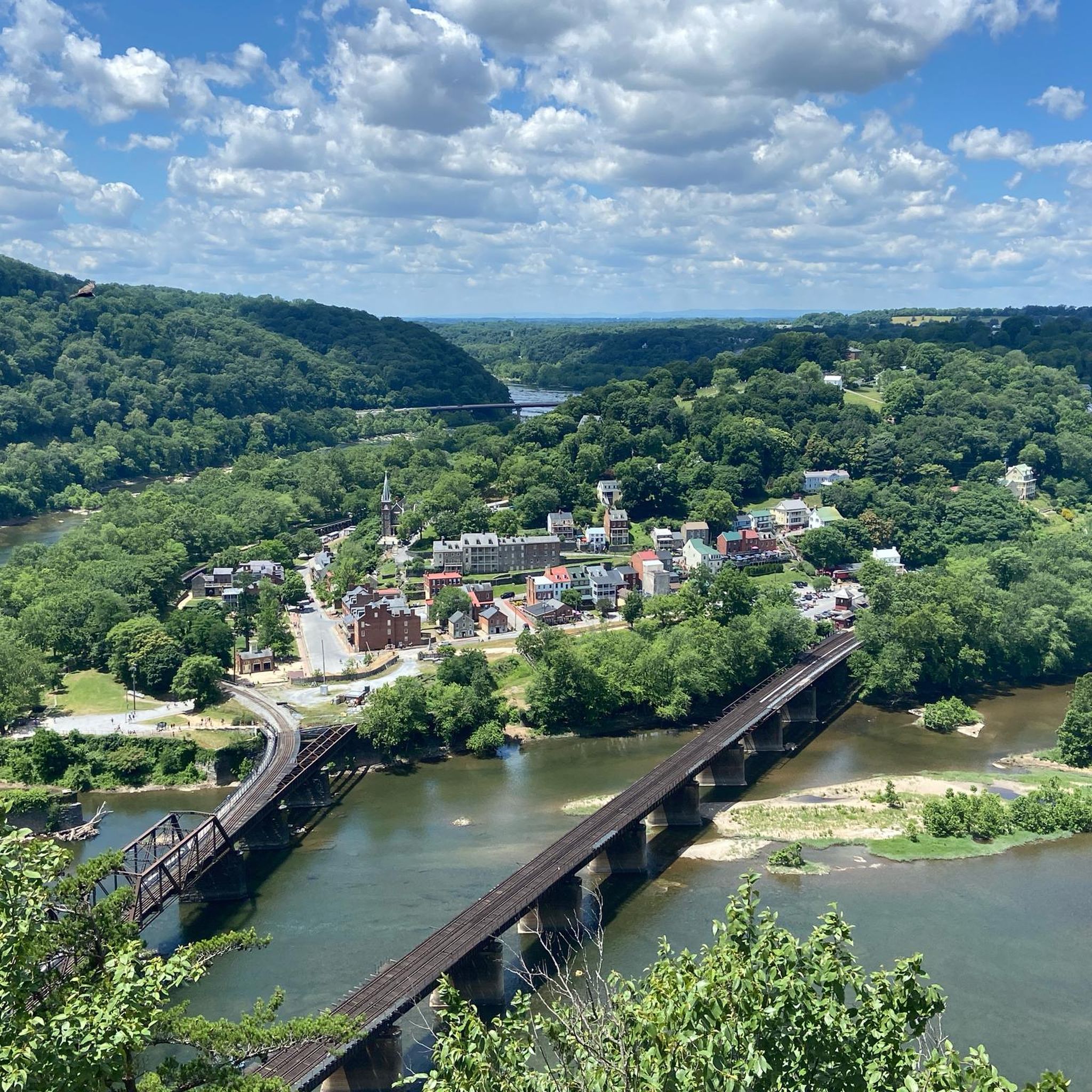
Several towns in West Virginia are excellent hubs for touring cyclists. Shepherdstown, the oldest town in West Virginia, offers a historic district and access to the C&O Canal Towpath. Harpers Ferry, at the confluence of the Potomac and Shenandoah rivers, also provides access to the C&O Canal Towpath. Davis is a gateway to rugged landscapes in Canaan Valley and the Monongahela National Forest, while Fayetteville is known as the gateway to the New River Gorge.
What are some challenging touring cycling routes for experienced riders in West Virginia?
Experienced touring cyclists will find plenty of challenging routes in West Virginia. The North Bend Rail Trail is a difficult 53.4-mile route with significant elevation changes. Another demanding option is the Shepherdstown and Williamsport C&O Canal Loop, a difficult 42.3-mile path. Many routes in the Appalachian mountains feature challenging climbs and twisting descents, rewarding fit cyclists with beautiful vistas.
Can I find routes that offer a mix of natural beauty and historical exploration?
Absolutely. West Virginia's history is deeply intertwined with its landscape. The Fayette Station Road Scenic Drive, though moderate, offers a journey through the New River Gorge, a site of significant natural and industrial history. Many rail-trails, like the West Fork River Trail, follow historic railway lines, providing glimpses into the state's past while surrounded by nature.
Most popular routes in West Virginia
Most popular attractions in West Virginia

Get inspired with the komoot mobile app


Didn’t find what you were looking for?
Check out more Cycling routes throughout West Virginia below and find the perfect route in your destination.
Explore more
Browse the best Cycling routes in other regions.
