The best walks and hikes around South Lakeland
4.6
(20624)
168,655
hikers
2,957
hikes
Hiking trails around South Lakeland, located within the Lake District National Park, offer a diverse landscape for outdoor activities. The region features majestic peaks and fells, serene lakes such as Windermere and Coniston Water, and extensive forests. This varied terrain includes challenging mountain ascents, rolling hills, and tranquil lakeside paths.
Best hiking trails in South Lakeland
- The most popular hiking route is Fairfield Horseshoe from Ambleside — Lake District National Park, a 10.9 miles (17.7 km) trail that takes about 6 hours to complete. This difficult route features significant elevation gain and panoramic views of the fells.
- Another top favourite among local hikers is Kentmere Horseshoe, a difficult 11.7 miles (18.8 km) path. This challenging route covers high fells and offers expansive vistas across the landscape.
- Local hikers also love the The Langdale Pikes - Pavey Ark, Thunacar Knott and Pike of Stickle, a 7.2 miles (11.7 km) trail leading through dramatic peak scenery, often completed in about 4 hours 24 minutes.
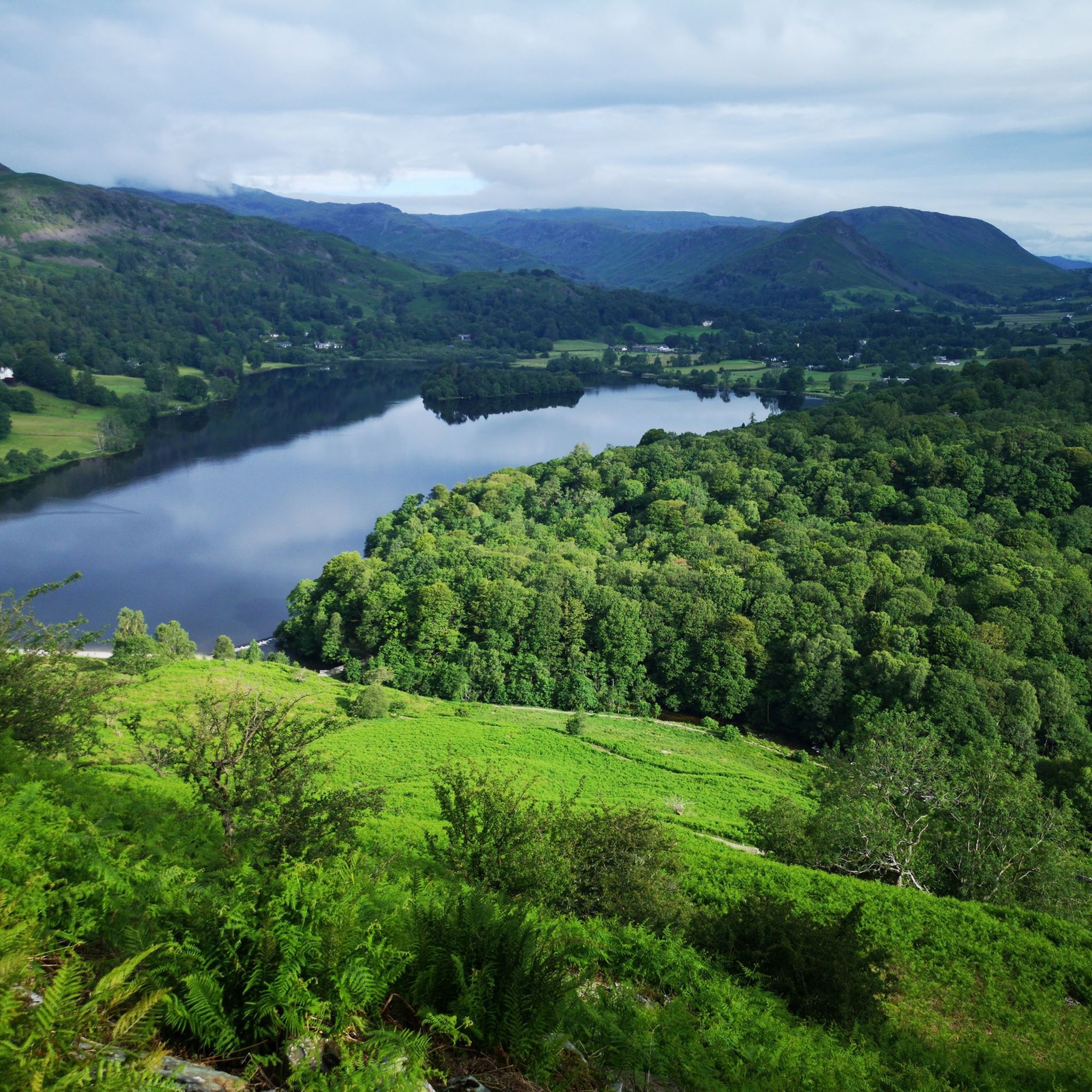
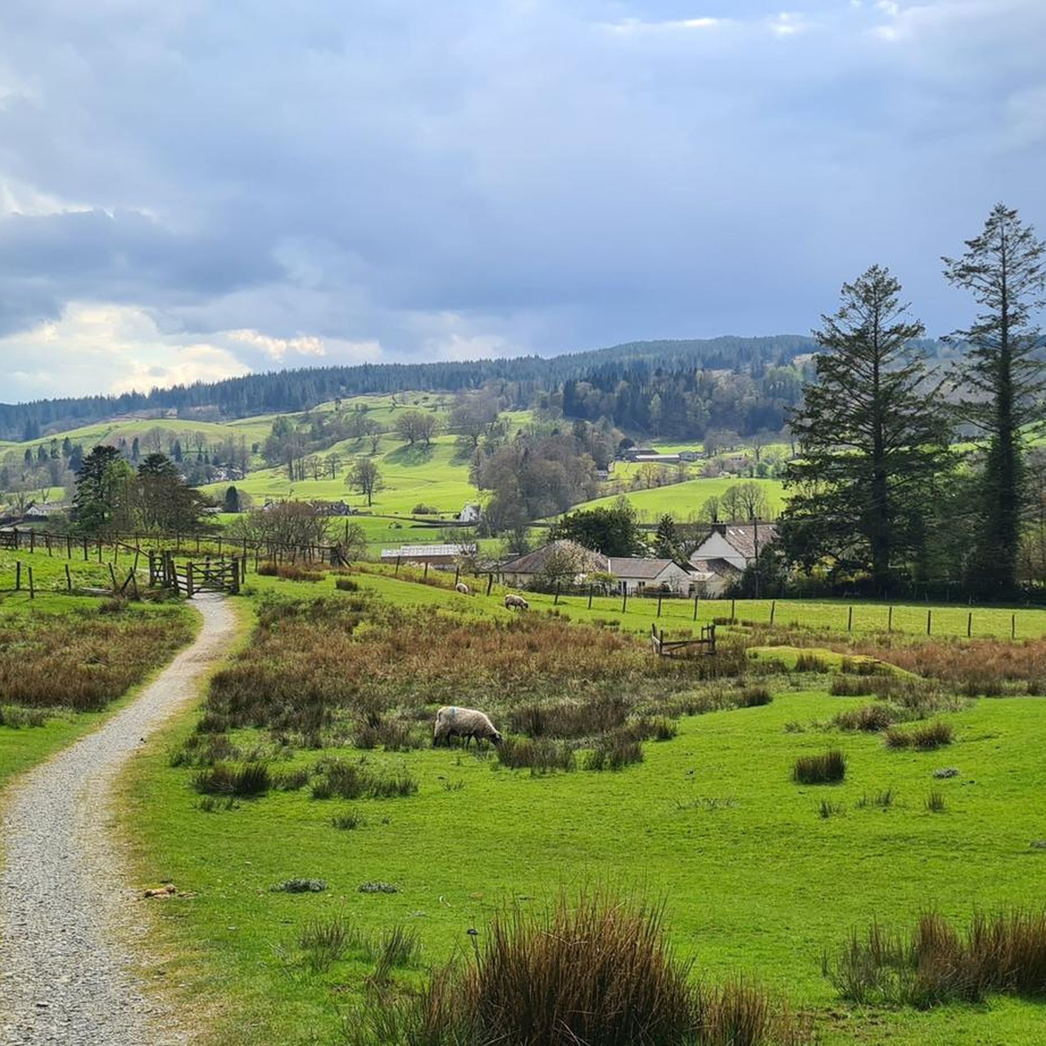
- Hiking around South Lakeland is defined by majestic peaks, serene lakes, and lush forests. The extensive network of routes offers options for various ability levels, from easy lakeside strolls to strenuous mountain climbs.
- The routes in South Lakeland are highly rated by the komoot community with an average score of 4.6 stars from over 17,000 reviews. More than 150,000 hikers have used komoot to explore South Lakeland's varied terrain.
Last updated: September 26, 2026
4.8
(513)
4,076
hikers
17.7km
06:01
890m
890m
Hard hike. Very good fitness required. Mostly accessible paths. Sure-footedness required.
4.7
(120)
869
hikers
11.7km
04:23
730m
730m
Hard hike. Good fitness required. Sure-footedness, sturdy shoes and alpine experience required.

4.7
(95)
1,074
hikers
18.8km
06:22
930m
930m
Hard hike. Very good fitness required. Mostly accessible paths. Sure-footedness required.
4.8
(205)
871
hikers
7.37km
02:26
300m
300m
Moderate hike. Good fitness required. Easily-accessible paths. Suitable for all skill levels.
4.6
(66)
686
hikers
19.4km
07:18
1,070m
1,070m
Hard hike. Very good fitness required. Mostly accessible paths. Sure-footedness required.
4.4
(119)
425
hikers
10.2km
03:32
420m
420m
Hard hike. Good fitness required. Sure-footedness, sturdy shoes and alpine experience required.
4.8
(116)
415
hikers
10.2km
02:56
250m
250m
Moderate hike. Good fitness required. Mostly accessible paths. Sure-footedness required.
4.5
(51)
256
hikers
Moderate hike. Good fitness required. Easily-accessible paths. Suitable for all skill levels.
4.7
(55)
567
hikers
3.19km
00:51
40m
40m
Easy hike. Great for any fitness level. Easily-accessible paths. Suitable for all skill levels.
4.7
(98)
356
hikers
14.0km
04:03
350m
350m
Moderate hike. Good fitness required. Mostly accessible paths. Sure-footedness required.
Get access to more routes and recommendations from other explorers.
Already have an account?
Our route recommendations are based on thousands of hikes, rides, and runs completed by other people on komoot.
Start today with a free account
Your next adventure awaits.
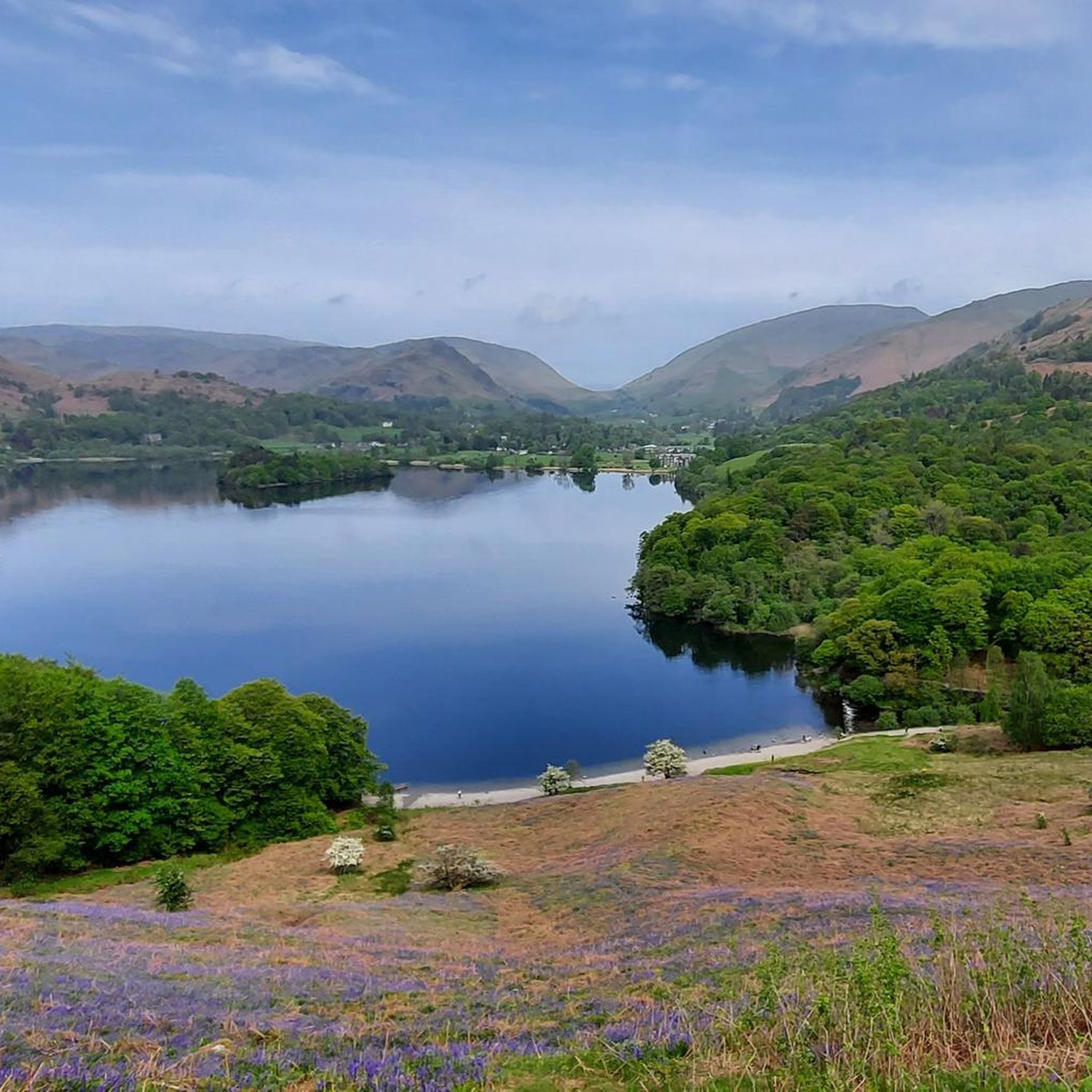
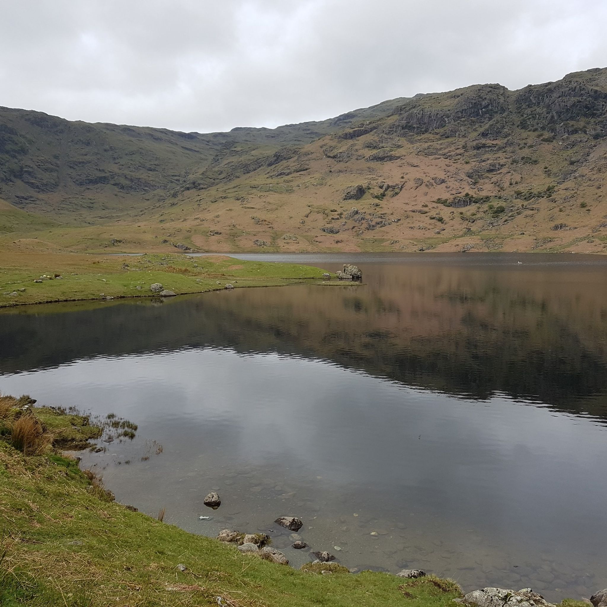
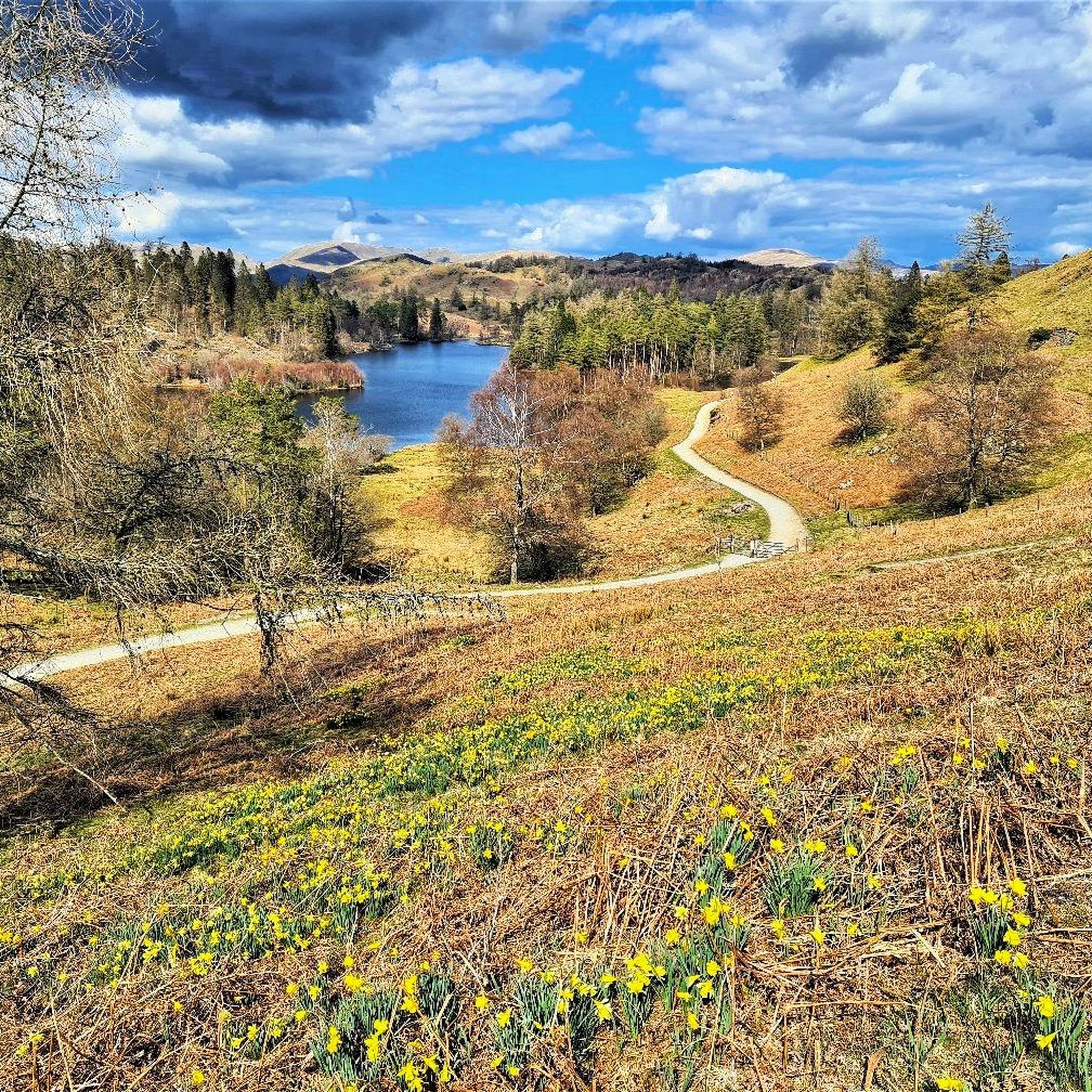
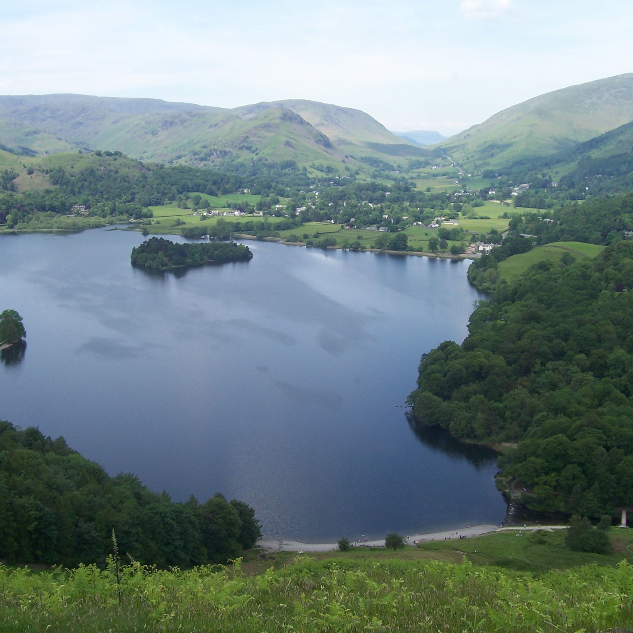
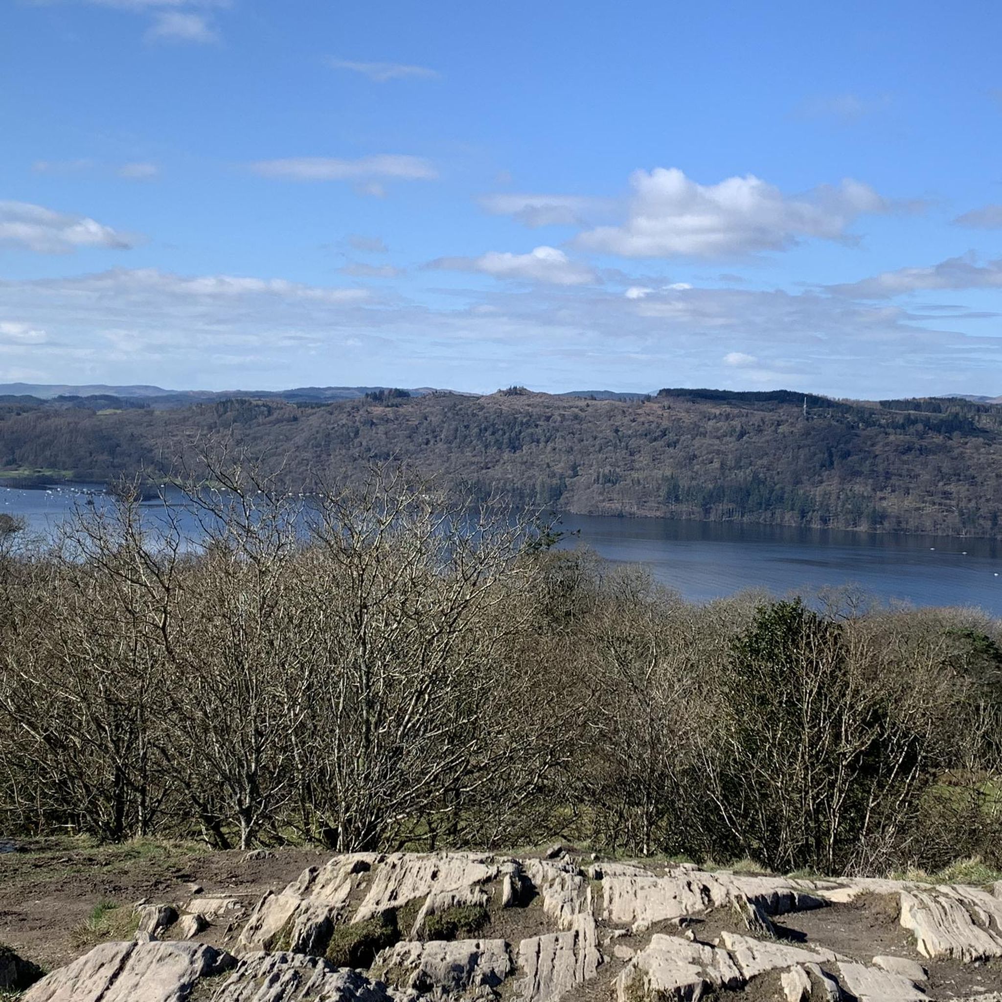
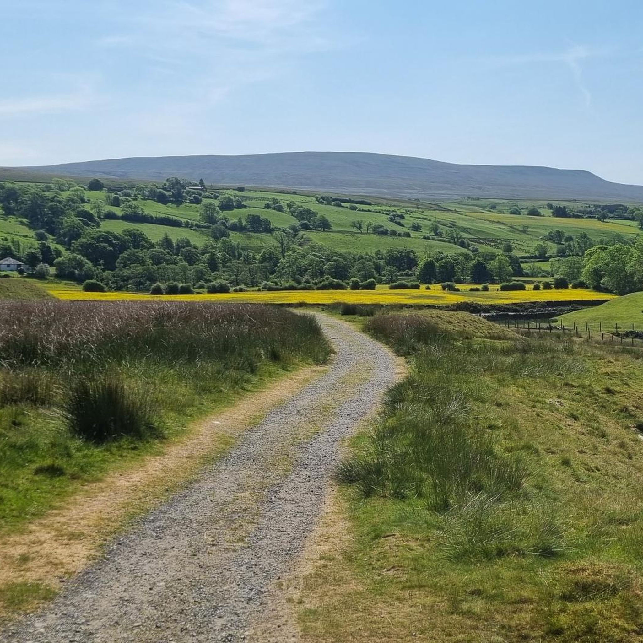
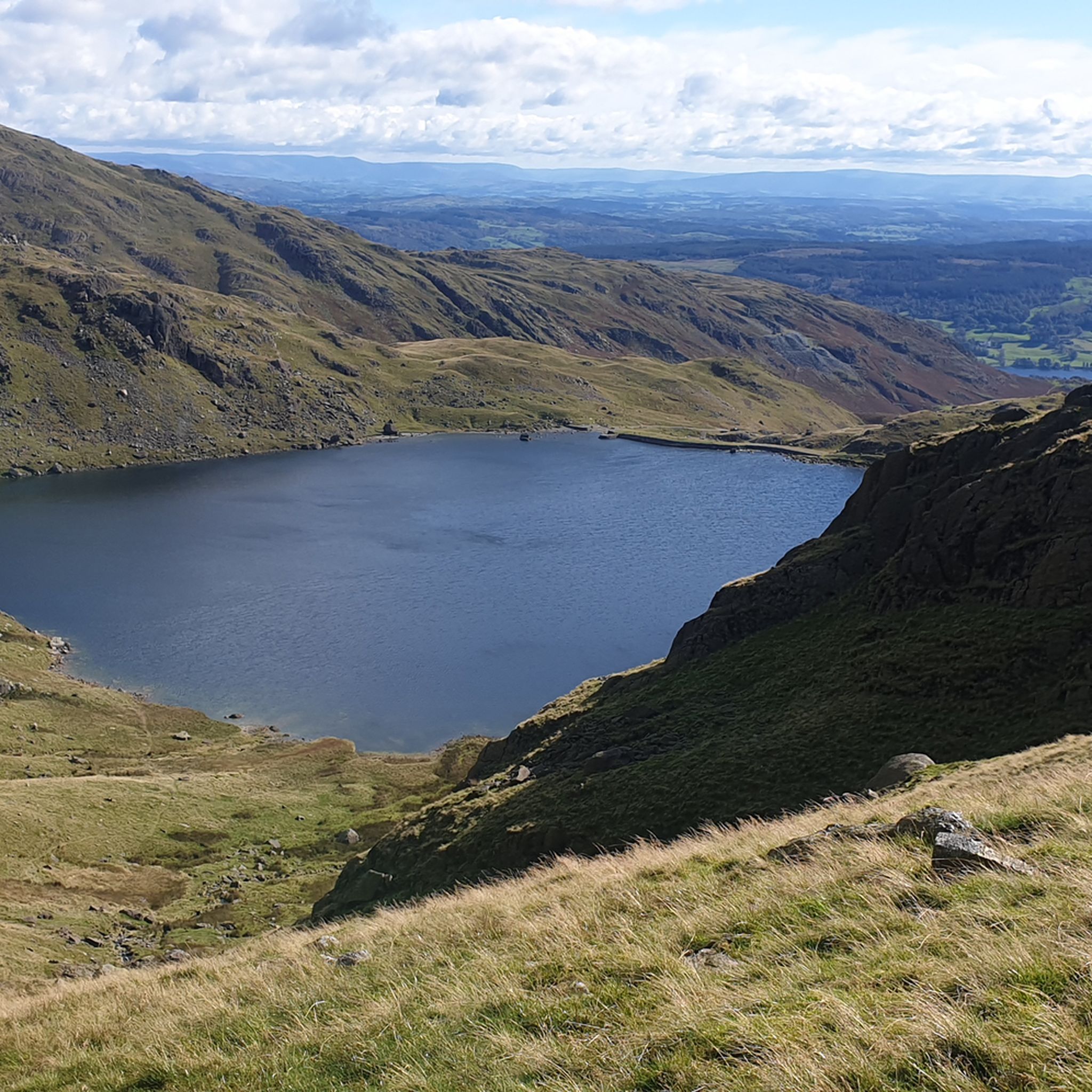
Other adventures around South Lakeland


Tips from the Community

Stepped climb up, with a tougher climb near the top. Easier descent on stepped paths.
0
0

To describe this mountain, here is a quote: "Although cruelly scarred and disfigured by the quarries, the Old Man has retained a dignified bearing and still lifts his proud and venerable head to the sky. His tears flow quietly into Low Water and Goats Water, two beautiful mountain tarns, whence they eventually... find their way to Coniston Water, bathing his ancient feet." Alfred Wainwright, "A Pictorial Guide to the Lakeland Fells, Book Four: The Southern Fells"
5
0
The ruins of Saddlestone Mill are fascinating, derelict remnants of the old "Coniston slate and copper mines" on the northeastern flank of the Old Man of Coniston. The site is located approximately 2 km west of the village of Coniston and includes huge steel cables, old railway tracks, winding gear, buildings, and abandoned quarry tunnels.
7
0

Bowfell has got a great hikers' pedigree for a reason. It has a distinctive, pyramid-shaped peak, and at 902 metres (2,959 feet), it is England's sixth-highest mountain. It is noted for the great scramble that is the climber's traverse. From its rocky, boulder-strewn top you have sweeping panoramic views across to Scafell Pike and the Langdale valley.
0
0
Very much one of the iconic mountains of the Lake District, Wetherlam is a rugged 763-metre (2,502 ft) mountain top, and getting here is pretty hard work from any direction. It has a rocky summit plateau, and the views across towards the Coniston group are super nice. Now for the big decent!
0
0
Coming to Swirl How from Great Carr is an easy affair; getting to it from Wetherlam is a different matter. If you come in from that direction, you are in for a good scramble on the 'Prison Band' section of the approach. To be honest, I would rather come up it than down it, as it looked like a fun scramble. There is a decent cairn on the top of Swirl How, and the views across to Wetherlam are great.
0
0
Pike of Stickle is a great rocky outcrop of rock with a decent scramble to get to the top. There are rock steps going up the lower slope on the first part, and then there are two ways to scramble up to the top. You can go around to the right, which is supposed to be the easiest way, but I found going up direct to be fine. It requires you to use both your hands and feet, but there are plenty of holds. There are super views across to Loft Crag, Harrison Stickle, and the peaks surrounding the entire Mickleden Valley.
0
0
Froswick sits at 720 metres (2,360 feet) and is a marvellous grassy pyramid-shaped fell. It doesn't have a rocky top, and the summit is marked by a small cairn. It is commonly hiked as part of the Kentmere Horseshoe. The best thing about it is that it is a non-technical peak, and there is a great trail running over the entire ridge. The views here are super nice looking out over the Kentmere Reservoir and the Troutbeck Valley.
0
0
Frequently Asked Questions
How many hiking trails are available in South Lakeland?
South Lakeland offers a vast network of nearly 3,000 hiking trails. These routes cater to all abilities, with over 1,200 easy trails, more than 1,400 moderate options, and over 300 challenging routes for experienced hikers.
Are there easy, family-friendly hiking options in South Lakeland?
Yes, South Lakeland is home to many easy and family-friendly walks. Locations like Grasmere offer delightful lakeside strolls, and Fell Foot Park near Windermere provides beautiful gardens and low-level walks. A particularly accessible option is the Around Tarn Hows route, which is an easy 3.2 km loop perfect for a leisurely outing.
What are some challenging hikes in South Lakeland?
For those seeking a challenge, South Lakeland boasts several demanding routes. The Scafell Pike and Bowfell Loop from Great Langdale is a difficult 19.4 km trail with significant elevation gain. Other strenuous options include the Langdale Pikes, offering dramatic peak scenery.
Can I find hikes with waterfalls in South Lakeland?
Absolutely. South Lakeland features several cascading waterfalls that can be incorporated into your hikes. Notable waterfalls include Skelwith Force, Stock Ghyll Force, and Tom Ghyll Waterfalls. For a more immersive experience, consider exploring the Stickle Ghyll Waterfalls.
What kind of natural attractions can I see while hiking in South Lakeland?
Beyond the stunning fells and lakes, South Lakeland offers a variety of natural attractions. You can explore unique geological features like Rydal Cave, or enjoy panoramic views from summits such as Old Man of Coniston summit and Loughrigg Fell summit. The region's serene lakes like Windermere and Coniston Water also provide picturesque backdrops.
Are there dog-friendly hiking trails in South Lakeland?
Many trails in South Lakeland are dog-friendly, allowing you to enjoy the stunning scenery with your canine companion. However, it's important to keep dogs on a lead, especially in areas with livestock, and to follow the Countryside Code. Always check specific route details for any restrictions.
What is the best time of year to go hiking in South Lakeland?
The best time to hike in South Lakeland is generally from spring to autumn (April to October) when the weather is milder and daylight hours are longer. Summer offers the warmest temperatures, but can also be busier. Spring and autumn provide beautiful scenery with fewer crowds, though weather can be unpredictable, requiring appropriate gear.
Are there options for long-distance hiking in South Lakeland?
Yes, South Lakeland forms part of the Lake District National Park, which includes sections of longer routes. For experienced hikers, portions of the 192-mile 'Wainwright's Coast to Coast Walk' pass through the area, offering a significant long-distance challenge.
How accessible are South Lakeland hiking trails by public transport?
Many popular starting points for hikes in South Lakeland, such as Ambleside, Grasmere, and Coniston, are accessible by public transport, primarily buses. Services connect these towns to larger transport hubs. It's advisable to check local bus timetables in advance, especially for routes reaching more remote trailheads.
Are there hiking routes with parking available?
Yes, most trailheads and popular hiking areas in South Lakeland offer designated parking facilities, though some may be paid car parks. Towns like Ambleside and Grasmere have multiple parking options. For example, routes like the Monk Coniston and Tarn Hows Trail often have nearby parking.
What do other hikers say about the trails in South Lakeland?
The hiking trails in South Lakeland are highly rated by the komoot community, with an average score of 4.6 stars from over 17,000 reviews. Hikers frequently praise the diverse terrain, from majestic peaks to serene lakes, and the well-maintained paths that offer stunning panoramic views.
Where can I find refreshments or accommodation near the trails?
Charming towns and villages like Ambleside, Grasmere, and Kendal are dotted throughout South Lakeland and offer a range of amenities. You'll find numerous cafes, pubs, and accommodation options, from cozy B&Bs to hotels. Some trails even have facilities directly on route, such as the Sticklebarn pub in Langdale.
Are there any circular hiking routes in South Lakeland?
Yes, South Lakeland features many excellent circular hiking routes. The Helm Crag loop from Grasmere is a moderate 7.4 km circular trail. Another popular option is the Rydal Cave, Loughrigg Fell & Grasmere loop, which is a difficult 10.2 km circuit offering varied scenery.
Most popular routes around South Lakeland
Most popular attractions around South Lakeland

Get inspired with the komoot mobile app


Didn’t find what you were looking for?
Check out more Hikes throughout South Lakeland below and find the perfect route in your destination.
Explore more
Browse the best Hikes in other regions.
