The best running trails around South Lakeland
4.5
(506)
42,808
runners
2,135
runs
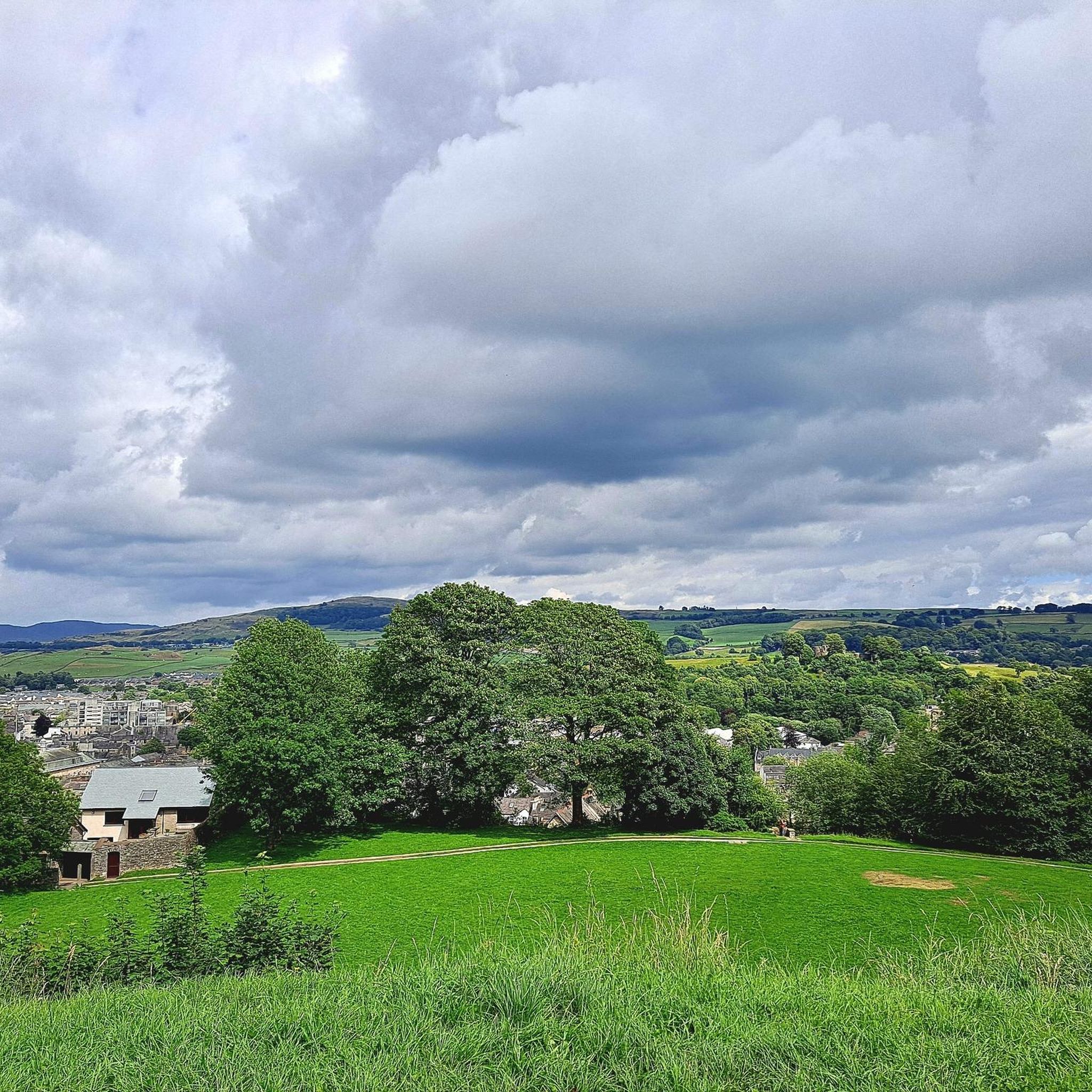
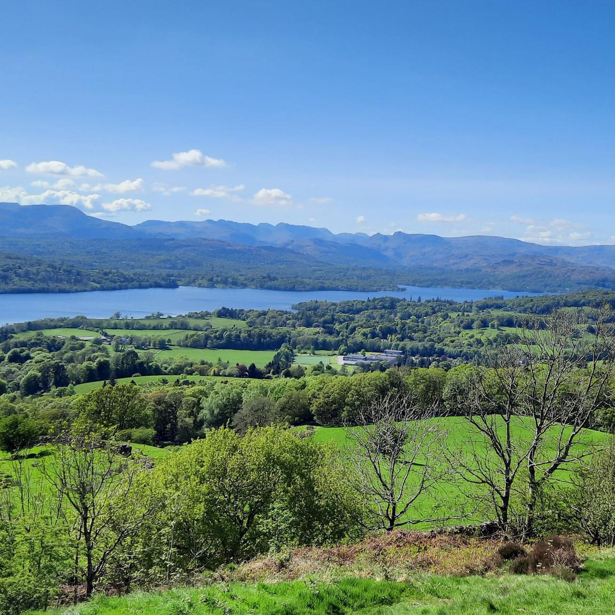
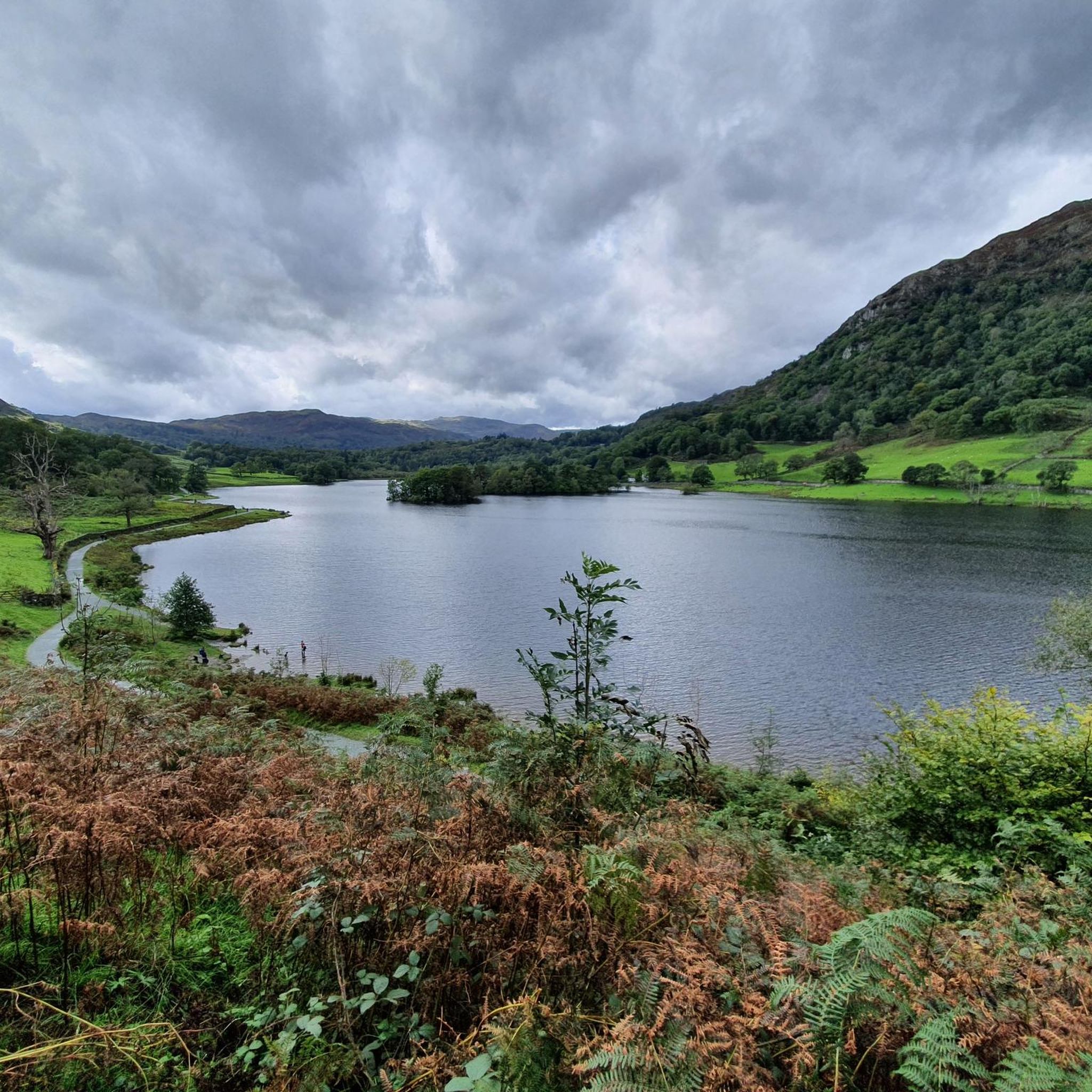
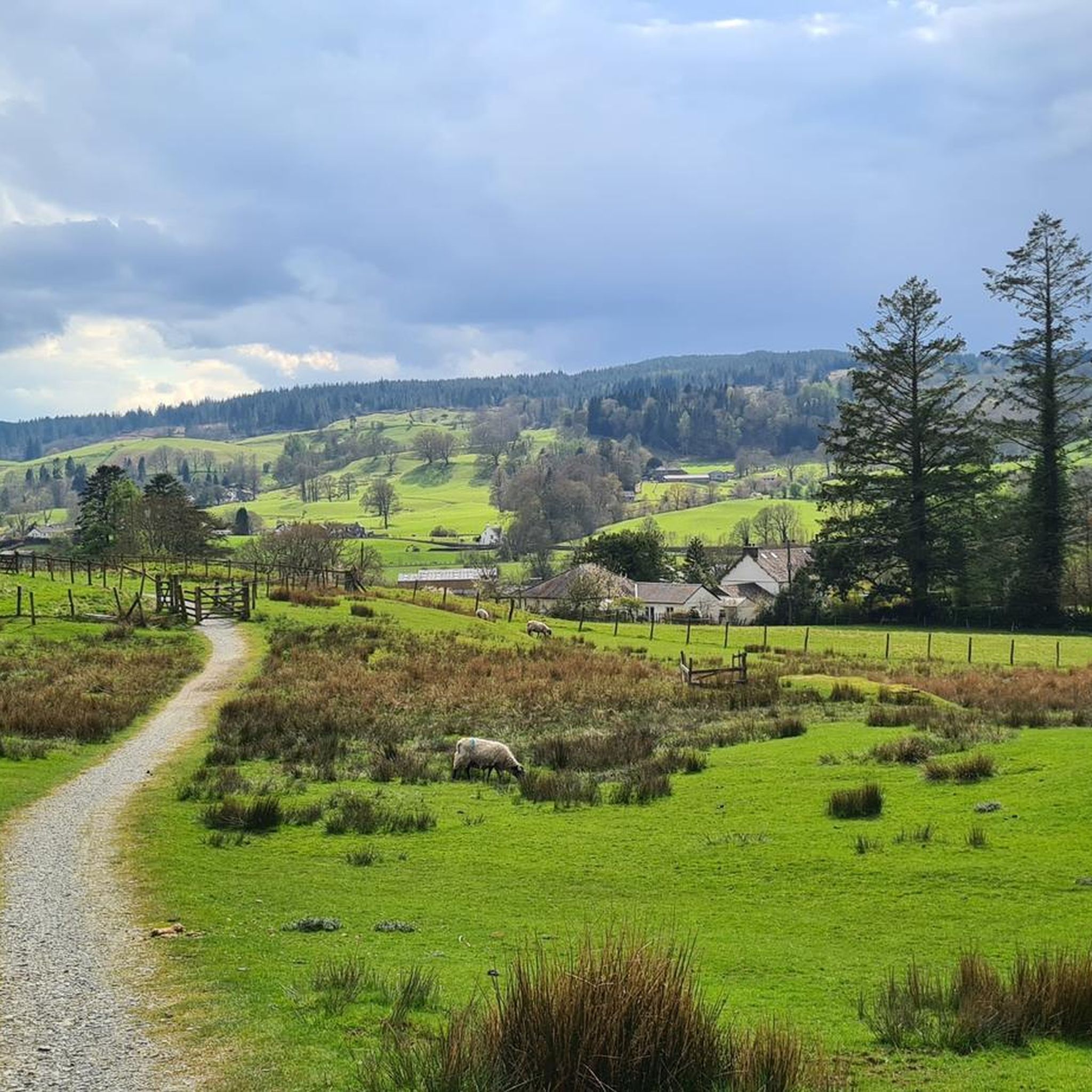
Jogging around South Lakeland offers diverse terrain within the Lake District National Park and parts of the Yorkshire Dales National Park. The region features a variety of landscapes, including majestic fells, tranquil lakeshores, and fertile river valleys. Upland districts and lower hills provide varied elevations, with some western and eastern uplands rising to between 1,500 and 3,000 feet. This varied topography ensures a range of running experiences, from gentle paths to challenging climbs.
Best jogging routes around South Lakeland
- The most popular jogging route is Fairfield Horseshoe from Ambleside, a 11.0 miles (17.7 km) trail that takes 2 hours 36 minutes to complete. This difficult route offers challenging climbs and panoramic views of the fells.
- Another top favourite among local runners is Grasmere and Rydal Water loop — Lake District National Park, a moderate 5.8 miles (9.4 km) path. This route features tranquil lakeshores and scenic paths through the national park.
- Local runners also love the The Old Man of Coniston & Wetherlam loop from Coniston, an 8.6 miles (13.8 km) trail leading through prominent peaks, often completed in about 2 hours 2 minutes.
- Jogging around South Lakeland is defined by majestic fells, tranquil lakeshores, and fertile river valleys. The network offers options for various ability levels, from moderate paths to difficult mountain ascents.
- The routes in South Lakeland are highly rated by the komoot community with an average score of 4.5 stars from over 400 reviews. More than 40000 runners have used komoot to explore South Lakeland's varied terrain.
Last updated: August 17, 2026
4.0
(6)
915
runners
17.7km
02:36
870m
870m
Hard run. Very good fitness required. Sure-footedness, sturdy shoes and alpine experience required.
4.7
(7)
314
runners
9.37km
01:07
150m
150m
Moderate run. Good fitness required. Mostly accessible paths. Some sure footedness required.

Sign up for free
162
runners
13.8km
02:02
930m
930m
Hard run. Very good fitness required. Mostly paved surfaces. Suitable for all skill levels.
4.7
(3)
124
runners
Hard run. Very good fitness required. Mostly paved surfaces. Suitable for all skill levels.
3.5
(6)
38
runners
Moderate run. Good fitness required. Mostly paved surfaces. Suitable for all skill levels.
5.0
(1)
39
runners
Hard run. Very good fitness required. Sure-footedness, sturdy shoes and alpine experience required.
31
runners
Hard run. Very good fitness required. Sure-footedness, sturdy shoes and alpine experience required.
5.0
(1)
25
runners
8.88km
01:38
700m
700m
Hard run. Very good fitness required. Sure-footedness, sturdy shoes and alpine experience required.
25
runners
Hard run. Very good fitness required. Sure-footedness, sturdy shoes and alpine experience required.
17
runners
Hard run. Very good fitness required. Sure-footedness, sturdy shoes and alpine experience required.
Get access to more routes and recommendations from other explorers.
Sign up for free
Already have an account?
Our route recommendations are based on thousands of hikes, rides, and runs completed by other people on komoot.
Start today with a free account
Your next adventure awaits.
Login or Signup
Popular around South Lakeland
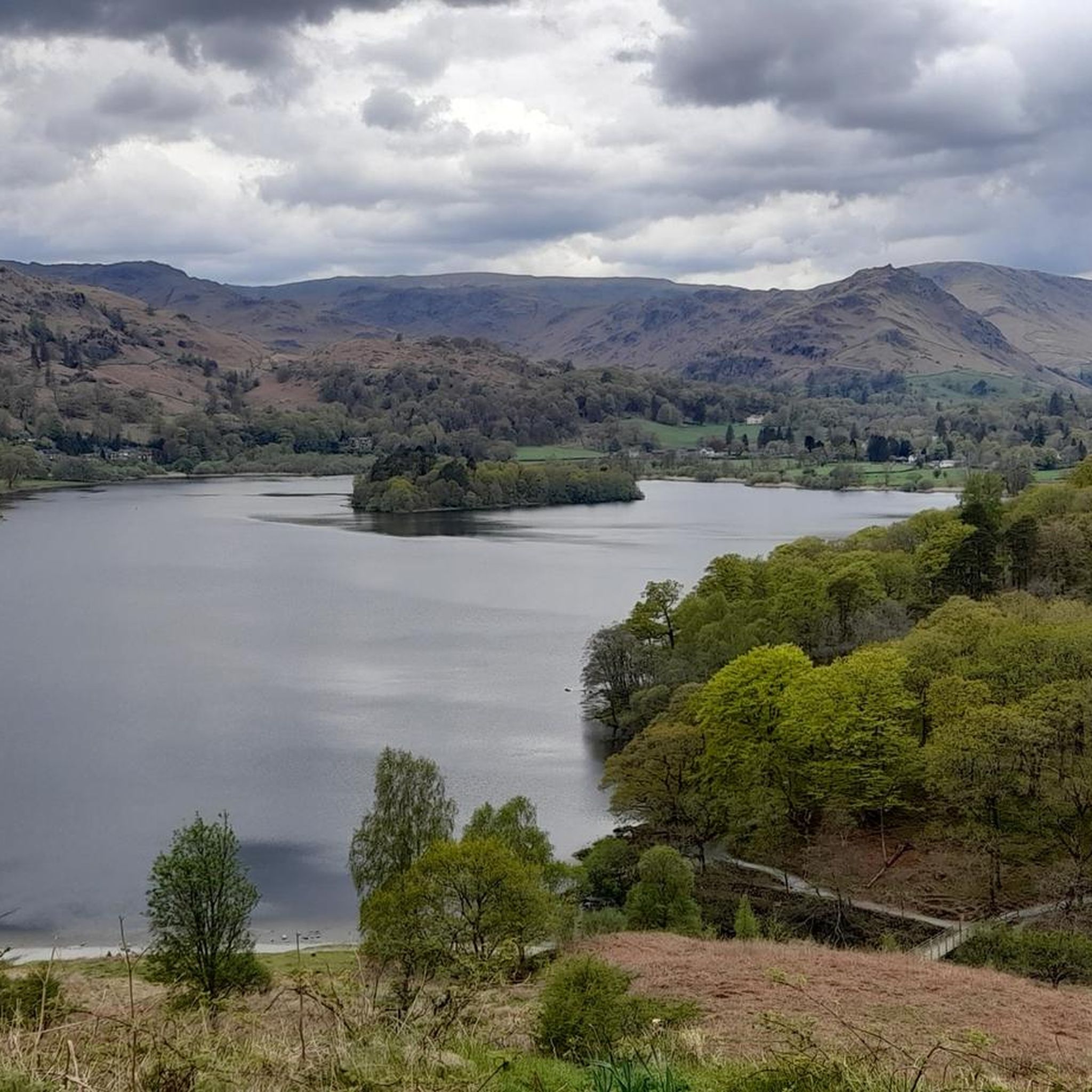
Running Trails around Lakes
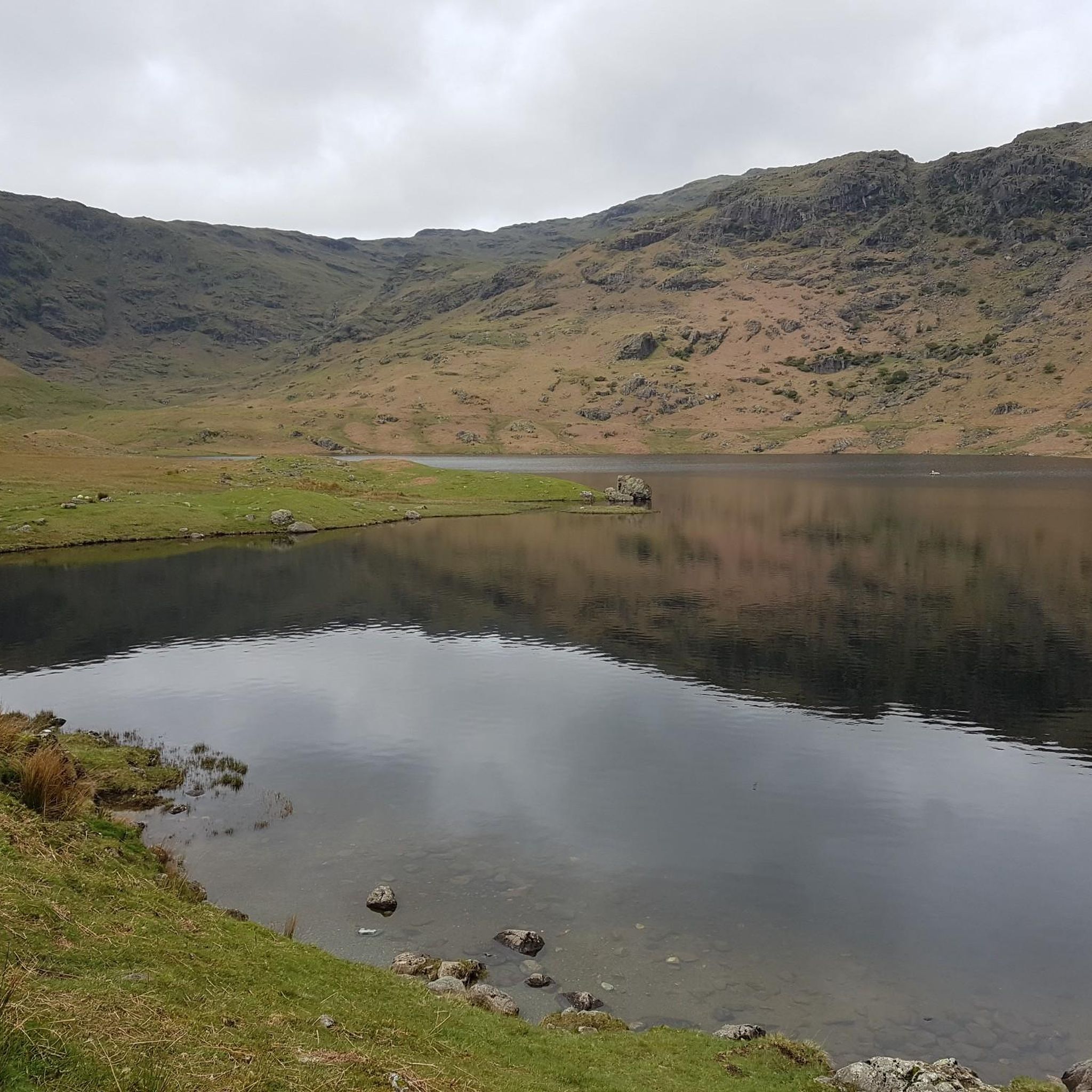
Running Trails around Easedale Tarn
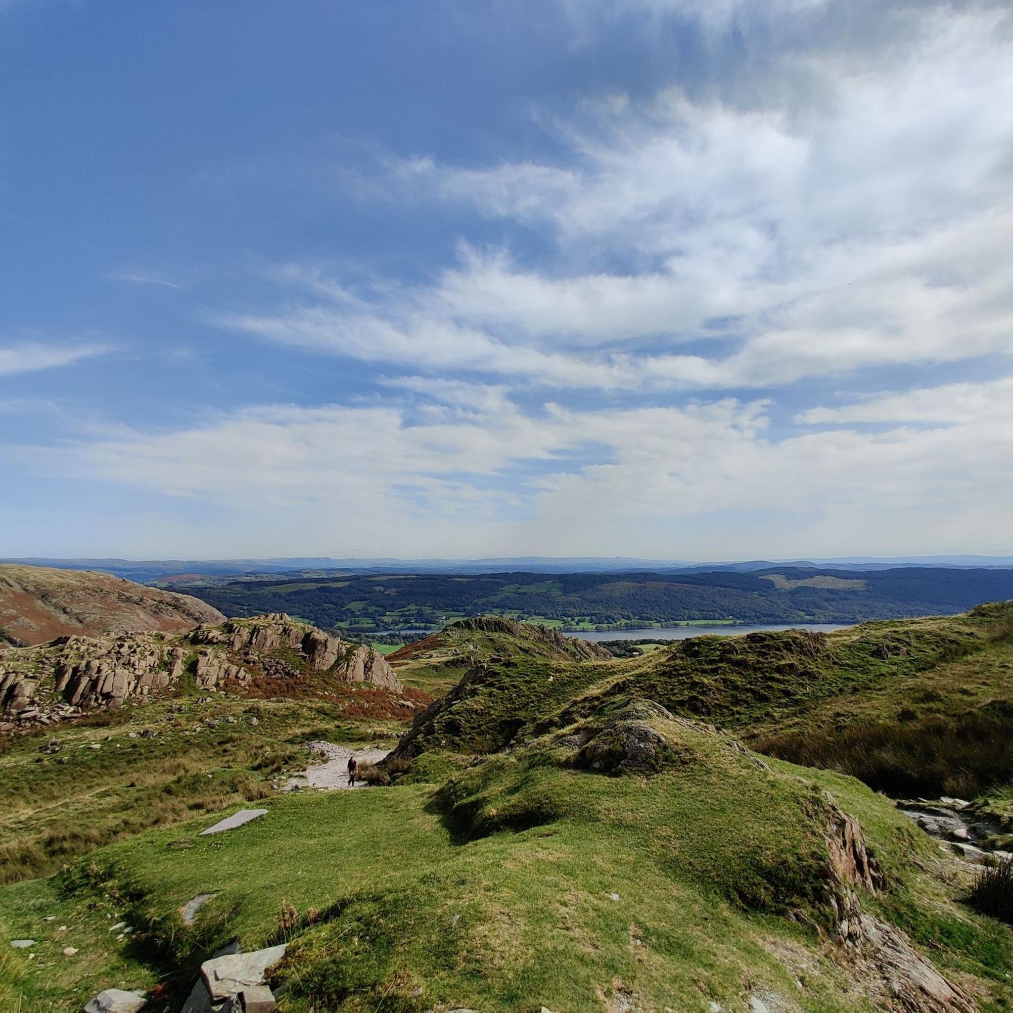
Running Trails around Coniston
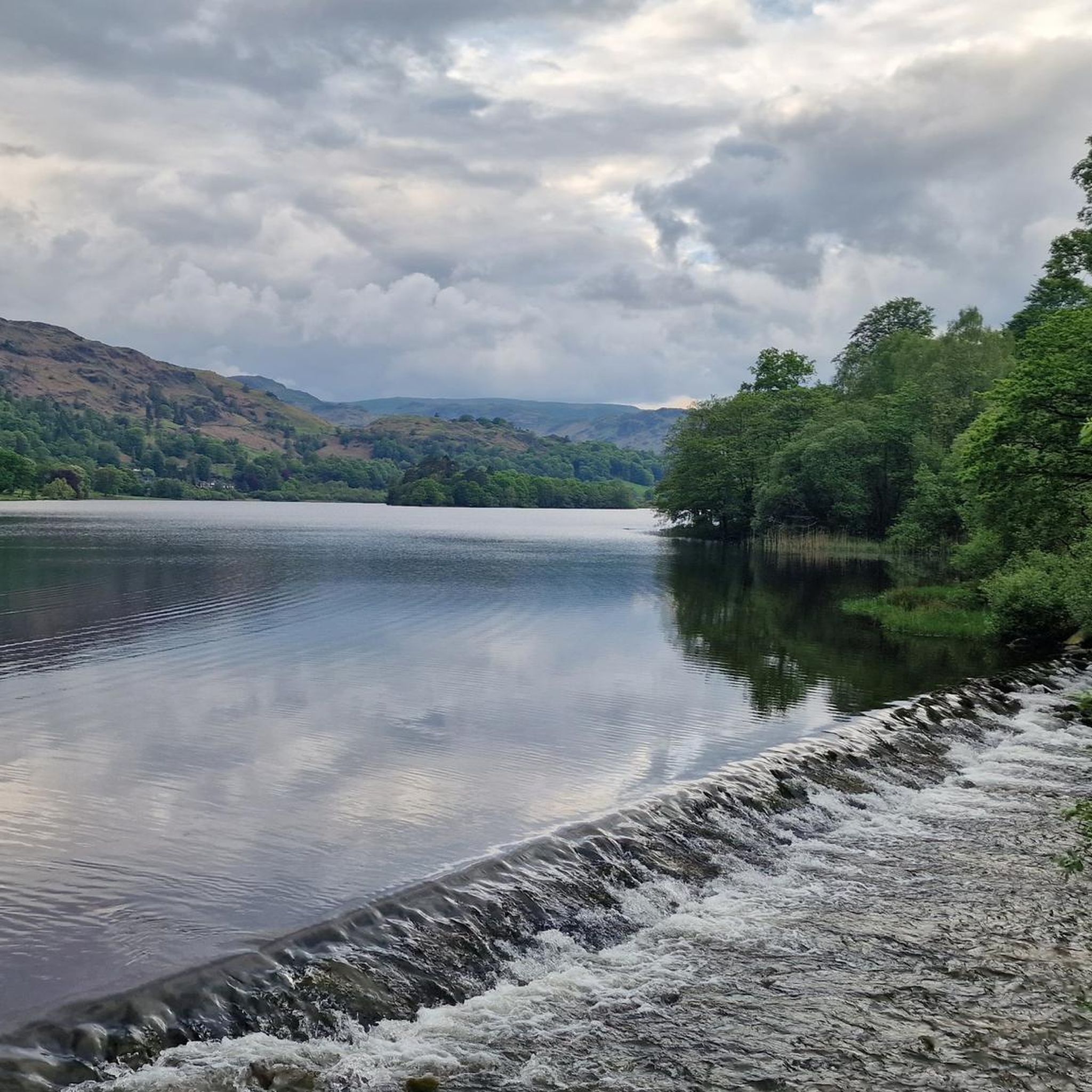
Running Trails around Grasmere
Running Trails around Kendal
Running Trails around Windermere
Running Trails around Rydal Water
Running Trails around Claife
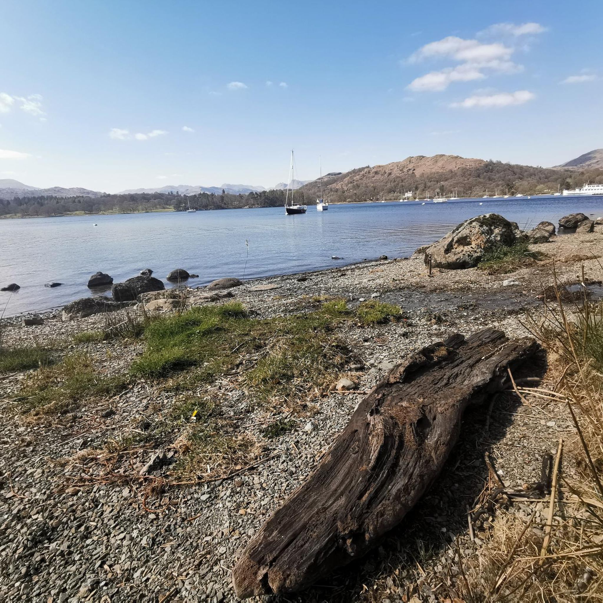
Running Trails around Windermere
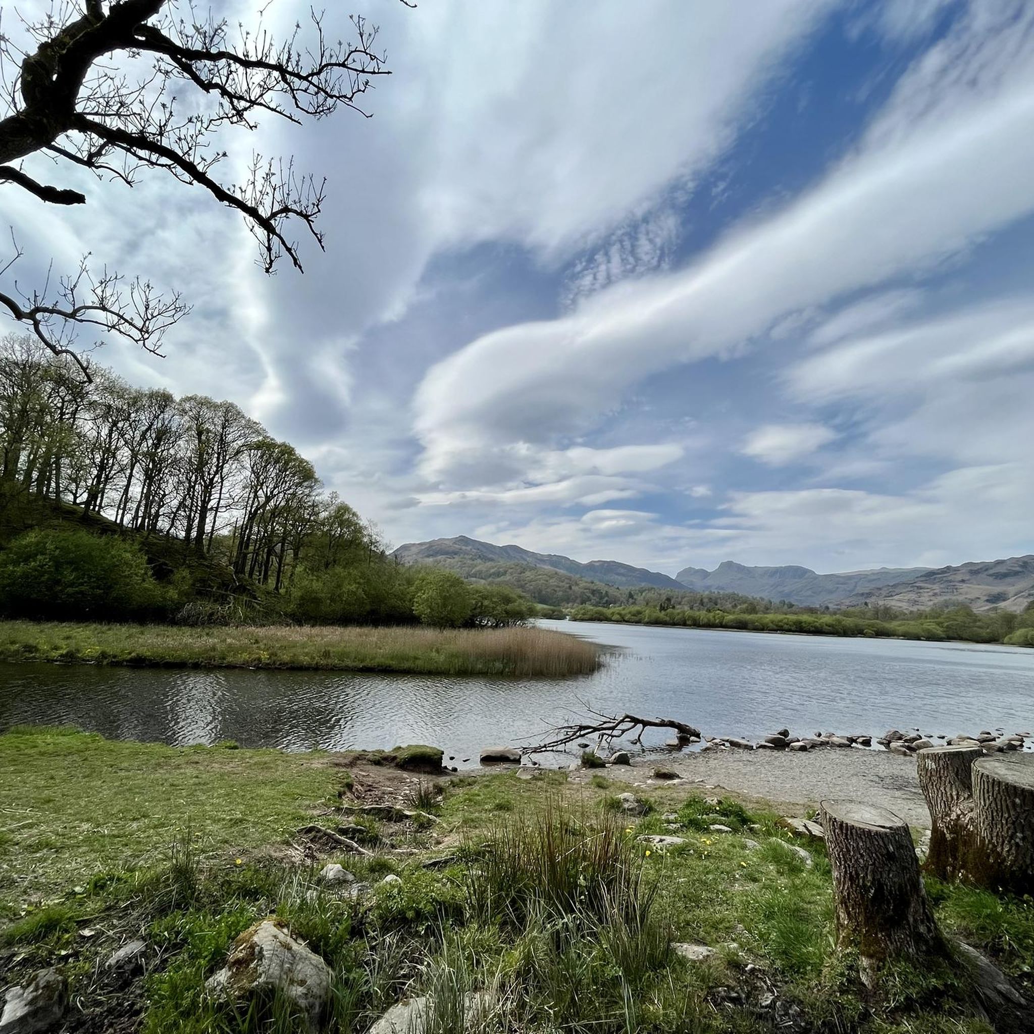
Running Trails around Elter Water
Other adventures around South Lakeland


Tips from the Community

Around 1590, the Company of Mines Royal began extracting copper from the Coniston copper veins. The first work was carried out entirely by hand. With brute force, the rock face was broken and tunnels were excavated very slowly. Only enough rock was removed to allow one person to pass through the tunnel, and these access tunnels are called 'coffin levels' because of their characteristic coffin shape. Excavating a 17th-century tunnel like Cobbler's Level could still take three years. The Elizabethan Company of Mines Royal was led by German experts from the Tyrol and Bavaria. Their mines penetrated more than 55 metres into the earth. Work continued after the English Civil War, but perhaps not to a great extent. At the end of the 17th century, gunpowder was introduced, which changed everything. Work went much faster and mines could go much deeper than before, up to more than 90 metres below the surface. The charges were placed in a hole drilled into the rock using 'jumpers', iron rods made on site. You can still see hand-drilled shot holes. Gunpowder was replaced by dynamite in 1877 and jumpers by compressed air drills in 1883. (Lake district national park)
5
0
To describe this mountain, here is a quote: "Although cruelly scarred and disfigured by the quarries, the Old Man has retained a dignified bearing and still lifts his proud and venerable head to the sky. His tears flow quietly into Low Water and Goats Water, two beautiful mountain tarns, whence they eventually... find their way to Coniston Water, bathing his ancient feet." Alfred Wainwright, "A Pictorial Guide to the Lakeland Fells, Book Four: The Southern Fells"
5
0

Very much one of the iconic mountains of the Lake District, Wetherlam is a rugged 763-metre (2,502 ft) mountain top, and getting here is pretty hard work from any direction. It has a rocky summit plateau, and the views across towards the Coniston group are super nice. Now for the big decent!
0
0
Pike of Stickle is a great rocky outcrop of rock with a decent scramble to get to the top. There are rock steps going up the lower slope on the first part, and then there are two ways to scramble up to the top. You can go around to the right, which is supposed to be the easiest way, but I found going up direct to be fine. It requires you to use both your hands and feet, but there are plenty of holds. There are super views across to Loft Crag, Harrison Stickle, and the peaks surrounding the entire Mickleden Valley.
0
0
Great Rigg, at 766 metres (2,513 feet), is one of the summit peaks of the Fairfield Horseshoe. It also acts as a linking summit if you are coming up from Stone Arthur to Fairfield. Either way, it is a pleasant place with good views down the spur to Stone Arthur and onwards down the ridgeline to Heron Pike and distant Lake Windermere.
0
0
High Pike, the Ambleside one, at 656 metres, is a popular Wainwright summit normally accessed by going up the classic Fairfield route from Ambleside. This is a steep ridge walk that also takes in Low Pike. The views back along the ridge with the stone wall steering itself along the ridgeline with Windermere in the background are super-beautiful. The summit is marked by a stone cairn.
0
0

Easily climbed from its eastern face with some light scrambling. More challenging scramble to the summit on its northern face
0
0
Right at the centre of the Lake District High Raise offers a panoramic view of the Lake District on a bright clear day. Can be climbed from many aspects including Langdale, Grasmere, Thirlmere or Borrowdale for a variety of different challenges
1
0
Frequently Asked Questions
What kind of terrain can I expect on running routes in South Lakeland?
South Lakeland, encompassing parts of the Lake District and Yorkshire Dales National Parks, offers a highly varied terrain. You'll find everything from majestic fells and tranquil lakeshores to fertile river valleys. The region features upland districts and lower hills, with some western and eastern uplands rising to between 1,500 and 3,000 feet, providing options for both gentle paths and challenging mountain ascents.
Are there any easy or beginner-friendly jogging routes in South Lakeland?
Yes, South Lakeland offers a good selection of easier routes. Out of over 2,100 running routes, approximately 178 are classified as easy. For a moderate, scenic option, consider the Grasmere and Rydal Water loop, which is 5.8 miles (9.4 km) and features tranquil lakeshores.
What are some scenic highlights or landmarks I can see while running in South Lakeland?
The region is rich in natural beauty and historical sites. You can enjoy views of England's largest freshwater lake, Windermere, or explore charming towns like Ambleside and Kendal. For specific viewpoints, consider routes that pass by locations such as High Tilberthwaite. Historic sites like Kendal Castle ruins or Levens Hall gardens also add to the scenic appeal.
Are there any circular running routes in South Lakeland?
Yes, many routes in South Lakeland are circular, allowing you to start and finish in the same location. A popular moderate circular route is the Grasmere and Rydal Water loop. For a more challenging circular option, try The Old Man of Coniston & Wetherlam loop from Coniston.
Can I find running routes with waterfalls in South Lakeland?
While specific waterfall routes aren't detailed in the guide, the region's 'hanging valleys' are known for attractive waterfalls. Exploring routes in areas with significant elevation changes, particularly near river valleys like the Kent and Lune, will increase your chances of encountering these scenic features.
Are there dog-friendly running trails in South Lakeland?
Many trails in South Lakeland are dog-friendly, especially those within the Lake District National Park, provided dogs are kept under control, particularly around livestock. It's always advisable to check specific route details or local signage for any restrictions, especially during lambing season.
What is the best time of year for trail running in South Lakeland?
The best time for trail running generally depends on your preference for conditions. Spring and autumn offer pleasant temperatures and beautiful scenery. Summer is popular but can be busy. Winter running is possible, but be prepared for colder weather, potential ice, and shorter daylight hours, especially on higher fells. Always check weather forecasts before heading out.
Are there running routes accessible by public transport in South Lakeland?
Many towns and villages in South Lakeland, such as Ambleside and Kendal, serve as excellent starting points for runs and are well-connected by public transport. You can often find routes that begin directly from bus stops or train stations, making it convenient to access the trails without a car.
Where can I find parking for running trails in South Lakeland?
Parking is available at various trailheads and in the towns and villages throughout South Lakeland. Popular starting points like Ambleside, Grasmere, and Coniston offer car parks, though they can fill up quickly during peak season. Some smaller trailheads may have limited or informal parking, so it's good to plan ahead.
What do other runners enjoy most about jogging in South Lakeland?
The running routes in South Lakeland are highly rated by the komoot community, with an average score of 4.5 stars from over 400 reviews. Runners frequently praise the majestic fells, tranquil lakeshores, and the diverse terrain that offers options for all ability levels, from moderate paths to challenging mountain ascents.
Are there any permits required for running in the Lake District National Park within South Lakeland?
Generally, no specific permits are required for recreational running on public footpaths and bridleways within the Lake District National Park. However, always respect private land and follow the Countryside Code. Some organized events or specific areas might have their own rules, so it's wise to check if you're participating in a race or running in a less common area.
Can I find running routes near cafes or pubs in South Lakeland?
Yes, many running routes in South Lakeland start or pass through charming towns and villages like Ambleside, Kendal, and Coniston, which are well-equipped with cafes, pubs, and other amenities. This allows you to enjoy refreshments before or after your run. For example, routes around Grasmere and Rydal Water are close to village facilities.
Most popular routes around South Lakeland
Most popular attractions around South Lakeland

Get inspired with the komoot mobile app


Didn’t find what you were looking for?
Check out more Running Trails & Routes throughout South Lakeland below and find the perfect route in your destination.
Explore more
Browse the best Running Trails & Routes in other regions.
