The best MTB trails around Cogorno
4.3
(546)
3,368
riders
15
rides
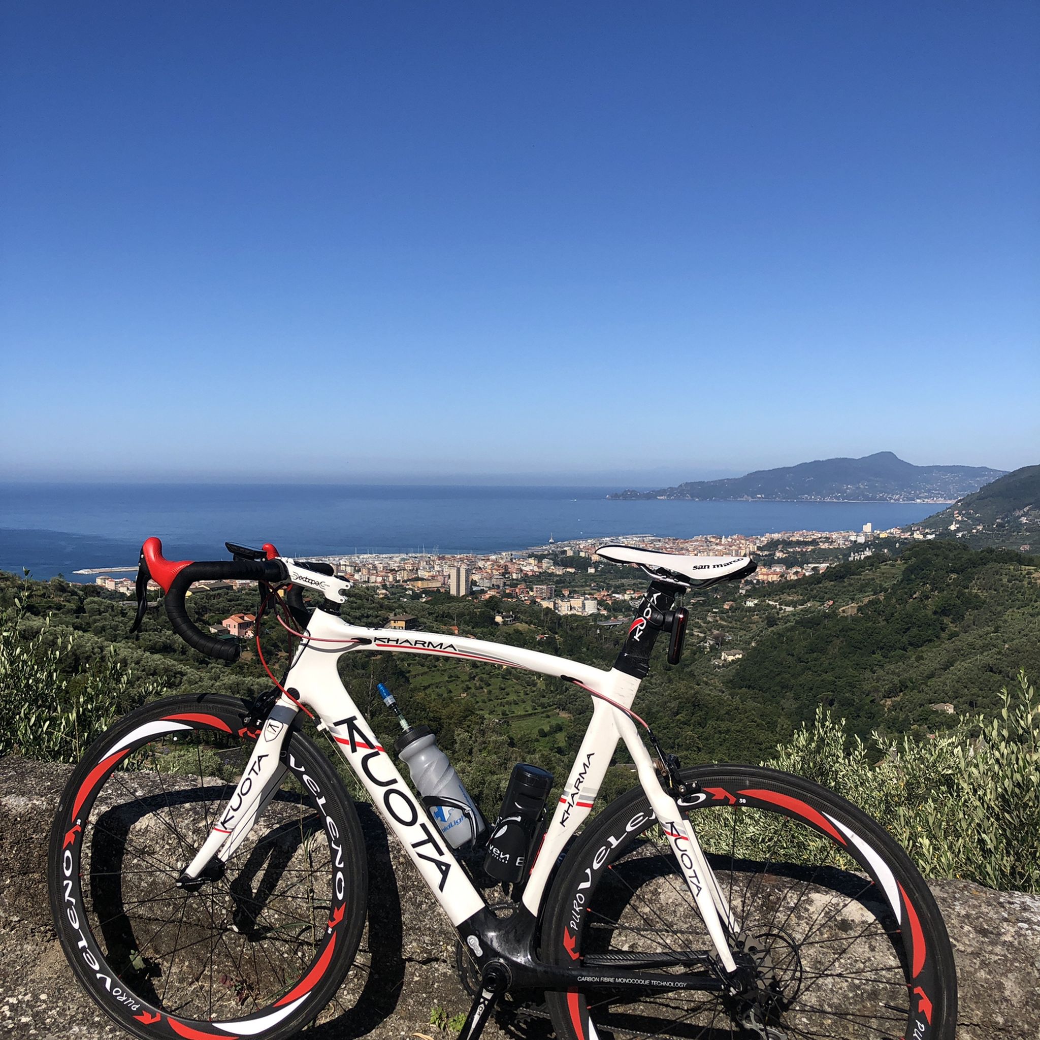
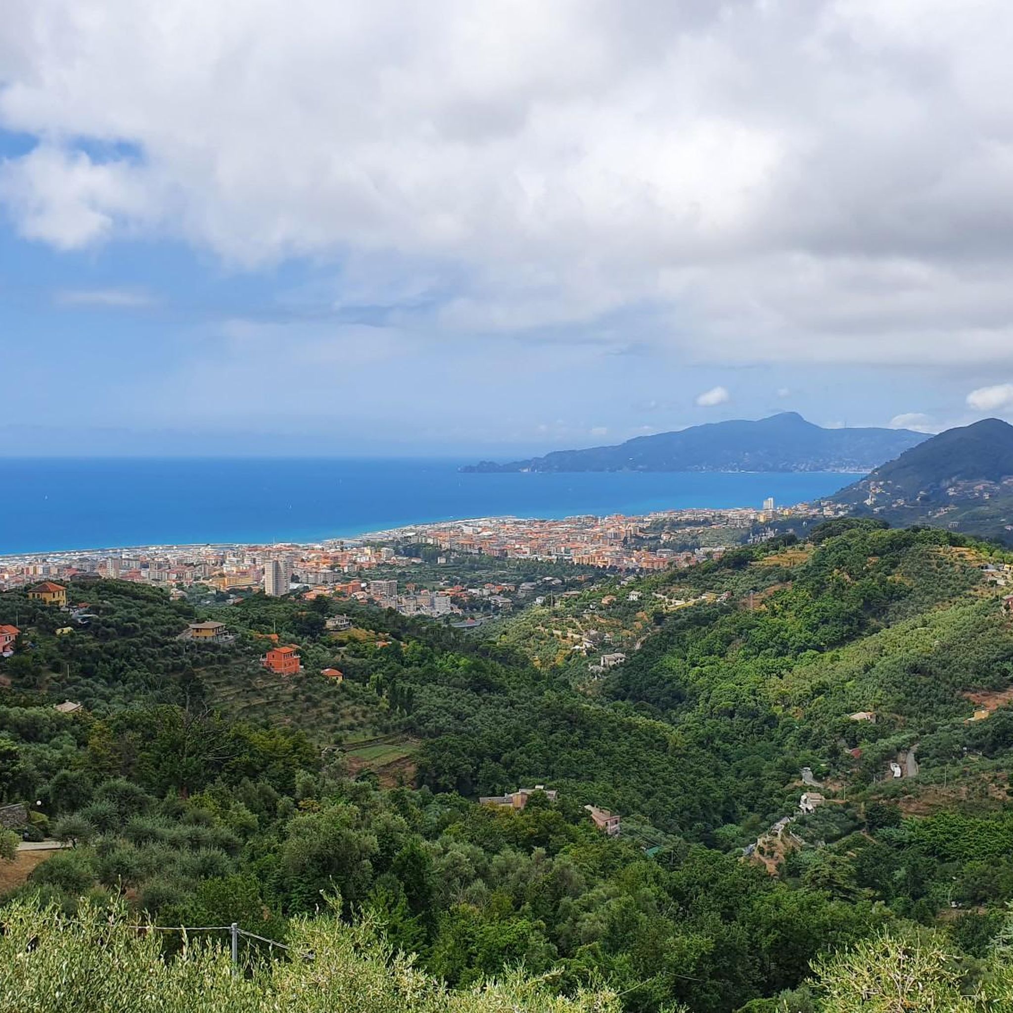
Mountain biking around Cogorno offers diverse terrain, situated between the Valfontanabuona and Val Graveglia valleys. The area features terraced hillsides descending towards the sea, alongside the more rugged peaks of the Apennine valleys, including Mount Rocchette and Mount S. Giacomo. These natural features provide varied elevation changes and scenic backdrops for mountain bike routes. The landscape is characterized by ancient dry stone walls and olive groves on steep hillsides, contributing to the distinctive riding environment.
Best mountain bike trails around…
Last updated: October 10, 2026
4.4
(10)
61
riders
37.1km
03:10
1,160m
1,160m
This difficult 23.0-mile mountain biking loop from Cogorno offers panoramic views of the Gulf of Tigullio and challenging terrain.
3.0
(1)
10
riders
Hard mountain bike ride. Good fitness required. Advanced riding skills necessary. Some portions of the route may require you to push your bike.

4.5
(12)
56
riders
36.2km
02:57
990m
990m
Hard mountain bike ride. Very good fitness required. Advanced riding skills necessary. Some portions of the route may require you to push your bike.
5.0
(2)
47
riders
21.4km
02:13
770m
770m
Hard mountain bike ride. Good fitness required. Advanced riding skills necessary. Some portions of the route may require you to push your bike.
4.8
(5)
40
riders
54.8km
04:40
1,210m
1,210m
Hard mountain bike ride. Very good fitness required. Advanced riding skills necessary. Some portions of the route may require you to push your bike.
Get access to more routes and recommendations from other explorers.
Already have an account?
Our route recommendations are based on thousands of hikes, rides, and runs completed by other people on komoot.
Start today with a free account
Your next adventure awaits.

Tips from the Community

very nice cycle path along the river
0
0

More information can be found at: (c) https://it.wikipedia.org/wiki/Rocche_di_Sant%27Anna
0
0

I got there hoping for a viewpoint, but it's a crossroads in the woods. No need to deviate from the path to get here.
0
0

this stretch is closed now, but on weekends you can get through
0
0

Always check the conditions
0
0


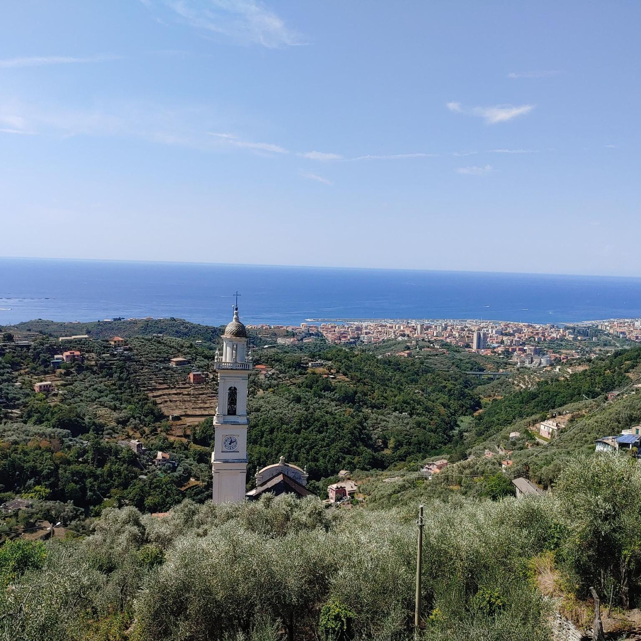
Great view from the church over the sea from the steep coast. The circular route is also popular with mountain bikers.
1
0
Frequently Asked Questions
What kind of terrain can I expect on mountain bike trails around Cogorno?
The mountain bike trails around Cogorno offer a diverse landscape, situated between the Valfontanabuona and Val Graveglia valleys. You'll encounter terraced hillsides that descend towards the sea, as well as the more rugged peaks of the Apennine valleys, including Mount Rocchette and Mount S. Giacomo. The area is also characterized by ancient dry stone walls and olive groves, providing varied elevation changes and scenic backdrops.
Are there mountain bike trails suitable for beginners or less experienced riders?
While many trails around Cogorno are rated as difficult, there are also moderate options available. The region's diverse terrain ensures that riders of varying skill levels can find suitable routes. For example, the Entella River – Maxena Trail loop from Lavagna is a moderate 18.4-mile route that offers a less strenuous experience.
Can I find circular mountain bike routes in the Cogorno area?
Yes, many of the mountain bike routes around Cogorno are circular, allowing you to start and finish in the same location. Examples include the challenging Sulla Cresta di Monte Le Rocchette e Monte Capenardo – giro ad anello da San Giacomo and the moderate Well-compacted gravel road – Forest Trail loop from Lavagna.
What are some notable natural features or viewpoints along the mountain bike trails?
The trails often provide panoramic views of the Gulf of Tigullio and the surrounding valleys. You can also encounter significant reliefs like Mount Rocchette and Mount S. Giacomo, which are historically known for Liguria's oldest slate quarries. For specific viewpoints, consider visiting the View of Sestri Levante and the Ligurian Sea from Punta Manara or the View of Sestri Levante and Baia del Silenzio from Punta Manara.
Are there any historical landmarks or attractions to see while mountain biking near Cogorno?
Yes, the region is rich in history. You might encounter ancient dry stone walls that create terracing for olive groves. Historically, the area was significant for slate quarrying. Nearby attractions include the Sanctuary of Our Lady of Grace and the Ruins of the Church of Sant'Anna, which can be explored in conjunction with your rides.
What is the best season for mountain biking in Cogorno?
Liguria generally offers a long mountain biking season due to its mild climate. Spring and autumn are often ideal, providing pleasant temperatures and vibrant landscapes. Even winter can be suitable for riding, though conditions may vary, especially at higher elevations.
How long do mountain bike trails typically take to complete in Cogorno?
The duration of mountain bike trails in Cogorno varies significantly based on distance, elevation, and your riding pace. For instance, the Chapel of St. James – Sant'Anna - Mimose Junction loop from Lavagna, which is 13.8 miles (22.2 km), typically takes around 2 hours 16 minutes. Longer, more difficult routes can take over 3 hours.
What do other mountain bikers say about the trails in Cogorno?
The mountain bike routes in Cogorno are highly rated by the komoot community, with an average score of 4.4 stars from over 400 reviews. More than 2900 mountain bikers have used komoot to explore Cogorno's varied terrain, often praising the diverse landscapes and challenging ascents.
Are there any paved bike routes in the wider Cogorno area?
Yes, for those looking for a paved cycling experience, the Ciclovia dell'Ardesia (Slate Cycle Path) is a 33 km route that follows the Entella River through the Val Fontanabuona. This offers a pleasant ride through nature and history, distinct from the more rugged mountain bike trails.
What are the general difficulty levels of mountain biking in the Liguria region?
The broader Liguria region, including areas near Cogorno, is highly regarded for mountain biking and offers a variety of trails for enduro, cross-country, and freeride. Trail difficulties are often categorized using a traffic light system, ranging from easy (green) to very difficult (black), allowing riders to choose routes that match their skill level and experience.
Are there opportunities for more advanced or challenging mountain biking near Cogorno?
Absolutely. The region is known for its challenging terrain. Routes like the Monte Capenardo Loop from Cogorno are rated difficult, covering 23.0 miles (37.1 km) with significant elevation changes, and offer panoramic views of the Gulf of Tigullio. The presence of rugged peaks and varied elevation makes it suitable for experienced riders.
Most popular attractions around Cogorno

Get inspired with the komoot mobile app


Explore more
Browse the best MTB trails in other regions.
