The best walks and hikes around Cogorno
4.6
(1672)
6,915
hikers
17
hikes
Hiking around Cogorno offers diverse landscapes, situated between the Valfontanabuona and Val Graveglia valleys in Liguria, Italy. The region features terraced hillsides that descend towards the sea, contrasting with the rugged peaks of the Apennine mountains, including Mount Rocchette and Mount San Giacomo. Historical slate quarries and paths are prominent features, providing unique trails through dense woods and ancient extraction sites. This varied terrain provides opportunities for different types of hiking experiences.
Best hiking trails around Cogorno
- The most popular hiking route is San Giacomo Massif Loop, a 2.9 miles (4.7 km) moderate trail that takes about 1 hour 34 minutes to complete. This route offers rewarding views from Monte Rocchette.
- Another top favourite among local hikers is Forest trail to Palmaria Island viewpoint, a moderate 4.7 miles (7.6 km) path. This trail takes hikers through historic slate quarries and provides Mediterranean vistas towards Palmaria Island.
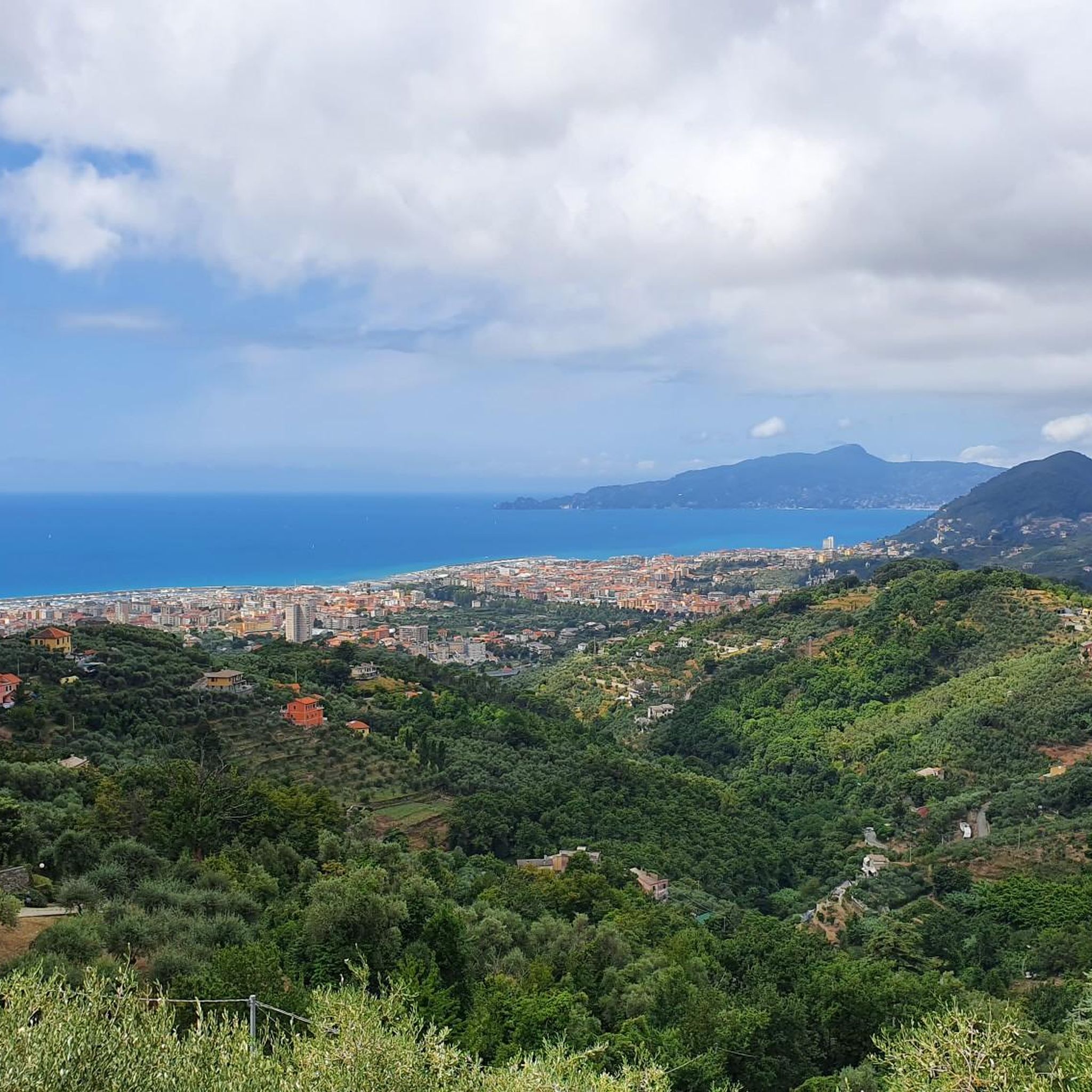
- Local hikers also love the View of the Gulf of Tigullio – Chapel of St. James loop from Cogorno, a 4.3 miles (6.9 km) trail leading through scenic views of the Gulf of Tigullio, often completed in about 2 hours 20 minutes.
- Hiking around Cogorno is defined by terraced hillsides, historical slate quarries, and mountainous terrain with views of the Gulf of Tigullio. The network offers options for easy, moderate, and difficult ability levels.
- The routes in Cogorno are highly rated by the komoot community with an average score of 4.6 stars from over 1,400 reviews. More than 6,000 hikers have used komoot to explore Cogorno's varied terrain.
Last updated: October 10, 2026
4.5
(8)
45
hikers
4.67km
01:34
160m
170m
Hike the moderate 2.9-mile San Giacomo Massif Loop, gaining 533 feet in 1 hour and 34 minutes, featuring views from Monte Rocchette.
7.57km
02:33
370m
370m
Forest trail through historic slate quarries to stunning Mediterranean views over Palmaria Island.

4.8
(15)
43
hikers
6.95km
02:21
220m
220m
Moderate hike. Good fitness required. Mostly accessible paths. Sure-footedness required.
5.0
(4)
11
hikers
3.86km
01:24
140m
140m
Moderate hike. Great for any fitness level. Mostly accessible paths. Sure-footedness required.
5.0
(1)
10
hikers
7.74km
03:29
590m
590m
Moderate hike. Good fitness required. Mostly accessible paths. Sure-footedness required.
Get access to more routes and recommendations from other explorers.
Already have an account?
Our route recommendations are based on thousands of hikes, rides, and runs completed by other people on komoot.
Start today with a free account
Your next adventure awaits.

Tips from the Community

He was murdered by the fascists in 1945.
0
0

I got there hoping for a viewpoint, but it's a crossroads in the woods. No need to deviate from the path to get here.
0
0

looking at the Madonnina, behind you the path that goes down to Crocetta - S.Giulia. on the right the path called "Cacciatori" starts. To the right you reach Capenardo and to the left you go towards S.Giacomo
0
0

Above the municipality of Cogorno, in the metropolitan city of Genoa, walking on the ridge of Mount Le Rocchette is certainly one of the best experiences that those who walk in these areas can have. In ancient times, slate, a metamorphic rock of sedimentary origin, was extracted in these areas.
1
1

Climbing Monte San Giacomo, despite being only 530 m above sea level and a few km of climb, is never trivial from any of the three sides. One for the other they have slopes of up to 15% and decidedly narrow streets, in particular the one from Via Renda. Furthermore, the one from Tolceto has a decidedly bad surface. The descents are more difficult than the climbs: it is easy to find damp and treacherous curves and cars in narrow passages!
0
0

Panoramic point on the side of Mount Capenardo. While the mountain does not offer a very interesting view, this point, however, is splendid. Ideal for a break.
3
0

Footpath from Villa Loto towards La Selva
0
0
Frequently Asked Questions
How many hiking trails are available in Cogorno?
Cogorno offers a diverse network of 15 hiking trails, catering to various skill levels. You'll find 2 easy routes, 12 moderate options, and 1 more challenging trail to explore the region's unique landscapes.
Are there any easy hiking trails suitable for beginners in Cogorno?
Yes, Cogorno features a couple of easy hiking trails perfect for beginners or those seeking a relaxed walk. These routes allow you to enjoy the scenery without significant elevation changes or technical sections.
What kind of landscapes can I expect to see while hiking in Cogorno?
Hiking in Cogorno offers a blend of terraced hillsides, dense woods, and rugged Apennine mountain peaks like Mount Rocchette and Mount San Giacomo. You'll also encounter historical slate quarries and paths, with many trails providing stunning panoramic views of the Gulf of Tigullio and even glimpses of Palmaria Island.
Are there any circular walks in Cogorno?
Yes, many of Cogorno's trails are circular, allowing you to start and end at the same point. For example, the View of the Gulf of Tigullio – Chapel of St. James loop from Cogorno is a moderate 6.9 km route offering scenic vistas.
What are some notable historical or natural attractions along the hiking routes?
Beyond the natural beauty, hikers can discover historical gems. The Sestri Levante: Old Town and Bays offers a charming coastal experience, while the Ruins of the Church of Sant'Anna provide a glimpse into the past. Many trails also pass through ancient slate quarries, showcasing the region's industrial heritage.
Can I find trails that offer views of the sea or coastline?
Absolutely. Cogorno's unique position provides numerous opportunities for sea views. The Forest trail to Palmaria Island viewpoint, for instance, takes you through historic slate quarries and offers stunning Mediterranean vistas towards Palmaria Island.
What do other hikers say about the trails in Cogorno?
The hiking routes in Cogorno are highly regarded by the komoot community, with an impressive average rating of 4.6 out of 5 stars from over 1,400 reviews. Hikers frequently praise the diverse terrain, the historical elements, and the breathtaking panoramic views of the Gulf of Tigullio.
Are there any trails that explore the historical slate quarries?
Yes, the historical slate quarries are a significant feature of the Cogorno landscape. Trails like the "Cammino dell'Ardesia" (Slate Path), which can be accessed from nearby Lavagna and passes through Cogorno, wind through dense woods and ancient slate extraction sites, offering a unique blend of natural beauty and cultural heritage.
Which trail offers the best views of Monte Rocchette?
For rewarding views from Monte Rocchette, consider the San Giacomo Massif Loop. This moderate 4.7 km trail is a great option to experience the mountain's vistas.
Are there any trails that connect to nearby towns or coastal areas?
Yes, some routes extend beyond Cogorno, offering connections to neighboring areas. The Ponte della Libertà – Chiavari Seafront loop from Lavagna is a longer, moderate trail that allows you to explore the coastal area near Chiavari.
What is the typical duration for a moderate hike in Cogorno?
Moderate hikes in Cogorno typically range from 1.5 to 3 hours. For example, the Monte Rocchette (701 m) – View of the Gulf of Tigullio loop from Cogorno is a 7.8 km moderate route that usually takes around 2 hours 40 minutes to complete.
Most popular attractions around Cogorno

Get inspired with the komoot mobile app


Explore more
Browse the best Hikes in other regions.
