The best road cycling routes around Unterjeckenbach
4.1
(54)
620
riders
36
rides
Road cycling routes around Unterjeckenbach traverse a landscape characterized by river valleys, rolling hills, and historic towns. The region features varied terrain, including routes along the Glan River and paths leading to panoramic viewpoints. Elevation changes are common, with some routes offering significant climbs.
Best road cycling routes around Unterjeckenbach
- The most popular road cycling route is Niederhausen Dam – Glan Bridge near Rehborn loop from Lauterecken-Grumbach, a 42.0 miles (67.7 km) trail that takes 2 hours 51 minutes…
Last updated: July 5, 2026
5.0
(17)
47
riders
Moderate road ride. Good fitness required. Mostly well-paved surfaces and easy to ride.
18
riders
47.3km
02:17
570m
570m
Moderate road ride. Good fitness required. Mostly well-paved surfaces and easy to ride.

Sign up for free
2.0
(1)
20
riders
34.9km
01:35
350m
350m
Moderate road ride. Good fitness required. Mostly well-paved surfaces and easy to ride.
4.5
(4)
20
riders
Moderate road ride. Good fitness required. Some segments of this route may be unpaved and difficult to ride.
14
riders
Moderate road ride. Good fitness required. Some segments of this route may be unpaved and difficult to ride.
Get access to more routes and recommendations from other explorers.
Sign up for free
Already have an account?
Our route recommendations are based on thousands of hikes, rides, and runs completed by other people on komoot.
Start today with a free account
Your next adventure awaits.
Login or Signup

Tips from the Community

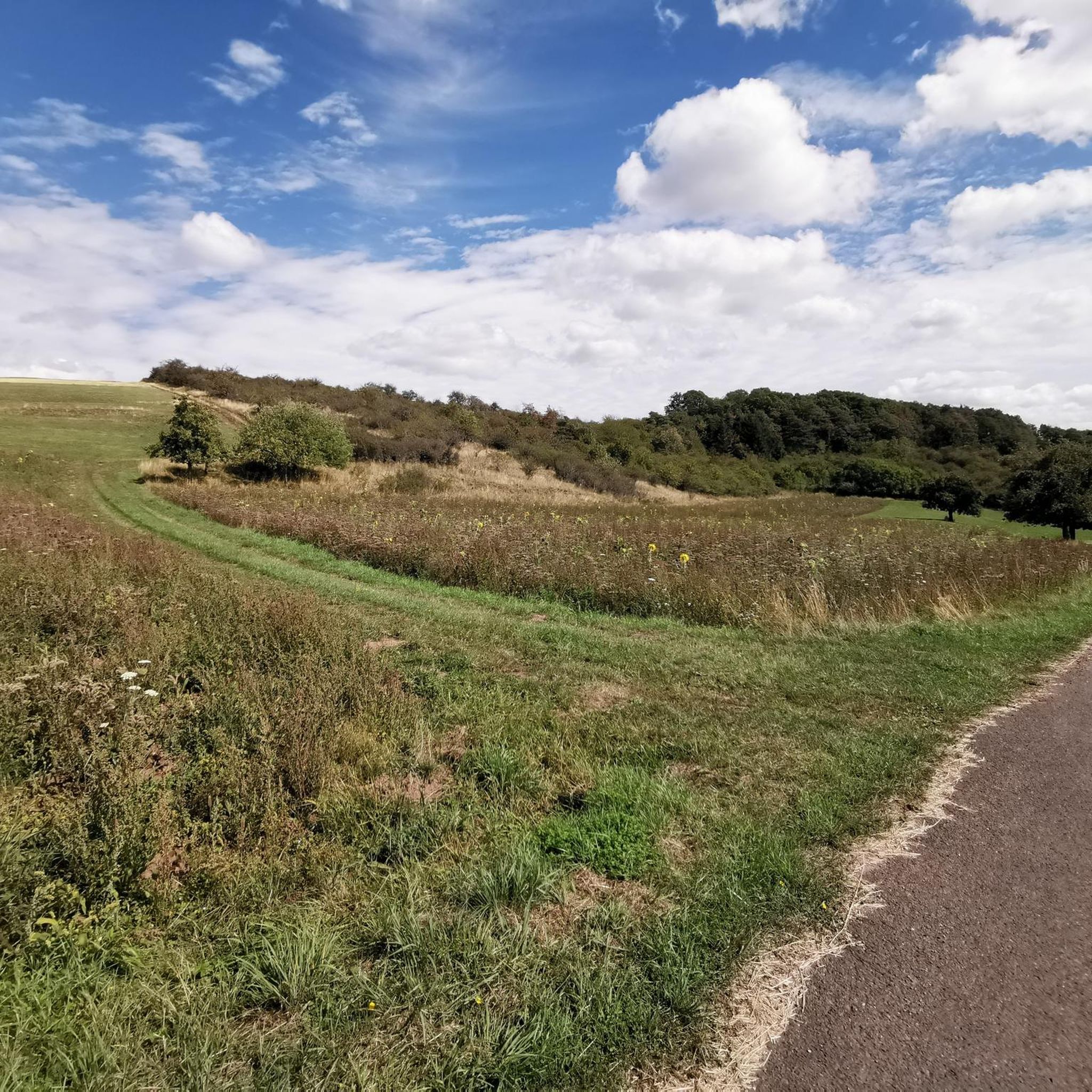
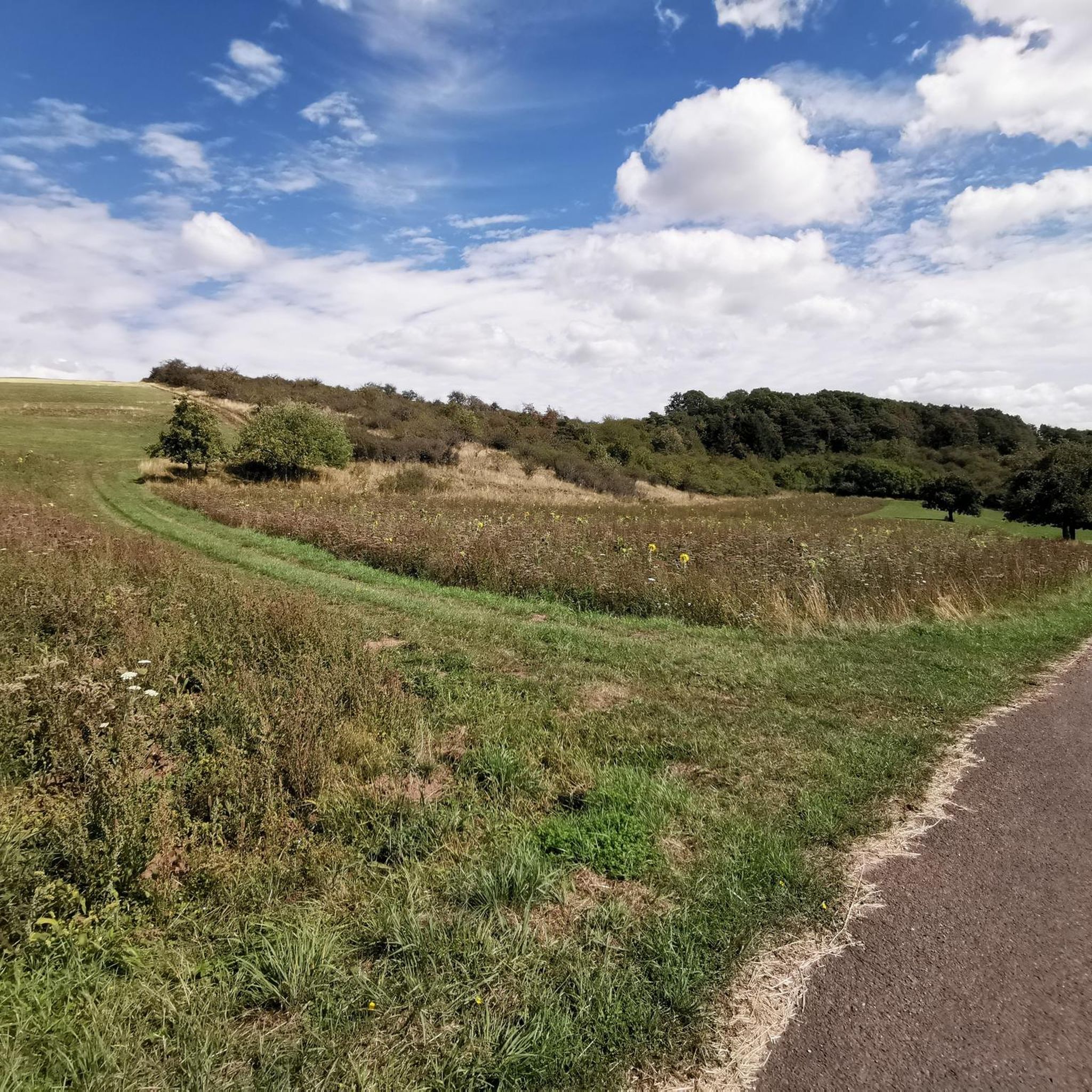
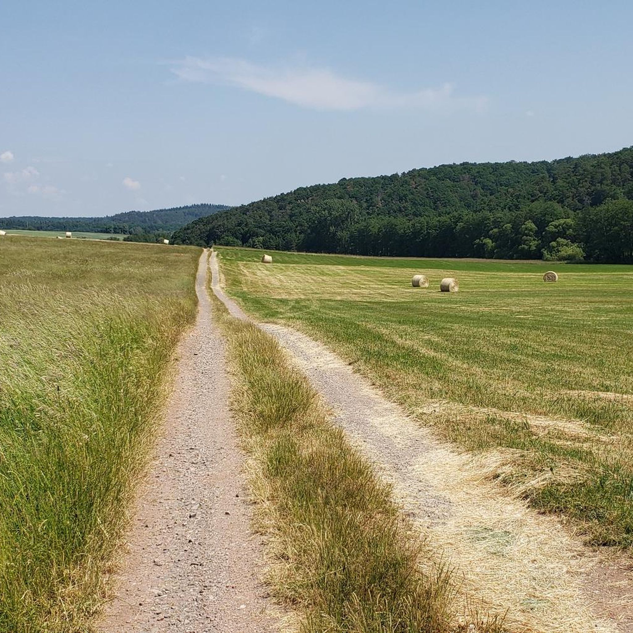
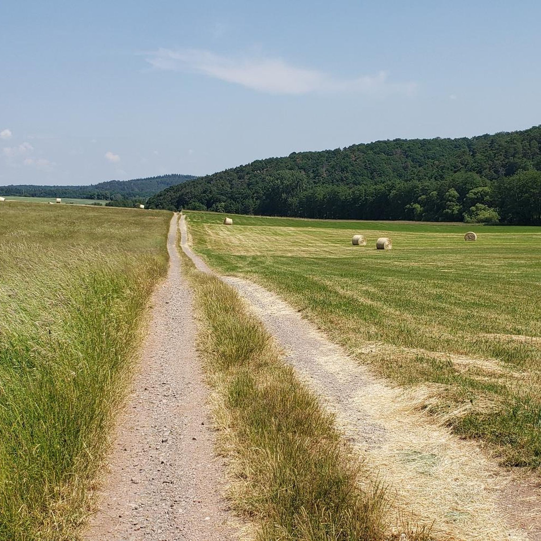
Great straight path, I prefer nature more, but it's totally OK
0
0
Really intense when you look at it closely, the rocks on the left and right look like they "fell from the sky"
0
0
Nice straight path, I prefer something a bit more natural but still nice :-)
0
0

Farewell to the empty church: Deconsecration of the church at Niederreidenbacher Hof The pews of the church at the Hofgut Niederreidenbach have long been empty. The last service was held there over 20 years ago. For some time now, the buildings and the church have been closed, the workshops deserted. After careful consideration, the kreuznacher diakonie foundation has decided to give up and sell the Hofgut. Now the next step is being taken: the application for deconsecration. The board of the kreuznacher diakonie foundation decided on August 10, 2020, to deconsecrate the church. The decision was approved by the regional church office with a general decree dated September 30, 2020, and is hereby announced. The deconsecration becomes effective on the day after its announcement and is therefore no longer a place of worship. For over 100 years, the Hofgut was a home and meeting place for the weak, the sick, and the displaced. What was initially conceived as a project by Pastor Hugo Reich as "smaller hostels for home" for migrant workers became a reality with the acquisition of the Hofgut near Fischbach an der Nahe in 1904, and at the same time a new field of work for the kreuznacher diakonie foundation. "Work instead of alms" was the motto issued. The colonist brothers and other helpers were responsible for managing the estate, which covered over 600 Morgen (approx. 150 ha). In the following years, the Niederreidenbacher Hof developed into the largest agricultural operation in the Rhineland and was of elementary importance for the self-sufficiency of the diaconal community in terms of food and its economic independence. Every day, a horse-drawn carriage brought fresh milk to Fischbach-Weierbach station, intended for the breakfast of hospital patients in Bad Kreuznach. Cattle and pigs were slaughtered weekly in the in-house butcher's shop. During the Nazi and post-war years, the traditional diaconal principle of self-sufficiency could only be realized with the help of foreign prisoners of war and forced laborers. This dark chapter has been processed, among other things, in the second volume "Lebenswirklichkeiten – Menschen Unter Menschen" by Dr. Ulrike Winkler. Instead, the Hofgut was partially modified structurally to be used more intensively for the care and support of people with disabilities and homeless men. Thus, at the beginning of the 1960s, a retirement home was built specifically for homeless people. In 1987, construction of a workshop began. From 1979 onwards, the professional focus concentrated on assistance for the homeless, with a total of 56 residential places and 16 places in the retirement home. In the course of the border opening in 1989, the Niederreidenbacher Hof briefly served as an emergency shelter for former GDR citizens. Ten years earlier, Vietnamese refugees found asylum here. Following a fire in 2009, after which the main building and the retirement home were no longer habitable, the kreuznacher diakonie foundation pushed ahead with the modernization process in shaping the support for the homeless. Instead of a larger, central facility, decentralized services, such as smaller residential communities or individual living, are now increasingly provided to create the most normal living conditions and better participation for homeless people. In 2011, the last residents of the Niederreidenbacher Hof moved to Idar-Oberstein. In 2018, the workshop operations were relocated to Kirn, so that the entire Niederreidenbacher Hof has been empty ever since.
0
0

Beautiful little old town
0
0
Frequently Asked Questions
How many road cycling routes are available around Unterjeckenbach?
There are nearly 40 road cycling routes in the Unterjeckenbach area, offering a diverse range of experiences for cyclists of all levels.
Are there easy road cycling routes suitable for beginners or families?
Yes, Unterjeckenbach offers 10 easy road cycling routes. A good option for a more relaxed ride is the Meisenheim Old Town – View of the Glan River loop from Lauterecken-Grumbach, which is 13.1 miles (21.0 km) long with minimal elevation gain.
What kind of terrain can I expect on road cycling routes in Unterjeckenbach?
The region around Unterjeckenbach is characterized by river valleys, rolling hills, and historic towns. You'll find varied terrain, including routes along the Glan River and paths with significant elevation changes leading to panoramic viewpoints.
Are there challenging road cycling routes with significant elevation gain?
Absolutely. For those seeking a challenge, there are 3 difficult routes and 26 moderate routes with notable elevation profiles. The Panoramic View Near Kirn – Bärenbach Wooden Bridge loop from Oberreidenbach, for instance, features substantial climbs over its 29.5 miles (47.4 km).
Can I find routes that offer scenic viewpoints?
Many routes in the area provide scenic vistas. The Panoramic View Near Kirn – Bärenbach Wooden Bridge loop from Oberreidenbach is specifically highlighted for its panoramic viewpoints. Another option is the Chapel Above the Road – Panoramic View Near Kirn loop from Hoppstädten, which also offers great views.
Are there any loop routes for road cycling in Unterjeckenbach?
Yes, many of the road cycling routes in Unterjeckenbach are loops, allowing you to start and end at the same point. Examples include the popular Niederhausen Dam – Glan Bridge near Rehborn loop from Lauterecken-Grumbach and the Meisenheim Old Town – View of the Glan River loop from Hoppstädten.
What natural attractions can I see along the road cycling routes?
While cycling, you might encounter natural features like the Erdesbach Weir on the Glan or the Blaue Halde Spring and Pond. The Wartekopf Nature Reserve is also nearby, offering a glimpse into the region's natural beauty.
Are there any interesting landmarks or historic sites to explore near the routes?
Yes, the region is dotted with historic towns and points of interest. The Meisenheim Old Town – View of the Glan River loop from Hoppstädten takes you through historic towns. You might also find the Wildfrauenloch (Wild Women's Cave) or the Path of Painted Stones (Bärenbachpfad) intriguing.
What do other road cyclists say about the routes in Unterjeckenbach?
The road cycling routes in Unterjeckenbach are highly rated by the komoot community, with an average score of 4.3 stars from over 36 reviews. Cyclists often praise the varied terrain, the scenic river valleys, and the charm of the historic towns along the way.
Are there places to rest or find refreshments along the routes?
While specific cafes aren't detailed for every route, the area does have facilities. You might find spots like the Waldhaus Grill Hut (Baumholder City Forest) or the Rest area at the source of the Auersbach, which can serve as good stopping points.
What is the typical duration for road cycling routes in this area?
Route durations vary significantly based on distance and elevation. For example, an easy route like the Meisenheim Old Town – View of the Glan River loop from Lauterecken-Grumbach takes about 1 hour 5 minutes, while a longer, moderate route such as the Niederhausen Dam – Glan Bridge near Rehborn loop from Lauterecken-Grumbach can take nearly 3 hours.
Most popular routes around Unterjeckenbach
Most popular attractions around Unterjeckenbach

Get inspired with the komoot mobile app


Explore more
Browse the best Road cycling routes in other regions.
