The best walks and hikes around Unterjeckenbach
4.5
(1455)
5,435
hikers
371
hikes
Hiking around Unterjeckenbach offers diverse landscapes characterized by gentle hills, verdant meadows, and dense forests, interwoven with narrow valleys. The region, nestled between the Palatinate Forest and the Hunsrück, features elevations reaching over 400 meters, providing varied terrain for outdoor activities. Hikers can explore tranquil natural trails, including those following streams like the Auersbach, and discover historical landmarks. This varied topography supports a range of hiking experiences.
Best hiking trails around Unterjeckenbach
- The most popular hiking route is Eselbrücke Kohlenhütte…
Last updated: May 18, 2026
4.8
(18)
65
hikers
Moderate hike. Good fitness required. Easily-accessible paths. Suitable for all skill levels.
4.7
(6)
31
hikers
9.22km
02:35
180m
180m
Moderate hike. Good fitness required. Easily-accessible paths. Suitable for all skill levels.

Sign up for free
5.0
(3)
5
hikers
5.99km
01:42
140m
140m
Easy hike. Great for any fitness level. Easily-accessible paths. Suitable for all skill levels.
5.0
(2)
5
hikers
Easy hike. Great for any fitness level. Easily-accessible paths. Suitable for all skill levels.
3
hikers
10.5km
02:56
210m
210m
Moderate hike. Good fitness required. Easily-accessible paths. Suitable for all skill levels.
Get access to more routes and recommendations from other explorers.
Sign up for free
Already have an account?
Our route recommendations are based on thousands of hikes, rides, and runs completed by other people on komoot.
Start today with a free account
Your next adventure awaits.
Login or Signup
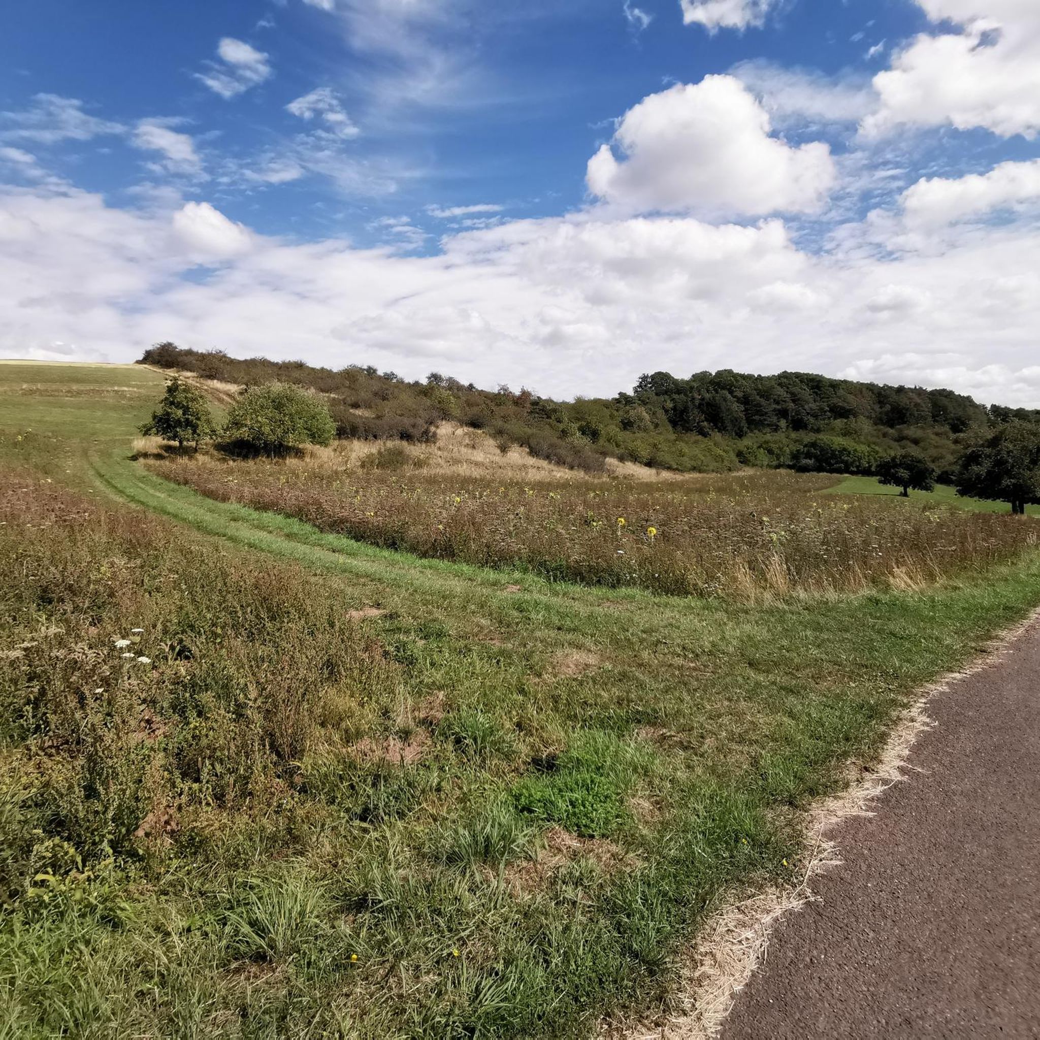
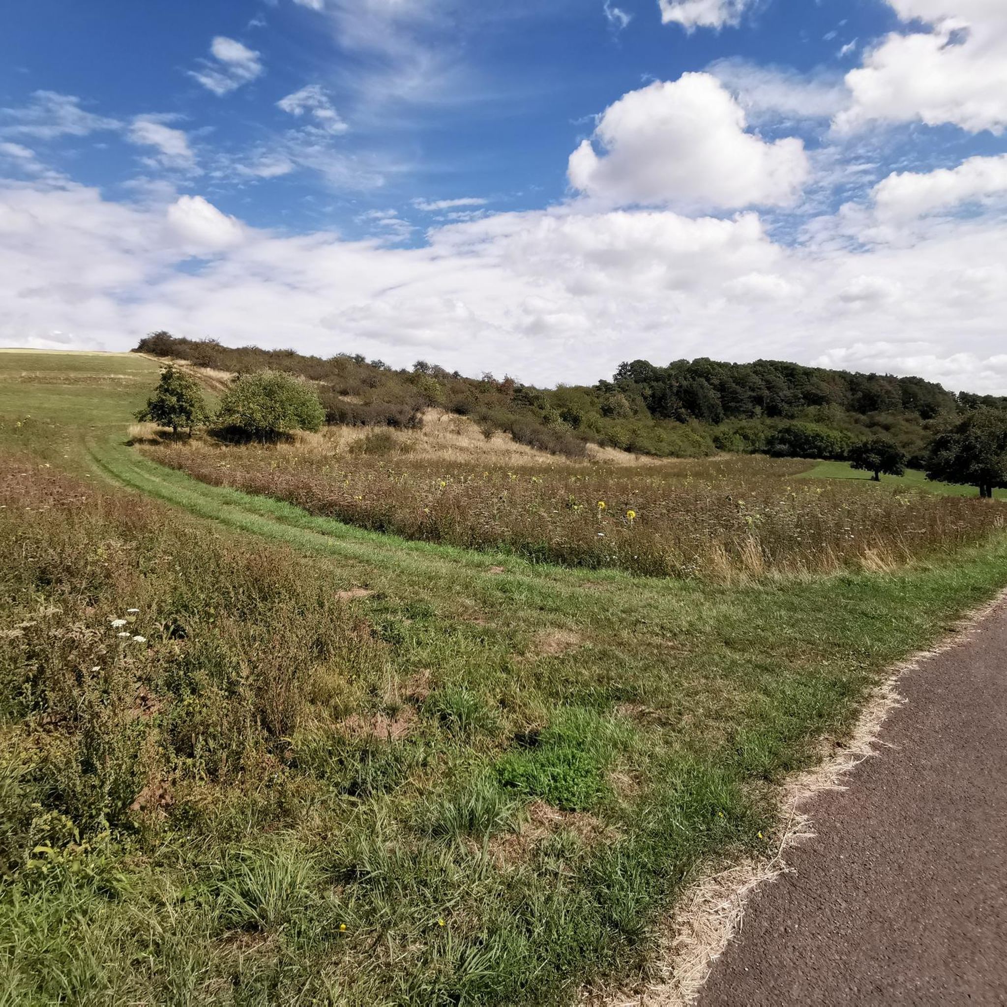
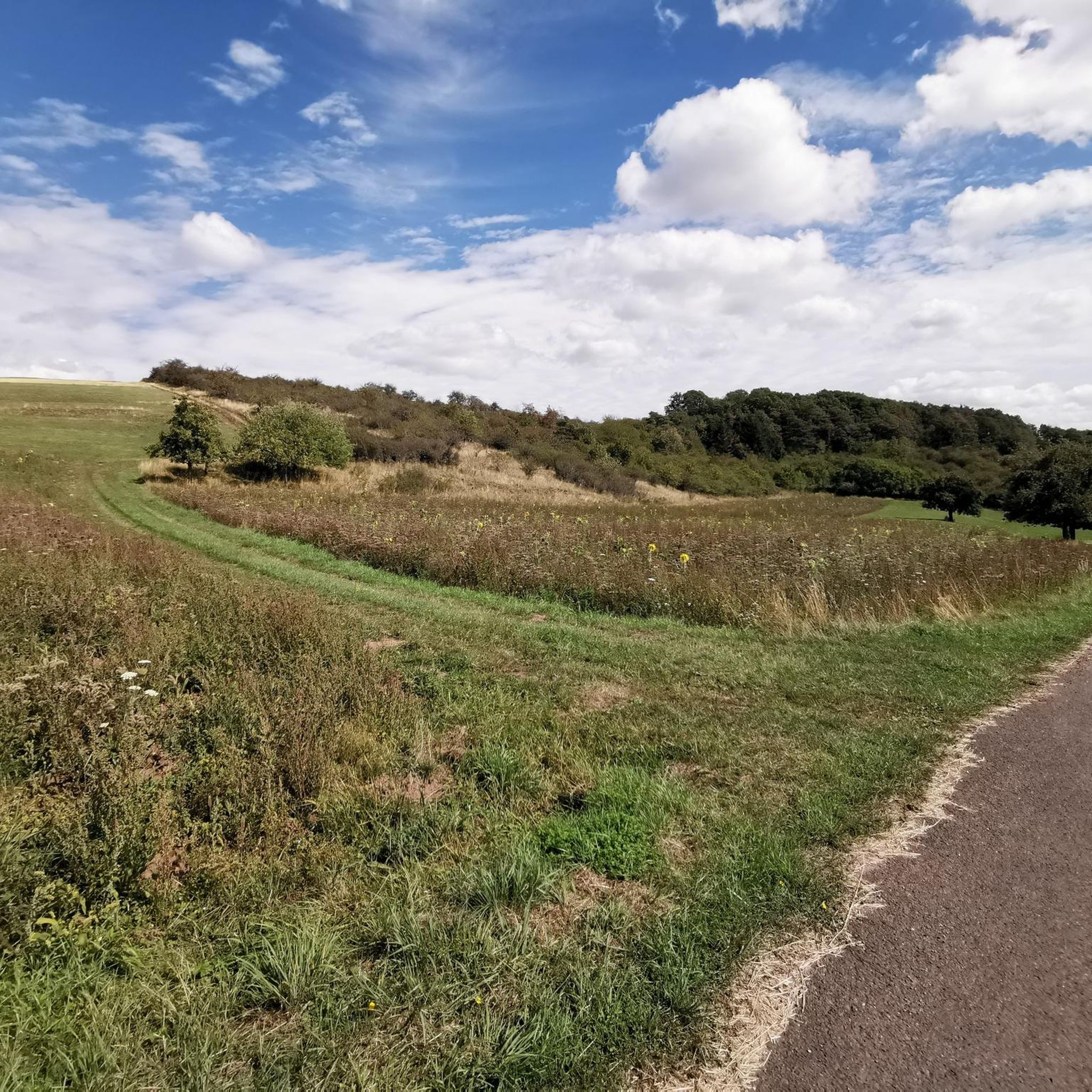
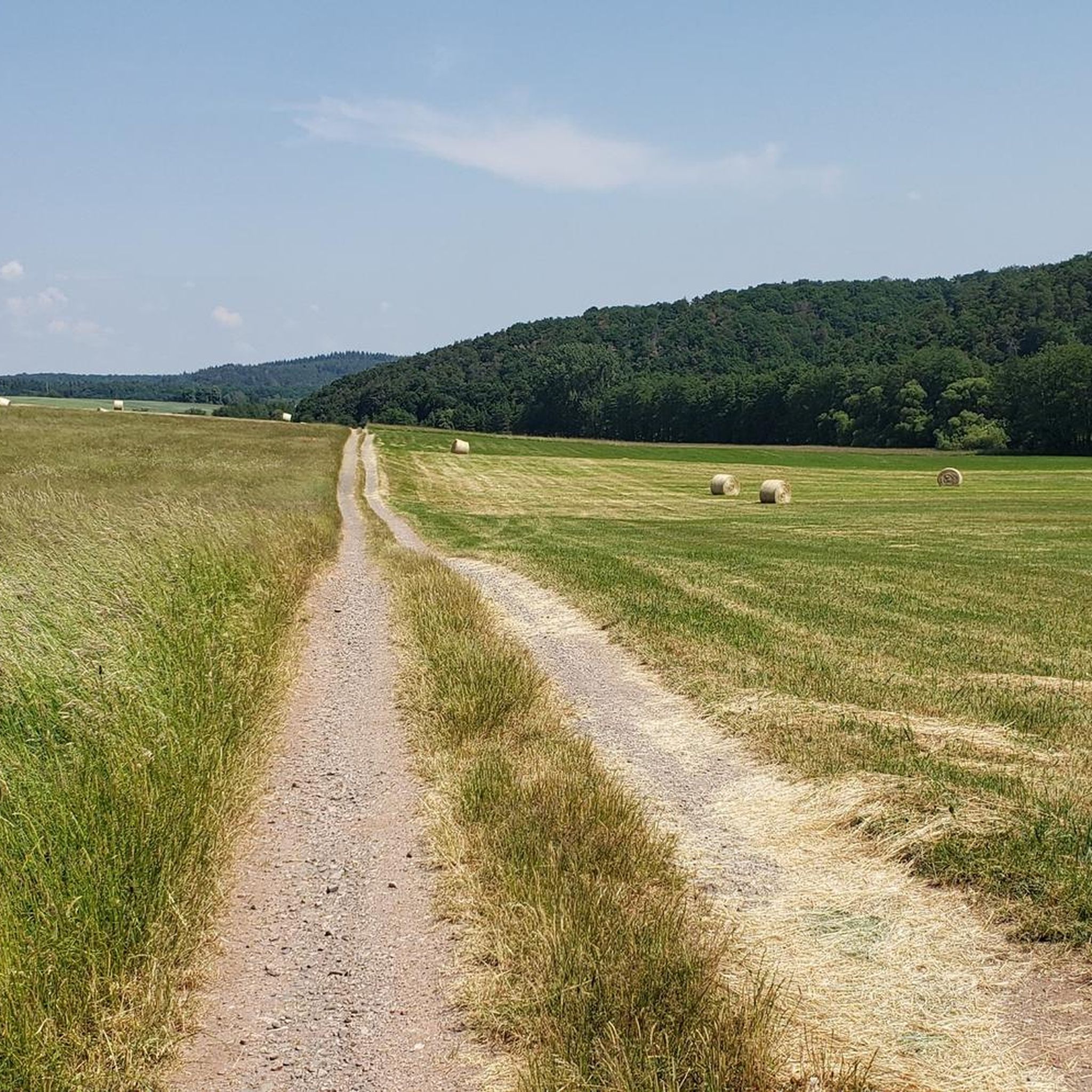

Tips from the Community

Beautiful bench with an integrated animal figure and a great view of the valley.
0
0
Old oak that keeps sprouting despite all the adversities.
0
0

This small vantage point is located away from the donkey trail
0
0

This is where the Antesmühle stood, which gave the valley its name.
0
0

Description see photo of information board
1
0
Mythical oak that is 550 years old
2
0
Great panoramic view from Galgenberg
1
0
Frequently Asked Questions
How many hiking trails are available around Unterjeckenbach?
There are over 350 hiking routes in the Unterjeckenbach area, catering to various preferences. This includes more than 170 easy trails, 160 moderate routes, and a selection of more challenging hikes.
What kind of terrain can I expect on hikes near Unterjeckenbach?
The terrain around Unterjeckenbach is diverse, characterized by gentle hills, verdant meadows, and dense forests, often interwoven with narrow valleys. You'll find tranquil paths following streams like the Auersbach, as well as routes that ascend to elevations over 400 meters, offering expansive views. The region sits between the Palatinate Forest and the Hunsrück, providing a mix of landscapes from serene forest paths to more open countryside.
Are there any easy hiking trails suitable for beginners or casual walkers?
Yes, the Unterjeckenbach area offers over 170 easy hiking trails. These routes typically feature less elevation gain and shorter distances, making them ideal for beginners or those seeking a relaxed stroll. An example of a shorter, easier route is the Kirrweiler Countryside – Panoramic view loop from Kirrweiler, which is about 6 km long.
Can I find circular hiking routes in the Unterjeckenbach area?
Yes, many of the hiking routes around Unterjeckenbach are circular, allowing you to start and end at the same point. For instance, the Eselbrücke Kohlenhütte – Junkerwaldblick Viewpoint loop from Sienhachenbach is a popular circular trail offering forest paths and viewpoints.
What natural features or landmarks can I see while hiking around Unterjeckenbach?
While hiking, you can explore various natural features and historical landmarks. The region is known for its narrow valleys, such as the Rosental, and streams like the Auersbach. You might encounter the Rest area at the source of the Auersbach, or discover gorges like the Wild Garlic Gorge or Kimmelingschlucht Gorge. Historical points of interest include the Historic Lauter Bridge and the majestic Schloss Jeckenbach, which crowns a small hill.
Are there specific trails recommended for families with children?
The gentle hills and varied landscapes around Unterjeckenbach offer many suitable options for families. Easy and moderate trails through forests and meadows are generally well-suited for children. Look for shorter, less strenuous circular routes, such as the Kirrweiler Countryside – Panoramic view loop from Kirrweiler, which provides an enjoyable experience without being too demanding.
What is the best time of year to go hiking in Unterjeckenbach?
The region around Unterjeckenbach is beautiful year-round, but spring and autumn are particularly enchanting. In spring, the meadows burst with vibrant blossoms, while autumn transforms the landscape with colorful foliage. These seasons offer pleasant temperatures for hiking and stunning natural scenery.
What do other hikers enjoy most about hiking in Unterjeckenbach?
The hiking experiences around Unterjeckenbach are highly rated by the komoot community, with an average score of 4.6 stars from over 1200 reviews. Hikers often praise the tranquil, untouched landscapes, the diverse scenery of forests and meadows, and the well-maintained paths that cater to various skill levels.
Where can I find parking for hiking trails in Unterjeckenbach?
Parking is generally available at the starting points of many trails and in the villages surrounding Unterjeckenbach. Specific parking information is often provided on individual route descriptions. It's advisable to check the details for your chosen trail before you set out.
Is public transport available to reach hiking starting points in Unterjeckenbach?
While Unterjeckenbach is a smaller village, public transport options exist to reach the broader region. For specific trailheads, it's recommended to check local bus schedules or consider driving, as direct public transport access to all starting points might be limited. Lauterecken, a nearby town, serves as a hub for various routes and may offer better public transport connections.
Are there any huts or facilities along the hiking routes?
Yes, there are several huts and facilities in the wider area that can be found along or near hiking routes. Examples include the Waldhaus Grill Hut (Baumholder City Forest), the Schinderhannes Hut, and the Ringmauer Hut. These can offer a place to rest or shelter during your hike.
What are the rules for hiking with dogs in Unterjeckenbach?
Generally, dogs are welcome on hiking trails in the Unterjeckenbach region. However, it's always recommended to keep dogs on a leash, especially in forested areas, near wildlife, or when passing through agricultural land. Please ensure you clean up after your dog to maintain the natural beauty of the trails.
Most popular routes around Unterjeckenbach
Most popular attractions around Unterjeckenbach

Get inspired with the komoot mobile app


Explore more
Browse the best Hikes in other regions.
