The best MTB trails around Unterjeckenbach
4.7
(1203)
1,690
riders
142
rides
Mountain biking around Unterjeckenbach offers diverse terrain characterized by rolling hills and dense forests. The region is situated in the narrow Jeckenbach valley, with surrounding elevations rising to over 400 meters above sea level, including the Gerhardsberg at 454.5 meters. This topography provides a natural environment with varied elevation changes and technical sections suitable for mountain biking. The area features numerous paths and trails, making it an appealing destination for outdoor enthusiasts.
Best mountain bike trails around Unterjeckenbach
- The most…
Last updated: July 1, 2026
4.8
(16)
54
riders
70.7km
04:12
560m
560m
Moderate mountain bike ride. Good fitness required. Suitable for all skill levels.
4.6
(18)
39
riders
54.4km
03:37
610m
610m
Moderate mountain bike ride. Good fitness required. Suitable for all skill levels.

Sign up for free
5.0
(8)
30
riders
79.9km
04:33
400m
400m
Moderate mountain bike ride. Good fitness required. Suitable for all skill levels.
4.9
(91)
60
riders
53.5km
02:55
340m
340m
Moderate mountain bike ride. Good fitness required. Suitable for all skill levels.
4.6
(21)
51
riders
36.6km
02:16
300m
300m
Moderate mountain bike ride. Good fitness required. Suitable for all skill levels.
Get access to more routes and recommendations from other explorers.
Sign up for free
Already have an account?
Our route recommendations are based on thousands of hikes, rides, and runs completed by other people on komoot.
Start today with a free account
Your next adventure awaits.
Login or Signup
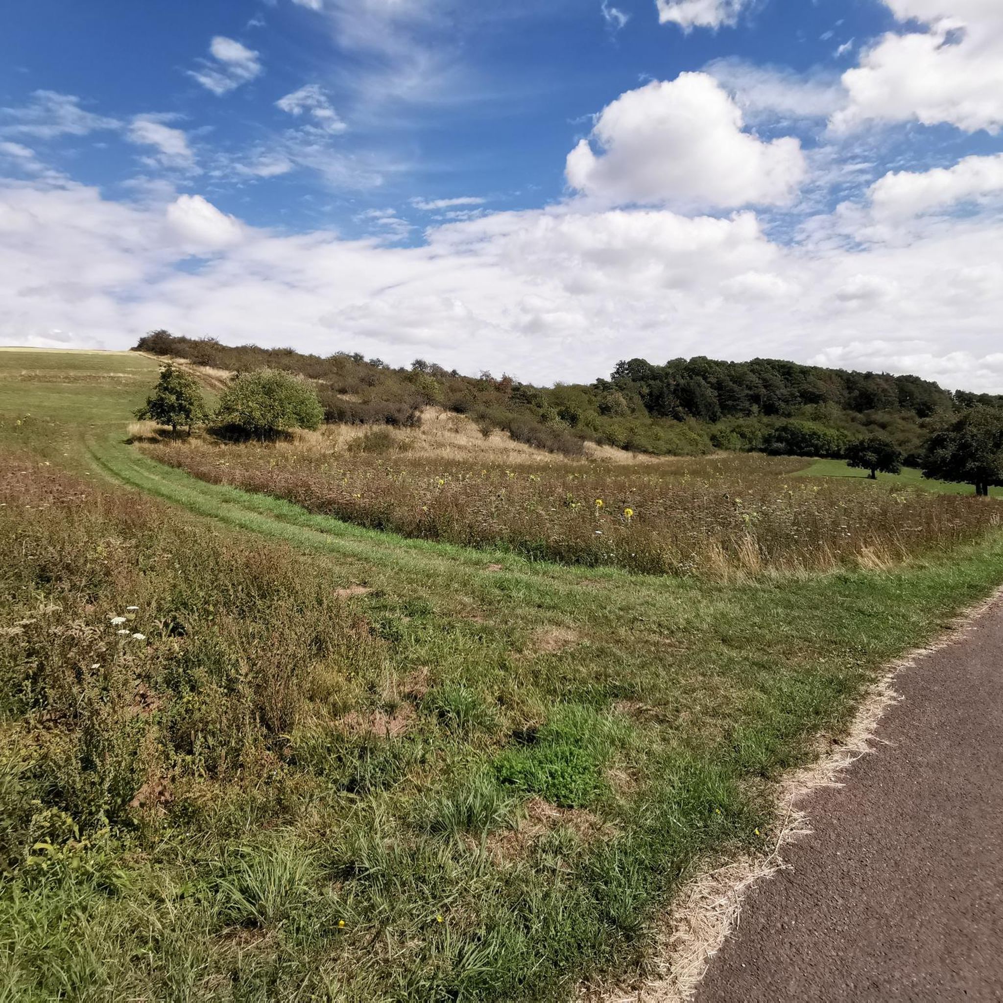
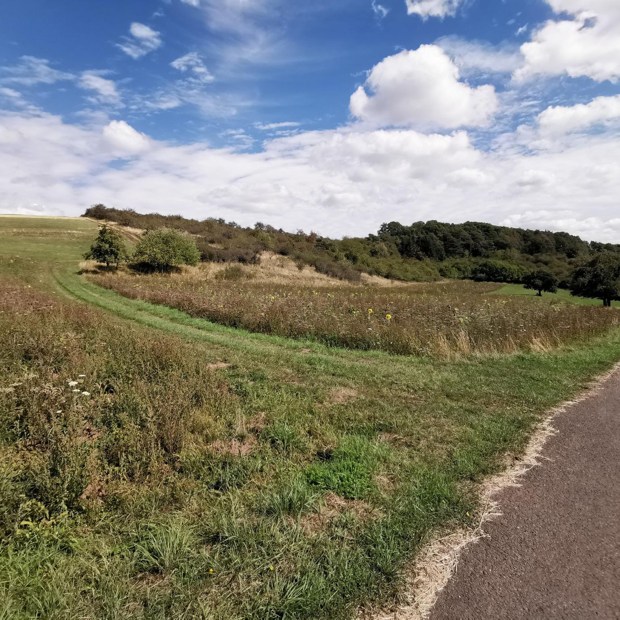
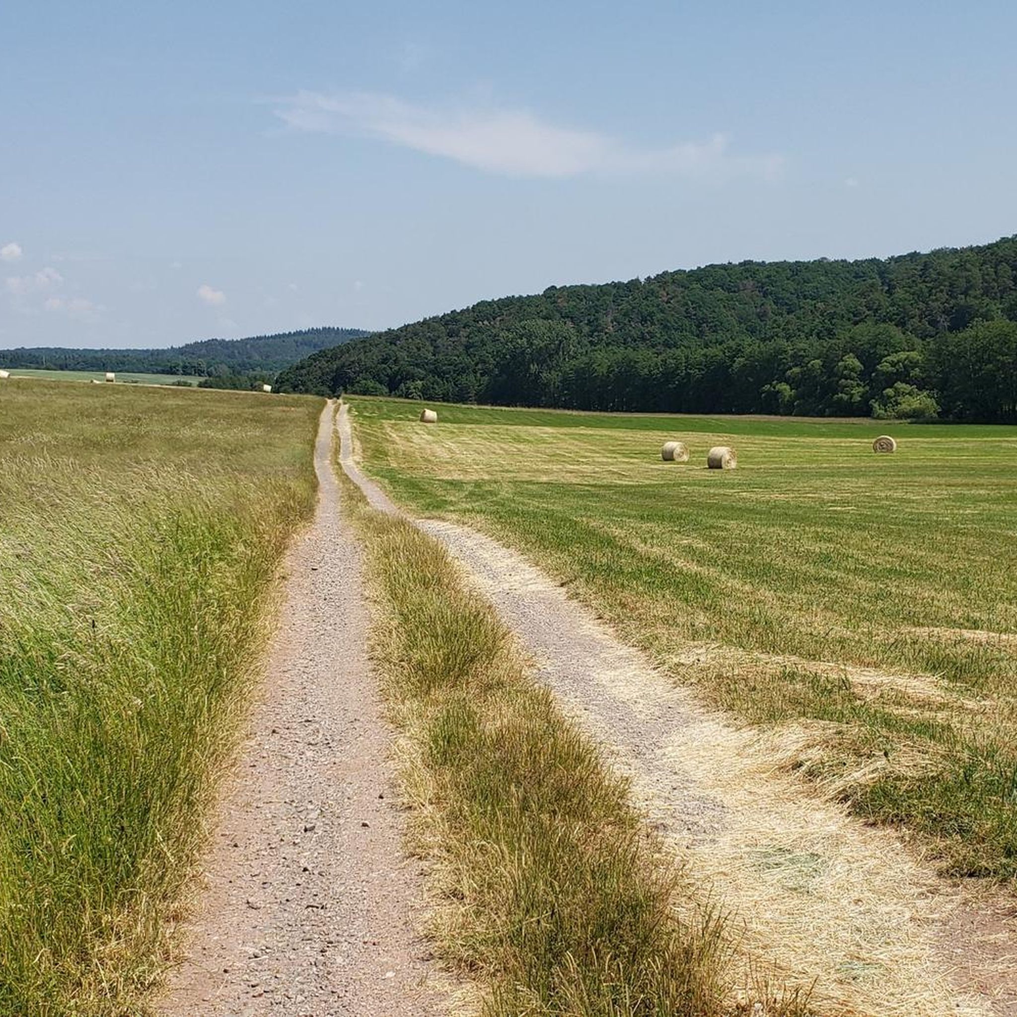
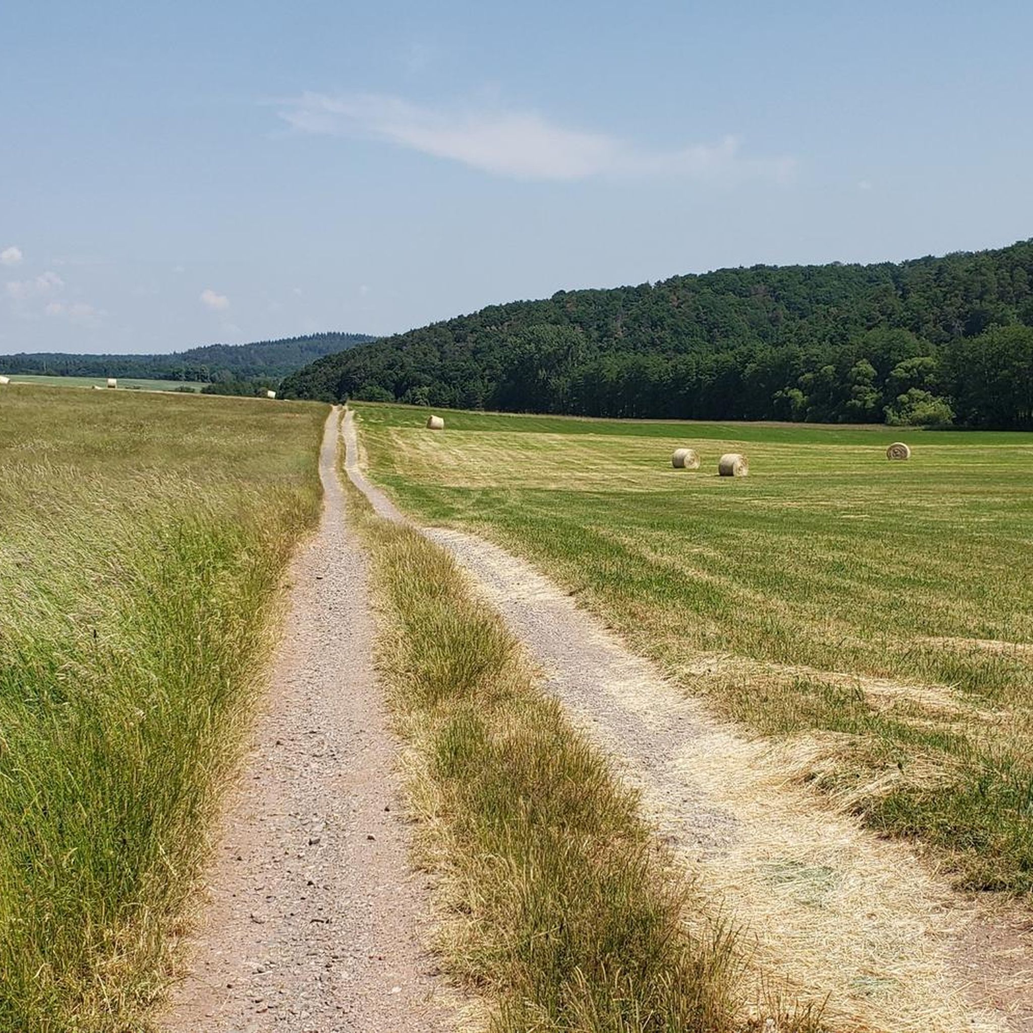

Tips from the Community

It's very shallow here because there's a car underpass, great for kids too
0
0

Beautiful spot with lots of water
0
0
Very cool bike path 🚴♂️
0
0

When you drive through the gate you come to a very good little cafe.
1
0

Baroque residential and guest house, before 1768 (possibly from the 17th century)
2
0

Very nice rest area with swing and view
0
0

The abbey cherry in Offenbach-Hundheim is always an eye-catcher when you drive through the town. With a bit of luck, the church is open and you can also visit it.
0
0

Frequently Asked Questions
How many mountain bike trails are available around Unterjeckenbach?
There are over 160 mountain bike trails around Unterjeckenbach listed on komoot. These routes cater to various skill levels, from leisurely forest paths to more challenging single trails.
What is the typical terrain like for mountain biking in Unterjeckenbach?
The terrain around Unterjeckenbach is characterized by rolling hills and dense forests, with elevations rising to over 400 meters above sea level. You'll encounter varied elevation changes, technical sections with roots and rocks, and scenic paths through valleys like the Jeckenbach and Auersbachtal.
What are the difficulty levels of mountain bike trails in Unterjeckenbach?
The trails around Unterjeckenbach offer a good mix of difficulties. Out of 162 routes, 29 are considered easy, 123 are moderate, and 10 are difficult. This ensures options for beginners looking for relaxed rides and experienced riders seeking more technical challenges.
Are there any circular mountain bike trails in Unterjeckenbach?
Yes, many of the mountain bike trails around Unterjeckenbach are designed as circular routes. For example, the Eselbrücke Kohlenhütte – Eselspfad Trail loop from Sien is a moderate 30.4 km loop that offers varied terrain.
What natural features can I see while mountain biking around Unterjeckenbach?
The region boasts several natural highlights. You can explore the tranquil Auersbach Valley Trail with its rippling water and mossy banks, or discover the Wildfrauenloch (Wild Women's Cave). Other natural monuments include the Erdesbach Weir on the Glan and the Wartekopf Nature Reserve.
Are there any interesting landmarks or attractions near the trails?
Beyond natural beauty, you can encounter historical landmarks. The nearby town of Lauterecken features the Historic Lauter Bridge and the Glan Bridge with its Nepomuk statue. The Glan-Blies Cycle Path also offers additional scenic cycling opportunities in the wider area.
What do other mountain bikers enjoy about the trails in Unterjeckenbach?
The mountain bike trails in Unterjeckenbach are highly rated by the komoot community, with an average score of 4.7 stars from over 1,100 reviews. Riders often praise the diverse terrain, the challenging single trails, and the scenic beauty of the forested hills and valleys.
Where can I park my car when mountain biking in Unterjeckenbach?
While specific parking spots vary by trailhead, general parking is often available in and around Unterjeckenbach and the starting points of popular routes in nearby villages like Kappeln or Kirchenbollenbach. Look for designated parking areas near trailheads or village centers.
Can I reach the mountain bike trails in Unterjeckenbach by public transport?
Access to Unterjeckenbach and surrounding areas by public transport is possible, though it might require some planning. Regional bus services connect the smaller villages, and train stations in larger nearby towns like Lauterecken can serve as starting points for rides, potentially linking to the Glan-Blies Cycle Path.
Are there family-friendly mountain bike trails in Unterjeckenbach?
Yes, among the 29 easy routes, you can find paths suitable for families. These typically follow wider forest roads or less technical sections, allowing for a more relaxed riding experience. Always check the route details on komoot for specific difficulty ratings and terrain descriptions to ensure it matches your family's skill level.
Are dogs allowed on the mountain bike trails in Unterjeckenbach?
Generally, dogs are welcome on many trails in the region, especially on forest paths. However, it's crucial to keep them on a leash, particularly in nature reserves or areas with wildlife, and to respect local regulations. Always be mindful of other trail users.
Are there places to eat or drink near the mountain bike trails?
Yes, you'll find various cafes, restaurants, and guesthouses in Unterjeckenbach and the surrounding villages. For example, the Small Pond – Landgasthof Schuck loop from Kirchenbollenbach passes by a guesthouse, offering a convenient stop for refreshments.
What is the best time of year for mountain biking in Unterjeckenbach?
The spring and autumn months generally offer the most pleasant conditions for mountain biking in Unterjeckenbach, with milder temperatures and vibrant scenery. Summer can also be great, but it's advisable to ride earlier in the morning or later in the afternoon to avoid the midday heat. Winter riding is possible, but trails may be muddy or icy, requiring appropriate gear and caution.
Most popular routes around Unterjeckenbach
Most popular attractions around Unterjeckenbach

Get inspired with the komoot mobile app


Explore more
Browse the best MTB trails in other regions.
