The best mountain hikes around Sillano Giuncugnano
4.8
(11)
93
hikers
12
hikes
Mountaineering routes around Sillano Giuncugnano traverse a rugged and diverse landscape, situated at the northernmost point of Lucca within the Tuscan-Emilian Apennines National Park. The region features majestic mountains, dense forests, and varied terrain, bordering the Orecchiella National Park. Prominent natural features include the Argegna Plateau, offering expansive meadows and views of the Apuan Alps, and numerous mountain passes and peaks that define the area's mountaineering appeal. This area provides extensive opportunities for engaging with the vertical world, from challenging…
Last updated: June 29, 2026
5.0
(4)
31
hikers
6.49km
03:30
540m
540m
Hard mountaineering route. Good fitness required. Sure-footedness, sturdy shoes and alpine experience required.
5.0
(3)
17
hikers
10.4km
05:31
800m
800m
Hard mountaineering route. Very good fitness required. Sure-footedness, sturdy shoes and alpine experience required.

Sign up for free
5.0
(3)
16
hikers
Hard mountaineering route. Very good fitness required. Sure-footedness, sturdy shoes and alpine experience required.
6
hikers
12.8km
04:54
740m
750m
Moderate mountaineering route. Good fitness required. Mostly accessible paths. Sure-footedness required.
6
hikers
12.5km
05:50
890m
900m
Hard mountaineering route. Very good fitness required. Sure-footedness, sturdy shoes and alpine experience required.
Get access to more routes and recommendations from other explorers.
Sign up for free
Already have an account?
Our route recommendations are based on thousands of hikes, rides, and runs completed by other people on komoot.
Start today with a free account
Your next adventure awaits.
Login or Signup
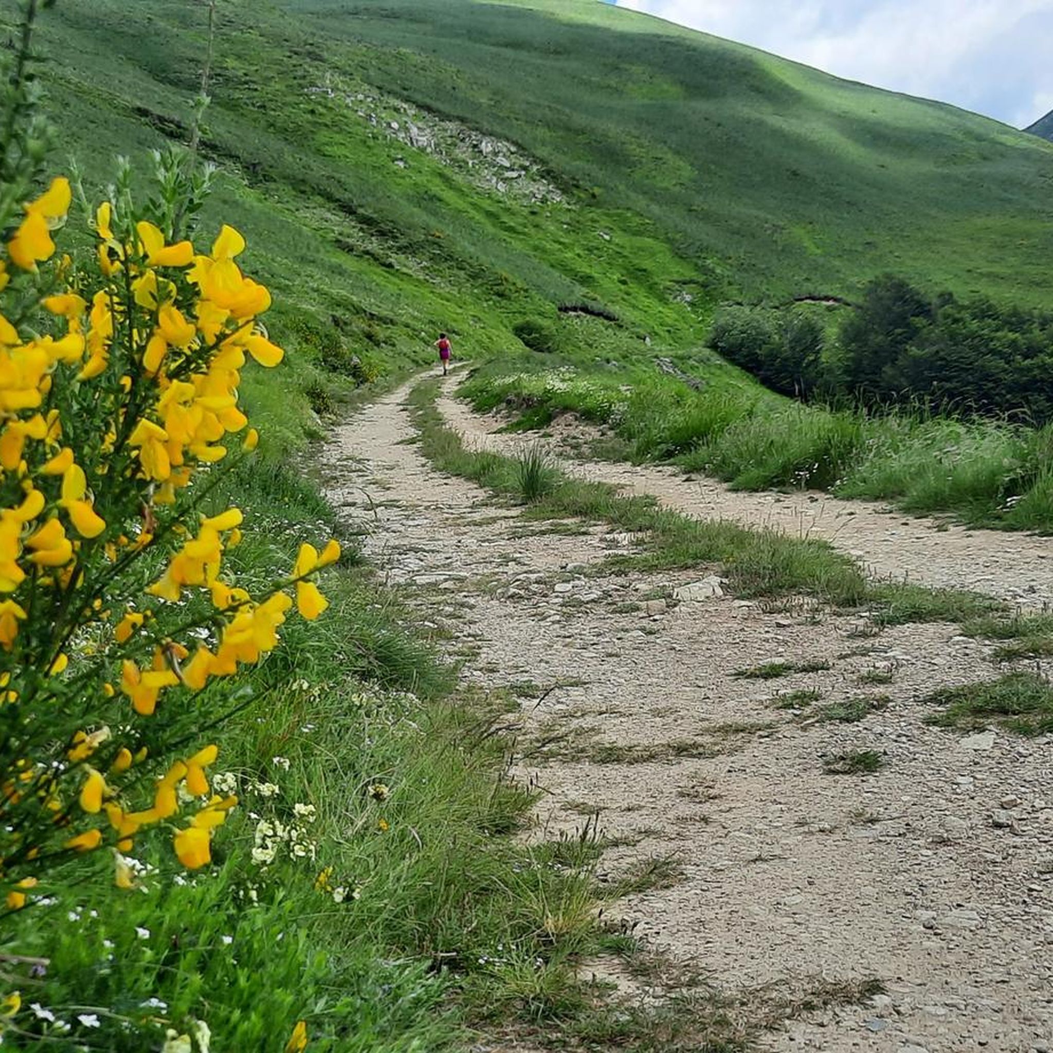
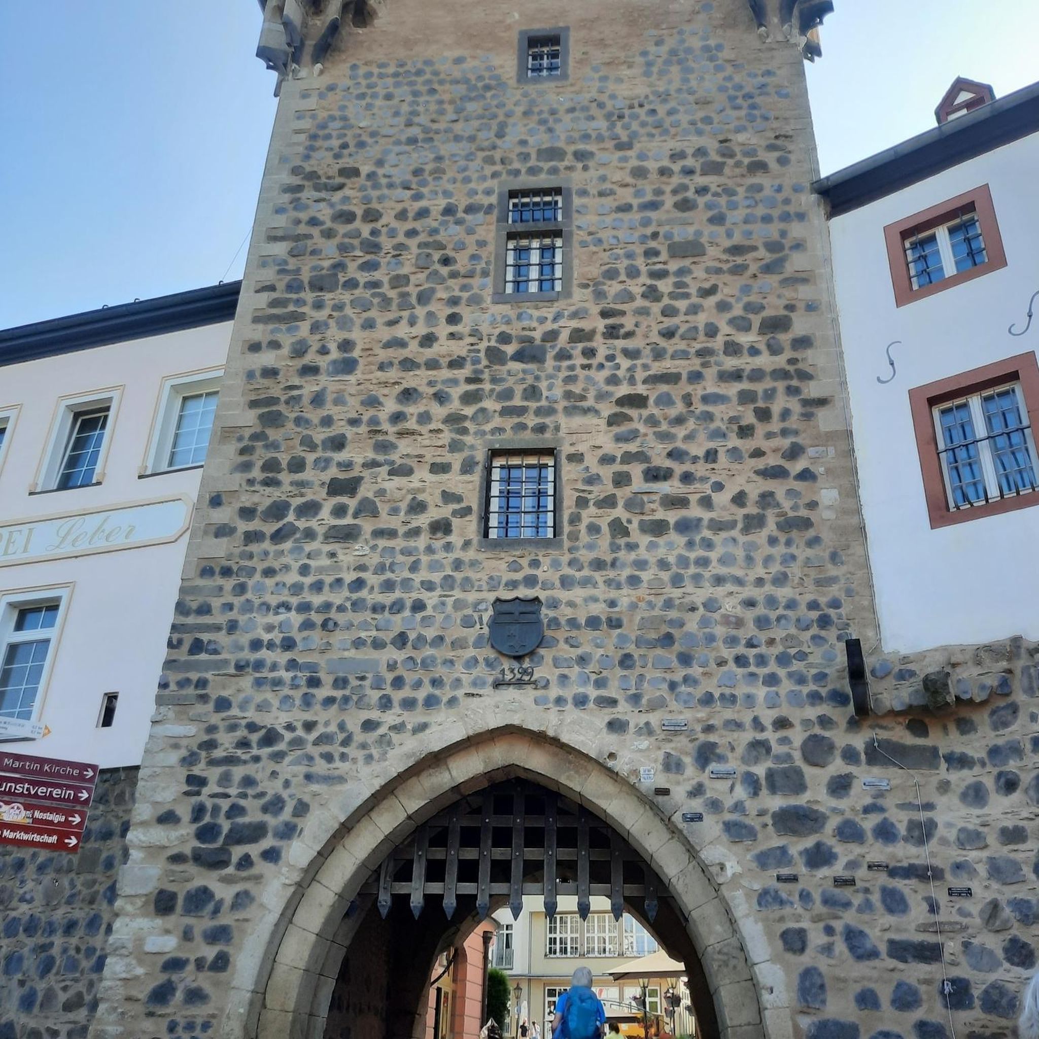
Tips from the Community

The Passo di Lama Lite is a very important mountain pass located at an altitude of 1,749 meters in the Alto Appennino Reggiano, on the border between Emilia-Romagna and Tuscany. It is located in the heart of the Tuscan-Emilian Apennine National Park. This pass serves as a fundamental watershed between the valley of the Dolo stream and the valley of the Ozola stream, positioned at the foot of the Monte Prado massif and offering a splendid view of Monte Cusna.
0
0

The Oasis of Campocatino is a mountain locality in the Apuan Alps, in the municipality of Vagli di Sotto, located at 1000 m above sea level, beneath the imposing wall of Monte Roccandagia. It includes a large basin of glacial origin, a testament to the extent of Quaternary glaciation in the Apennine area. Inside, we find the typical pastoral buildings called "caselli," which have been preserved with their ancient construction characteristics. Since 1991, it has become a "LIPU Natural Oasis." The coexistence of different environments and the natural integrity of the area have allowed the acclimatization of various bird species that reproduce there. Along the rocky walls, the Alpine chough and the Wallcreeper nest; in the high-altitude meadows and pastures, the Skylark, the Rufous-tailed Rock Thrush, the Wheatear, and the Greater Short-toed Lark are observed, while the woods below are populated by the Blackcap, the Goldfinch, the Chaffinch, the Brambling, the Firecrest, the Dartford Warbler, the Robin, the Eurasian Nuthatch, the Song Thrush, the Mistle Thrush, the Wren, and four species of tits: Great Tit, Blue Tit, Coal Tit, and Marsh Tit. Biodiversity is also present among the birds of prey that inhabit the area: the Tawny Owl, the Kestrel, the Eagle Owl, the Common Buzzard, the Sparrowhawk, and sometimes the Eagle soars over the area in search of prey. A little curiosity: in 1998 Campocatino was the film set for the movie "il mio west" directed by Giovanni Veronesi, starring Leonardo Pieraccioni, Harvey Keitel, David Bowie, and Alessia Marcuzzi. In memory of David Bowie's presence, a statue has been placed near the stone houses to commemorate his time there.
0
0

Easy to reach and convenient for starting your walk.
0
0
From the outside, it's a beautiful refuge. We couldn't see the inside because it was closed. It's easily accessible by parking in Case di Civago.
0
0
Large stone fountain with significant water flow (at least in January)
0
0

The canal is sometimes subject to landslides, but is easily accessible from the southern slope of the Pisanino.
0
0
The King of the Apuan Alps, unmissable, but not for everyone
0
0
Convenient starting point for excursions in this suggestive valley of the Apuan Alps
0
0
Frequently Asked Questions
How many mountaineering routes are available in Sillano Giuncugnano?
Sillano Giuncugnano offers a diverse network of over 15 mountaineering routes. These trails traverse the rugged landscapes of the Tuscan-Emilian Apennines National Park and border the Orecchiella National Park, providing a wide range of experiences for different skill levels.
What is the best time of year for mountaineering in Sillano Giuncugnano?
The warmer months, from late spring to early autumn, generally offer the most favorable conditions for mountaineering in Sillano Giuncugnano. During this period, the mountain passes are typically clear of snow, and the weather is more stable. However, some routes, especially those at higher altitudes or involving technical sections, may be accessible into late autumn depending on snow conditions. Winter mountaineering is possible but requires specialized equipment and experience due to snow and ice.
Are there any beginner-friendly mountaineering routes in the area?
While many routes in Sillano Giuncugnano are rated as difficult, there are a few options that are less demanding, suitable for those with some hiking experience looking to transition into mountaineering. For example, some sections around the Argegna Plateau offer more accessible terrain before tackling higher peaks. Always check the route details for elevation gain and technical requirements.
What kind of challenges can I expect on advanced mountaineering trails?
Advanced mountaineering trails in Sillano Giuncugnano, particularly those in the Apuan Alps or leading to prominent peaks, often involve significant elevation gains (over 800 meters), long durations (5+ hours), and technical sections like via ferratas or exposed rock faces. An example of a challenging route is the Summit of Monte Pisanino – Val Serenaia Mountain Hut loop from Monte Pisanino, which demands good fitness and alpine experience.
Are there any circular mountaineering routes in Sillano Giuncugnano?
Yes, several mountaineering routes in Sillano Giuncugnano are designed as loops, allowing you to start and end at the same point. An example is the San Leonardo al Dolo Refuge loop from Civago, which offers a substantial challenge while bringing you back to your starting point.
What interesting landmarks or attractions can I see near the mountaineering routes?
The region is rich in natural and historical landmarks. Along your mountaineering adventures, you might encounter significant mountain passes like Lama Lite Pass or Pradarena Pass. The San Pellegrino in Alpe settlement is also a notable point of interest. Additionally, the area features historical structures such as the Rocca di Camporgiano and the Verrucole Fortress, offering glimpses into the region's past.
Is it possible to find parking near the trailheads?
Parking availability varies by trailhead. Many popular starting points for mountaineering routes, especially those near villages like Febbio, Civago, or Minucciano, typically have designated parking areas. However, it's always advisable to check specific route information or local maps in advance, especially during peak season, as spaces can be limited.
Are there any permits required for climbing or specific mountaineering routes?
Generally, permits are not required for standard mountaineering routes in the Tuscan-Emilian Apennines National Park or Orecchiella National Park. However, for specific technical climbs, via ferratas, or guided activities, it's always best to check with local alpine guides or park authorities for any specific regulations or safety requirements. Always respect local guidelines and protected areas.
What do other mountaineers enjoy most about the routes in Sillano Giuncugnano?
The mountaineering routes in Sillano Giuncugnano are highly rated by the komoot community, with an average score of 4.8 stars. Reviewers frequently praise the dramatic landscapes of the Apuan Alps, the challenging ascents, and the sense of immersion in the untouched Apennine wilderness. The varied terrain, from dense forests to high mountain passes, is also a common highlight.
Are there any opportunities for wild swimming after a mountaineering trip?
While not directly adjacent to all mountaineering trailheads, the region does offer picturesque spots for relaxation. The Vicaglia Artificial Lake, encircled by chestnut woods, is a beautiful location. While primarily known for fishing, its serene environment could offer a refreshing stop, though specific wild swimming regulations should be checked locally.
Can I find cafes or places to eat near the mountaineering trails?
Many mountaineering routes in Sillano Giuncugnano pass near or lead to mountain huts (rifugi) such as the Cesare Battisti Hut, which often provide food and refreshments. Additionally, the small villages and towns surrounding the parks, like Sillano or Giuncugnano, offer cafes, restaurants, and grocery stores where you can refuel before or after your adventure.
Are there any family-friendly mountaineering options?
While many mountaineering routes are challenging, families with older children who have some hiking experience might find certain sections or lower-altitude trails suitable. The Argegna Plateau, with its expansive meadows and woodlands, offers more accessible paths that can be a good introduction to the region's natural beauty before attempting more strenuous climbs. Always assess the difficulty and duration carefully for younger participants.
Most popular routes around Sillano Giuncugnano
Most popular attractions around Sillano Giuncugnano

Get inspired with the komoot mobile app


Explore more
Browse the best Mountain Hikes & Routes in other regions.
