The best gravel rides around Sillano Giuncugnano
5.0
(2)
32
riders
7
rides
Gravel biking around Sillano Giuncugnano offers routes through the mountainous terrain of the Apennines, characterized by forested slopes, river valleys, and high-altitude passes. The region, situated between the Tuscan-Emilian Apennines National Park and the Orecchiella National Park, features a mix of unpaved roads and tracks suitable for gravel bikes. These trails often involve significant elevation changes, navigating through natural landscapes and connecting small villages. The area provides a setting for challenging rides on varied surfaces, with notable features like the…
Last updated: November 2, 2026
5.0
(1)
7
riders
31.3km
02:43
900m
900m
Hard gravel ride. Very good fitness required. Mostly paved surfaces.
6
riders
29.2km
02:25
950m
960m
Hard gravel ride. Very good fitness required. Mostly paved surfaces.

5.0
(1)
5
riders
37.5km
03:16
1,160m
1,160m
Hard gravel ride. Very good fitness required. Mostly paved surfaces.
4
riders
85.3km
07:04
2,800m
2,800m
Hard gravel ride. Very good fitness required. Mostly paved surfaces.
5
riders
27.4km
02:45
910m
910m
Hard gravel ride. Very good fitness required. Mostly paved surfaces.
Get access to more routes and recommendations from other explorers.
Already have an account?
Our route recommendations are based on thousands of hikes, rides, and runs completed by other people on komoot.
Start today with a free account
Your next adventure awaits.
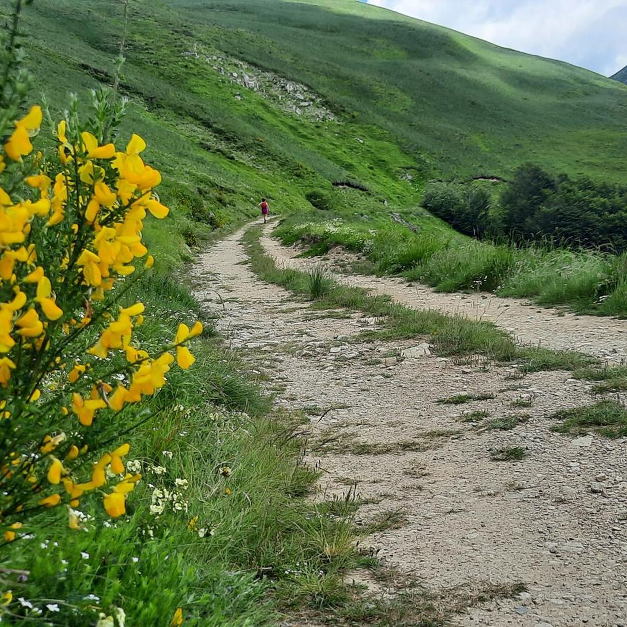
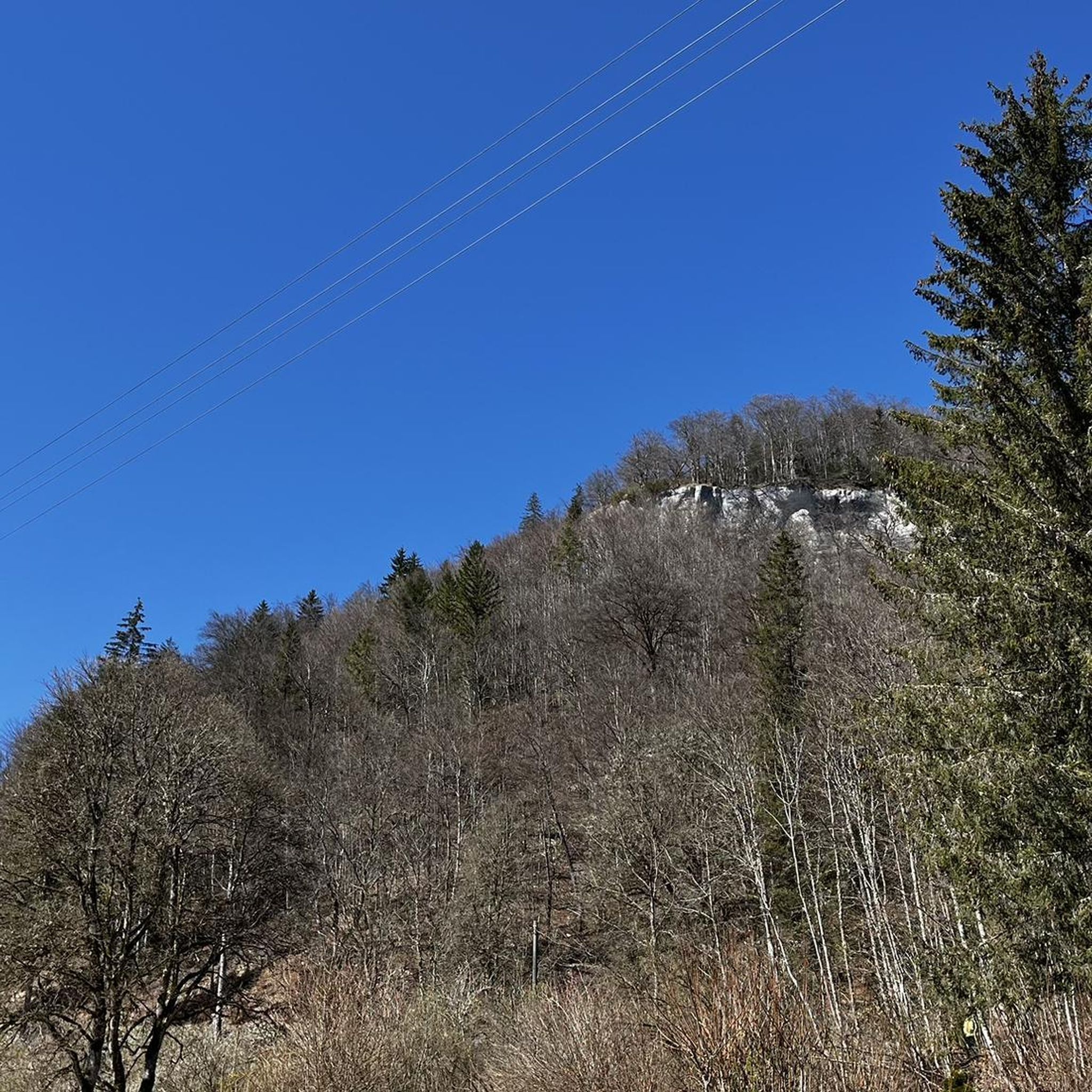
Tips from the Community

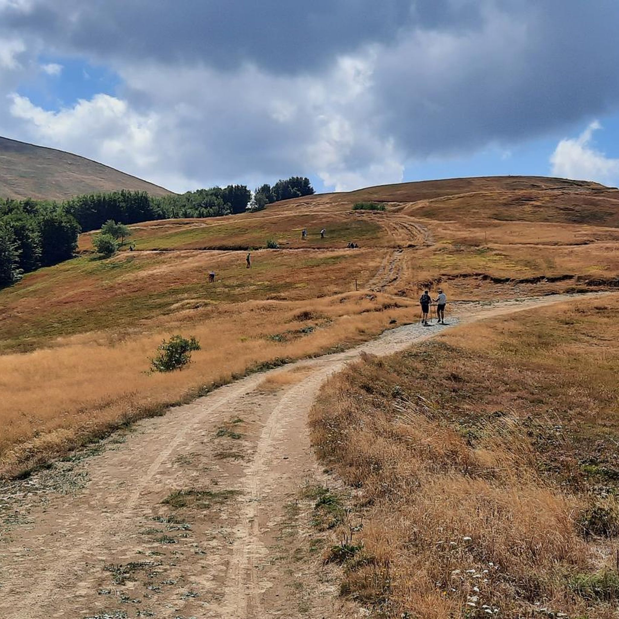
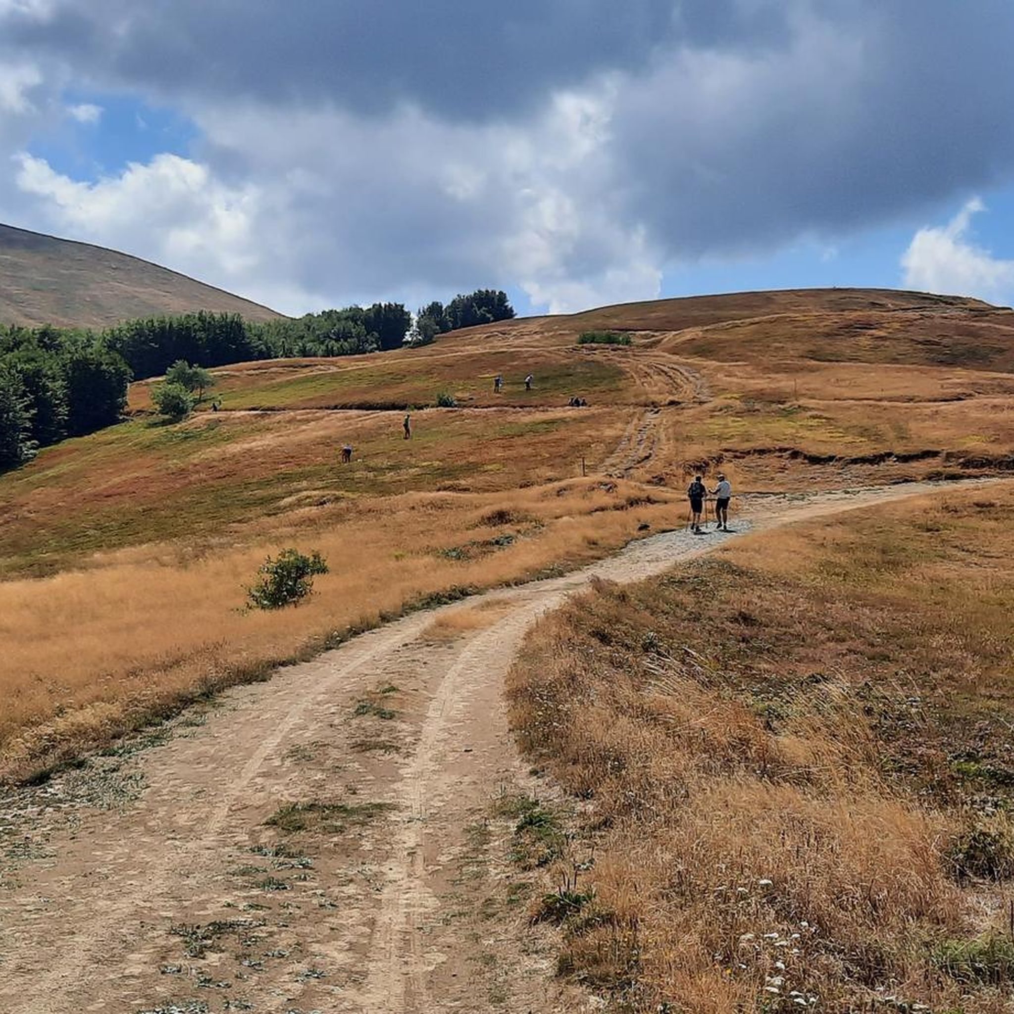
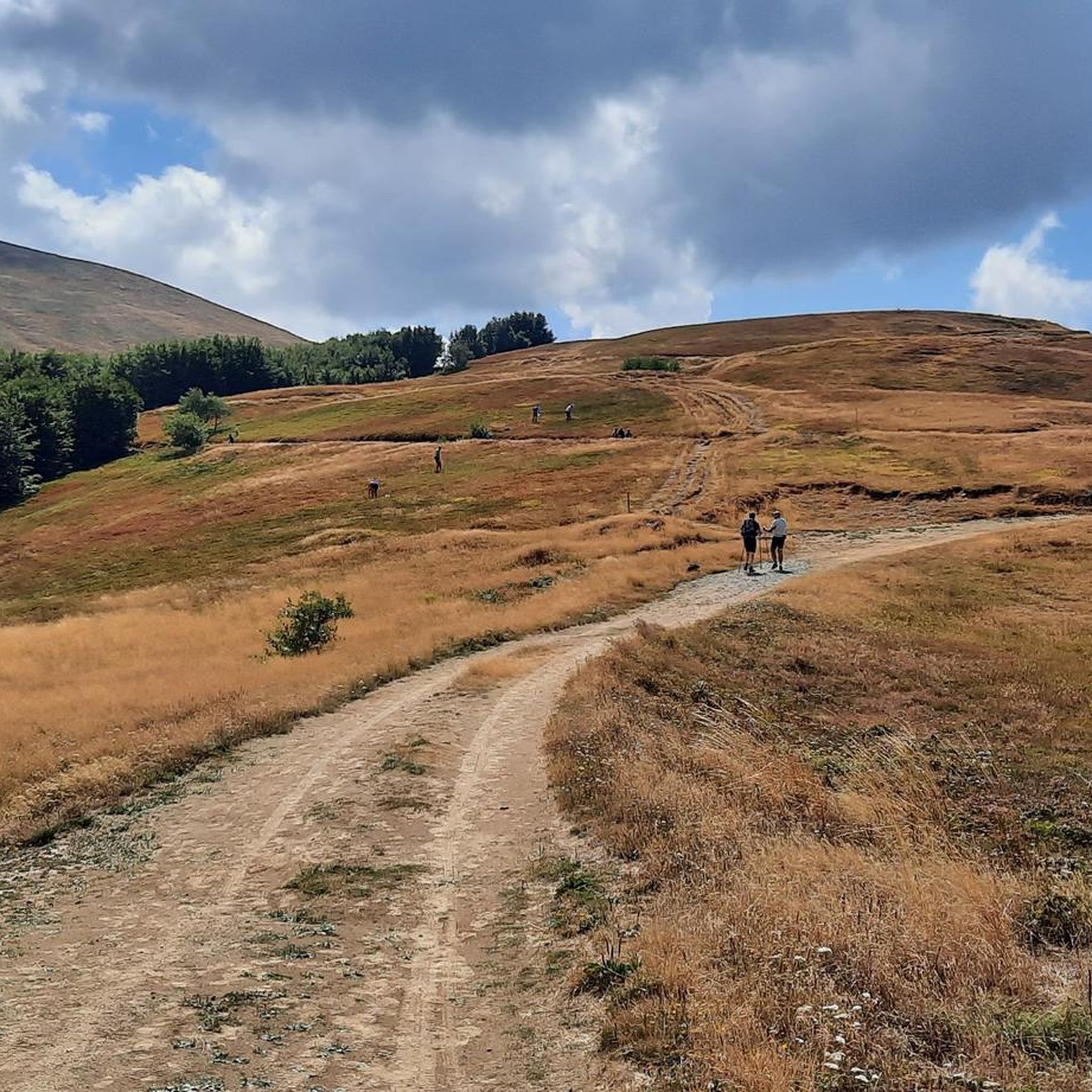
The Passo di Lama Lite is a very important hiking junction and mountain pass located at an altitude of 1,749 meters in the Alto Appennino Reggiano, right on the border with Tuscany. It is situated at the foot of Monte Prado and Monte Cusna, within the Tuscan-Emilian Apennine National Park.
0
0

rifugio Bargettana with its raspberry valley
0
0

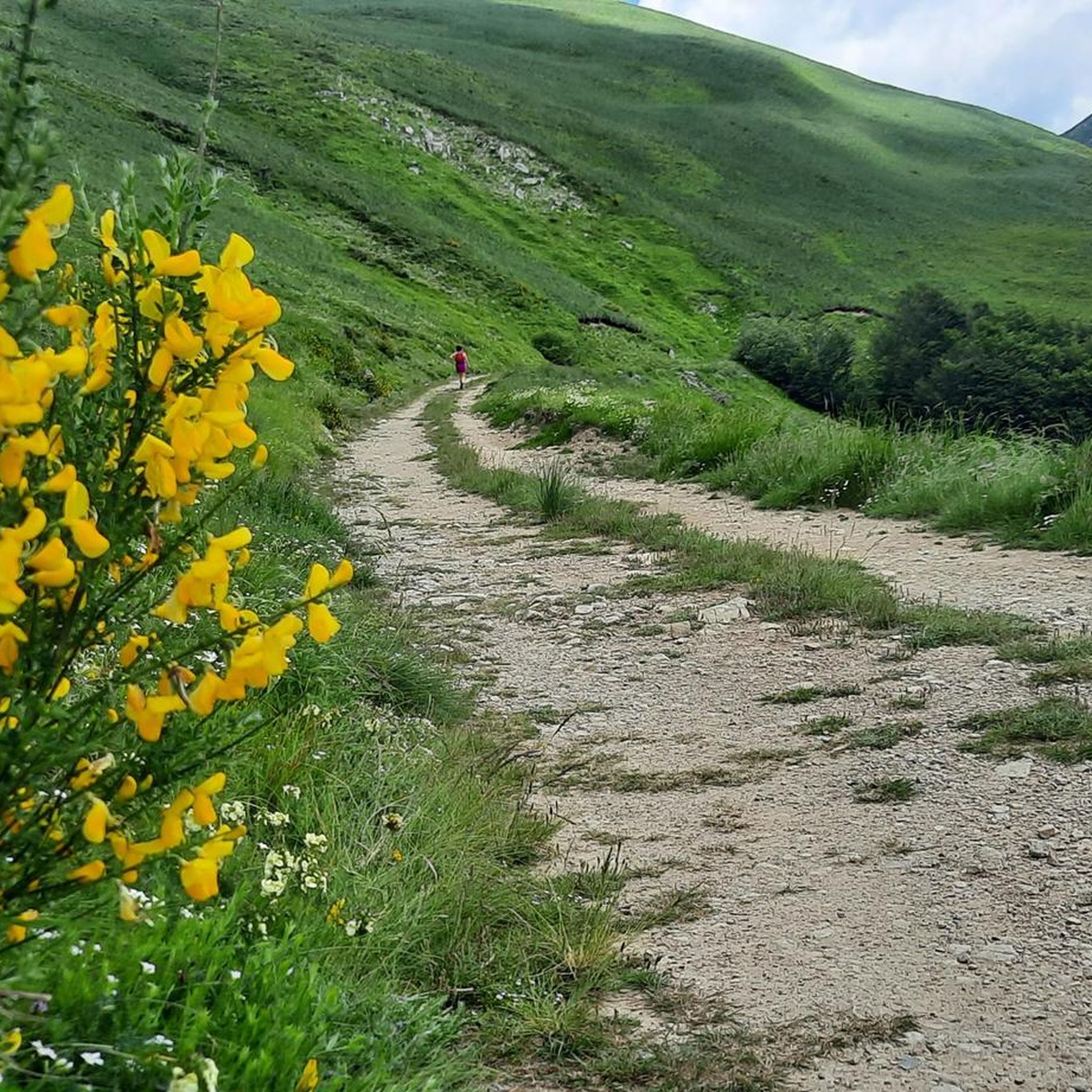
The Rifugio Bargetana is an alpine structure located at 1,740 meters above sea level in the upper Val d'Ozola, in the heart of the Tuscan-Emilian Apennine National Park at the foot of Monte Prado. It is family-run and is about a 15-minute walk from the homonymous glacial lake of Bargetana.
0
0
The Passo di Lama Lite is a very important mountain pass located at an altitude of 1,749 meters in the Alto Appennino Reggiano, on the border between Emilia-Romagna and Tuscany. It is located in the heart of the Tuscan-Emilian Apennine National Park. This pass serves as a fundamental watershed between the valley of the Dolo stream and the valley of the Ozola stream, positioned at the foot of the Monte Prado massif and offering a splendid view of Monte Cusna.
0
0
The lake of Gramolazzo is a lake in the Apuan Alps located near the homonymous village in the municipality of Minucciano. Of artificial origin, it was created in the second half of the 1900s, together with the lake of Vagli by SELT Valdarno for the hydroelectric use of the Serchio river and its tributaries. The lake, which has a surface area of one square kilometer and a volume of 3.8 million cubic meters, has both the Serchio di Gramolazzo as its inflow and outflow, one of the two branches that, joining near Piazza al Serchio, form the Tuscan river. Another important stream that flows into the lake is the Acqua Bianca stream, which coming from Mount Pisanino crosses the village of Gorfigliano. A large part of the water, however, is fed through a channel on the left bank, near the dam, which with a maximum flow rate of 20 cubic meters per second discharges the waters captured from the Serchio into the Sillano valley. The waters of the lake of Gramolazzo feed the Fabbriche power plant which in turn discharges them into the lake of Vagli.
0
0

A strategic crossroads of various mountain bike routes
1
0

Excellent refuge, the owners are kind and welcoming. We ate very well, but slept a little less, but only because the dormitory was crowded. Bring earplugs if necessary. ;)
1
0

important supply point on the route
0
0
Frequently Asked Questions
How many gravel bike trails are available around Sillano Giuncugnano?
There are 8 gravel bike routes documented around Sillano Giuncugnano on komoot. These trails primarily navigate the mountainous terrain of the Apennines, offering a mix of unpaved roads and tracks.
Are there any easy or beginner-friendly gravel bike trails in Sillano Giuncugnano?
While most routes around Sillano Giuncugnano are rated as difficult due to significant elevation changes, there is one moderate trail available. For beginners, it's advisable to check the elevation profiles and distances carefully before setting out.
What kind of terrain can I expect on gravel bike routes in this region?
The gravel bike routes in Sillano Giuncugnano feature mountainous terrain with forested slopes, river valleys, and high-altitude passes. You'll encounter a mix of unpaved roads and tracks, often involving challenging ascents and descents across the Apennine range.
Are there any long-distance gravel bike routes for experienced riders?
Yes, for experienced riders looking for longer distances, consider the Lake Gramolazzo – Lake Gramolazzo loop from Piazza al Serchio, which is 23.3 miles (37.5 km) long with over 1100 meters of elevation gain. Another challenging option is the Lama Lite Pass – Bargetana Hut loop from Casone di Profecchia, covering 19.4 miles (31.3 km).
What are some scenic viewpoints or natural attractions along the gravel trails?
Many routes offer panoramic views across the Apennine range. You can also find natural monuments like Lake Bargetana, Mount Prado, and Radici Pass. The Lama Lite Pass – Cesare Battisti Hut loop from Civago, for instance, is known for its panoramic vistas.
Are there any circular gravel bike routes available?
Yes, many of the gravel bike routes in Sillano Giuncugnano are loops. Examples include the Lama Lite Pass – Bargetana Hut loop from Casone di Profecchia, the Lama Lite Pass – Cesare Battisti Hut loop from Civago, and the Lake Gramolazzo – Lake Gramolazzo loop from Piazza al Serchio.
What is the best time of year to go gravel biking in Sillano Giuncugnano?
Given the mountainous nature of the Apennines, late spring, summer, and early autumn are generally the best times for gravel biking. During these seasons, trails are typically free of snow, and weather conditions are more stable, making high-altitude passes accessible.
Are there any huts or places to stop for refreshments along the trails?
Yes, some routes pass by mountain huts. For example, the Lama Lite Pass – Cesare Battisti Hut loop from Civago includes the Cesare Battisti Hut. Other huts in the region include Rifugio Campocatino and Segheria dell'Abetina Reale Hut, which may be accessible from various trails.
What do other gravel bikers say about the trails in Sillano Giuncugnano?
The komoot community highly rates the gravel biking experience in Sillano Giuncugnano, with an average score of 5.0 stars from 3 reviews. Over 30 gravel bikers have explored the varied terrain, often praising the challenging ascents and the natural beauty of the Apennine landscapes.
Can I find trails that connect small villages or historical sites?
Yes, the trails often connect small villages, offering a glimpse into the local culture and history. For instance, the San Romano in Garfagnana – Rocca di Camporgiano loop from Camporgiano takes you through historical areas and past landmarks like Rocca di Camporgiano.
Are there any hidden gems or less-trafficked routes for gravel biking?
While specific 'hidden gems' are subjective, routes like the Monte Tondo Hut – Passo dei Carpinelli loop from Sermezzana offer a less-trafficked experience through remote valleys and forested areas, providing a sense of solitude amidst nature.
Most popular routes around Sillano Giuncugnano
Most popular attractions around Sillano Giuncugnano

Get inspired with the komoot mobile app


Explore more
Browse the best Gravel rides in other regions.
