The best walks and hikes around Sillano Giuncugnano
4.5
(2358)
11,045
hikers
29
hikes
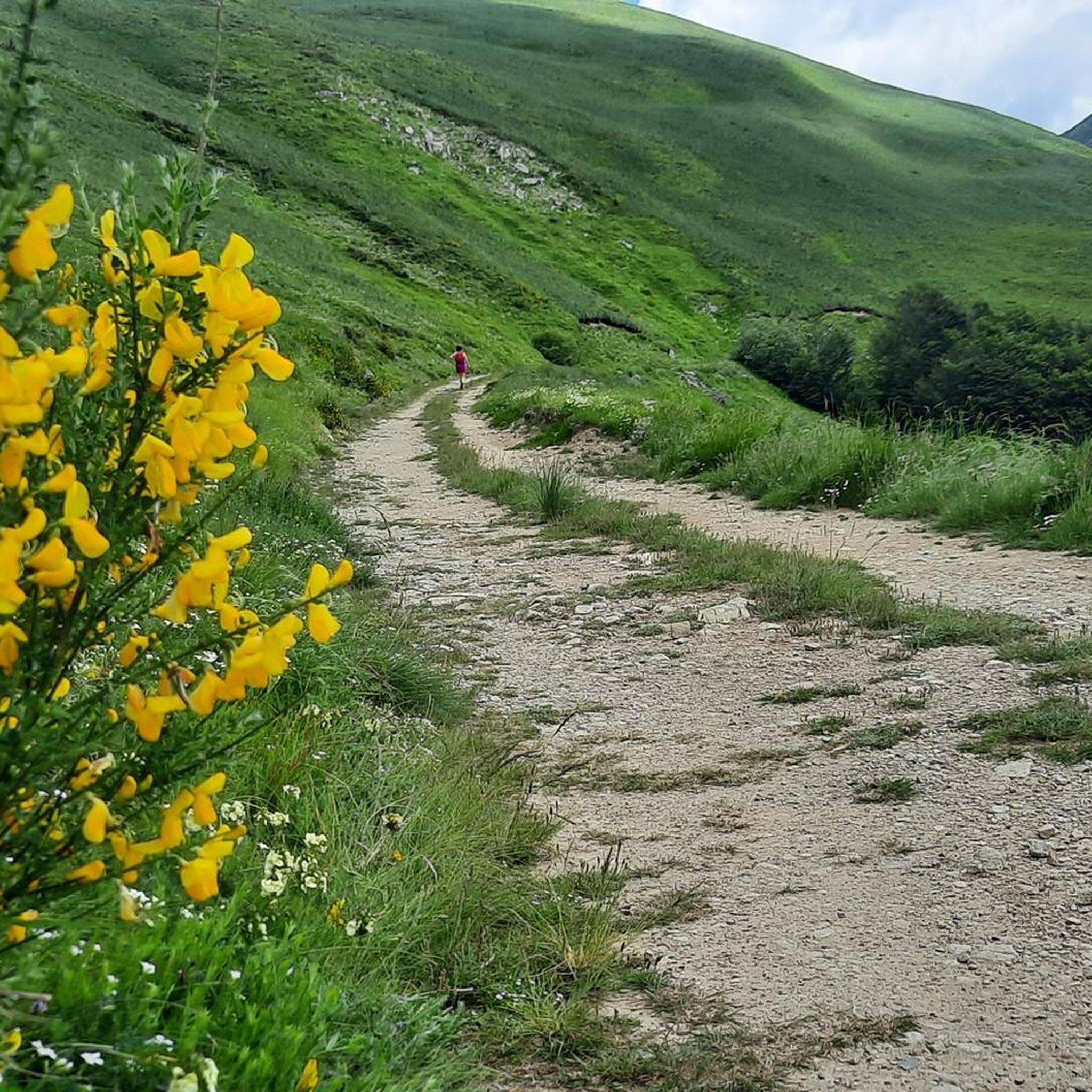
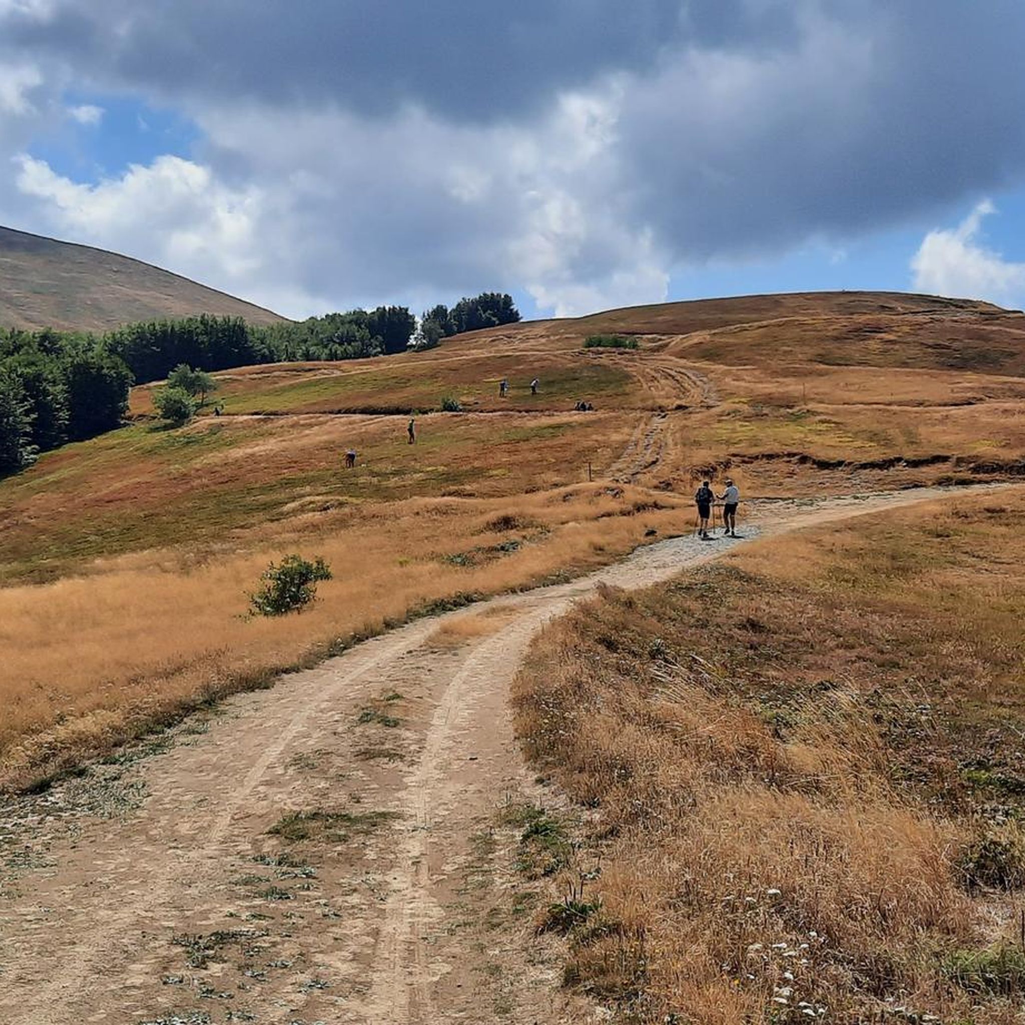
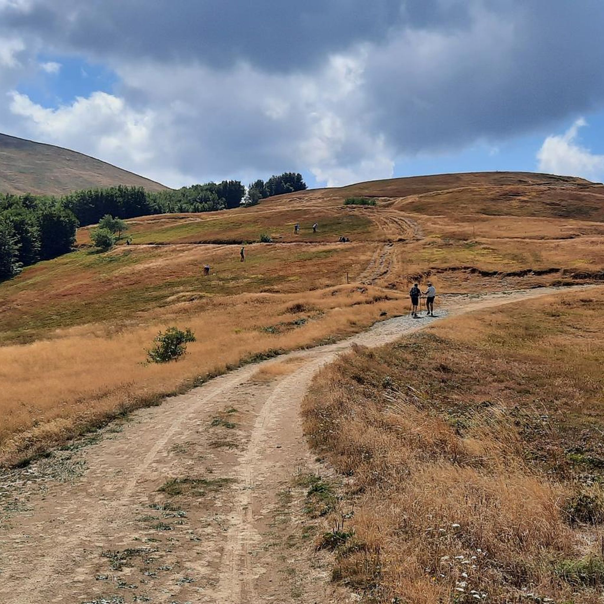
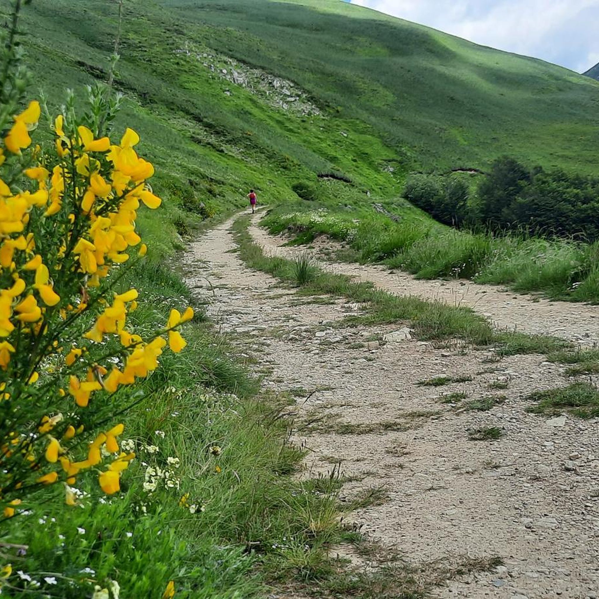
Hiking around Sillano Giuncugnano offers diverse natural landscapes nestled between the Tuscan-Emilian Apennines and the Orecchiella National Park. The region features impressive mountain terrain, dense wooded vegetation, and extensive beech, chestnut, and fir tree forests. Hikers can explore the Argegna Plateau, situated at 1034 meters, which provides expansive meadows and views towards the Sanctuary of the Madonna della Guardia. The area also includes features like the Vicaglia Artificial Lake and the Upper Orzola Valley.
Best hiking trails around Sillano Giuncugnano
- The most popular hiking route is Garfagnana Trekking - Stage 6, a 6.9 miles (11.2 km) trail that takes 3 hours 46 minutes to complete. This route traverses through the Appennino Tosco-Emiliano National Park.
- Another top favourite among local hikers is Airone 3 Trail, a difficult 6.1 miles (9.8 km) path. This trail leads towards Mount Prado and Lago di Bargetana.
- Local hikers also love the Apennine Watershed Trail: Monte Prado to Monte Soraggio, a 7.3 miles (11.7 km) trail leading through mountain landscapes, often completed in about 4 hours 4 minutes.
- Hiking around Sillano Giuncugnano is defined by mountain landscapes, dense wooded vegetation, and extensive forests. The network offers options for different ability levels, from easy walks to more demanding mountain paths.
- The routes in Sillano Giuncugnano are highly rated by the komoot community with an average score of 4.6 stars from over 2200 reviews. More than 10000 hikers have used komoot to explore Sillano Giuncugnano's varied terrain.
Last updated: July 7, 2026
4.4
(7)
39
hikers
11.2km
03:46
320m
320m
Moderate hike. Good fitness required. Mostly accessible paths. Sure-footedness required.
2
hikers
11.7km
04:04
490m
490m
Moderate hike. Good fitness required. Mostly accessible paths. Sure-footedness required.

Sign up for free
9.81km
03:45
440m
440m
Hard hike. Good fitness required. Sure-footedness, sturdy shoes and alpine experience required.
1
hikers
17.7km
05:46
790m
790m
Hard hike. Very good fitness required. Easily-accessible paths. Suitable for all skill levels.
9.72km
03:18
360m
360m
Moderate hike. Good fitness required. Mostly accessible paths. Sure-footedness required.
Get access to more routes and recommendations from other explorers.
Sign up for free
Already have an account?
Our route recommendations are based on thousands of hikes, rides, and runs completed by other people on komoot.
Start today with a free account
Your next adventure awaits.
Login or Signup
Tips from the Community

There isn't much water flowing but it's good and very fresh! Even in August
1
0

a few meters from the summit of Monte Prado spectacular view of Lake Bargetana
0
0
2054 meters of pure beauty from every angle you look
0
0

the closing of the ring has a challenging part, with some slightly dangerous parts and others not marked, at least as far as the route that the navigator makes you do is concerned
0
0

Suggestive and from here several paths start
0
0

In autumn the vaccine is beautiful.
0
0

From Sella delle Porraie (altitude 1,797 metres), on the secondary ridge of Mount Belfiore, you can enjoy a splendid view of the upper Orzola valley and you can even glimpse the red roof of the Battisti refuge.
1
0
A plaque on the path to Presa Alta commemorates the action of the Soviet saboteur team "Blue Dog" led by Captain Ivan
0
0
Frequently Asked Questions
What types of hiking trails can I find in Sillano Giuncugnano?
Sillano Giuncugnano offers a diverse range of hiking experiences, from easy walks through charming villages and chestnut woods to more demanding mountain paths in the Tuscan-Emilian Apennines and Orecchiella National Park. You'll find trails traversing dense forests, expansive meadows, and dramatic mountain landscapes.
Are there easy hiking routes suitable for beginners in Sillano Giuncugnano?
Yes, there are several easy routes available. Out of the 29 trails in the area, 6 are classified as easy, making them suitable for beginners or those looking for a more relaxed walk. These often explore the lower elevations and wooded areas.
What are some notable natural features or landmarks to look out for while hiking?
The region is rich in natural beauty and landmarks. You can explore the Pradarena Pass, the Argegna Plateau with its Sanctuary of the Madonna della Guardia, and the scenic Vicaglia Artificial Lake. The Cesare Battisti Hut also serves as a notable resting point on some routes.
What is the typical duration for hikes in Sillano Giuncugnano?
Hike durations vary significantly depending on the trail's length and difficulty. For example, the moderate Garfagnana Trekking - Stage 6 takes approximately 3 hours 46 minutes, while the more challenging Passo di Pradarena to Presa Alta Ridge Walk can take over 5 hours 45 minutes. There are also shorter, easier options available.
Are there any family-friendly hiking options in the area?
While specific 'family-friendly' designations aren't always explicit, the 6 easy trails in Sillano Giuncugnano are generally suitable for families. These routes often feature well-maintained paths through forests and meadows, providing a pleasant experience for all ages. The Vicaglia Artificial Lake area, surrounded by chestnut woods, could also be a good option for a leisurely family outing.
Can I bring my dog on the hiking trails in Sillano Giuncugnano?
Many trails in the Sillano Giuncugnano area, especially those outside strict nature reserves, are generally dog-friendly. However, it's always recommended to keep your dog on a leash, especially in areas with wildlife or livestock, and to check specific park regulations if entering the Orecchiella National Park or other protected areas.
What do other hikers enjoy most about the trails in Sillano Giuncugnano?
The komoot community highly rates the trails in Sillano Giuncugnano, with an average score of 4.6 stars from over 2200 reviews. Hikers often praise the diverse natural landscapes, from dense forests to mountain views, and the variety of routes catering to different skill levels. The sense of immersion in nature and the well-preserved environment are frequently highlighted.
Are there any circular hiking routes available?
Many of the trails in Sillano Giuncugnano are designed as point-to-point or sections of longer treks, such as the Garfagnana Trekking stages. However, local paths and loops can often be found, especially around villages or specific natural attractions like the Argegna Plateau, offering circular options for a day hike.
What is the best time of year to go hiking in Sillano Giuncugnano?
The best time for hiking in Sillano Giuncugnano is typically from spring to autumn. Spring offers lush greenery and blooming wildflowers, while autumn provides stunning foliage. Summer is also popular, especially in higher elevations where temperatures are cooler. Winter hiking is possible but requires appropriate gear and experience due to snow and colder conditions.
Is public transport available to access the trailheads?
Public transport options in the mountainous region of Sillano Giuncugnano can be limited. While some villages may have bus connections, many trailheads, especially those in more remote areas of the Apennines or Orecchiella National Park, are best accessed by car. It's advisable to check local bus schedules in advance if relying on public transport.
Where can I find parking for hiking trails in Sillano Giuncugnano?
Parking is generally available near major trailheads, villages, and popular attractions like the Argegna Plateau or the Vicaglia Artificial Lake. For routes starting from mountain passes, such as Passo di Pradarena, you will often find designated parking areas. It's recommended to check specific starting points for parking availability.
Are there any challenging hikes for experienced trekkers?
Yes, experienced trekkers will find challenging routes in Sillano Giuncugnano. For instance, the Airone 3 Trail is classified as difficult and leads towards Mount Prado and Lago di Bargetana. The Apennine Watershed Trail: Monte Prado to Monte Soraggio also offers a demanding experience through mountain landscapes.
Most popular routes around Sillano Giuncugnano
Most popular attractions around Sillano Giuncugnano

Get inspired with the komoot mobile app


Explore more
Browse the best Hikes in other regions.
