The best mountain hikes around Eppan An Der Weinstraße - Appiano Sulla Strada Del Vino
4.7
(76)
731
hikers
43
hikes
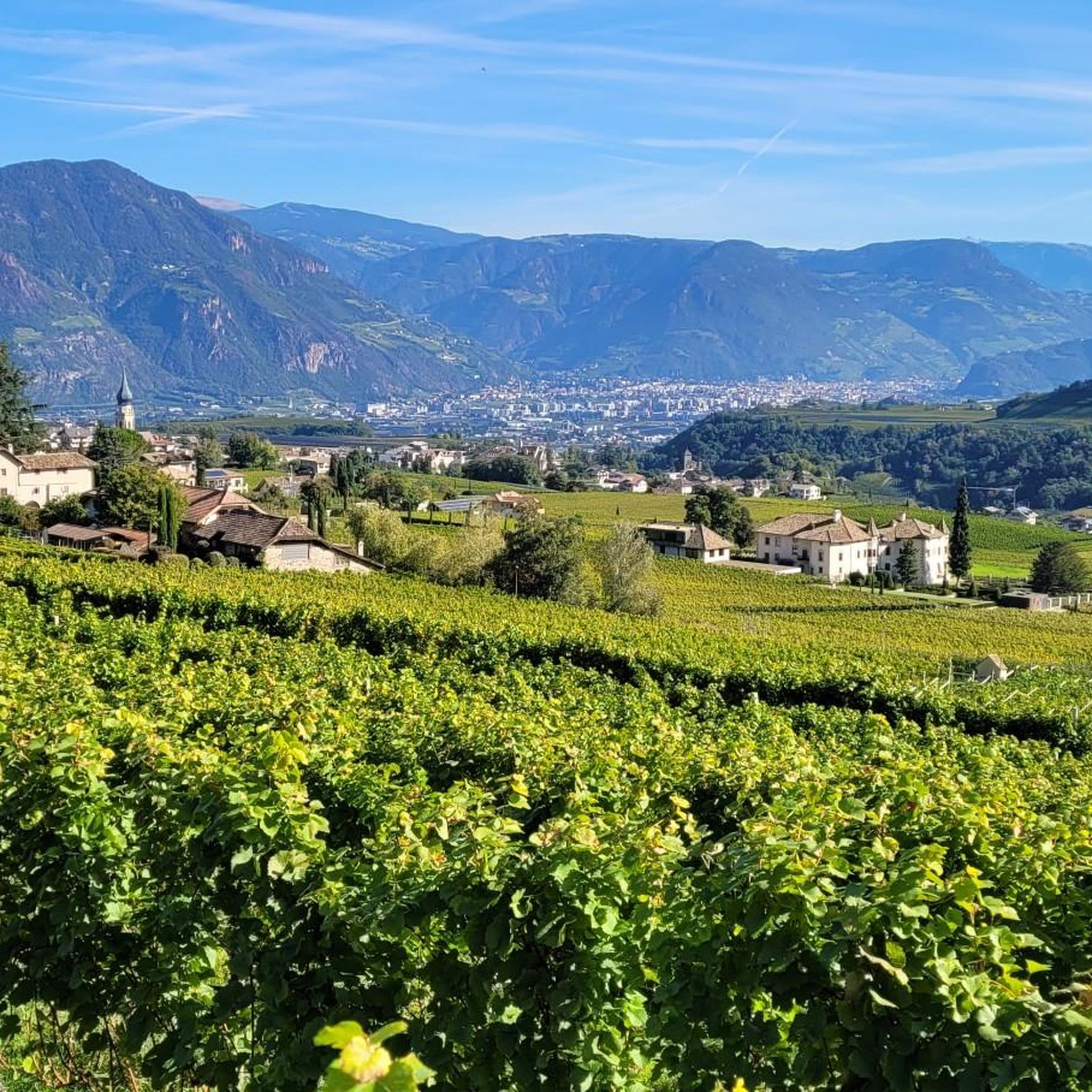
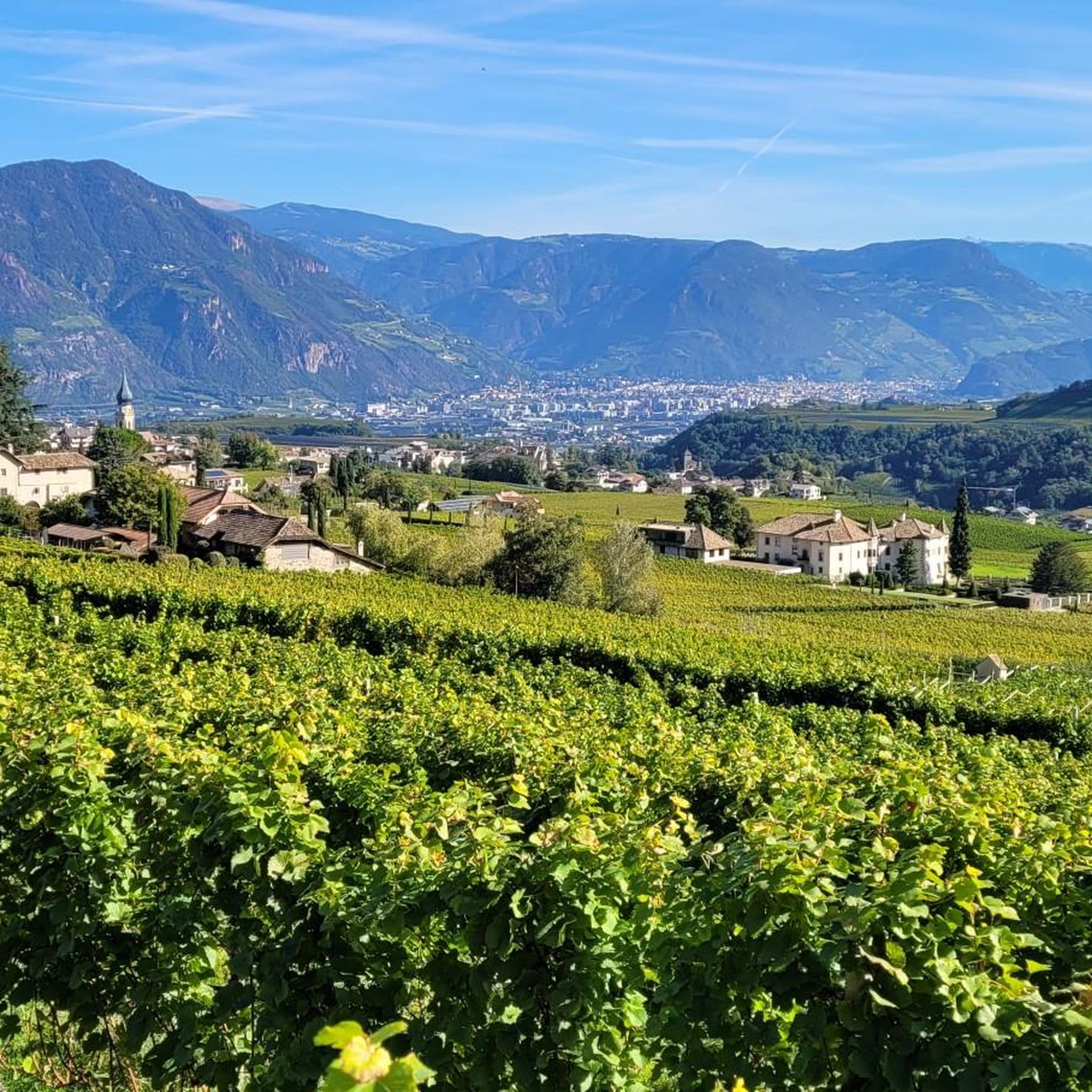
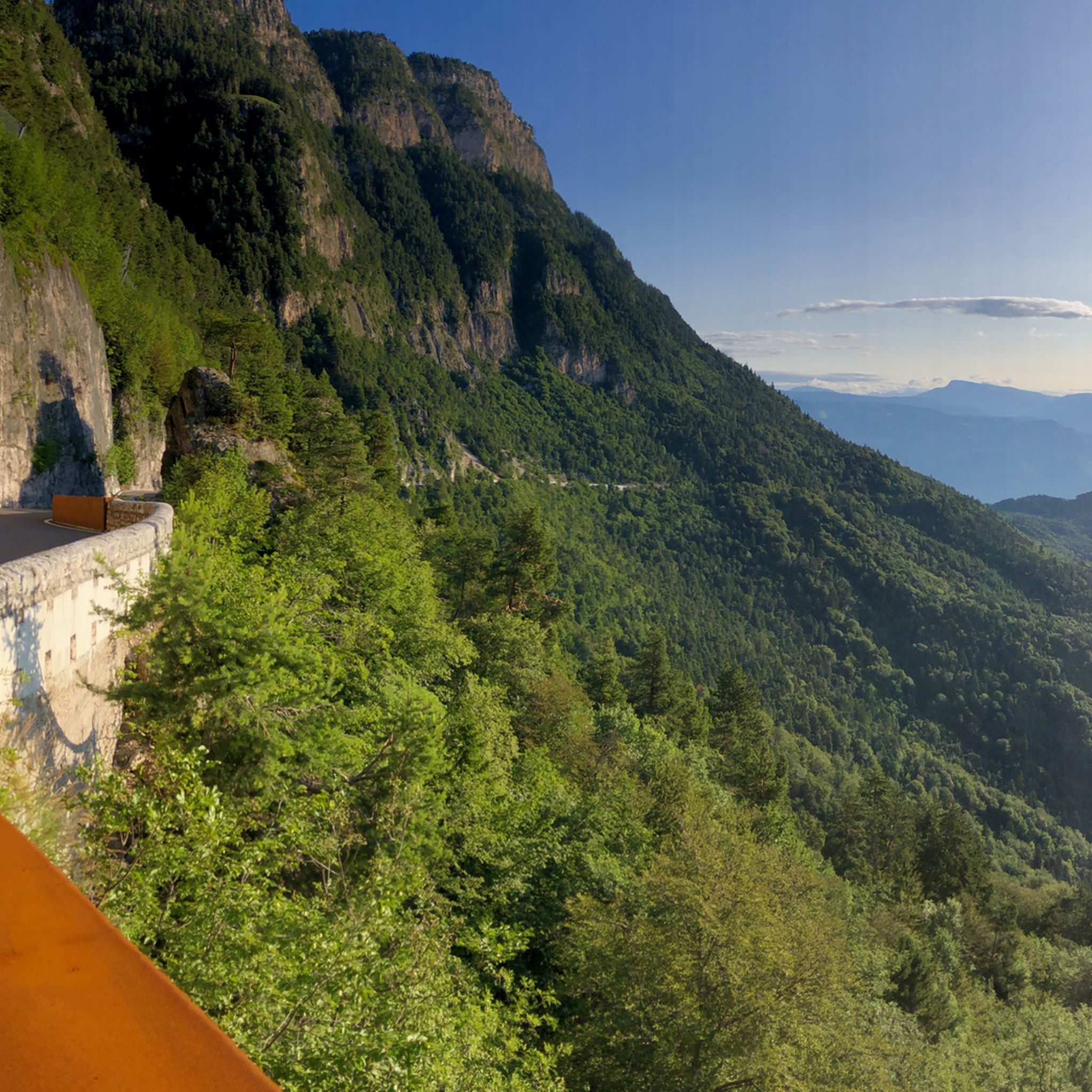
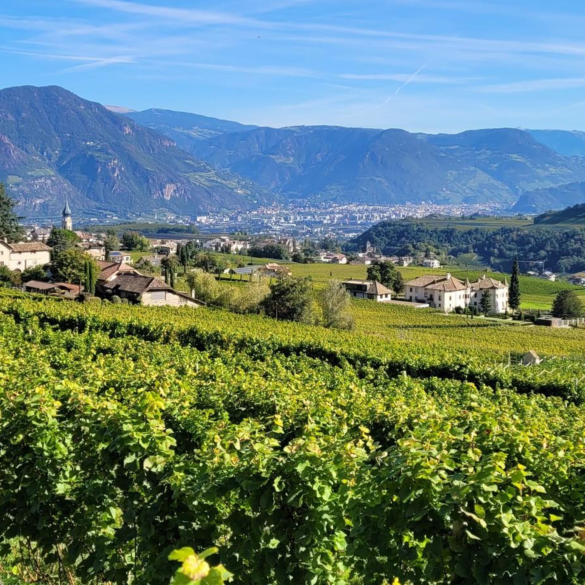
Mountaineering around Eppan An Der Weinstraße - Appiano Sulla Strada Del Vino is characterized by its diverse terrain, ranging from extensive vineyards and orchards to the prominent peaks of the Mendel Range. The region offers routes with panoramic views of the Dolomites and the Ortler Alps from higher elevations like Penegal and Monte Roen. Dense forests and natural features such as the Montiggler Lakes and unique Ice Holes also define the landscape, providing varied challenges and scenic backdrops for mountaineering.
Best mountaineering routes around Eppan An Der Weinstraße - Appiano Sulla Strada Del Vino
- The most popular mountaineering route is Lavinaspitze Above Caldaro – Via Ferrata Monte Roen loop from St.Anton - Sant'Antonio frazione di Caldaro, a 17.2 miles (27.6 km) trail that takes 11 hours 32 minutes to complete. This difficult route offers a challenging ascent with significant elevation gain.
- Another top favourite among local mountaineers is Mendel Pass – Mendel Pass loop from Mendelpass - Passo della Mendola, a moderate 4.7 miles (7.6 km) path. This route explores the area around the historic Mendel Pass, providing accessible mountain scenery.
- Local mountaineers also love the Leiferer Höhenweg loop from Laives - Leifers, a 7.4 miles (11.9 km) trail leading through varied terrain, often completed in about 4 hours 16 minutes.
- Mountaineering around Eppan An Der Weinstraße - Appiano Sulla Strada Del Vino is defined by the peaks of the Mendel Range, scenic vineyards, and protected forest areas. The network offers options for both moderate and difficult ability levels.
- The routes in Eppan An Der Weinstraße - Appiano Sulla Strada Del Vino are highly rated by the komoot community with an average score of 4.7 stars from over 100 reviews. More than 900 mountaineers have used komoot to explore Eppan An Der Weinstraße - Appiano Sulla Strada Del Vino's varied terrain.
Last updated: August 28, 2026
4.3
(3)
40
hikers
Moderate mountaineering route. Good fitness required. Mostly accessible paths. Sure-footedness required.
5.0
(3)
19
hikers
15.9km
07:14
1,150m
1,150m
Hard mountaineering route. Very good fitness required. Sure-footedness, sturdy shoes and alpine experience required.

Sign up for free
5.0
(2)
11
hikers
5.91km
01:49
200m
200m
Moderate mountaineering route. Great for any fitness level. Mostly accessible paths. Sure-footedness required.
3.0
(1)
11
hikers
Moderate mountaineering route. Good fitness required. Mostly accessible paths. Sure-footedness required.
4.0
(1)
7
hikers
12.0km
06:35
1,100m
1,090m
Hard mountaineering route. Very good fitness required. Sure-footedness, sturdy shoes and alpine experience required.
Get access to more routes and recommendations from other explorers.
Sign up for free
Already have an account?
Our route recommendations are based on thousands of hikes, rides, and runs completed by other people on komoot.
Start today with a free account
Your next adventure awaits.
Login or Signup
Popular around Eppan An Der Weinstraße - Appiano Sulla Strada Del Vino
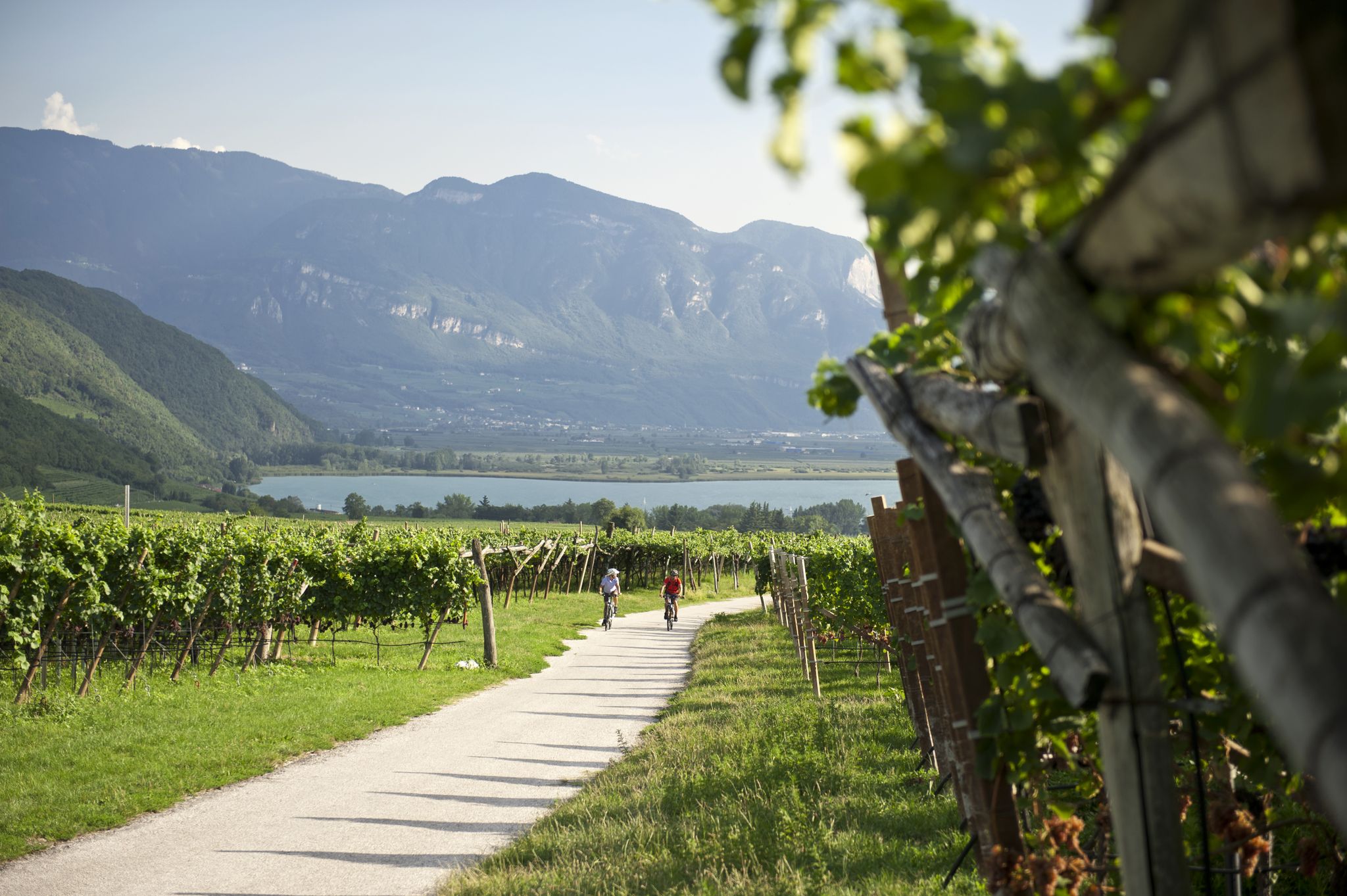
Road cycling through the vineyards of Alto Adige
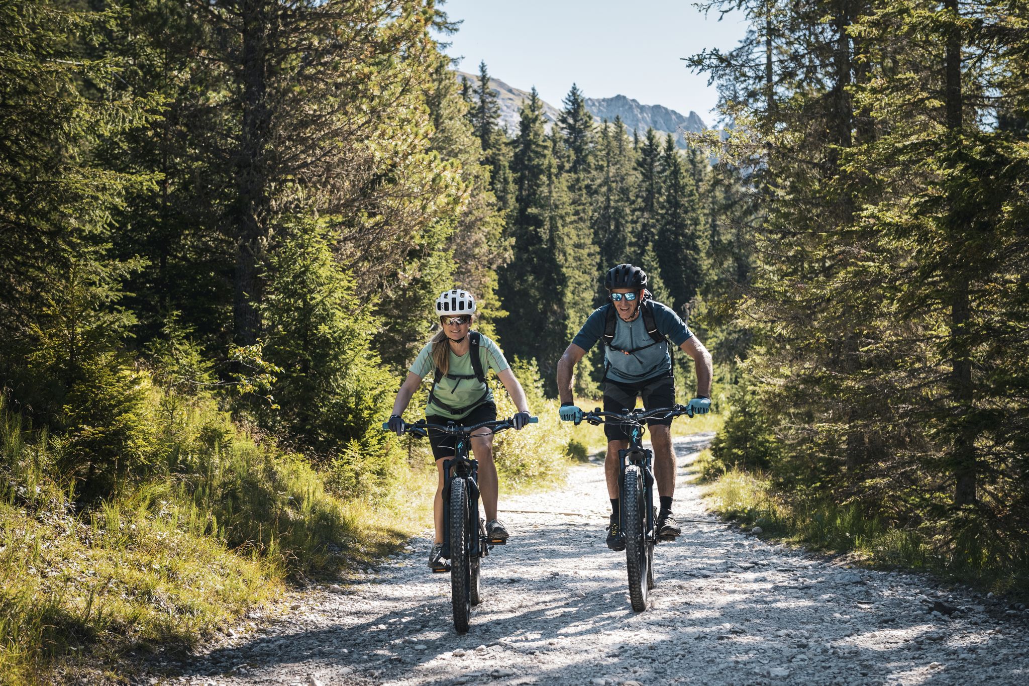
As yet undiscovered South Tyrol – secret MTB adventures
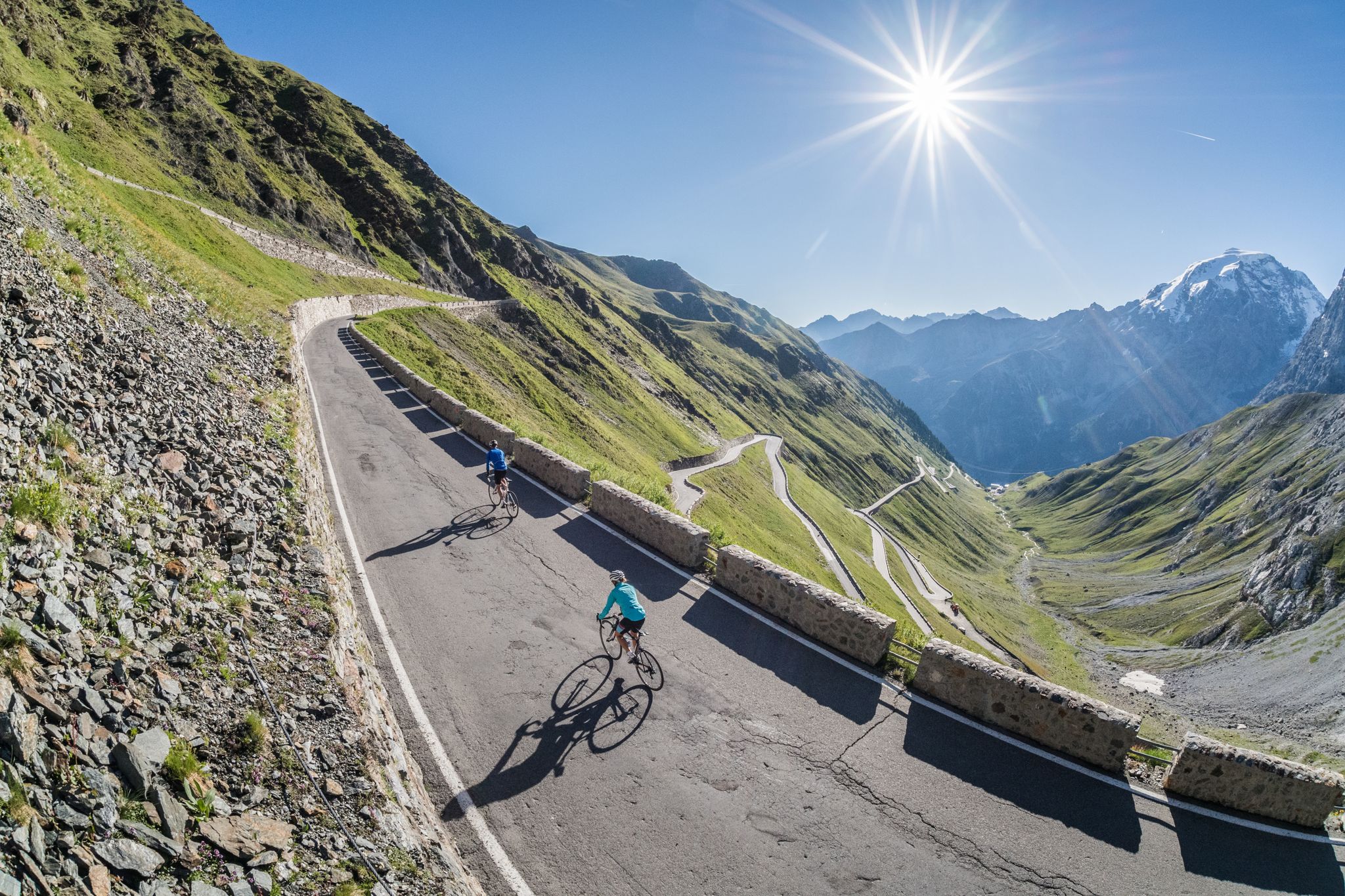
Road biking in South Tyrol
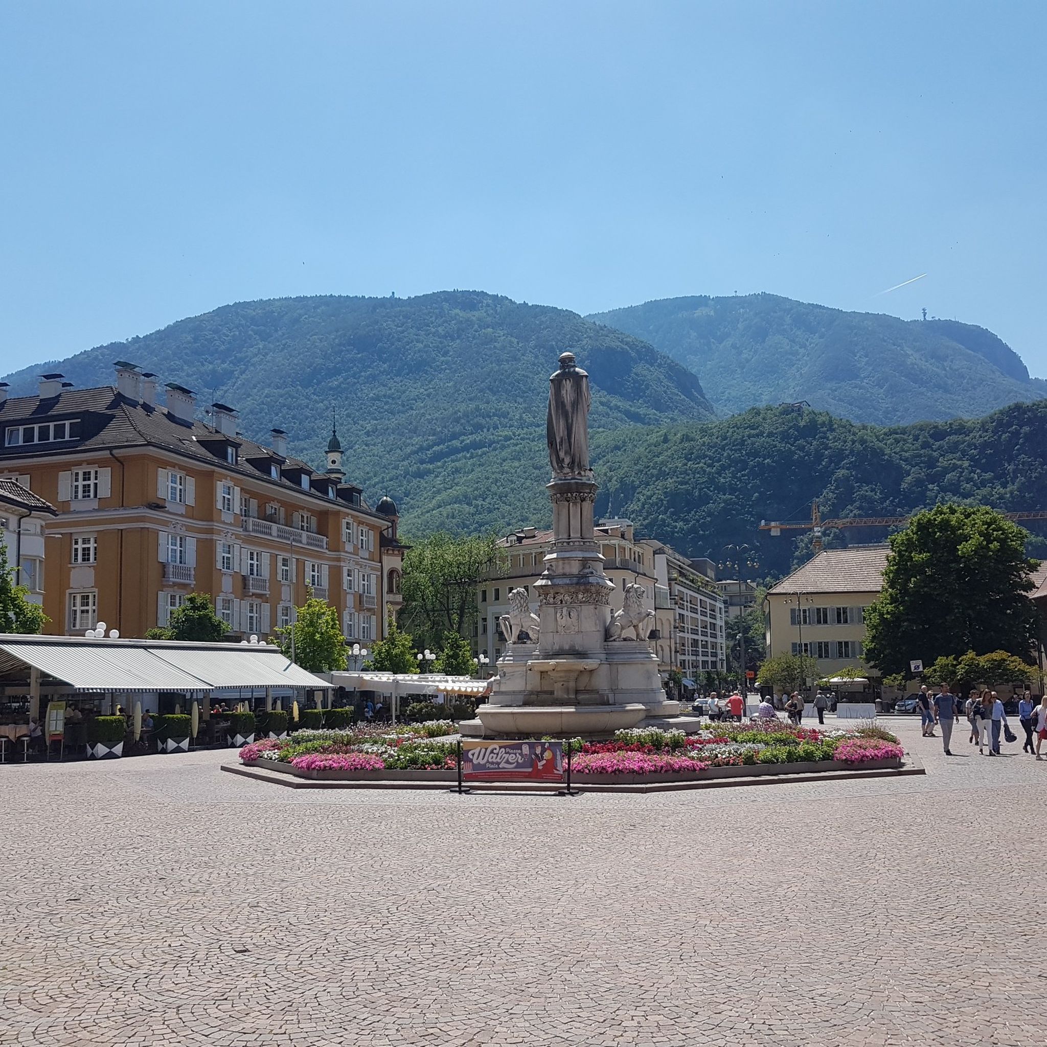
Hiking around Eppan An Der Weinstraße - Appiano Sulla Strada Del Vino
MTB Trails around Eppan An Der Weinstraße - Appiano Sulla Strada Del Vino
Cycling around Eppan An Der Weinstraße - Appiano Sulla Strada Del Vino
Road Cycling Routes around Eppan An Der Weinstraße - Appiano Sulla Strada Del Vino
Running Trails around Eppan An Der Weinstraße - Appiano Sulla Strada Del Vino

Gravel biking around Eppan An Der Weinstraße - Appiano Sulla Strada Del Vino
Other adventures around Eppan An Der Weinstraße - Appiano Sulla Strada Del Vino

Tips from the Community

A beautiful viewpoint with a great view that invites you to linger.
1
0
Here you'll find the best Marillenknödel (apricot dumplings) far and wide, and it's not just the locals who say so. Highly recommended!
0
0

Te Guy u y tv uur y u ug uur
0
0

Panorama Hotel Penegal mega panorama from the terrace delicious food and E - Bike friendly with charging option
0
0

The Mendelbahn also transports bicycles
2
0
Good starting point for numerous hikes and mountain bike tours
2
0

Beautiful old hut right after the Mendel Pass (approx. 20 min)... So it's more of a stop on the way back from Monte Roen.
5
0
The small houses (sleeping 1-8 people) are available for rent. This provides an uninterrupted view of the Rosengarten, Peitlerkofel, and other peaks. Anyone with the necessary cash can spend a wonderful time here.
5
0
Frequently Asked Questions
What types of terrain can I expect on mountaineering routes in Eppan An Der Weinstraße?
Mountaineering routes in Eppan An Der Weinstraße offer a diverse range of terrain. You'll find paths winding through extensive vineyards and fruit orchards at lower elevations, dense forests, and more rugged trails leading to the prominent peaks of the Mendel Range. Many routes provide panoramic views over the Etsch Valley and towards the majestic Dolomites.
Are there any easier mountaineering routes suitable for beginners in the region?
Yes, while many routes are challenging, there are moderate options available. For instance, the Mendel Pass – Mendel Pass loop from Mendelpass - Passo della Mendola is a moderate 4.7-mile path that explores the historic Mendel Pass area, offering accessible mountain scenery without extreme difficulty.
What are some challenging mountaineering routes for experienced climbers?
For experienced mountaineers seeking a challenge, the region offers several difficult routes. The Lavinaspitze Above Caldaro – Via Ferrata Monte Roen loop from St.Anton - Sant'Antonio frazione di Caldaro is a demanding 17.2-mile trail with significant elevation gain, typically taking over 11 hours to complete. Another difficult option is the Lavinaspitze Above Caldaro loop from St.Anton - Sant'Antonio frazione di Caldaro.
What natural features or landmarks can I see along the mountaineering routes?
The region is rich in natural beauty and historical landmarks. You might encounter unique natural phenomena like the 'Ice Holes' with their cool microclimate, or explore the protected Montiggl forest, home to the Great and Small Montiggl Lakes. Some routes also pass by historical sites such as Hocheppan Castle. You can also visit the Rastenbach Gorge Waterfall or the Montiggler Lakes.
Are there any circular mountaineering routes available?
Yes, many routes are designed as loops. For example, the Mendel Pass – Mendel Pass loop from Mendelpass - Passo della Mendola and the Leiferer Höhenweg loop from Laives - Leifers are popular circular options, allowing you to start and end at the same point.
What is the best time of year for mountaineering in Eppan An Der Weinstraße?
The region benefits from a pleasant climate and numerous hours of sunshine, making it ideal for outdoor activities. While specific mountaineering seasons can vary with altitude, generally spring through autumn offers the most favorable conditions. Always check local weather forecasts and trail conditions before heading out, especially for higher elevation routes.
What do other mountaineers say about the routes in Eppan An Der Weinstraße?
The mountaineering routes in Eppan An Der Weinstraße are highly rated by the komoot community, with an average score of 4.7 stars from over 100 reviews. Mountaineers often praise the varied terrain, the stunning panoramic views of the Dolomites and Ortler Alps, and the well-maintained trails that cater to different skill levels.
Are there options for family-friendly mountaineering or easier walks?
While this guide focuses on mountaineering, the broader region offers an extensive network of trails, including easier walks suitable for families. The Montiggl forest, with its lakes, provides tranquil paths. For specific family-friendly options, look for routes described as 'easy' or 'walking trails' in the general hiking guides for the area.
How many mountaineering routes are available in Eppan An Der Weinstraße?
There are approximately 47 mountaineering routes documented in Eppan An Der Weinstraße, with 18 rated as moderate and 29 as difficult. This provides a wide selection for various skill levels and preferences.
Is public transport available to reach the starting points of mountaineering routes?
Eppan An Der Weinstraße is well-connected within South Tyrol. While specific public transport links to every trailhead may vary, the region generally offers good bus services that can take you to towns and villages near many starting points. It's advisable to check local bus schedules for the specific trailhead you plan to visit.
Are there any routes that offer views of the Dolomites?
Yes, many higher elevation routes in Eppan An Der Weinstraße provide spectacular panoramic views. From peaks like Penegal and Monte Roen, you can often see the majestic Dolomites in the distance, a UNESCO World Heritage site known for its dramatic peaks.
Most popular routes around Eppan An Der Weinstraße - Appiano Sulla Strada Del Vino
Most popular attractions around Eppan An Der Weinstraße - Appiano Sulla Strada Del Vino

Get inspired with the komoot mobile app


Explore more
Browse the best Mountain Hikes & Routes in other regions.
