The best road cycling routes in the Uinta Mountains
5.0
(1)
289
riders
19
rides
Road cycling routes in the Uinta Mountains traverse a unique east-west oriented range, characterized by significant elevation changes and diverse ecosystems. The terrain includes dense coniferous forests, open meadows, and glacially carved valleys, leading to high mountain ridges. Routes often feature substantial climbs, such as the ascent to Bald Mountain Pass, Utah's highest paved road at 10,715 feet. The region offers a mix of well-paved surfaces and challenging gradients, providing varied experiences for road cyclists.
Best road cycling routes in the Uinta Mountains
- The most popular road cycling route is Deer Creek Overlook – Draper Utah Temple loop from Heber Valley Railroad Depot, an 85.3 miles (137.3 km) trail that takes 8 hours 10 minutes to complete. This difficult route features over 10,500 feet of elevation gain.
- Another top favourite among local road cyclists is Kamas – Bald Mountain Pass Climb West loop from Kamas, a difficult 59.9 miles (96.6 km) path. This route includes a significant climb towards Bald Mountain Pass, offering high-elevation cycling.
- Local road cyclists also love the Kamas loop from Kamas, a 21.1 miles (34.0 km) trail leading through lower elevation areas, often completed in about 1 hour 26 minutes.
- Road cycling in the Uinta Mountains is defined by alpine lakes, dense forests, and high mountain ridges. The network offers options for different ability levels, from easy loops to difficult, high-elevation climbs.
- The routes in Uinta Mountains are highly rated by the komoot community with an average score of 5.0 stars from over 2 reviews. More than 300 road cyclists have used komoot to explore Uinta Mountains's varied terrain.
Last updated: June 28, 2026
40
riders
136km
08:02
3,240m
3,240m
Hard road ride. Very good fitness required. Mostly well-paved surfaces and easy to ride.
27
riders
33.7km
01:28
260m
260m
Easy road ride. Great for any fitness level. Mostly well-paved surfaces and easy to ride.

Sign up for free
24
riders
Moderate road ride. Good fitness required. Mostly well-paved surfaces and easy to ride.
21
riders
96.7km
04:41
1,410m
1,410m
Hard road ride. Very good fitness required. Mostly well-paved surfaces and easy to ride.
9
riders
33.2km
01:31
200m
200m
Easy road ride. Great for any fitness level. Mostly well-paved surfaces and easy to ride.
12
riders
50.9km
02:09
410m
410m
Moderate road ride. Good fitness required. Mostly well-paved surfaces and easy to ride.
8
riders
29.4km
01:25
190m
190m
Easy road ride. Great for any fitness level. Mostly well-paved surfaces and easy to ride.
19
riders
49.3km
03:06
1,350m
1,350m
Hard road ride. Very good fitness required. Mostly well-paved surfaces and easy to ride.
11
riders
88.3km
04:05
920m
920m
Hard road ride. Very good fitness required. Mostly well-paved surfaces and easy to ride.
5.0
(1)
9
riders
55.1km
02:42
430m
430m
Moderate road ride. Good fitness required. Mostly well-paved surfaces and easy to ride.
Get access to more routes and recommendations from other explorers.
Sign up for free
Already have an account?
Our route recommendations are based on thousands of hikes, rides, and runs completed by other people on komoot.
Start today with a free account
Your next adventure awaits.
Login or Signup
Popular around Uinta Mountains
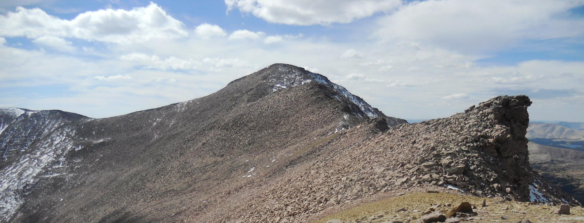
The Uinta Highline Trail — An epic journey through the wild heart of Northern Utah
On the trail of the giants in the USA – Dinosaur National Monument
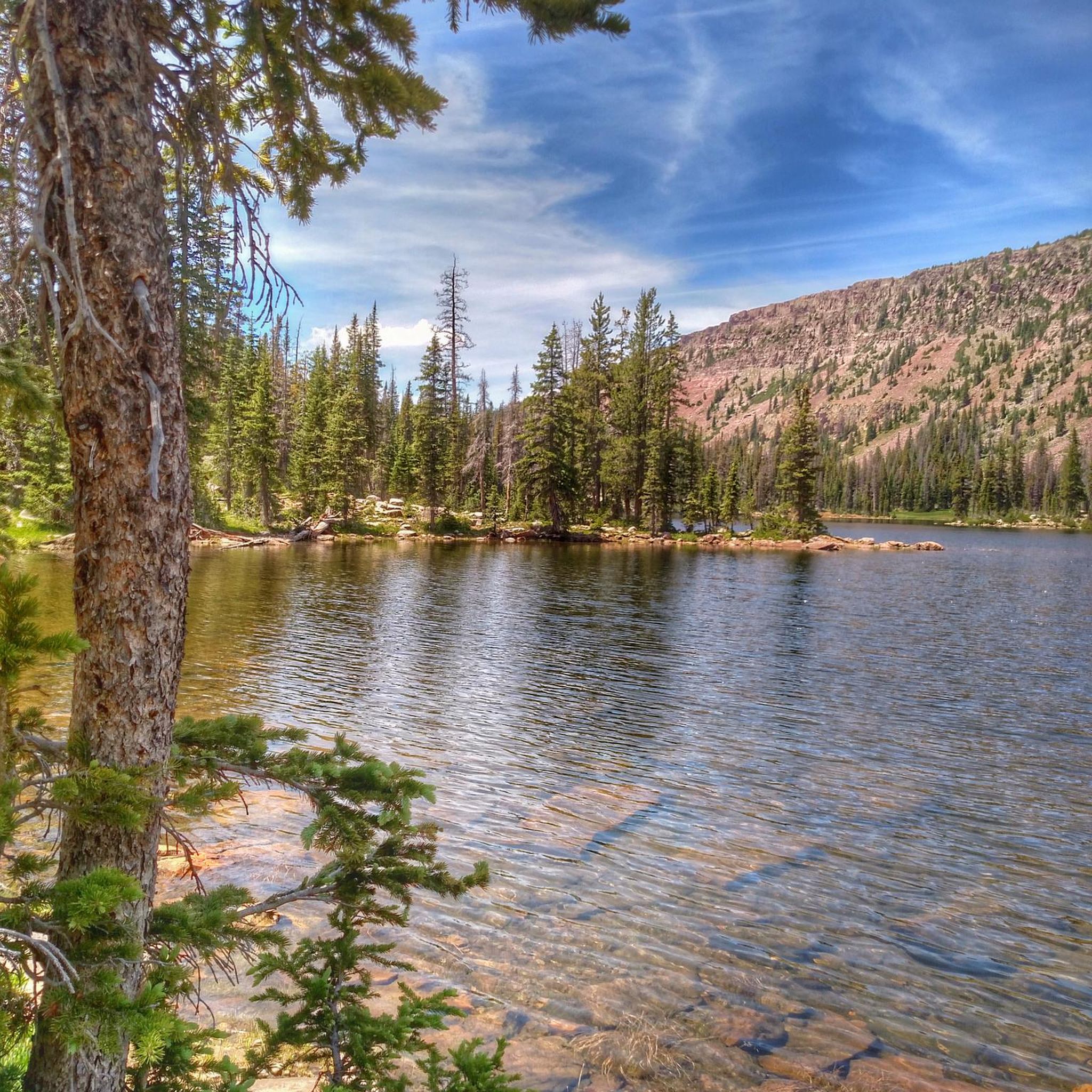
Hiking in the Uinta Mountains
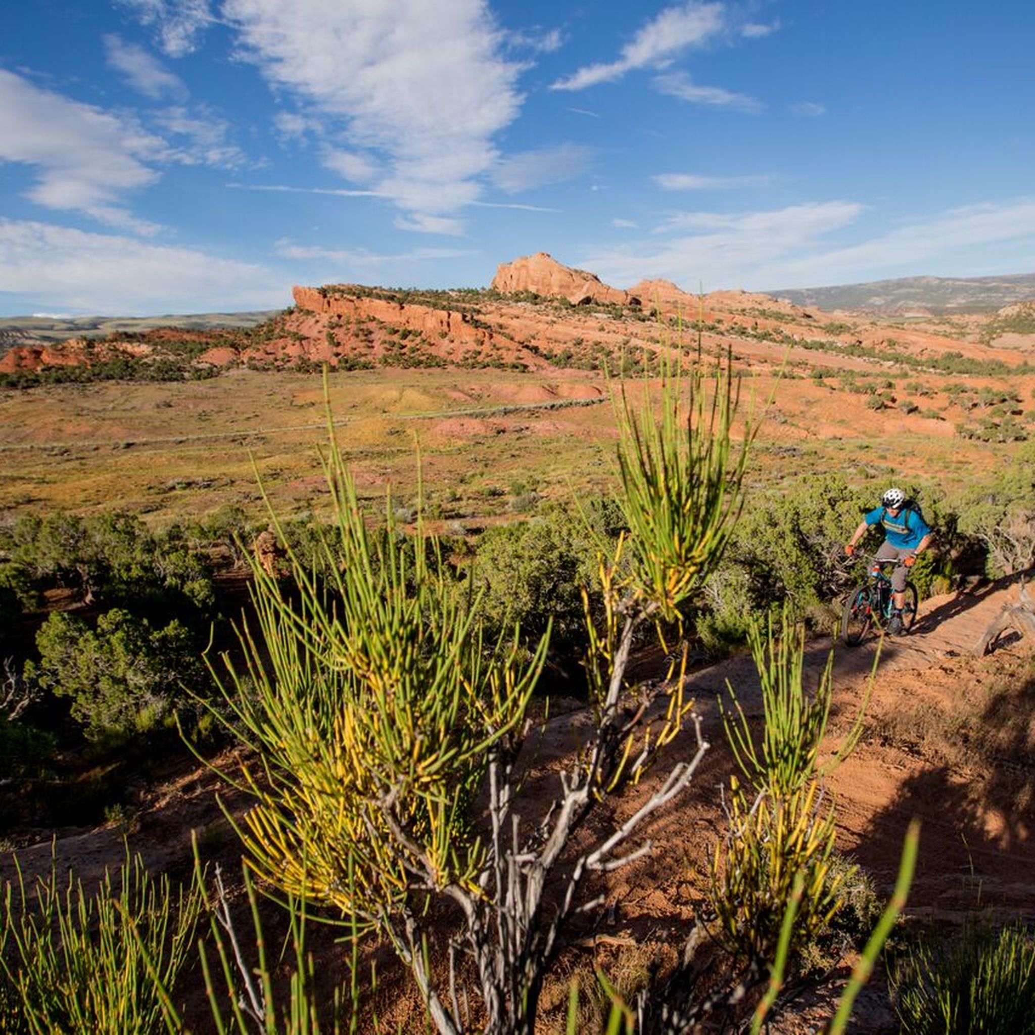
MTB Trails in the Uinta Mountains
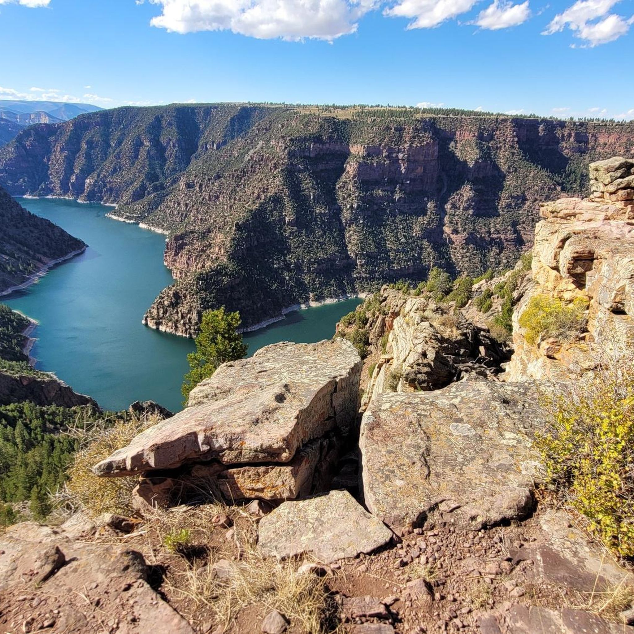
Cycling in the Uinta Mountains
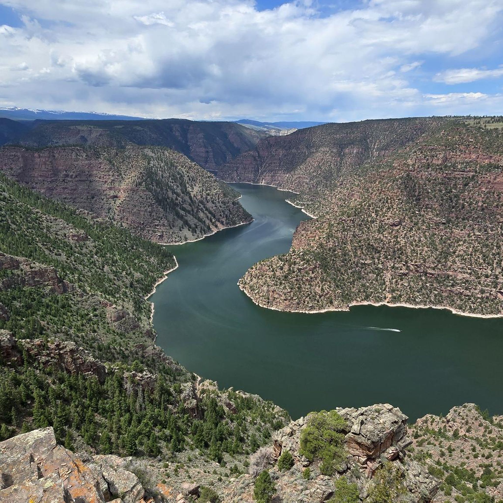
Running Trails in the Uinta Mountains

Gravel biking in the Uinta Mountains


Tips from the Community

This is the highest point of the Alpine Scenic Highway—meaning if you’ve made it here, it’s time to enjoy the downhill ahead. Nearby, you’ll find access to several trails, including Willow Hollow Trail, Horse Flat Trail, Ridge Trail, and Lame Hollow Trail.
0
0
An impressive temple surrounded by beautifully maintained gardens, with Redbud trees that make it especially stunning when in bloom. Take a moment to pause and enjoy the peaceful atmosphere of this sacred place.
0
0
Guardsman Pass is a tough but unforgettable climb—steep grades, tight switchbacks, and big elevation gain. The views from the top, at nearly 9,700 feet, are worth every pedal stroke. Expect light traffic on weekdays and smooth pavement for a fast, fun descent.
0
0

Builders broke ground on the creation of this temple in 2006, then finished it in 2009. It's the 129th temple of the Mormon Church.
0
0

The Kamas area was first inhabited by Native Americans, including the Ute, Shoshone, and Snake tribes. In 1857, it was settled by Mormon pioneers, including Thomas Rhodes. Now, it is a great stop on the way to adventures in the Uinta Mountains. There are shops and restaurants to grab any supplies you need for your ride.
0
0

The Bald Mountain Pass climb from Kamas offers you a long and incredibly scenic road biking ascent on State Route 150, the stunning Mirror Lake Highway, taking you high into the Uinta Mountains to the highest paved pass in Utah. Starting around 6,480 feet in Kamas, you'll climb approximately 24 miles, gaining over 4,200 feet to reach the 10,715-foot summit, with a moderate average gradient around 3.3-3.4% that becomes more sustained in the upper sections. As you follow the Provo River initially and ascend through forests, the scenery is breathtaking, passing numerous alpine lakes and offering spectacular views of the Uinta peaks and the high alpine environment from the pass.
0
0

This challenging 8.8-mile climb begins with a moderate ascent and gradually steepens as you approach the summit, surrounded by dense forests of aspen trees. The route winds through lush, green terrain, offering glimpses of rugged mountain slopes and rocky outcrops as you gain elevation. As you near the top, the trees part to reveal stunning panoramic views of the high-altitude mountains, with the summit at Guardsman Pass offering a breathtaking perspective of the surrounding landscape.
0
0
Heber City is the gateway to several parks, national forests and nature areas in Utah, so it is a great place to start a ride. The city was first settled in 1859, and it still has several historic buildings that you can visit.
1
0
Frequently Asked Questions
How many road cycling routes are available in the Uinta Mountains?
The Uinta Mountains offer a wide selection of road cycling routes. You can find over 20 routes, catering to various skill levels from easy to difficult.
What kind of terrain and elevation can I expect when road cycling in the Uinta Mountains?
Road cycling in the Uinta Mountains features diverse terrain, from dense coniferous forests to open meadows and high mountain ridges. The region is known for significant elevation changes, including ascents to Bald Mountain Pass, Utah's highest paved road at 10,715 feet. You'll encounter consistent climbs with gradients averaging 2-3% on routes like the Mirror Lake Highway, providing a rewarding challenge.
Are there road cycling routes suitable for beginners or families in the Uinta Mountains?
Yes, the Uinta Mountains offer several easier road cycling options. For instance, the Kamas loop from Kamas is an easy 21.1-mile (34.0 km) trail that can be completed in about 1 hour 26 minutes, leading through lower elevation areas. There are 5 easy routes available, providing gentler rides for those seeking a less strenuous experience.
Where can I find challenging road cycling routes with significant climbs in the Uinta Mountains?
For advanced cyclists seeking significant climbs, the Uinta Mountains deliver. The Kamas – Bald Mountain Pass Climb West loop from Kamas is a difficult 59.9-mile (96.6 km) route that includes a substantial ascent towards Bald Mountain Pass. Another demanding option is the Deer Creek Overlook – Draper Utah Temple loop from Heber Valley Railroad Depot, an 85.3-mile (137.3 km) trail with over 10,500 feet of elevation gain. Overall, there are 10 difficult routes available for experienced riders.
What do other cyclists enjoy most about road cycling in the Uinta Mountains?
The Uinta Mountains are highly rated by the komoot community, with an average score of 5.0 stars from over 2 reviews. Cyclists often praise the continuous breathtaking vistas of alpine lakes, dense forests, and majestic peaks, especially along the Mirror Lake Highway. The combination of physically demanding climbs and well-maintained roads also contributes to a highly satisfying experience.
What natural features and landmarks can I see along the road cycling routes?
Road cycling routes in the Uinta Mountains offer stunning natural features. You'll encounter over 1,000 glacier-formed lakes, including the picturesque Mirror Lake. The routes provide panoramic views of towering peaks like Hayden Peak, Kletting Peak, and Holiday Park Peak. Don't miss the cascading Provo River Falls, a popular stop along the Mirror Lake Scenic Byway. You might also spot wildlife such as deer and elk.
Are there any loop road cycling trails in the Uinta Mountains?
Yes, many road cycling routes in the Uinta Mountains are designed as loops, offering varied scenery without retracing your path. Examples include the Kamas loop from Kamas, the Deer Creek Overlook loop from Heber Valley Railroad Depot, and the challenging Kamas – Bald Mountain Pass Climb West loop from Kamas.
What is the best time of year for road cycling in the Uinta Mountains?
The best time for road cycling in the Uinta Mountains is typically from late spring through early autumn. The Mirror Lake Highway, a key cycling route, is usually open from late May or early June until mid-October, depending on snow conditions. These months offer the most favorable weather, with vibrant meadows and accessible high-elevation roads.
Are there any specific viewpoints or scenic overlooks along the road cycling routes?
Absolutely. The Uinta Mountains are rich with scenic viewpoints. Cycling along the Mirror Lake Highway provides continuous panoramic views, especially as you ascend to Bald Mountain Pass, which offers incredible vistas of the surrounding peaks and valleys. The Empire Pass Climb from Midway – Empire Pass Viewpoint loop also features a notable viewpoint.
Are there any moderate road cycling routes in the Uinta Mountains?
Yes, the Uinta Mountains offer 5 moderate road cycling routes, providing a good balance of challenge and accessibility. An example is the Deer Creek Overlook loop from Heber Valley Railroad Depot, a 28.5-mile (45.9 km) route with over 800 meters of elevation gain, typically completed in about 2 hours 25 minutes. Another option is the Kamas loop from Yellow Pine Trailhead, a 31.6-mile (50.9 km) route.
What are the road surfaces like for cycling in the Uinta Mountains?
Many road cycling routes in the Uinta Mountains, particularly the popular Mirror Lake Highway, offer mostly well-paved surfaces suitable for road bikes. However, some longer or more remote rides might include unpaved segments, which could require good fitness or even necessitate pushing your bike. It's always advisable to check route details for specific surface conditions.
Most popular routes in the Uinta Mountains
Most popular attractions in the Uinta Mountains

Get inspired with the komoot mobile app


Explore more
Browse the best Road cycling routes in other regions.
