The best gravel rides in the Uinta Mountains
3.3
(3)
108
riders
7
rides
Gravel biking in the Uinta Mountains offers diverse terrain across the only major east-west oriented mountain range in the contiguous United States. The region features a network of well-graded dirt roads and 4x4 tracks, providing access to extensive wilderness areas. Riders encounter a mix of smoother gravel, dirt roads, and some more rugged sections, with elevations ranging from 8,000 feet to over 13,000 feet. The landscape is characterized by thousands of lakes, streams, and thick evergreen woodlands, shaped by glaciation.
…Last updated: June 28, 2026
2.0
(1)
21
riders
76.2km
05:52
1,780m
1,780m
Hard gravel ride. Very good fitness required. Mostly paved surfaces. Suitable for all skill levels.
4.0
(1)
6
riders
43.5km
03:38
1,010m
1,010m
Hard gravel ride. Very good fitness required. Mostly paved surfaces. Suitable for all skill levels.

Sign up for free
8
riders
Moderate gravel ride. Good fitness required. Mostly paved surfaces. Suitable for all skill levels.
4.0
(1)
4
riders
30.4km
02:38
820m
820m
Hard gravel ride. Very good fitness required. Mostly paved surfaces. Suitable for all skill levels.
2
riders
46.0km
04:11
1,080m
1,080m
Hard gravel ride. Very good fitness required. Mostly paved surfaces. Suitable for all skill levels.
2
riders
16.8km
01:48
260m
260m
Moderate gravel ride. Good fitness required. Mostly paved surfaces. Suitable for all skill levels.
3
riders
46.4km
03:25
1,200m
1,200m
Hard gravel ride. Very good fitness required. Mostly paved surfaces. Suitable for all skill levels.
Our route recommendations are based on thousands of hikes, rides, and runs completed by other people on komoot.
Start today with a free account
Your next adventure awaits.
Login or Signup
Popular around Uinta Mountains
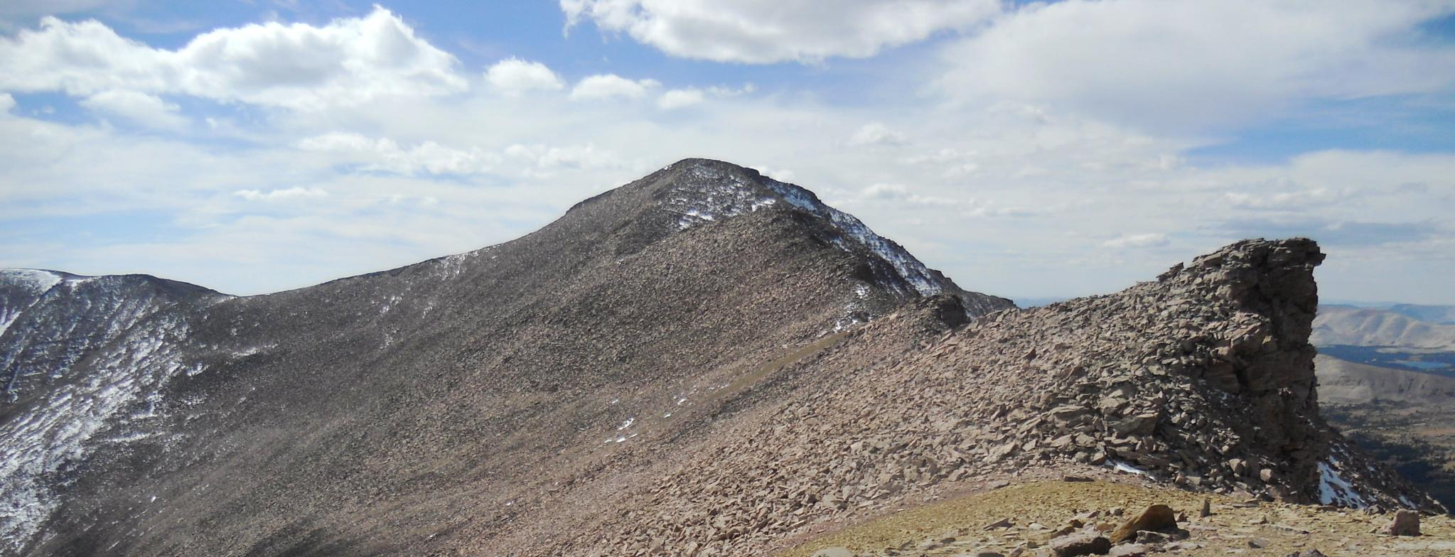
The Uinta Highline Trail — An epic journey through the wild heart of Northern Utah
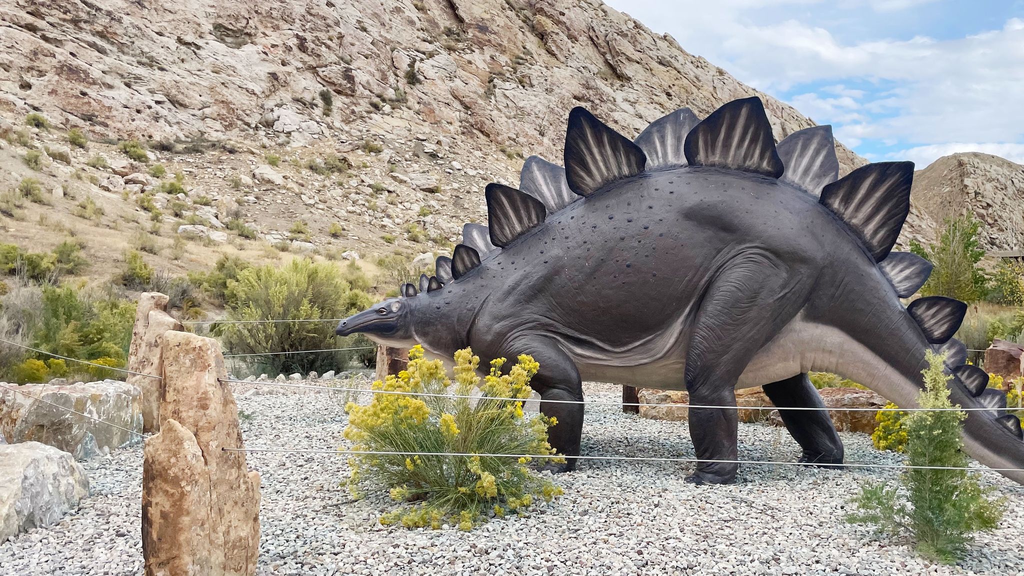
On the trail of the giants in the USA – Dinosaur National Monument
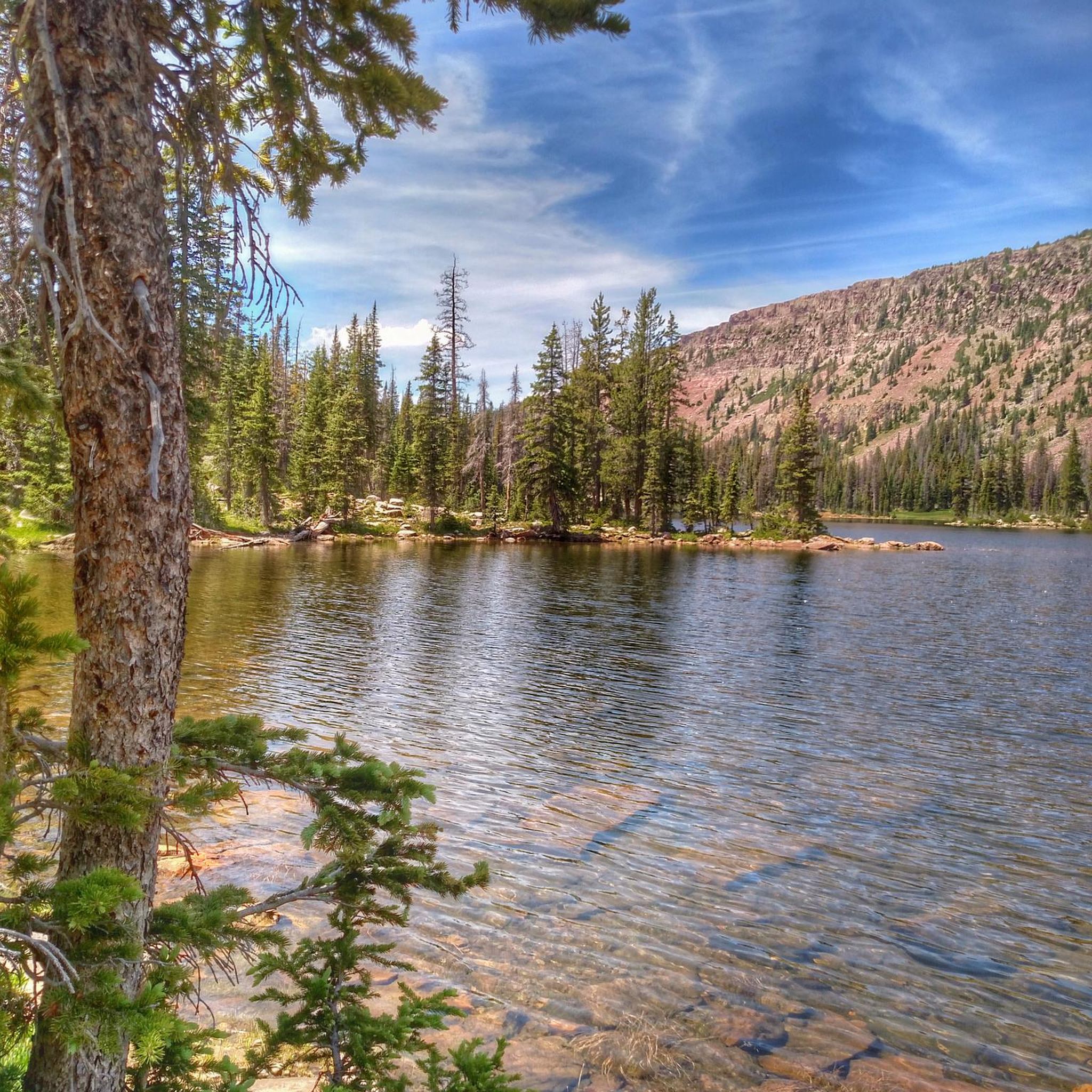
Hiking in the Uinta Mountains
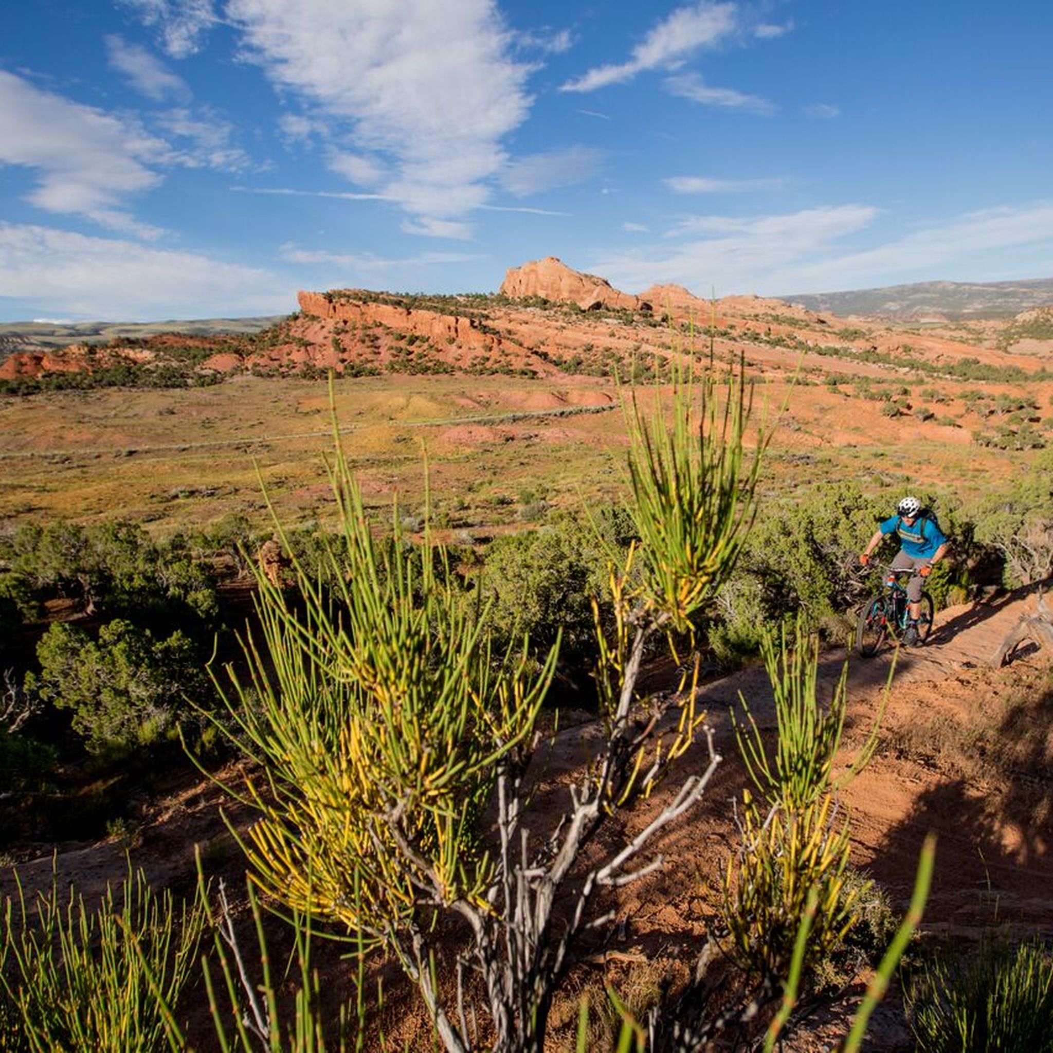
MTB Trails in the Uinta Mountains
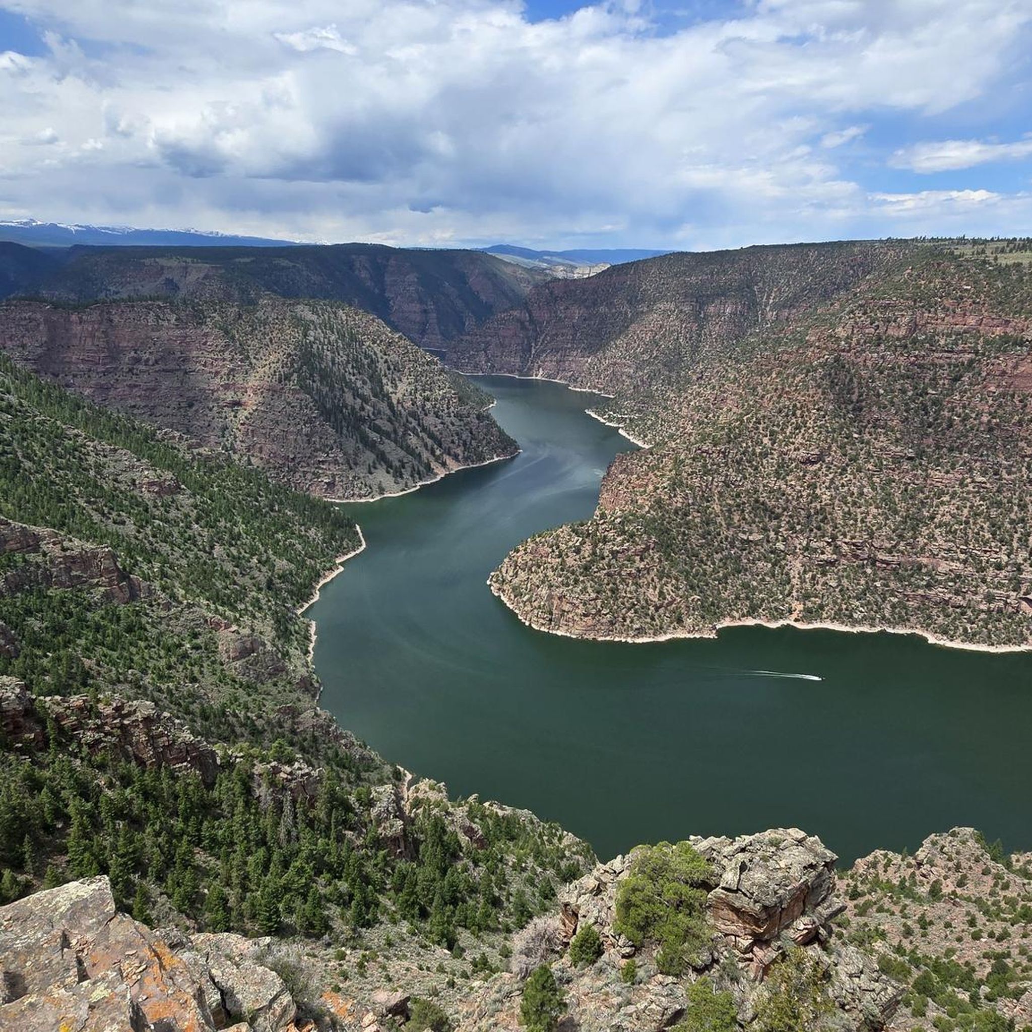
Road Cycling Routes in the Uinta Mountains
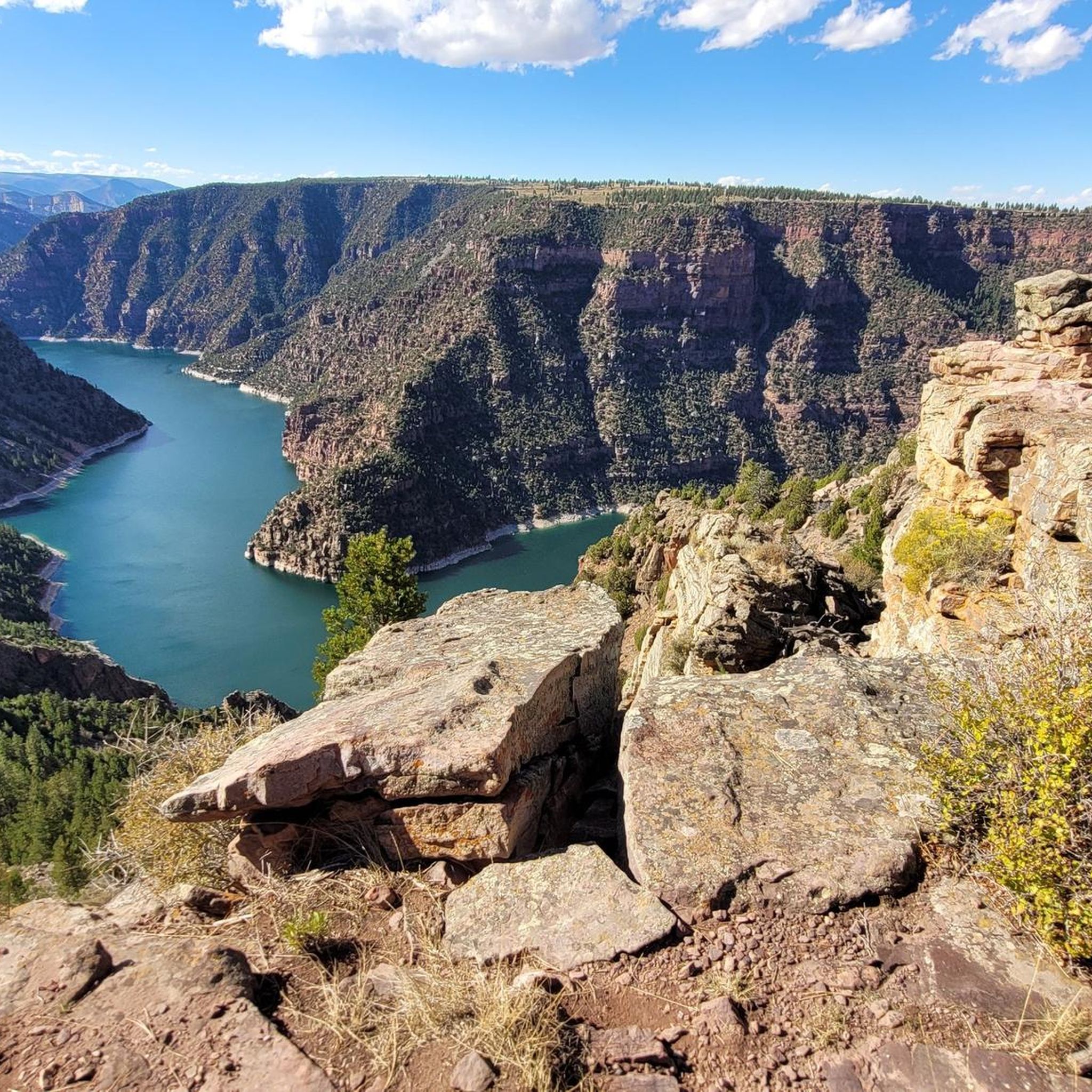
Cycling in the Uinta Mountains
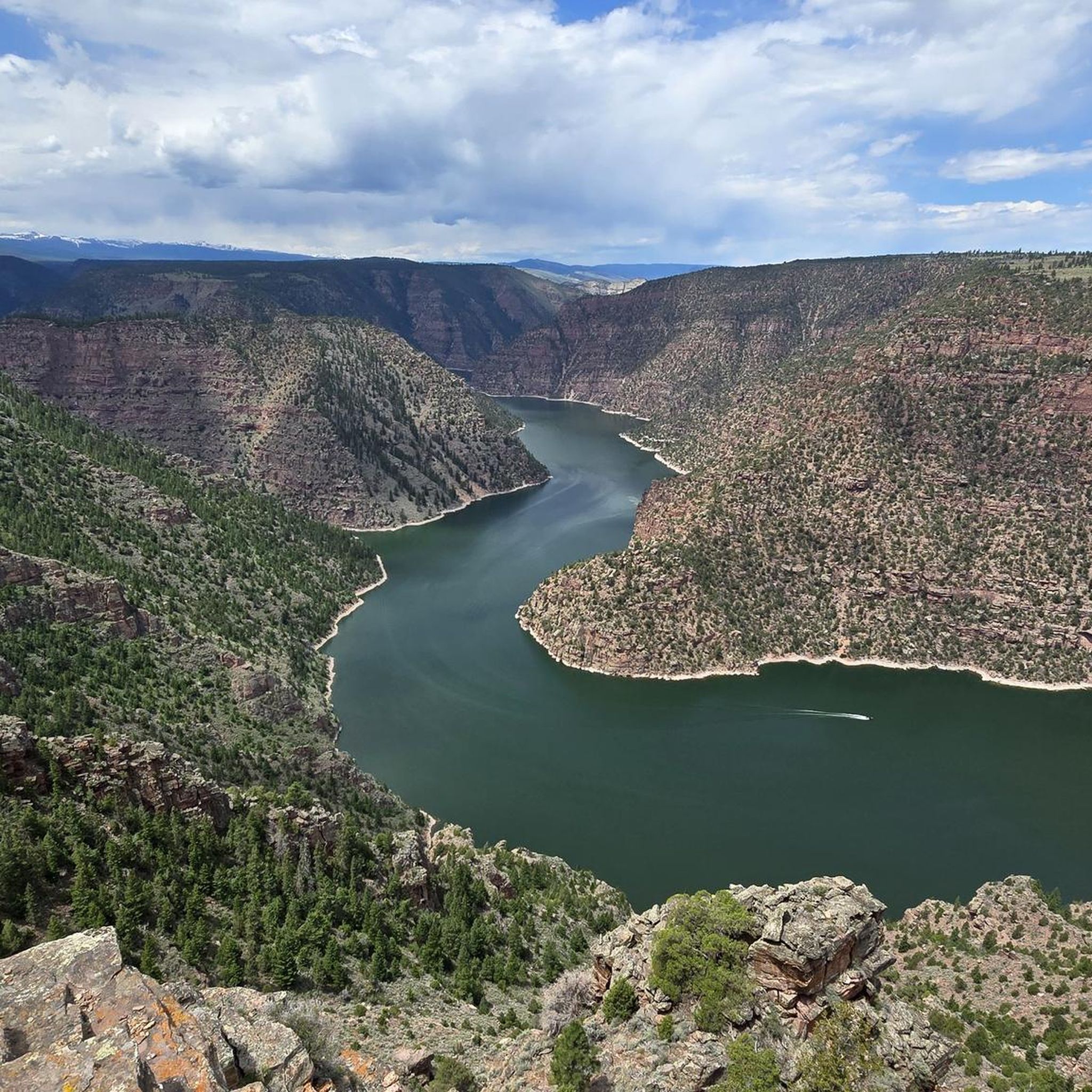
Running Trails in the Uinta Mountains


Tips from the Community

On an old legendary railway line.
0
0

Echo Reservoir is a manmade lake within Echo State Park. It is a popular spot for outdoor lovers. The Union Pacific Rail Trail passes close to the banks of the reservoir, so you get a great view of the water.
0
0
The Union Pacific Rail Trail is an almost 27-mile trail that runs from Park City to Echo. While it is a popular spot for hiking and biking, but there is a good chance you will have the trail to yourself.
1
0
Heber City is the gateway to several parks, national forests and nature areas in Utah, so it is a great place to start a ride. The city was first settled in 1859, and it still has several historic buildings that you can visit.
1
0

From this point, you can take the trail that, with a short, easy walk, will lead you through this area bathed by an artesian spring that forms terraced cascades and pools. You'll need to hop off the bike to explore it, but there is a parking area next to the trailhead.
1
0

It's a busy trail designed for everybody so, please pay attention to running humans, kids, dogs & wildlife.
1
3
Frequently Asked Questions
What kind of terrain can I expect on gravel bike trails in the Uinta Mountains?
The Uinta Mountains offer a diverse mix of terrain for gravel biking. You'll encounter well-graded dirt roads, 4x4 tracks, and smoother gravel sections. Some routes may also include more rugged, rockier sections or even short segments that require a hike-a-bike, especially on more adventurous trails. The landscape is characterized by high mountain ridges, extensive forests, and glacial valleys.
Are there any easy or moderate gravel bike trails suitable for beginners in the Uinta Mountains?
Yes, while many routes feature significant elevation gains, there are options for various skill levels. For a moderate ride, consider the Union Pacific Rail Trail – Echo Reservoir loop from Construction to Rail Trail, which covers 32.2 miles and incorporates sections of the mostly gravel Union Pacific Rail Trail. Another moderate option is the Dowd Mountain Overlook loop from Manila, a shorter 10.4-mile ride with scenic views.
What are some challenging gravel bike routes for experienced riders in the Uinta Mountains?
Experienced riders looking for a challenge will find several demanding routes. The Heber City loop from Heber Valley Railroad Depot is a difficult 47.4-mile trail with substantial elevation gains. Another challenging option is the Mill Hollow Reservoir – Yellow Lake loop from Nobletts, a 27.0-mile trail leading through high mountain ridges and glacial valleys.
What kind of scenic views or natural attractions can I expect along the gravel routes?
The Uinta Mountains are renowned for their breathtaking scenery. You'll find thousands of natural lakes and streams, including notable spots like Chepeta Lake and Lily Lake. The region also features dramatic high mountain ridges, thick evergreen woodlands, and vibrant meadows. For panoramic vistas, consider routes that offer views of deep canyons, such as those accessible from the Harpers Corner Trail or the Red Canyon Visitor Center.
Are there any loop routes available for gravel biking in the Uinta Mountains?
Yes, many of the gravel biking opportunities in the Uinta Mountains are designed as loops, allowing you to start and end at the same point. Examples include the Union Pacific Rail Trail – Echo Reservoir loop, the Mill Hollow Reservoir – Yellow Lake loop, and the Dowd Mountain Overlook loop.
What is the best time of year for gravel biking in the Uinta Mountains?
The best time for gravel biking in the Uinta Mountains is typically from late spring through early autumn. During these months, the higher elevations are more accessible as snow melts, and the weather is generally more favorable. Summer offers lush meadows and full access, while early fall provides cooler temperatures and stunning autumn foliage. Always check current conditions before heading out, as mountain weather can change rapidly.
Are there any family-friendly gravel biking options in the Uinta Mountains?
While many Uinta routes involve significant elevation, some sections or shorter trails can be suitable for families. The Union Pacific Rail Trail, which is mostly gravel, offers a relatively flatter and more accessible experience, and parts of it can be incorporated into family-friendly rides. Look for routes with lower elevation gains and smoother surfaces.
What should I bring for a gravel biking trip in the Uinta Mountains?
Given the varied terrain and potential for remote sections, it's essential to be well-prepared. Bring plenty of water, snacks, a repair kit (including spare tubes, pump, and multi-tool), and appropriate layers of clothing for changing weather conditions. A GPS device or a downloaded komoot tour is highly recommended for navigation, as cell service can be spotty. Sunscreen, sunglasses, and bear spray are also advisable.
Are there any specific permits required for gravel biking in the Uinta Mountains?
Generally, permits are not required for day-use gravel biking on established roads and trails within the Uinta-Wasatch-Cache National Forest. However, if you plan to enter designated wilderness areas or engage in bikepacking with overnight stays, specific permits may be necessary. Always check with the local Forest Service office for the most current regulations before your trip.
What do other gravel bikers enjoy most about riding in the Uinta Mountains?
The Uinta Mountains are highly rated by the komoot community, with an average score of 3.3 stars. Riders often praise the sense of solitude and adventure found on less-traveled routes, the challenging terrain that offers a rewarding experience, and the stunning natural beauty, including the numerous glacial lakes and high mountain vistas.
Where can I find parking for gravel bike trails in the Uinta Mountains?
Parking is available at various trailheads and access points throughout the Uinta Mountains. Many routes, such as the Heber City loop, start from established locations like the Heber Valley Railroad Depot, which typically offers parking. For routes accessing more remote areas, look for designated parking areas near Forest Service roads or popular recreational sites. Always ensure you park legally and do not block access.
Are there any towns near the Uinta Mountains that are good bases for cyclists?
Towns like Heber City and Park City are popular gateways to the Uinta Mountains and offer amenities for cyclists, including accommodation, dining, and bike shops. These towns provide convenient access to many gravel routes and the Mirror Lake Scenic Byway, which serves as a starting point for exploring the surrounding gravel paths and dirt roads.
Most popular routes in the Uinta Mountains
Most popular attractions in the Uinta Mountains

Get inspired with the komoot mobile app


Explore more
Browse the best Gravel rides in other regions.
