The 17 Most Amazing Peaks around Ceriana
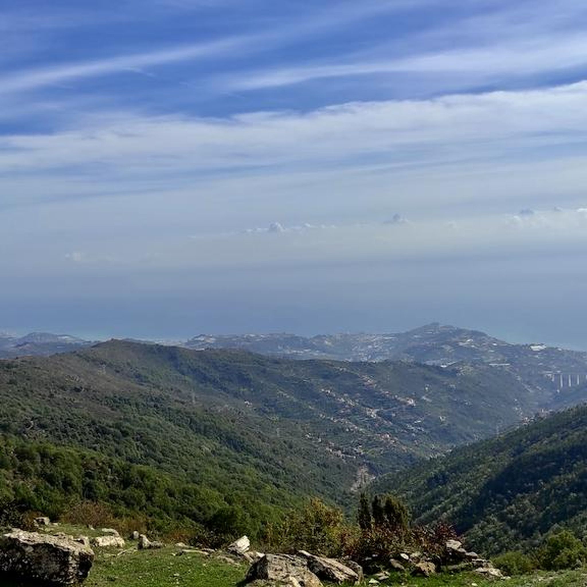
Best mountain peaks around Ceriana offer access to a mountainous landscape in the Ligurian Apennines, characterized by significant elevations and panoramic views. This region serves as a base for exploring a network of hiking trails that showcase the natural beauty and strategic location of Liguria. Elevated positions often provide vistas encompassing both the Mediterranean Sea and the Ligurian Alps. Many paths follow ancient mule tracks, connecting to the region's rich history and diverse ecosystems.
Best mountain peaks around Ceriana
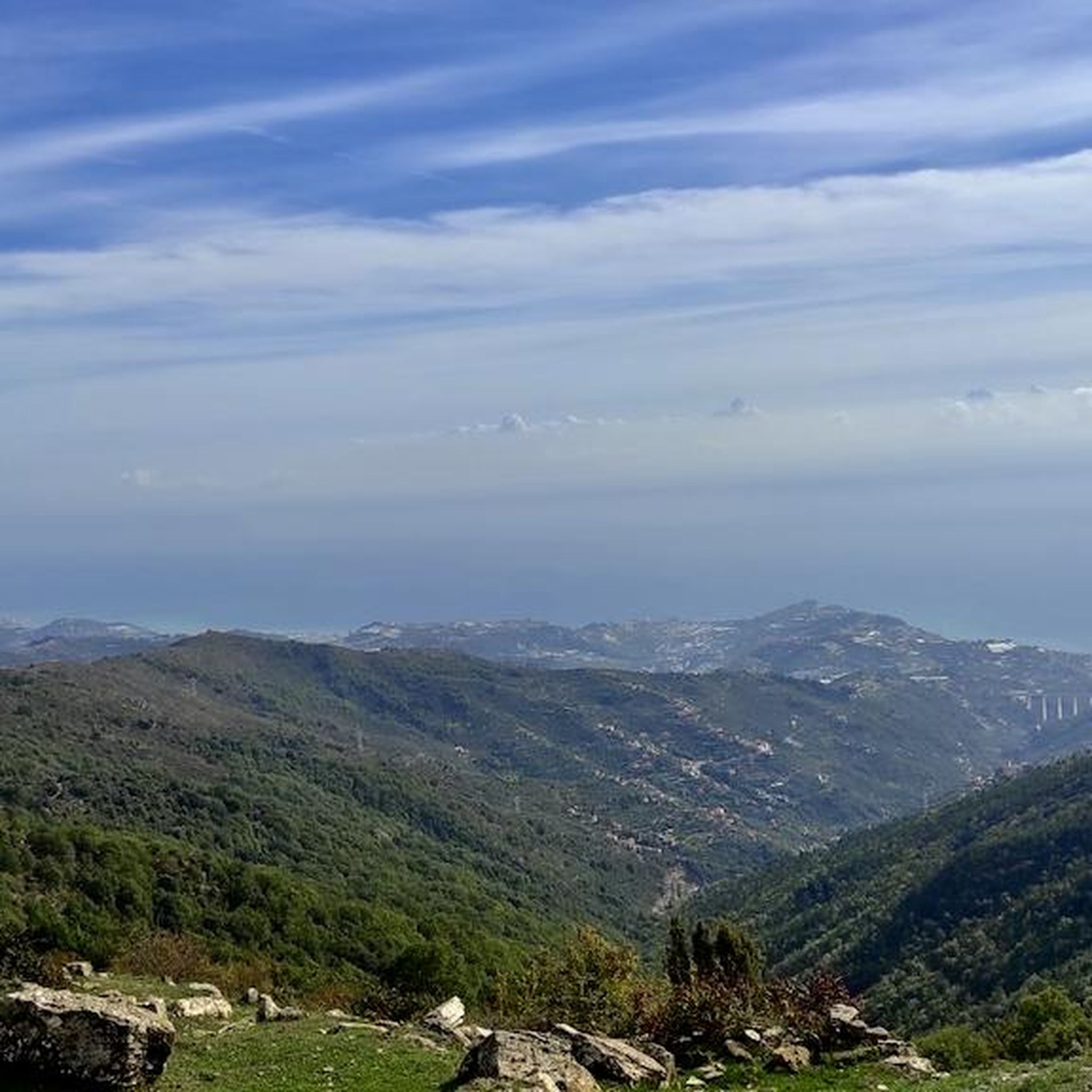
- The most popular mountain peaks is Monte Follia summit cross, a summit that stands at 1031 m and features a distinctive iron or steel summit cross. It is considered the twin brother of Monte Faudo.
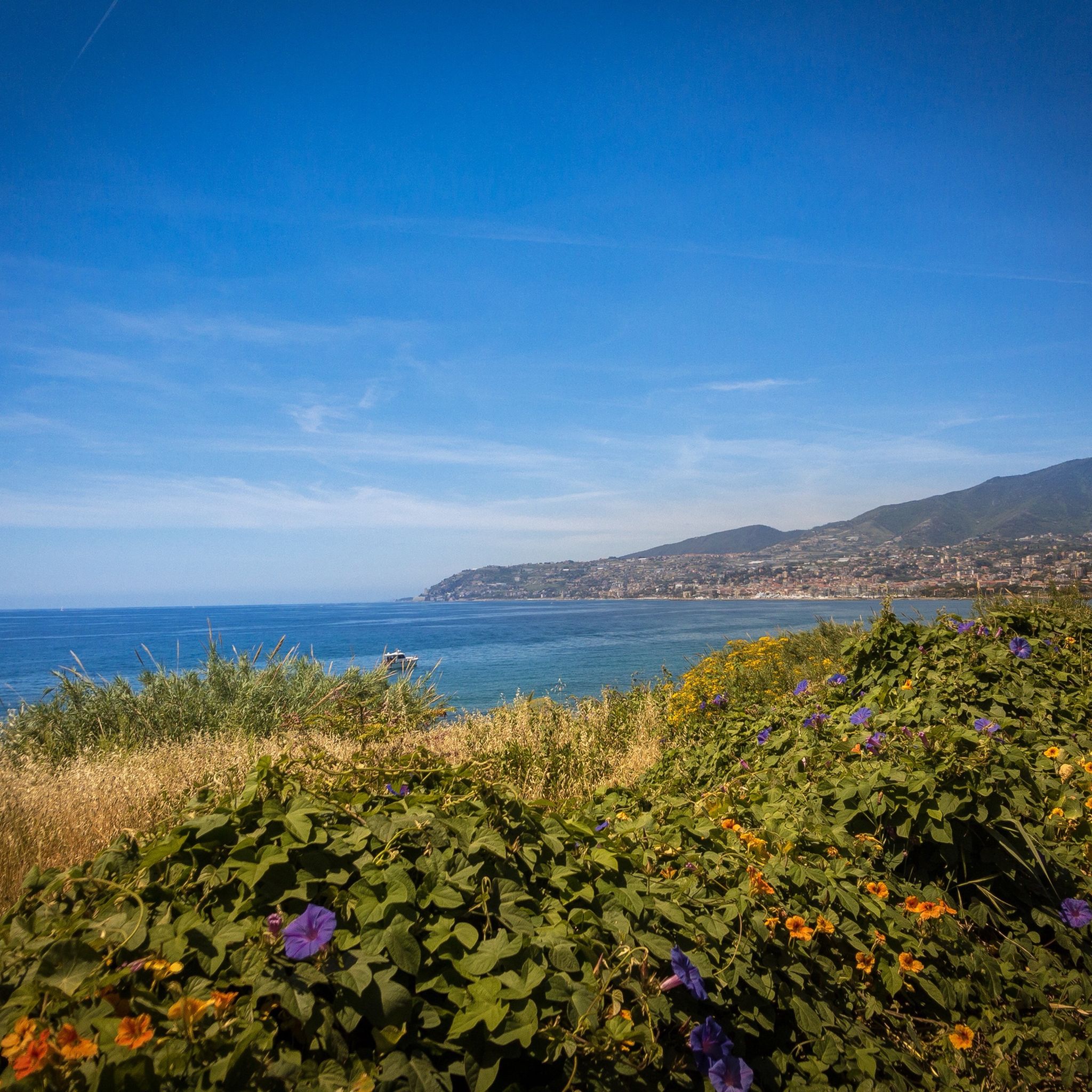
- Another must-see spot is Monte Faudo summit, a summit offering great views from the seashore to the Alps. This peak is included in path 707 "tour del Faudo".
- Visitors also love Endpoint of the Poggio climb (Milano-Sanremo route), a summit marking the end of the Poggio climb for the famous Milano-Sanremo cycling race. Here, cyclists make a sharp left turn to descend towards Sanremo.
- Ceriana is known for summits with panoramic views, historical routes, and challenging climbs. The area offers a variety of elevated experiences, from cycling endpoints to natural monuments.
- The mountain peaks around Ceriana are appreciated by the komoot community, with 116 upvotes and 183 photos shared.
Last updated: October 4, 2026
Monte Faudo summit
Highlight • Summit
Translated by Google •
Tip by

Monte Follia summit cross
Highlight • Summit
Translated by Google •
Tip by

Sign up now to discover places like this
Get recommendations on the best single tracks, peaks, & plenty of other exciting outdoor places.
Monte Toraggio
Highlight • Summit
Tip by

Monte Ceppo Summit
Highlight • Summit
Translated by Google •
Tip by

Endpoint of the Poggio climb (Milano-Sanremo route)
Highlight • Summit
Translated by Google •
Tip by
Sign up for free to discover even more peaks around Ceriana.
Already have an account?
Start today with a free account
Your next adventure awaits.

Tips from the Community

There's something mystical about Mount Faudo: a trail of ancient stories, far back in time. Today, it's best known for the marathon trail that climbs from Imperia to its summit and for the antennas dotting it; yet for centuries, it was a contested land between the church, neighboring states, and the villages on its slopes. Since the ancient Ligurians, well before the Romans. It shares this burden with Mount Follia and Mount Sette Fontane. The oldest evidence of human settlement in the Dolcedo area is near Mount Follia, a conical peak on the southern slope of Mount Faudo. Traces of metalworking have emerged there, with furnaces and residential structures, dating back to the Iron Age castellari, fortifications placed high up for observation and defense, in visual contact with other castellari in the area. Today, the site is abandoned: one can still walk and imagine the defensive landscape of the ancient Ligurians.
1
0

Beautiful view and adrenaline at its peak
3
0

Start of the descent of the Poggio
0
0

This is the point where the final climb of the famous Milan-Sanremo men's cycling race, the Poggio, ends. The runners here at the top make a sharp left turn to undertake the descent towards the Aurelia and head straight towards Sanremo. Inside the curve to the left there is an old telephone booth with a sign indicating the altitude of the climb.
0
0
Not so far from the actual summit of Monte Ceppo, located at 1,627 meters above sea level, this point is the highest that can be reached on asphalt. The last kilometers to get here from the southern side are really tough.
0
0

Nice roads across the Mediterranean Sea
0
0
if you are lucky, just before the summit there is the Fonte Dragurina which spits drinkable water, but it is often dry in summer.
3
1

ridden by all-mountain riders accustomed to these exposed tracks. to be covered with absolute attention, it certainly pays off the effort to get there.
3
0
Frequently Asked Questions
Which mountain peaks around Ceriana offer the best panoramic views?
Many elevated positions around Ceriana provide breathtaking vistas. For instance, the Monte Faudo summit offers spectacular views stretching from the seashore all the way to the Alps. Similarly, the ascent to Monte Bignone provides unobstructed views of the Italian-French border ridge and the Ligurian Alps. These locations often showcase the unique contrast between the sparkling Mediterranean Sea and the majestic mountains.
Are there challenging mountain hikes near Ceriana for experienced trekkers?
Yes, there are several challenging options. The hike from Ceriana to Rifugio della Valle del Lago (via Trail 127) is considered difficult, spanning 12.7 km with a significant elevation gain of 900 meters. Another demanding route is to Monte Toraggio, which features an exposed path with a metal rope, offering a thrilling experience for those seeking advanced trails.
What kind of natural features can I expect to see on the mountain trails around Ceriana?
The trails around Ceriana traverse diverse ecosystems. You can expect to see ancient olive groves, terraced fields, and dense chestnut and deciduous forests. Wildlife such as the black woodpecker can be spotted, and traces of wild boar might be observed. The journey to Rifugio della Valle del Lago, for example, takes you through these varied landscapes, including a notable large chestnut tree near Passo Furchè.
Are there any historical or cultural landmarks on the mountain peaks or trails?
Many hiking paths around Ceriana follow ancient mule tracks, connecting the present with the region's rich history. Ceriana itself is an 1100-year-old medieval village with well-preserved architecture. On Monte Follia, you'll find a distinctive iron or steel summit cross, which is a unique man-made monument. The area also includes points like the Endpoint of the Poggio climb, famous for the Milano-Sanremo cycling race, which has a historical significance in sports.
What are some popular hiking routes near Ceriana?
Popular hiking routes include the challenging Sentiero Balcone Mediterraneo from Dolceacqua to Perinaldo and the route from Ceriana to Rifugio della Valle del Lago. For a moderate option, consider the View of Ceriana loop from Ceriana. You can find more details on these and other trails in the Hiking around Ceriana guide.
What is the best time of year to visit the mountain peaks around Ceriana?
The region offers beauty across seasons, but for hiking, spring and autumn generally provide the most pleasant weather with milder temperatures. Starting early in the morning for ascents like Monte Bignone allows hikers to enjoy shaded forests. Always check local weather conditions, especially for higher elevations, as conditions can change rapidly.
Are there any mountain biking opportunities near Ceriana's peaks?
Yes, the area offers great mountain biking. Monte Faudo is easily doable both uphill and downhill with a gravel bike, with routes from Dolcedo or Civezza. The descent from Monte Follia towards the Taggia valley is also a known enduro mountain peak route. For more options, explore the MTB Trails around Ceriana guide, which includes routes like the Monte Bignone loop.
Can I find family-friendly mountain walks or activities near Ceriana?
While some routes are challenging, the variety of trails means there are options for different skill levels. For family-friendly walks, look for trails with moderate or easier difficulty ratings. The historical and cultural aspects of Ceriana itself, combined with shorter, less strenuous walks through olive groves, can be enjoyable for families. Always check the specific trail details for elevation and distance to ensure it suits your family's abilities.
What makes Monte Bignone a notable peak to visit?
Monte Bignone, located near Bajardo, offers one of the most scenic ascents in the region. Its western approach provides unobstructed views of the Italian-French border ridge and the Ligurian Alps. It's part of the mountainous terrain connecting Ceriana to the Alta Valle Argentina, sometimes called the 'Mystic Alps of Liguria,' known for its natural beauty and tranquility.
What are some other outdoor activities besides hiking and mountain biking available around Ceriana?
Beyond hiking and mountain biking, the region is excellent for road cycling. The Endpoint of the Poggio climb is a famous spot for road cyclists, marking the end of the iconic Milano-Sanremo race's final ascent. You can find various road cycling routes, including those from Sanremo to Apricale via Monte Bignone, in the Road Cycling Routes around Ceriana guide.
What are the highest points accessible by road or trail near Ceriana?
The highest point accessible by asphalt is near Monte Ceppo Summit, at 1,627 meters above sea level, though the surface can be challenging. For hikers, the trail to Rifugio della Valle del Lago reaches a highest point of 970 meters, while Monte Bignone stands at 1299 meters.
What should I know about the difficulty of trails around Ceriana?
The trails around Ceriana offer a variety of difficulty levels. Some, like the route to Rifugio della Valle del Lago, are rated 'hard' and require good fitness and sure-footedness. Others, such as the 'View of Ceriana loop,' are considered 'moderate.' It's always recommended to check the specific trail's difficulty, distance, and elevation gain before setting out to match it with your experience level.
Most popular attractions around Ceriana

Get inspired with the komoot mobile app


Explore more
See even more amazing summits around Ceriana with these guides:
