The best road cycling routes around Montegrino Valtravaglia
4.4
(512)
12,725
riders
96
rides
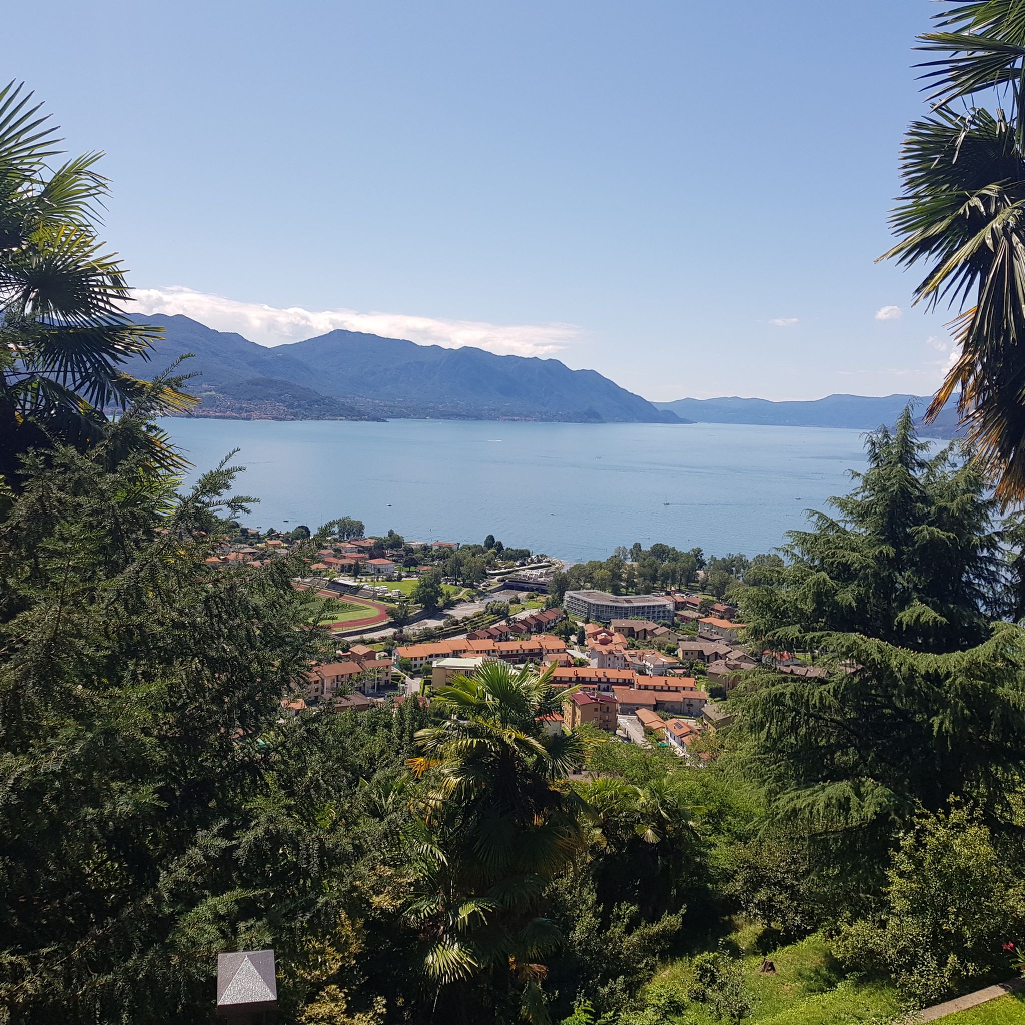
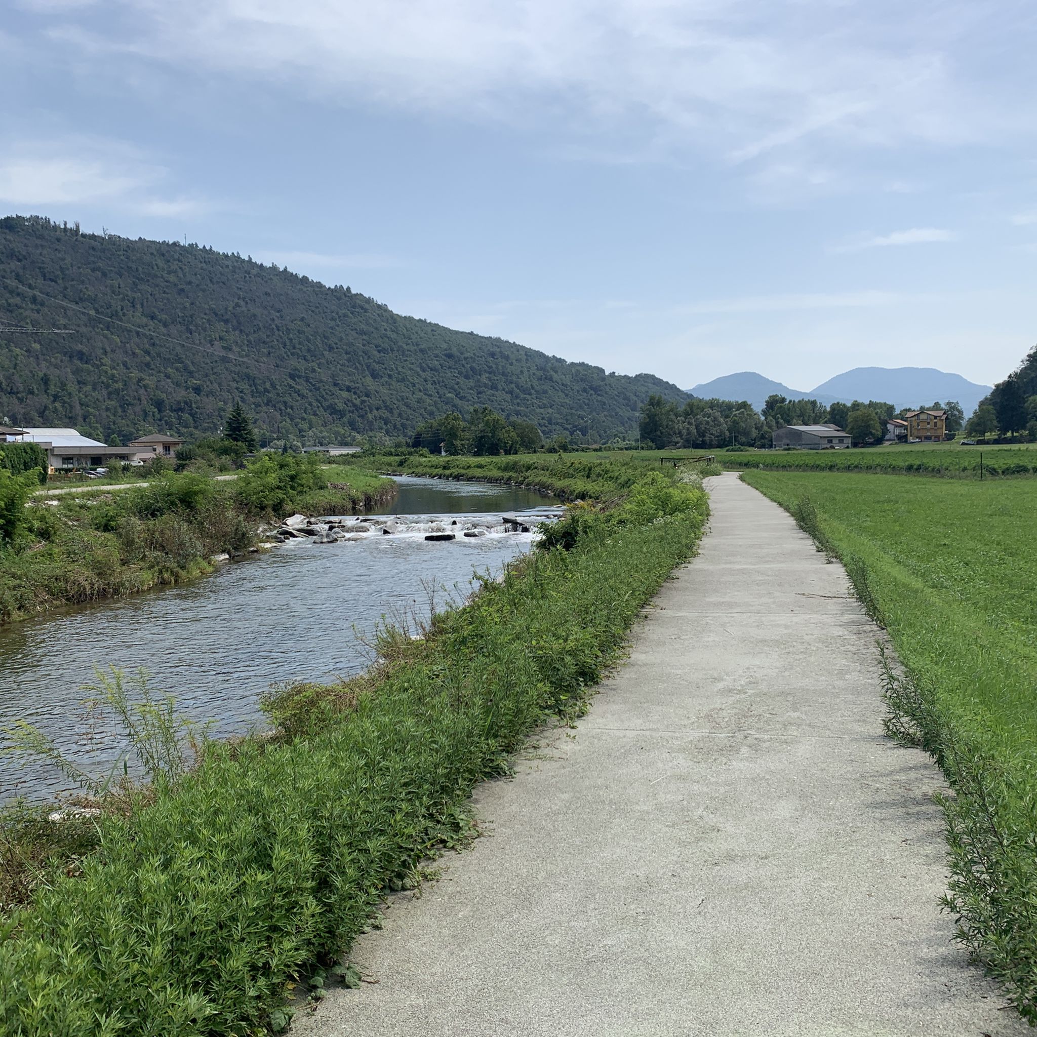
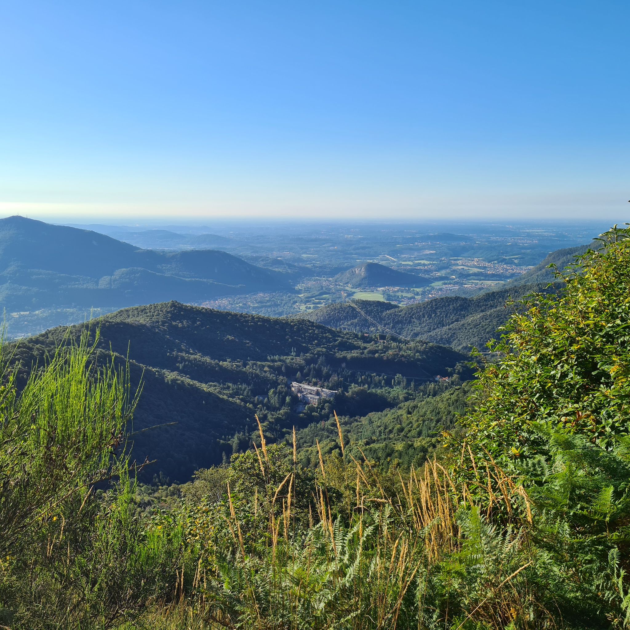
Road cycling around Montegrino Valtravaglia offers varied landscapes with both challenging climbs and scenic routes. The region is characterized by its elevated position, providing expansive views of surrounding valleys and Lake Maggiore. Cyclists can explore diverse topography, including pine forests and routes that connect to nearby towns, catering to different preferences. This area provides a mix of terrain suitable for various road cycling experiences.
Best road cycling routes around Montegrino Valtravaglia
- The most popular road cycling route is Ascent of…
Last updated: July 10, 2026
4.8
(72)
1,843
riders
64.0km
03:49
1,640m
1,640m
Hard road ride. Very good fitness required. Mostly well-paved surfaces and easy to ride.
4.4
(14)
277
riders
60.5km
02:58
770m
770m
Moderate road ride. Good fitness required. Mostly well-paved surfaces and easy to ride.

Sign up for free
5.0
(1)
17
riders
69.1km
04:29
2,130m
2,130m
Hard road ride. Very good fitness required. Mostly well-paved surfaces and easy to ride.
4.3
(22)
441
riders
Moderate road ride. Good fitness required. Some segments of this route may be unpaved and difficult to ride.
5.0
(12)
319
riders
47.2km
02:53
1,260m
1,260m
Hard road ride. Very good fitness required. Mostly well-paved surfaces and easy to ride.
Get access to more routes and recommendations from other explorers.
Sign up for free
Already have an account?
Our route recommendations are based on thousands of hikes, rides, and runs completed by other people on komoot.
Start today with a free account
Your next adventure awaits.
Login or Signup

Tips from the Community

Relaxing, panoramic and peaceful route.
0
0

It's perfect, not too long, not too short, not too busy, incredibly magical places.
1
0

Beautiful bathing area
0
0
Beautiful view with seating
0
0

Once you arrive in Laveno, there are many choices for a bike ride.
1
0

Pretty town in the province of Varese.
15
0
Crossing the Valcuvia from Brinzio towards Luino, you arrive at Rancio Valcuvia, here you find the mosaic in the photo, with its fountain. Fairytale landscapes.
3
0
Frequently Asked Questions
What kind of terrain can I expect on road cycling routes around Montegrino Valtravaglia?
Road cycling around Montegrino Valtravaglia offers a diverse landscape, ranging from challenging climbs with significant elevation gains to more scenic and tranquil routes. You'll encounter varied topography, including sections through pine forests and routes that connect to nearby towns, providing a mix of experiences for different skill levels.
Are there routes suitable for advanced road cyclists seeking a challenge?
Yes, Montegrino Valtravaglia is known for its challenging climbs. Routes like Ascent of Alpe di Neggia (64.0 km with 1644m elevation gain) and Forcora and Pradecolo (69.1 km with 2129m elevation gain) are classified as difficult and offer substantial ascents and rewarding views, including panoramas of Lake Maggiore and Monte Rosa.
Can I find road cycling routes that offer panoramic views?
Absolutely. The region's elevated position, particularly around Monte Sette Termini, provides breathtaking panoramas. Many routes offer expansive views of the surrounding valleys, Lake Maggiore, and even the distant Monte Rosa. The Ascent of Alpe di Neggia is particularly noted for its panoramic vistas.
Are there any circular road cycling routes in the area?
Yes, you can find several scenic loops. For instance, the Ring tour between Lake Maggiore, Ceresio and Valganna is a moderate 60.5 km path that offers a beautiful loop connecting multiple lakes and valleys. Another option is the Luino town centre and lakeside – Forcora Pass loop from Brezzo di Bedero.
What are some interesting landmarks or attractions I might see along the road cycling routes?
The region is rich in natural beauty and historical sites. While cycling, you might encounter historical structures from the Cadorna Line, such as trenches and wartime buildings. For specific points of interest, consider exploring nearby castles like Orino Fortress or the Ruins of Meriggino Castle. You could also visit natural highlights like the Cascata della Froda or the Al Maglio waterfall.
What is the best time of year for road cycling in Montegrino Valtravaglia?
Given the varied terrain and potential for challenging climbs, spring and autumn generally offer the most pleasant conditions for road cycling, with milder temperatures. Summer can also be suitable, especially for higher elevation routes, but be prepared for warmer weather. The region's natural beauty, including pine forests, makes it enjoyable across multiple seasons.
Are there any family-friendly road cycling options or areas suitable for a more relaxed ride?
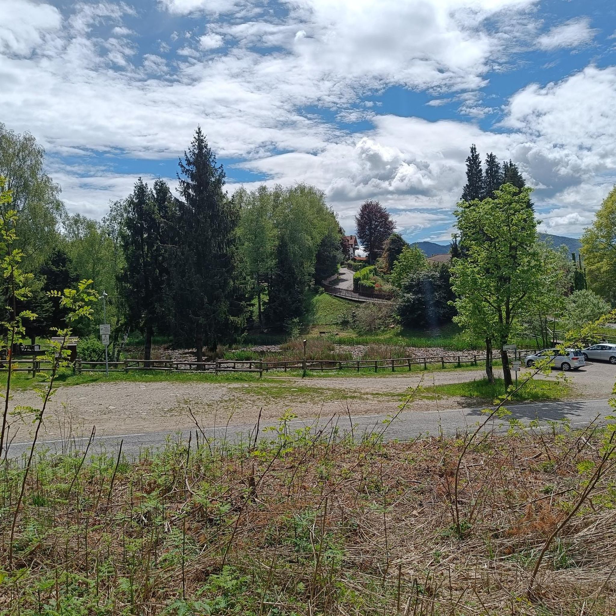
While many road cycling routes in Montegrino Valtravaglia involve significant elevation, the region also offers a mix of terrain. For a more relaxed experience, consider exploring the tranquil surroundings of the Pineta Alta, a large pine forest with amenities like benches and a 'life path,' which might offer gentler sections or serve as a pleasant starting point for shorter, less strenuous rides. However, dedicated family-friendly road cycling routes are less common than challenging ascents.
What do other road cyclists appreciate most about cycling in Montegrino Valtravaglia?
The road cycling routes around Montegrino Valtravaglia are highly rated by the komoot community, with an average score of 4.5 stars from over 480 reviews. Cyclists often praise the varied landscapes, the mix of challenging climbs and scenic routes, and the expansive panoramic views of the surrounding valleys and Lake Maggiore.
Are there options for long-distance road cycling routes?
Yes, Montegrino Valtravaglia offers several longer routes. For example, the Arona on Lake Maggiore – View of Isola Bella loop from Luino is a substantial 106.1 km route, providing an extensive ride through diverse scenery. The Forcora and Pradecolo route also covers a significant distance of 69.1 km.
Is it possible to find cafes or places to stop for refreshments along the road cycling routes?
The villages in and around Montegrino Valtravaglia are generally quiet and peaceful, but routes connecting to nearby towns like Luino and Laveno will offer more opportunities for cafes, restaurants, and other amenities. Planning your route in advance and checking for stops in these larger settlements is advisable for refreshment breaks.
How many road cycling routes are available in Montegrino Valtravaglia?
There are over 100 road cycling routes available around Montegrino Valtravaglia, catering to various skill levels from moderate loops to difficult climbs. This extensive network ensures a wide range of options for every road cyclist.
Most popular routes around Montegrino Valtravaglia
Most popular attractions around Montegrino Valtravaglia

Get inspired with the komoot mobile app


Explore more
Browse the best Road cycling routes in other regions.
