The best running trails around Montegrino Valtravaglia
4.3
(225)
5,185
runners
210
runs
Jogging around Montegrino Valtravaglia features routes that traverse dedicated cycle paths and scenic lakeside areas. The terrain primarily consists of gentle gradients, with some routes offering views of Lake Maggiore and the surrounding hills. The region provides a mix of flat sections along the water and slightly undulating paths through the landscape.
Best jogging routes around Montegrino Valtravaglia
- The most popular jogging route is Lake Ghirla Cycle Path – Lake Ghirla loop from Cugliate-Fabiasco, a 7.9 miles (12.7 km)…
Last updated: October 9, 2026
3.6
(5)
78
runners
9.98km
01:02
50m
50m
Moderate run. Good fitness required. Mostly paved surfaces. Suitable for all skill levels.
51
runners
12.2km
02:01
800m
800m
Hard run. Very good fitness required. Sure-footedness, sturdy shoes and alpine experience required.

4.5
(2)
88
runners
13.5km
01:24
50m
50m
Moderate run. Good fitness required. Mostly paved surfaces. Suitable for all skill levels.
28
runners
31.1km
05:11
1,950m
1,940m
Hard run. Very good fitness required. Sure-footedness, sturdy shoes and alpine experience required.
5.0
(1)
32
runners
12.7km
01:21
170m
170m
Moderate run. Good fitness required. Mostly paved surfaces. Suitable for all skill levels.
Get access to more routes and recommendations from other explorers.
Already have an account?
Our route recommendations are based on thousands of hikes, rides, and runs completed by other people on komoot.
Start today with a free account
Your next adventure awaits.

Tips from the Community

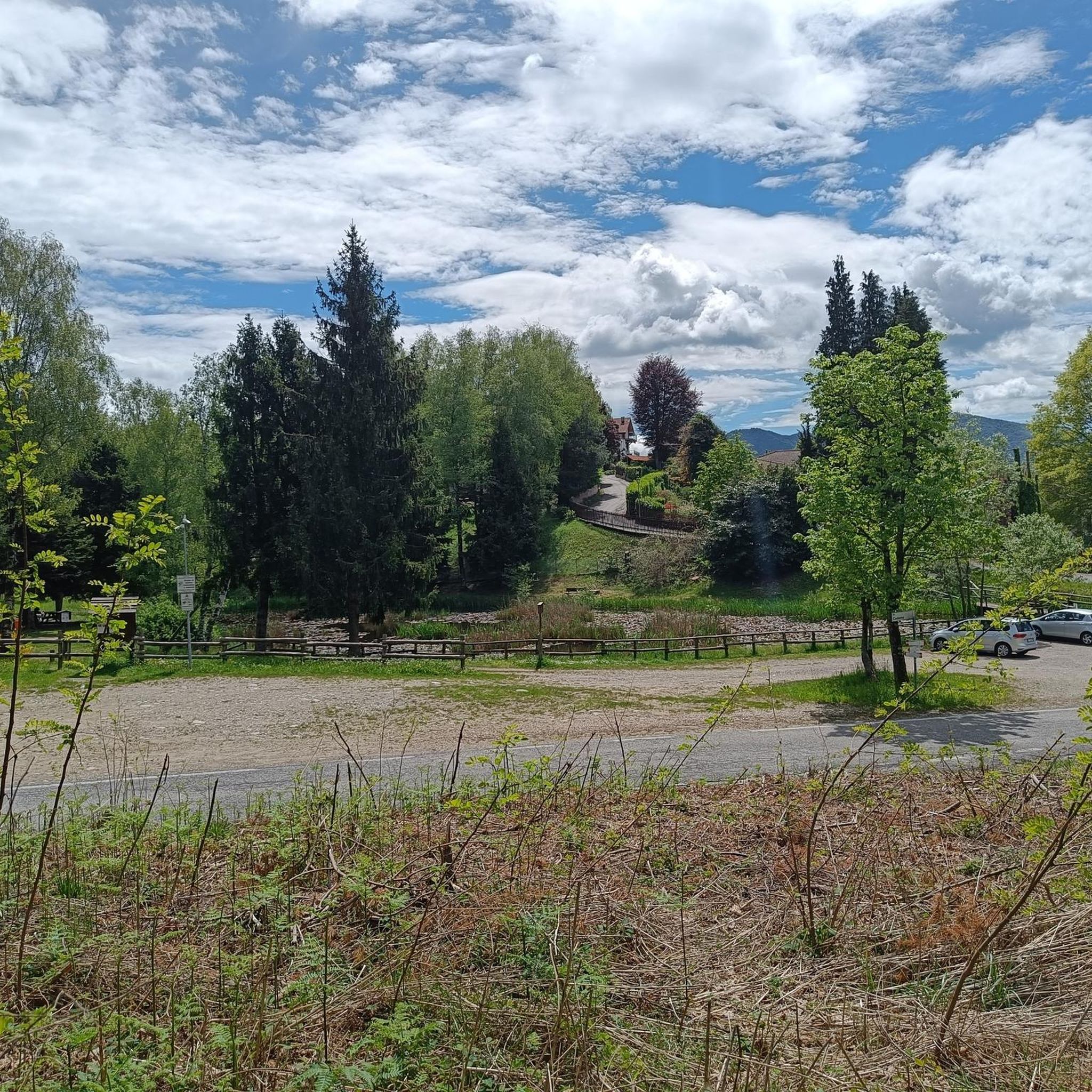
Fantastic, fresh and relaxing places, I recommend them
0
0

San Michele is a beautiful small church
0
0


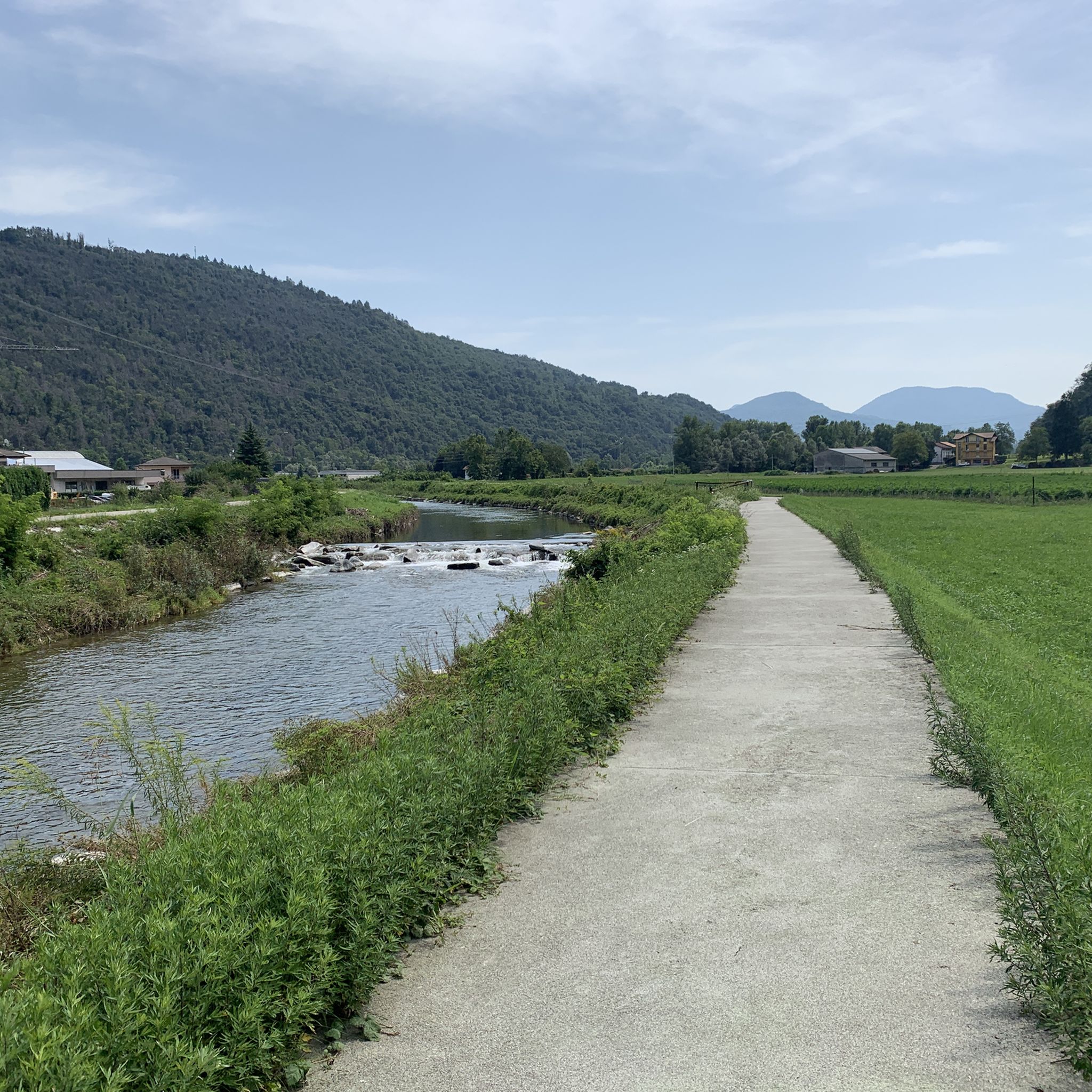
very nice up-and-down cycle path, ideal for gravel; not necessarily suitable for racing bikes
1
0


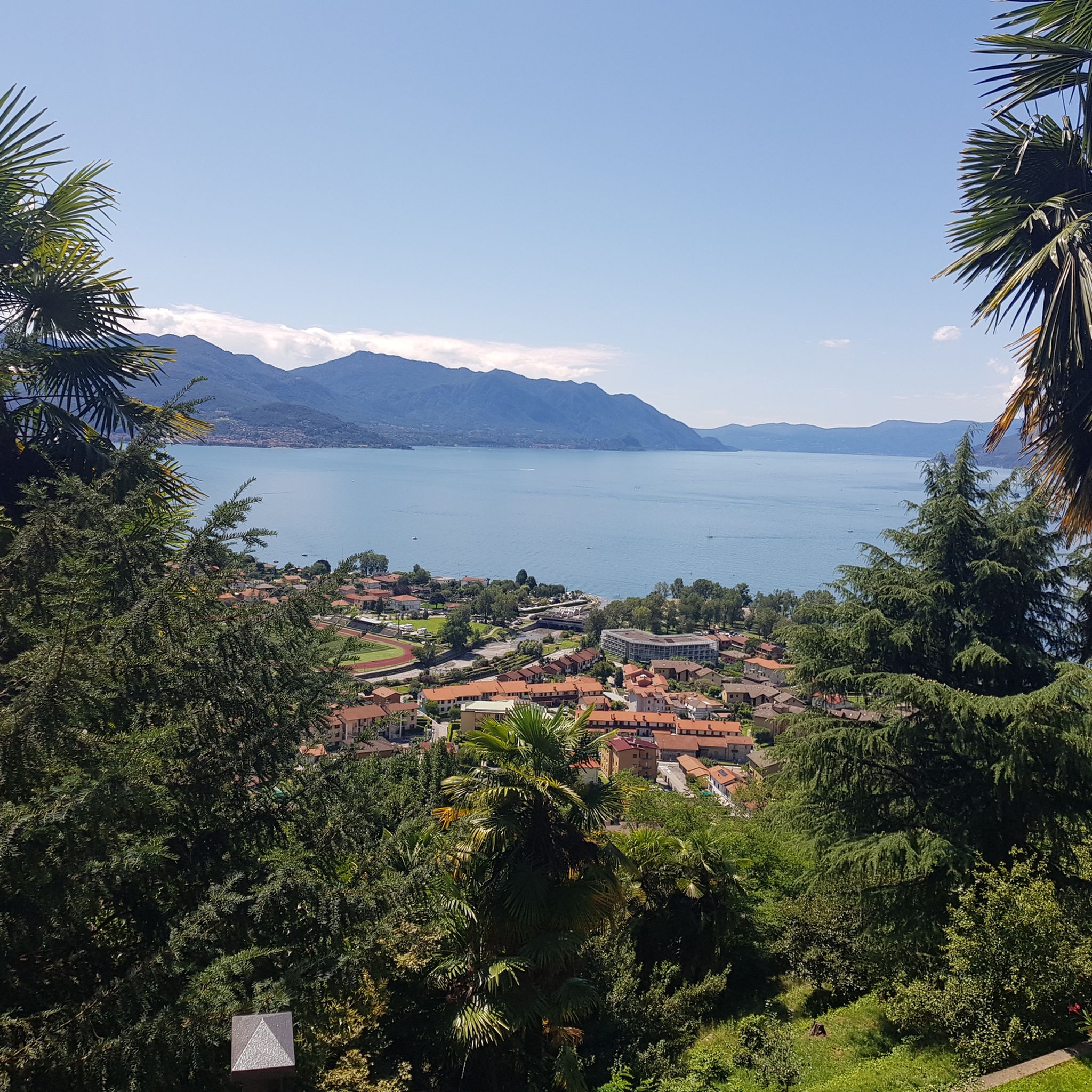
Between Lake Maggiore and Lake Lugano, this panoramic point near Monte Pian Nave (1,058 meters above sea level in the municipality of Porto Valtravaglia) is an excellent glimpse of the northern part of Lake Maggiore. Especially at sunset, this place can be very fascinating.
0
0

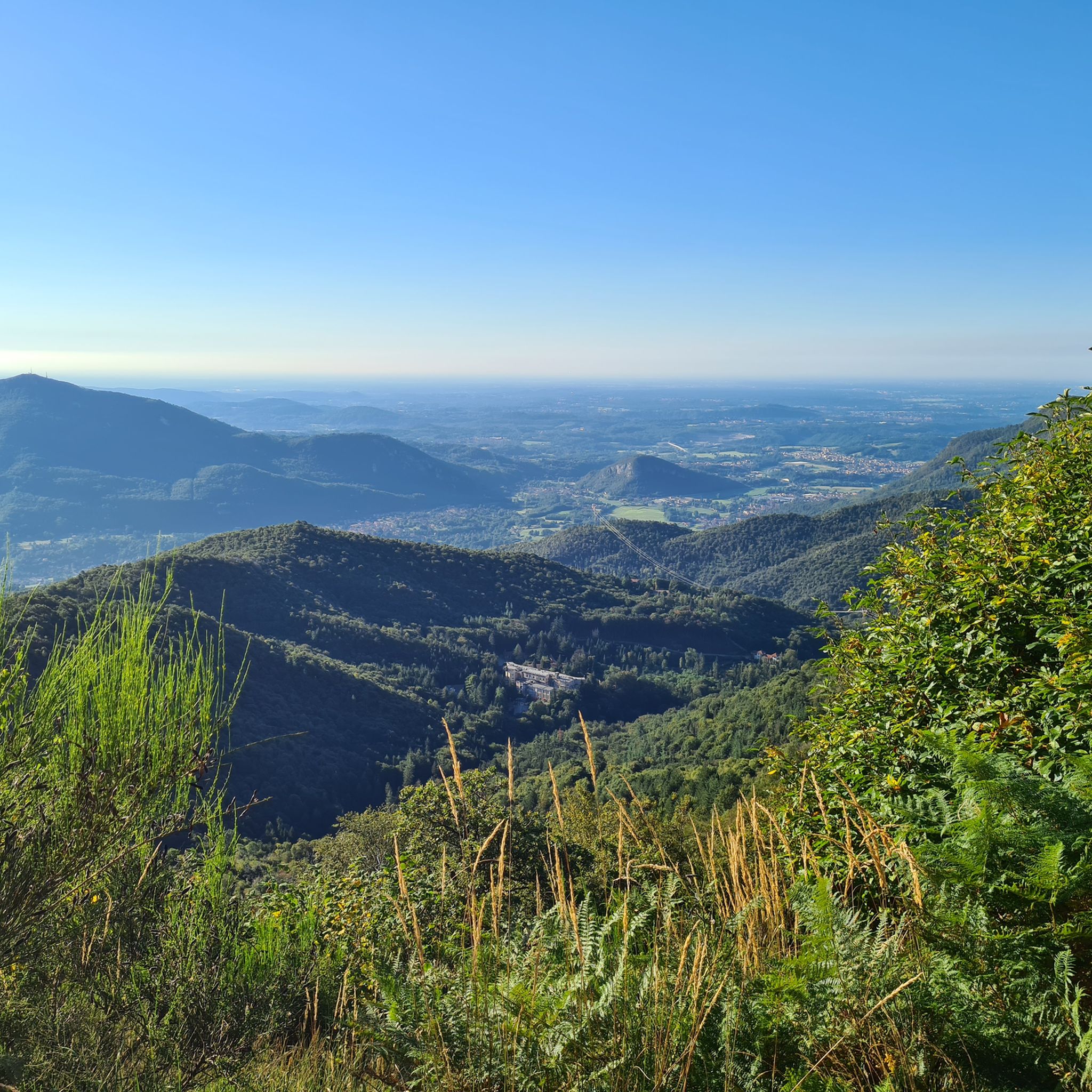
Passo San Michele (885 m) al Monte (Porto Valtravaglia) The Passo San Michele in the mountain range between Luino in the north, Laveno in the southwest and the Val Cuvia, east of Lake Maggiore. Specifically, three roads meet at the Passo San Michele: the southern approach from the Passo San Antonio, the eastern approach from Grantola via the small town of Brissago Valtravagli and the northwestern approach from Muceno. Text / Source: quaeldich.de https://www.quaeldich.de/paesse/passo-san-michele/
11
0

Frequently Asked Questions
How many running routes are available around Montegrino Valtravaglia?
There are over 180 running routes in the Montegrino Valtravaglia area, offering a wide range of options from easy jogs to more challenging trails. The komoot community has explored these paths over 3,700 times.
Are there easy running routes suitable for beginners in Montegrino Valtravaglia?
Yes, Montegrino Valtravaglia offers several easy running routes perfect for beginners. These often follow dedicated cycle paths or flat lakeside sections. For example, the Lake Ghirla Cycle Path – Lake Ghirla loop from Cugliate-Fabiasco is a gentle option that follows the lake shore.
Can I find circular running routes in the region?
Many of the running trails around Montegrino Valtravaglia are designed as loops, allowing you to start and finish in the same location. A popular choice is the Lake Ghirla – Valganna Cycle Path loop from Cugliate-Fabiasco, which connects two scenic areas.
What kind of terrain can I expect on the jogging trails?
The terrain primarily consists of gentle gradients, with many routes traversing dedicated cycle paths and scenic lakeside areas. You'll find a mix of flat sections along the water and slightly undulating paths through the landscape, offering varied running experiences.
Are there any running routes that offer views of Lake Maggiore?
Absolutely. Several routes provide stunning views of Lake Maggiore and the surrounding hills. The Running loop from Luino is a great example, offering picturesque vistas of the lake and its landscape.
What do other runners enjoy most about jogging in Montegrino Valtravaglia?
The running routes in Montegrino Valtravaglia are highly rated by the komoot community, with an average score of 4.3 stars from over 150 reviews. Runners often praise the well-maintained cycle paths, the serene lakeside environments, and the beautiful views of Lake Maggiore and the surrounding nature.
Are there any historical landmarks or natural attractions along the running routes?
Yes, the region is rich in points of interest. While running, you might encounter historical sites or natural beauty spots. For example, the area around Montegrino Valtravaglia features several castles, such as the Orino Fortress or the Ruins of Meriggino Castle. You can also find impressive mountain peaks like Monte Lema nearby.
Are the running trails in Montegrino Valtravaglia suitable for families?
Many of the easier routes, particularly those on dedicated cycle paths or flat lakeside sections, are well-suited for families. These paths offer safe and enjoyable environments for all ages to run or walk together.
Where can I find parking or trailheads for these running routes?
Many routes start and end in towns or villages like Cugliate-Fabiasco or Luino, where public parking is generally available. For instance, the Running loop from Dumenza typically begins in the village, offering convenient access.
Are there any running routes that pass by cafes or refreshment points?
Routes that start or pass through towns and villages, such as Luino or Cugliate-Fabiasco, often have cafes or shops nearby where you can grab a refreshment before or after your run. The Luino town centre and lakeside – Luino lakefront loop from Luino is a good option if you're looking for amenities.
What is the best time of year for running in Montegrino Valtravaglia?
The region is generally pleasant for running from spring through autumn. Lakeside paths are often enjoyable year-round, though higher elevation trails might be best avoided in winter due to snow or ice. Always check local weather conditions before heading out.
Most popular routes around Montegrino Valtravaglia
Most popular attractions around Montegrino Valtravaglia

Get inspired with the komoot mobile app


Explore more
Browse the best Running Trails & Routes in other regions.
