The best walks and hikes around Carlentini
4.7
(368)
1,610
hikers
37
hikes
Hiking around Carlentini offers access to diverse landscapes, characterized by ancient necropolises, river valleys, and rural terrain. The region features varied elevations, with trails winding through historical sites and natural areas. Hikers can explore the Anapo river valley and the unique rock formations of Pantalica. The area provides a range of hiking experiences, from challenging long-distance routes to shorter, more accessible paths.
Best hiking trails around Carlentini
- The most popular hiking route is Necropoli di Pantalica — ring tour,…
Last updated: May 11, 2026
4.8
(227)
988
hikers
12.2km
03:53
390m
390m
Hard hike. Good fitness required. Sure-footedness, sturdy shoes and alpine experience required.
26.1km
07:57
750m
760m
Hard hike. Very good fitness required. Sure-footedness, sturdy shoes and alpine experience required.

Sign up for free
25.5km
07:24
590m
590m
Hard hike. Very good fitness required. Mostly accessible paths. Sure-footedness required.
4.8
(18)
44
hikers
Moderate hike. Good fitness required. Mostly accessible paths. Sure-footedness required.
4.7
(14)
103
hikers
Moderate hike. Great for any fitness level. Mostly accessible paths. Sure-footedness required.
Get access to more routes and recommendations from other explorers.
Sign up for free
Already have an account?
Our route recommendations are based on thousands of hikes, rides, and runs completed by other people on komoot.
Start today with a free account
Your next adventure awaits.
Login or Signup
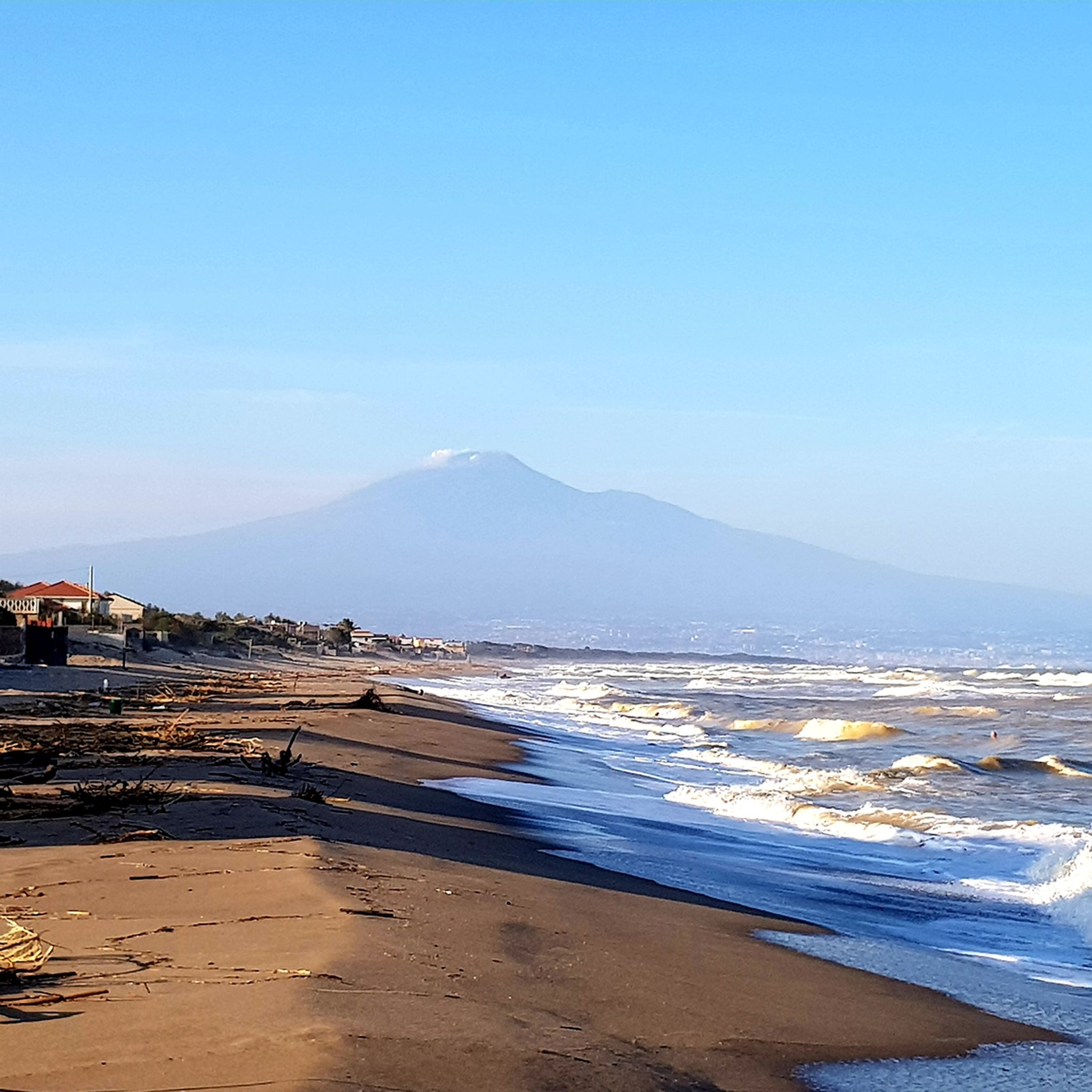
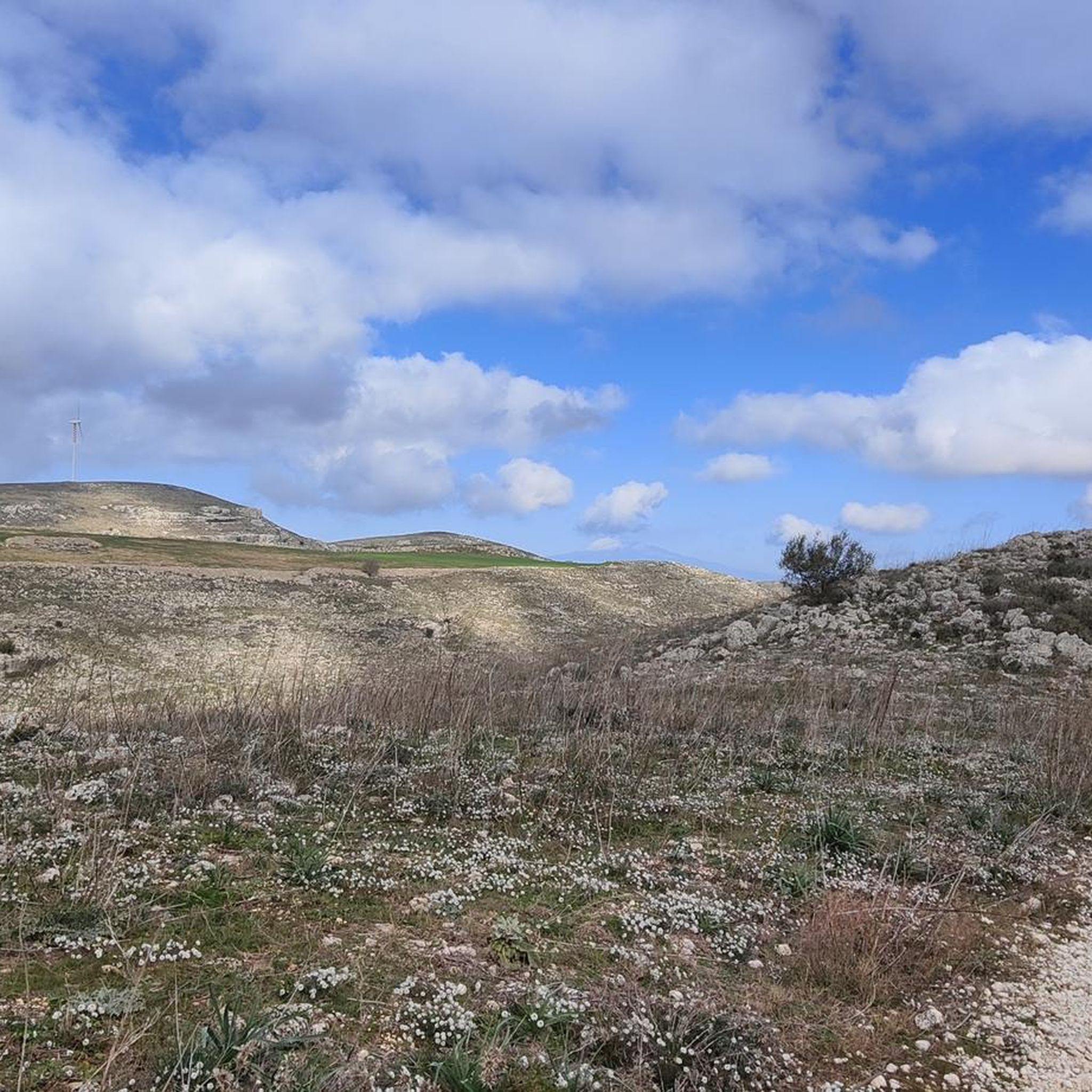
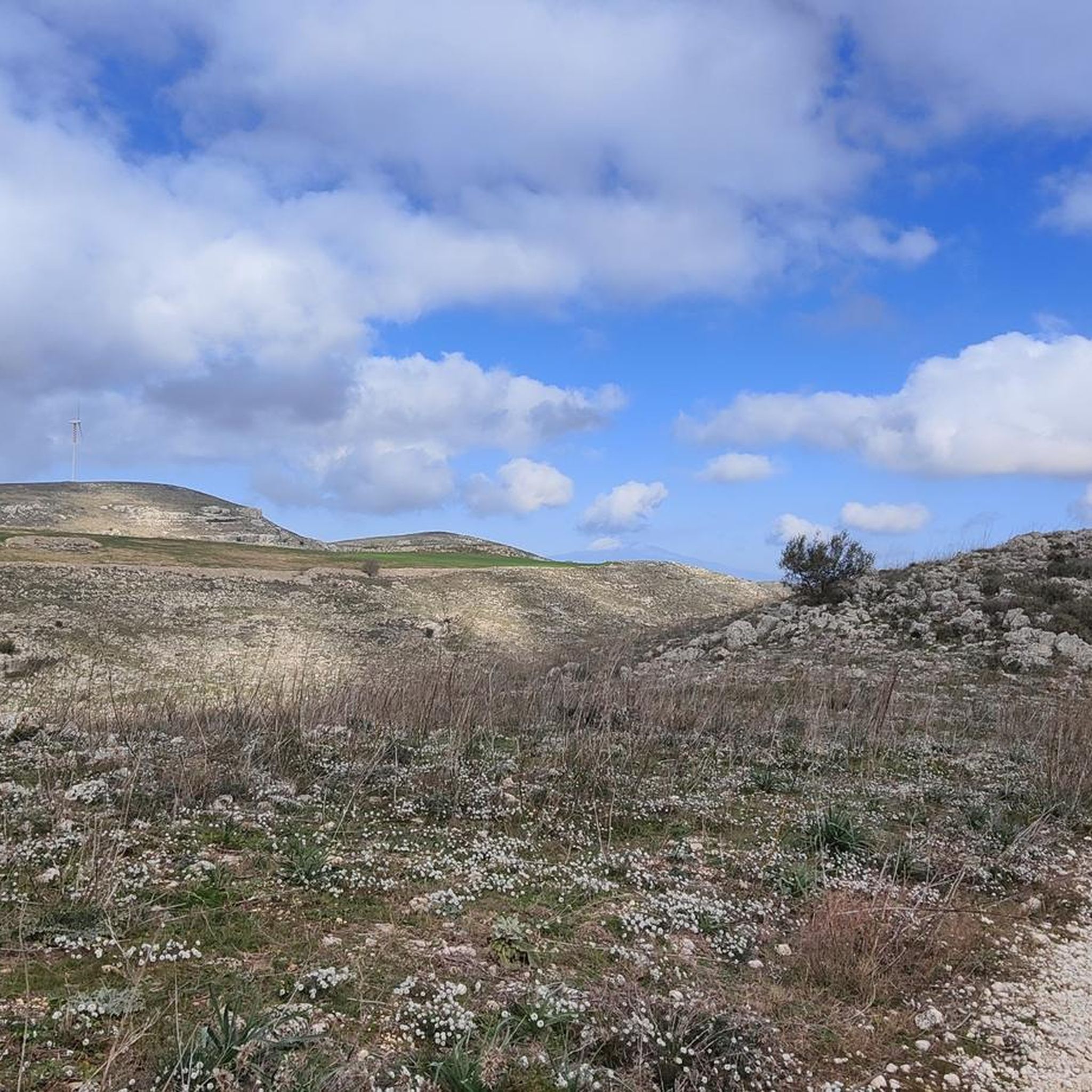
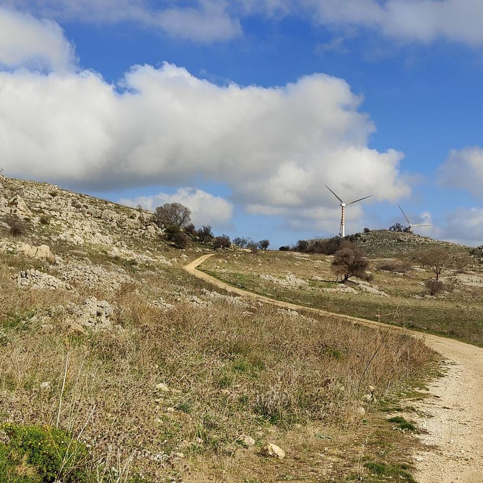
Tips from the Community

We really enjoyed this walk in a pretty flowery setting in April. Numerous passages in front of tombs in the necropolis, with a wider view of the necropolis at point 9. Note: 1) The detour around the Galleria bisanti tunnel between points 1 and 3 is chaotic. 2) At the end of the circuit between points 10 and 11, crossing the river with your feet in the water is not guaranteed depending on the season. We did it in early April and had water up to our thighs. Locate the ford at the beginning of the circuit towards point 1 or 2 to check the water level and decide whether or not to continue your circuit.
0
0

There is a bus stop, which brings you to the top of the trail, de decent is very comfortable and in the canyon , which the locals use as outdoor pool, you can enjoy some light canyoning
1
0

A good place for a picnic. There are tables and benches.
0
0
The path to the left is very beautiful, varied and sporty.
1
0

Here is stop number 1 for the shuttle bus from the main entrance of Ferla.
2
0
only about 10 minutes from the road. relatively easy and well signposted
1
0
easy hiking trail to the viewpoint.
0
0

Be on time for long walks
1
0
Frequently Asked Questions
How many hiking trails are available around Carlentini?
Carlentini offers a diverse network of over 35 hiking routes. These trails cater to various skill levels, with 10 easy, 18 moderate, and 11 difficult options to explore.
Are there easy hiking options suitable for beginners or casual walkers?
Yes, Carlentini has 10 easy hiking routes. These trails are generally shorter and have less elevation gain, making them perfect for beginners or those looking for a relaxed stroll. Many of these easy paths can be found exploring the rural landscapes surrounding the towns.
What kind of terrain can I expect on hikes around Carlentini?
The hiking trails around Carlentini feature diverse terrain, including ancient necropolises, river valleys like the Anapo, and rural landscapes. You'll encounter varied elevations, from gentle paths to more challenging ascents, often winding through historical sites and unique rock formations.
Are there any circular hiking routes in the Carlentini area?
Yes, many routes around Carlentini are designed as loops, allowing you to start and finish at the same point. For example, the Pantalica Rock Tunnel – Pantalica Necropolis loop from Pantalica - Necropoli di Nord-Ovest is a moderate 7 km circular trail that explores the ancient necropolis.
What are some notable natural attractions or landmarks to see while hiking?
Hikers can discover several significant natural and historical attractions. The Pantalica Necropolis, with its ancient rock-cut tombs, is a major highlight. You can also explore the scenic Anapo Valley and the Calcinara Stream, which offer beautiful riverine landscapes and opportunities for exploration.
Are there any family-friendly hiking trails near Carlentini?
While many trails in the region can be challenging, there are easier options suitable for families. Look for the 10 easy-rated routes, which typically feature shorter distances and gentler gradients, making them more accessible for children. The areas around the Anapo River often have flatter sections ideal for family walks.
Can I bring my dog on the hiking trails around Carlentini?
Generally, dogs are welcome on many hiking trails in the Carlentini area, especially in the more open rural and natural landscapes. However, it's always advisable to keep them on a leash, particularly in protected areas or near historical sites like the Pantalica Necropolis, and to check local regulations for specific trails.
What is the best time of year to go hiking in Carlentini?
The best time for hiking in Carlentini is typically during the spring (April to June) and autumn (September to November). During these seasons, the weather is milder, with pleasant temperatures and less intense heat than the summer months, making for more comfortable hiking conditions. Spring also brings blooming wildflowers, while autumn offers beautiful foliage.
Are there opportunities for wild swimming along hiking routes?
The Anapo River and Calcinara Stream, which are prominent features in the region's hiking landscape, offer potential spots for wild swimming. While specific designated swimming areas may vary, many hikers enjoy cooling off in the natural pools found along these waterways, especially during warmer months. Always exercise caution and check water conditions.
What do other hikers enjoy most about the trails in Carlentini?
The trails around Carlentini are highly rated by the komoot community, with an average score of 4.7 stars from over 900 reviews. Hikers frequently praise the unique blend of natural beauty and historical significance, particularly the ancient necropolises and the stunning river valleys. The diverse terrain and well-maintained paths also receive positive feedback.
Where can I find parking for hiking trails near Carlentini?
Parking is generally available at or near the starting points of many popular trails, especially those leading to significant attractions like the Pantalica Necropolis. In smaller towns and villages that serve as trailheads, you can often find street parking or small designated areas. It's recommended to check specific route details for parking information before your hike.
Are there any challenging long-distance hikes in the region?
Yes, Carlentini offers several challenging long-distance hikes for experienced trekkers. Routes like the Ferla, Buscemi, and Cassaro Loop (26.1 km) and the Pedagaggi-Anapo-Ferla Loop (25.5 km) are difficult-rated trails that connect multiple towns and explore extensive rural and valley landscapes, often requiring a full day to complete.
Most popular attractions around Carlentini

Get inspired with the komoot mobile app


Explore more
Browse the best Hikes in other regions.
