The best walks and hikes around Câdesédda/Calasetta
4.4
(256)
1,080
hikers
25
hikes
Hiking around Câdesédda/Calasetta offers diverse landscapes on the island of Sant'Antioco, characterized by a varied coastline and inland hills. The region features dramatic volcanic rock cliffs, white sand beaches, and Mediterranean scrub. Inland areas present hilly terrain with ancient vineyards and wild vegetation.
Best hiking trails around Câdesédda/Calasetta
- The most popular hiking route is Cala Grotta from Cala Lunga, a 6.1 miles (9.8 km) trail that takes 2 hours 40 minutes to complete. This moderate route follows the coastline, offering views of the sea and rock formations.
- Another top favourite among local hikers is Calasetta — Ring tour, an easy 2.9 miles (4.7 km) path. This route explores the town's surroundings and coastal areas, suitable for a relaxed walk.
- Local hikers also love the Cala Grotta – Cala Sapone loop from Câdesédda/Calasetta, a 4.1 miles (6.6 km) trail leading through coastal landscapes and coves, often completed in about 1 hour 50 minutes.
- Hiking around Câdesédda/Calasetta is defined by volcanic rock cliffs, sandy beaches, and Mediterranean scrub. The network offers options for different ability levels, from easy coastal strolls to moderate treks.
- The routes in Câdesédda/Calasetta are highly rated by the komoot community with an average score of 4.4 stars from over 200 reviews. More than 900 hikers have used komoot to explore Câdesédda/Calasetta's varied terrain.
Last updated: June 23, 2026
4.3
(10)
26
hikers
9.83km
02:40
140m
140m
Moderate hike. Good fitness required. Easily-accessible paths. Suitable for all skill levels.
4.5
(2)
5
hikers
4.66km
01:14
40m
50m
Easy hike. Great for any fitness level. Easily-accessible paths. Suitable for all skill levels.

Sign up for free
4.3
(29)
119
hikers
6.73km
01:53
130m
130m
Easy hike. Great for any fitness level. Easily-accessible paths. Suitable for all skill levels.
4.9
(7)
28
hikers
9.49km
02:29
70m
70m
Moderate hike. Good fitness required. Easily-accessible paths. Suitable for all skill levels.
4.7
(3)
16
hikers
Moderate hike. Good fitness required. Easily-accessible paths. Suitable for all skill levels.
Get access to more routes and recommendations from other explorers.
Sign up for free
Already have an account?
Our route recommendations are based on thousands of hikes, rides, and runs completed by other people on komoot.
Start today with a free account
Your next adventure awaits.
Login or Signup
Popular around Câdesédda/Calasetta
Portoscuso to Cagliari on the Via del Martirio – Cammino 100 Torri
Ciclovia del Cammino Minerario di Santa Barbara
Cycling around Câdesédda/Calasetta
MTB Trails around Câdesédda/Calasetta
Road Cycling Routes around Câdesédda/Calasetta
Running Trails around Câdesédda/Calasetta

Gravel biking around Câdesédda/Calasetta


Tips from the Community

Parking fees only have to be paid from June 15th
0
0

There are many interpretations of the name. Some trace its origin to the Campidanese-Sardinian contraction of Cala de Seda, or Cal'e Seda, or also Cala Seda, or Cal'e Sera, or "silk cove". In fact, in the Campidanese-Sardinian language, seda or sera means "silk", because the sea of the Sulcis archipelago was apparently rich in particular mollusks from which "sea silk" was obtained, that is, a type of "natural sea silk" obtained from the threads secreted by a species of marine bivalve mollusk endemic to the Mediterranean (Pinna nobilis), commonly known as "castanets" or "feather mice" (Pinnae margaritiferae). The threads obtained from their interior were used for weaving byssus.
5
0

Cala Lunga, a beautiful bay sheltered from the winds
0
0


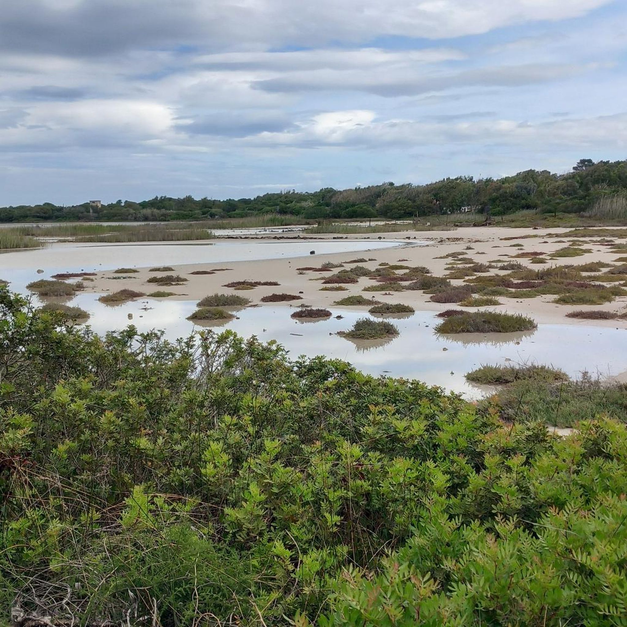
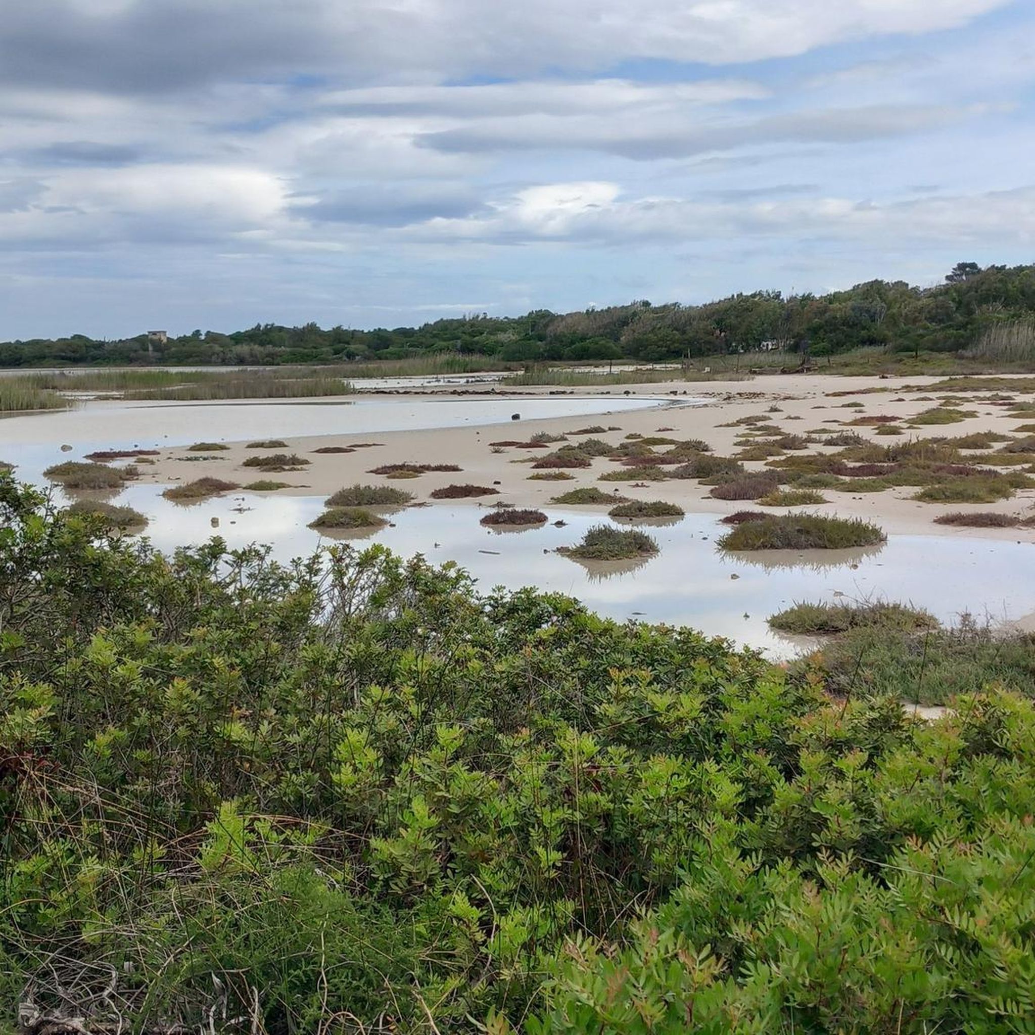
Wonderfully idyllic Stagno behind the beach
0
0
Beautiful sandy beach with turquoise sea, unfortunately often very windy.
0
0
Here you have a great view of the rocky coast.
0
0
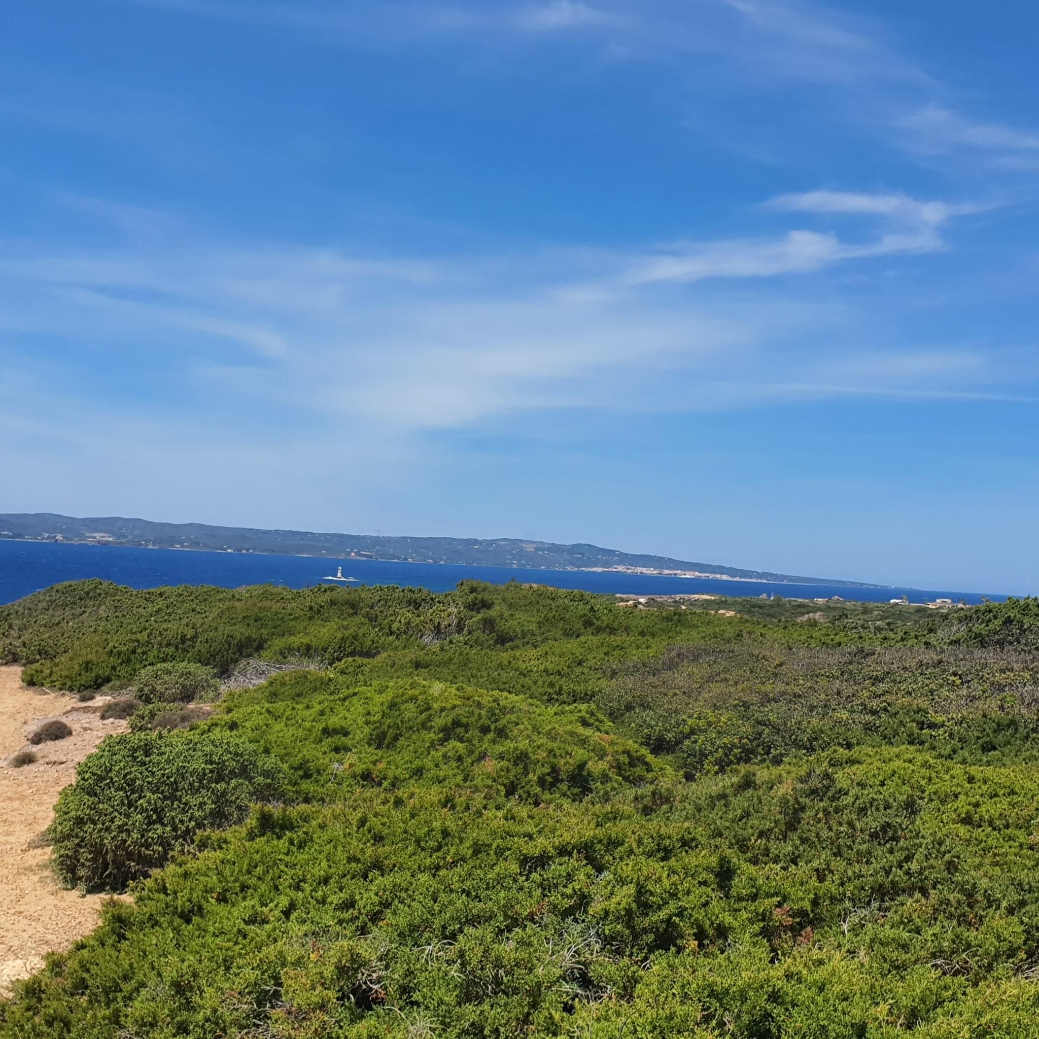
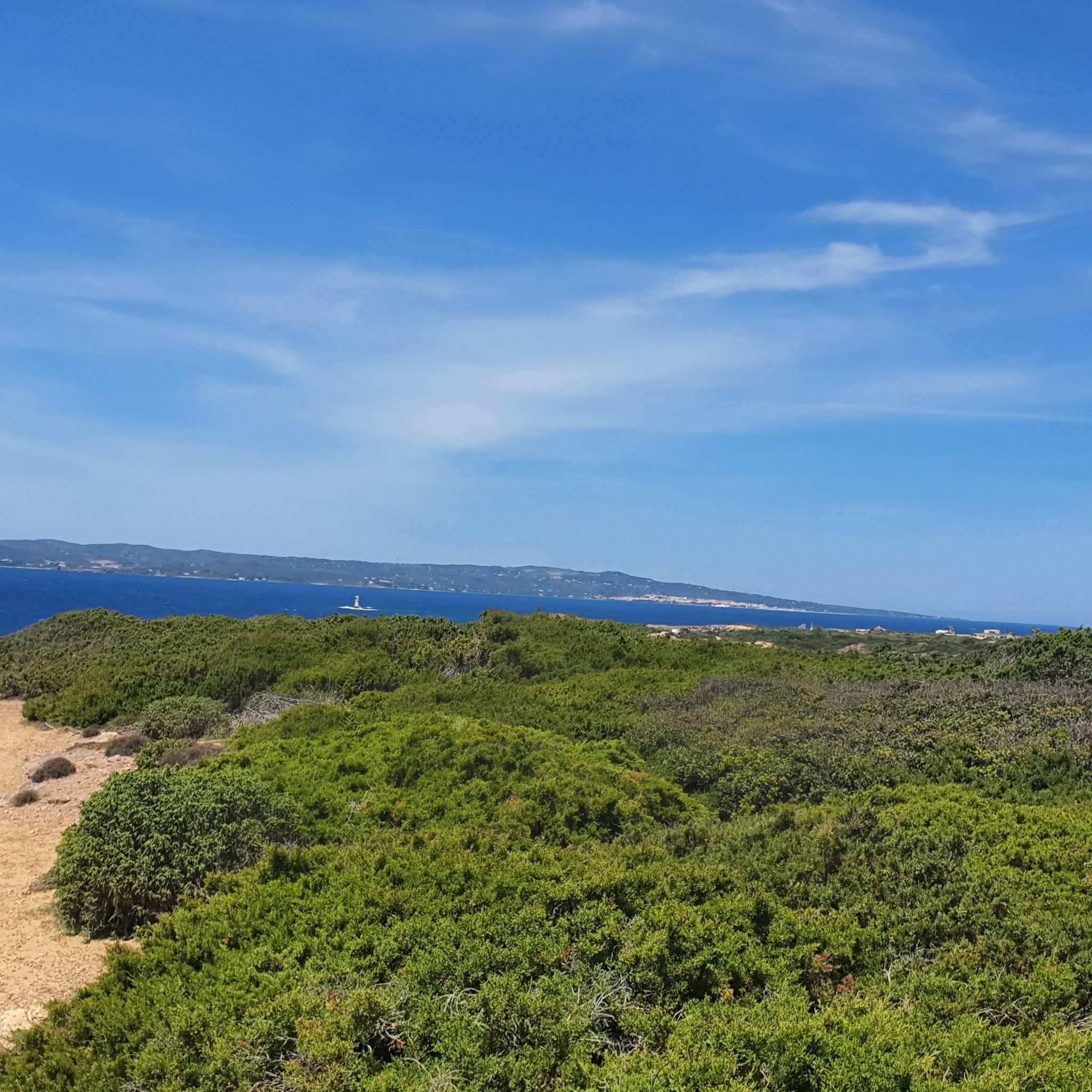
Here you have a nice view of the small lighthouse in the sea. Very cute.
0
0
Frequently Asked Questions
What kind of terrain can I expect on hiking trails around Câdesédda/Calasetta?
The hiking trails in Câdesédda/Calasetta offer a diverse landscape. You'll find dramatic coastal paths along volcanic rock cliffs, leading to pristine white sand beaches. Inland, the routes traverse hilly terrain with ancient vineyards and wild Mediterranean scrub, providing a rich variety of scenery for your hike.
Are there any easy circular walks suitable for a relaxed stroll?
Yes, there are several easy circular routes. For a relaxed walk exploring the town's surroundings and coastal areas, consider the Calasetta — Ring tour, which is an easy 4.7 km path. Another option is the Cala Grotta – Cala Sapone loop from Câdesédda/Calasetta, an easy 6.6 km trail through coastal landscapes and coves.
What are the best times of year to go hiking in Câdesédda/Calasetta?
Câdesédda/Calasetta enjoys a mild climate, making it an ideal destination for hiking year-round. However, for the most comfortable experience, spring (April-May) and autumn (September-October) offer pleasant temperatures and vibrant natural scenery. Summers can be hot, so early morning or late afternoon hikes are recommended during those months.
Are there any family-friendly hiking trails in the area?
Many of the easy trails around Câdesédda/Calasetta are suitable for families. The Calasetta — Ring tour is a great option, being an easy 4.7 km path that explores the town's surroundings and coastal areas, perfect for a leisurely family outing.
What natural landmarks or viewpoints can I see while hiking?
The region is rich in natural beauty. You can encounter dramatic volcanic rock cliffs, stunning beaches like Spiaggia Grande and Cala Lunga, and unique natural pools such as the Piscina Naturale di Punta Caragoli. Don't miss the Cliffs of Calasetta for breathtaking views, or the iconic Faro di Mangiabarche lighthouse, considered one of the most beautiful in the world.
Are there any sea caves or interesting rock formations to explore?
Yes, the coastline features intriguing sea caves and rock formations. You can explore natural swimming spots like Cala Tuffi and the Cala Grotta. For the more adventurous, sea caves like Grotta delle Sirene and Grotta della Mezzaluna can be explored by sea, offering unique perspectives of the coastline.
What do other hikers say about the trails in Câdesédda/Calasetta?
The hiking routes in Câdesédda/Calasetta are highly rated by the komoot community, with an average score of 4.4 stars from over 200 reviews. Hikers often praise the diverse coastal and inland scenery, the well-maintained paths, and the stunning viewpoints, particularly the dramatic volcanic cliffs and beautiful beaches.
Are there any dog-friendly hiking trails in Câdesédda/Calasetta?
Many trails in Câdesédda/Calasetta are suitable for dogs, especially those that traverse the natural landscapes away from crowded beaches. It's always recommended to keep dogs on a leash, especially in areas with wildlife or near cliffs, and to carry water for them. Specific regulations may apply to certain protected areas or beaches, so check local signage.
How many hiking trails are available in Câdesédda/Calasetta?
There are over 20 hiking trails available in Câdesédda/Calasetta, catering to various fitness levels. This includes 11 easy routes, 10 moderate routes, and 1 more challenging trail, ensuring options for everyone from casual walkers to experienced hikers.
Are there any hikes that offer views of the historic town or old structures?
Yes, some routes combine natural beauty with glimpses of the town's history. The Sottotorre Beach – Calasetta Old Town and Cliffs loop from Spiaggia Grande is a moderate 9 km trail that allows you to explore the coastal cliffs while also passing through parts of Calasetta's historic areas.
Where can I find parking for popular trailheads?
Parking is generally available near popular trailheads and beaches. For routes like the Cala Grotta from Cala Lunga, you can often find parking facilities near Cala Lunga. For trails starting closer to the town, such as the Calasetta — Ring tour, parking can be found within or on the outskirts of Calasetta itself.
Are there opportunities for wild swimming along the hiking routes?
Absolutely. The region is known for its crystal-clear waters and natural swimming spots. Along coastal hikes, you might discover hidden coves and natural pools like the Piscina Naturale di Punta Caragoli, nestled among volcanic rocks, or Cala Tuffi, offering refreshing dips in pristine waters.
Can I observe wildlife or birds while hiking in Câdesédda/Calasetta?
Yes, the diverse natural environment provides opportunities for wildlife observation. Near Le Saline beach, there's an adjacent pond where you can observe pink flamingos and other migratory birds. The Mediterranean scrub and coastal areas also host various local bird species and small wildlife.
Most popular routes around Câdesédda/Calasetta
Most popular attractions around Câdesédda/Calasetta

Get inspired with the komoot mobile app


Explore more
Browse the best Hikes in other regions.
