The best walks and hikes around St. Lorenzen
4.7
(1597)
10,070
hikers
23
hikes
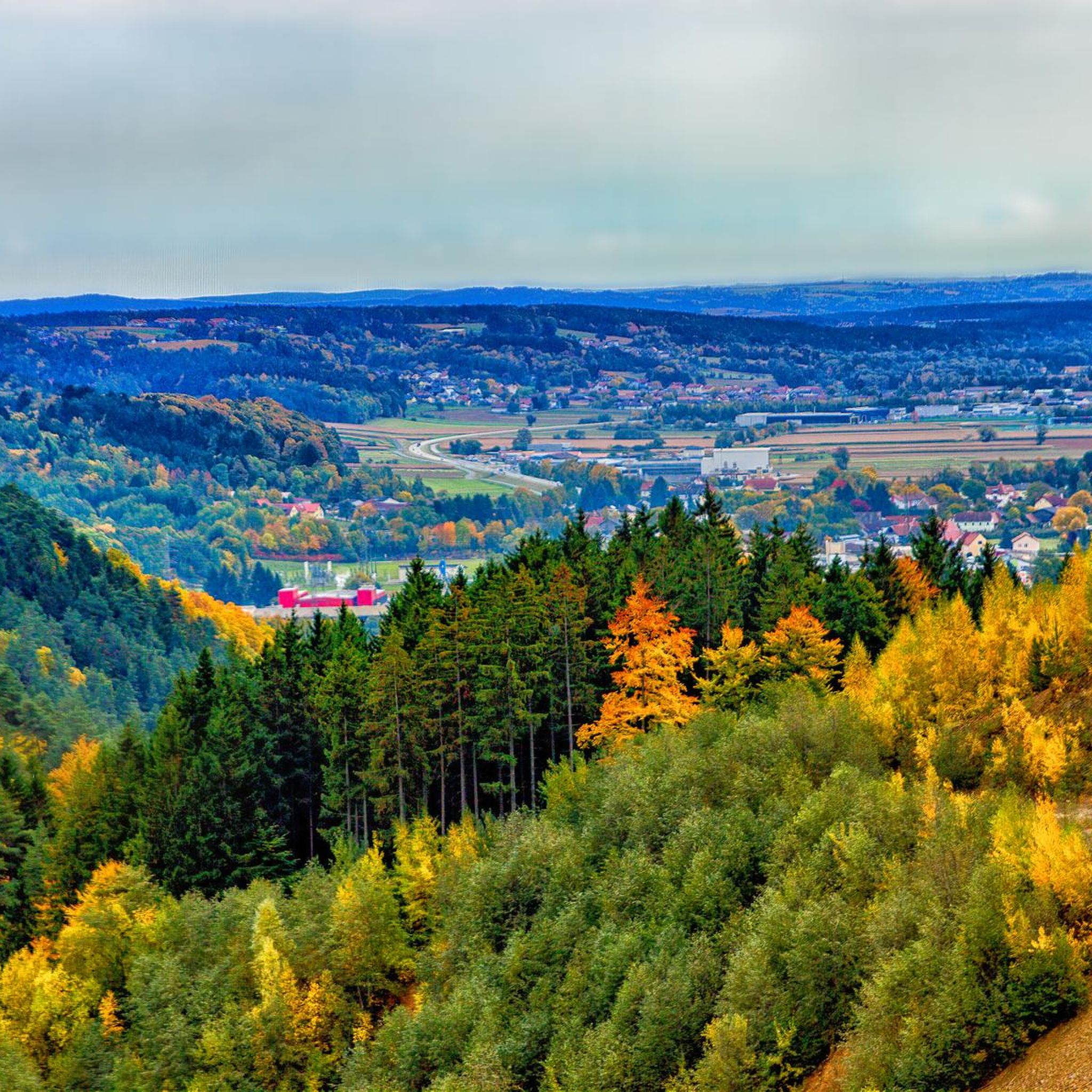
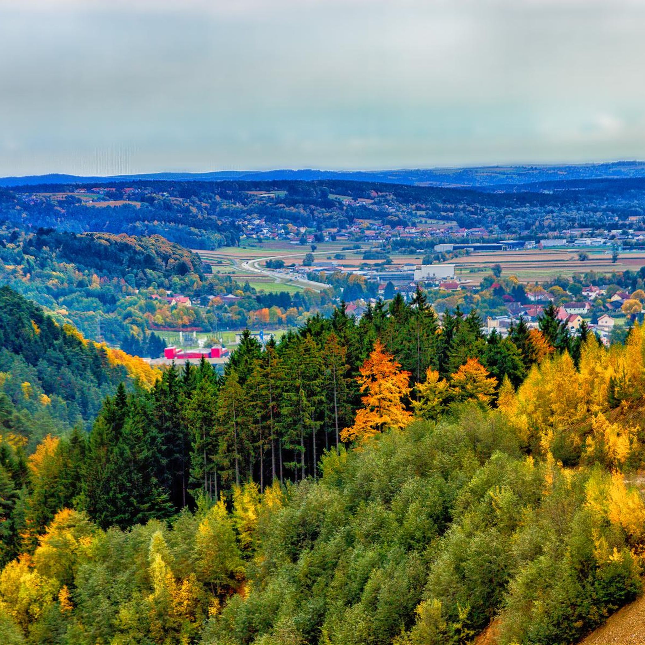
Hiking around St. Lorenzen offers a diverse range of trails, characterized by its position within a varied landscape. The region features rolling hills and forested areas, with routes often leading through woodlands and open terrain. Hikers can expect paths with moderate elevation changes, providing opportunities to explore the natural environment. The area's trails connect various points of interest, suitable for different hiking preferences.
Best hiking trails around St. Lorenzen
- The most popular hiking route is Hochwechsel – Chapel at the…
Last updated: July 4, 2026
4.0
(6)
34
hikers
8.54km
02:35
270m
270m
Moderate hike. Good fitness required. Easily-accessible paths. Suitable for all skill levels.
5.0
(3)
33
hikers
8.00km
02:30
310m
310m
Moderate hike. Good fitness required. Easily-accessible paths. Suitable for all skill levels.

Sign up for free
22
hikers
13.4km
03:50
320m
320m
Moderate hike. Good fitness required. Easily-accessible paths. Suitable for all skill levels.
5.0
(3)
17
hikers
13.5km
04:28
650m
650m
Moderate hike. Good fitness required. Easily-accessible paths. Suitable for all skill levels.
5.0
(2)
13
hikers
21.5km
06:59
970m
970m
Hard hike. Very good fitness required. Easily-accessible paths. Suitable for all skill levels.
Get access to more routes and recommendations from other explorers.
Sign up for free
Already have an account?
Our route recommendations are based on thousands of hikes, rides, and runs completed by other people on komoot.
Start today with a free account
Your next adventure awaits.
Login or Signup

Tips from the Community

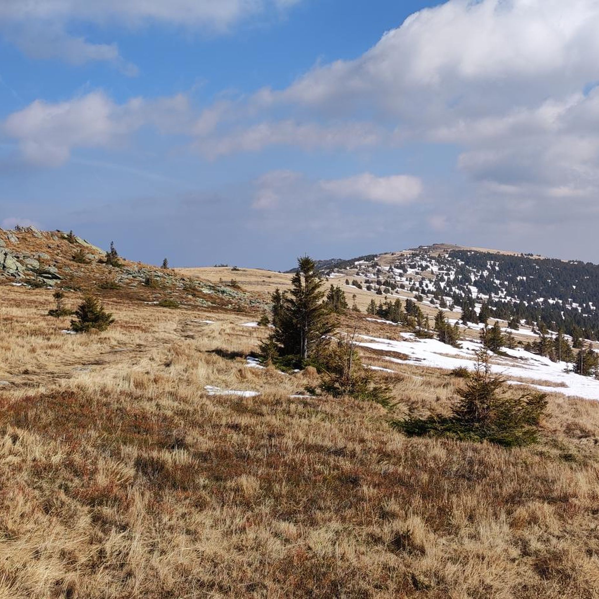
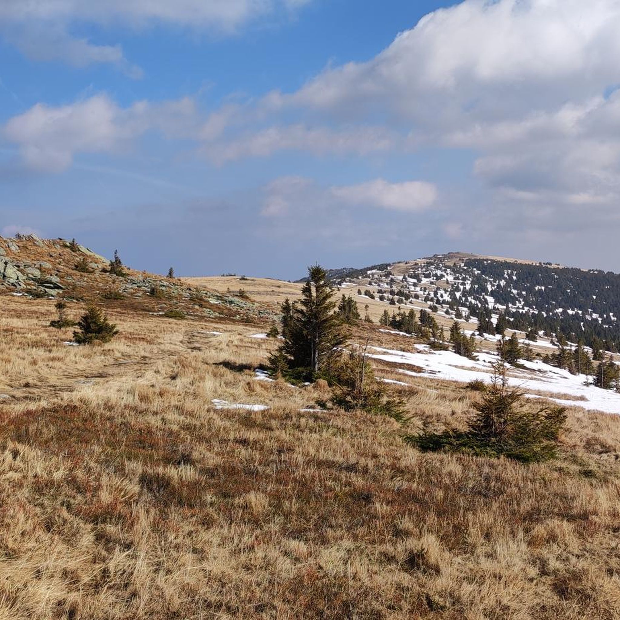
The mountain ridge of the Wechsel stretches for over 15 km - the eastern Austrian low mountain range on the border between Lower Austria and Styria 🌲 Its three most lofty peaks each rise over 1,700 m ⛰️ Thanks to its mountain landscapes, which range from lovely to challenging, the Wechsel is considered a hiking destination for families on the one hand - and a local recreation area for experienced hikers and climbers on the other 🥾 The Hochwechsel, as the highest peak, offers particularly worthwhile views: the panoramic view stretches from Semmering and Rax to the Schneeberg 🌄 In good weather, even Burgenland, Styria, Hungary and Slovenia can be seen 😎 From mid-May to mid-November, a wonderful rest in the Wetterkoglerhaus is also tempting 🧃 www.wieneralpen.at/ausflugsziel-in-den-wiener-alpen-entdecken/a-hochwechsel-im-wechselgebirge
10
0
The Hochwechsel summit not only offers an impressive panoramic view of the surrounding landscape of Styria and Lower Austria, but is also known for its picturesque chapel, which invites visitors to reflect and relax 🌄 Inside, the chapel surprises with colorful paintings, coats of arms and inscriptions that are painted directly onto the wood of the dome and reach all the way to the top ⛪ Source www.steiermark.com/de/Oststeiermark/Urlaub-planen/Ausflugsziele/Hochwechsel-Gipfel_isd_42403458
9
0
Altitude 📕 1743 m Rooms/beds 📗 9 Mattresses 📘 26 Winter room 📙 The winter room is not locked (3 places, heated). 3 places, electric fan heater with coin slot, no cooking facilities. Emergency room 📓 The emergency room is unlocked. Is the same as the winter room. www.alpenverein.at/wetterkoglerhaus
8
0
The mountain ridge of the Wechsel stretches for over 15 km - the eastern Austrian low mountain range on the border between Lower Austria and Styria 🌲 Its three most lofty peaks each rise over 1,700 m ⛰️ Thanks to its mountain landscapes, which range from lovely to challenging, the Wechsel is considered a hiking destination for families on the one hand - and a local recreation area for experienced hikers and climbers on the other 🥾 The Hochwechsel, as the highest peak, offers particularly worthwhile views: the panoramic view stretches from Semmering and Rax to the Schneeberg 🌄 In good weather, even Burgenland, Styria, Hungary and Slovenia can be seen 😎 From mid-May to mid-November, a wonderful rest in the Wetterkoglerhaus is also tempting 🧃 www.wieneralpen.at/ausflugsziel-in-den-wiener-alpen-entdecken/a-hochwechsel-im-wechselgebirge
9
0
The mountain ridge of the Wechsel stretches for over 15 km - the eastern Austrian low mountain range on the border between Lower Austria and Styria 🌲 Its three most lofty peaks each rise over 1,700 m ⛰️ Thanks to its mountain landscapes, which range from lovely to challenging, the Wechsel is considered a hiking destination for families on the one hand - and a local recreation area for experienced hikers and climbers on the other 🥾 The Hochwechsel, as the highest peak, offers particularly worthwhile views: the panoramic view stretches from Semmering and Rax to the Schneeberg 🌄 In good weather, even Burgenland, Styria, Hungary and Slovenia can be seen 😎 From mid-May to mid-November, a wonderful rest in the Wetterkoglerhaus is also tempting 🧃 https://www.wieneralpen.at/ausflugsziel-in-den-wiener-alpen-entdecken/a-hochwechsel-im-wechselgebirge
8
0
Altitude 📕 1743 m Rooms/beds 📗 9 Mattresses 📘 26 Winter room 📙 The winter room is not locked (3 places, heated). 3 places, electric fan heater with coin slot, no cooking facilities. Emergency room 📓 The emergency room is unlocked. Is the same as the winter room. www.alpenverein.at/wetterkoglerhaus
8
0
The Hochwechsel summit not only offers an impressive panoramic view of the surrounding landscape of Styria and Lower Austria, but is also known for its picturesque chapel, which invites visitors to reflect and relax 🌄 Inside, the chapel surprises with colorful paintings, coats of arms and inscriptions that are painted directly onto the wood of the dome and reach all the way to the top ⛪ Source https://www.steiermark.com/de/Oststeiermark/Urlaub-planen/Ausflugsziele/Hochwechsel-Gipfel_isd_42403458
7
0
Straight ahead 🧭 Hochwechsel Vorauer Schwaig Back 🧭 Rabl Kreuz Hütte Right 🧭 Mönichwald
6
0
Frequently Asked Questions
How many hiking trails are available in St. Lorenzen?
St. Lorenzen offers a wide variety of hiking experiences, with over 20 trails listed in komoot, catering to different skill levels. You'll find everything from gentle strolls to more demanding alpine expeditions.
What kind of terrain can I expect on hikes around St. Lorenzen?
The terrain around St. Lorenzen is quite diverse. You can expect a mix of scenic Puster Valley meadows, extensive forests, and paths with moderate elevation changes. Many routes lead through woodlands and open alpine pastures, offering varied landscapes and views of the majestic Dolomites.
What do other hikers say about the trails in St. Lorenzen?
The hiking trails in St. Lorenzen are highly rated by the komoot community, with an impressive average score of 4.6 stars from over 1,500 reviews. Hikers often praise the varied terrain, the stunning panoramic views, and the well-maintained paths that connect various points of interest.
Are there any easy hikes suitable for beginners in St. Lorenzen?
Yes, St. Lorenzen offers several easy trails perfect for beginners or those looking for a relaxed walk. These routes typically feature gentle gradients and shorter distances. For example, the trails around Issengo Pond are particularly pleasant in spring and autumn, offering comfortable temperatures and vibrant seasonal foliage.
Are there any challenging hikes for experienced trekkers?
Absolutely. For experienced trekkers, St. Lorenzen serves as a gateway to more demanding alpine expeditions in the Dolomites. Routes leading up to Kronplatz Mountain offer significant elevation gain and reward hikers with breathtaking panoramic views. The Alpine Loop from Onach to Glittner Lakes via Lüsner Joch is another challenging option, guiding adventurers through diverse alpine terrain.
Are there any trails with waterfalls nearby?
Yes, the region around St. Lorenzen features several beautiful waterfalls. You can explore trails that lead to natural spectacles like the Marienseer Waterfall, the Wechselgraben Waterfall, or the Romai Waterfall. These offer refreshing stops and picturesque scenery.
Can I find circular hiking routes in St. Lorenzen?
Many of the trails in St. Lorenzen are designed as circular routes, allowing you to start and end at the same point. A popular moderate loop is the Hochwechsel – Chapel at the Hochwechsel summit loop from Hochwechsel, which takes about 2 hours 35 minutes. Another great option is the Trahüttenalm – Vorauer Schwaig Alm loop from Glatzl Trahütten, exploring alpine pastures.
What are some notable natural features or landmarks to look out for?
Beyond the majestic Dolomites, you can discover unique natural features like the serene Glittnersee, a lake beautifully reflecting the surrounding mountains, or the distinctive Platten Earth Pyramids near Percha. The region is also at the confluence of the Rienz and Gader rivers, offering pleasant riverside walks.
Are there historical sites or cultural attractions along the trails?
St. Lorenzen is rich in history. You can hike the Historic Pilgrimage Trail to Maria Saalen, which passes medieval castles and 17th-century shrines. The Archaeological Panorama Trail around Sonnenburger Kopf offers insights into the region's Roman heritage, complemented by the Mansio Sebatum archaeological museum. Don't miss Michelsburg Castle, a historically significant fortress in the Puster Valley.
What is the best time of year to go hiking in St. Lorenzen?
The Puster Valley offers excellent hiking opportunities throughout much of the year. Spring and autumn are particularly appealing for their mild temperatures and vibrant seasonal foliage, especially around Issengo Pond. Summer provides ideal conditions for higher alpine routes, while some trails may be suitable for winter hiking, though conditions should always be checked.
Are there family-friendly hiking options in St. Lorenzen?
Yes, St. Lorenzen has many trails suitable for families. These often include shorter distances, less challenging terrain, and points of interest that keep children engaged. The St. Lorenzen Legend Trail, for instance, combines easy walking with fascinating local stories, making it an enjoyable experience for all ages.
Are dogs allowed on the hiking trails in St. Lorenzen?
Generally, dogs are welcome on most hiking trails in St. Lorenzen and the surrounding Puster Valley. However, it's always advisable to keep them on a leash, especially in nature reserves, near livestock, or in crowded areas, and to carry waste bags. Always check local regulations for specific trails or protected areas.
How can I reach the trailheads using public transport?
St. Lorenzen is well-connected within the Puster Valley, and many trailheads are accessible via public transport. The local bus network serves various villages and starting points for hikes. The Puster Valley Cycle Path also runs through the village, offering connections. It's recommended to check the local bus schedules for specific routes and destinations.
Most popular routes around St. Lorenzen
Most popular attractions around St. Lorenzen

Get inspired with the komoot mobile app


Explore more
Browse the best Hikes in other regions.
