The best mountain hikes around St. Lorenzen
4.8
(4)
74
hikers
11
hikes
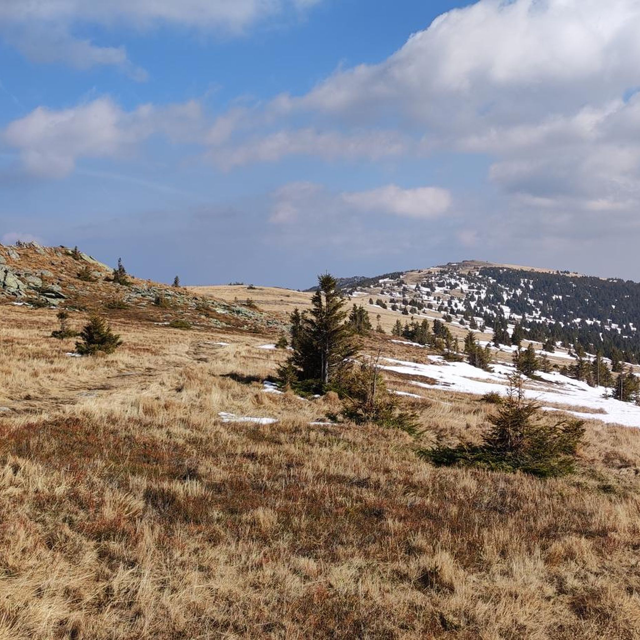
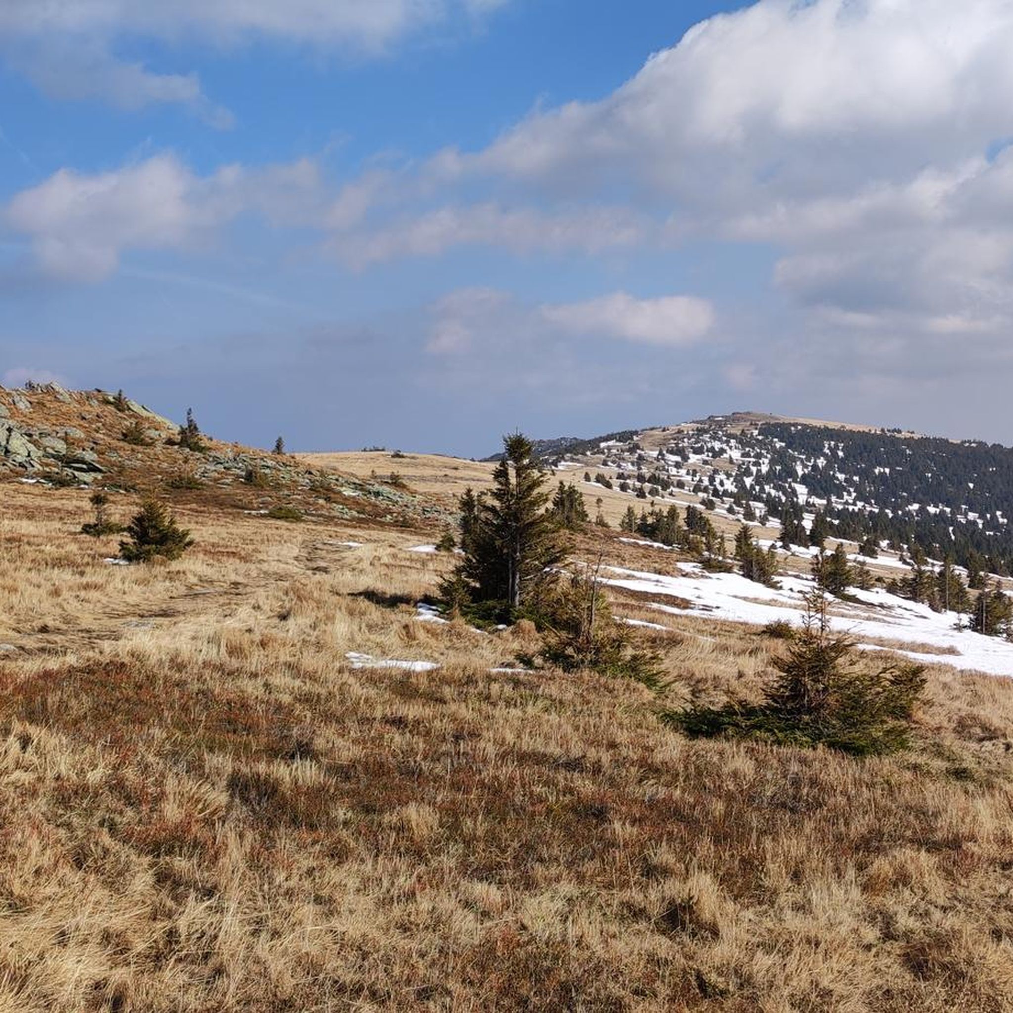
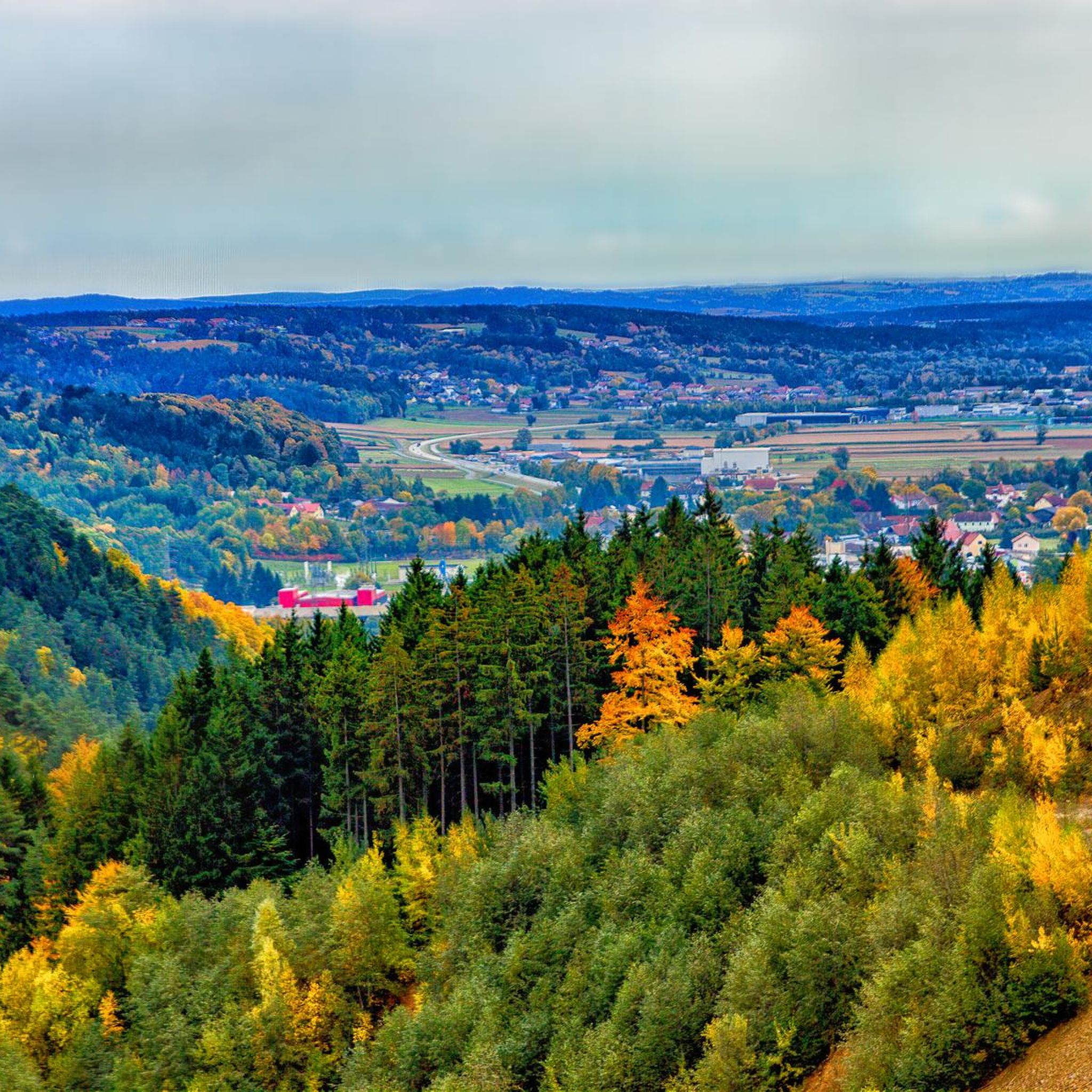
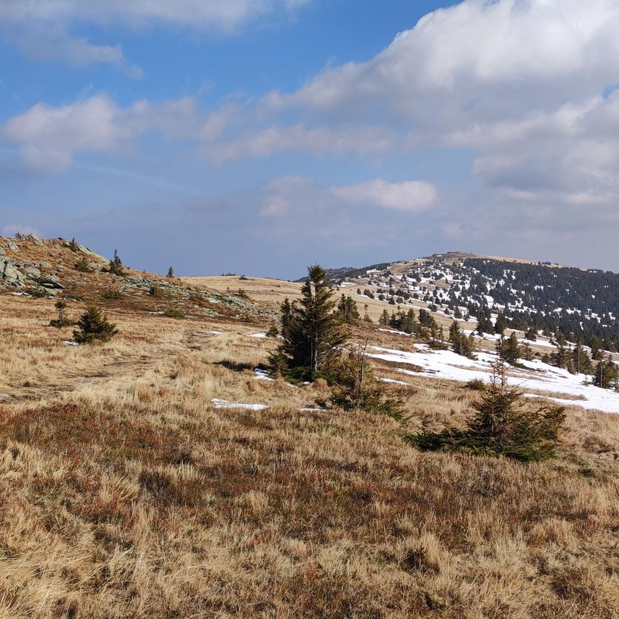
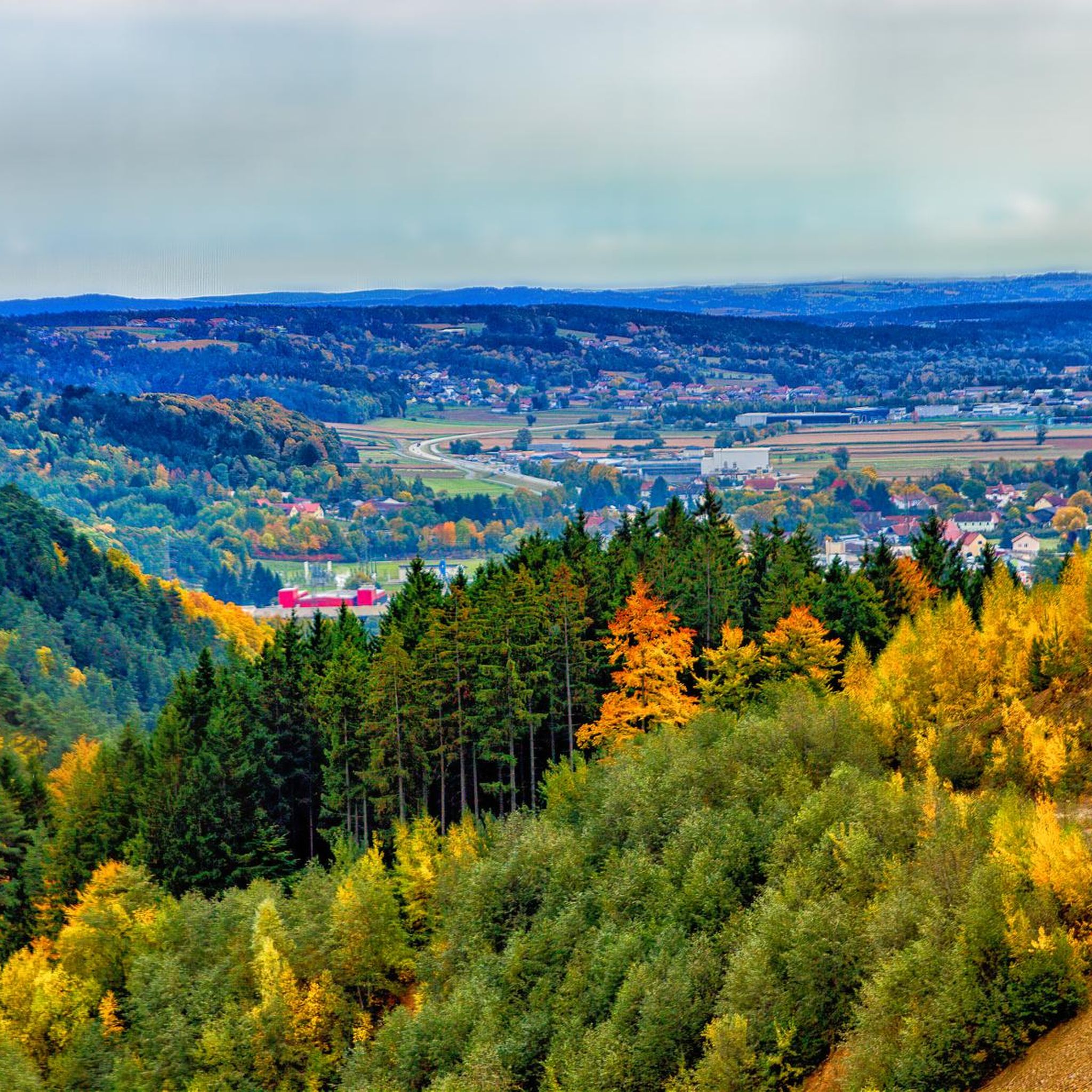
Mountaineering routes around St. Lorenzen traverse a landscape characterized by elevated terrain, often featuring forested slopes, open alpine meadows, and prominent summits. The region provides a variety of ascents, from moderate paths to more challenging climbs, leading to panoramic viewpoints. These routes frequently connect mountain lodges and chapels, offering distinct landmarks along the way.
Best mountaineering routes around St. Lorenzen
- The most popular mountaineering route is Hochwechsel Summit – Chapel on Hochwechsel loop from Katastralgemeinde Neustift am Alpenwald, a 7.0 miles (11.3 km) trail that takes 4 hours 33 minutes to complete. This moderate route leads to the Hochwechsel summit, featuring a chapel.
- Another top favourite among local mountaineers is Hallerhaus Mountain Lodge – Vorauer Schwaig Alm loop from Mönichkirchen, a difficult 14.0 miles (22.6 km) path. This route connects two notable alpine lodges, offering extensive mountain views.
- Local mountaineers also love the Trail Sign at Hochwechsel – Hochwechsel Trail Sign loop from Waldbach-Mönichwald, a 7.9 miles (12.7 km) trail leading through varied mountain terrain, often completed in about 4 hours 1 minute.
- Mountaineering around St. Lorenzen is defined by mountain summits, alpine lodges, and forested slopes. The network offers options for both moderate and difficult ability levels.
- The routes in St. Lorenzen are highly rated by the komoot community with an average score of 4.7 stars from over 3 reviews. More than 70 mountaineers have used komoot to explore St. Lorenzen's varied terrain.
Last updated: May 20, 2026
16
hikers
Moderate mountaineering route. Good fitness required. Mostly accessible paths. Sure-footedness required.
4.0
(1)
9
hikers
Moderate mountaineering route. Good fitness required. Mostly accessible paths. Sure-footedness required.

Sign up for free
11
hikers
22.6km
07:05
870m
870m
Hard mountaineering route. Very good fitness required. Easily-accessible paths. Suitable for all skill levels.
5.0
(1)
9
hikers
Moderate mountaineering route. Good fitness required. Easily-accessible paths. Suitable for all skill levels.
8
hikers
17.8km
05:24
590m
590m
Hard mountaineering route. Very good fitness required. Easily-accessible paths. Suitable for all skill levels.
Get access to more routes and recommendations from other explorers.
Sign up for free
Already have an account?
Our route recommendations are based on thousands of hikes, rides, and runs completed by other people on komoot.
Start today with a free account
Your next adventure awaits.
Login or Signup

Tips from the Community

The Sonnwendstein viewpoint offers the most beautiful panoramic view of the Semmering Pass and the Vienna Alps arc.
1
0

Beautiful location, good place to stop for a break, right next to the mountain bike trails and the start of the "Haller Trail".
0
0

A knife was stuck in front of the memorial stone. We used it for our own purposes and then returned it to the memorial stone for future visitors to this murder scene.
0
0

A super nice tour highly recommended
3
1
A super nice tour highly recommended
3
0
A super nice tour highly recommended
3
0

The Alpenhotel Enzian, with its own swimming pond, is the ideal starting point for varied mountain bike adventures. Nestled in the idyllic landscape of the Mönichkirchner Schwaig, you can enjoy a wonderful cycling holiday with your family. Access to the Wexl Trails and EuroVelo 9 is right on your doorstep. If you're looking for relaxation after your tour, you can find it in the hotel's wellness area with sauna or with a delicious dinner. Additional amenities such as a pick-up and drop-off service, luggage transport, an e-bike charging station, and a rich breakfast buffet round out the offer. More information and contact details for the accommodation can be found at https://www.wieneralpen.at/bett-und-bike-alpenhotel-enzian.
0
0
Frequently Asked Questions
How many mountaineering routes are available around St. Lorenzen?
There are 11 mountaineering routes around St. Lorenzen listed on komoot. These routes offer a mix of moderate and difficult options, catering to various skill levels.
What is the general difficulty level of mountaineering routes in St. Lorenzen?
The mountaineering routes in St. Lorenzen are primarily categorized as moderate or difficult. There are 5 moderate routes and 6 difficult routes, providing options for those seeking both challenging ascents and more accessible mountain experiences.
Are there any easy mountaineering routes suitable for beginners in St. Lorenzen?
While there are no routes explicitly classified as 'easy' in this selection, the 5 moderate routes can be suitable for beginners with a good level of fitness. For example, the Hochwechsel Summit – Chapel on Hochwechsel loop from Katastralgemeinde Neustift am Alpenwald is a moderate 7.0-mile route that offers a rewarding experience without extreme technical demands.
What do other mountaineers appreciate about the routes in St. Lorenzen?
The routes in St. Lorenzen are highly rated by the komoot community, with an average score of 4.7 stars from over 3 reviews. Mountaineers often praise the varied mountain terrain, the panoramic viewpoints, and the connection to notable alpine lodges and chapels along the way.
Are there circular mountaineering routes in St. Lorenzen?
Yes, many of the mountaineering routes around St. Lorenzen are designed as circular loops, allowing you to start and end at the same point. An example is the Trail Sign at Hochwechsel – Hochwechsel Trail Sign loop from Waldbach-Mönichwald, which covers 7.9 miles through diverse mountain landscapes.
What are some longer mountaineering routes for experienced hikers?
For experienced hikers looking for a longer challenge, the Hallerhaus Mountain Lodge – Vorauer Schwaig Alm loop from Mönichkirchen is a difficult 14.0-mile path connecting two significant alpine lodges with extensive mountain views. Another demanding option is the Wetterkogler House – Hochwechsel loop from Feistritzsattel, spanning nearly 18 miles.
What can I see along the mountaineering routes in St. Lorenzen?
The routes often lead to significant landmarks and natural features. You can expect to encounter prominent summits like the Chapel and summit cross on the Hochwechsel and the Großer Pfaff summit. Many trails also connect to mountain lodges such as the Hallerhaus Mountain Lodge and the Wetterkogler House, offering places to rest and enjoy the views.
What is the best time of year for mountaineering in St. Lorenzen?
The best time for mountaineering in St. Lorenzen is typically from late spring to early autumn (May to October). During these months, the weather is generally more stable, and the trails are free of snow, making for safer and more enjoyable conditions. Always check local weather forecasts before heading out.
Are the mountaineering routes around St. Lorenzen dog-friendly?
Most mountaineering routes in the St. Lorenzen region are dog-friendly, provided your dog is well-behaved and kept on a leash, especially in areas with livestock or wildlife. Always ensure your dog is fit enough for the chosen route and carry enough water for both of you.
Are there any family-friendly mountaineering routes in St. Lorenzen?
For families with older children or those accustomed to hiking, some of the moderate routes can be suitable. The Hochwechsel Summit – Chapel on Hochwechsel loop, for instance, offers a manageable distance and elevation gain for a family day out, culminating in a visit to the chapel at the summit.
Are there options for public transport to reach mountaineering trailheads in St. Lorenzen?
While specific public transport connections to every trailhead can vary, the St. Lorenzen region generally has bus services that connect to various villages and starting points for hikes. It's advisable to research local bus schedules for the specific trailhead you plan to access, as some routes might require a short walk from the nearest stop.
Are there any less crowded mountaineering trails in St. Lorenzen?
To find less crowded trails, consider exploring routes that are not the most popular or those that are slightly longer. The Wiener Alpen Viewpoint – Hallerhaus Mountain Lodge loop from Mönichkirchen, a difficult 10-mile route, might offer a more secluded experience compared to the more frequently visited summit trails, especially during off-peak hours or weekdays.
Most popular routes around St. Lorenzen
Most popular attractions around St. Lorenzen

Get inspired with the komoot mobile app


Explore more
Browse the best Mountain Hikes & Routes in other regions.
