The best road cycling routes around Rezzoaglio
4.3
(101)
1,892
riders
45
rides
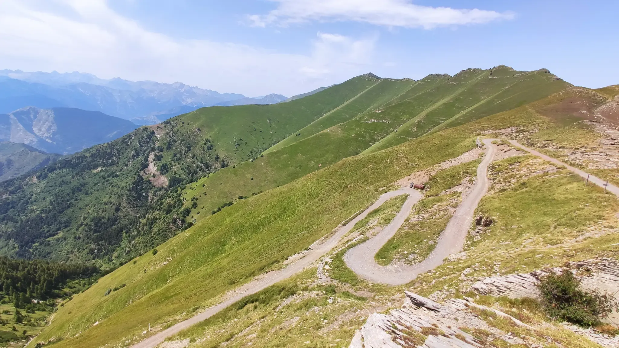
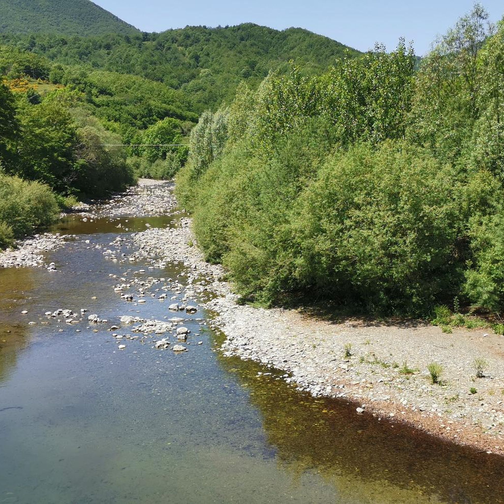
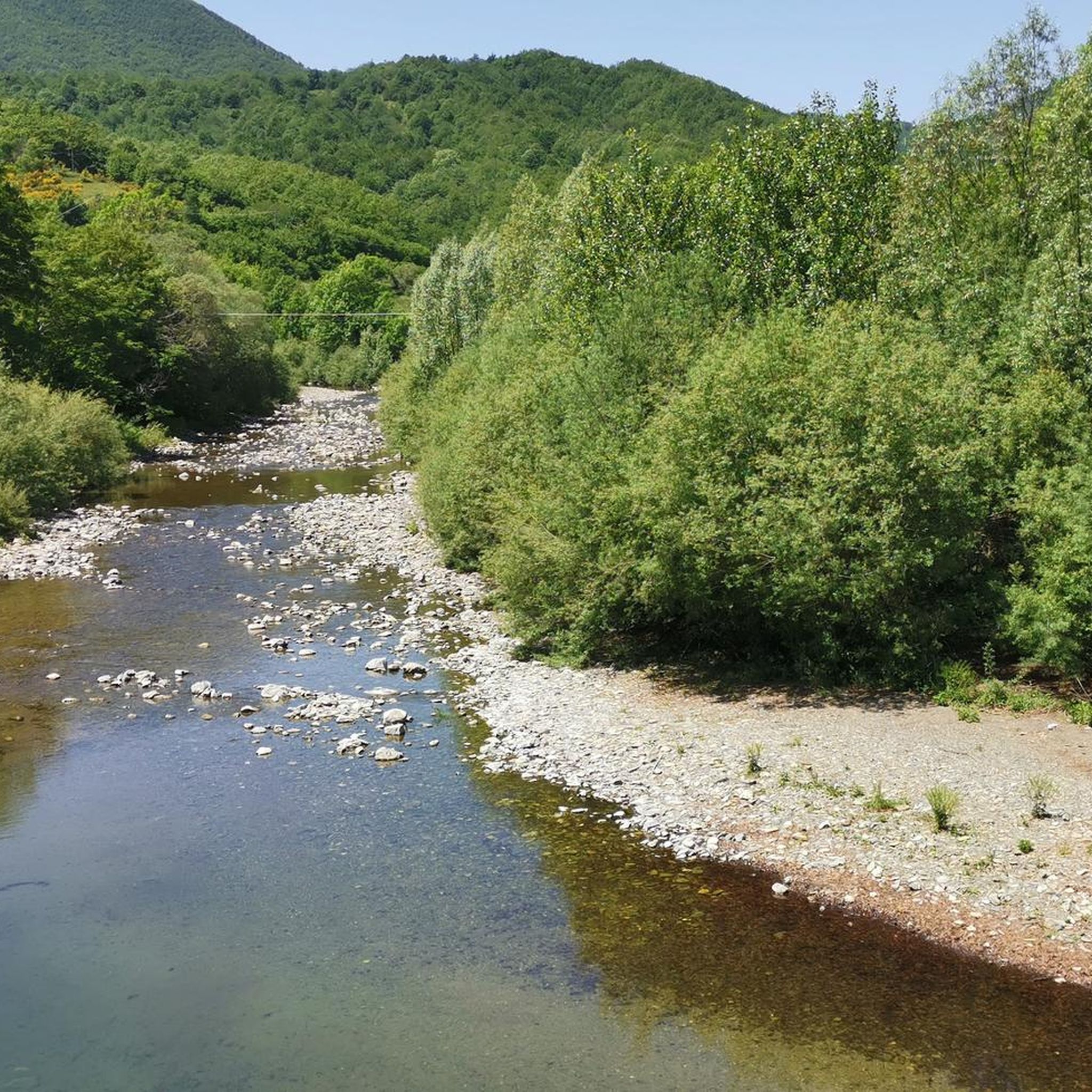
Road cycling around Rezzoaglio, nestled within the Ligurian Apennines, offers diverse landscapes for cyclists. The region is characterized by rugged mountains, narrow gorges, and expansive green meadows, shaped by the Aveto River. This mountainous terrain, with significant elevation changes, provides challenging routes for road cyclists. Glacial lakes like Lago delle Lame also contribute to the varied scenery.
Best road cycling routes around Rezzoaglio
- The most popular road cycling route is Passo della Scoglina – Forcella Pass loop from Rezzoaglio,…
Last updated: October 4, 2026
4.5
(26)
440
riders
92.6km
04:38
1,440m
1,440m
Hard road ride. Very good fitness required. Mostly well-paved surfaces and easy to ride.
97
riders
97.4km
05:05
1,750m
1,750m
Hard road ride. Very good fitness required. Mostly well-paved surfaces and easy to ride.

87
riders
91.4km
05:10
2,070m
2,070m
Hard road ride. Very good fitness required. Mostly well-paved surfaces and easy to ride.
4.7
(3)
41
riders
59.7km
03:26
1,320m
1,320m
Hard road ride. Very good fitness required. Mostly well-paved surfaces and easy to ride.
22
riders
46.2km
02:48
1,210m
1,210m
Hard road ride. Very good fitness required. Some segments of this route may be unpaved and difficult to ride.
Get access to more routes and recommendations from other explorers.
Already have an account?
Our route recommendations are based on thousands of hikes, rides, and runs completed by other people on komoot.
Start today with a free account
Your next adventure awaits.
Other adventures around Rezzoaglio

Tips from the Community

from Valle Sturla to Val d'Aveto
0
0

Pass of the Ligurian Apennines located at an altitude of 1,452 m, it is reachable by car and is a crossroads where various hiking trails branch off.
0
0
Born from the recovery of old barracks, it is a beautiful refuge where you can both eat and stay overnight. The location is stunning and makes it a must-stop when visiting these areas.
1
0
From here you can get everywhere!
0
0
..an infinite pleasure to quench your thirst here..
0
0


A beautiful village perched in the Ligurian Apennines. It's worth stopping to see the well-preserved walls of the Malaspina Fieschi Doria Castle, for an excellent coffee at Bar Leon D'oro, and especially for the "Gobeletti" pastries from the Chiesa pastry shop.
0
0
Frequently Asked Questions
How many road cycling routes are available around Rezzoaglio?
There are over 50 road cycling routes around Rezzoaglio, offering a wide range of options for different skill levels. The majority, about 37, are classified as difficult, with 17 moderate routes and at least one easy option for less experienced cyclists.
What is the best time of year for road cycling in Rezzoaglio?
The Ligurian Apennines, where Rezzoaglio is located, offer varied conditions. While specific weather data isn't provided, the region's mountainous terrain suggests that spring and autumn would likely offer the most pleasant temperatures for challenging rides, avoiding the peak heat of summer and potential snow in winter at higher elevations. Always check local weather forecasts before heading out.
What are the road conditions like for cycling in Rezzoaglio?
Road cycling in Rezzoaglio takes you through mountainous terrain with significant elevation changes. While generally rideable, some roads, particularly on descents, may have potholes, requiring cyclists to pay close attention. The region is known for its 'crisp hard road cycling on lonely Italian roads' with beautiful scenery.
Are there routes suitable for beginners or less experienced road cyclists?
While many routes in Rezzoaglio are challenging, there is at least one easy road cycling route available. For those looking for a less strenuous experience, it's advisable to check the route details on komoot for elevation profiles and distance to find the most suitable option.
What kind of challenges can I expect on road cycling routes in Rezzoaglio?
Road cycling around Rezzoaglio is characterized by significant elevation gains and losses, with routes often involving substantial ascents and descents through the Ligurian Apennines. For instance, routes like the Passo della Scoglina – Forcella Pass loop from Rezzoaglio feature over 1,400 meters of elevation gain, making them suitable for experienced cyclists seeking a rigorous workout.
Are there any circular road cycling routes in the area?
Yes, many of the road cycling routes around Rezzoaglio are designed as loops. Popular examples include the Passo della Scoglina – Fregarolo Pass loop from Rezzoaglio, which offers sustained climbs and descents, and the Tomarlo Pass – Passo del Chiodo loop from Rezzoaglio, providing a challenging circular ride.
What natural features or landscapes can I expect to see while cycling in Rezzoaglio?
Rezzoaglio, nestled in the Ligurian Apennines and Val d'Aveto, offers diverse landscapes. You'll encounter rugged mountains, narrow gorges, expansive green meadows, and ancient beech forests. The region is also home to unique glacial lakes like Lago delle Lame, known for its bright green waters, and prominent peaks such as Mount Ramaceto, offering panoramic views.
Are there any notable landmarks or viewpoints along the road cycling routes?
Yes, the region offers several points of interest. While cycling, you might pass by natural monuments like Monte Bue summit and summit cross or the serene Black Lake. The bell tower of the church of San Michele in Rezzoaglio is also a notable landmark visible from afar in the valley, and the area features ancient stone villages and historical mills.
Where can I find parking for road cycling routes in Rezzoaglio?
Specific parking locations for cyclists are not detailed, but Rezzoaglio is a small town in the Metropolitan City of Genoa. It's generally advisable to look for public parking areas within the town or near the start points of popular routes. The Aveto Regional Natural Park Visitor Center could also be a good resource for local information.
Is public transport an option for cyclists with bikes in Rezzoaglio?
Information on public transport options specifically for cyclists with bikes in Rezzoaglio is not readily available. Given its location in a mountainous, rural area, public transport might be limited. It's recommended to check local bus or train services for their bike policies if you plan to use them.
Are there places to eat or stay for cyclists in Rezzoaglio?
Rezzoaglio and the surrounding Val d'Aveto region feature ancient villages and small towns. While specific cafes or accommodations for cyclists aren't listed, you can expect to find local eateries and guesthouses in and around Rezzoaglio. These can provide a welcome break and a chance to experience local hospitality after a ride.
What do other road cyclists say about their experience in Rezzoaglio?
The road cycling routes in Rezzoaglio are highly rated by the komoot community, with an average score of 4.7 stars from over 130 reviews. More than 2,400 road cyclists have used komoot to explore the varied terrain, often praising the challenging climbs, scenic roads, and the unique blend of mountainous landscapes and glacial lakes.
Can I combine road cycling with other outdoor activities in the Rezzoaglio area?
Absolutely. Rezzoaglio is an excellent base for various outdoor pursuits. Beyond road cycling, the region's diverse landscapes, including the Aveto Regional Natural Park and glacial lakes, offer opportunities for hiking, exploring ancient forests, and even fishing in the Aveto River. The area's natural beauty makes it ideal for a multi-activity trip.
Most popular attractions around Rezzoaglio

Get inspired with the komoot mobile app


Explore more
Browse the best Road cycling routes in other regions.
