The 20 Most Amazing Peaks around Montoggio
Best mountain peaks around Montoggio are found within the Ligurian Apennines, offering access to various elevations and hiking opportunities. The region, particularly the Antola Natural Regional Park, features prominent peaks and historical sites. This area provides diverse landscapes, from mountain vistas to sea views, allowing for engagement with nature and history.
Best mountain peaks around Montoggio
- The most popular mountain peaks is Forte Diamante, a castle that is reachable from multiple directions. It offers panoramic views and is accessible for non-expert hikers.
- Another must-see spot is Mount Antola, a summit. Its summit, at 1,597 meters, offers views of the Po valley and the sea, with multiple trails leading to the top.
- Visitors also love Monte Fasce Summit, a summit. At 832 meters above sea level, it provides views of the Ligurian Riviera and the Apennines.
- Montoggio is known for natural summits, historical fortifications, and scenic viewpoints. The area provides a variety of mountain peaks to explore, ranging from accessible trails to higher elevations.
- The mountain peaks around Montoggio are appreciated by the komoot community, with more than 290 upvotes and over 160 photos shared.
Last updated: May 11, 2026
Forte Diamante
Highlight • Castle
Translated by Google •
Tip by

Mount Antola
Highlight • Summit
Those who want to can continue downhill following the signpost for the Antola Park Refuge to reach the characteristic Church of San Pietro, built in 2000 near the old Bensa Refuge, now abandoned. Here we find a porch useful in case of emergency and a small picnic area where you can have a packed lunch. We travel the way back on the way back.
Translated by Google •
Tip by

Sign up now to discover places like this
Get recommendations on the best single tracks, peaks, & plenty of other exciting outdoor places.
Sign up for free
Monte Fasce Summit
Highlight • Summit
Translated by Google •
Tip by

Three Crosses Pass
Highlight • Mountain Pass
Translated by Google •
Tip by

Summit of Monte Bado
Highlight • Summit
The view ranges from the Ligurian hinterland to the western Alps on one side to the Gulf of Genoa and the east on the other.
The well-marked path starts from the asphalted road that climbs after Cornua houses towards Genoa. Keeping to the right, the path begins after 500 meters.
No difficulty. But be careful there are no water points. Stock up at Case Cornua.
Translated by Google •
Tip by
Sign up for free to discover even more peaks around Montoggio.
Sign up for free
Already have an account?
Start today with a free account
Your next adventure awaits.
Login or Signup
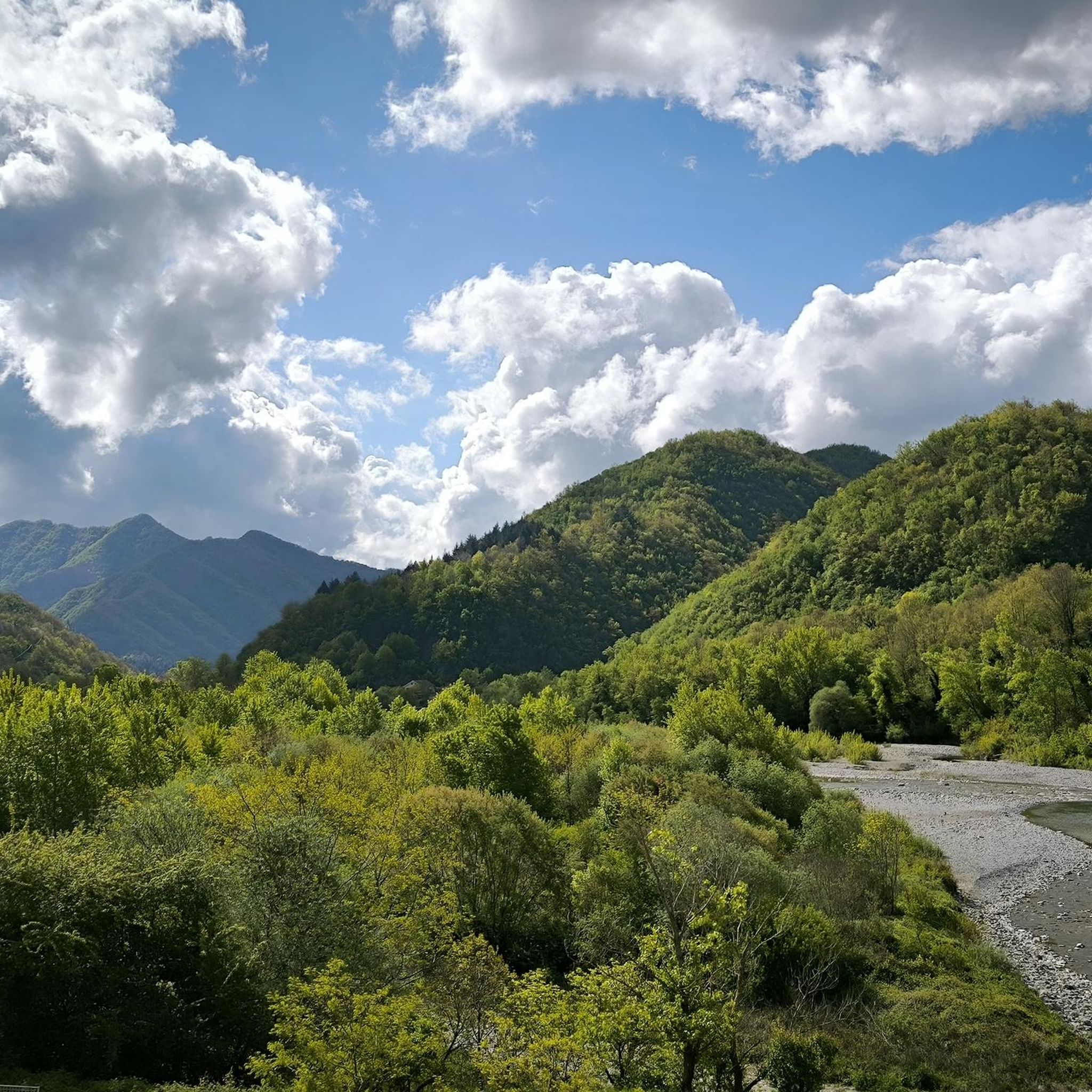
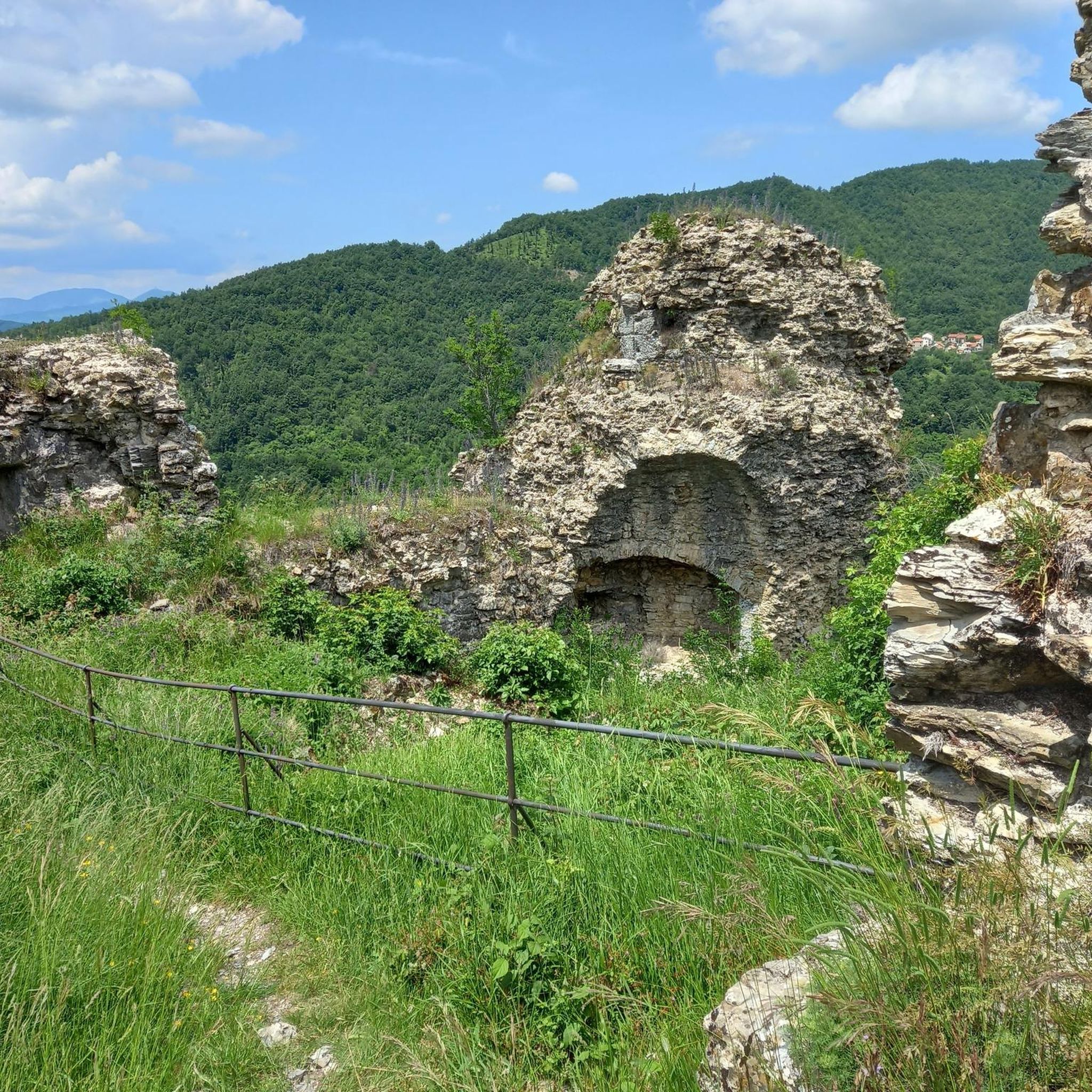
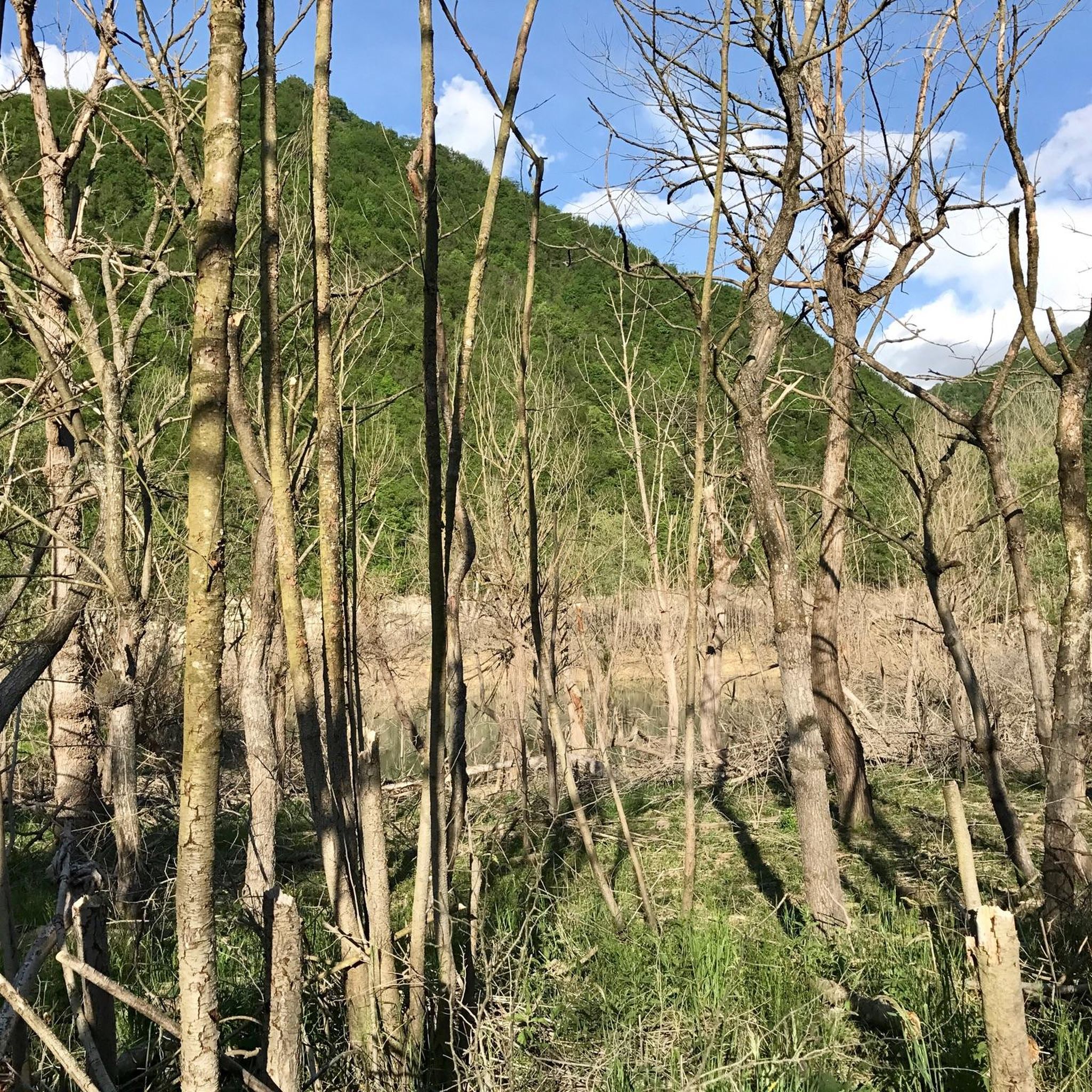

Tips from the Community


The highest of the forts in Genoa and the only one not in the city municipality, but in that of Sant'Olcese. Easily accessible from the Baita del Diamante (Trensasco), Camporsella or from the Parco del Peralto, it offers truly stunning views and sunsets.
0
0

Climbing to the fort from Trensasco.
0
0

Monte loved by the Genoese in summer and winter
0
0

beautiful and fun, definitely an experience to try at least once...
0
0

Going up from the asphalt side as you say, once at the top of the mountain, is there the possibility of continuing down the other side? Thank you
0
0
Beautiful peak to reach in all seasons. Path from the Roman's house with approximately 400 meters of altitude difference and suitable for everyone
0
1
Frequently Asked Questions
What are some of the most popular mountain peaks to visit around Montoggio?
Among the most popular peaks, you'll find Forte Diamante, a historical fortification offering panoramic views and accessible routes. Another favorite is Mount Antola, the highest peak in the area, known for its extensive views of the Po Valley and the sea. Visitors also appreciate Monte Fasce Summit for its splendid views of the Ligurian Riviera and the Apennines.
Are there any easy or family-friendly mountain walks near Montoggio?
Yes, several options are suitable for non-expert hikers and families. The routes leading to Forte Diamante are generally considered accessible. Additionally, the path to the Summit of Monte Bado is well-marked and has no significant difficulty, offering spectacular views without a strenuous climb.
What kind of views can I expect from the mountain peaks in the Montoggio area?
The peaks around Montoggio offer diverse and stunning views. From the Summit of Monte Bado, you can see from the Ligurian hinterland to the Western Alps and the Gulf of Genoa. Mount Antola provides expansive views of the Po Valley and the sea. Monte Fasce Summit offers a splendid panorama of the Ligurian Riviera and the Apennines.
Are there any historical sites or landmarks on the mountain peaks?
Absolutely. Forte Diamante is a prominent historical fortification located on a strategic high point, offering significant panoramic views and insights into the region's past. Monte Alpesisa also holds historical significance, as its strategic views were used by the Resistance during World War II.
What are some challenging mountain climbs or trails for experienced hikers?
For more experienced hikers, Mount Antola offers challenging trails to its 1,597-meter summit. The Monte Fasce Summit also presents a challenging ascent, particularly for cyclists due to its steep gradient and road conditions, but it's a rewarding climb for hikers as well. The Sentiero di S. Agostino (St. Augustine Trail) to Monte Liprando is a moderate 7.1-mile route with a significant elevation gain.
What outdoor activities can I do near these mountain peaks?
Beyond hiking, the Montoggio area offers various outdoor activities. You can explore gravel biking routes, such as those found in the Gravel biking around Montoggio guide. There are also numerous cycling tours, detailed in the Cycling around Montoggio guide, and dedicated MTB trails, which you can discover in the MTB Trails around Montoggio guide.
Are there specific trails known for natural features like forests or unique landscapes?
Yes, the region is rich in natural beauty. The Sentiero di S. Agostino (St. Augustine Trail) leading to Monte Liprando passes through immense chestnut groves. The Three Crosses Pass is immersed in a beautiful deciduous forest, featuring three wooden crosses that blend with the environment. The Campoveneroso Loop also takes you through scenic woods.
What should I know about water availability on the trails?
It's important to be prepared, as not all trails have water points. For instance, when hiking to the Summit of Monte Bado, there are no water points along the trail, so it's advisable to stock up at Case Cornua before starting your ascent.
What is the best time of year to hike the mountain peaks around Montoggio?
The Ligurian Apennines, including the Montoggio area, are generally pleasant for hiking from spring through autumn. These seasons offer mild temperatures and vibrant landscapes. While winter hiking is possible, some trails might be more challenging due to snow or ice, especially at higher elevations like Mount Antola.
Are there any circular hiking routes available?
Yes, the Campoveneroso Loop from Montoggio is a moderate 4.6-mile circular trail. It offers a journey through woods and past panoramic viewpoints, leading to the ruins of Campoveneroso, making it an interesting option for those who enjoy a mix of nature and history on a loop.
What makes Monte Liprando a notable peak to visit?
Monte Liprando is accessible via the moderate Sentiero di S. Agostino (St. Augustine Trail), a 7.1-mile route that involves a significant elevation gain. It rewards hikers with panoramic summit views and passes through immense chestnut groves, offering glimpses into the culture of the Val Brevenna.
Can you tell me more about Monte Alpesisa?
Monte Alpesisa, standing at 989 meters, divides the Val Bisagno and the Scrivia Valley. Its grassy summit is visible from Molassana and overlooks Creto. A scenic section of the Alta Via dei Monti Liguri leads to its summit from Creto, suitable for most skill levels. The mountain's strategic views were historically used by the Resistance during World War II.
Most popular routes around Montoggio
Most popular attractions around Montoggio

Get inspired with the komoot mobile app


Explore more
See even more amazing summits around Montoggio with these guides:
