The best running trails around Montoggio
4.4
(131)
5,275
runners
137
runs
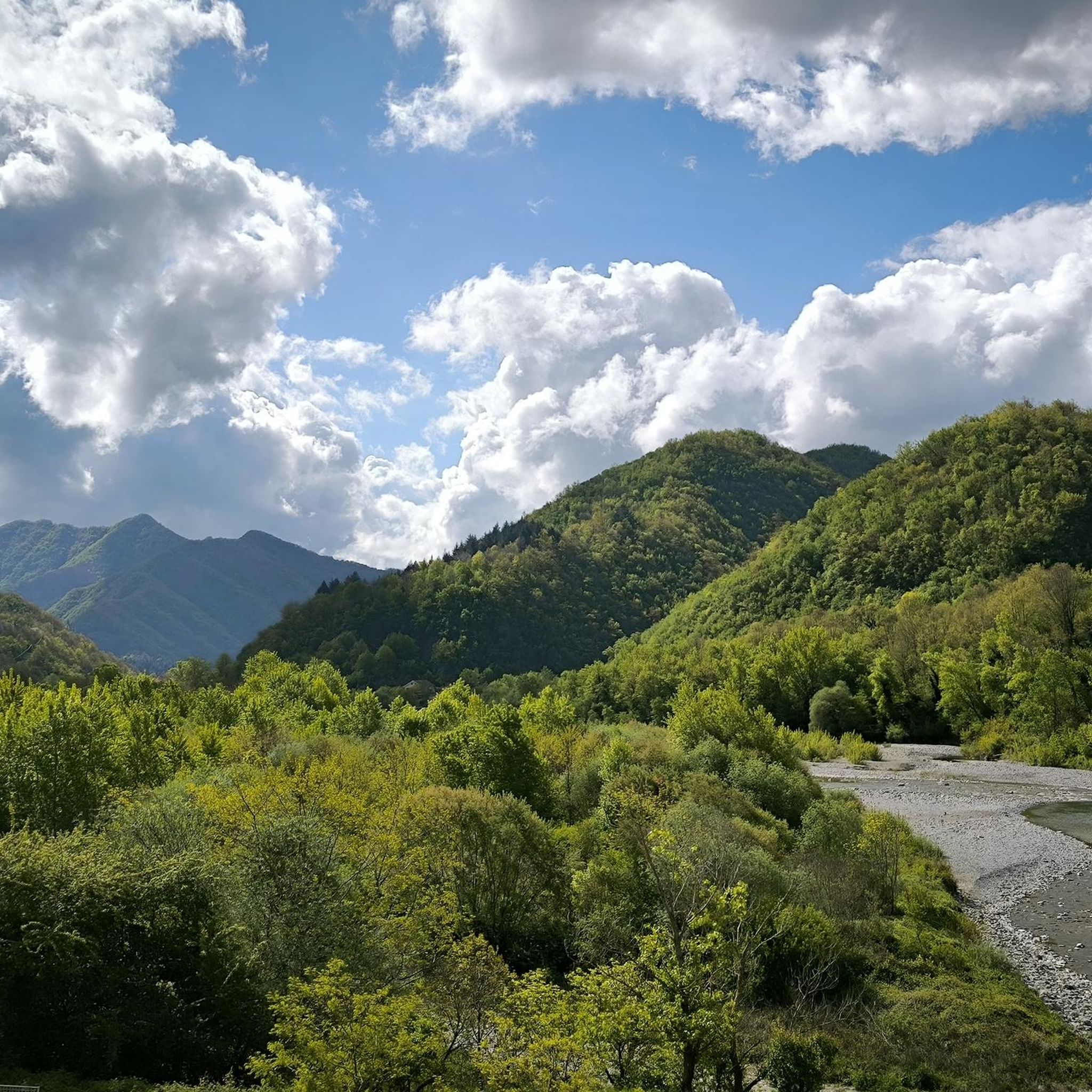
Jogging routes around Montoggio traverse the Ligurian Apennines, characterized by a dramatic interplay of mountains and valleys. The region features lush woods and varied terrain, offering both challenging ascents and more gentle paths. Panoramic viewpoints provide expansive vistas of the surrounding mountains, including the proximity to Antola Regional Natural Park. The area's diverse landscapes make it suitable for various running conditions.
Best jogging routes around Montoggio
- The most popular jogging route is Mount Buio – Mount Antola loop from Casella…
Last updated: May 20, 2026
8
runners
41.8km
06:42
1,920m
1,920m
Hard run. Very good fitness required. Sure-footedness, sturdy shoes and alpine experience required.
7
runners
10.6km
01:12
270m
270m
Moderate run. Good fitness required. Mostly paved surfaces. Suitable for all skill levels.

Sign up for free
8
runners
24.7km
02:46
570m
570m
Hard run. Very good fitness required. Mostly paved surfaces. Suitable for all skill levels.
5.0
(3)
8
runners
16.3km
01:47
330m
330m
Hard run. Very good fitness required. Mostly paved surfaces. Suitable for all skill levels.
6
runners
20.5km
02:22
550m
550m
Hard run. Very good fitness required. Mostly accessible paths. Some sure footedness required.
Get access to more routes and recommendations from other explorers.
Sign up for free
Already have an account?
Our route recommendations are based on thousands of hikes, rides, and runs completed by other people on komoot.
Start today with a free account
Your next adventure awaits.
Login or Signup

Tips from the Community


great lunch after long hike from crocefieschi, great company.
1
0

Great place to eat with excellent cuisine at fair prices
0
0

Monte loved by the Genoese in summer and winter
0
0

beautiful and fun, definitely an experience to try at least once...
0
0
Beautiful peak to reach in all seasons. Path from the Roman's house with approximately 400 meters of altitude difference and suitable for everyone
0
1
Nice terrace for outdoor dining and sunbathing
0
0
From the top of Mount Antola you can enjoy a beautiful view of the lake and up to the sea, in perfect conditions you can even see Corsica
0
0
Frequently Asked Questions
How many running routes are available around Montoggio?
Montoggio offers an extensive network of over 110 running routes. These trails traverse the Ligurian Apennines, providing a wide variety of options for different fitness levels and preferences.
What kind of terrain can I expect on jogging routes in Montoggio?
The terrain around Montoggio is highly varied, characterized by a dramatic interplay of mountains and valleys. You'll find lush woods, natural surfaces, and paths ranging from challenging ascents to more gentle trails. Many routes offer panoramic viewpoints of the surrounding mountains and sometimes even glimpses of the Gulf of Genoa.
Are there running routes suitable for beginners or those looking for an easier jog?
Yes, while Montoggio is known for its mountainous terrain, there are routes suitable for all skill levels. The region offers a mix of easy and moderate paths. For example, the Palazzo Fieschi, Casella – Casella Town Center loop from Casella Paese is a moderate 6.6-mile path that offers a mix of natural surfaces and passes through local landmarks, making it a good option for a less strenuous run.
Can I find circular running routes in Montoggio?
Absolutely. Many of the running routes in Montoggio are designed as loops, allowing you to start and finish at the same point. Examples include the Mount Buio – Mount Antola loop from Casella Paese for a challenging long-distance run, or the Palazzo Fieschi, Casella – Casella Town Center loop from Casella Paese for a moderate option.
What are some notable natural features or landmarks I might see while running in Montoggio?
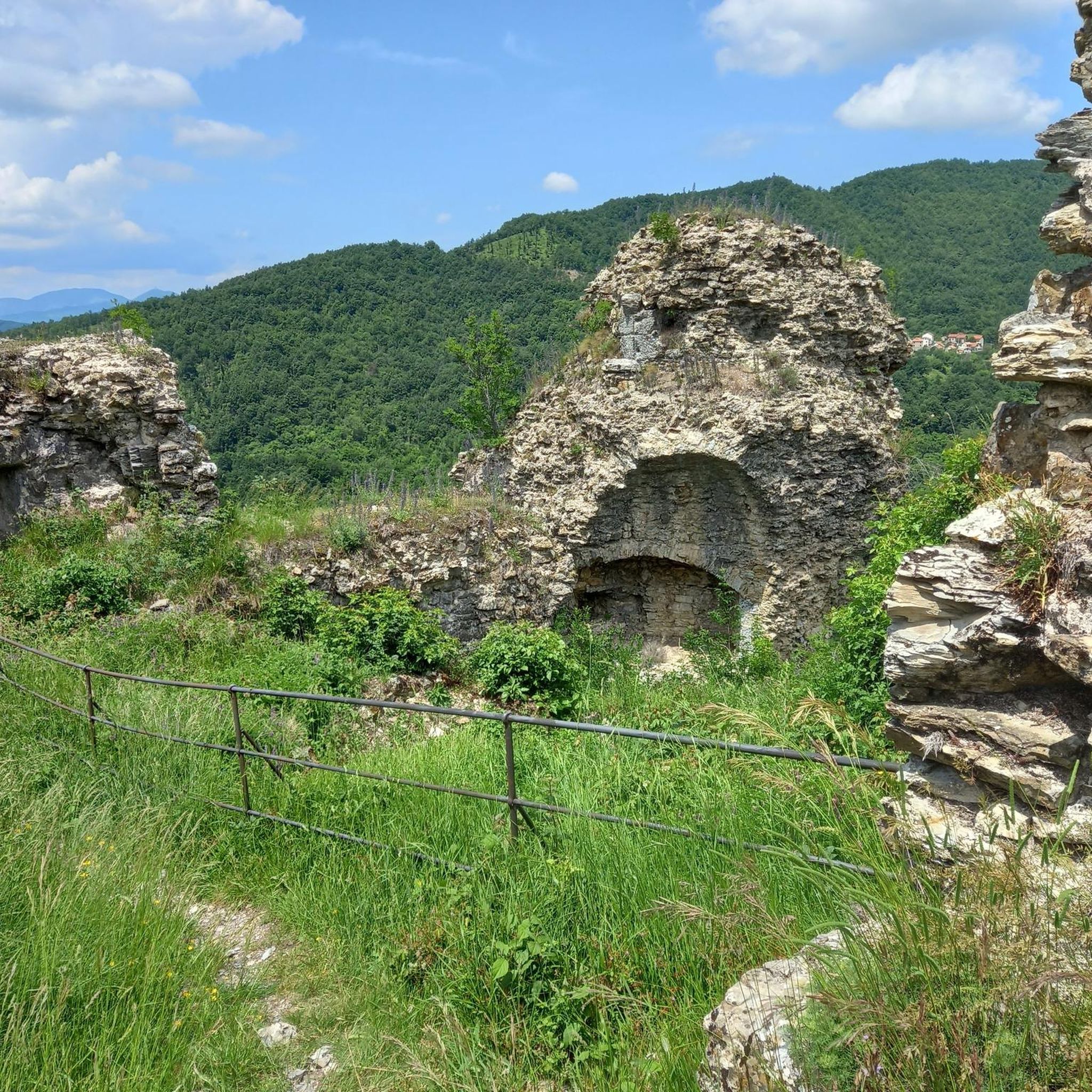
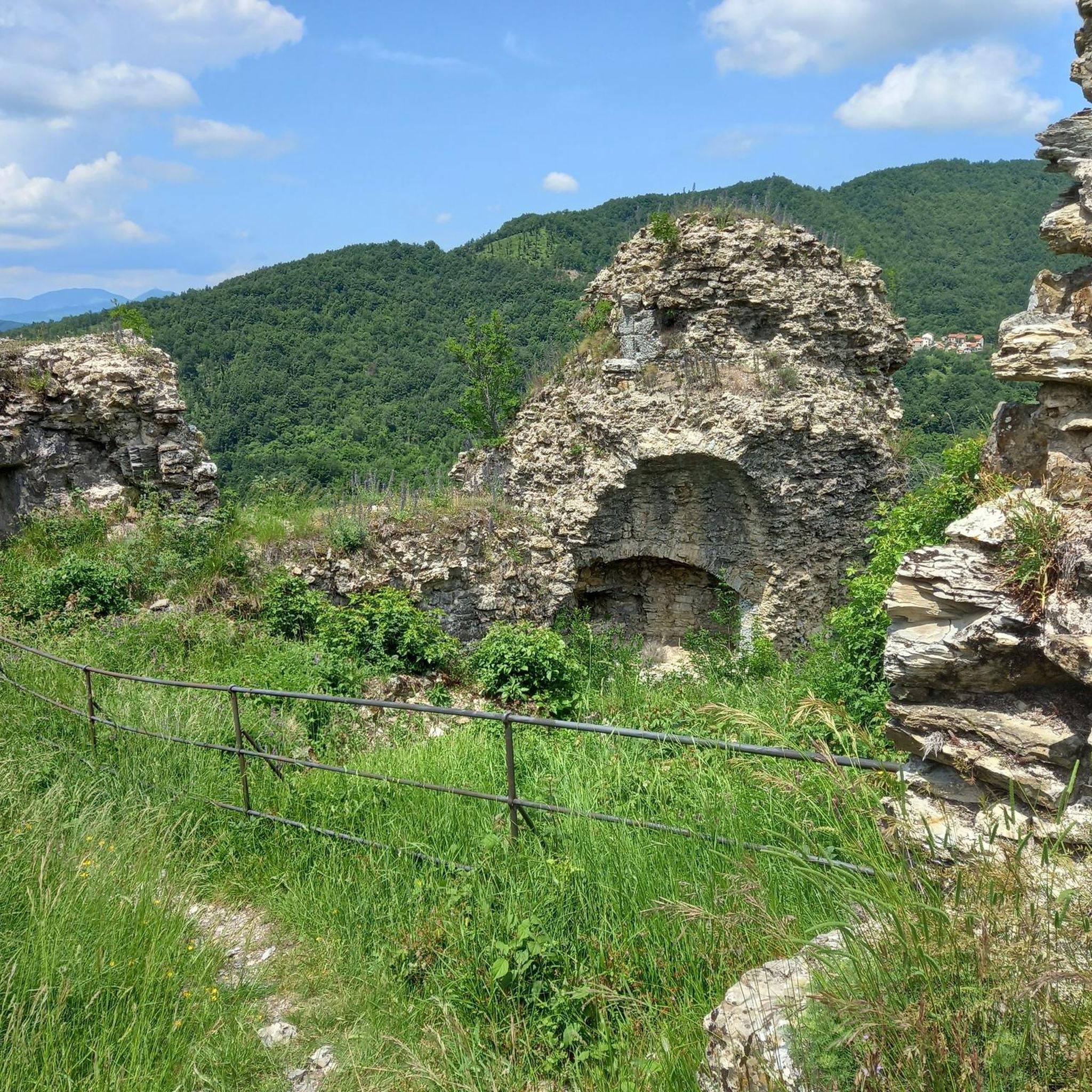
Montoggio's routes often lead through beautiful natural landscapes and past historical sites. You might encounter significant summits like Mount Antola or Monte Fasce Summit, offering stunning views. The area is also home to historical structures such as Castello della Pietra and various forts like Forte Diamante, providing interesting points of interest along your run.
Are there any long-distance running opportunities in the Montoggio area?
Yes, the broader region around Montoggio is home to sections of the Alta Via dei Monti Liguri, a long-distance trail that connects various natural parks. This offers extensive opportunities for endurance running and exploration. For a challenging long-distance loop, consider the Mount Buio – Mount Antola loop from Casella Paese, which spans over 25 miles.
What do other runners say about the trails in Montoggio?
The running routes in Montoggio are highly regarded by the komoot community, boasting an average rating of 4.3 stars from over 140 reviews. More than 6,000 runners have used komoot to explore the varied terrain, often praising the lush woods, diverse mountain landscapes, and the panoramic viewpoints.
Is Montoggio a good destination for trail running with elevation changes?
Montoggio, nestled in the Ligurian Apennines, is an excellent destination for trail running with significant elevation changes. The region features a dramatic interplay of mountains and valleys, offering numerous routes with challenging ascents and descents, perfect for those seeking a vigorous workout amidst stunning natural beauty.
Are there any specific trails that offer particularly good panoramic views?
Many trails in Montoggio provide expansive vistas. The St. Augustine Trail, mentioned in regional research, is known for its panoramic summit views. Additionally, routes like the Mount Buio – Mount Antola loop from Casella Paese will take you through high elevations with breathtaking scenery of the surrounding mountains and potentially the Gulf of Genoa on clear days.
What is the best time of year to go jogging in Montoggio?
While specific seasonal conditions can vary, the Ligurian Apennines generally offer pleasant conditions for outdoor activities for much of the year. Spring and autumn are often ideal, with milder temperatures and vibrant natural colors. Summer can be warm, but higher elevation trails may offer cooler air. Winter running is possible, but some higher or more exposed routes might require checking local weather and trail conditions.
Are there any easy-to-access running routes near Montoggio?
Yes, some paths are described as easily-accessible and suitable for various skill levels. While many routes involve elevation, there are options that provide a more gentle experience. For instance, the Palazzo Fieschi, Casella – Casella Town Center loop from Casella Paese is a moderate route that offers a good balance of accessibility and scenic running.
Most popular attractions around Montoggio

Get inspired with the komoot mobile app


Explore more
Browse the best Running Trails & Routes in other regions.
