The best mountain hikes around Laives - Leifers
4.7
(36)
298
hikers
23
hikes
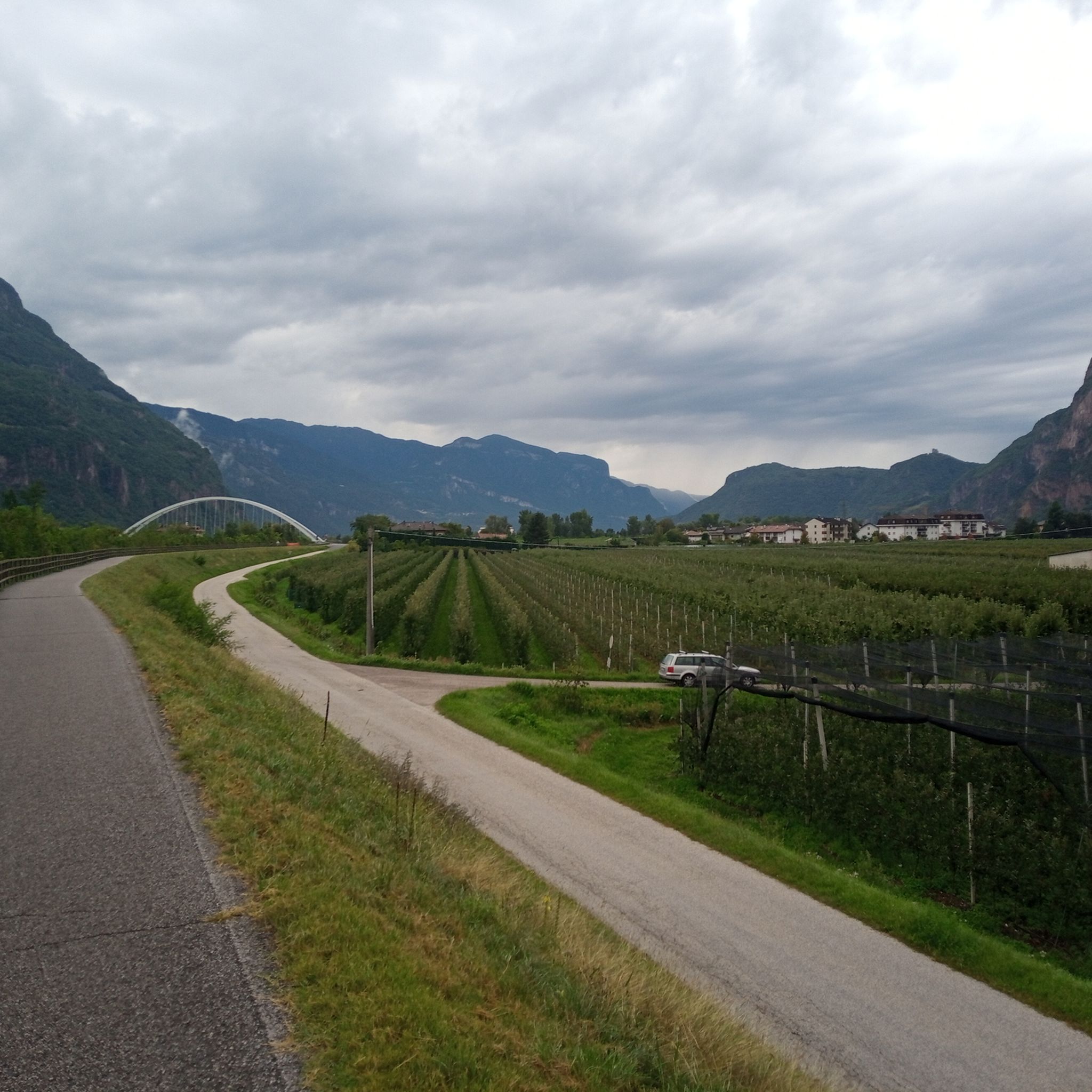
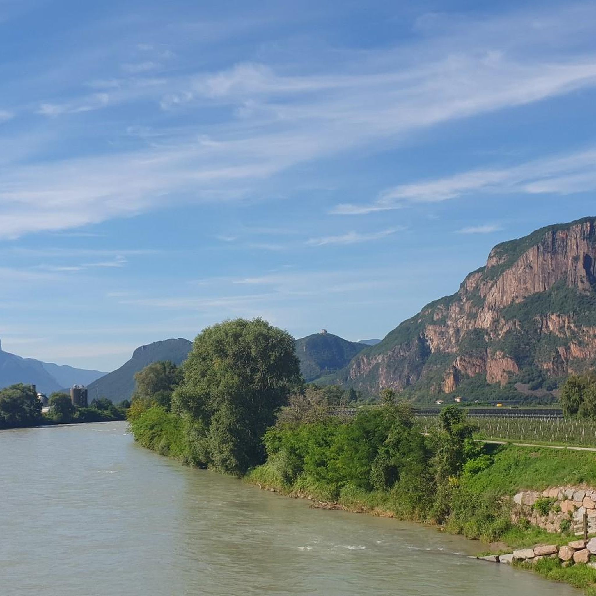
Mountaineering routes around Laives - Leifers traverse diverse landscapes in the southern part of South Tyrol, characterized by the wide Val d'Adige/Etschtal valley. The region features prominent porphyry walls, particularly in the Brantental valley, and is surrounded by lush apple orchards and vineyards. Mountain peaks such as Lavinaspitze and Weißhorn offer challenging ascents and expansive views, while historical castles like Leuchtenburg and Laimburg add cultural interest to the routes.
Best mountaineering routes around Laives - Leifers
- The most popular mountaineering route is Lavinaspitze Above Caldaro – Via Ferrata Monte Roen loop from St.Anton - Sant'Antonio frazione di Caldaro, a 17.2 miles (27.6 km) difficult trail that takes 11 hours 32 minutes to complete, featuring a via ferrata section.
- Another top favourite among local mountaineers is Ascent to Weißhorn – Weißhorn Summit loop from Dolomites UNESCO World Heritage - GEOPARC Bletterbach, a difficult 7.5 miles (12.1 km) path offering views of the Dolomites.
- Local mountaineers also love the Leiferer Höhenweg loop from Laives - Leifers, a 7.4 miles (11.9 km) trail leading through varied terrain, often completed in about 4 hours 16 minutes.
- Mountaineering around Laives - Leifers is defined by porphyry walls, panoramic views over the Val d'Adige valley, and ascents to peaks like Lavinaspitze and Weißhorn. The network offers options for different ability levels, from moderate paths to challenging alpine routes.
- The routes in Laives - Leifers are highly rated by the komoot community with an average score of 4.6 stars from over 60 reviews. More than 500 mountaineers have used komoot to explore Laives - Leifers's varied terrain.
Last updated: August 28, 2026
5.0
(3)
21
hikers
Hard mountaineering route. Very good fitness required. Sure-footedness, sturdy shoes and alpine experience required.
5.0
(1)
16
hikers
Hard mountaineering route. Very good fitness required. Sure-footedness, sturdy shoes and alpine experience required.

Sign up for free
5.0
(3)
19
hikers
15.9km
07:14
1,150m
1,150m
Hard mountaineering route. Very good fitness required. Sure-footedness, sturdy shoes and alpine experience required.
4.5
(2)
15
hikers
Easy mountaineering route. Great for any fitness level. Easily-accessible paths. Suitable for all skill levels.
5.0
(2)
7
hikers
14.3km
05:35
760m
760m
Hard mountaineering route. Very good fitness required. Sure-footedness, sturdy shoes and alpine experience required.
Get access to more routes and recommendations from other explorers.
Sign up for free
Already have an account?
Our route recommendations are based on thousands of hikes, rides, and runs completed by other people on komoot.
Start today with a free account
Your next adventure awaits.
Login or Signup
Popular around Laives - Leifers

Other adventures around Laives - Leifers

Tips from the Community

Incredibly beautiful monastery church.
0
0

The beginnings of the Maria Weißenstein monastery date back to 1553. According to legend, the Virgin Mary is said to have appeared to the mountain farmer Leonhard Weißensteiner and healed him of his illness. As thanks, she asked him to build a chapel at that spot, where all believers could pray for help from then on. Source: https://www.deutschnofen.org/sommer/wallfahrtsort-maria-weissenstein/
1
0

A beautiful viewpoint with a great view that invites you to linger.
1
0

The Mendelbahn also transports bicycles
2
0
Good starting point for numerous hikes and mountain bike tours
2
0

Interesting because you can see all the rock layers for a few hundred meters in height.
0
0

From the Jochgrimm mountain hotel
0
0

Maria Weißenstein is not only a spiritual place, but also a popular destination for hikers. A well-marked pilgrimage route, for example, leads from Leifers to the basilica in about four hours. The pilgrimage church is open year-round and offers visitors the opportunity to find peace and contemplation amidst the impressive Dolomite landscape.
2
0
Frequently Asked Questions
How many mountaineering routes are available around Laives - Leifers?
There are over 25 mountaineering routes around Laives - Leifers, offering a diverse range of experiences. These include 12 moderate and 14 difficult trails, ensuring options for various skill levels.
Are there any easy mountaineering routes suitable for beginners in Laives - Leifers?
Yes, while many routes are moderate to difficult, there is at least one easy mountaineering route available. These trails are generally less demanding, making them suitable for those new to mountaineering or looking for a more relaxed experience.
What kind of terrain can I expect on mountaineering routes in Laives - Leifers?
Mountaineering routes in Laives - Leifers traverse diverse terrain. You'll encounter prominent porphyry walls, particularly in the Brantental valley, and enjoy panoramic views over the Val d'Adige/Etschtal valley. Some routes, like the Leiferer Höhenweg loop from Laives - Leifers, are known for their varied landscapes, including rock faces and rope-secured sections.
Are there any circular mountaineering routes in the area?
Yes, several routes are designed as loops, allowing you to start and finish at the same point. For example, the Ascent to Weißhorn – Weißhorn Summit loop from Dolomites UNESCO World Heritage - GEOPARC Bletterbach offers a challenging circular experience with stunning views of the Dolomites.
What are some notable landmarks or viewpoints along the mountaineering routes?
The region offers numerous landmarks and viewpoints. You can find spectacular vistas from places like View of the Schlern and View of the Dolomites. The Peterköfele Chapel and the viewpoints of Rotwand and Rotenstein also provide splendid views of the valley and surrounding mountains. The Corno Bianco / Weißhorn Summit is another prominent peak offering expansive views.
Can I find routes that include a via ferrata section?
Yes, for those seeking an extra challenge, the Lavinaspitze Above Caldaro – Via Ferrata Monte Roen loop from St.Anton - Sant'Antonio frazione di Caldaro is a difficult trail that includes a via ferrata section, requiring surefootedness and a good head for heights.
Are there any routes that pass by lakes or water features?
While not directly on the mountaineering routes, the region around Laives - Leifers is close to the beautiful Montiggler Lakes and Lake Caldaro. You can find viewpoints like Alpine panorama with a view of Lake Kaltern, offering scenic perspectives of these water bodies. The Rastenbach Gorge also features a beautiful hiking trail with numerous steps, viewpoints, and waterfalls.
What do other mountaineers say about the routes in Laives - Leifers?
The mountaineering routes in Laives - Leifers are highly rated by the komoot community, with an average score of 4.6 stars from over 60 reviews. Mountaineers often praise the varied terrain, the challenging ascents to peaks like Lavinaspitze and Weißhorn, and the spectacular panoramic views over the Val d'Adige valley.
Are there any routes that offer a cultural or historical element?
Yes, the region has a rich history. The pilgrimage route to Maria Weißenstein, starting in Laives, leads to Tyrol's most popular pilgrimage site, offering a cultural and spiritual dimension to hiking. Historical castles like Leuchtenburg and Laimburg also add cultural interest to the routes in the area.
What is the best time of year for mountaineering in Laives - Leifers?
The best time for mountaineering typically spans from late spring to early autumn (May to October), when the weather is generally stable and trails are clear of snow. However, Laives also offers opportunities for winter activities like snowshoe hiking in the colder months, particularly near the Obereggen Ski Center Latemar.
Are there any half-day mountaineering options?
Yes, some routes can be completed within a half-day. For instance, the Leiferer Höhenweg loop from Laives - Leifers is a moderate trail that typically takes around 4 hours and 16 minutes, making it a good option for a shorter mountaineering excursion.
What kind of views can I expect on the mountaineering routes?
You can expect spectacular panoramic views of the entire Val d'Adige/Etschtal valley. Many routes offer vistas extending to the majestic Dolomites, a UNESCO World Heritage site, and over the lush apple orchards and vineyards that characterize the surrounding area.
Most popular routes around Laives - Leifers
Most popular attractions around Laives - Leifers

Get inspired with the komoot mobile app


Explore more
Browse the best Mountain Hikes & Routes in other regions.
