The best running trails around Laives - Leifers
3.9
(61)
1,270
runners
53
runs
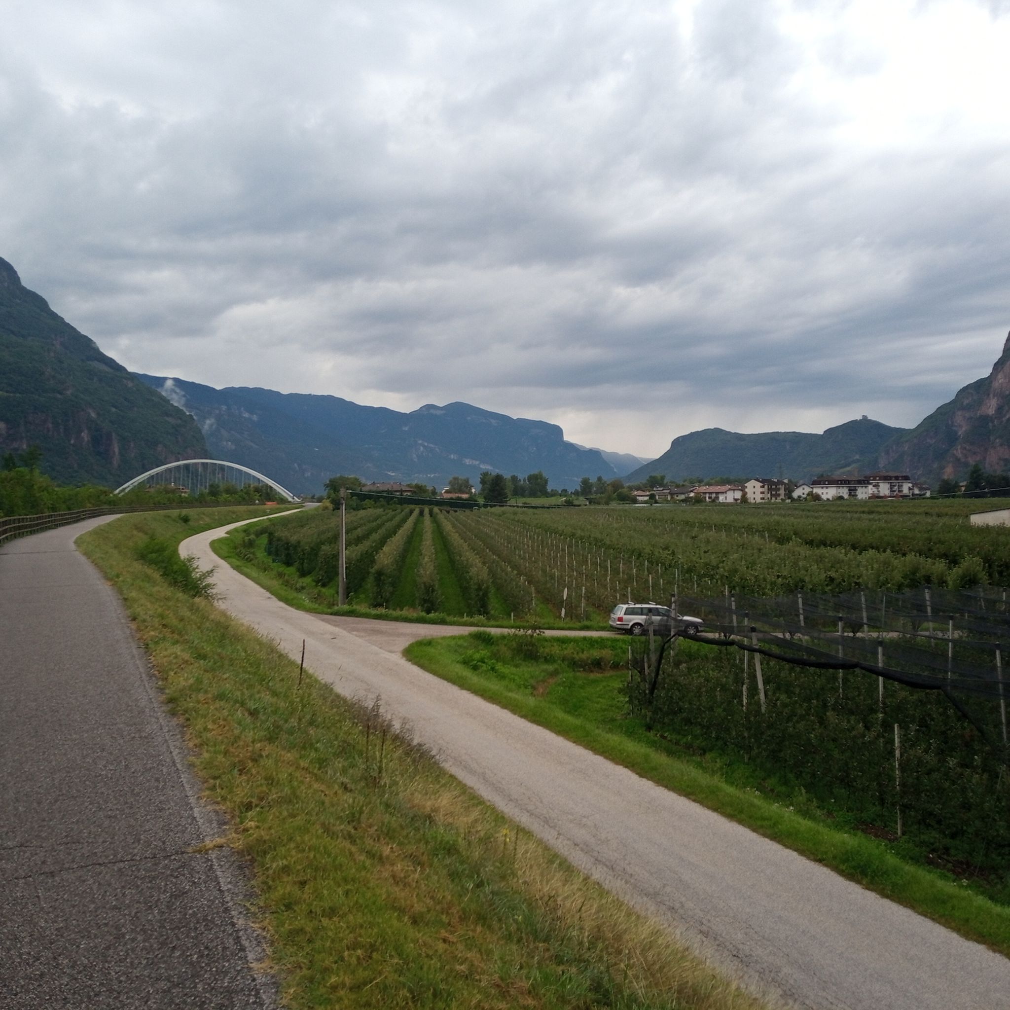
Jogging around Laives - Leifers offers a diverse landscape, characterized by a mix of valleys, mountains, orchards, and vineyards. The region provides varied terrain, from flat, paved paths along the Adige Cycle Path to challenging high-altitude routes. Runners can explore extensive apple orchards and vineyards, particularly towards neighboring villages, or tackle mountainous terrain with significant elevation gains. The area features well-maintained trails suitable for a wide range of fitness levels.
Best jogging routes around Laives - Leifers
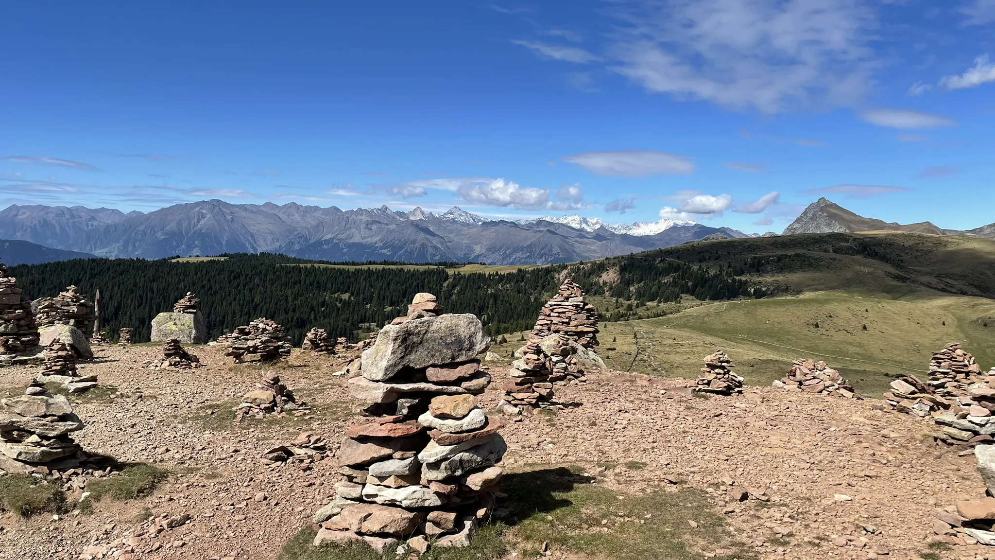
- The most popular jogging route is Alta Via di Laives loop, a 32.6 miles (52.5 km) trail that takes 7 hours 39 minutes to complete. This difficult route traverses alpine terrain, offering expansive views over the Val d'Adige.
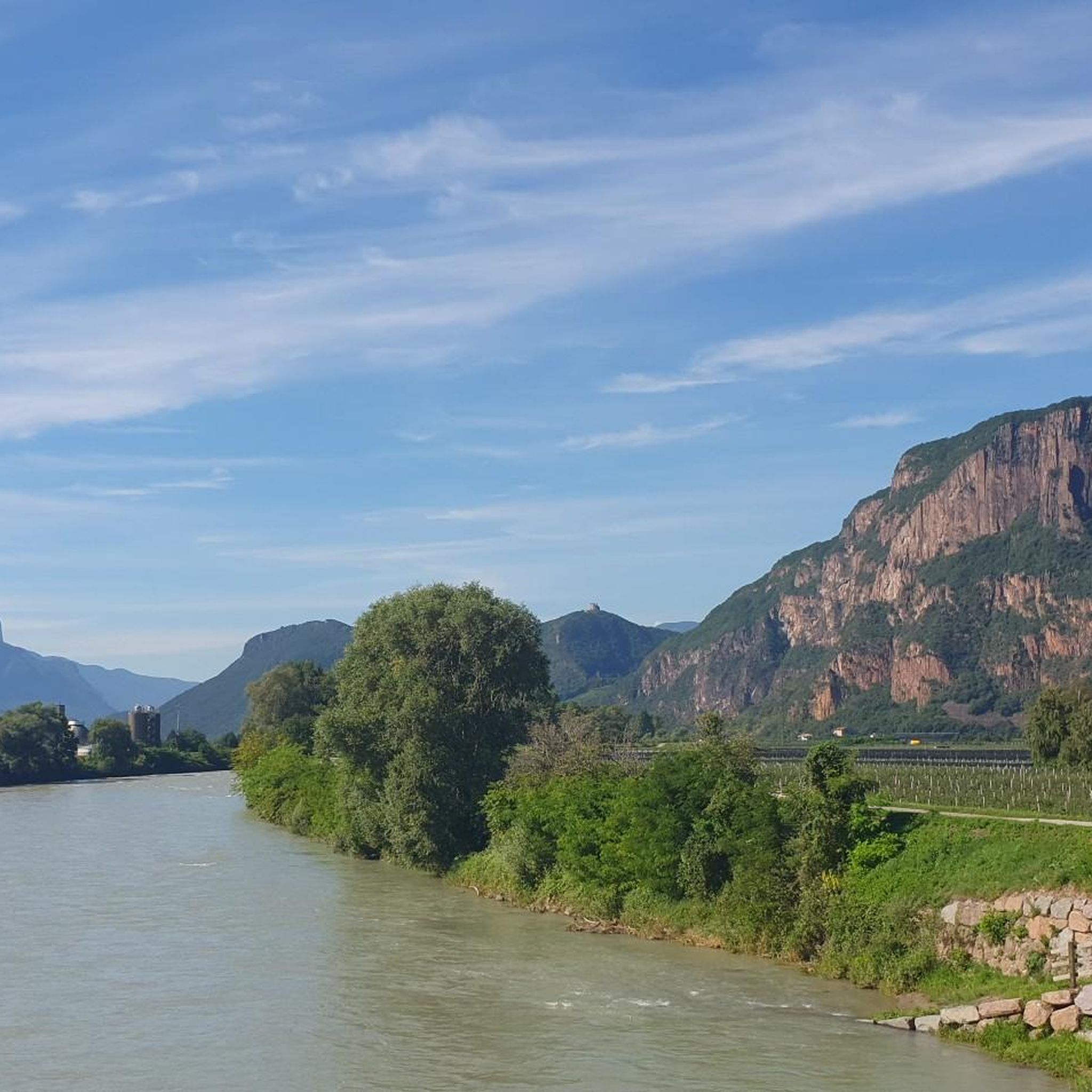
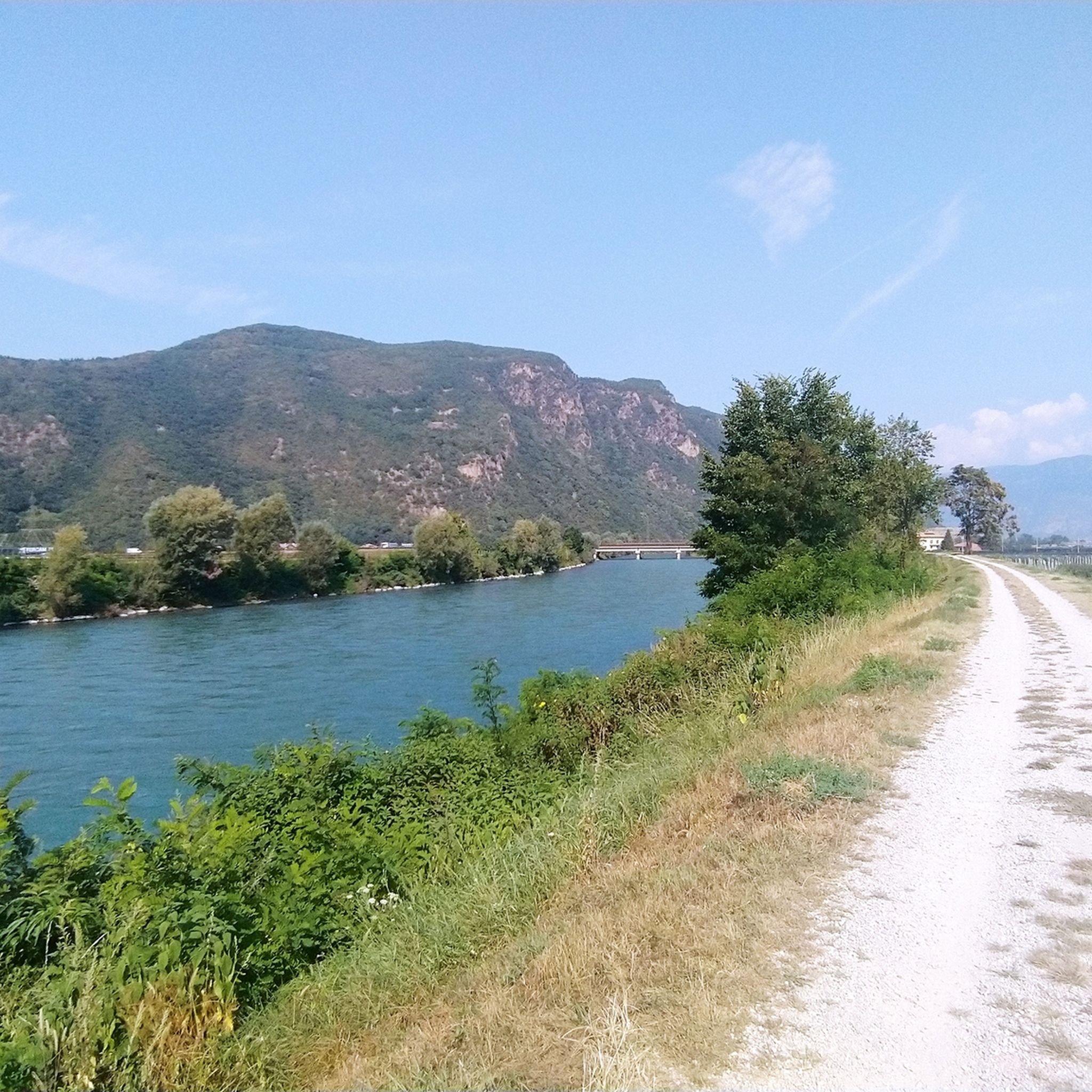
- Another top favourite among local runners is Adige Cycle Path – Adige Cycle Path near Bolzano loop from Laives - Leifers, a moderate 6.7 miles (10.8 km) path. This route offers mostly paved, flat surfaces, ideal for a relaxed run.
- Local runners also love the Running loop from Pineta - Steinmannwald, a 4.1 miles (6.7 km) trail leading through scenic orchards, often completed in about 41 minutes.
- Jogging around Laives - Leifers is defined by scenic valleys, extensive apple orchards, and challenging mountainous terrain. The network offers options for various ability levels, from easy valley paths to demanding mountain ascents.
- The routes in Laives - Leifers are highly rated by the komoot community with an average score of 4.2 stars from over 40 reviews. More than 800 runners have used komoot to explore Laives - Leifers's varied terrain.
Last updated: August 25, 2026
5.0
(1)
5
runners
52.5km
07:39
2,610m
2,610m
Hard run. Very good fitness required. Sure-footedness, sturdy shoes and alpine experience required.
5.0
(40)
229
runners
Moderate run. Good fitness required. Mostly paved surfaces. Suitable for all skill levels.

Sign up for free
3.8
(4)
66
runners
6.73km
00:42
20m
20m
Moderate run. Good fitness required. Mostly paved surfaces. Suitable for all skill levels.
63
runners
Hard run. Very good fitness required. Mostly paved surfaces. Suitable for all skill levels.
57
runners
Moderate run. Good fitness required. Mostly paved surfaces. Suitable for all skill levels.
Get access to more routes and recommendations from other explorers.
Sign up for free
Already have an account?
Our route recommendations are based on thousands of hikes, rides, and runs completed by other people on komoot.
Start today with a free account
Your next adventure awaits.
Login or Signup
Popular around Laives - Leifers

Other adventures around Laives - Leifers

Tips from the Community

Kilometers that seem endless, one plantation after another.
0
0

A cycle path can hardly be better. Well signposted, varied, with many shady resting places and always along the river. I have already ridden this section from Meran to just before Trento for the third time. Always beautiful again 👍🚴♀️
0
0

The Adige cycle path is about 300 km long. You can cycle on it from Reschensee to Verona without many climbs.
0
0
The Etschradweg is approx. 300 km long. You can cycle on it from Reschensee to Verona without many climbs.
0
0
The Eisack is 100 km long, making it the second longest river in South Tyrol. It originates near the Brenner Pass and flows into the Adige below Bolzano. The Adige, at 409 km, is the second longest river in Italy. It originates in the mountains of South Tyrol and flows into the Adriatic Sea south of the Venice Lagoon.
0
0

The cafe-ice cream parlor "Zur Brücke" is unfortunately closed since November 2025.
1
0
Frequently Asked Questions
How many running routes are available in Laives - Leifers?
There are over 40 diverse running routes around Laives - Leifers, catering to various fitness levels. These include 3 easy, 23 moderate, and 17 difficult trails, ensuring options for everyone from beginners to experienced trail runners.
Are there easy running trails suitable for beginners or a relaxed jog?
Absolutely. For those seeking a relaxed run or an easy start, the region offers several options. The Adige Cycle Path – Adige Cycle Path near Bolzano loop from Laives - Leifers is a great choice, offering mostly paved, flat surfaces ideal for a comfortable jog. You'll find 3 easy and 23 moderate routes in total.
What kind of terrain can I expect on the running trails in Laives - Leifers?
The terrain in Laives - Leifers is incredibly varied. You can enjoy flat, paved paths along the Adige Cycle Path, scenic runs through extensive apple orchards and vineyards, or challenging ascents on mountainous trails. Some routes, like the Alta Via di Laives loop, even traverse alpine terrain with significant elevation gains.
Are there any running routes that offer great panoramic views?
Yes, many routes provide stunning vistas. The Alta Via di Laives loop, for instance, offers expansive views over the entire Val d'Adige/Etschtal valley. The Laives High Altitude Trail also features magnificent viewpoints, including those from Peterköfele church and the 'Schwabhof' inn, often under the shade of chestnut trees.
Can I find circular running routes in the area?
Yes, Laives - Leifers has several excellent loop options. A popular choice is the Running loop from Pineta - Steinmannwald, which takes you through picturesque orchards. Another notable circular route is the Alta Via di Laives loop, though it's a more demanding option.
What are some interesting landmarks or natural features I might see while running?
Beyond the beautiful orchards and vineyards, you can encounter several points of interest. The Church of St. James in der Au loop from St. Jakob - San Giacomo passes by a historic church. For natural wonders, consider routes near the Rastenbach Gorge Waterfall or the Vineyards at Lake Caldaro, which offer scenic backdrops.
Are there any challenging running routes for experienced trail runners?
Definitely. For those seeking a significant challenge, the Alta Via di Laives loop is a difficult 32.6-mile trail traversing alpine terrain with substantial elevation changes. Another demanding option is the Santuario di Pietralba loop from Laives - Leifers, which involves over 1200 meters of ascent.
What do other runners enjoy most about jogging in Laives - Leifers?
The running routes in Laives - Leifers are highly rated by the komoot community, with an average score of 4.2 stars from over 40 reviews. Reviewers often praise the diverse landscape, the well-maintained trails, and the stunning views over the Val d'Adige, highlighting the variety from flat valley paths to challenging mountain ascents.
Are there any historical or cultural sites accessible via running routes?
Yes, the region has a rich history. The pilgrimage route to Maria Weißenstein, a significant site in Tyrol, starts in Laives and offers a naturally beautiful and historically rich path. Additionally, the Church of St. James in der Au loop from St. Jakob - San Giacomo allows you to run past a local historical landmark.
Can I combine my run with a visit to a castle or other attraction?
Yes, the area is rich in attractions. While running, you might catch glimpses of historical sites. For example, the View of Castel Firmiano is a notable viewpoint. You can also explore nearby castles like Appiano Castle (Hocheppan Castle) or Castel Boymont, which are often connected by scenic trails.
What are the best seasons for running in Laives - Leifers?
Laives - Leifers is excellent for running in spring and autumn, when the apple orchards and vineyards are particularly picturesque and fragrant. Spring brings blossoms, while autumn offers vibrant colors. Summer mornings are also ideal for cooler temperatures, and some higher-altitude trails provide shaded paths under chestnut trees.
Most popular routes around Laives - Leifers
Most popular attractions around Laives - Leifers

Get inspired with the komoot mobile app


Explore more
Browse the best Running Trails & Routes in other regions.
