The best cycling routes around Antey-Saint-André
4.6
(253)
4,024
riders
99
rides
Touring cycling routes around Antey-Saint-André are set within Italy's Aosta Valley, characterized by majestic alpine landscapes and varied terrain. The region features rugged peaks, dense forests, and picturesque alpine lakes such as Lake Champlong and Lake Lod. Cyclists can navigate through meadows, larch, and pine forests, with frequent views of the Matterhorn. The area's elevation, around 1,100 meters, provides diverse routes ranging from valley floors to challenging alpine ascents.
Best touring cycling routes around Antey-Saint-André
- The most popular touring cycling…
Last updated: July 4, 2026
4.9
(17)
291
riders
41.4km
04:25
1,160m
1,160m
Hard bike ride. Very good fitness required. You may need to push your bike for some segments of this route.
5.0
(2)
48
riders
71.8km
07:03
2,340m
2,340m
Hard bike ride. Very good fitness required. You may need to push your bike for some segments of this route.

Sign up for free
4.7
(3)
49
riders
29.1km
02:44
980m
980m
Hard bike ride. Very good fitness required. Mostly paved surfaces. Suitable for all skill levels.
4.0
(2)
15
riders
16.6km
01:27
610m
610m
Hard bike ride. Very good fitness required. Mostly paved surfaces. Suitable for all skill levels.
16
riders
45.0km
04:07
1,690m
1,690m
Hard bike ride. Very good fitness required. Mostly paved surfaces. Suitable for all skill levels.
Get access to more routes and recommendations from other explorers.
Sign up for free
Already have an account?
Our route recommendations are based on thousands of hikes, rides, and runs completed by other people on komoot.
Start today with a free account
Your next adventure awaits.
Login or Signup
Popular around Antey-Saint-André
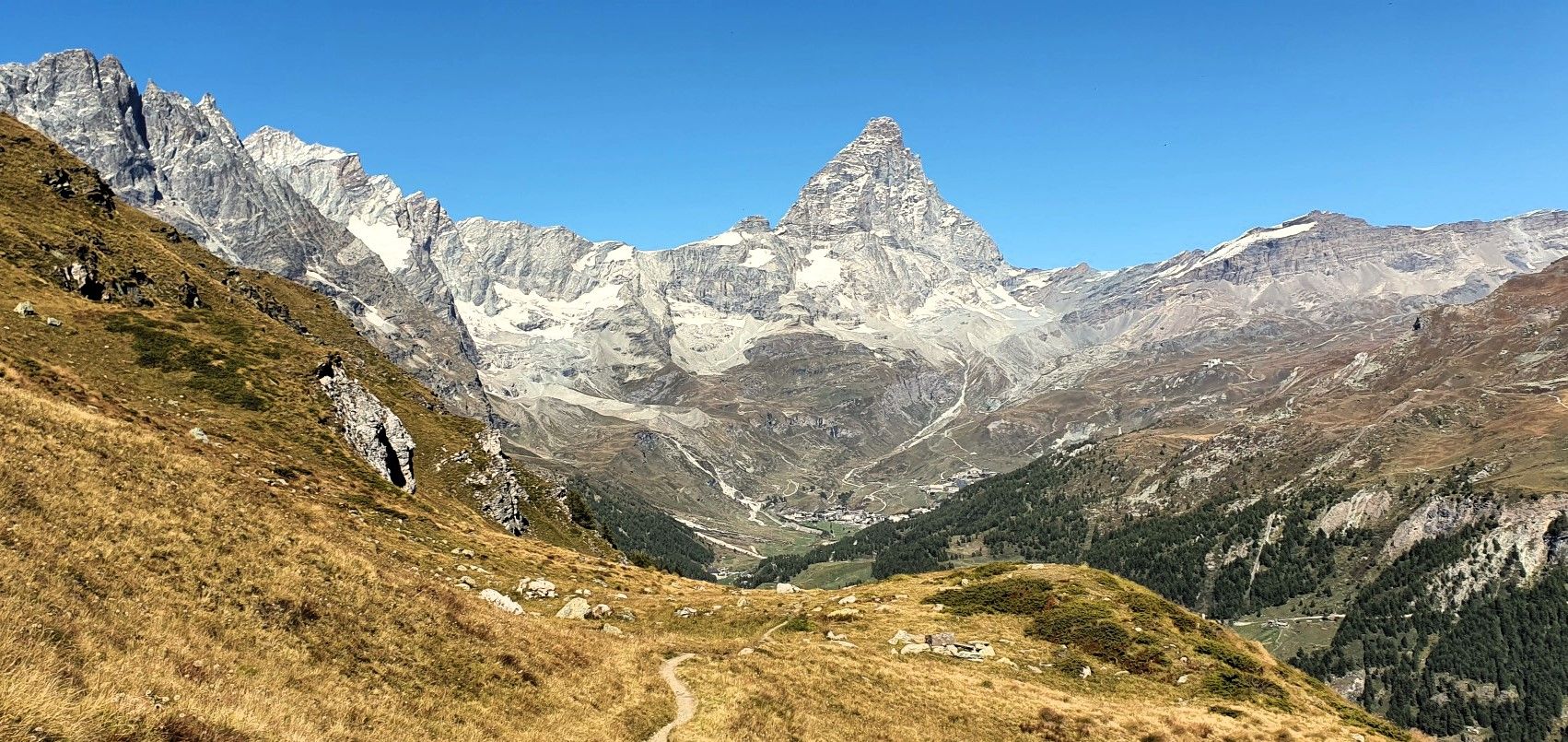
Running with the King – Great Balcony of the Matterhorn
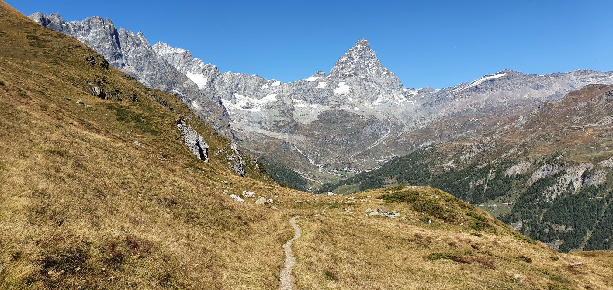
A breath away from the king — Grand Balcony of the Matterhorn
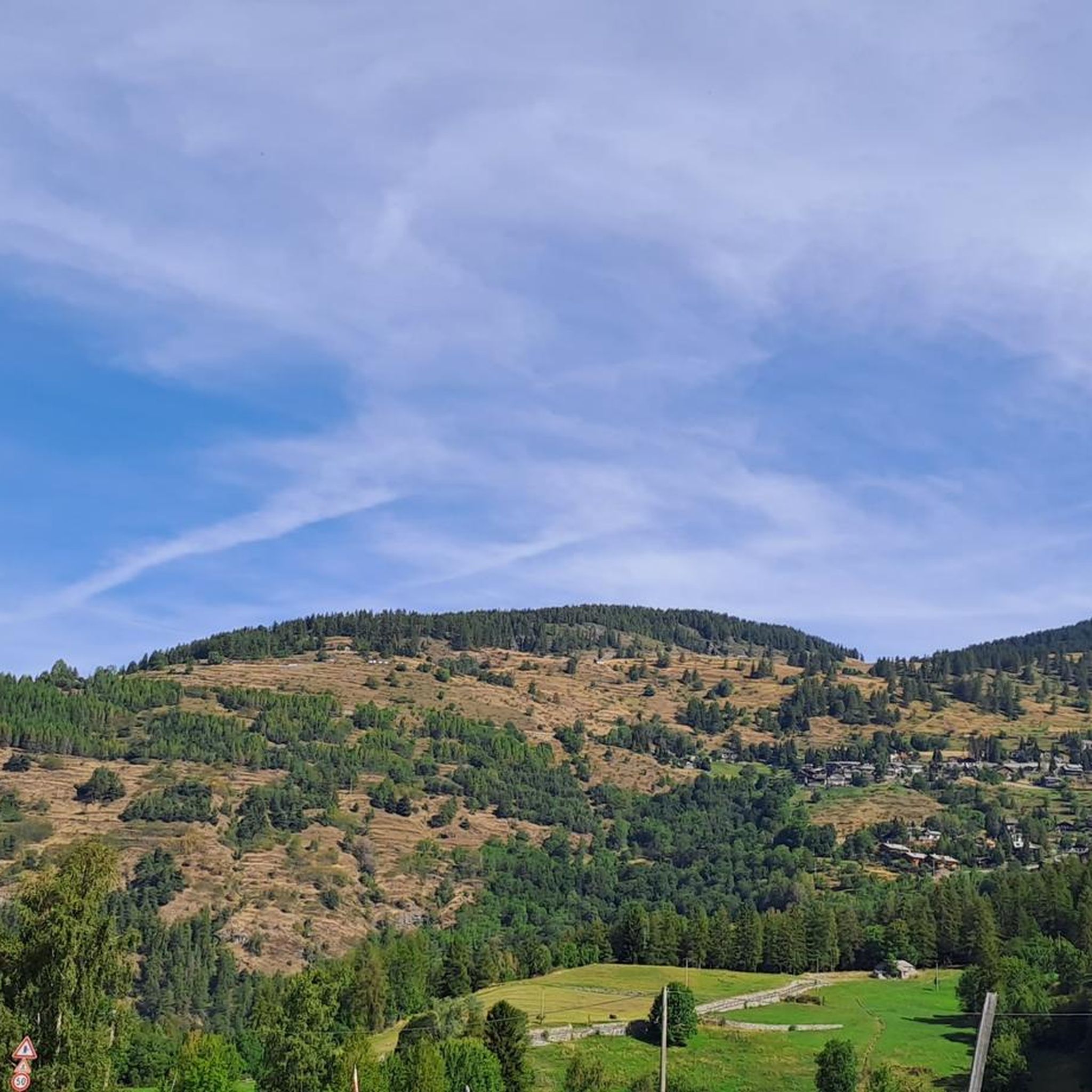
Hiking around Antey-Saint-André
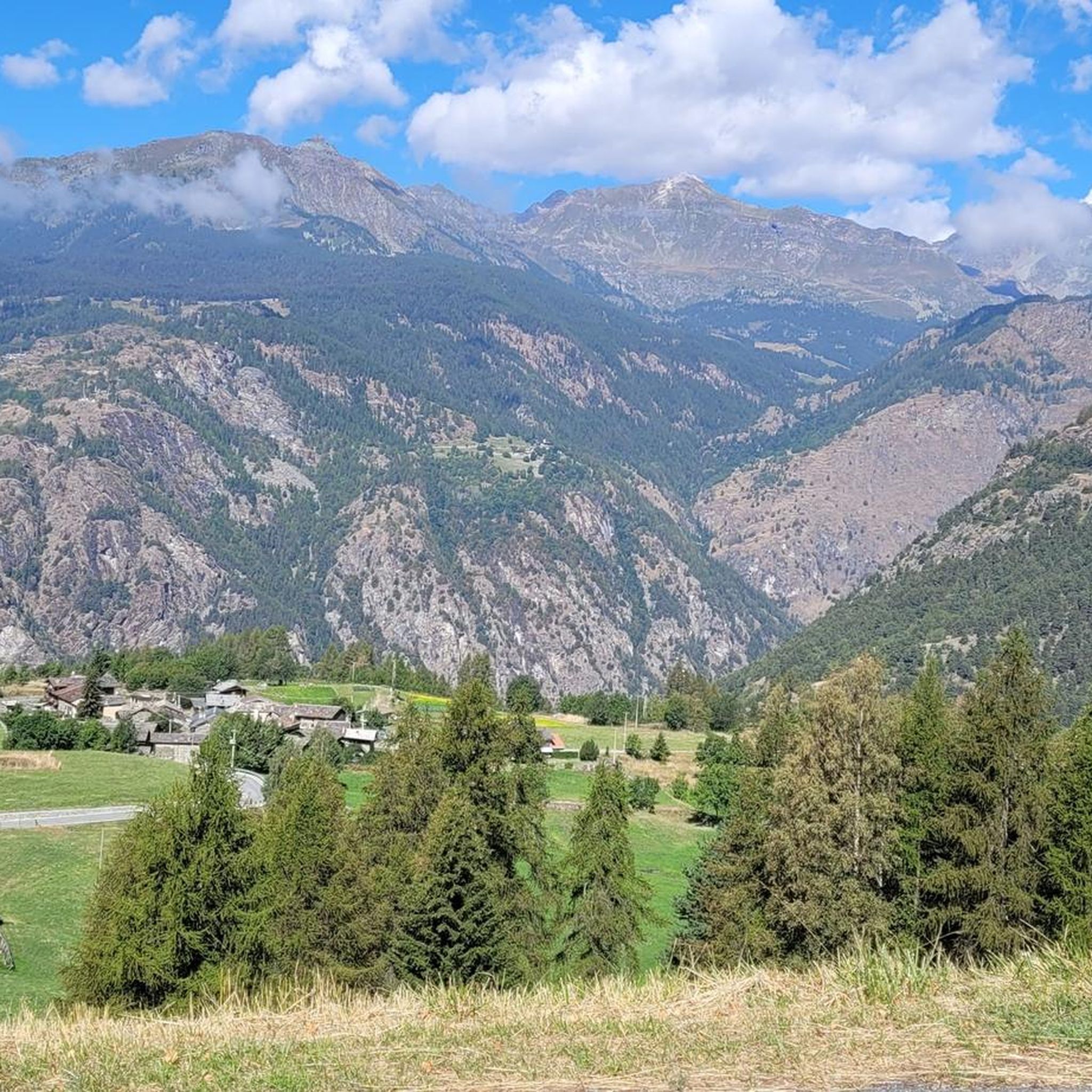
Road Cycling Routes around Antey-Saint-André
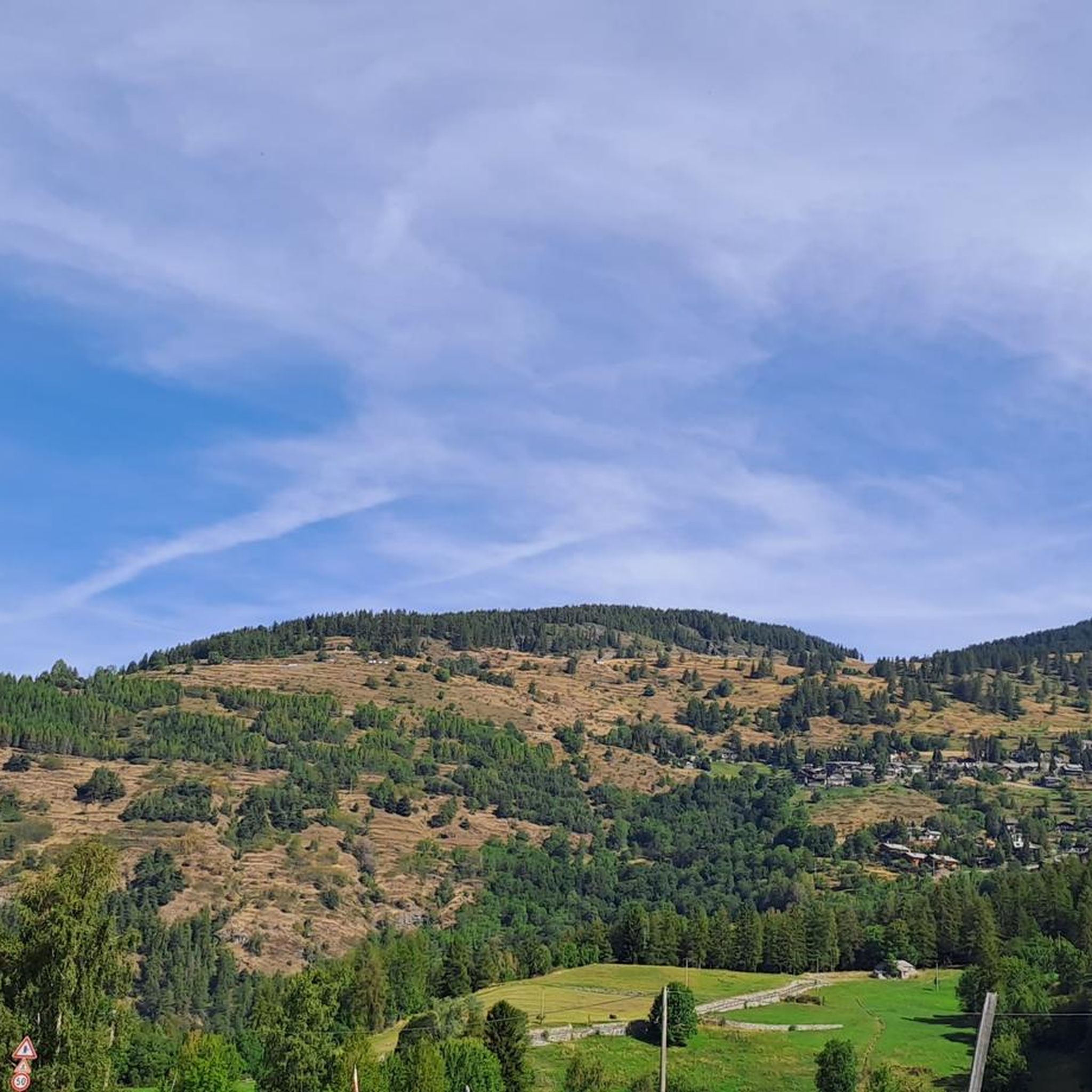
MTB Trails around Antey-Saint-André
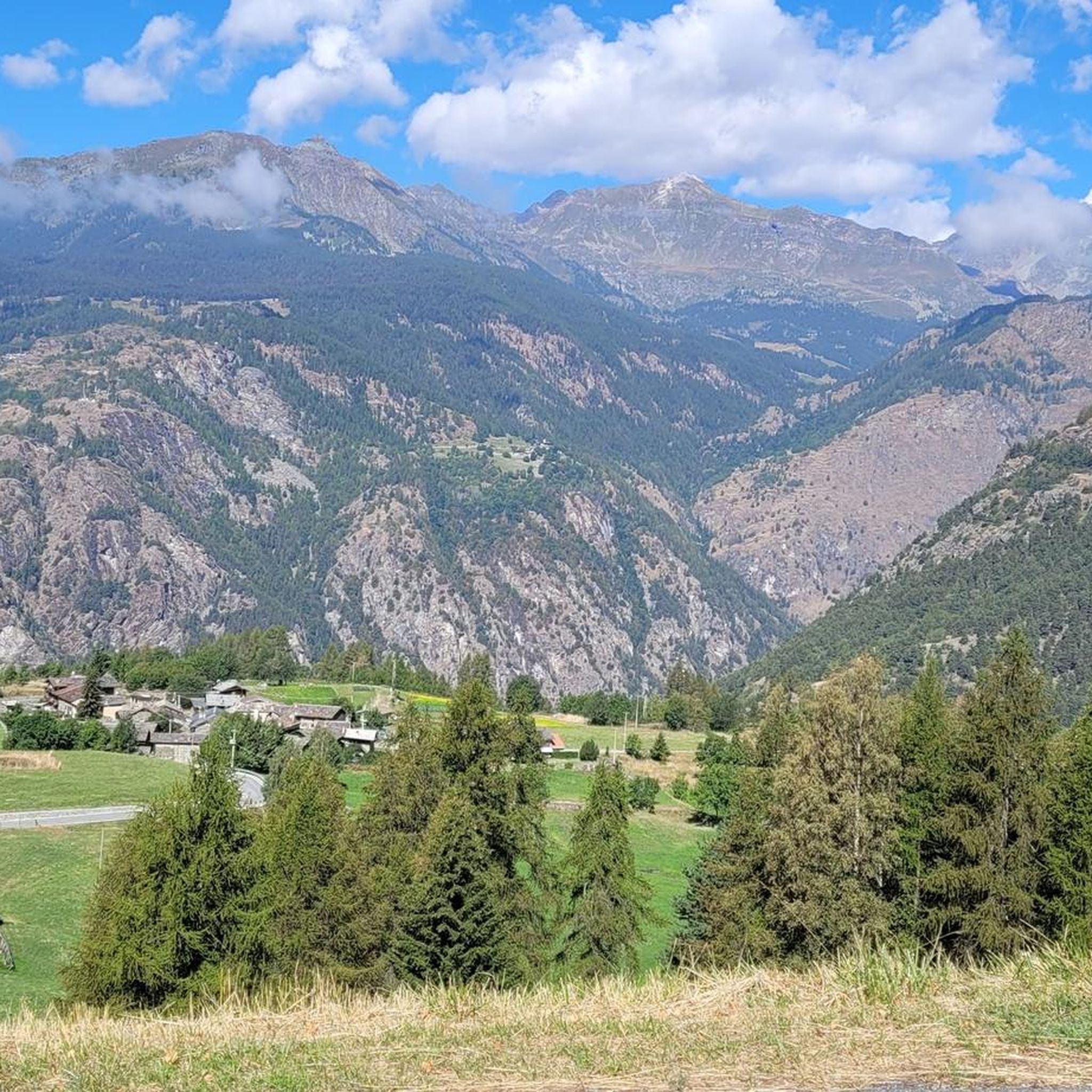
Running Trails around Antey-Saint-André

Gravel biking around Antey-Saint-André
Mountain Hikes around Antey-Saint-André


Tips from the Community

First Chambave-Pantaleon, then up to the Matterhorn. Make sure to have a rear light on your bike, as you will go through tunnels with a lot of traffic.
0
0

The Lo Ditor pond is located at an altitude of 1,900 meters. It is a flat wetland area formed by the Petit Monde stream and surrounded by larch woods. The area is classified as a Special Conservation Area due to the rarity of its habitats, including limestone springs that promote the growth of rare plants. Furthermore, this ecosystem ensures the ideal microclimate for the common frog, which chooses these shallow waters for egg-laying during the thaw.
0
0

Beautiful view of Punta Tzan and the Lo Ditor pond
0
0
The stretch is not rideable, but it's only about a hundred meters.
0
0
Beautiful view of the Matterhorn and its valley: stop here for a breathtaking panorama!
0
0

Alpe Cortina, located at 2,078 meters above sea level in the municipality of Valtournenche, is an ideal destination for mountain lovers looking for tranquility and breathtaking views.
1
0
Rifugio Jean Barmasse, at 2,169 meters above sea level in Valtournenche, is a welcoming refuge that welcomes hikers looking for tranquility and breathtaking views. Immersed in a unique natural setting, it offers a rustic and warm atmosphere, perfect for recharging your batteries after a day on trails and Alpine lakes. Its strategic position makes it an ideal starting point for exploring the wonders of Alta Via 1 and the surrounding mountains.
1
0

Making this climb to see the Matterhorn is worth it.
24
0
Frequently Asked Questions
How many touring cycling routes are available around Antey-Saint-André?
There are over 85 touring cycling routes around Antey-Saint-André. These routes vary in difficulty, offering options from moderate paths to challenging alpine ascents, all set within the stunning Aosta Valley landscape.
Are there easy or beginner-friendly touring cycling routes in Antey-Saint-André?
Yes, while many routes are challenging, there are 20 moderate and 2 easy touring cycling routes available. These typically follow valley floors or less steep paths, making them suitable for beginners or those seeking a more relaxed ride. For example, the Lo Ditor Pond loop from Mongnod is a moderate 14.4 km path that offers varied terrain and scenic views.
What kind of landscapes can I expect to see while touring cycling in Antey-Saint-André?
The region offers diverse and stunning landscapes. You'll cycle through vast meadows, lush coniferous forests, and rugged alpine peaks. Many routes provide breathtaking views of the iconic Matterhorn. You can also expect to encounter picturesque alpine lakes like Lake Lod and Lake Champlong, and cultural features such as the 16th-century Rû du Pain Perdu irrigation canal.
What are some notable attractions or points of interest along the touring cycling routes?
Beyond the natural beauty, you can discover several attractions. The area is known for its waterfalls, such as the Mascognaz Waterfall and the Waterfall with Wooden Bridge. You might also encounter the unique Busserailles Caves and Waterfall. The region's history is visible in nearby medieval castles, such as those in Châtillon, just 9 km away.
Are there any circular touring cycling routes available?
Yes, many touring cycling routes in Antey-Saint-André are designed as loops, allowing you to start and finish in the same location. Examples include the challenging Alpe Arpeille – Lo Ditor Pond loop from Mongnod and the scenic View of Forest Trail loop from Châtillon.
What is the best time of year for touring cycling in Antey-Saint-André?
The best time for touring cycling in Antey-Saint-André is typically from late spring through early autumn (May to October). During these months, the weather is generally mild, and the alpine passes are clear of snow, offering optimal conditions to enjoy the diverse terrain and stunning views. Winter cycling is possible but often requires specialized equipment and knowledge of snow conditions.
Can I find family-friendly touring cycling options in the area?
While many routes involve significant elevation, the Aosta Valley, including areas around Antey-Saint-André, offers scenic footpaths and cycle tracks suitable for various abilities. Look for routes along the valley floor or those designated as 'easy' or 'moderate' for a more relaxed family experience. The relatively flat position of Antey-Saint-André within the Valtournenche valley provides some accessible options.
What do other touring cyclists enjoy most about cycling in Antey-Saint-André?
The area is highly rated by the komoot community, with an average score of 4.6 stars from nearly 200 reviews. Reviewers often praise the majestic alpine landscapes, the frequent views of the Matterhorn, and the diverse terrain that caters to various skill levels. The combination of challenging ascents and tranquil valley rides through forests and meadows is a common highlight.
Are there opportunities for wildlife viewing along the cycling routes?
Yes, cycling through the vast meadows and dense coniferous forests of the Aosta Valley provides excellent opportunities for wildlife viewing. Keep an eye out for local fauna as you traverse the natural landscapes. The Coin Nature area, with its didactic panels, also offers insights into marsh plants and animals, which can be a point of interest during your ride.
What are the typical durations for touring cycling routes in this region?
Route durations vary significantly based on distance and difficulty. For instance, the challenging Alpe Arpeille – Lo Ditor Pond loop from Mongnod, covering 22.8 km, typically takes about 2 hours 22 minutes. A longer, more difficult route like the View of Forest Trail loop from La Magdeleine, at 44.9 km, can take over 4 hours.
Is Antey-Saint-André a good base for exploring other parts of the Aosta Valley by bike?
Absolutely. Antey-Saint-André's central location in the Valtournenche valley makes it an ideal starting point for exploring the broader Aosta Valley. You can connect to routes that lead through picturesque villages, past medieval castles, and towards historic passes like the Great St. Bernard Pass, offering a wide range of touring cycling experiences.
Most popular routes around Antey-Saint-André
Most popular attractions around Antey-Saint-André

Get inspired with the komoot mobile app


Explore more
Browse the best Cycling routes in other regions.
