The best gravel rides around Antey-Saint-André
4.8
(19)
128
riders
10
rides
Gravel biking around Antey-Saint-André offers routes through alpine landscapes and varied terrain in Italy's Aosta Valley. The region features rugged peaks, dense forests, and high-altitude landscapes, with many trails providing views of the Matterhorn. Riders can explore white roads, country tracks, and forest trails, often encountering rivers and mountain ranges. This area provides diverse options for gravel bikers seeking challenging climbs and scenic routes.
Best gravel bike trails around Antey-Saint-André
- The most popular gravel bike trail is Zerbion Cycle Path, a 30.1 miles (48.5 km) trail that takes about 4 hours 35 minutes to complete. This route winds along paths, country roads, and ancient irrigation channels.
- Another top favourite among local gravel bikers is Gravel Balcony Road – Matterhorn view in Gilliarey loop from Antey-Saint-André, a difficult 34.0 miles (54.8 km) path. This route offers extensive views of the Matterhorn and challenging alpine terrain.
- Local gravel bikers also love the Gravel Balcony Road – Matterhorn view in Gilliarey loop from Mongnod, a 16.7 miles (26.8 km) trail leading through alpine meadows and forests, often completed in about 2 hours 17 minutes.
- Gravel biking around Antey-Saint-André is defined by Matterhorn views, alpine lakes like Lake Lod, and diverse terrain including white roads and forest trails. The network offers options for both moderate and difficult ability levels.
- The routes in Antey-Saint-André are highly rated by the komoot community with an average score of 4.5 stars from more than 10 reviews. More than 100 gravel bikers have used komoot to explore Antey-Saint-André's varied terrain.
Last updated: September 26, 2026
5.0
(1)
3
riders
48.5km
04:35
1,120m
2,160m
Hard gravel ride. Very good fitness required. You may need to push your bike for some segments of this route.
38.8km
05:03
1,550m
1,020m
Hard gravel ride. Very good fitness required. You may need to push your bike for some segments of this route.

4.9
(8)
54
riders
54.8km
05:05
1,770m
1,770m
Hard gravel ride. Very good fitness required. Mostly paved surfaces. Suitable for all skill levels.
4.5
(4)
33
riders
26.8km
02:17
730m
730m
Hard gravel ride. Very good fitness required. Mostly paved surfaces. Suitable for all skill levels.
11
riders
35.5km
02:56
1,020m
1,020m
Hard gravel ride. Very good fitness required. Mostly paved surfaces. Suitable for all skill levels.
Get access to more routes and recommendations from other explorers.
Already have an account?
Our route recommendations are based on thousands of hikes, rides, and runs completed by other people on komoot.
Start today with a free account
Your next adventure awaits.
Popular around Antey-Saint-André
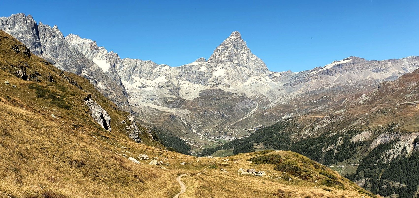
Running with the King – Great Balcony of the Matterhorn
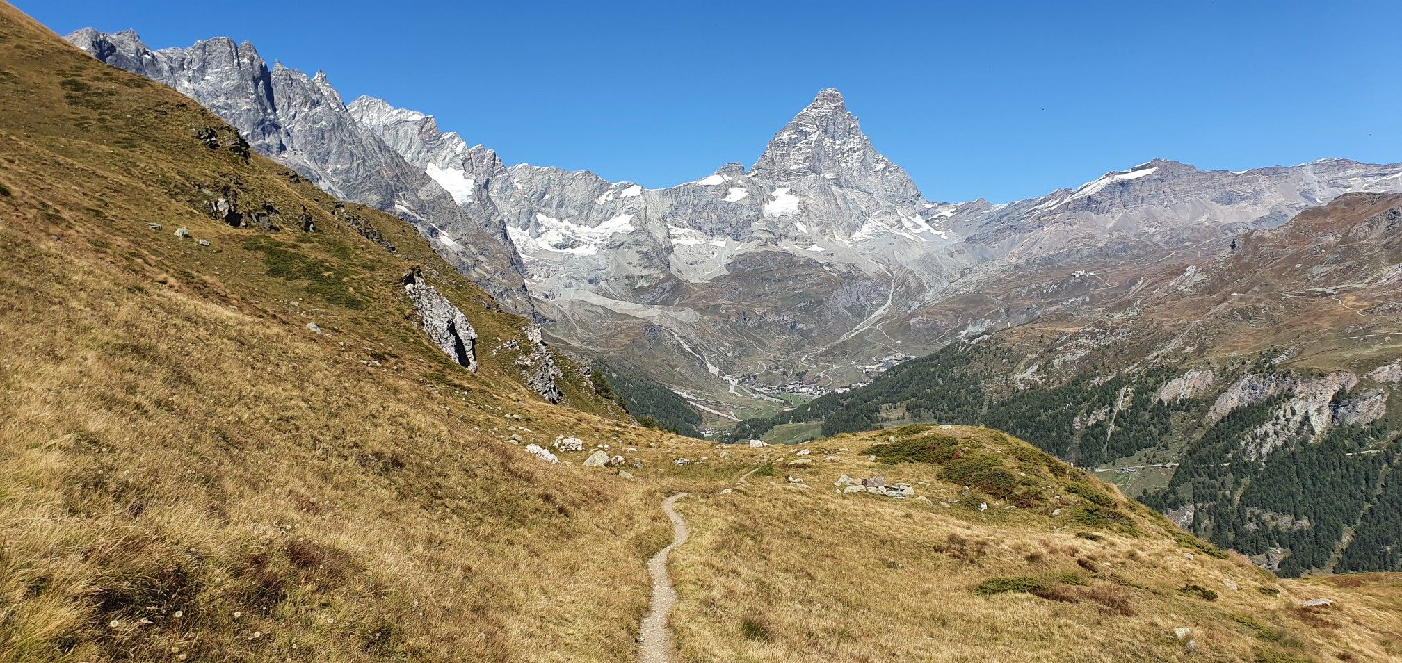
A breath away from the king — Grand Balcony of the Matterhorn
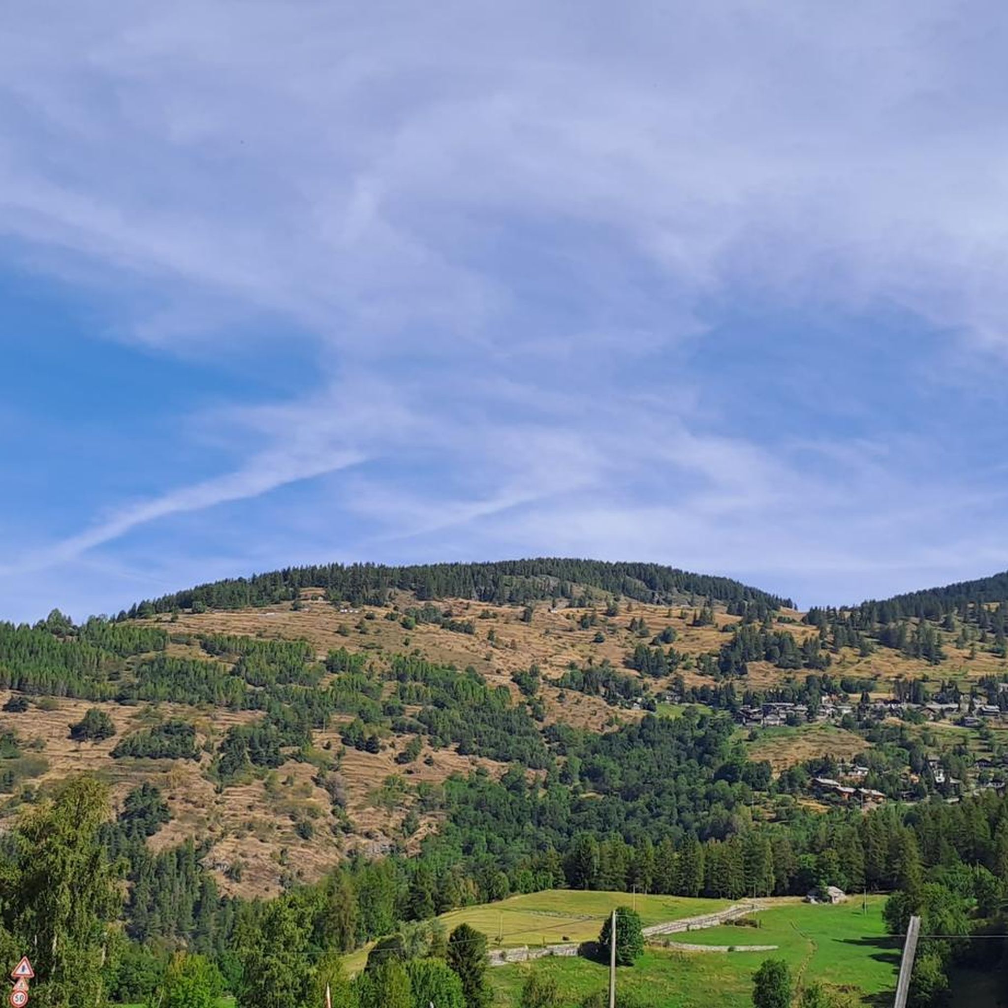
Hiking around Antey-Saint-André
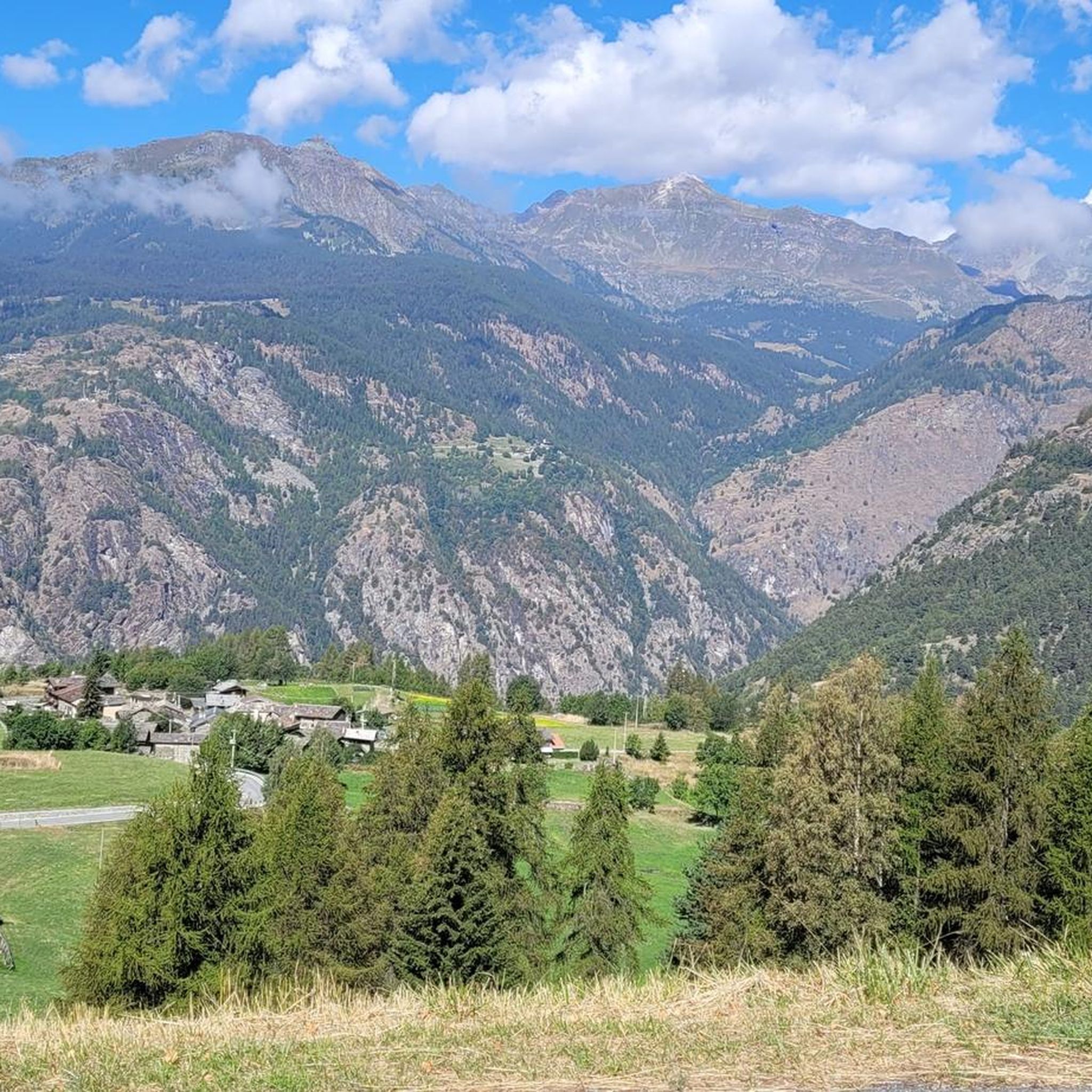
Road Cycling Routes around Antey-Saint-André
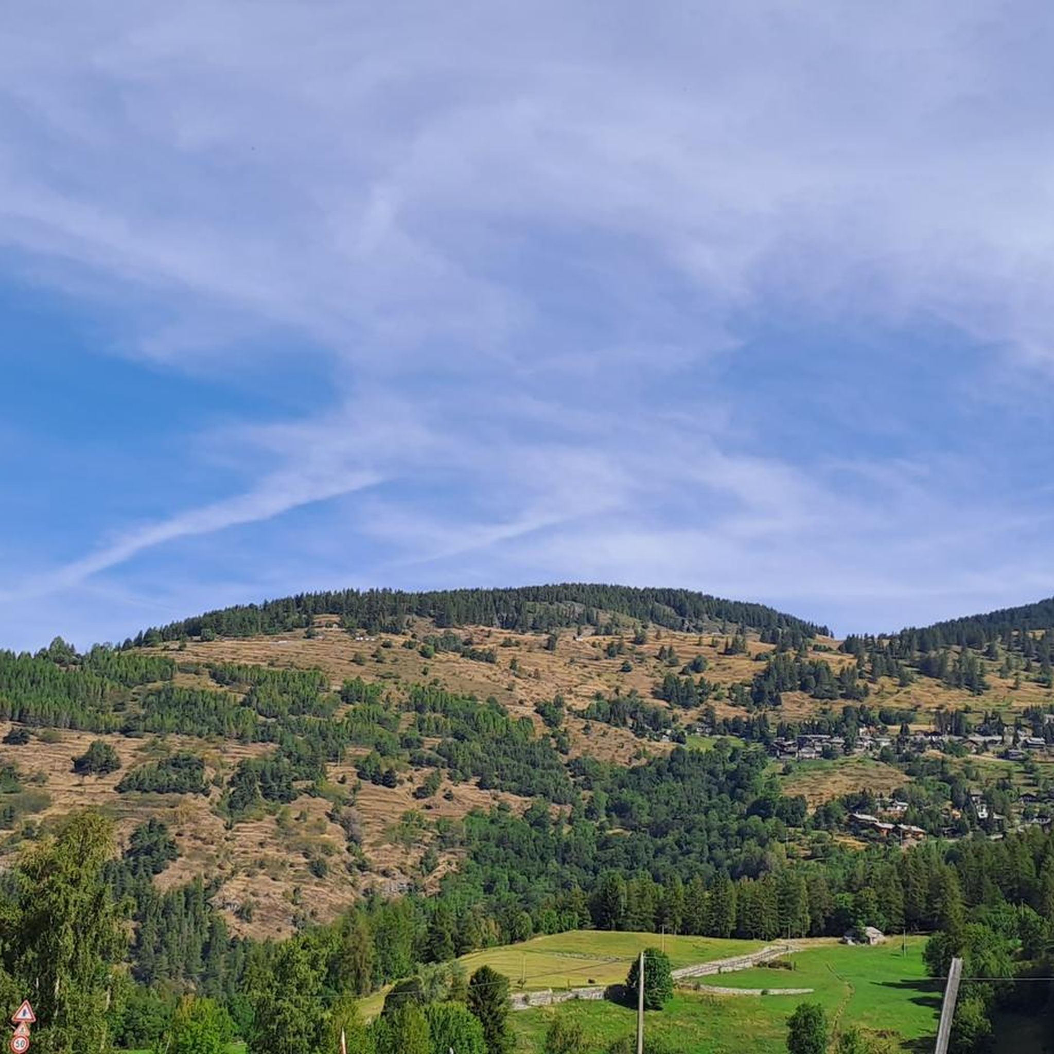
MTB Trails around Antey-Saint-André
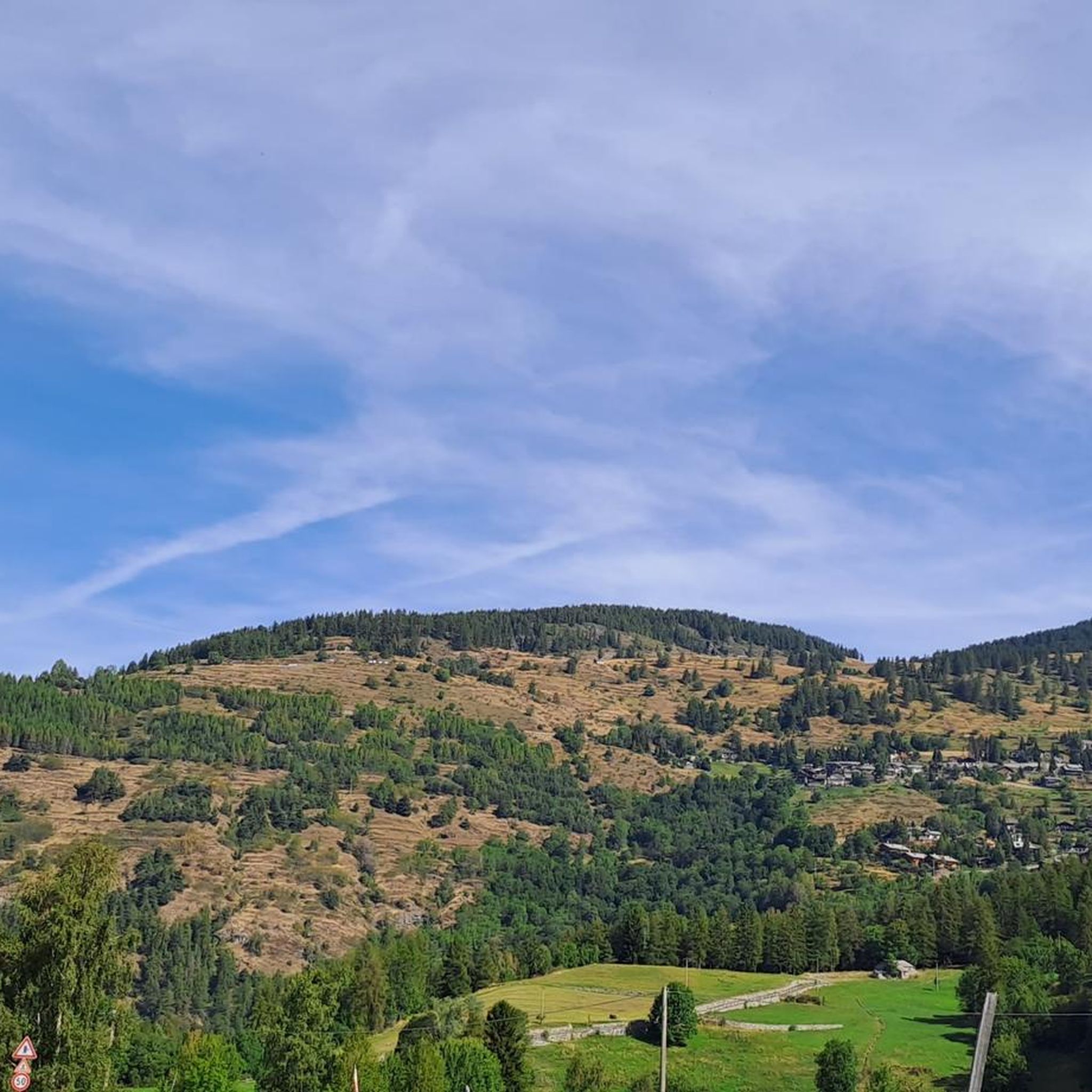
Cycling around Antey-Saint-André
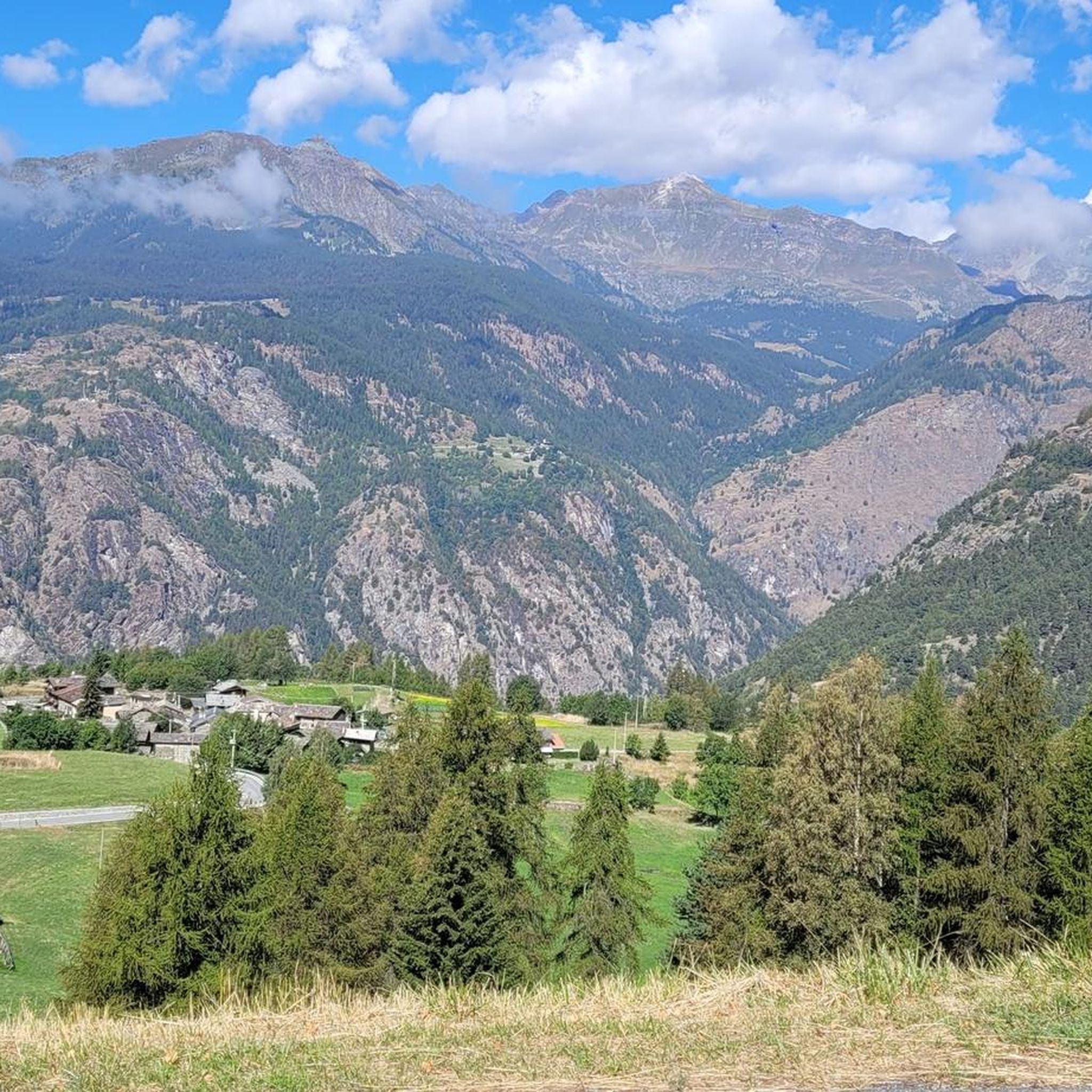
Running Trails around Antey-Saint-André
Mountain Hikes around Antey-Saint-André


Tips from the Community

Beautiful hike to do in the not too hot months because of a stretch uphill outside the woods. Very clean and well-marked trail.
0
0

The Lo Ditor pond is located at an altitude of 1,900 meters. It is a flat wetland area formed by the Petit Monde stream and surrounded by larch woods. The area is classified as a Special Conservation Area due to the rarity of its habitats, including limestone springs that promote the growth of rare plants. Furthermore, this ecosystem ensures the ideal microclimate for the common frog, which chooses these shallow waters for egg-laying during the thaw.
0
0

The Gorza mountain pasture and lake are an ideal destination for those seeking a scenic walk immersed in nature. The mountain pasture offers vast pastures and splendid views of the surrounding mountains, while the nearby alpine lake offers a quiet haven perfect for a relaxing break.
1
0
The Zerbion Cycle Route is a roughly 48 km route offering spectacular views of the mid-Aosta Valley, through woods, meadows, and small Alpine villages. It follows forest trails and paths.
2
0

ski area, even in summer it's a postcard
0
0

Beautiful. You can't reach the chapel by bike. You have to leave it on the path and walk there, as it's in a private area with no access allowed.
0
0

Beautiful view of Punta Tzan and the Lo Ditor pond
0
0

Buisson Chamois municipal cableway
0
0
Frequently Asked Questions
How many gravel bike trails are there in Antey-Saint-André?
There are over 15 gravel bike trails available around Antey-Saint-André, offering a variety of experiences through alpine landscapes and diverse terrain. Most of these routes are considered difficult, with a couple of moderate options.
What kind of terrain can I expect on gravel bike trails in Antey-Saint-André?
The trails in Antey-Saint-André feature diverse terrain, including rugged peaks, dense forests, and high-altitude landscapes. You'll encounter white roads, country tracks, and forest trails, often with stunning views of the Matterhorn and winding alongside rivers and ancient irrigation canals.
Are there any family-friendly or easier gravel biking options in Antey-Saint-André?
While many routes are challenging, there are some moderate options available. The region's diverse network includes paths, country roads, and forest tracks that can be suitable for various skill levels. For a more moderate experience, consider routes that traverse alpine meadows with Matterhorn views, such as the 24.1 km trail near the Mazod Alpaca and Llama Farm mentioned in regional research.
What are some scenic viewpoints or natural attractions along the gravel bike trails?
Many trails offer expansive views of the iconic Matterhorn. You can also discover picturesque alpine lakes like Lake Lod and Lake Champlong. For specific highlights, consider visiting Cignana Window for panoramic vistas or exploring the Saint-Barthélemy Valley.
Are there any waterfalls or gorges I can visit while gravel biking?
Yes, the region features several natural wonders. You can find the Busserailles Caves and Waterfall, or the Freideron Stream Waterfalls. The Curtod Valley also offers impressive gorge scenery.
What do other gravel bikers enjoy most about Antey-Saint-André?
The gravel biking routes in Antey-Saint-André are highly rated by the komoot community, with an average score of 4.5 stars from over 10 reviews. Riders frequently praise the stunning Matterhorn views, the varied alpine landscapes, and the immersive experience of riding through forests and along ancient irrigation channels.
Are there any circular gravel bike routes in the area?
Yes, many of the gravel bike trails in Antey-Saint-André are designed as loops. For example, the challenging Gravel Balcony Road – Matterhorn view in Gilliarey loop from Antey-Saint-André is a 54.8 km circular path offering extensive Matterhorn views. Another option is the View of the Matterhorn – Former Cervino Railway loop from Valtournenche.
How long do gravel bike trails in Antey-Saint-André typically take to complete?
The duration varies significantly by route and your pace. For instance, the Zerbion Cycle Path, which is 48.5 km, typically takes about 4 hours and 35 minutes. A shorter route like the Gravel Balcony Road – Matterhorn view in Gilliarey loop from Mongnod (26.8 km) can be completed in around 2 hours and 17 minutes.
What is the best time of year for gravel biking in Antey-Saint-André?
The Aosta Valley, including Antey-Saint-André, is generally best for outdoor activities from late spring through early autumn. During these months, the weather is more favorable, and trails are typically free of snow, allowing for optimal gravel biking conditions and access to high-altitude areas.
Are there any historical features to explore on the gravel bike routes?
Yes, the region is rich in history. You might encounter ancient irrigation canals, known as 'Rû', such as the 16th-century 'Rû du pain perdu' with its majestic arches, which add a unique character to the landscape and can be part of your biking exploration.
Are there any mountain passes accessible by gravel bike?
Yes, the area around Antey-Saint-André features several mountain passes. You could explore routes that lead to passes like Col de Joux or Fontaines Pass, offering challenging climbs and rewarding views.
What kind of views can I expect on the gravel trails?
The trails consistently offer breathtaking alpine scenery. A major highlight is the frequent and expansive views of the iconic Matterhorn. You'll also enjoy vistas of rugged peaks, dense forests, and high-altitude landscapes, often with picturesque alpine lakes like Lake Lod and Lake Champlong.
Most popular routes around Antey-Saint-André
Most popular attractions around Antey-Saint-André

Get inspired with the komoot mobile app


Explore more
Browse the best Gravel rides in other regions.
