The best MTB trails around Valsavarenche
4.5
(575)
6,091
riders
11
rides
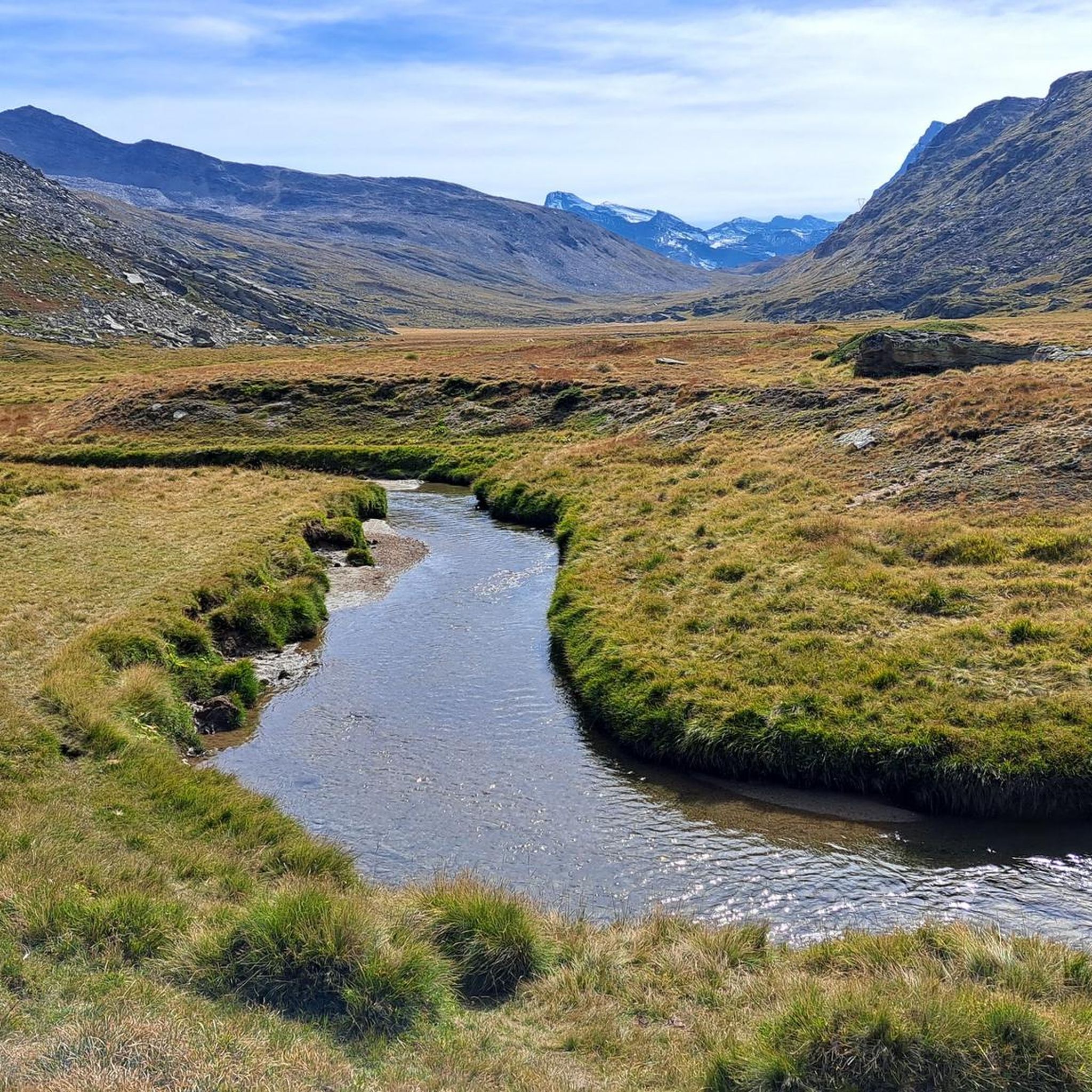
Mountain biking around Valsavarenche offers routes through an alpine valley characterized by high peaks, glacial lakes, and dense forests. The terrain includes challenging climbs to mountain passes and descents through varied landscapes. This region, part of the Gran Paradiso National Park, provides a setting for mountain bike trails that traverse both open meadows and wooded areas.
Best mountain bike trails around Valsavarenche
- The most popular mountain bike trail is Salita al Lago Djouan da Eaux Rousses, a 11.9 miles…
Last updated: July 5, 2026
4.7
(7)
85
riders
19.1km
03:24
1,030m
1,030m
Hard mountain bike ride. Very good fitness required. Advanced riding skills necessary. Some portions of the route may require you to push your bike.
3.7
(3)
14
riders
24.8km
02:55
990m
990m
Hard mountain bike ride. Very good fitness required. Advanced riding skills necessary. Some portions of the route may require you to push your bike.

Sign up for free
4.8
(8)
68
riders
18.5km
02:26
820m
820m
Hard mountain bike ride. Good fitness required. Advanced riding skills necessary. Some portions of the route may require you to push your bike.
5.0
(6)
27
riders
17.3km
02:06
730m
730m
Moderate mountain bike ride. Good fitness required. Suitable for all skill levels.
4.8
(5)
23
riders
23.2km
02:43
890m
890m
Moderate mountain bike ride. Good fitness required. Suitable for all skill levels.
Get access to more routes and recommendations from other explorers.
Sign up for free
Already have an account?
Our route recommendations are based on thousands of hikes, rides, and runs completed by other people on komoot.
Start today with a free account
Your next adventure awaits.
Login or Signup
Popular around Valsavarenche
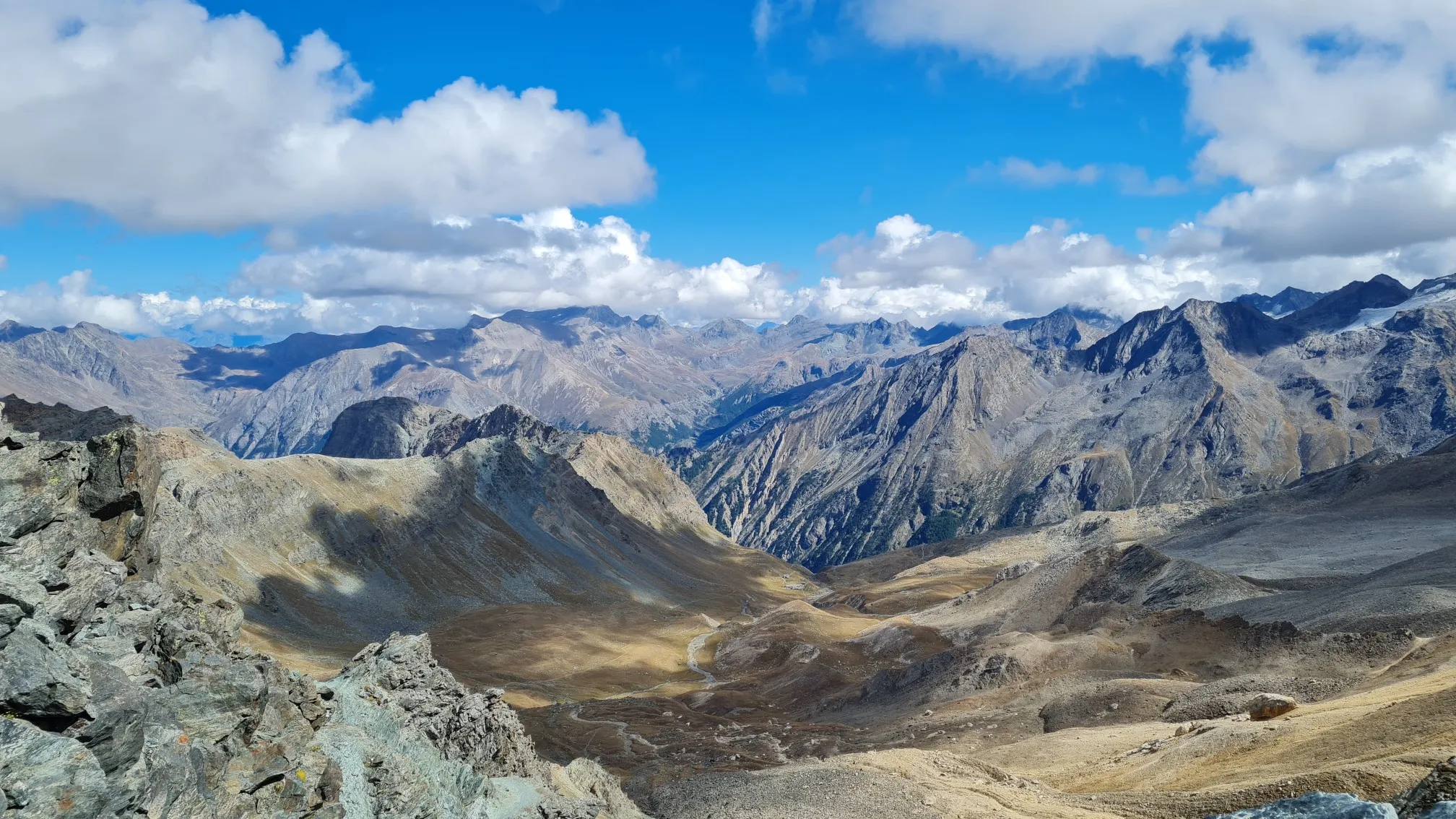
Giro del Gran Paradiso – A trail running adventure in the Italian Alps
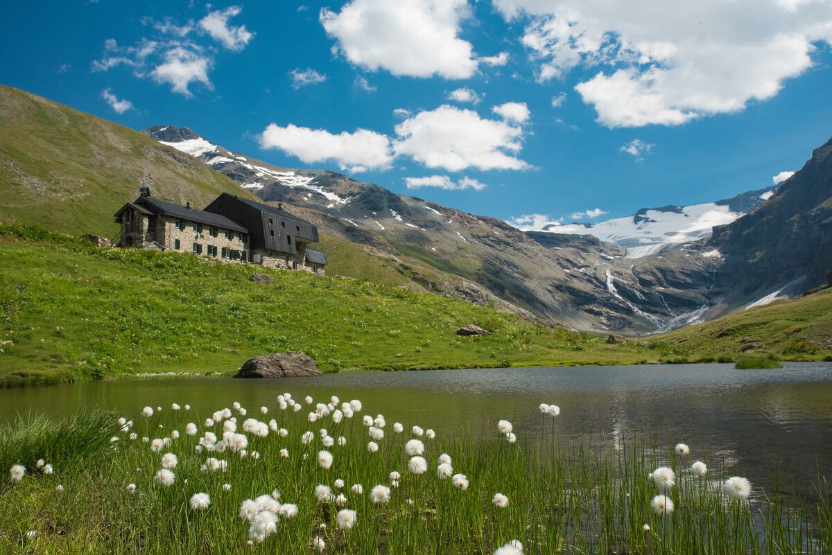
Hiking to the Aosta Valley’s mountain huts: 10 beautiful trails

Alta Via n. 2 of the Aosta Valley — high peaks and beautiful valleys in Italy
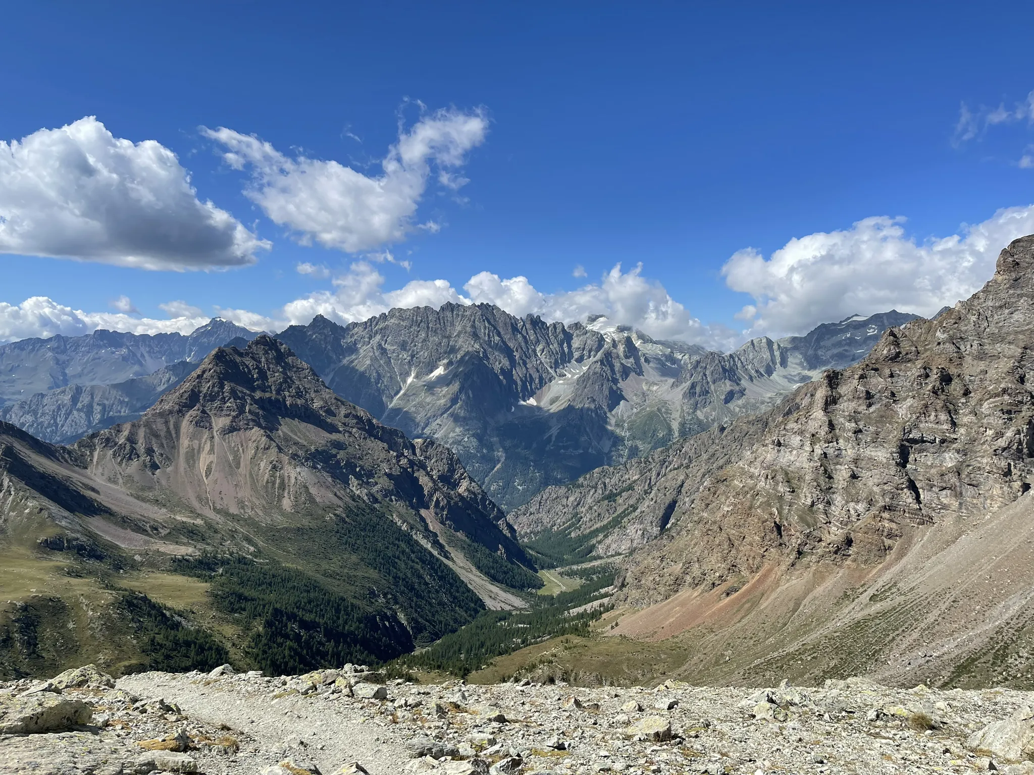
Running between the giants of the Alps – Tor des Géants
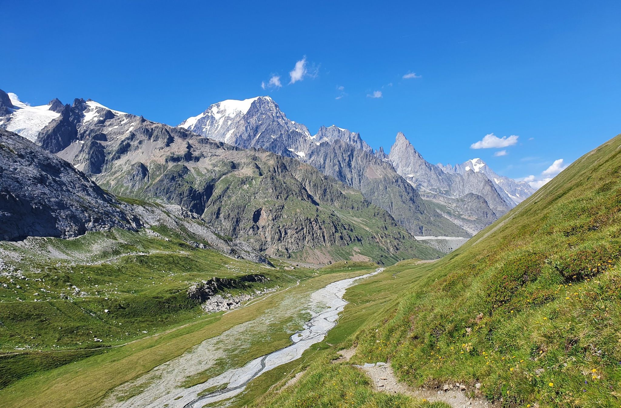
High peaks and beautiful valleys in Italy – Aosta Valley’s Alta Via Trail 2
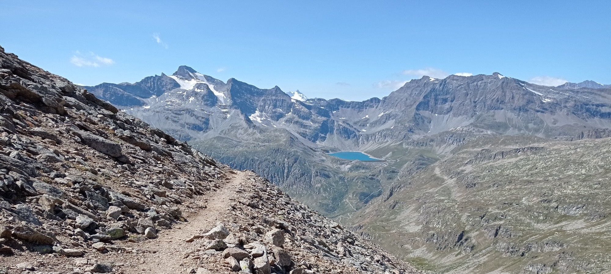
Giroparco Gran Paradiso – walking in Italy's first national park
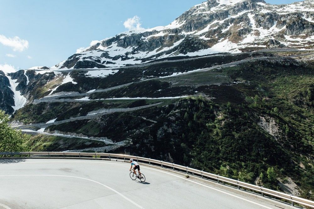
Off to the clouds on slick asphalt
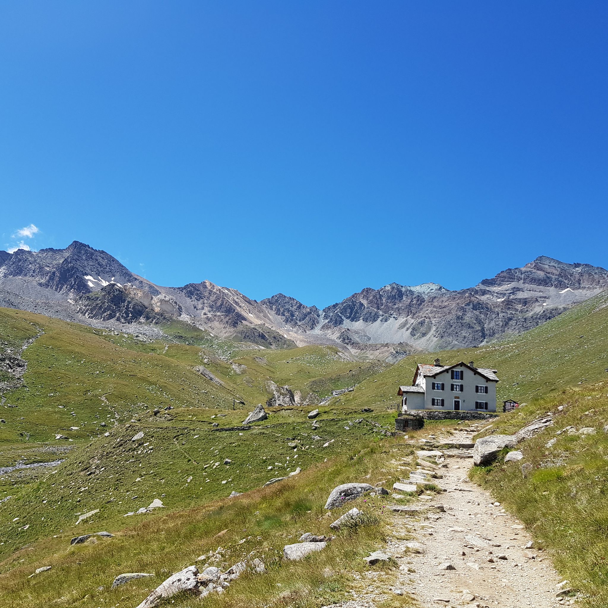
Hiking around Valsavarenche
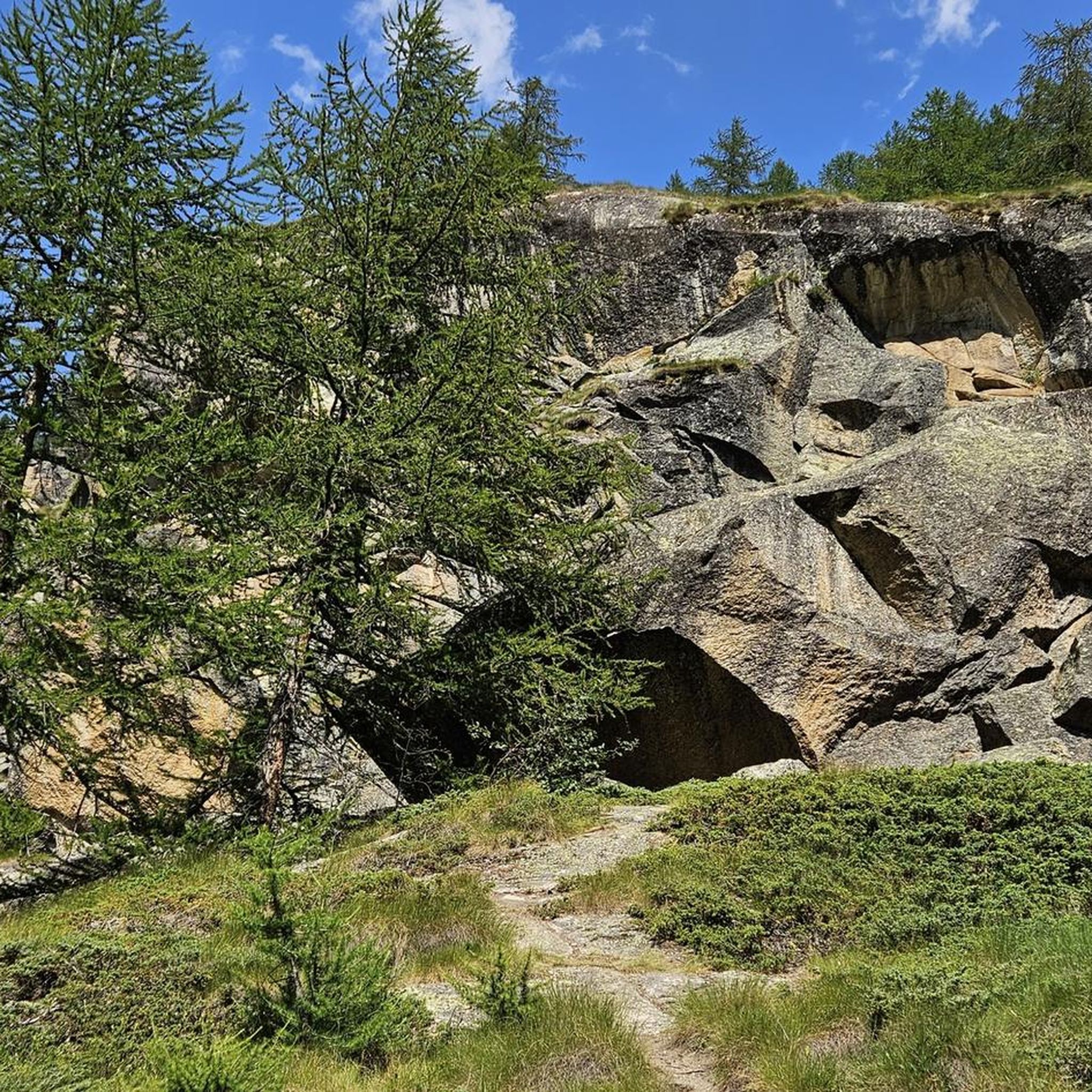
Cycling around Valsavarenche
Running Trails around Valsavarenche
Other adventures around Valsavarenche


Tips from the Community

https://youtu.be/4A6m8uLVATk?si=WmmiNwcUUTwZE1Qk Everyone would say it's a high plateau. Apart from the Rifugio Savoia, there's nothing here.
0
0

Colorful waterfall
0
0

At an altitude of 2625 metres, Colle del Nivolet marks the border between Piedmont and Valle d'Aosta. Going up from Ceresole Reale the road is entirely asphalted and therefore quite busy. Spectacular views 🤩🏔️
2
0

This wonderful plateau is located in the Gran Paradiso National Park and is home to an old Royal Hunting House. Around this property you can easily spot marmots, ibex, chamois and other wild animals. Most of the trails in this area are small, well-maintained single tracks. They are free of particular technical difficulty and easy to cover while running.
2
0

Quiet ride to see the valley from another perspective
1
0

Dégioz is a small village in the heart of Valsavarenche at more than 1500 meters above sea level, in the Gran Paradiso National Park. It is a village rich in history and beauty, and the ideal place for lovers of nature and outdoor excursions, both in season and in winter.
0
1

Fantastic valley - S0 cycle path
0
0
At the beginning there is an old road that is wonderful to drive on. When this is off you have to carry the bike mainly uphill. After about 150 meters we gave up and turned back. Beautiful view but not recommended for bikes
2
0
Frequently Asked Questions
How many mountain bike trails are available in Valsavarenche?
Valsavarenche offers a wide selection of mountain bike trails, with over 120 routes available for exploration. These trails cater to various skill levels, from easy to difficult.
Are there mountain bike trails suitable for beginners or families in Valsavarenche?
Yes, Valsavarenche has options for less experienced riders and families. There are 11 easy trails and 27 moderate trails. While specific family-friendly routes are not highlighted, the easier trails generally offer a more accessible experience. For a moderate option, consider the Mountainbike loop from Dégioz, which is 8 miles (12.9 km) long.
What is the best time of year for mountain biking in Valsavarenche?
The best time for mountain biking in Valsavarenche is typically from late spring to early autumn (June to September). During these months, the alpine passes are generally clear of snow, and the weather is more stable, offering ideal conditions for exploring the high-altitude trails and forested paths.
Can I find circular mountain bike routes in Valsavarenche?
Yes, Valsavarenche features several circular mountain bike routes. A popular option is the Mont Paillasse Loop from Rhêmes-Saint-Georges, which is a challenging 11.8 miles (19.0 km) path exploring varied terrain. Another is the Da Le Breuil al Nivolet – giro ad anello, a 15.4 miles (24.8 km) trail through high mountain passes.
Are there any waterfalls to see along the mountain bike trails in Valsavarenche?
Yes, the Valsavarenche region is home to beautiful waterfalls that can be incorporated into your mountain biking adventures. Notable waterfalls include the Lillaz Waterfalls and the Second Waterfall of Lillaz. You can also find the Noasca Waterfall nearby.
What kind of wildlife might I encounter while mountain biking in Valsavarenche?
As part of the Gran Paradiso National Park, Valsavarenche offers excellent opportunities for wildlife spotting. While mountain biking, you might encounter chamois, ibex, marmots, and various bird species. Maintaining a respectful distance and observing from afar is encouraged to preserve their natural habitat.
Are there mountain huts or cafes accessible from the trails in Valsavarenche?
Yes, several mountain huts are located within reach of the trails, offering places to rest or refuel. Examples include the Vittorio Emanuele II Hut, Vittorio Sella Hut, and Rifugio G. Federico Benevolo. These huts often provide food and drink services during the open season.
What is the typical duration for mountain bike trails in Valsavarenche?
Trail durations in Valsavarenche vary significantly based on difficulty and length. For example, the challenging Salita al Lago Djouan da Eaux Rousses, at 11.9 miles (19.1 km), typically takes around 3 hours 23 minutes. Shorter, moderate routes like the Mountainbike loop from Dégioz can be completed in about 1 hour 45 minutes.
What do other mountain bikers say about the trails in Valsavarenche?
The mountain bike trails in Valsavarenche are highly regarded by the komoot community, holding an average rating of 4.5 stars from over 600 reviews. Riders frequently praise the stunning alpine scenery, the variety of terrain, and the challenging climbs that lead to rewarding panoramic views.
Is public transport available to access mountain bike trails in Valsavarenche?
Valsavarenche is a valley within the Gran Paradiso National Park. While public transport options exist within the Aosta Valley, direct access to all trailheads via public transport might be limited. It's advisable to check local bus schedules for connections to the main villages within Valsavarenche, from where many trails begin.
Are there parking facilities available for mountain bikers in Valsavarenche?
Yes, parking facilities are generally available in the main villages and at popular trailheads throughout Valsavarenche. Look for designated parking areas in towns like Dégioz or Eaux Rousses, which serve as starting points for many mountain bike routes. Some parking may be paid, especially during peak season.
What are some challenging mountain bike trails in Valsavarenche for experienced riders?
Valsavarenche offers numerous challenging trails for experienced mountain bikers, with 84 routes rated as difficult. The Salita al Lago Djouan da Eaux Rousses is a difficult 11.9 miles (19.1 km) trail ascending to a high-altitude lake. Another demanding option is the Rifugio G. Federico Benevolo – Dora di Rhêmes Waterfall loop from Frassiney, a 24-mile (38.6 km) difficult route.
Most popular routes around Valsavarenche
Most popular attractions around Valsavarenche

Get inspired with the komoot mobile app


Explore more
Browse the best MTB trails in other regions.
