The best walks and hikes around Valsavarenche
4.7
(3244)
23,353
hikers
115
hikes
Hiking around Valsavarenche, located within Italy's Gran Paradiso National Park, offers diverse landscapes for outdoor enthusiasts. The region is dominated by the Gran Paradiso Massif, featuring glaciers, granite rocks, and alpine meadows. Valsavarenche itself is a narrow valley characterized by wooded slopes, larch forests, and open spaces with alpine flowers. Hikers can also find numerous alpine lakes and the Nivolet Plateau, known for its unique high-altitude environment.
Best hiking trails around Valsavarenche
- The most popular hiking route is Trail to Montcorvé Lakes, a moderate 4.8 miles (7.7 km) trail that takes about 3 hours 30 minutes to complete. This path leads to scenic alpine lakes, offering views of the surrounding peaks.
- Another top favourite among local hikers is Chabod and Vittorio Emanuele II Huts Loop, a difficult 10.5 miles (16.8 km) path. This route traverses lush valleys and pristine alpine landscapes, connecting two prominent mountain huts.
- Local hikers also love the Historic Trail 3 through Nivolet Plateau, Gran Paradiso, a 10.6 miles (17.0 km) trail leading through the high-altitude Nivolet Plateau, often completed in about 6 hours 30 minutes.
- Hiking around Valsavarenche is defined by the majestic Gran Paradiso Massif, dense larch forests, alpine meadows, and numerous alpine lakes. The extensive network of routes offers options for easy walks, moderate excursions, and challenging mountaineering.
- The routes in Valsavarenche are highly rated by the komoot community with an average score of 4.6 stars from over 2,500 reviews. More than 19,000 hikers have used komoot to explore Valsavarenche's varied terrain.
Last updated: October 4, 2026
4.8
(179)
2,634
hikers
7.70km
03:30
500m
500m
Embark on the Trail to Montcorvé Lakes, a moderate hike covering 4.8 miles (7.7 km) with an elevation gain of 1632 feet (497 metres). You can expect to complete this route in about 3 hours and 30 minutes. The path winds through beautiful larch forests, offering scenic views of the Aosta Valley within Gran Paradiso National Park. Eventually, the trail opens into a wide green glade where you will find the historic Rifugio Tètras Lyre, a long stone hut situated at about 2000 meters above sea level. Informative signposts guide your way, and benches provide spots to rest and enjoy the surroundings.
To begin your hike, the trailhead is conveniently located about a 15-minute walk from Pont Valsavarenche square. You will likely find parking available in this area. The Rifugio Tètras Lyre serves as a popular hub for climbers exploring Gran Paradiso and offers amenities, including a restaurant known for its risotto and other local specialties. Consider planning your visit to enjoy a meal or a break at the rifugio.
This route offers a rewarding experience within the stunning Gran Paradiso National Park. The historic Rifugio Tètras Lyre is not just a landmark; it is a vibrant gathering point for outdoor enthusiasts. The trail provides a great opportunity to immerse yourself in the natural beauty of the Aosta Valley, combining forest paths with open glades and mountain views.
4.7
(157)
1,054
hikers
16.8km
07:21
1,050m
1,060m
The Chabod and Vittorio Emanuele II Huts Loop is a difficult hike that takes you through varied alpine landscapes. You'll cover 10.5 miles (16.8 km) and climb 3454 feet (1053 metres) in about 7 hours and 20 minutes. Expect to move through fragrant larch and stone pine forests, open meadows, and rocky sections. You'll cross wild streams and traverse detritic basins, all while enjoying views of the Gran Paradiso Glaciers. The traverse between the two huts, especially near Lake Moncorvé, is particularly scenic.
This demanding hike requires very good fitness and sure-footedness. Make sure you have sturdy shoes and some alpine experience before you go. The best time to hike this route is typically between June and September. If you are less experienced with challenging alpine terrain, consider going with a guided tour. Plan to start early to allow ample time for the 7-hour and 20-minute duration.
This challenging loop connects two iconic mountain refuges within Gran Paradiso National Park. The route offers a rewarding alpine adventure, showcasing the park's diverse ecosystems. You'll experience everything from dense forests to high-altitude rocky environments. The striking views of the Gran Paradiso Glaciers and the north-western wall of Gran Paradiso are a highlight.

4.8
(146)
721
hikers
17.0km
06:33
620m
610m
Prepare for a challenging hike on Historic Trail 3 through the Nivolet Plateau, a difficult route spanning 10.6 miles (17.0 km) with a significant 2025 feet (617 metres) of elevation gain. This journey typically takes around 6 hours and 33 minutes to complete. You will begin by ascending through larch woods and rocky crags, eventually reaching the panoramic viewpoint at Croce Roley. From there, the landscape opens up to the vast, serene Nivolet plateau, where a clear stream meanders through the valley. The trail offers a sense of remote alpine beauty, with opportunities to spot local wildlife.
To start this adventure, you will find the trailhead conveniently located near the parking area in Pont. Given the trail's duration and difficulty, it is advisable to begin your hike early in the morning to allow ample time for completion before dusk. Always check local conditions and weather forecasts before heading out, especially in an alpine environment. While specific permits are not mentioned, ensure you are aware of any national park regulations for Gran Paradiso.
This route offers a unique blend of natural beauty and cultural history within one of Europe's oldest national parks. As you traverse the Dora del Nivolet valley, keep an eye out for chamois and marmots, which are common inhabitants of this area. You will also pass by the remains of old shepherd settlements, providing a glimpse into the valley's pastoral heritage. The crystal-clear mountain stream feeds the highest peat bog in Europe, creating a special habitat for various plant species and the European common frog.
4.8
(145)
675
hikers
17.1km
06:16
630m
630m
Embark on the Sentiero Italia: Croce della Roley Loop, a difficult hiking route that takes you through the stunning alpine landscapes of Gran Paradiso National Park. This challenging 10.6-mile (17.1 km) journey involves a significant 2081-foot (634 metres) elevation gain, requiring about 6 hours and 15 minutes to complete. From the Croce della Roley, you'll be treated to panoramic views of the valley and the majestic Gran Paradiso massif. The route then descends into the beautiful Nivolet Valley, where clear streams and wide plateaus lead you to the intense blue waters of the Nivolet Lakes, including Lake Serrù and Lake Agnel.
When planning your visit, be aware that this is a high-altitude hike, so you should expect cooler temperatures and potentially thinner air. Snow might still be present in some areas, even outside of winter. The road to Colle del Nivolet, which provides access to parts of this trail, has specific opening dates each year. Always check local conditions and road access before you go, especially regarding the Nivolet road's seasonal availability.
This loop offers a unique opportunity to experience the wild beauty of the Nivolet Valley, a place known for its rich biodiversity. Keep an eye out for local wildlife such as marmots and chamois, particularly during late autumn when they are more active. The trail's path through this protected area highlights the importance of preserving these delicate alpine ecosystems.
4.8
(100)
539
hikers
13.7km
06:31
930m
930m
Embark on a difficult 8.5-mile (13.7 km) hike from Nivolet Lakes to Taou Blanc, gaining 3044 feet (928 metres) in elevation over approximately 6 hours and 30 minutes. Starting from the Nivolet Pass, you will first encounter the unique alluvial landscape of the Plan du Nivolet, dotted with crystal-clear lakes like Lake Rosset, known for its distinctive islet. As you ascend, the green pastures give way to a more rugged, stony terrain, often described as a lunar landscape, leading to the summit of Taou Blanc.
This challenging route requires very good fitness, sure-footedness, and alpine experience, as it involves technical sections, fine detritus, and scree. You might encounter snowfields even into July at higher altitudes, so check conditions and be prepared; specialist equipment like ice axes and crampons could be necessary. The best time to undertake this hike is typically from June to October, when the starting point at Nivolet Pass is accessible by road.
From the 3,438-meter summit of Taou Blanc, you are rewarded with an expansive 360-degree panorama, offering views of the Gran Paradiso massif, Mont Blanc, the Matterhorn, and the Combin group. Located within Italy's oldest national park, the trail traverses diverse ecosystems, from aquatic landscapes to stark high-altitude rock formations. Keep an eye out for rich flora and fauna, including ibexes, in this protected natural environment.
Get access to more routes and recommendations from other explorers.
Already have an account?
Our route recommendations are based on thousands of hikes, rides, and runs completed by other people on komoot.
Start today with a free account
Your next adventure awaits.
Popular around Valsavarenche
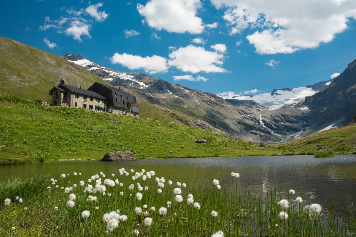
Hiking to the Aosta Valley’s mountain huts: 10 beautiful trails

Alta Via n. 2 of the Aosta Valley — high peaks and beautiful valleys in Italy
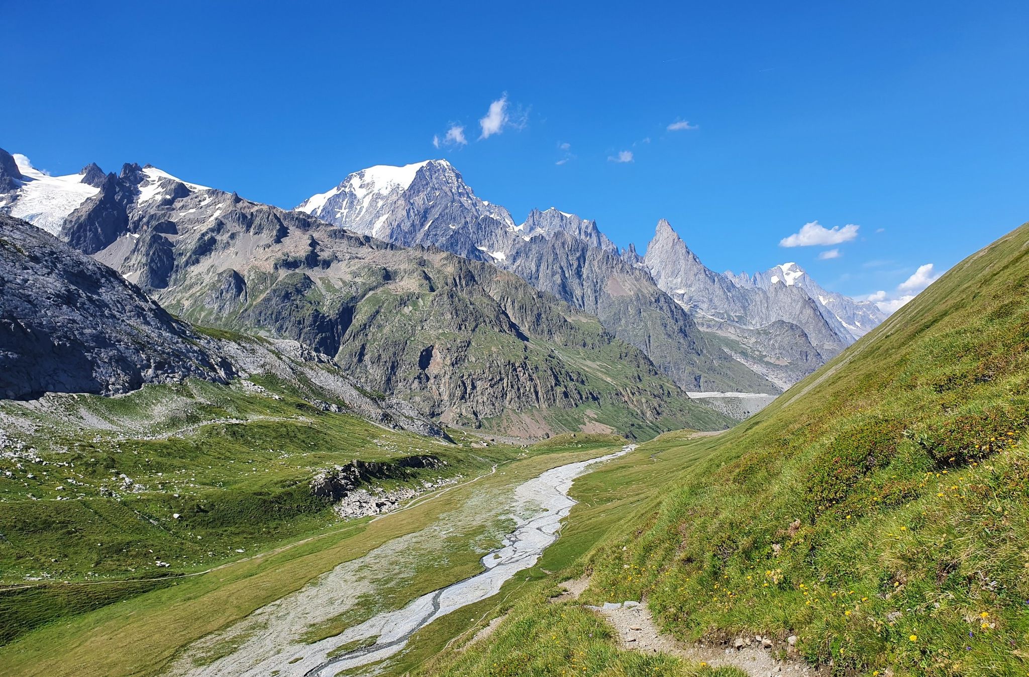
High peaks and beautiful valleys in Italy – Aosta Valley’s Alta Via Trail 2
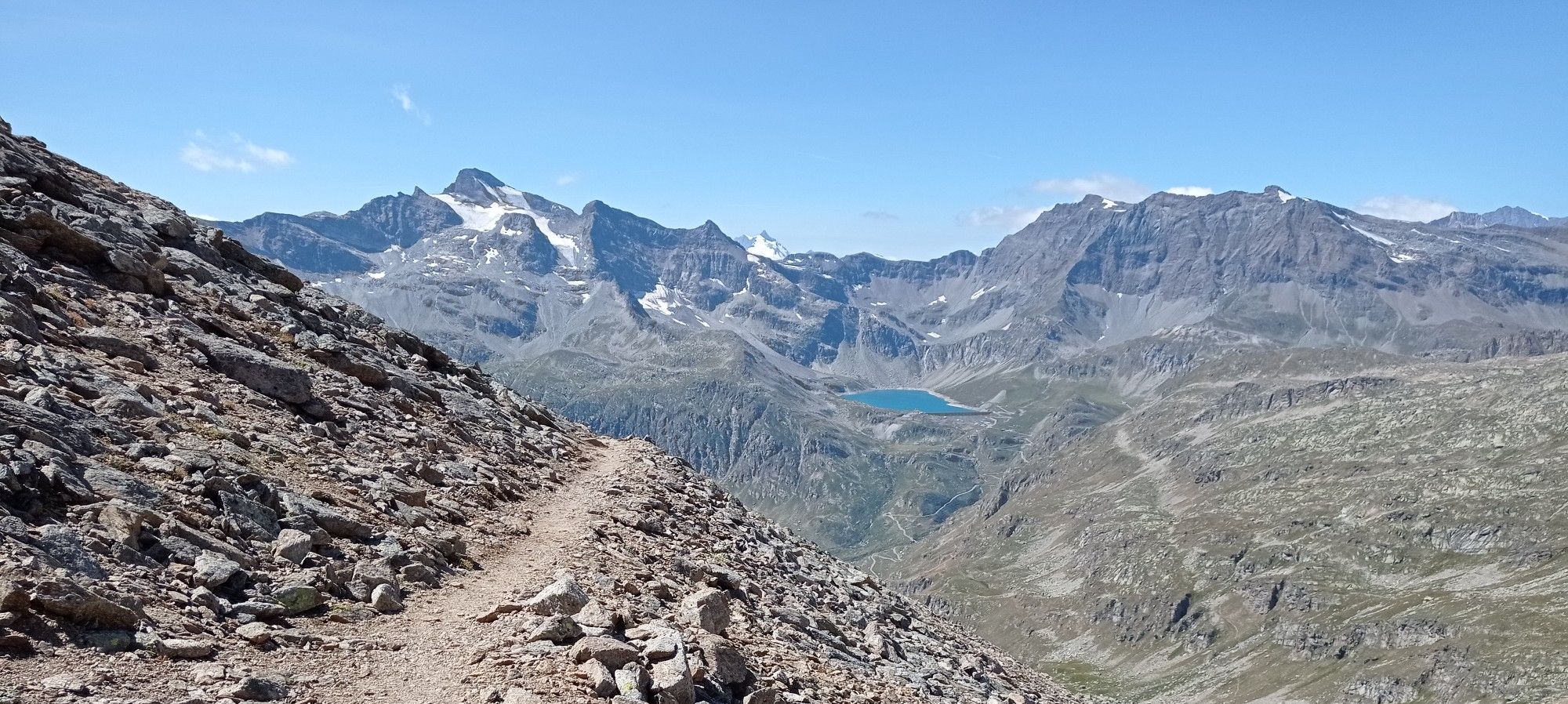
Giroparco Gran Paradiso – walking in Italy's first national park
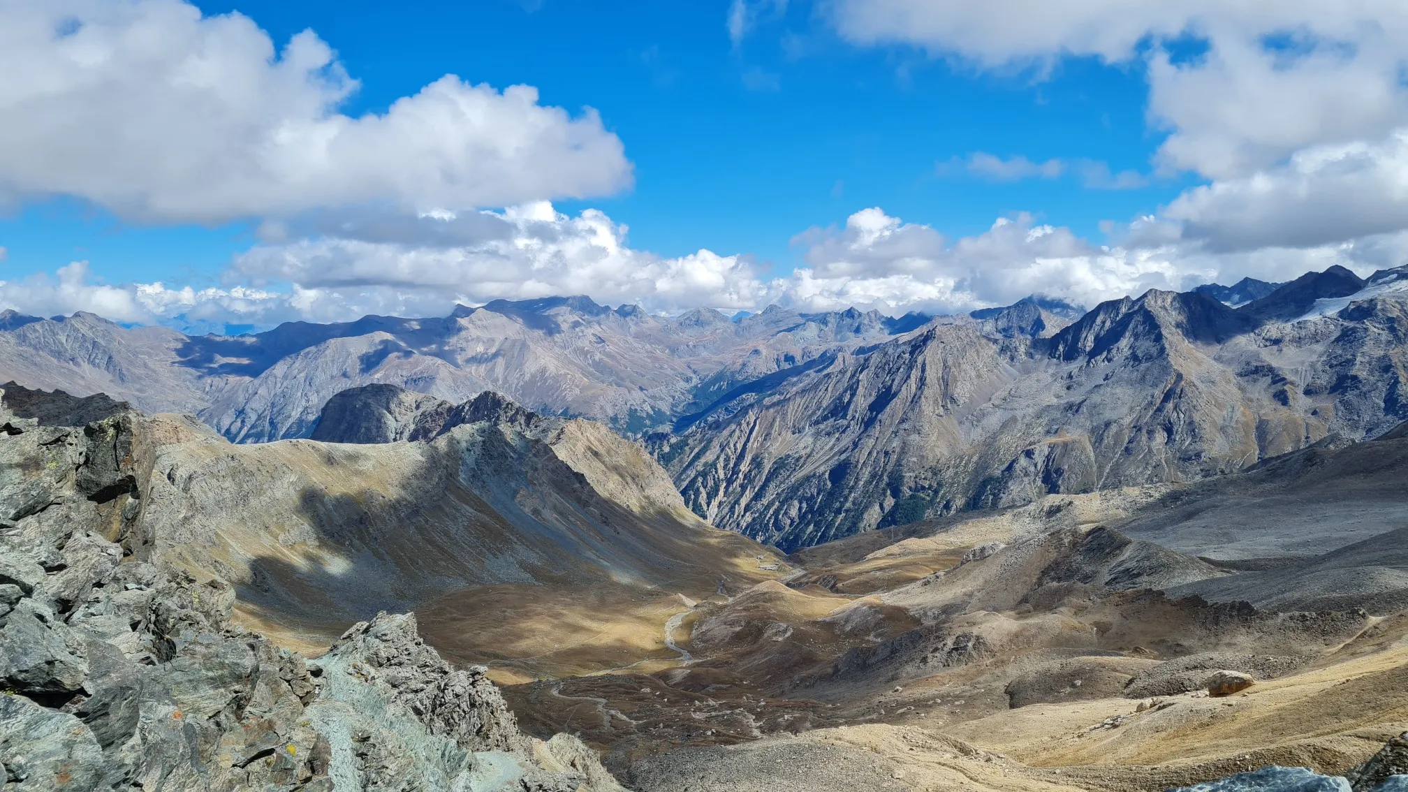
Giro del Gran Paradiso – A trail running adventure in the Italian Alps
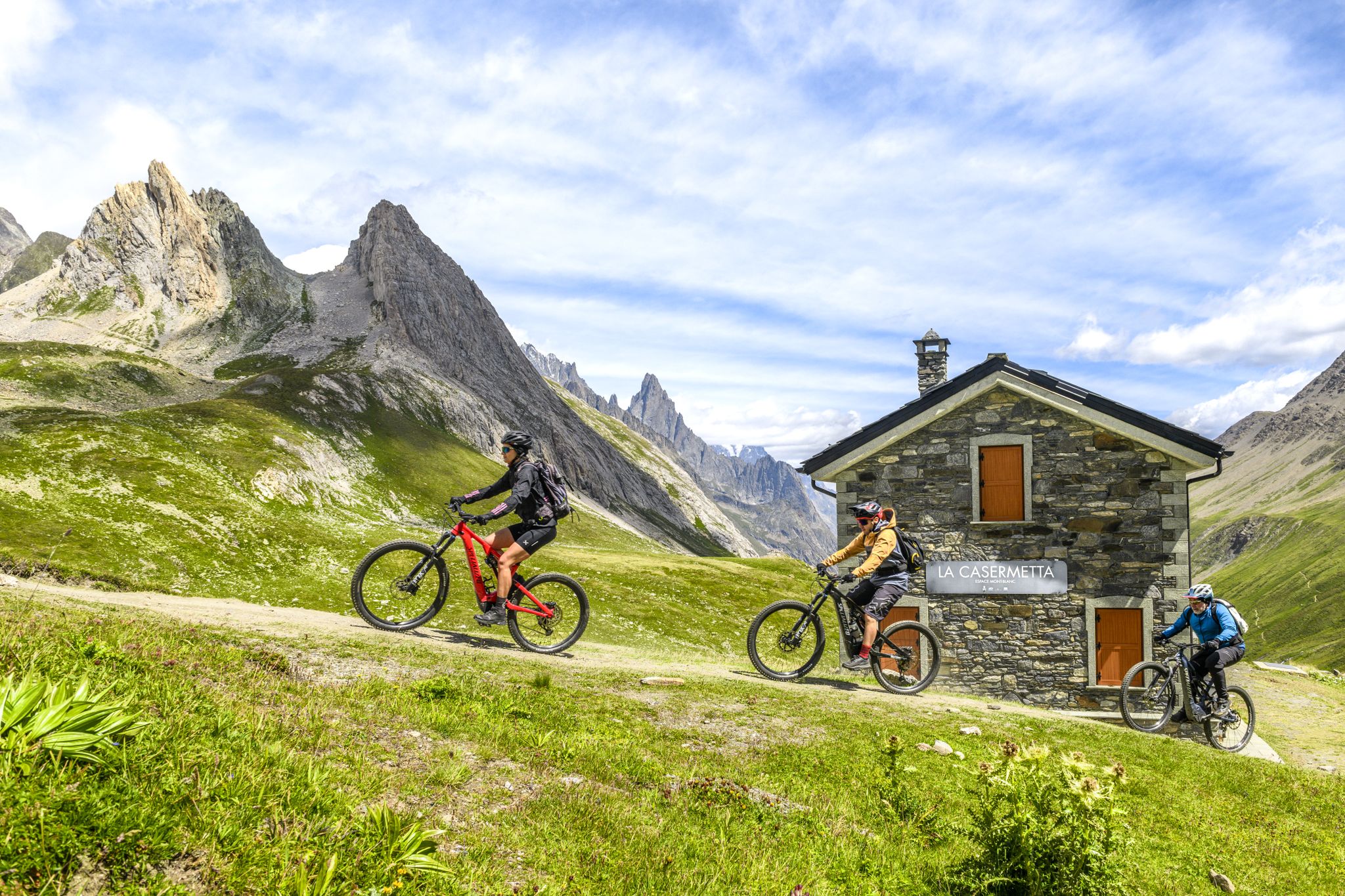
The Aosta Valley by e-MTB – alpine landscapes, castles and glaciers
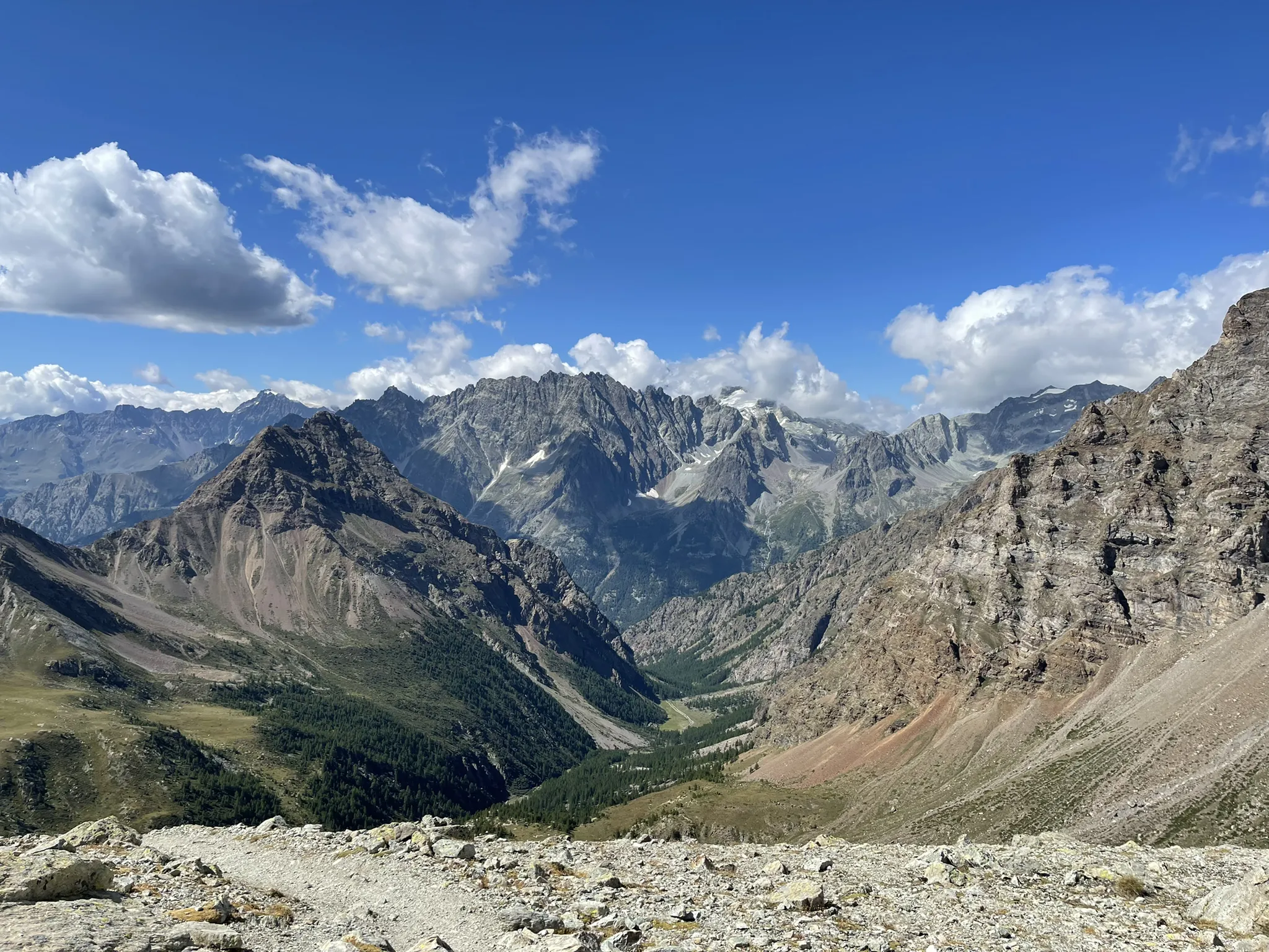
Running between the giants of the Alps – Tor des Géants
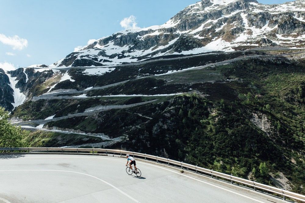
Off to the clouds on slick asphalt
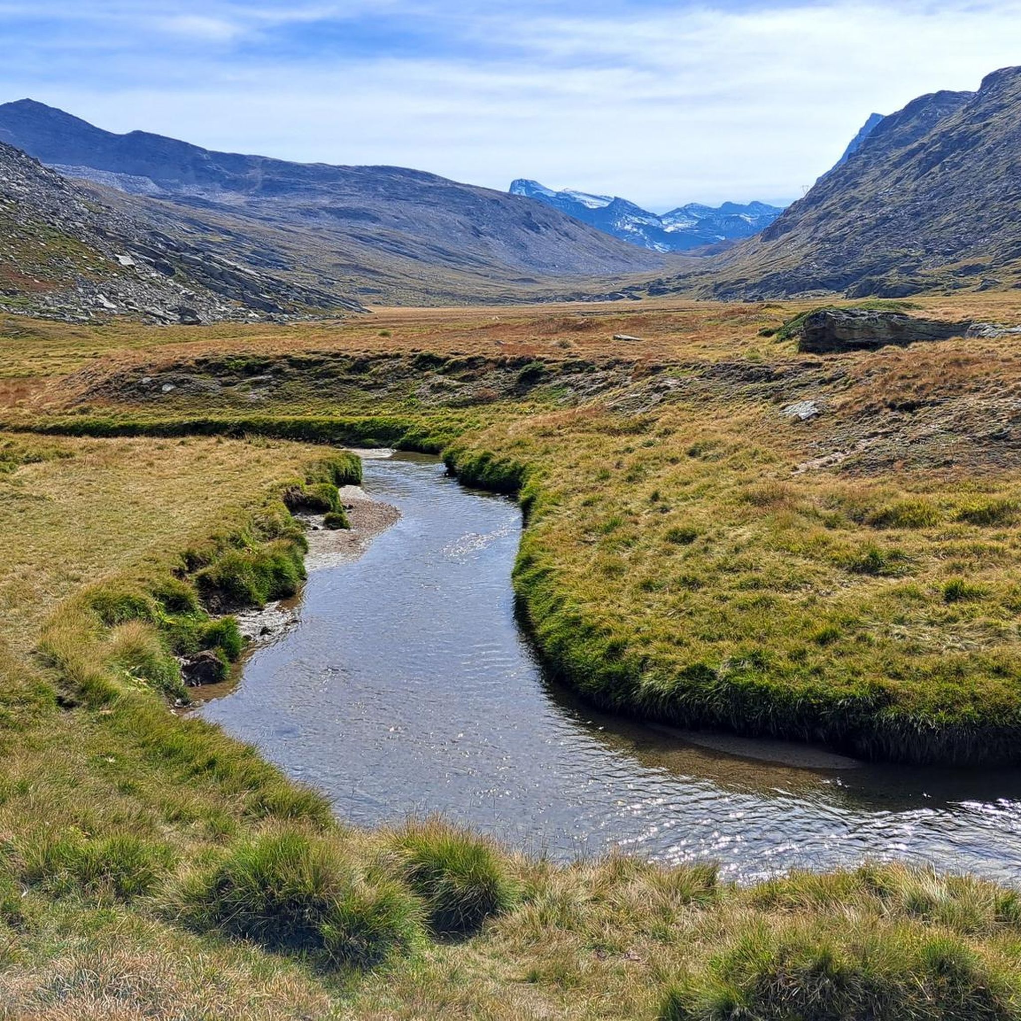
Running Trails around Valsavarenche
Cycling around Valsavarenche
Other adventures around Valsavarenche


Tips from the Community

How fast do you push it on the bike?
0
0

Very beautiful view, hike with a bikepacking bike of 25kg was quite a challenge.
0
0

beautiful here, simply fantastic
2
1

Refuge in front of the Nivolet lakes. In my opinion it would have great potential given the fabulous location, but in my opinion it is not exploited.
0
0

Rifugio Savoia is located at an altitude of 2,534 meters on the picturesque Nivolet plateau, right in the heart of the Gran Paradiso National Park. Born from the renovation of a historic hunting lodge of King Vittorio Emanuele II dating back to 1860, today it offers 40 beds and a welcoming kitchen with typical dishes of the Aosta Valley tradition.
2
0

I cannot recommend the path either up or down by bike, pure carrying. It is better to take the 1-hour detour by car to get directly to Rifugio Savoia. From there you can ride up comfortably. Otherwise, if you start from this side, go up via the tunnel instead of this path.
2
0

The hut offers food, beds, and a terrace—perfect for families, short hikes, or climbing Gran Paradiso. For details, see www.rifugiovittorioemanuele.com.
2
0

Frequently Asked Questions
How many hiking trails are available in Valsavarenche?
Valsavarenche offers a wide variety of hiking opportunities, with nearly 100 routes available. These range from easy walks suitable for beginners to challenging mountaineering expeditions, ensuring there's something for every skill level.
What kind of landscapes can I expect to see while hiking in Valsavarenche?
Hikers in Valsavarenche will experience diverse landscapes, from the majestic Gran Paradiso Massif with its glaciers and granite rocks to narrow valleys characterized by dense larch forests and wide-open alpine meadows. You'll also encounter numerous alpine lakes, such as Lake Djouan and the beautiful Laghi Trebecchi, and scenic waterfalls.
Are there any easy or family-friendly hikes in Valsavarenche?
Yes, Valsavarenche has trails suitable for families and beginners. While many routes are moderate to difficult, there are at least two easy routes available. You can find nature trails connecting hamlets like Fenille and Eaux-Rousses, offering gentle walks through wooded slopes and open spaces adorned with alpine flowers.
What are some notable natural attractions or landmarks to see along the trails?
Valsavarenche is rich in natural beauty. You can visit the stunning Lillaz Waterfalls, explore the high-altitude Nivolet Plateau known for its wildlife, or discover beautiful alpine lakes like Lake Chamolé and Lake Serrù. The region also features historical sites like the Royal Hunting House in Orvieille.
Can I find circular hiking routes in Valsavarenche?
Yes, there are several circular routes available. For example, the challenging Chabod and Vittorio Emanuele II Huts Loop is a popular option that takes you through lush valleys and pristine alpine landscapes, connecting two prominent mountain huts.
What kind of wildlife can I expect to see while hiking?
Being almost entirely within the Gran Paradiso National Park, Valsavarenche offers excellent opportunities for wildlife observation. It's common to spot chamois, ibex, marmots, and foxes. The Nivolet Plateau, in particular, is known for its donkeys and marmots.
Are there mountain huts available for overnight stays or refreshments?
Yes, Valsavarenche is home to several mountain huts that serve as popular destinations and bases for more strenuous expeditions. Notable huts include Rifugio Chabod, Rifugio Vittorio Emanuele II, Rifugio Savoia, and Rifugio Tètras Lyre.
What do other hikers enjoy most about hiking in Valsavarenche?
The area is highly rated by the komoot community, with an average score of 4.6 stars from over 2,500 reviews. Hikers often praise the breathtaking panoramic views of the Gran Paradiso massif, the rich biodiversity, and the extensive network of well-maintained trails that cater to all experience levels.
What is the best time of year to go hiking in Valsavarenche?
The best time for hiking in Valsavarenche is generally during the summer and early autumn months (June to September) when the alpine flowers are in bloom, and the trails are clear of snow. For those interested in winter activities, the valley also offers opportunities for ski mountaineering and snowshoeing.
Are there any challenging routes for experienced hikers or climbers?
Absolutely. Valsavarenche is a primary starting point for the ascent to the summit of Gran Paradiso, a challenging but rewarding climb for experienced mountaineers. Additionally, there's a demanding Via Ferrata route offering stunning views and an exciting experience, covering over 9 kilometers with significant elevation gain.
How long do hikes in Valsavarenche typically take?
Hike durations vary significantly depending on the route's difficulty and length. For instance, a moderate trail like Trail to Montcorvé Lakes typically takes about 3 hours 30 minutes, while more challenging routes such as the Historic Trail 3 through Nivolet Plateau can take around 6 hours 30 minutes or more.
Is public transport available to reach hiking trailheads in Valsavarenche?
Valsavarenche is located within Gran Paradiso National Park. While specific public transport details for every trailhead can vary, local bus services typically connect the main villages within the Aosta Valley. It's advisable to check local bus schedules for Dégioz, the main village in Valsavarenche, to plan your access to trailheads.
Most popular routes around Valsavarenche
Most popular attractions around Valsavarenche

Get inspired with the komoot mobile app


Explore more
Browse the best Hikes in other regions.
