The best traffic-free bike rides around Valsavarenche
4.6
(267)
5,500
riders
22
rides
No traffic touring cycling routes around Valsavarenche are set within the Gran Paradiso National Park, an alpine region characterized by the majestic Gran Paradiso massif and an altitude of 1,541 meters. The valley features wooded slopes, numerous alpine lakes, and peat bogs, providing a diverse natural setting for cycling. Cyclists will encounter impressive glaciers and unique red rock formations, offering a challenging and scenic backdrop for routes.
Best no traffic touring cycling routes around Valsavarenche
- The most popular no traffic touring cycling route is Nivolet Pass Trail, a 22.4 miles (36.1 km) trail that takes 3 hours 5 minutes to complete. This challenging route, also known as the Strada del Colle del Nivolet, features a significant 1,290-meter elevation gain and has been part of the Giro d'Italia.
- Another top favourite among local touring cyclists is Rhêmes-Notre-Dame to Rifugio Benevolo Trail, a difficult 12.6 miles (20.3 km) path. This route offers alpine scenery with a steady climb through the valley, leading to mountain refuges.
- Local touring cyclists also love the Lake Serrù – Lake Agnel loop from Ceresole (Chiapili Sotto), a 16.3 miles (26.3 km) trail leading through high alpine lakes and dramatic mountain passes, often completed in about 2 hours 21 minutes.
- Touring cycling around Valsavarenche is defined by the Gran Paradiso massif, alpine lakes, and wooded slopes. The network offers options for various ability levels, from easy paths to difficult ascents.
- The routes in Valsavarenche are highly rated by the komoot community with an average score of 4.6 stars from over 100 reviews. More than 3000 touring cyclists have used komoot to explore Valsavarenche's varied terrain.
Last updated: October 3, 2026
5.0
(31)
712
riders
36.1km
03:05
1,290m
1,290m
The Nivolet Pass Trail offers a challenging touring bicycle ascent through Gran Paradiso National Park. As you climb, you will experience a dramatic shift in scenery, moving from forested areas to rugged, high-alpine landscapes. This difficult route covers 22.4 miles (36.1 km) with a significant elevation gain of 4223 feet (1287 metres), typically taking around 3 hours and 4 minutes to complete. You will pass impressive glacial lakes like Lago Serru and Lago Agnel, surrounded by towering peaks and waterfalls.
Planning your ride requires attention to the season, as this high-altitude route is generally only open during the warmer months due to snow. Always check local conditions before you set out, as it is an isolated mountain climb. If you plan your visit for a summer Sunday, you can enjoy an even more peaceful experience, as the road from Lago di Serrù to the summit is closed to motorized traffic on those days.
This route is recognized as one of Europe's notable alpine climbs, particularly suited for experienced cyclists seeking a demanding ride. The final 5 kilometers are especially memorable, featuring 14 hairpin turns that offer expansive views of the surrounding mountain environment. It is a journey that showcases the raw beauty of the Gran Paradiso National Park.
4.9
(9)
98
riders
20.3km
02:02
580m
580m
Cycle to Rifugio Benevolo in Gran Paradiso National Park, a challenging 12.6-mile route with 1916 feet of gain and stunning alpine views.

5.0
(12)
593
riders
31.5km
02:45
1,160m
1,160m
Hard bike ride. Very good fitness required. Mostly paved surfaces. Suitable for all skill levels.
108
riders
20.2km
01:44
710m
710m
Hard bike ride. Very good fitness required. Mostly paved surfaces. Suitable for all skill levels.
4.6
(7)
96
riders
33.8km
02:39
930m
930m
Hard bike ride. Very good fitness required. Mostly paved surfaces. Suitable for all skill levels.
Get access to more routes and recommendations from other explorers.
Already have an account?
Our route recommendations are based on thousands of hikes, rides, and runs completed by other people on komoot.
Start today with a free account
Your next adventure awaits.
Popular around Valsavarenche
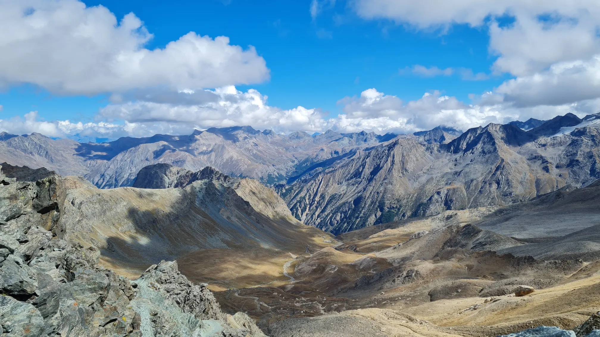
Giro del Gran Paradiso – A trail running adventure in the Italian Alps
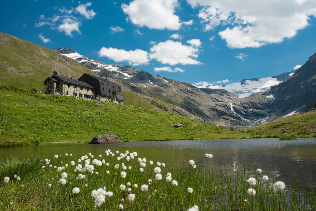
Hiking to the Aosta Valley’s mountain huts: 10 beautiful trails
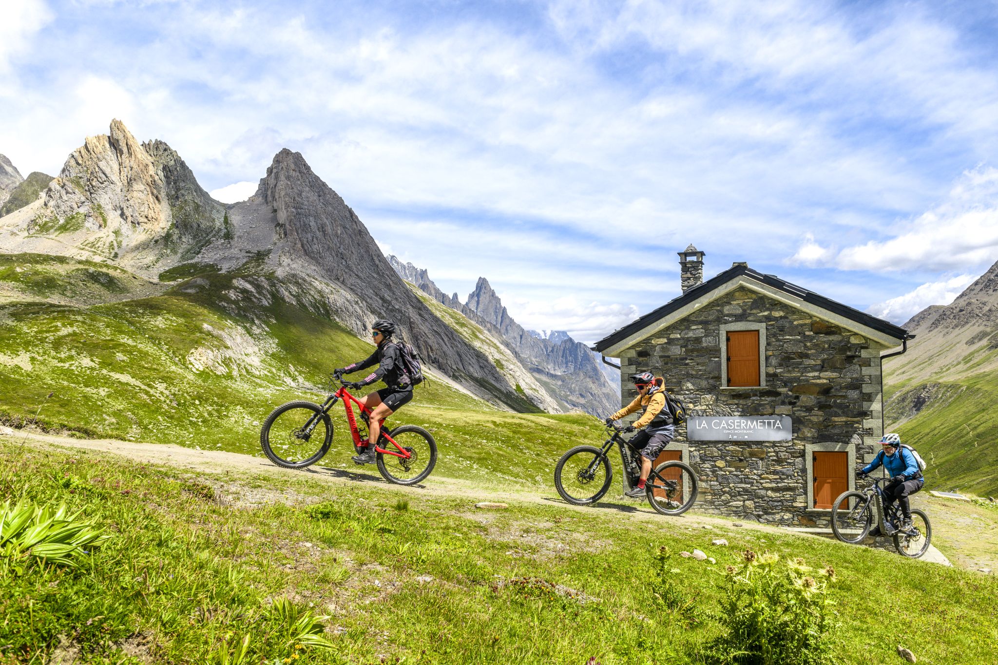
The Aosta Valley by e-MTB – alpine landscapes, castles and glaciers

Alta Via n. 2 of the Aosta Valley — high peaks and beautiful valleys in Italy
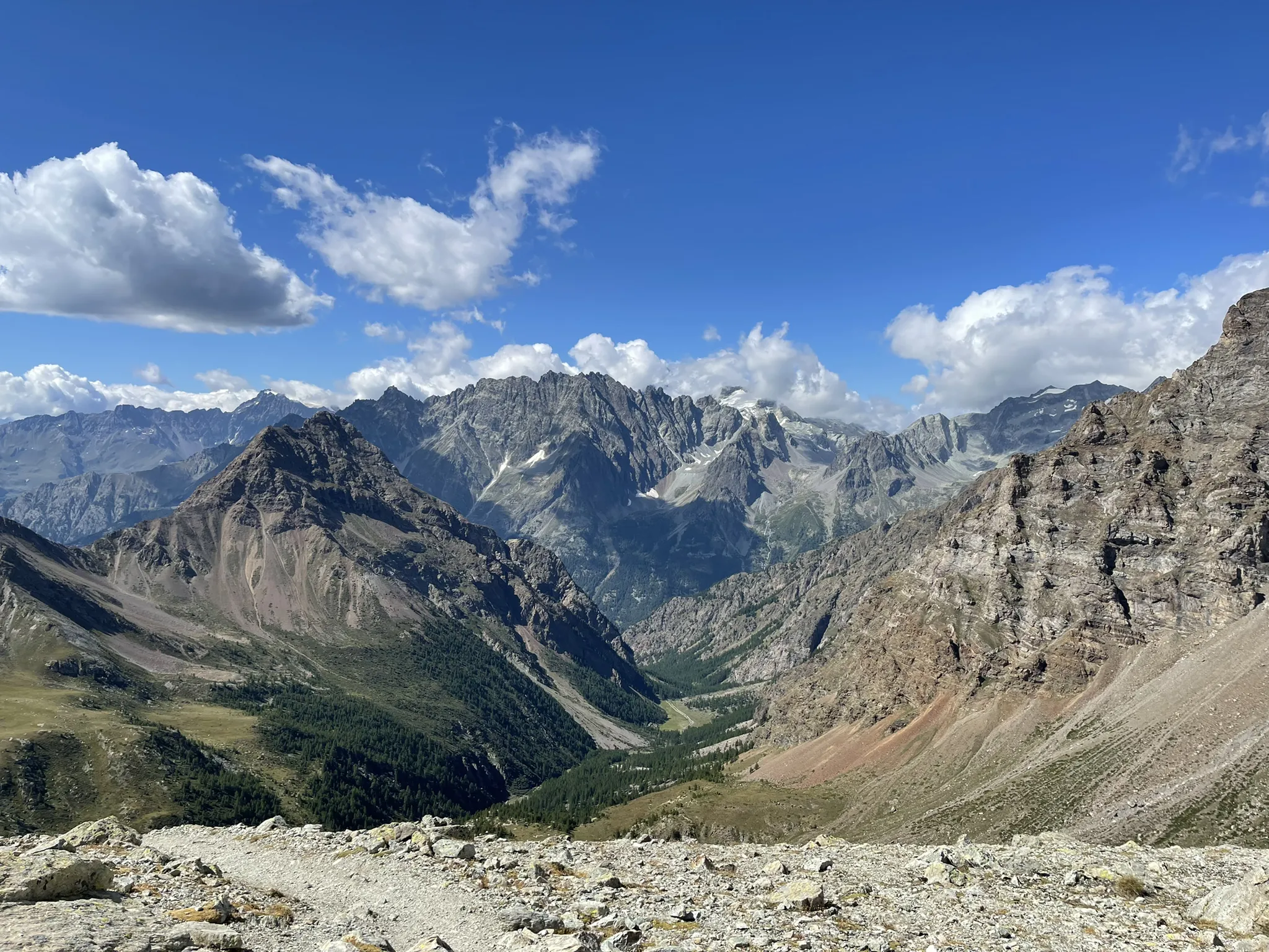
Running between the giants of the Alps – Tor des Géants
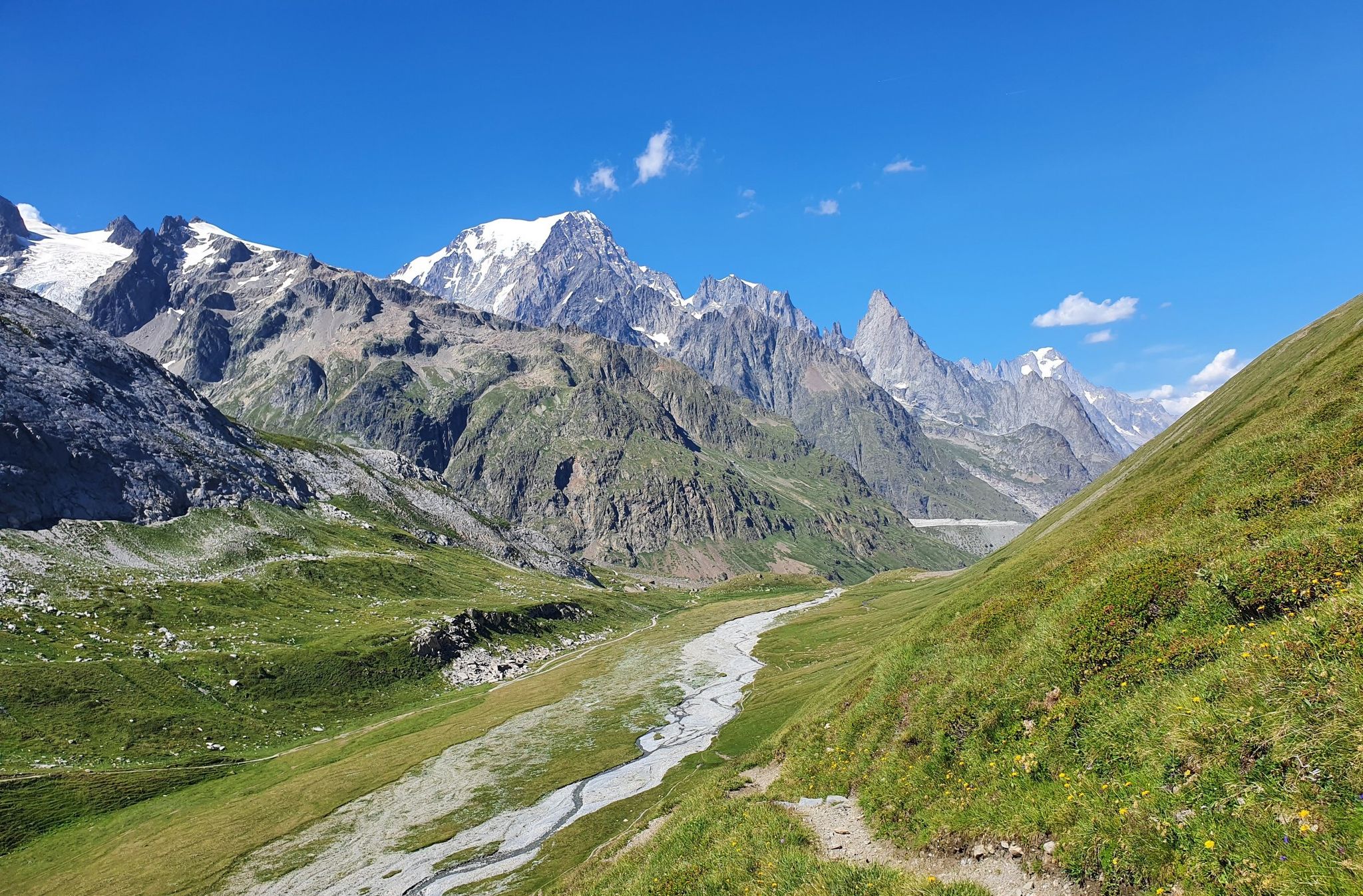
High peaks and beautiful valleys in Italy – Aosta Valley’s Alta Via Trail 2
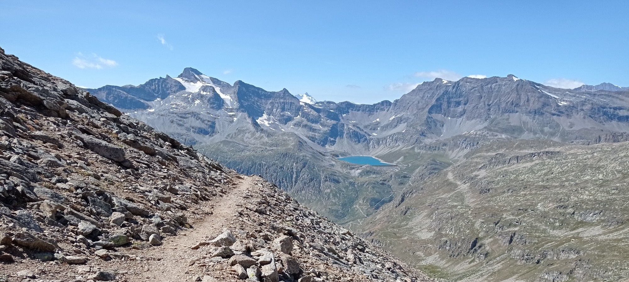
Giroparco Gran Paradiso – walking in Italy's first national park
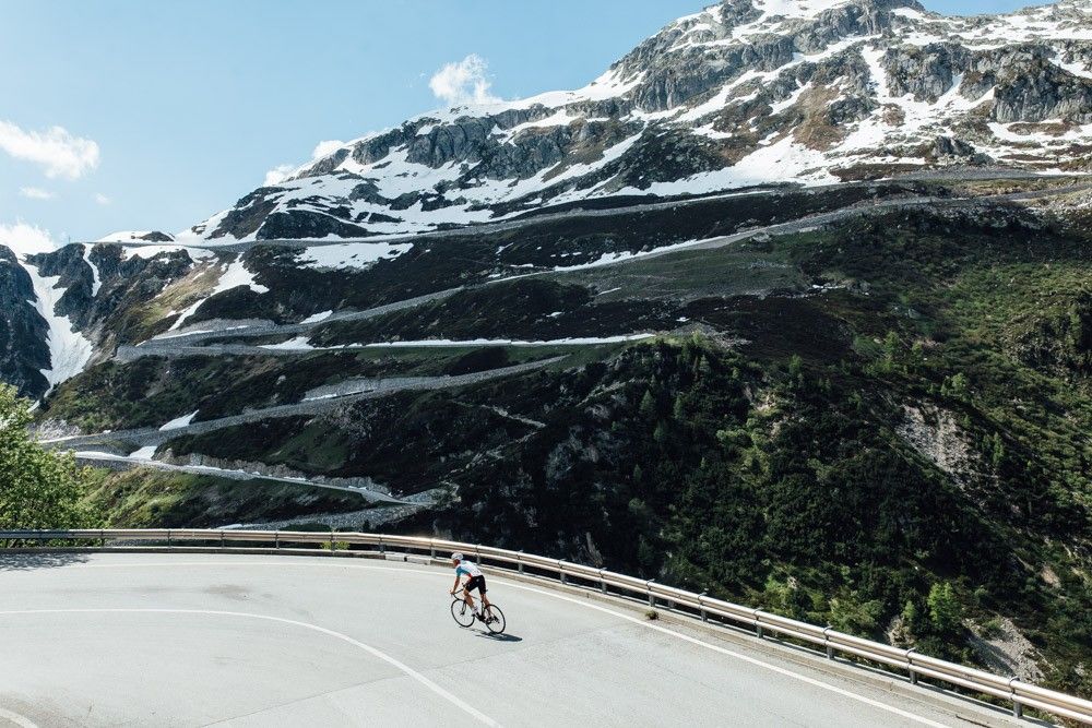
Off to the clouds on slick asphalt

Traffic-free bike rides around Valsavarenche
Traffic-free bike rides around Valsavarenche
Other adventures around Valsavarenche


Tips from the Community

is located directly on the main road, ideal for a quick visit from Aosta city
0
0

Unmissable landscape, route suitable for everyone
0
0


Arpuilles is a hamlet in the municipality of Aosta, nestled on the hill north of the city at an altitude of about 1000 meters. The village, along with nearby Signayes, is part of that system of mid-mountain settlements that the Salassi—the Celtic population who inhabited the valley before the Roman conquest—seemed to prefer to the valley floors, and which over the centuries has maintained a rural character distinct from that of the underlying capital. So strong was this sense of identity that in the past the inhabitants of Arpuilles and Signayes even attempted to separate from the municipality of Aosta to form an autonomous municipality. The inhabited core consists of stone and wood houses arranged along the road that climbs from the plain, surrounded by meadows, pastures, and deciduous woods. From Arpuilles, one enjoys an open view of the Aosta basin and the surrounding mountains: Monte Emilius, Becca di Nona, and, in the distance, the peaks of Gran Paradiso. Its sunny position, sheltered from the north winds, has historically made it an area for spring and autumn grazing. Here passes the terminal section of the Ru Neuf, the ancient irrigation canal from 1327 that brought water from Étroubles to the hill of Aosta.
0
0

Ancient connecting road that runs halfway up the Aosta plain, already used in pre-Roman and then Roman times to cross the valley. Today it is a quiet secondary road, ideal for cycling away from traffic, among terraced vineyards, small villages and open views of the valley floor.
1
0

The Rifugio Gian Federico Benevolo is a historic mountain refuge located at 2,287 meters, in the heart of the Gran Paradiso National Park. An ideal starting point for hikes and climbs, it offers a welcoming atmosphere and spectacular views of the surrounding peaks and glaciers.
1
0
The refuge can be reached by mountain bike, even by those less experienced, with a splendid view.
0
0

THE 18 KM CLIMB IS DEMANDING DUE TO THE GRADIENTS IT OFFERS BUT VERY REWARDING FOR THE VIEWS IT OFFERS.
0
0
Frequently Asked Questions
How many no-traffic touring cycling routes are available in Valsavarenche?
Valsavarenche offers a selection of 20 dedicated no-traffic touring cycling routes. These routes are designed to provide a tranquil experience away from vehicular traffic, allowing you to fully immerse yourself in the stunning alpine scenery of Gran Paradiso National Park.
What is the best time of year for no-traffic touring cycling in Valsavarenche?
The best time for touring cycling in Valsavarenche is typically during the summer months, from June to September. During this period, the high mountain passes are usually clear of snow, and the weather is most favorable. However, some routes, especially at higher altitudes like the Nivolet Pass, may only be fully accessible from late June or early July due to snowmelt.
Are there any easy no-traffic touring cycling routes suitable for beginners or families?
While many routes in Valsavarenche are challenging, there are a couple of easier options. For instance, the Cogne village – View of Mont Blanc from Cogne loop from Cogne is an easy 8.7 km route with minimal elevation gain, offering a pleasant ride through the valley with scenic views. This route is ideal for those seeking a less strenuous experience.
What kind of natural features can I expect to see along these routes?
Valsavarenche's no-traffic routes wind through diverse natural landscapes. You'll encounter wooded slopes, pristine lakes like Lake Chamolé, and peat bogs. The valley is dominated by the majestic Gran Paradiso massif, providing a dramatic backdrop. Keep an eye out for local wildlife such as chamois, ibexes, and marmots. You might also spot impressive glaciers and the unique red rock formations of "Eaux Rousses".
Are there any challenging no-traffic routes for experienced touring cyclists?
Absolutely. Valsavarenche is known for its demanding terrain. The Nivolet Pass Trail is a challenging 36.1 km route with over 1,200 meters of elevation gain, taking you to the 2,600-meter Colle del Nivolet. Another difficult option is the Rhêmes-Notre-Dame to Rifugio Benevolo Trail, which offers a significant climb and stunning alpine vistas.
Are there any circular no-traffic touring cycling routes in Valsavarenche?
Yes, there are several circular routes available. For a challenging loop, consider the Lake Serrù – Lake Agnel loop from Ceresole (Chiapili Sotto), which covers 26.2 km with over 1,000 meters of ascent. Another option is the Lake Serrù – Lake Agnel loop from Colle del Nivolet, a shorter but still difficult 13.1 km loop.
What do other touring cyclists say about the no-traffic routes in Valsavarenche?
The komoot community highly rates the touring cycling experience in Valsavarenche, with an average score of 4.6 out of 5 stars from over 125 ratings. Cyclists frequently praise the tranquility of the car-free paths, the breathtaking alpine scenery, and the challenging yet rewarding climbs that offer unparalleled views of the Gran Paradiso massif.
Are there any waterfalls or gorges to see along the no-traffic cycling routes?
Yes, the region is rich in water features. While cycling, you might encounter impressive gorges such as the Nivolet Valley Entrance, Valsavarenche or the Val di Rhêmes. The nearby Lillaz Waterfalls and the Second Waterfall of Lillaz are also notable natural monuments worth exploring, though they may require a short detour from the main cycling paths.
Are there any cultural or historical points of interest near the cycling routes?
Beyond the natural beauty, Valsavarenche offers cultural insights. You can visit the restored Royal Hunting Lodge of Orvieille, accessible via a charming mule track, or explore the ethnographic museum in Dégioz to learn about traditional alpine life. The "Water and Biodiversity" Visitor Centre in Rovenaud also provides educational insights into the park's ecosystem.
What is the general difficulty level of no-traffic touring cycling routes in Valsavarenche?
The majority of no-traffic touring cycling routes in Valsavarenche are classified as difficult, with 13 out of 20 routes falling into this category. This is due to the significant elevation gains and the alpine terrain, which can include some unpaved sections. There are also 5 moderate and 2 easy routes available, catering to a range of fitness levels.
Can I access these no-traffic routes using public transport?
Public transport options in Valsavarenche are limited, especially for reaching specific trailheads for no-traffic cycling routes. While there are some bus services connecting villages within the Aosta Valley, direct access to more remote starting points for cycling tours might require personal transport or a combination of bus and cycling. It's advisable to check local bus schedules in advance.
Most popular routes around Valsavarenche
Most popular attractions around Valsavarenche

Get inspired with the komoot mobile app


Explore more
Browse the best Cycling routes in other regions.
