The best running trails around Piancastagnaio
5.0
(3)
353
runners
34
runs
Jogging around Piancastagnaio offers routes through the volcanic landscape of Monte Amiata, characterized by forested slopes and elevated viewpoints. The region provides a mix of challenging ascents and winding paths through natural environments. Runners can expect varied terrain, including trails that lead to scenic lakes and panoramic vistas.
Best jogging routes around Piancastagnaio
- The most popular jogging route is Ascent to Monte Amiata — Ring tour, a 6.0 miles (9.7 km) trail that takes 1 hour 28 minutes to…
Last updated: July 8, 2026
89
runners
21.5km
02:42
880m
880m
Hard run. Very good fitness required. Sure-footedness, sturdy shoes and alpine experience required.
5.0
(1)
70
runners
27.1km
03:41
1,120m
1,120m
Hard run. Very good fitness required. Sure-footedness, sturdy shoes and alpine experience required.

Sign up for free
25
runners
15.9km
01:58
380m
380m
Hard run. Very good fitness required. Mostly paved surfaces. Suitable for all skill levels.
10
runners
11.0km
01:17
250m
250m
Moderate run. Good fitness required. Mostly paved surfaces. Suitable for all skill levels.
7
runners
10.7km
01:13
280m
280m
Moderate run. Good fitness required. Mostly paved surfaces. Suitable for all skill levels.
Get access to more routes and recommendations from other explorers.
Sign up for free
Already have an account?
Our route recommendations are based on thousands of hikes, rides, and runs completed by other people on komoot.
Start today with a free account
Your next adventure awaits.
Login or Signup

Tips from the Community

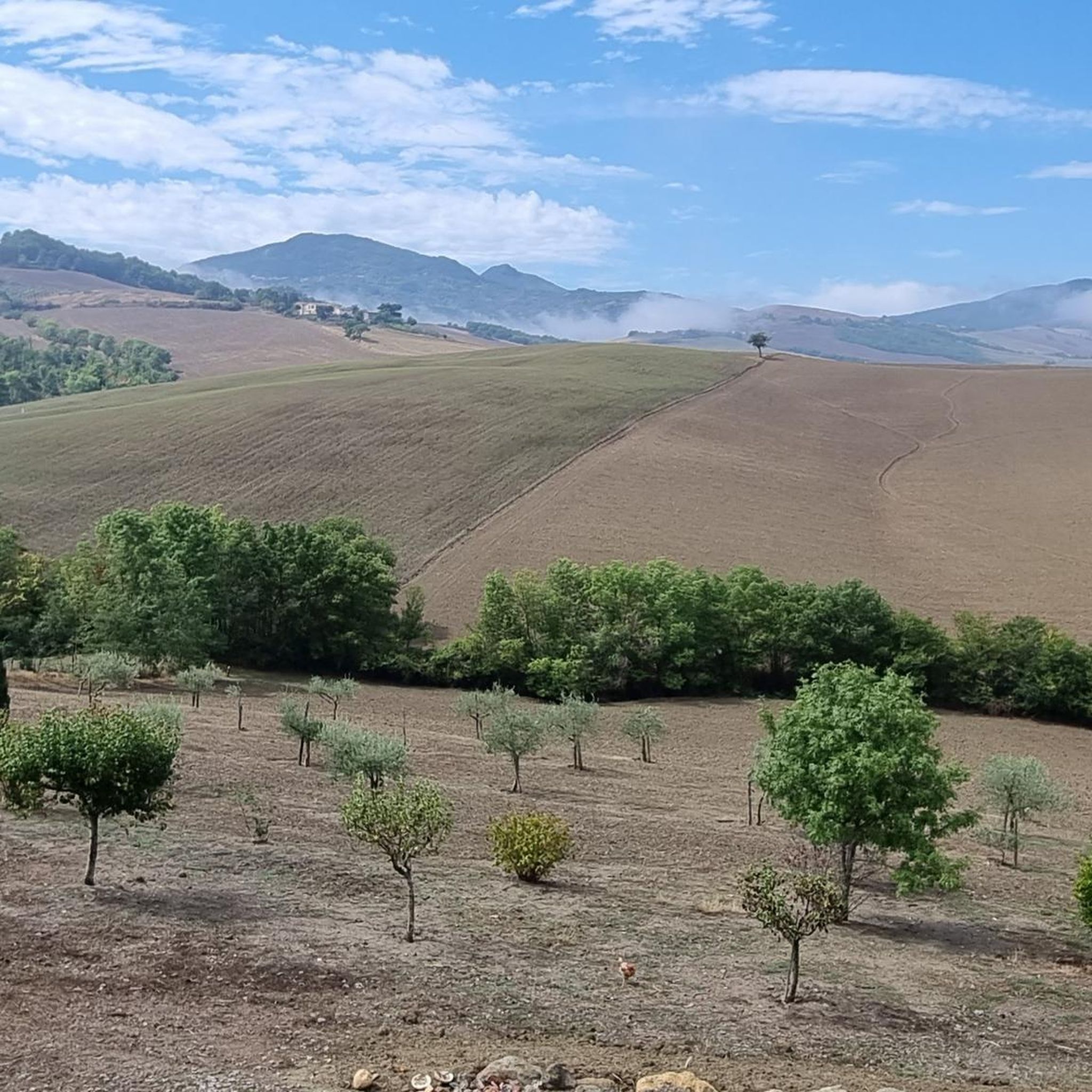
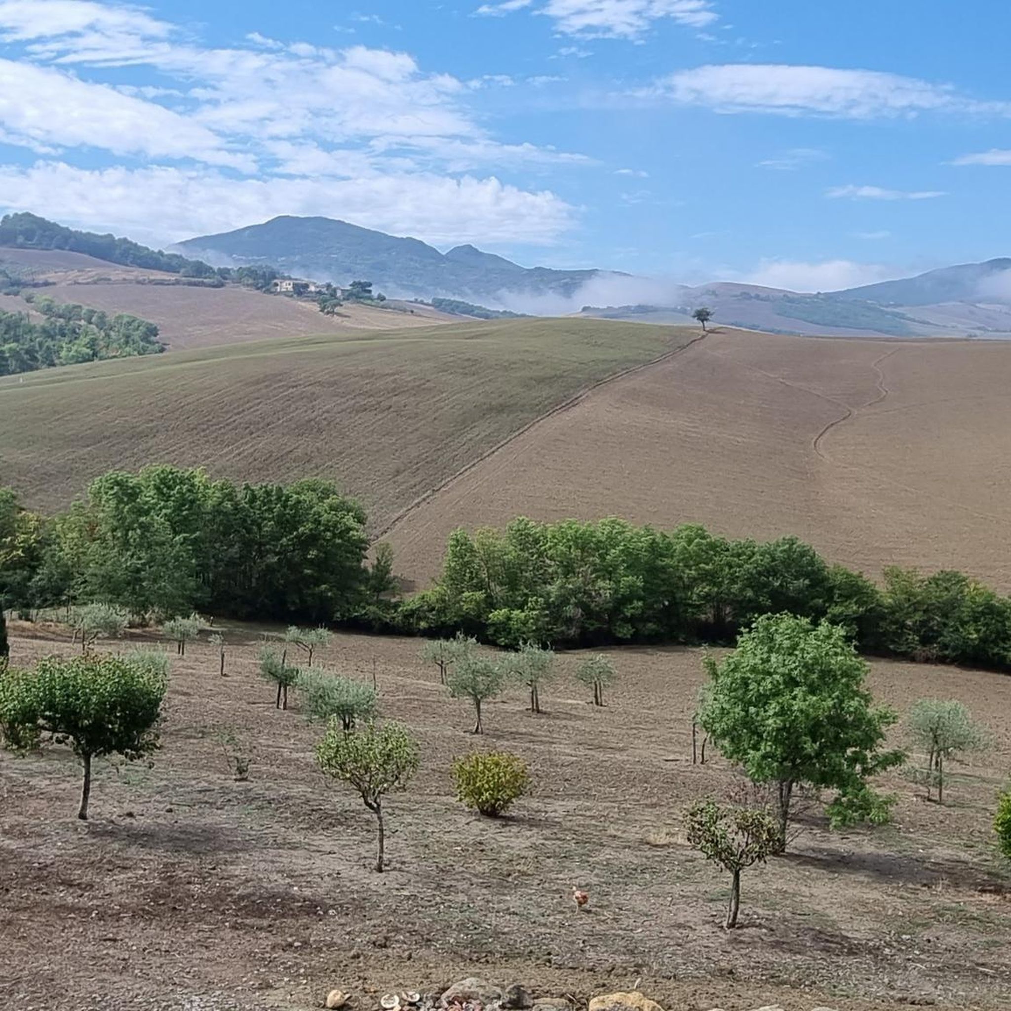
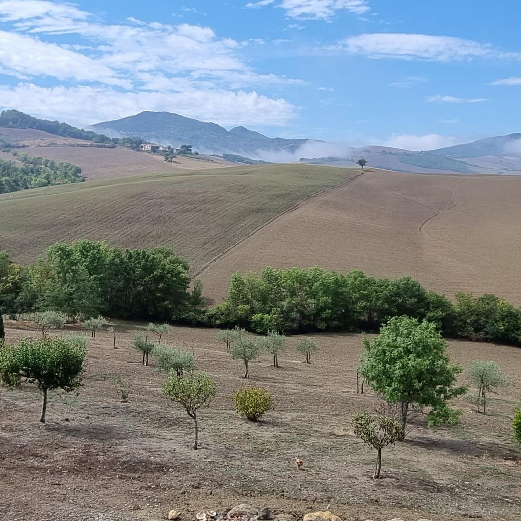
Panoramic point over the valleys below Val d'Orcia and Alta Tuscia
1
0

Abbadia San Salvatore, in Tuscany, known for its ancient monastery, experienced mining prosperity in the 20th century. With the closure of the mines, tourism became predominant, making it a landmark of Monte Amiata.
2
0

This Osteria no longer exists and the name couldn't be more appropriate. It was truly paradise
2
0
Viewpoint
1
1

the summit of Monte Amiata with its cross
2
0

The paths that go from the huts to the summit are worth walking! For downhill lovers there are some interesting slopes to be in central Italy!
0
0
Nice route and characteristic Madonnina!
0
0
Nice view from the Vetta and Croce quite impressive!
0
0
Frequently Asked Questions
What kind of terrain can I expect on the running routes in Piancastagnaio?
The running routes around Piancastagnaio are characterized by the volcanic landscape of Monte Amiata. You'll encounter forested slopes, winding paths, and varied terrain, including trails leading to scenic lakes and panoramic viewpoints. Expect a mix of challenging ascents and natural environments.
Are there any easy running routes for beginners in Piancastagnaio?
While Piancastagnaio offers a rich network of trails, the routes are generally categorized as moderate to difficult. There are no routes specifically listed as 'easy' in this guide, suggesting that most trails involve some level of challenge, often with significant elevation changes due to the volcanic terrain.
What are the typical distances for running trails around Piancastagnaio?
The running trails in this region vary significantly in length. You can find routes ranging from approximately 9.7 km (6 miles) to over 27 km (16.8 miles). For example, the Ascent to Monte Amiata — Ring tour is about 9.7 km, while the View from Monte Amiata – Rigale Viewpoint loop from Abbadia San Salvatore extends to 27.1 km.
Are there any circular running routes in the Piancastagnaio area?
Yes, many of the running routes around Piancastagnaio are designed as loops. For instance, the Ascent to Monte Amiata — Ring tour and the Laghetto Verde – Lago del Pian della Pescina loop from Abbadia San Salvatore are popular circular options, allowing you to start and finish at the same point.
What kind of natural sights or landmarks can I see along the running routes?
The routes often pass through dense woodlands and offer views of the volcanic landscape. You can explore areas like the Beech Forest of Macinaie. Some trails also lead to significant landmarks such as the Monumental Cross on Monte Amiata or the Radicofani Fortress, providing historical and scenic points of interest.
What do other runners enjoy most about jogging in Piancastagnaio?
The area is highly rated by the komoot community, with an average score of 5.0 stars. Reviewers often praise the diverse terrain, the challenging ascents, and the beautiful natural scenery, especially the forested areas and panoramic views from Monte Amiata.
Are there running routes that pass by lakes or water features?
Yes, some routes in the region incorporate water features. The Laghetto Verde – Lago del Pian della Pescina loop from Abbadia San Salvatore, for example, traverses forested areas and passes by two distinct lakes, offering refreshing views during your run.
Can I find routes suitable for a longer, more challenging run?
Absolutely. Piancastagnaio is well-suited for longer, more challenging runs, with many routes categorized as 'difficult'. Trails like the View from Monte Amiata – Rigale Viewpoint loop from Abbadia San Salvatore, at over 27 km with significant elevation gain, provide an excellent test of endurance.
How many running routes are available in the Piancastagnaio area?
There are over 25 dedicated running routes around Piancastagnaio documented on komoot, offering a wide variety of options for exploring the region's unique volcanic landscape.
What is the best time of year to go running in Piancastagnaio?
The Monte Amiata region, including Piancastagnaio, is generally pleasant for outdoor activities from spring through autumn. Summer offers warmer temperatures, while spring and autumn provide milder weather and vibrant foliage, making them ideal for running. Winter can bring snow to higher elevations, offering a different, more challenging experience for those prepared.
Are there any hidden gem running trails in Piancastagnaio?
While specific 'hidden gems' are often discovered by local exploration, the less frequented sections of the extensive network around Monte Amiata, particularly those diverging from the main summit paths, can offer a sense of discovery. Exploring routes like the Laghetto Verde loop from Abbadia San Salvatore might lead to quieter, more secluded experiences.
What are the elevation changes like on these running trails?
Given the volcanic nature of Monte Amiata, you can expect significant elevation changes on most routes. For example, the Ascent to Monte Amiata — Ring tour involves over 440 meters of ascent, and longer routes can feature over 1000 meters of climbing, providing a robust workout.
Most popular attractions around Piancastagnaio

Get inspired with the komoot mobile app


Explore more
Browse the best Running Trails & Routes in other regions.
