The best walks and hikes around Piancastagnaio
4.4
(854)
3,264
hikers
177
hikes
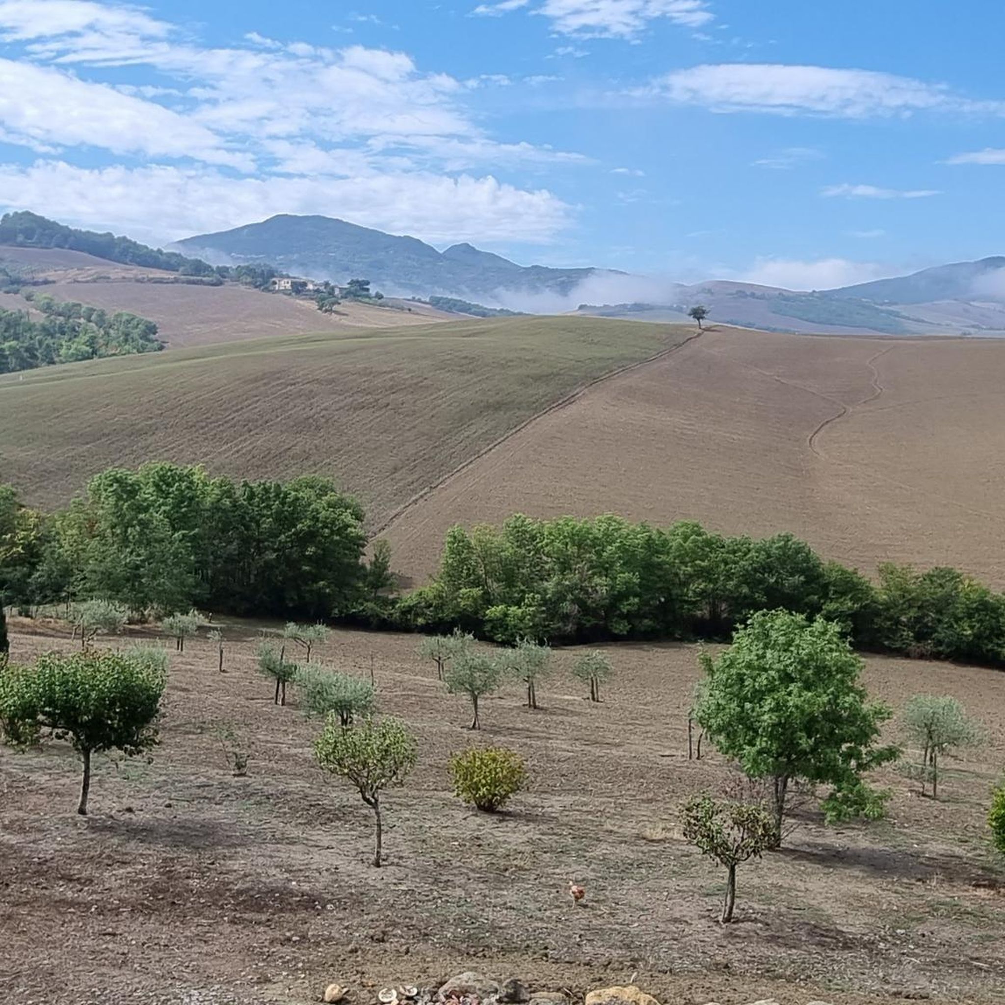
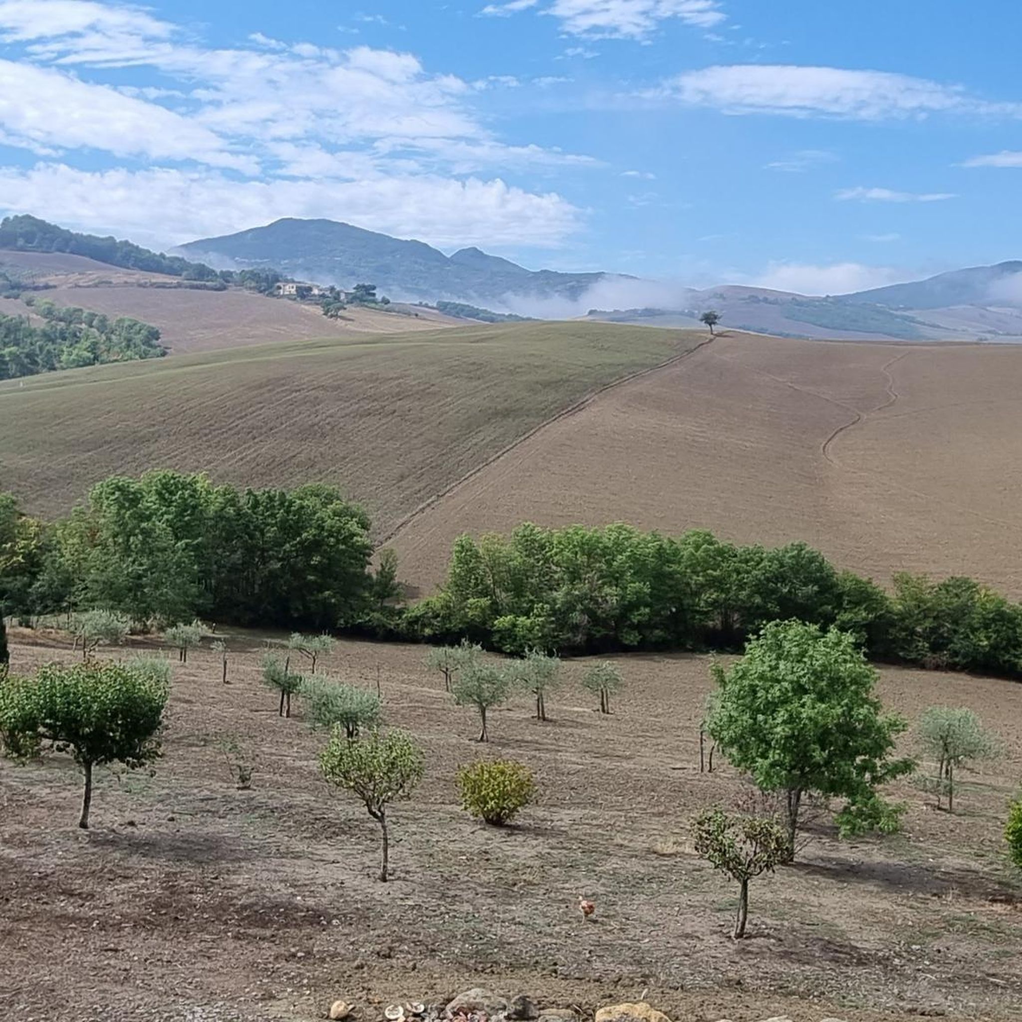
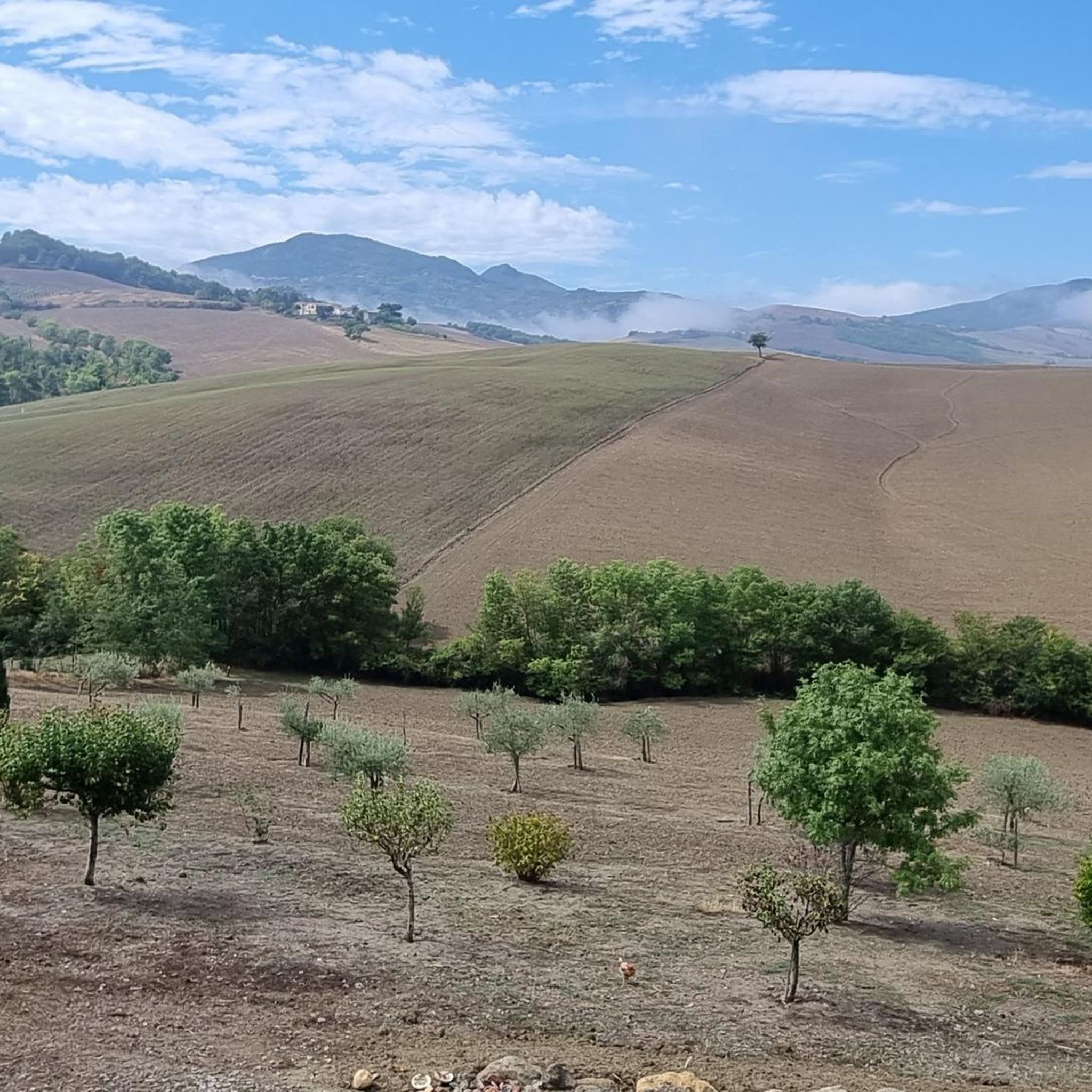
Hiking around Piancastagnaio offers access to the diverse landscapes of Monte Amiata, an ancient extinct volcano. The region is characterized by lush, dense forests, primarily beech, chestnut, and pine, and features volcanic rock formations and natural springs. The Pigelleto Nature Reserve, known for its tall white fir trees, adds to the varied terrain. Panoramic views are available from various points across the slopes.
Best hiking trails around Piancastagnaio
- The most popular hiking route is Wayside Cross Crocetta – Abbey of San Salvatore loop from La Liccia, a 13.1 miles (21.1 km) trail that takes 6 hours 3 minutes to complete. This difficult route features significant elevation gain through forested slopes.
- Another top favourite among local hikers is Wayside Cross Crocetta – Abbadia San Salvatore loop from La Liccia, a moderate 7.8 miles (12.5 km) path. This trail offers a mix of forest paths and open sections, often completed in about 3 hours 31 minutes.
- Local hikers also love the Wayside Cross Crocetta loop from Piancastagnaio, a 4.3 miles (6.9 km) trail leading through chestnut and beech forests, often completed in about 1 hour 57 minutes.
- Hiking around Piancastagnaio is defined by the volcanic slopes of Monte Amiata, dense beech and chestnut forests, and panoramic viewpoints. The network of trails offers options for various ability levels, from easy walks to more challenging ascents.
- The routes in Piancastagnaio are highly rated by the komoot community with an average score of 4.4 stars from over 780 reviews. More than 2900 hikers have used komoot to explore Piancastagnaio's varied terrain.
Last updated: June 24, 2026
4.7
(22)
59
hikers
9.70km
02:50
260m
260m
Moderate hike. Good fitness required. Easily-accessible paths. Suitable for all skill levels.
4.8
(16)
51
hikers
9.61km
02:44
220m
220m
Moderate hike. Good fitness required. Easily-accessible paths. Suitable for all skill levels.

Sign up for free
3.7
(7)
36
hikers
21.4km
06:09
510m
510m
Hard hike. Very good fitness required. Easily-accessible paths. Suitable for all skill levels.
3.0
(3)
15
hikers
12.5km
03:31
260m
260m
Moderate hike. Good fitness required. Easily-accessible paths. Suitable for all skill levels.
4.0
(1)
12
hikers
26.5km
08:34
1,070m
1,070m
Hard hike. Very good fitness required. Mostly accessible paths. Sure-footedness required.
Get access to more routes and recommendations from other explorers.
Sign up for free
Already have an account?
Our route recommendations are based on thousands of hikes, rides, and runs completed by other people on komoot.
Start today with a free account
Your next adventure awaits.
Login or Signup

Tips from the Community

Panoramic point over the valleys below Val d'Orcia and Alta Tuscia
1
0

The town takes its name from the abbey of San Salvatore which followed the Benedictine rule, founded in 743 by the Lombard king Rachis, of which today only the church and the crypt remain, now officiated by the Cistercians. The abbey's territorial power grew in the following centuries, and at the same time the adjacent village developed, which was soon fortified and equipped with a defensive wall. At the beginning of the 10th century, its possessions extended beyond the Amiata area, expanding towards Lazio, into the Val d'Orcia, the Val di Chiana and even into the Viterbo area. During this period of prosperity, and at least until the House of Swabia , the monastery, the village and the lands of San Salvatore remained closely tied to the authority of the Emperor of the Holy Roman Empire, while nevertheless enjoying complete autonomy on the civil, penal and religious levels.
0
0


Monastery complex that gave the city its name
0
0
One of the few points on the hike around Abbadia San Salvatore from where you can see Monte Amiata
0
0

And again we go through beech forest interspersed with moss-covered boulders.
0
0

Abbadia San Salvatore, in Tuscany, known for its ancient monastery, experienced mining prosperity in the 20th century. With the closure of the mines, tourism became predominant, making it a landmark of Monte Amiata.
2
0

Viewpoint
1
1
Frequently Asked Questions
How many hiking trails are available around Piancastagnaio?
The Monte Amiata region, including Piancastagnaio, boasts an extensive network of marked trails, with approximately 19 distinct routes covering about 215 km. Komoot features 12 specific hiking routes in the immediate area, catering to various skill levels.
Are there easy hiking options suitable for beginners or families in Piancastagnaio?
Yes, Piancastagnaio offers several accessible paths perfect for beginners or families. Many trails provide gentle walks of up to two hours with moderate elevation gain. An example is the Wayside Cross Crocetta loop from Piancastagnaio, an easy 4.3-mile (6.9 km) trail through chestnut and beech forests.
What kind of natural landscapes can I expect to see while hiking near Piancastagnaio?
Hikers in Piancastagnaio will experience the diverse landscapes of Monte Amiata, an ancient extinct volcano. The area is characterized by lush, dense forests, primarily beech, chestnut, and pine, creating vibrant autumnal colors. You'll also find volcanic rock formations, natural springs, and the unique white fir trees of the Pigelleto Nature Reserve. Panoramic views are a common reward from various points on the slopes.
Are there any circular hiking routes around Piancastagnaio?
Yes, the region offers several circular routes. The well-known Anello dell'Amiata (Monte Amiata Ring Trail) is a long circular trail, but shorter sections are easily accessible. Within Komoot's selection, you can find routes like the Wayside Cross Crocetta loop from La Liccia, which provides a moderate 6-mile (9.6 km) circular hike.
Can I bring my dog on the hiking trails in Piancastagnaio?
Many trails in the Monte Amiata area are suitable for dogs, allowing them to enjoy the natural environment alongside you. The extensive forests provide plenty of shade and interesting scents. Always ensure your dog is under control and check for any specific local regulations, especially within nature reserves like Pigelleto.
What are some notable landmarks or viewpoints along the hiking trails?
The hiking trails around Piancastagnaio offer several interesting sights. You can find panoramic vistas from various points on Monte Amiata, such as the View from Monte Amiata. Other notable landmarks include the Monumental Cross on Monte Amiata and the Madonna of the Scouts on Mount Amiata. For a natural wonder, look for the Acqua d'Alto Waterfall.
What is the best time of year to go hiking in Piancastagnaio?
The best time to hike depends on your preferences. Spring brings blooming flora, while summer offers cool shade in the dense woods. Autumn is particularly spectacular with vibrant fall foliage and opportunities for mushroom and chestnut foraging. Winter allows for snowshoeing and other snow sports on Monte Amiata's slopes.
Are there any longer or more challenging hikes for experienced trekkers?
Yes, for those seeking more demanding treks, there are trails requiring good fitness and sure-footedness. The Wayside Cross Crocetta – Abbey of San Salvatore loop from La Liccia is a difficult 13.1-mile (21.1 km) route with significant elevation gain through forested slopes, taking over 6 hours to complete.
What is the terrain like on the hiking trails around Piancastagnaio?
The terrain varies significantly due to the volcanic origins of Monte Amiata. You'll encounter paths through dense beech, chestnut, and pine forests, some with volcanic rock formations. Trails can range from gentle, well-maintained paths to more rugged sections with significant elevation changes, especially on longer routes. The Pigelleto Nature Reserve also features varied terrain, including wetlands.
What do other hikers enjoy most about hiking in Piancastagnaio?
The hiking routes in Piancastagnaio are highly rated by the komoot community, with an average score of 4.4 stars from over 780 reviews. Hikers often praise the immersive experience through the ancient forests, the rewarding panoramic views, and the variety of trails that cater to different ability levels.
Is there public transport available to reach trailheads near Piancastagnaio?
While Piancastagnaio is a charming village, public transport options directly to specific remote trailheads on Monte Amiata can be limited. It's advisable to check local bus schedules if relying on public transport, but for maximum flexibility, especially for accessing various points along the Monte Amiata Ring Trail or within the Pigelleto Nature Reserve, personal transportation is often recommended.
Where can I find parking near the hiking trails?
Parking is generally available in and around Piancastagnaio village. For specific trailheads, such as those leading to the Anello dell'Amiata or within the Pigelleto Nature Reserve, designated parking areas are usually provided. It's best to plan your route in advance and look for information on trailhead parking specific to your chosen starting point.
Most popular routes around Piancastagnaio
Most popular attractions around Piancastagnaio

Get inspired with the komoot mobile app


Explore more
Browse the best Hikes in other regions.
