The best road cycling routes around Fiuminata
4.4
(73)
4,173
riders
178
rides
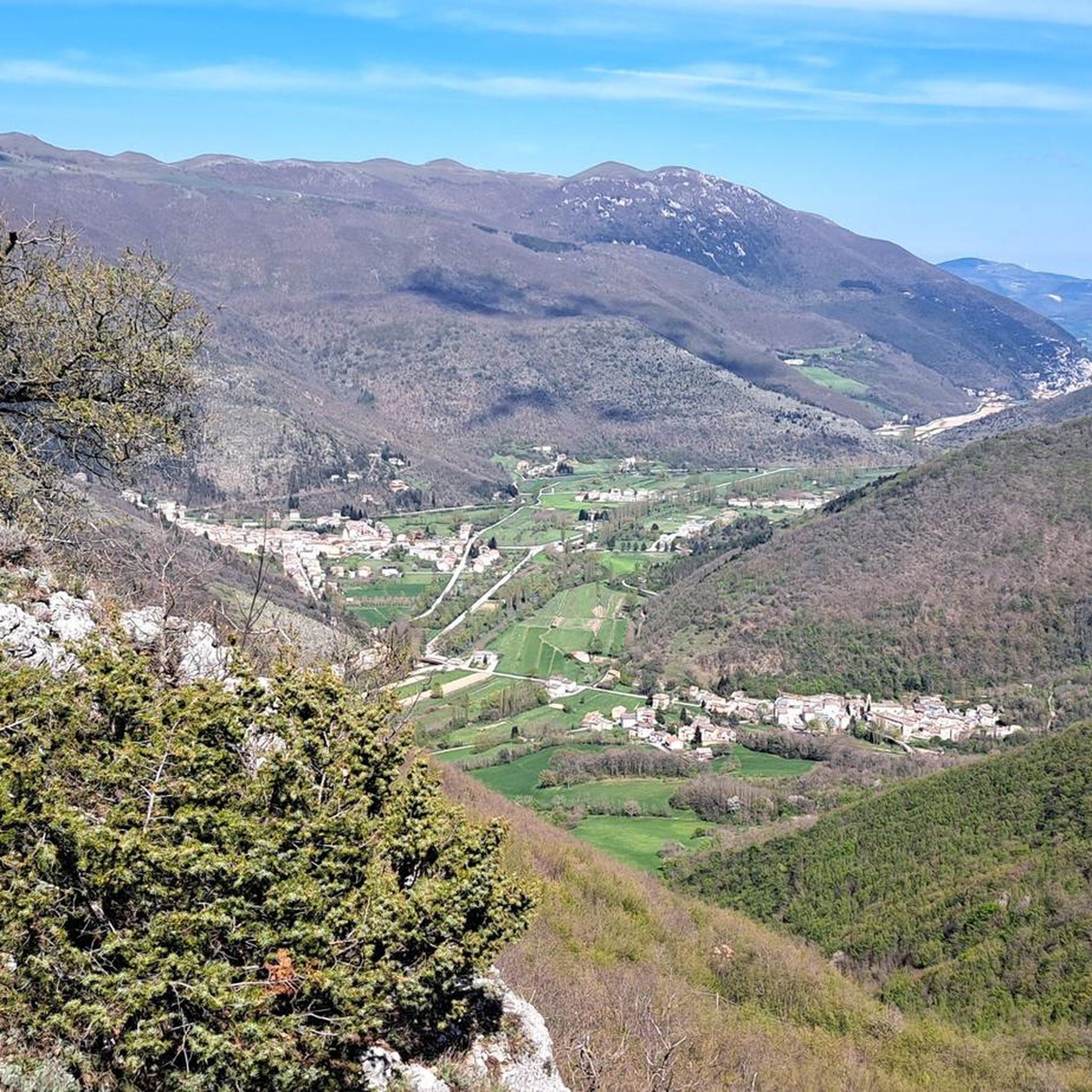
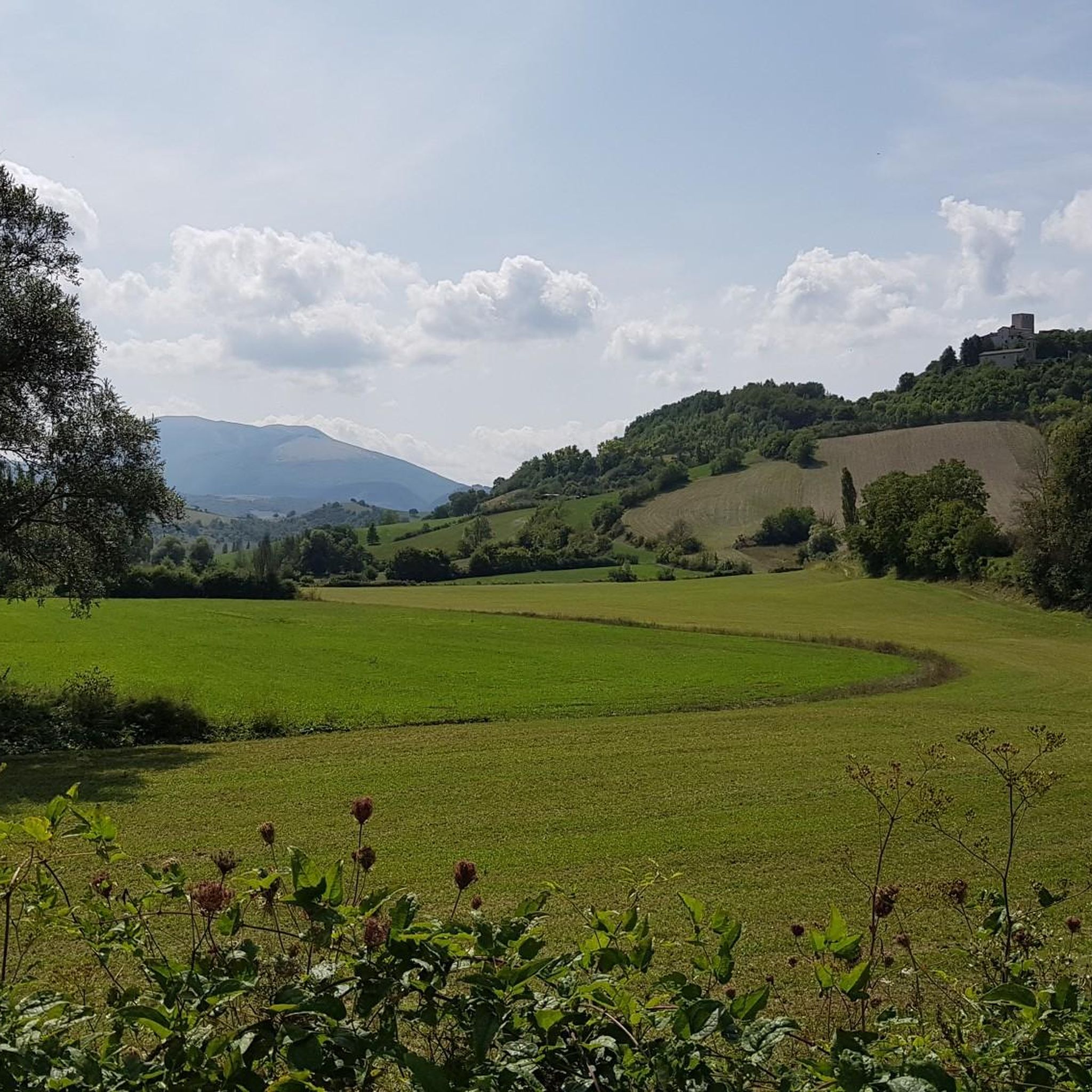
Road cycling routes around Fiuminata traverse a landscape characterized by rolling hills, river valleys, and forested areas within the Apennine mountain range. The region offers varied terrain, from gentle ascents along valley floors to more challenging climbs into higher elevations. Road cyclists can expect a mix of open country roads and routes passing through small villages. The area's topography provides opportunities for both long distance road cycling routes and shorter, more accessible rides.
Best road cycling routes around Fiuminata
- The…
Last updated: July 8, 2026
4.0
(3)
139
riders
79.7km
03:26
690m
690m
Moderate road ride. Good fitness required. Mostly well-paved surfaces and easy to ride.
36
riders
56.0km
02:41
770m
770m
Moderate road ride. Good fitness required. Mostly well-paved surfaces and easy to ride.

Sign up for free
26
riders
40.4km
02:23
1,000m
1,010m
Hard road ride. Very good fitness required. Mostly well-paved surfaces and easy to ride.
10
riders
13.8km
00:38
140m
140m
Easy road ride. Great for any fitness level. Mostly well-paved surfaces and easy to ride.
29
riders
65.1km
03:05
870m
870m
Moderate road ride. Good fitness required. Mostly well-paved surfaces and easy to ride.
Get access to more routes and recommendations from other explorers.
Sign up for free
Already have an account?
Our route recommendations are based on thousands of hikes, rides, and runs completed by other people on komoot.
Start today with a free account
Your next adventure awaits.
Login or Signup

Tips from the Community

Spectacular mountain accessible by road bike with climbs from four sides Braccano Castel San Pietro (Elcito) Frontale, Poggio San Vicino to obtain the Monte San Vicino Brevet
1
0

beautiful to admire and photograph
0
0
Castelletta no Castellina……
0
0

End of the climb named after Michele Scarponi
0
0

From the Fabriano factory to the village there is a leg-breaking but fun climb
0
0

It's worth a stop in town to see the murles
0
0


The villages in this area are all worth seeing. You should have time to understand its history and traditions.
0
0
Frequently Asked Questions
How many road cycling routes are available around Fiuminata?
There are over 150 road cycling routes in the Fiuminata region, offering a wide variety of options for different skill levels and preferences. The komoot community has explored these routes over 3,900 times.
Are there easy road cycling routes suitable for beginners in Fiuminata?
Yes, Fiuminata offers several easy road cycling routes. For instance, the View of Matelica – Fontanella di Matelica loop from Esanatoglia is an easy 10.9-mile (17.5 km) trail that takes about 48 minutes to complete, perfect for those new to road cycling or looking for a relaxed ride.
Can I find challenging road bike climbs in the Fiuminata region?
Absolutely. The Fiuminata region, with its Apennine mountain terrain, features numerous challenging climbs. A notable difficult route is the Tempio del Valadier – Fontanella di Matelica loop from Esanatoglia, which includes over 3,300 feet (1,000 meters) of climbing over 42.1 miles (67.7 km).
What is the best time of year for road cycling in Fiuminata?
The spring and autumn months generally offer the most pleasant conditions for road cycling in Fiuminata, with milder temperatures and less rainfall. Summer can be warm, especially in the valleys, but higher elevations provide cooler air. Winter can bring colder temperatures and potential snow in the mountains, making it less ideal for road biking.
Are there long-distance road cycling routes available in Fiuminata?
Yes, Fiuminata is well-suited for long-distance road cycling. Routes like the Valico di Campodonico – Sturinalto Fountain loop from Esanatoglia cover nearly 50 miles (80 km) with significant elevation changes, providing a substantial challenge for endurance riders.
Are there road cycling routes in Fiuminata that pass through scenic viewpoints or landmarks?
Many routes in Fiuminata offer scenic views of the undulating hills and river valleys. You can also find routes that pass near historical sites and natural monuments. For example, you might encounter highlights like Piani di Montelago or the various summits like Monte Giuoco del Pallone, offering breathtaking panoramas.
What do other road cyclists enjoy most about road cycling in Fiuminata?
The Fiuminata region is highly rated by the komoot community, with an average score of 4.5 stars from over 70 reviews. Cyclists often praise the varied terrain, from gentle valley floors to challenging climbs, and the opportunity to explore charming small villages and open countryside.
Are there loop trails for road cycling in Fiuminata?
Yes, many road cycling routes in Fiuminata are designed as loops, allowing you to start and finish at the same point. Examples include the Fontana di Pioraco – Fontanella di Matelica loop from Castel Sant'Angelo, which is a moderate 32-mile (51.7 km) ride.
Can I find road cycling routes that include historical sites or castles?
The Fiuminata area is rich in history. While cycling, you might pass by or near historical sites such as Castello di Gagliole or the Cassero Tower. These routes offer a blend of physical activity and cultural exploration.
Are there road cycling routes suitable for families with children in Fiuminata?
For families, it's best to look for the easier, shorter routes with less elevation gain. The region offers some gentle sections along valley floors that are more suitable for a family outing. Always check the route's difficulty and elevation profile to ensure it matches your family's capabilities.
Where can I find parking for road cycling routes in Fiuminata?
Many routes start from towns and villages like Esanatoglia or Castel Sant'Angelo, where public parking is generally available. It's advisable to check local maps or komoot route details for specific parking suggestions near the starting points of your chosen route.
Are there opportunities for cafe stops along road cycling routes in Fiuminata?
Yes, many road cycling routes in Fiuminata pass through or near small villages and towns. These often provide opportunities for cafe stops, where you can refuel with coffee, pastries, or a light meal, experiencing local Italian hospitality along your ride.
Most popular attractions around Fiuminata

Get inspired with the komoot mobile app


Explore more
Browse the best Road cycling routes in other regions.
